


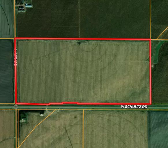


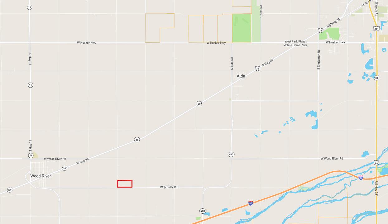
LEGAL DESCRIPTION: The South Half of the Southwest Quarter (S½SW¼) of Section Twenty-Two (22), Township Ten (10) North, Range Eleven (11) West of the 6th P.M., Hall County, Nebraska, less a tract.
LOCATION: From Wood River, Nebraska: 2.5 miles east on West Schultz Road to the southwestern corner of the property.
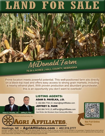
ACRES & TAXES: Tax-Assessed Acres | 76.54 ± acres 2025 Real Estate Taxes | $3,463.44
LEASES: Full possession upon closing!
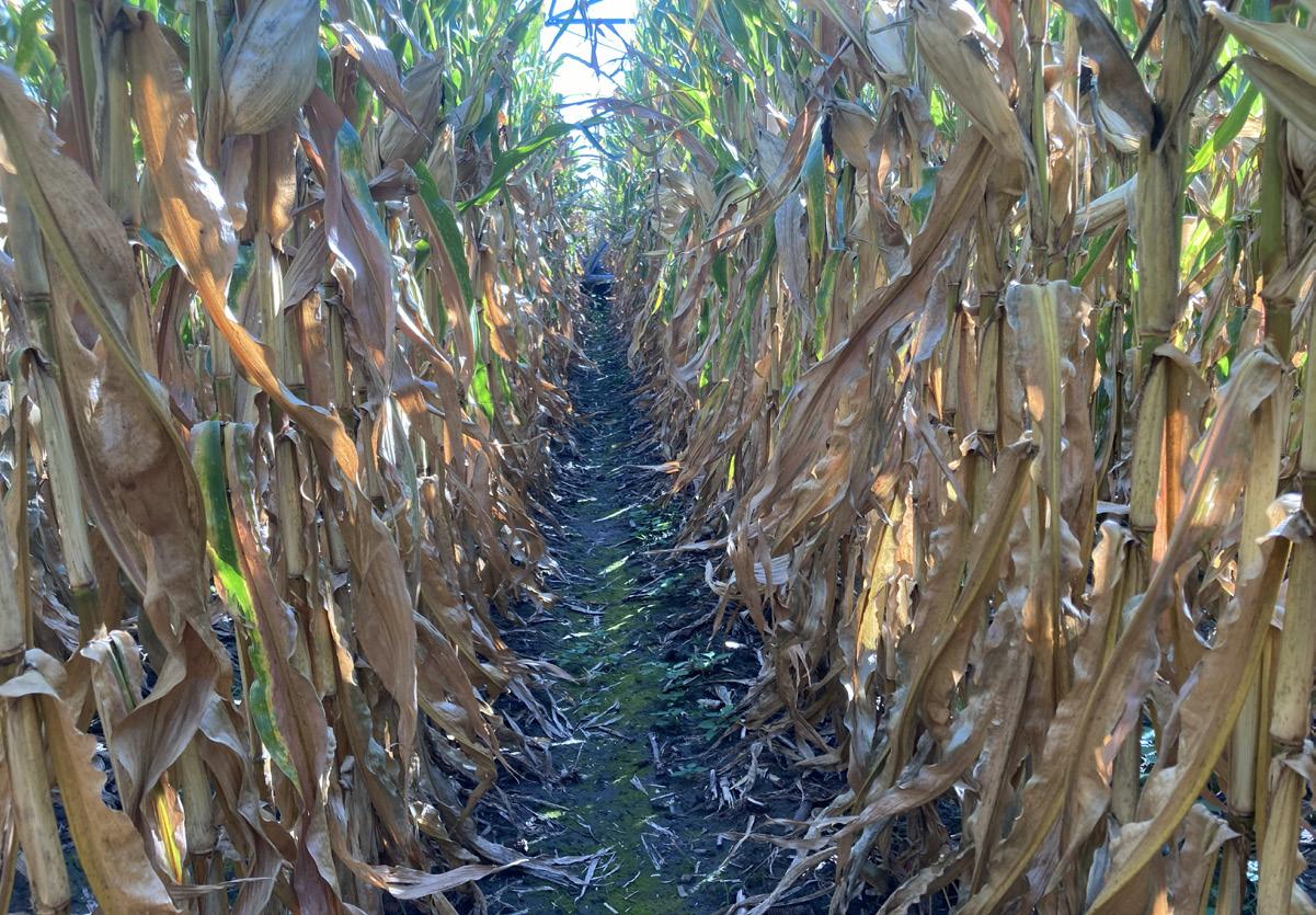
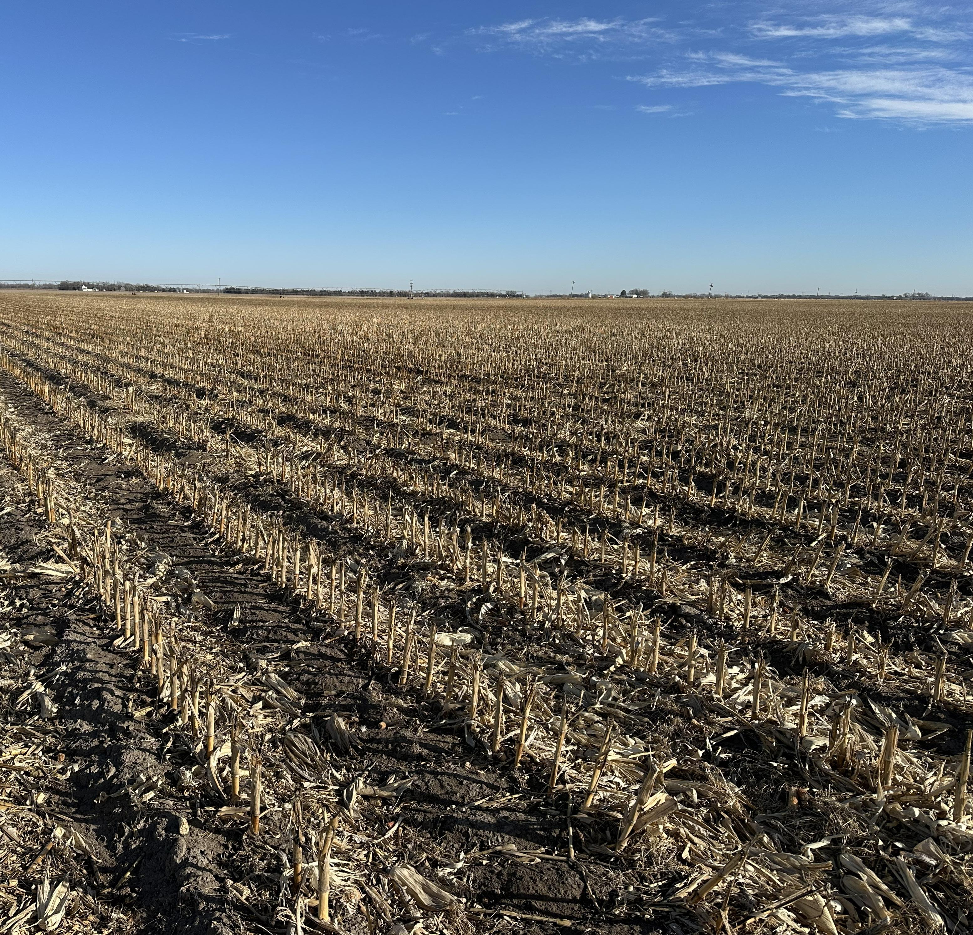
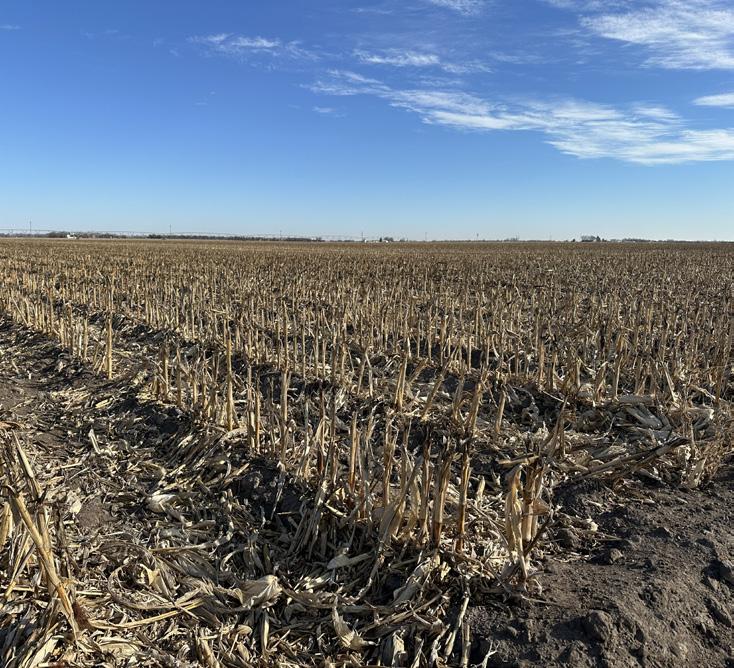
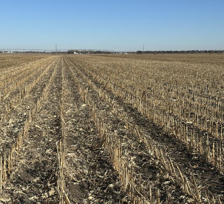
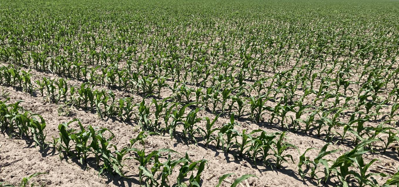
SOILS: Primary soils on the property consist of Oneill and Pivot loams with slopes ranging from 0-6%.
NRD: Central Platte Natural Resources District
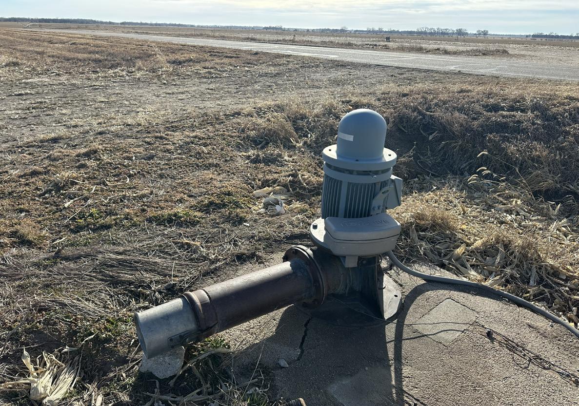
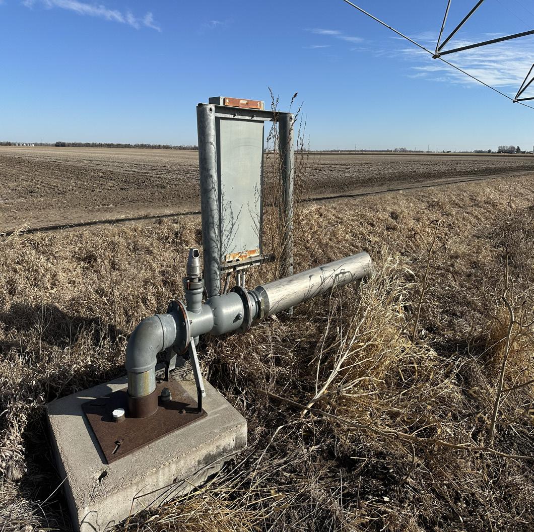
WELL INFORMATION: Well Registration - G-009662
● Completion Date - 01/01/1952
● Well Depth - 70 feet
● Static Water Level - 8 feet
● Pumping Level - 40 feet
● Column - 9 inches
● Gallons/Minute - 1000 gpm
Well Registration - G-117799
● Completion Date - 09/17/2002
● Well Depth - 50 feet
● Static Water Level - 24 feet
● Pumping Level - 44 feet
● Column - 6 inches
● Gallons/Minute - 850 gpm
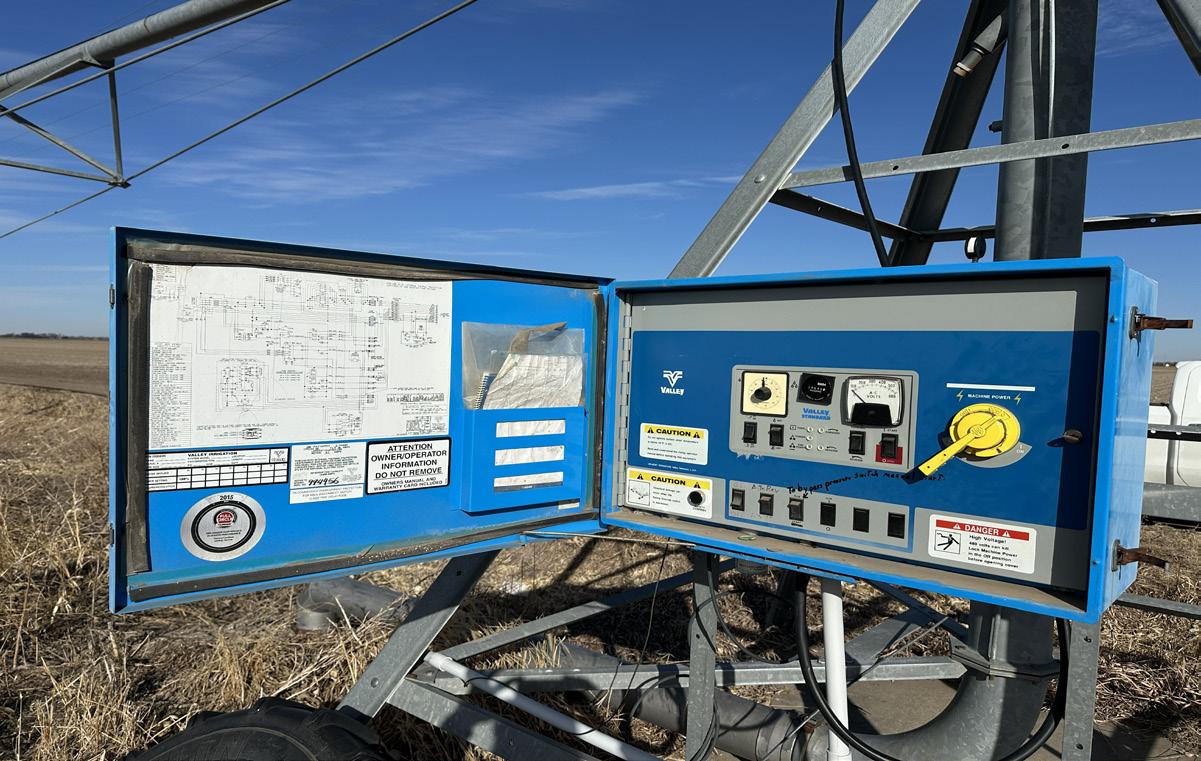
EQUIPMENT: Valley center-pivot irrigation system; submersible well and electric panel; electric well and electric panel.
FSA INFORMATION: Information to be updated soon!
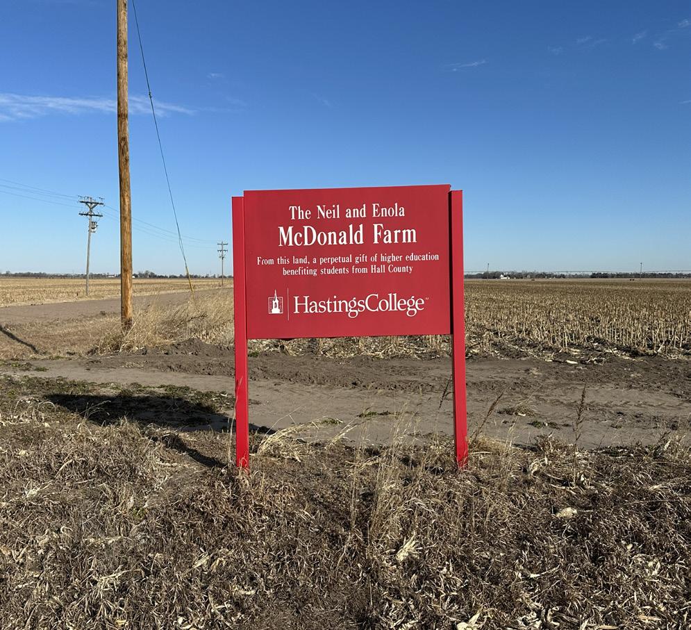
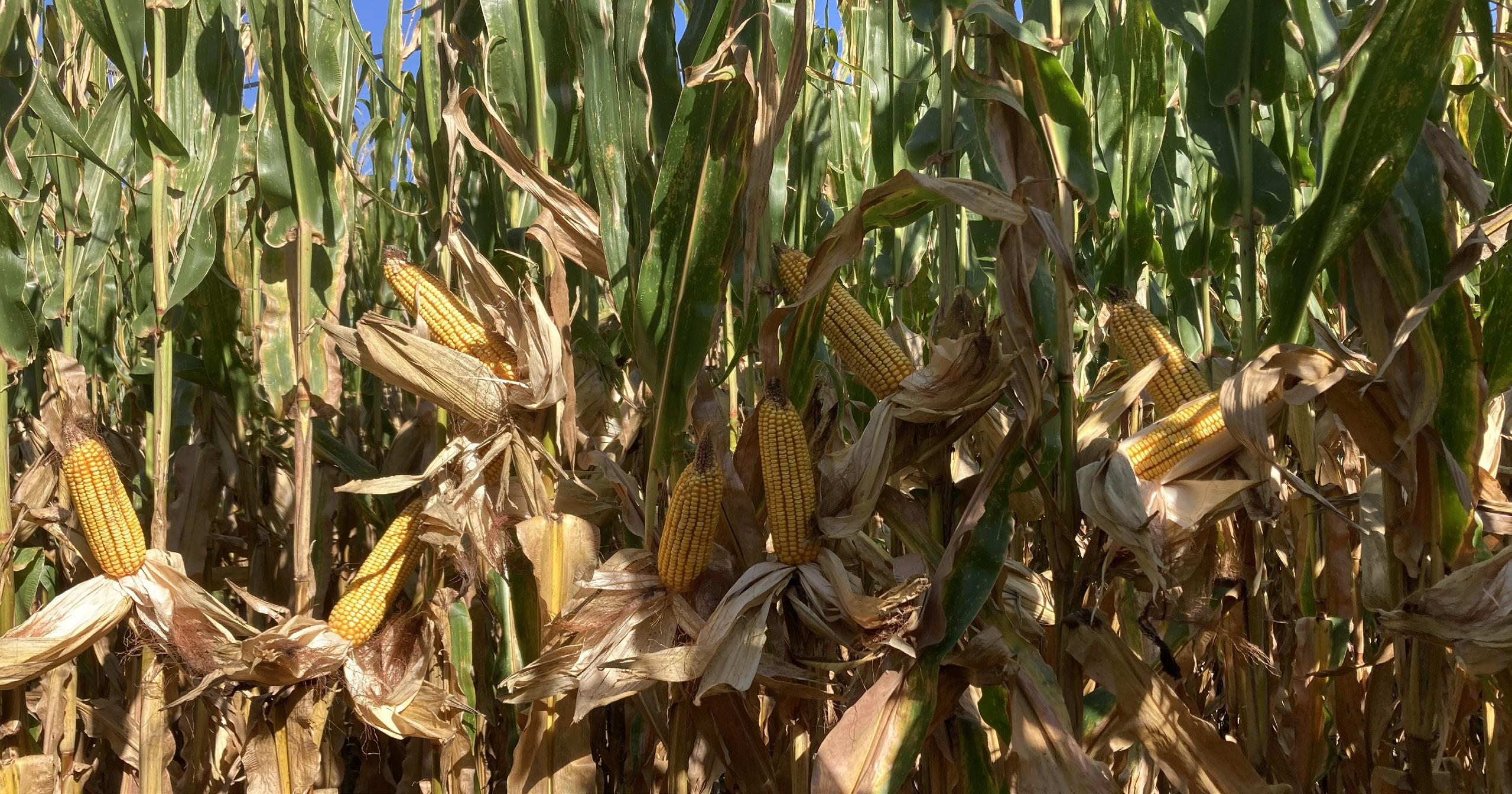
COMMENTS: Irrigated farm with excellent terrain in a very progressive neighborhood!
PRICE: $845,000.00