


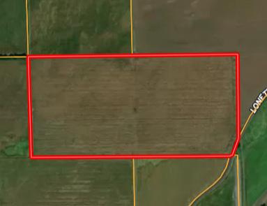


LEGAL DESCRIPTION: The Northwest Quarter of the Southeast Quarter (NW¼SE¼) and the Northeast Quarter of the Southwest Quarter (NE¼SW¼) of Section Thirty-Six (36), Township Thirteen (13) North, Range Seven (7) West of the 6th P.M., Merrick County, Nebraska.
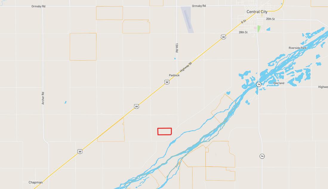
LOCATION: From Central City, Nebraska: Approximately 2.5 miles southwest on Highway 30, then 2 miles south on 13th Road, then 0.3 miles southwest on Lonetree Road, to the southeastern corner of the property.
ACRES & TAXES: Tax-Assessed Acres | 78.08 ± acres 2025 Real Estate Taxes | $3,493.60
LEASES: Full possession upon closing!
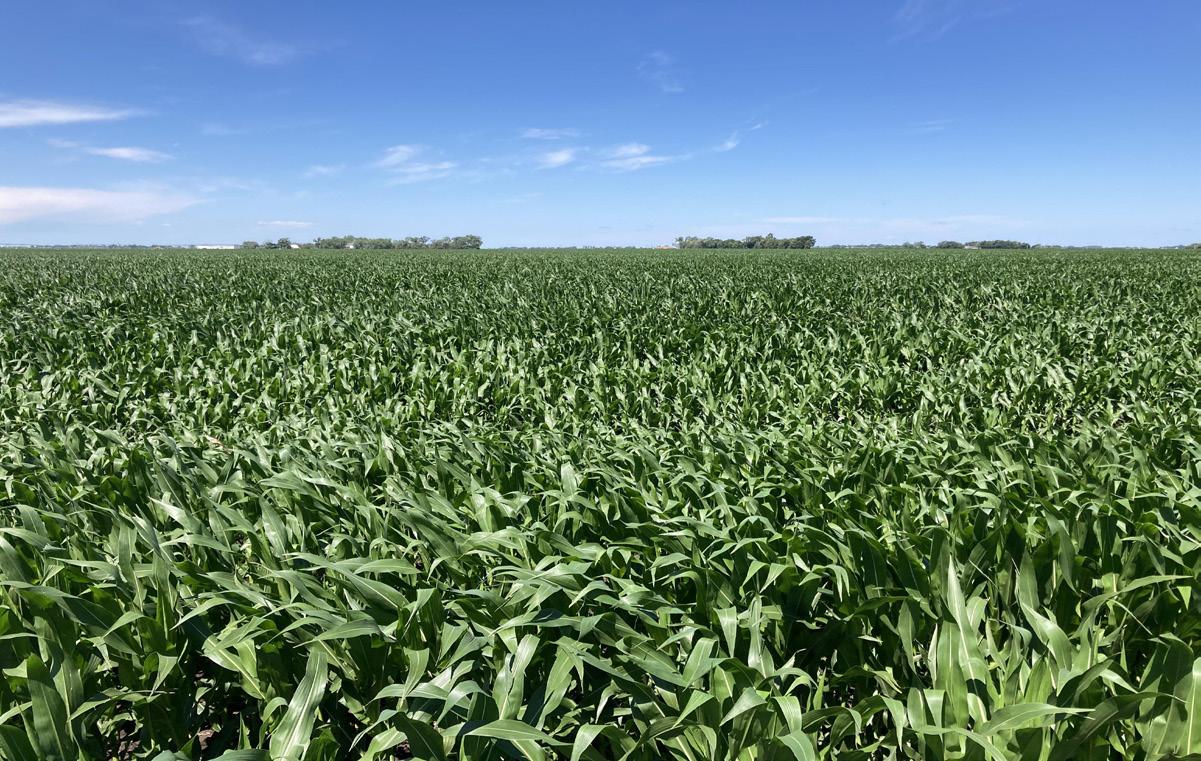
SOILS: Primary soils on the property consist of Leshara silt loam and Merrick loam.
NRD: 77.97 certified irrigated acres reported by the Central Platte Natural Resources District.
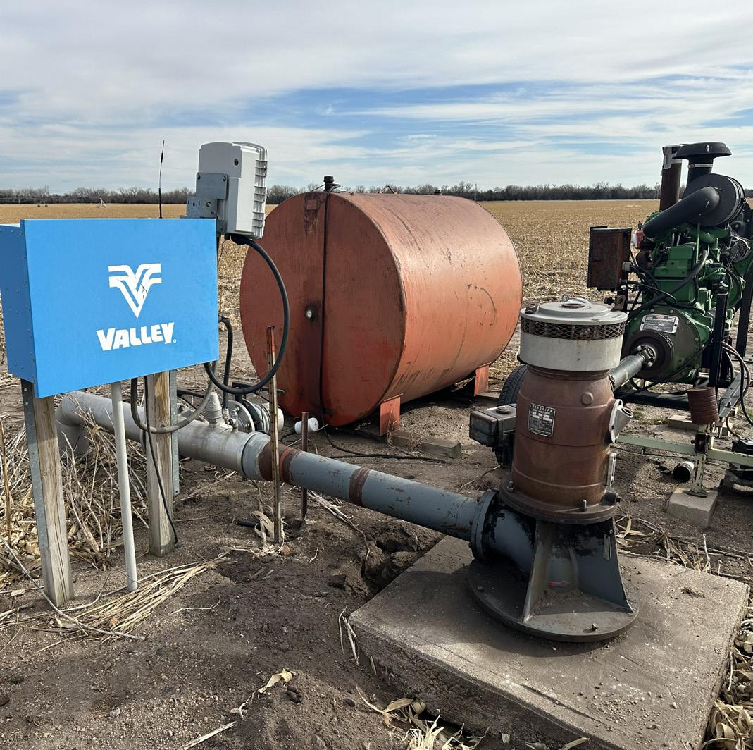
WELL INFORMATION: Well Registration - G-057935
● Completion Date - 06/10/1977
● Well Depth - 52 feet
● Static Water Level - 9 feet
● Pumping Level - 30 feet
● Column - 6 inches
● Gallons/Minute - 700 gpm
EQUIPMENT: Underground pipe and Western Land Roller pump/well (tenant owns all other irrigation equipment)
FSA INFORMATION: Total Farmland: 77.97 ± acres
Total Cropland: 77.97 ± acres Government Base Acres: Corn - 68.50 PLC Yields: Corn - 169 bu Soybeans - 8.80 Soybeans - 50 bu
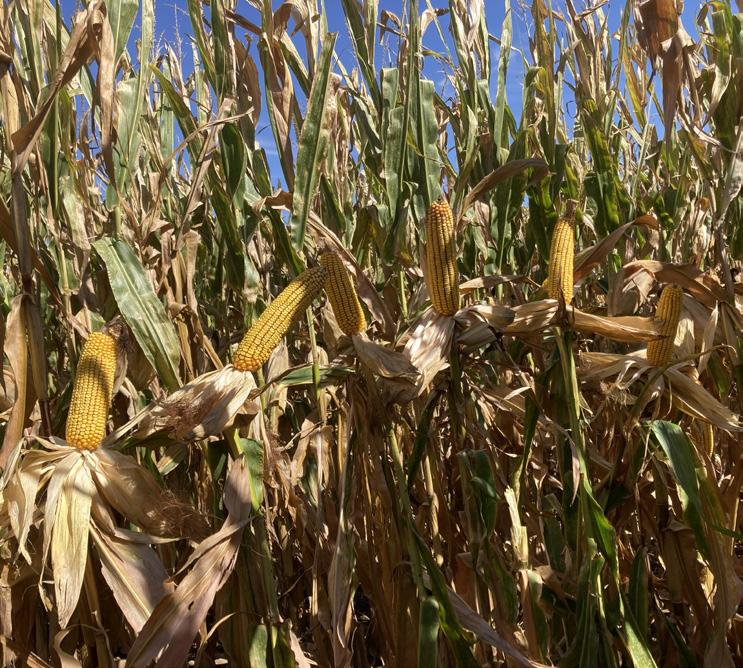
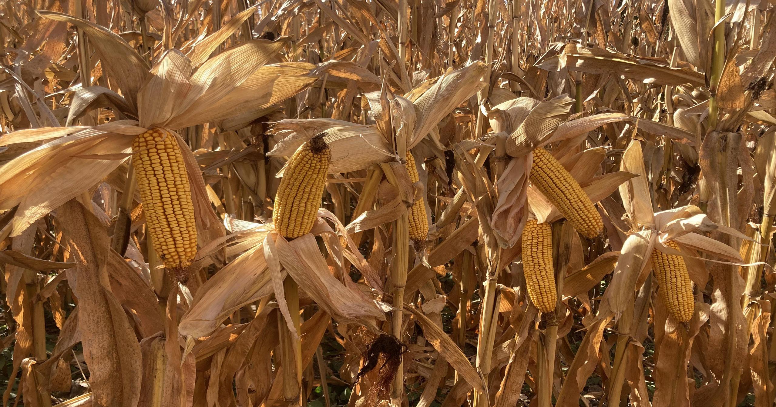
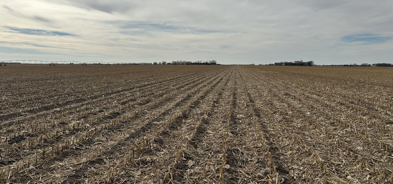
COMMENTS: Great water, productive soils, and good county road access combined with excellent access to area markets (including an ethanol plant) makes this farm a phenomenal investment!
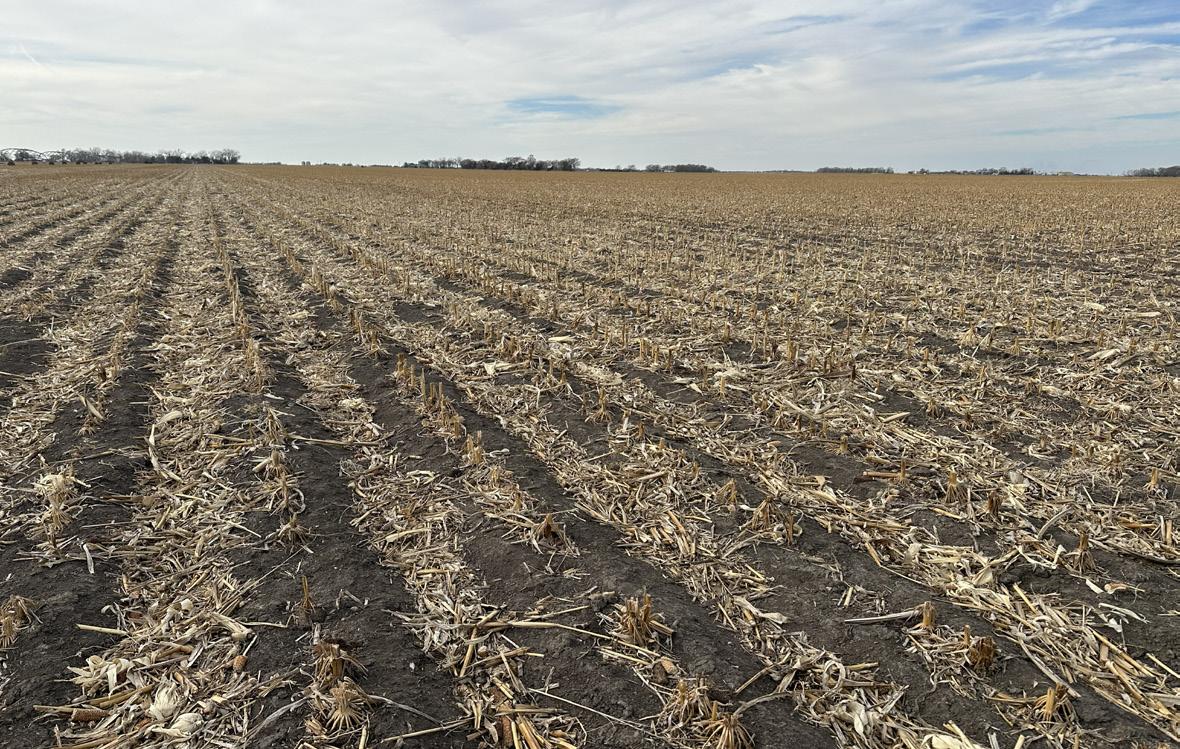
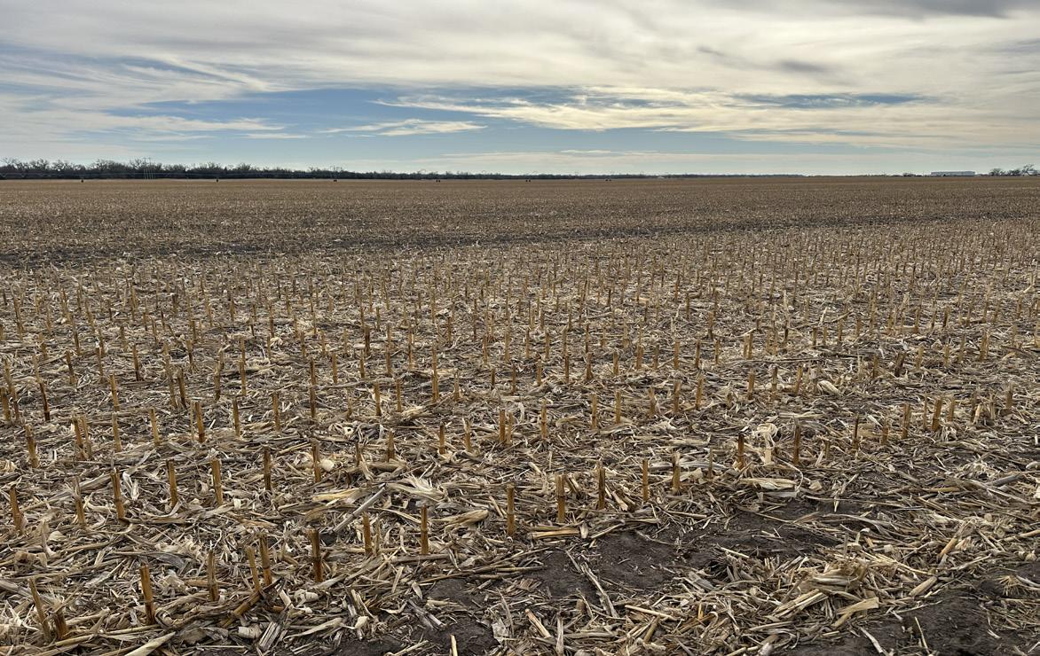
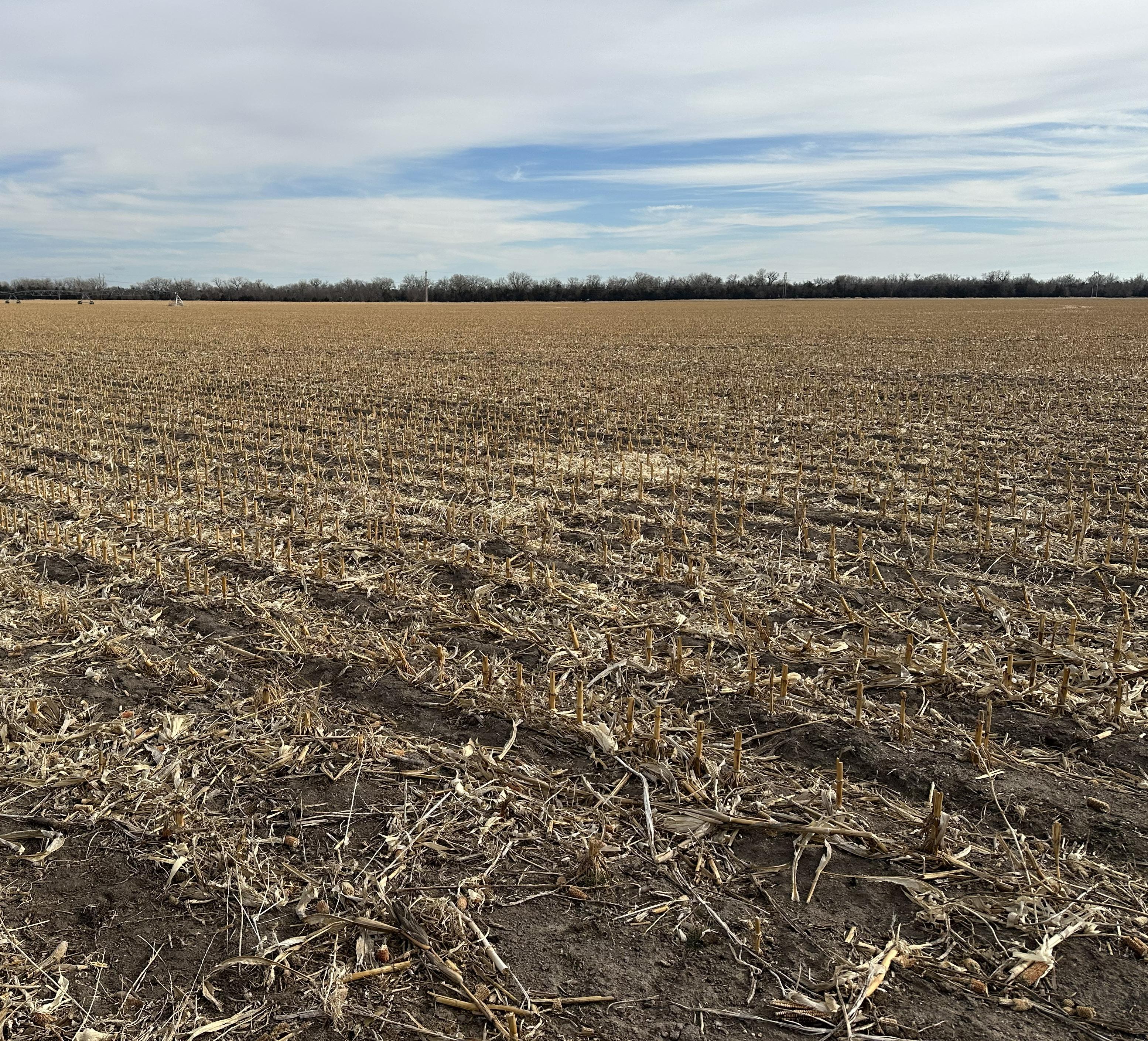
Well-managed irrigated farm featuring level terrain, strong production potential, and abundant underground water!