Landscape Portfolio

Page 1

PORTFOLIO

Kexin Zhao

Selected Work 2021-2023

Apply for Master of Landscape Architecture Bartlett, University College London

Email:zhaokexin1107@outlook.com

Tel:+86 1599910995

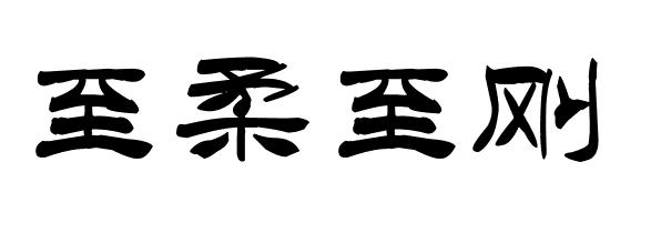
There is a Chinese saying: Water is the softest and hardest. In my works, water is involved in my design in three different forms: rain, river and flood. Using water as a clue, each project demonstrates my understanding of the relationship between contemporary human society and natural society.
Contents
Hi! My name is Kexin.
03 2021 Floating Community Center 02 2022 Tonghui River Landscape and Urban Design 01 2023 Rainwater Collection System Landscape Design

01

Rainwater Collection System Landscape Design

Professional Project

SDC studio | Beijing Jiaotong University

Team Work

Collaborators:

Guo Xinchen, Bian Wenyan, Tao Xuanshu

My duty: In charge of design, diagrams, representations production drawings

Instructor

Chen Yongquan: Associate Professor| Beijing Jiaotong University

E-mail: chengyongquan@bjtu.edu.cn

Li Junjie: Associate Professor | Beijing Jiaotong University

E-mail:lijunjie@bjtu.edu.cn

Location

Zhoushan Village, Henan Province

Date

2023.3-2023.9

Status

Construction finished in 2023.9

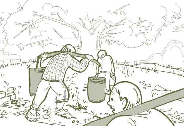
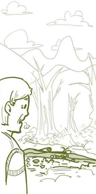
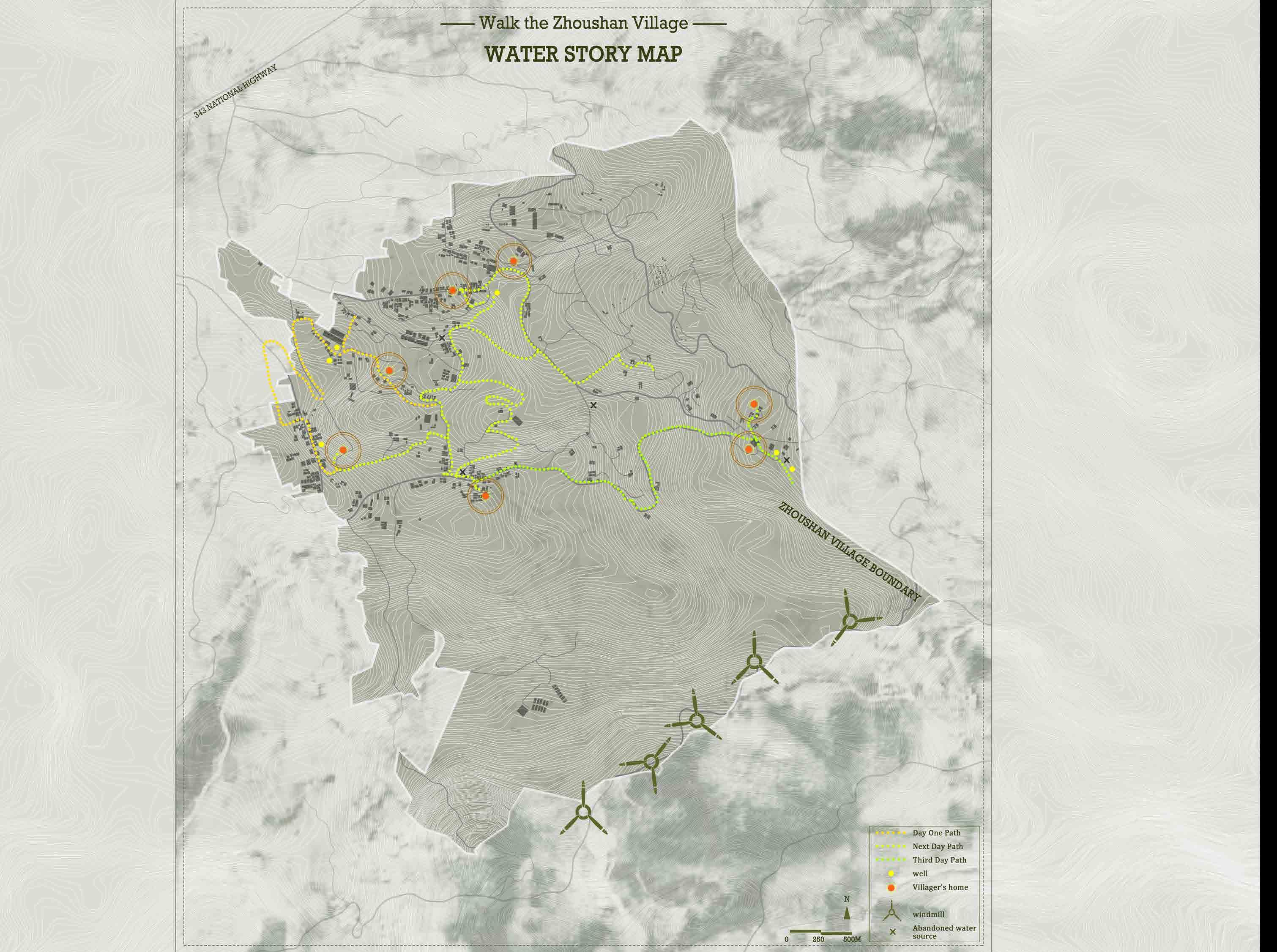
The production and life of residents in the village are threatened by water shortage in the dry season and flooding in the wet season. I visited the entire village to understand the way of water extraction and storage. Finally, based on the current situation of water use, we developed a water system model of wet season tank collection, multi-layer purification, and dry season tank storage. This space has also become a gathering place for public space in the village. The in-depth discussions I had with the water management Engineer about water purification methods allowed me to learn about advanced water purification technologies and to integrate technology and function in landscape design.
03

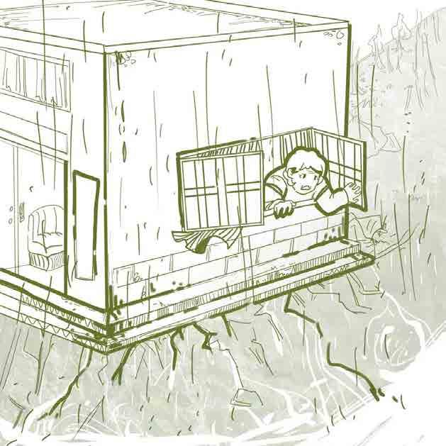
I'm afraid of water coming through the door whenit rains heavily.
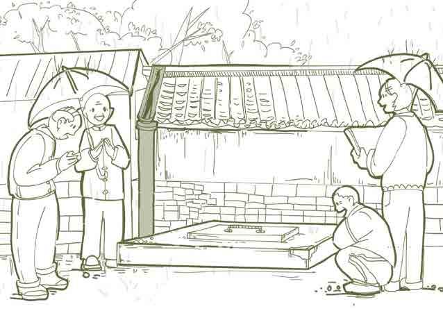
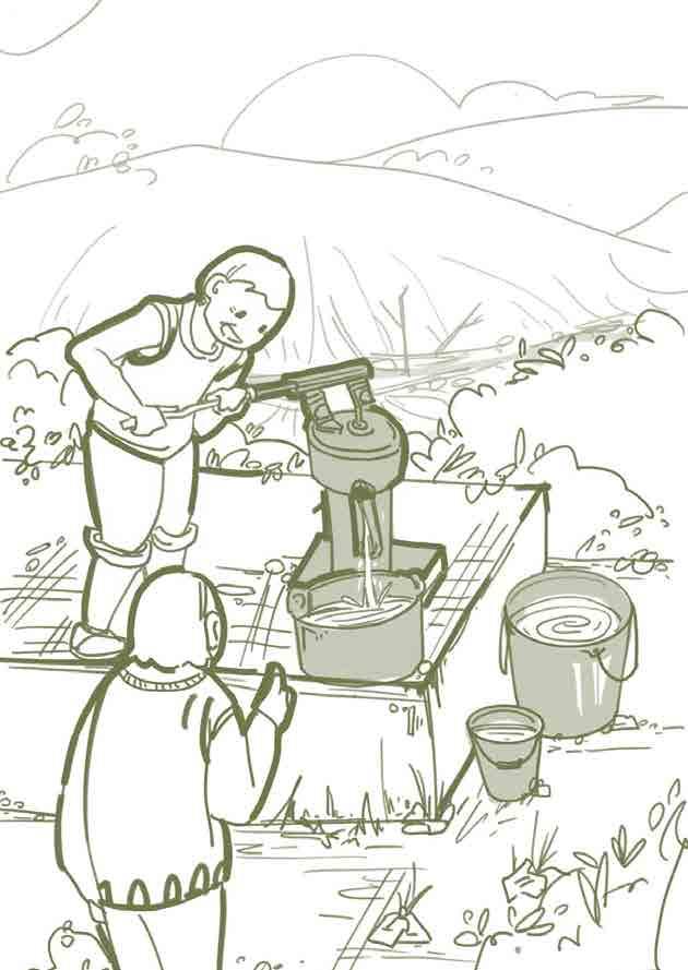
During the drought, we went to the Sophora tree Estuary to fetch water.

My house built an aqui fer to collect rainwater.

On rainy days, water on the road can cause old people to slip.

The water is not as good as before...

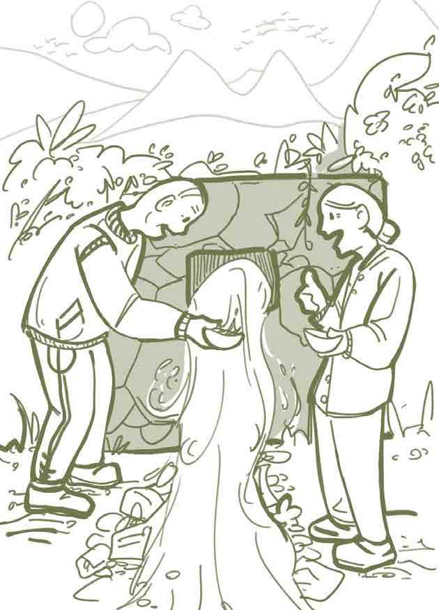
The water is sweeter than Nongfu Spring!

If there is a spring, use a spring; if there is no spring, use a well.

04
Xichuan local artisan master Yihei Retired grandmother Liang Community organizer Xien local artisan master Deyin local artisan master Wang local artisan master Huatao Retired grandmother

Traditional technique

Materials used in existing traditional construction techniques in zhoushan village.
Flood Drought
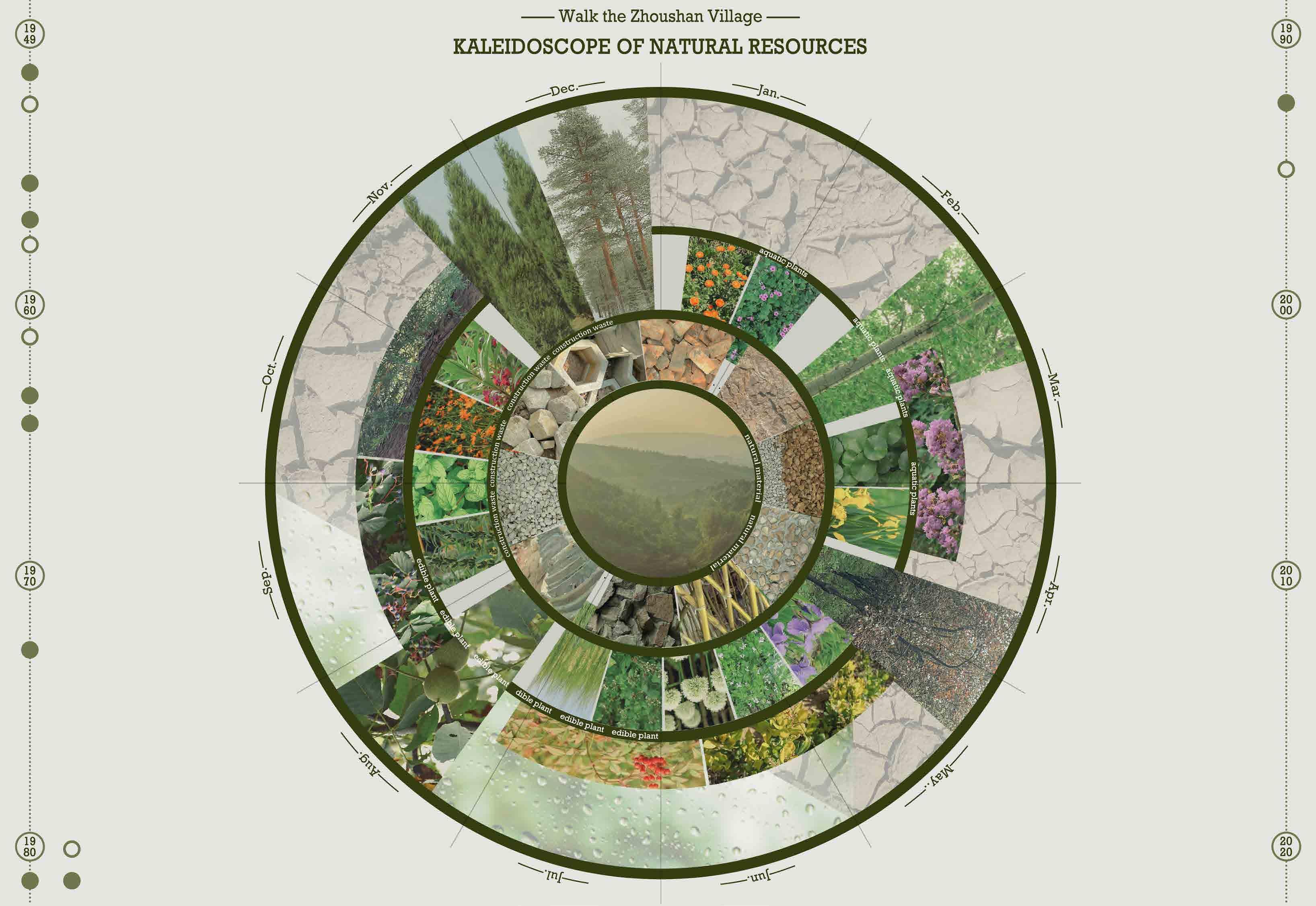
Material filtration

Test the filtration capacity of natural materials and construction waste.

natural material

Site soil
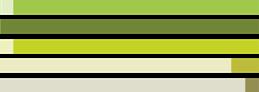
building waste
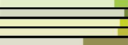
Bits of wood Sand
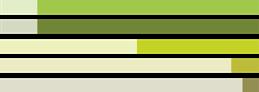
Water absorption capacity

Filtration time

reduced turbidity capacity

Reduced TDS capacity

The ability to adjust PH

05
Dry soil in the village Cracked ginger stone Cave Dwelling Full StoneWall Brickwork Tile Collage Straw Weaving cobblestone Ash tile Crushed red

Site location

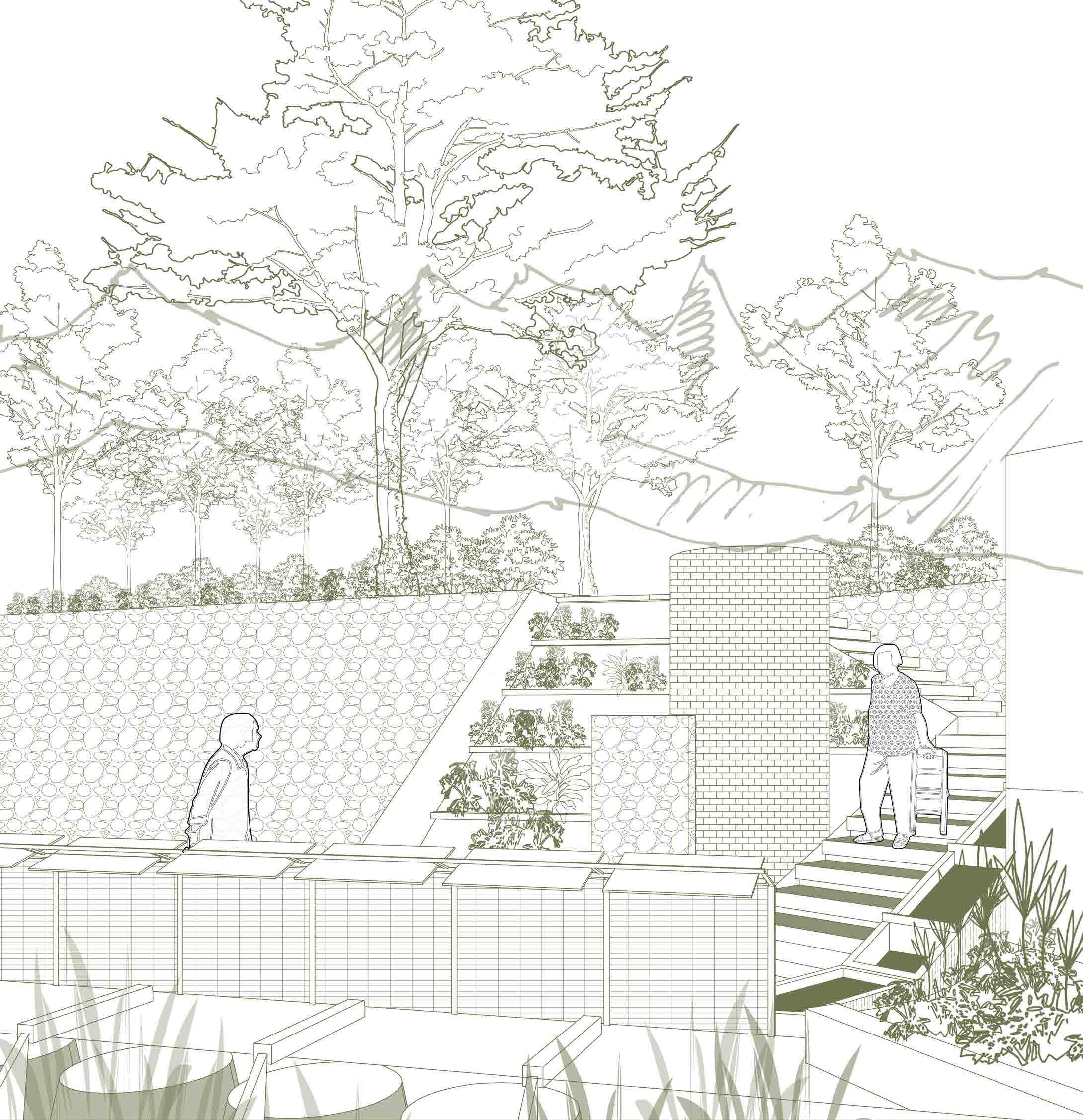
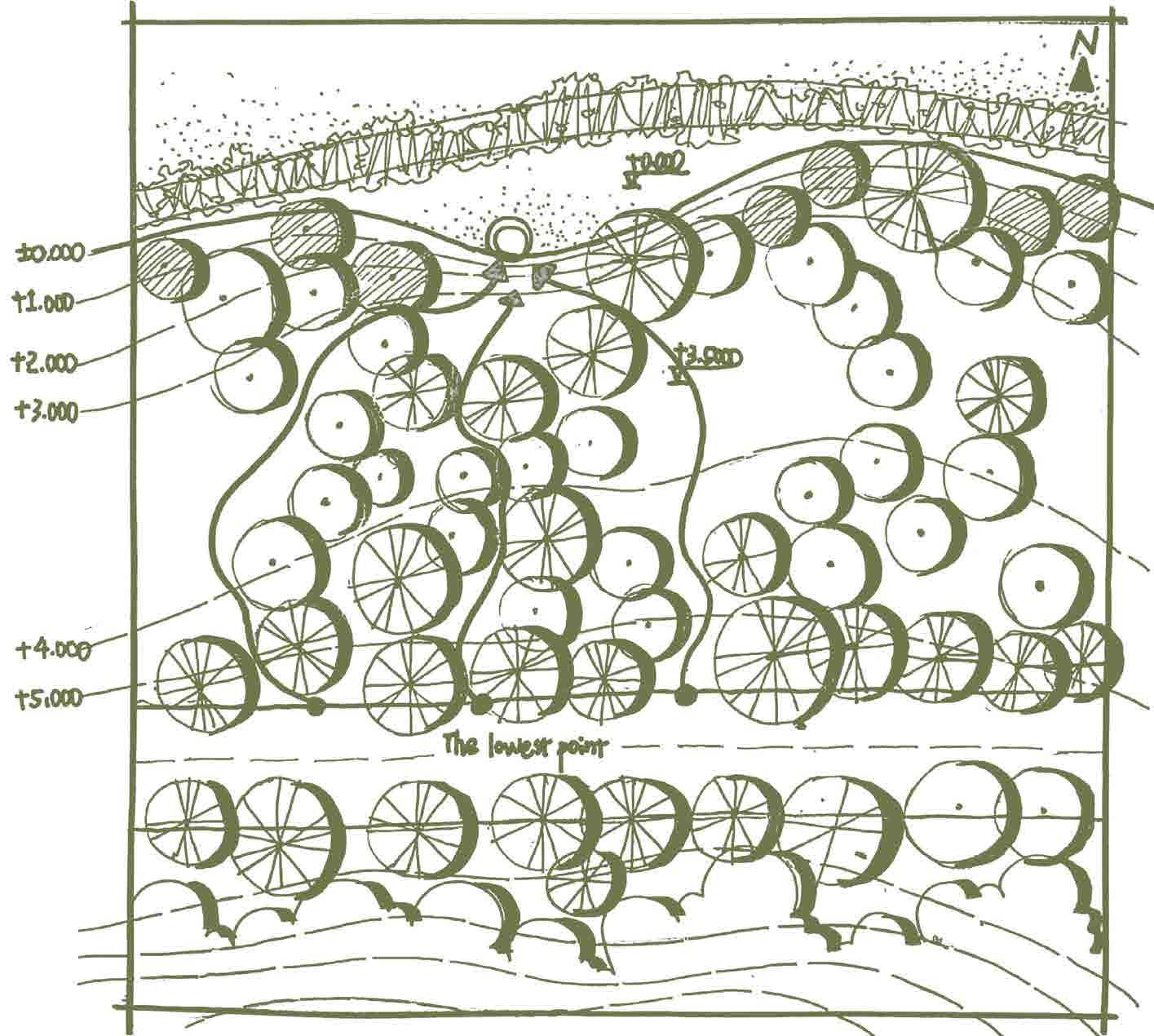
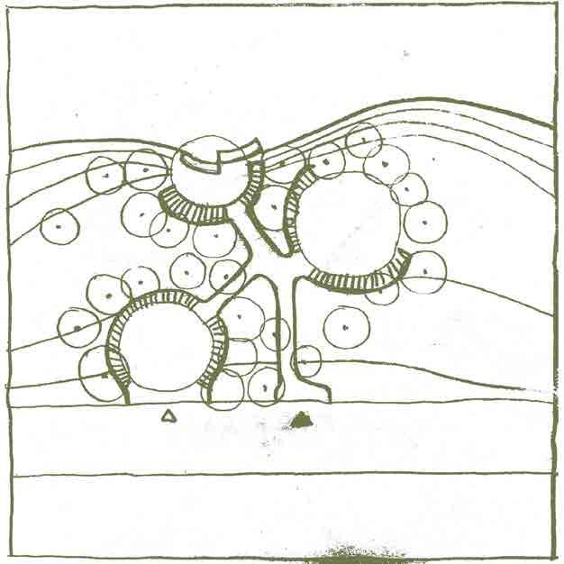
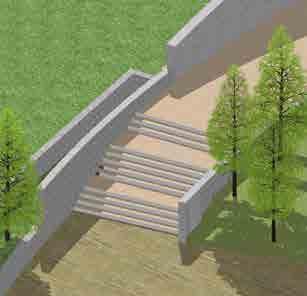
The design site is located in the west of Zhoushan Village, in the west of the dream home cave complex, with an area of about 100 square meters. To the south of the site is a 6m wide road and to the north is farmland.At present, the interior of the site is basically bare land washed by rain, and the east and west sides of the site are full of ornamental plants such as purple plum and poplar trees.

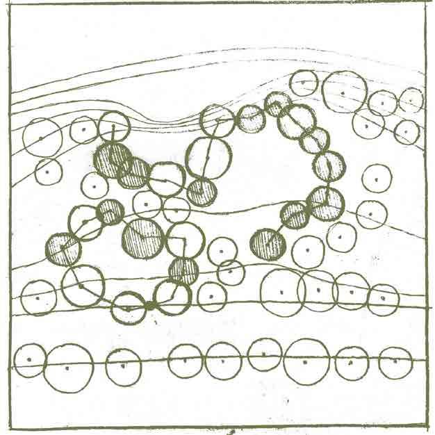
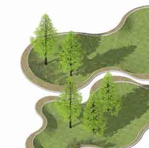
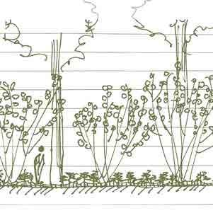
The purple plum and silver birch trees together enclose the main space and form a coherent structure.
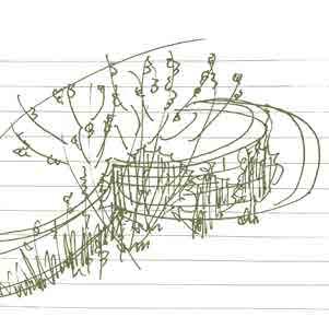
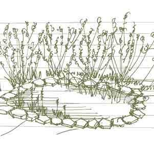
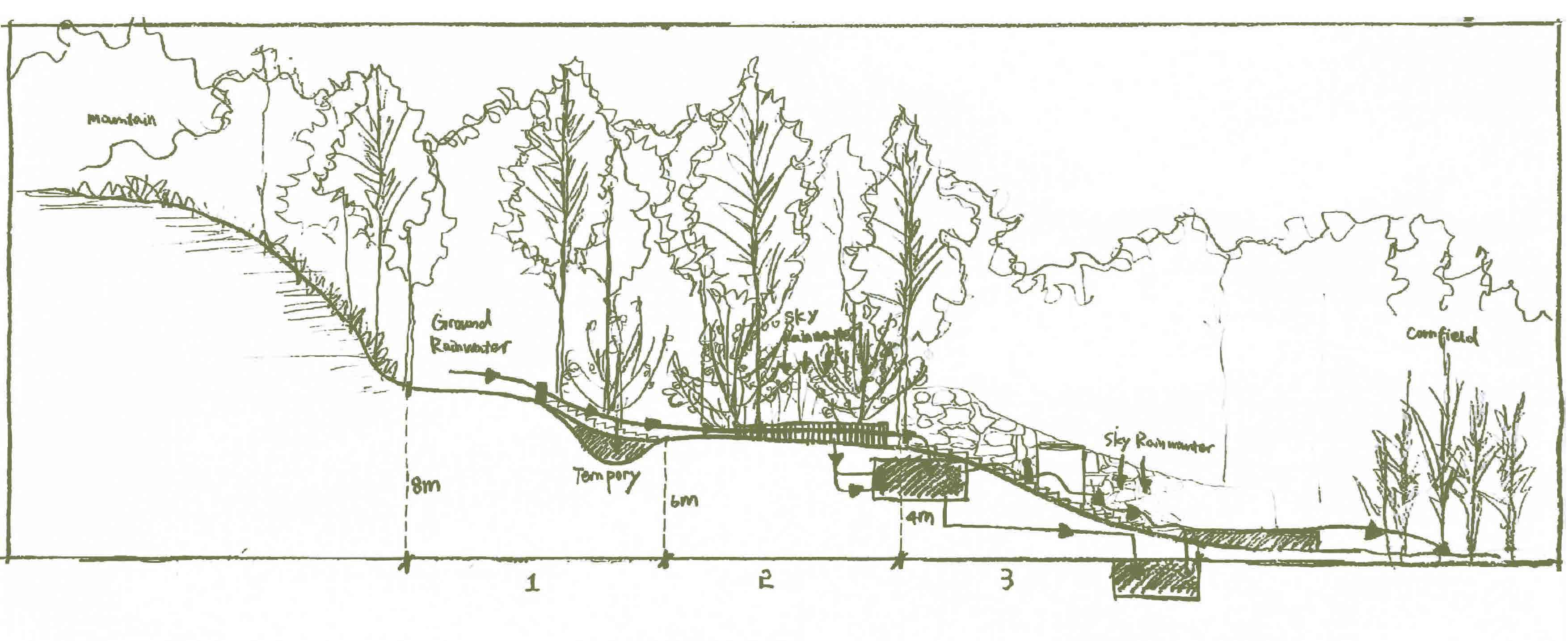
1.Pavement rainwater collection

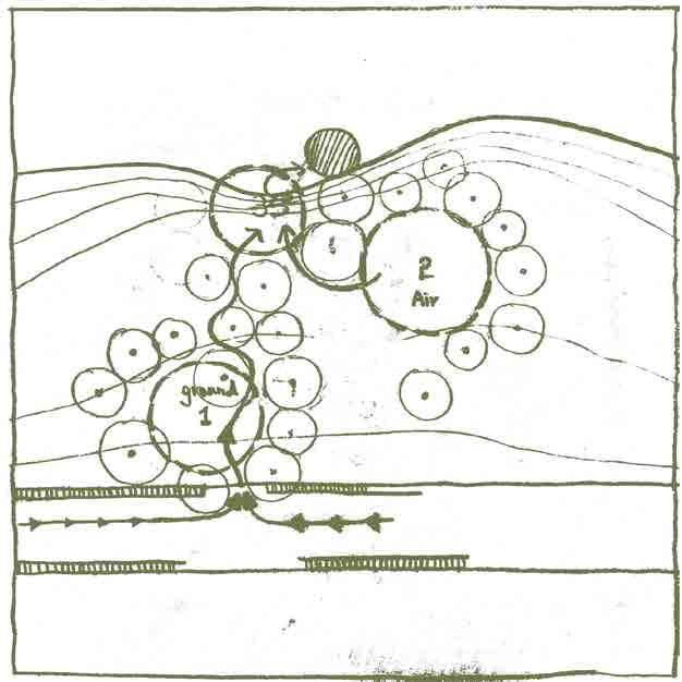
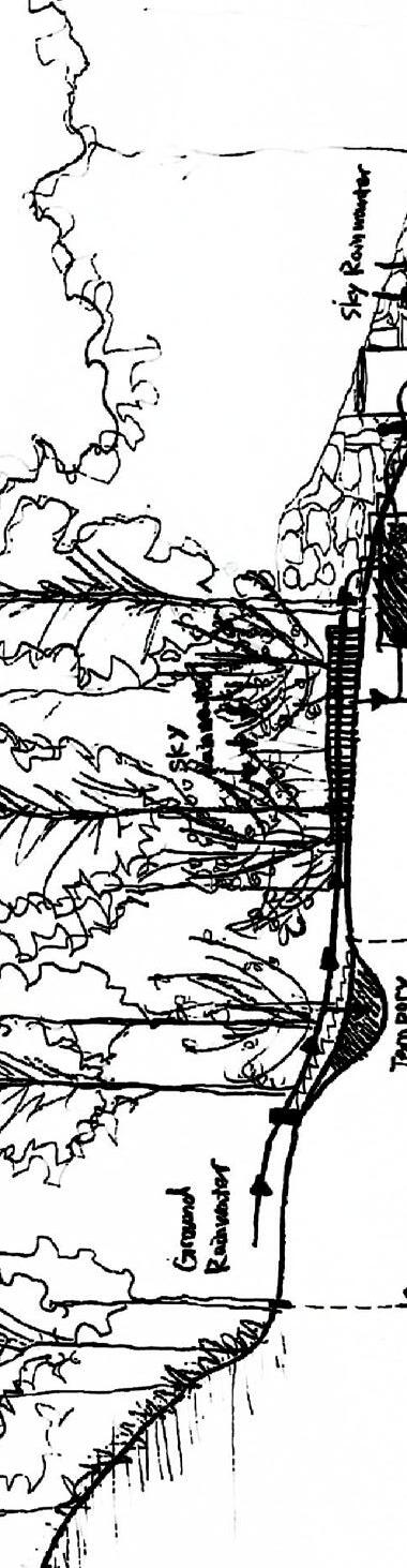
2.Sky rainwater collection

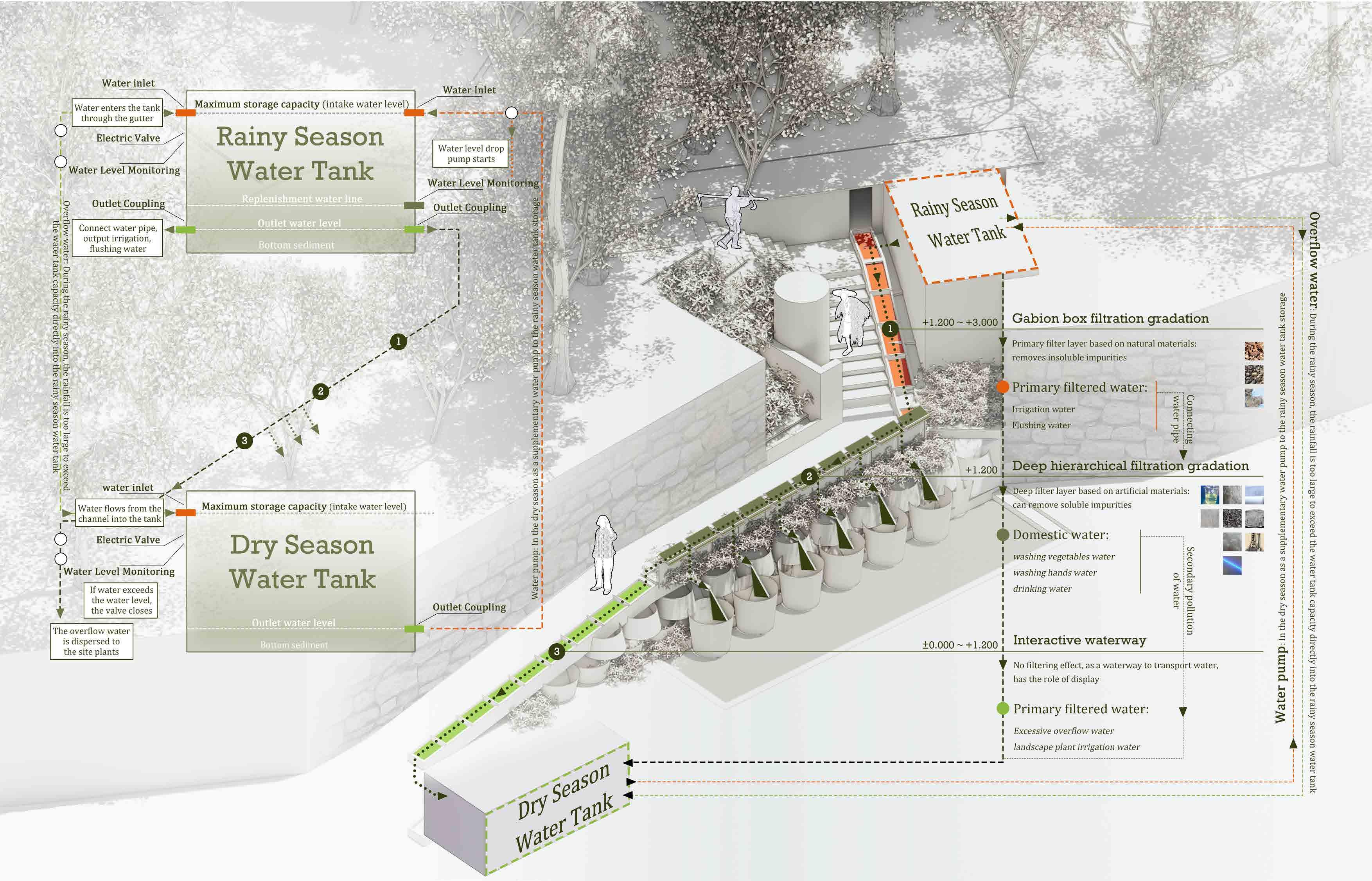
3.Rainwater filtration and display
There are overlaps between the human route and the water route and there are also places to avoid.

Rainfall runoff

In the site, the rain mainly flows from south to north, and there are three main storm drains washed out by the rain in the site. The rain enters from the lowest point of the road, passes through the storm drain, and then reflows out of the field from the north side of the site.

Existing plant Water path Human path
Section

Sky rainwater collection

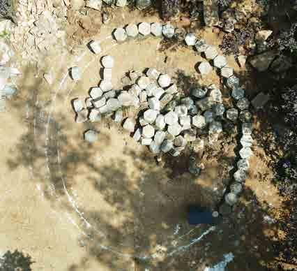
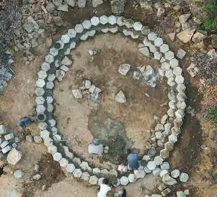
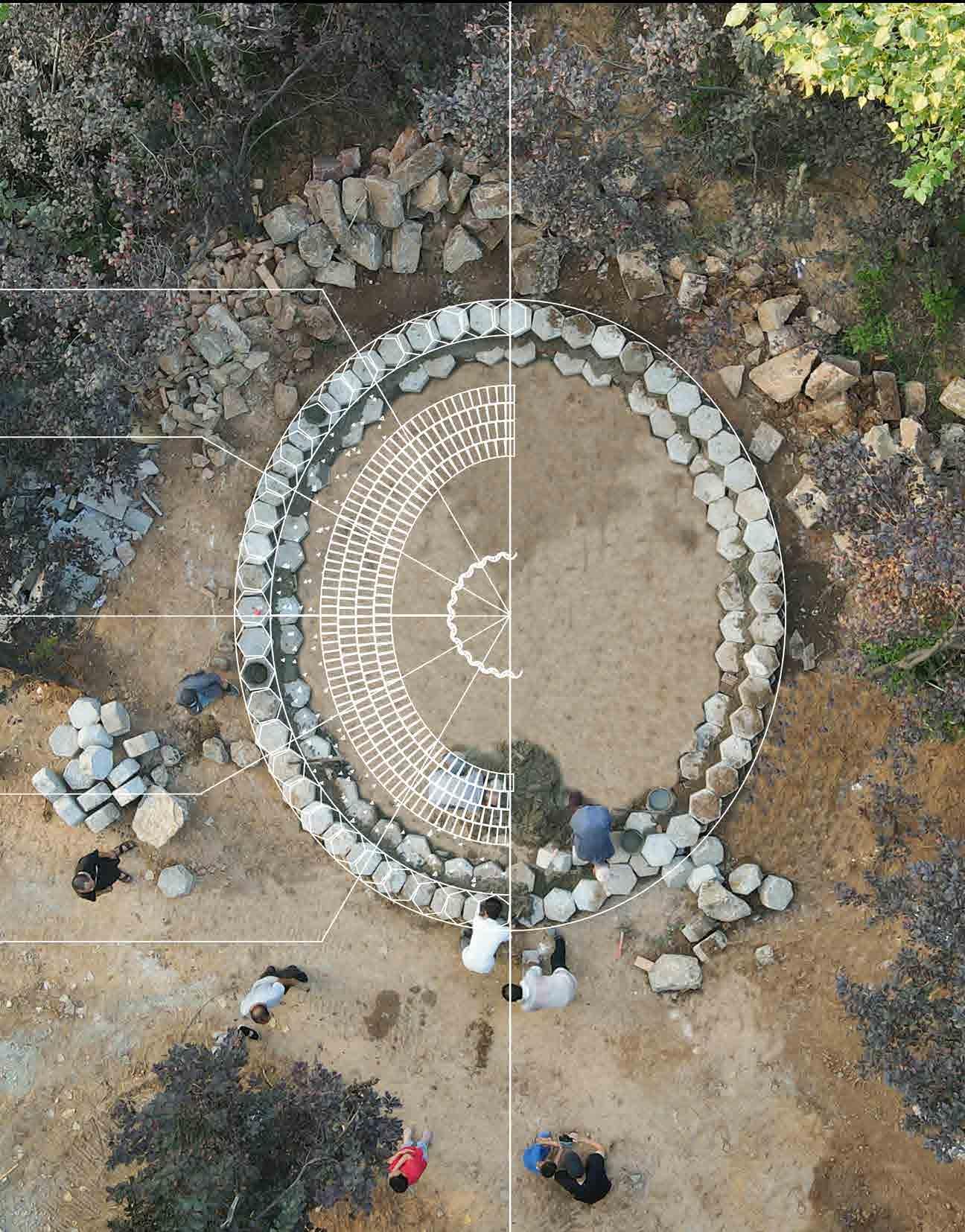
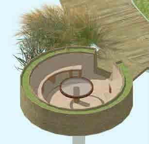
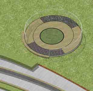
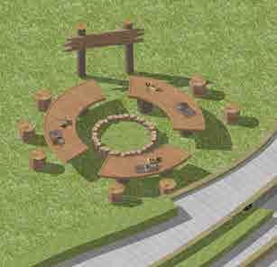
Construction waste forms a circular pool
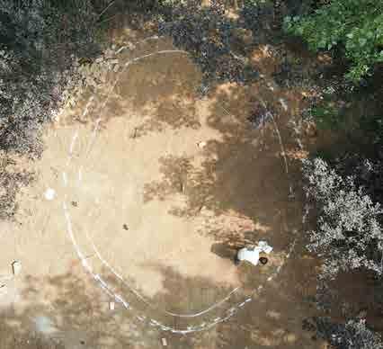
Based on the hexagonal waste material, the outline of the oval reservoir is formed

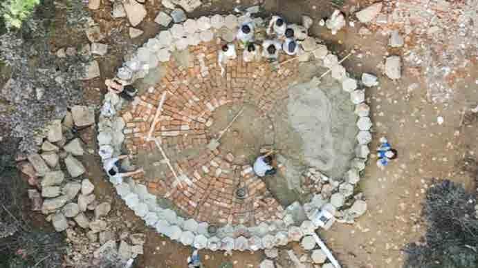
Use cement ash bedding to reduce rainwater

Use red bricks to form an arch bowl.

top layer is sprinkled with small green stones so that people can stay.

waste tiles.
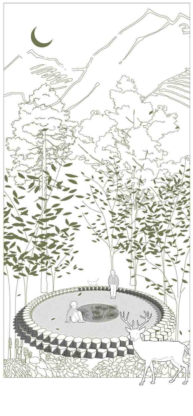
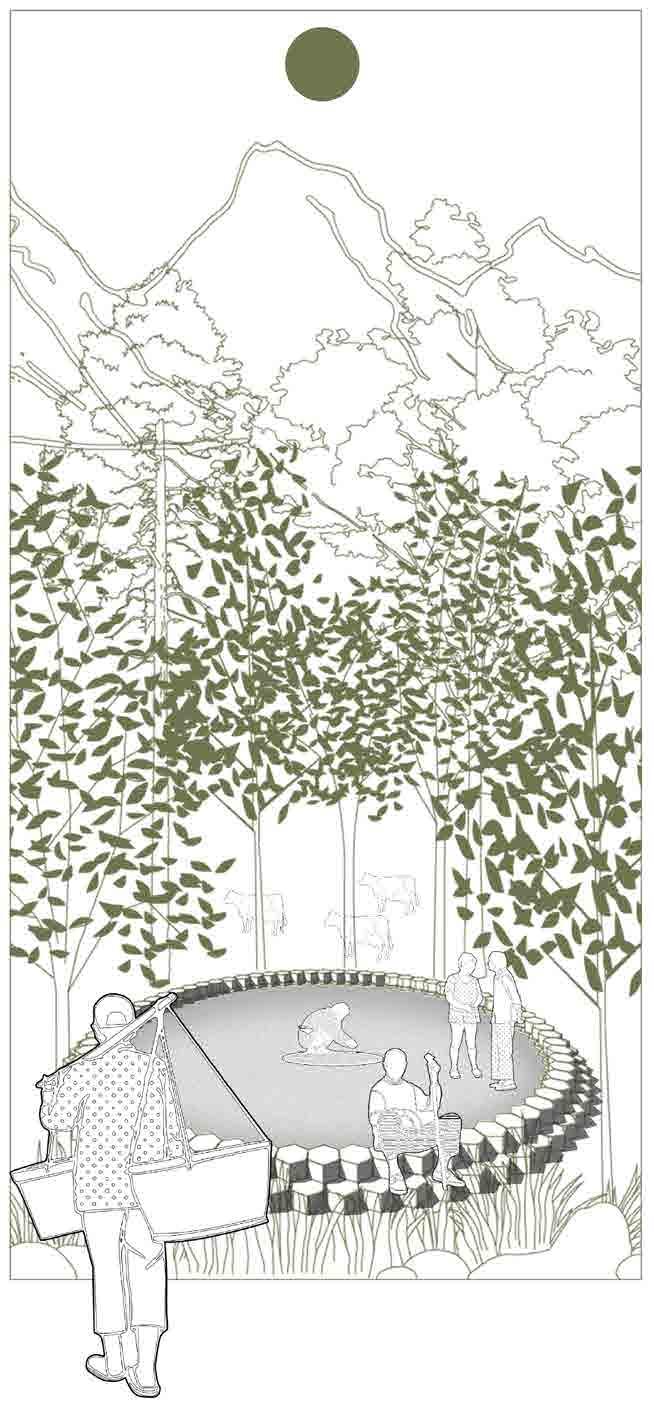
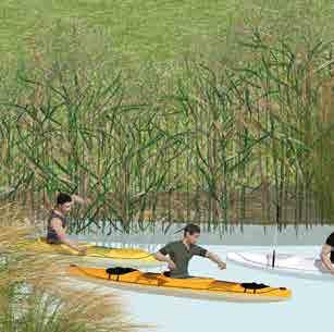
There is a shallow layer of water in the pool in the morning. Animals can come and drink and children can play.
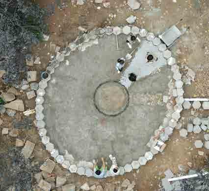
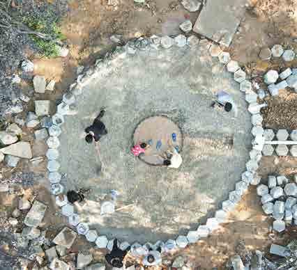
pool dries up at noon. The villagers come here for a meeting.
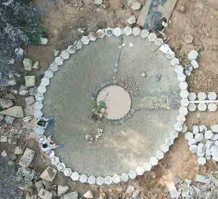
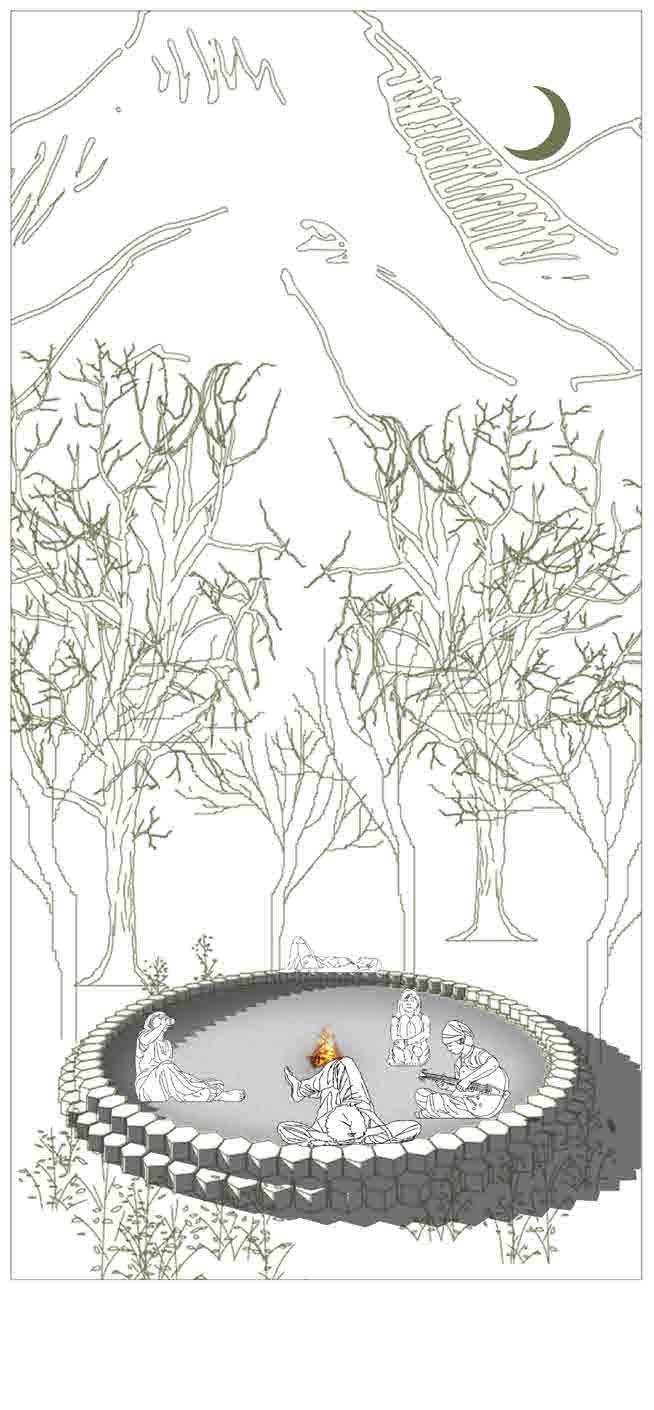
leaves have fallen in late autumn, and the students come to the pool at night to look at the stars

07
The A circular plot reserved for rainwater sinking in the middle is enclosed by Mountain natural material large bluestone Construction waste Hexagonal stone Mountain natural material large redstone Purple-leaf plum Scene 1 Scene 2 The Scene 3 The

Rainwater filtration and display

The end of the water system:"water flows downhill"
02

Tonghui River Landscape and Urban design

Course: The Graduation Design of Architecture Profession

Academic course|Beijing Jiaotong University

Individual Work

Instructor

Meng Xiaoying: Professor| Beijing Jiaotong University

E-mail: xymeng@bjtu.edu.cn

Location

Beijing, China Date

2022.2-2023.5

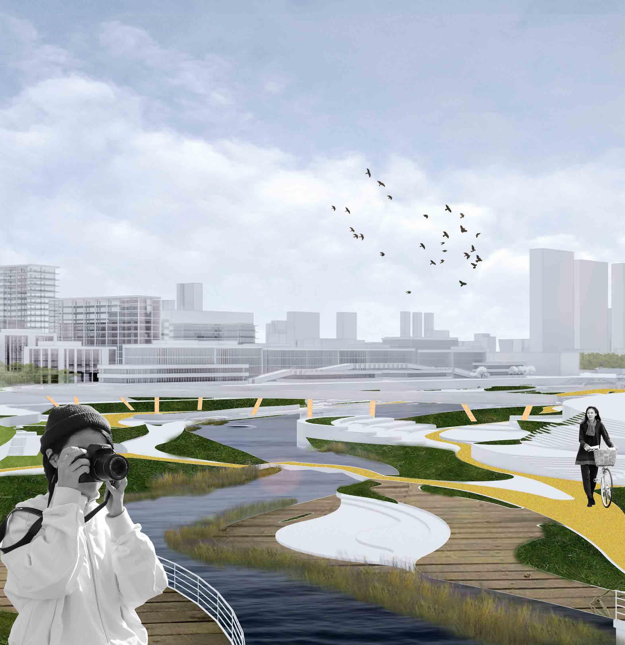
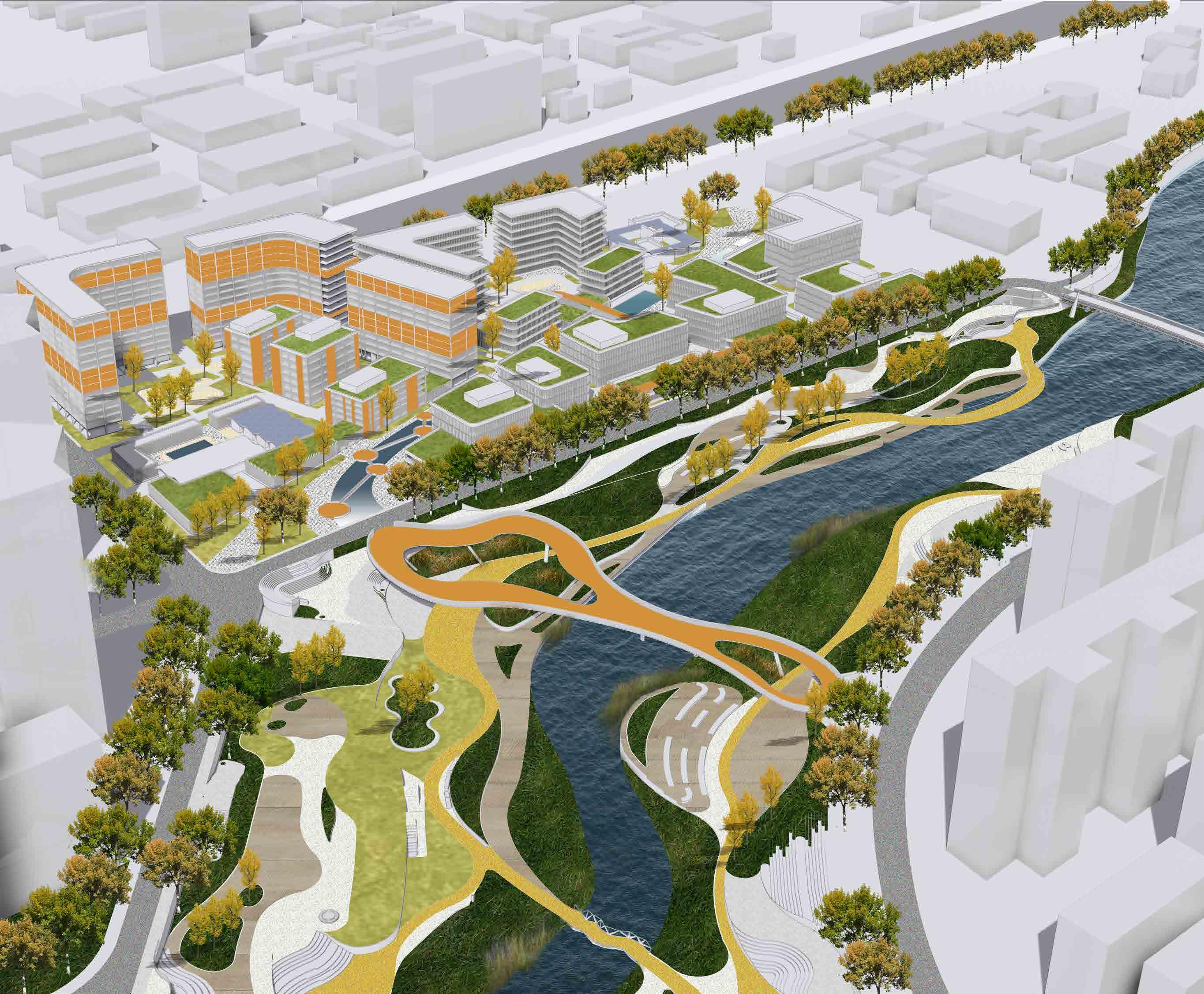
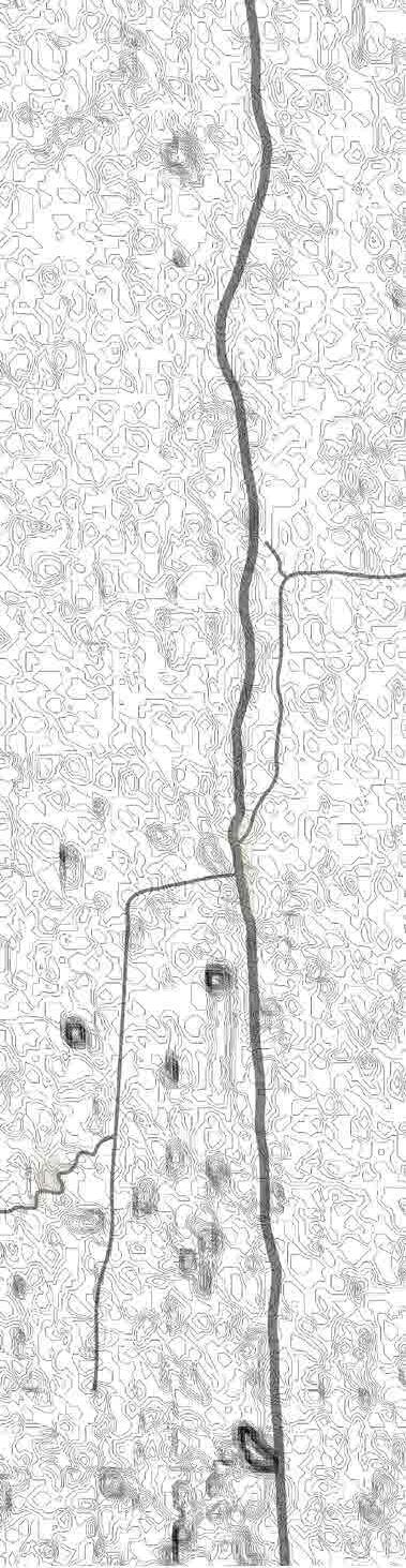
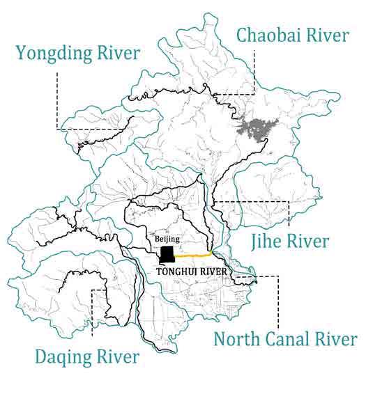
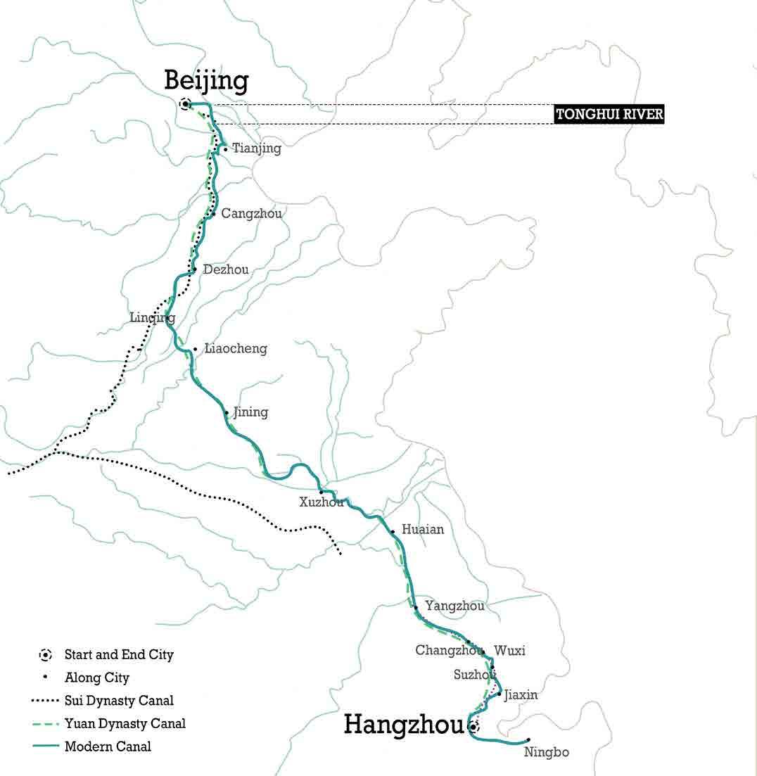
Tonghui River in Beijing is the starting point of the Beijing-Hangzhou Grand Canal in ancient China, and during the field research and investigation, I was shocked to find that Tonghui River is now in a poor state: poor water quality, no one to visit the banks, etc., and the surrounding residents' evaluation of it is "smelly ditch". In the process of in-depth analysis, I start from two aspects of historical time and space separation to understand the reasons why Tonghui River has lost its importance now.

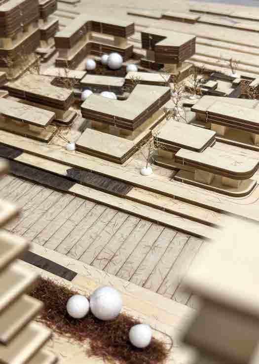
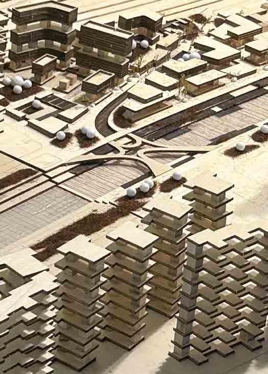
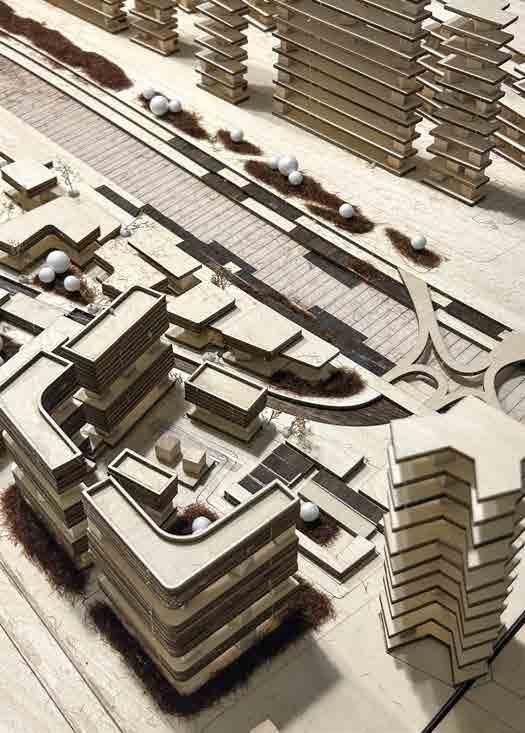
In the design, I chose a shanty town in the three rooms area of Tonghui River and the surrounding riverfront landscape as the design content, endosing the gradually forgotten culture of the Beijing-Hangzhou Grand Canal to this river and making people realize the important historical significance of Tonghui River again.
09

Spatial Isolation

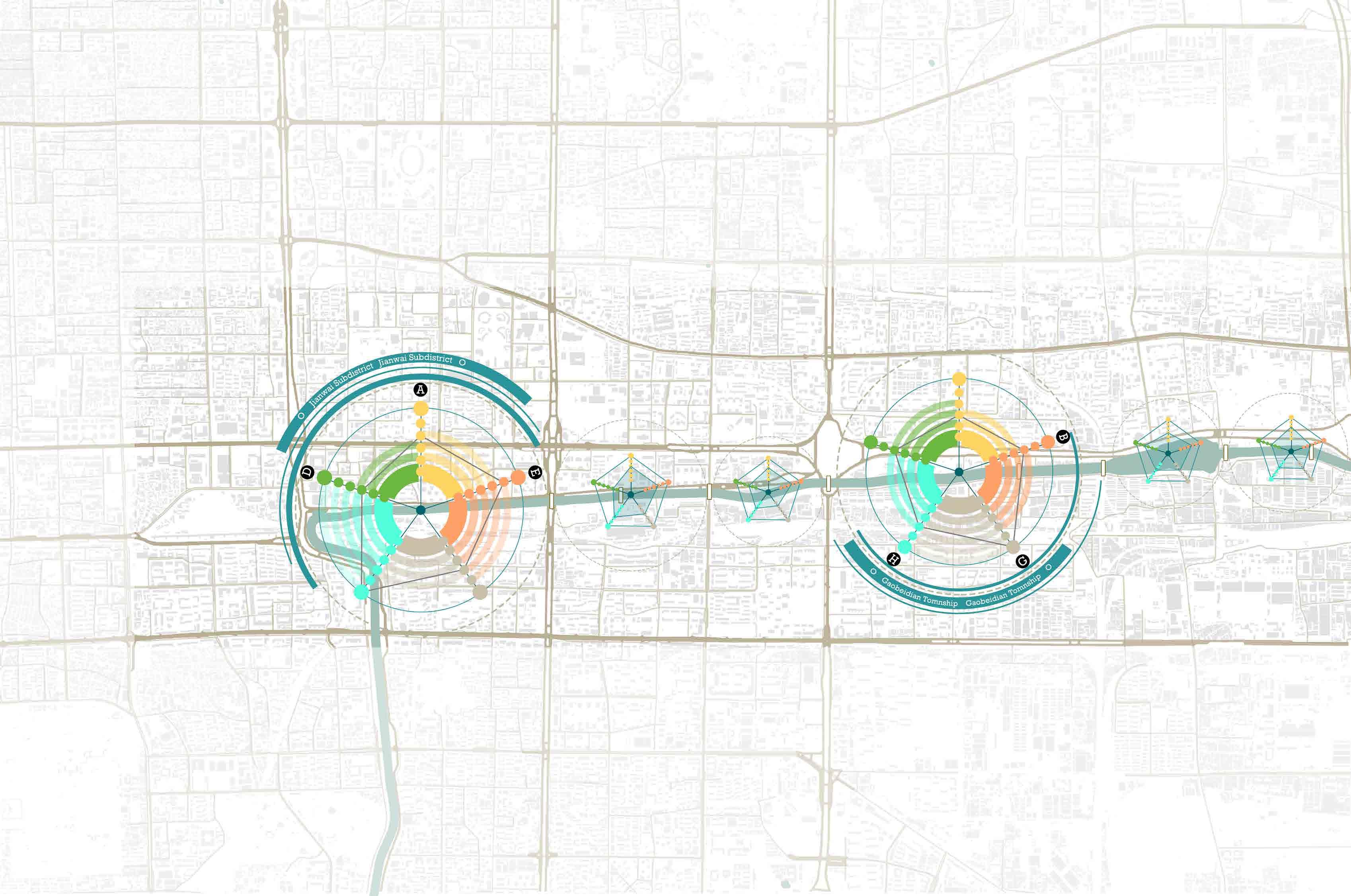
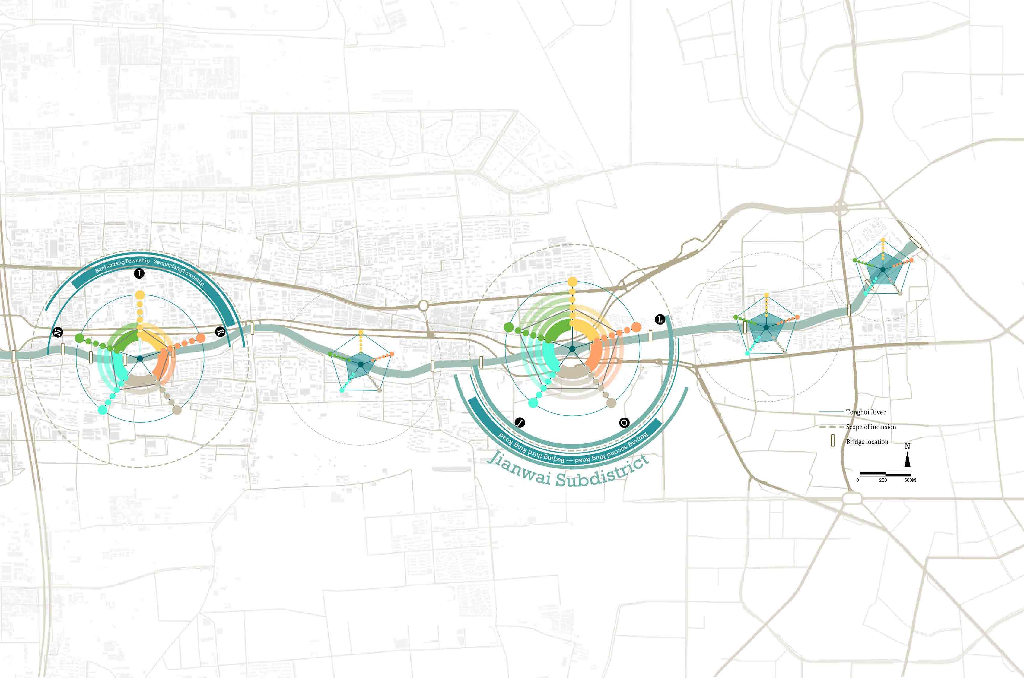
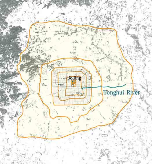
In the current spatial study of Tonghui River, Tonghui River is vertically cut into four sections by the urban development ring of Beijing. In addition to the spatial isolation of each section, other differences also cause the present situation of uneven landscape quality and complex situation of Tonghui River.

One of the main reasons is the radial development of Beijing's core. Second, the cultural name cards of each section are different, and the functional zoning of the capital city leads to the drowning of the historical and cultural value of the Tonghui River itself. Third, the different identity of the population.
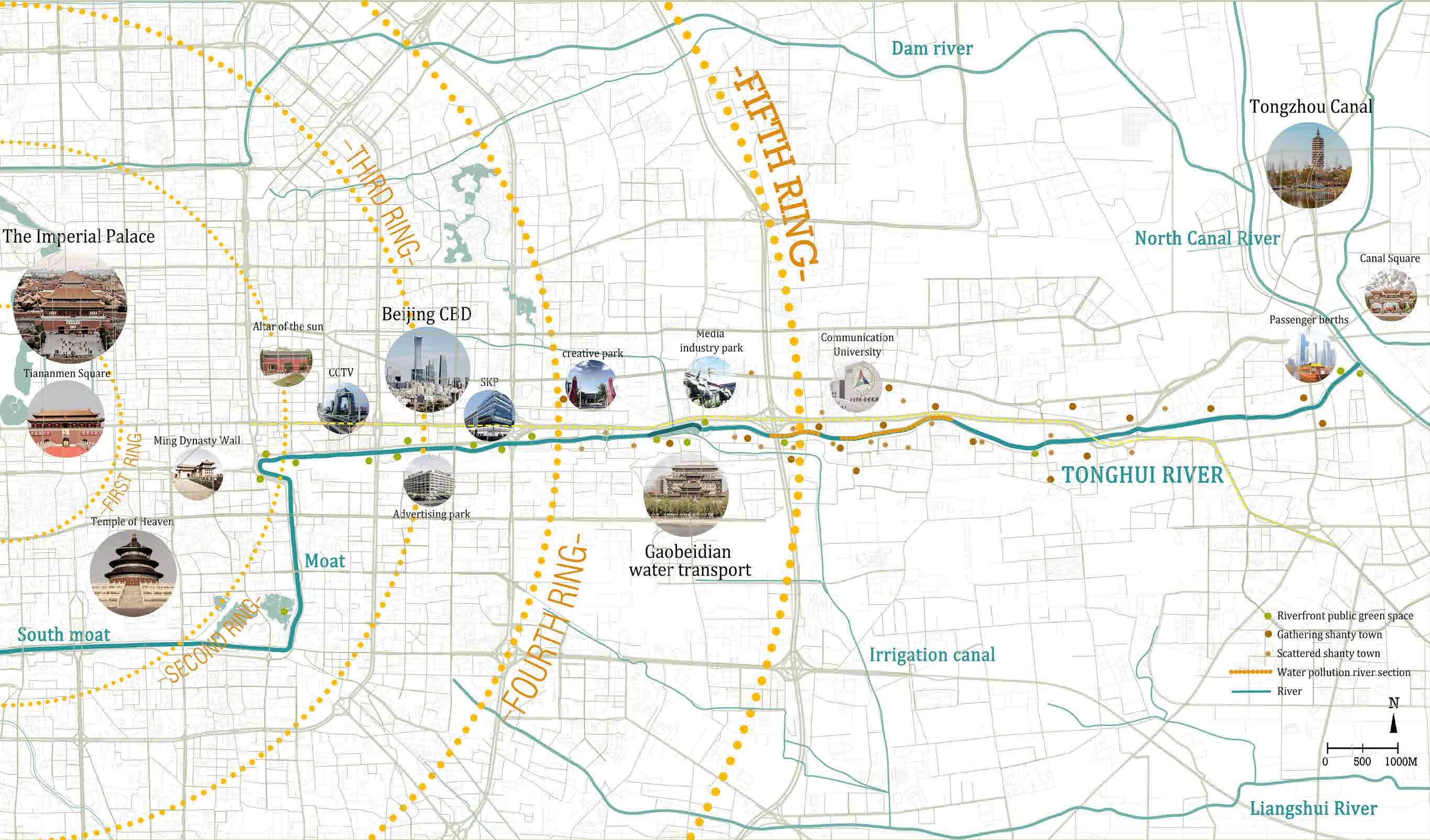

First and second ring

There are many ancient buildings in the first Ring road and the second Ring Road in Beijing, which are mainly for political functions.

Third ring

Beijing Third Ring Road is a major economic center, containing a variety of economic enterprises and companies.

Fouth ring

Beijing's Fourth Ring Road is now developing into a creative media industry, with various creative industrial parks.

Fifth ring

The western end of Beijing's Fifth Ring Road is a high-density residential area, and contains large and small shanty towns, and water pollution is serious. The east end is the beginning of the Tongzhou Canal culture, the main urban area is far away, and the canal historical and cultural sites are preserved.
10

Historical Development

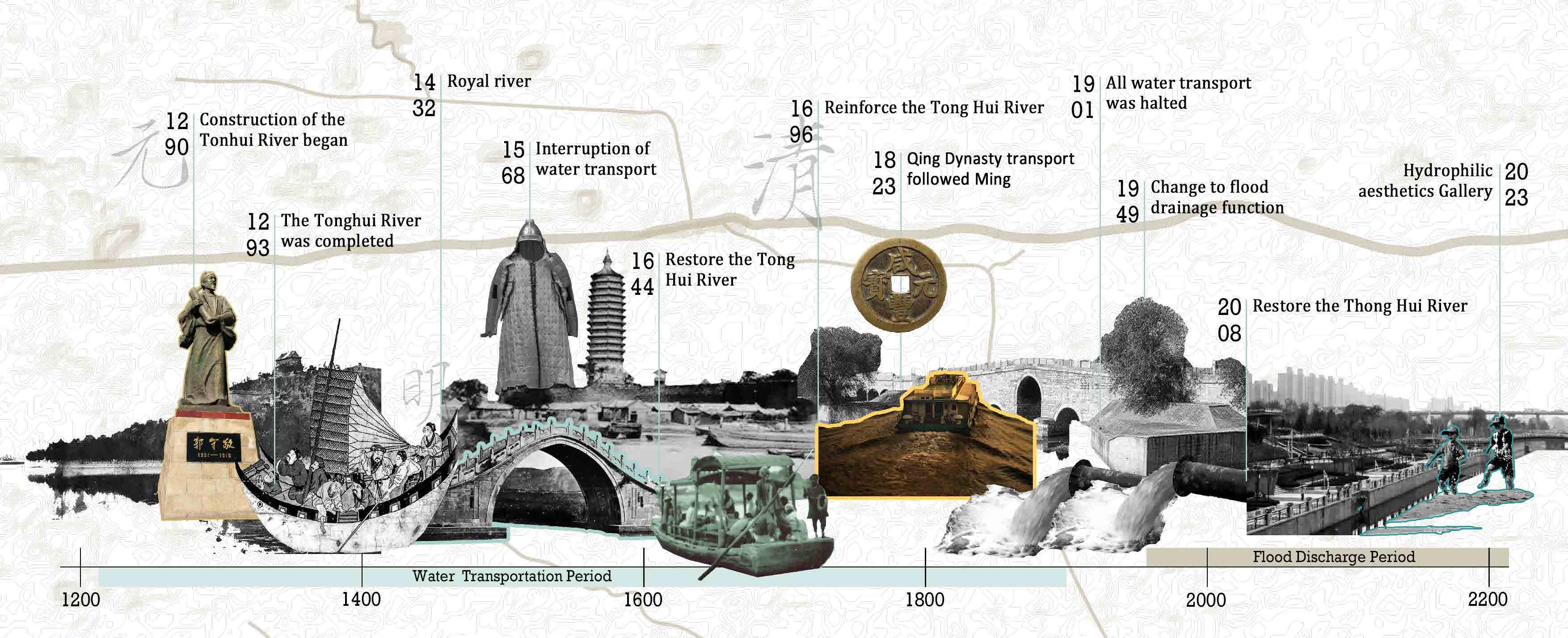
The rise and fall of Tonghui River and the change of its function are closely related to ancient Chinese history, and the development of the Chinese capital is one of the reasons that determine the importance of Tonghui River. I studied the reasons for the changes and development of Tonghui River in various periods, and found that the importance of Tonghui River development was closely related to the transportation needs of the society and the construction scope of the ruler’s city.

At the same time, the Tonghui River has been the starting river of the Beijing-Hangzhou Grand Canal since the Sui Dynasty, maintaining the trade and transportation between the north and the south of China, which has important historical significance.
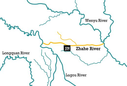
Jin Dynasty (1115-1234)

The Jin Dynasty began to move the capital into Beijing, and continued to open up water transport centered on it.
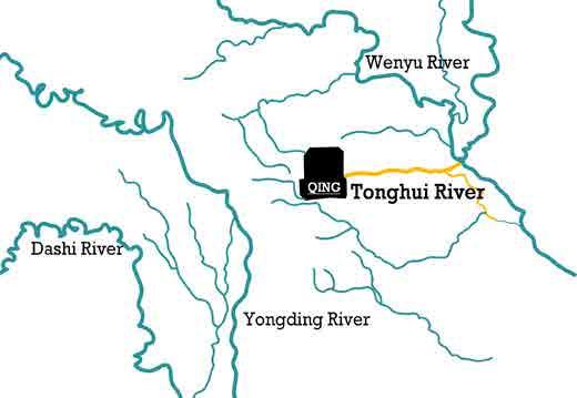
Qing Dynasty (1636-1912)

The water transport continuedIn the early, and in the later period, the Tonghui River declined because of the war.
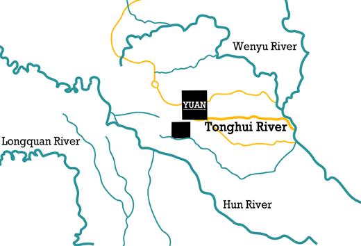
Yuan Dynasty (1271-1368)

In the Yuan Dynasty, due to the need of water transport, the state introduced water sources to excavate the Tonghui River.
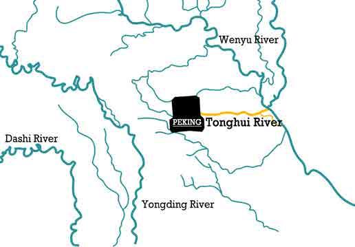
Peking (1912-1949)

In modern times, due to war and other reasons, the transport function of Tonghui River was completely abandoned.
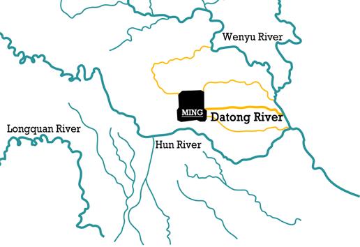
Ming Dynasty (1368-1644)

The Ming Dynasty continued to develop the water transport function of Tonghui River, and thus opened up many routes.
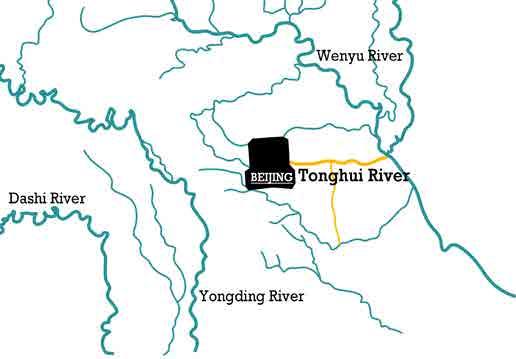
Beijing (1949-)

Up to now, the Tonghui River is still in the city of Beijing, mainly used for flood control and flood relief.
11

Tonghui River Landscape Quality Assessment

Evaluation System

Tonghui River is divided into 11 sections according to the traffic space, one or several typical riverfront models of each section are extracted, classified according to five aspects.

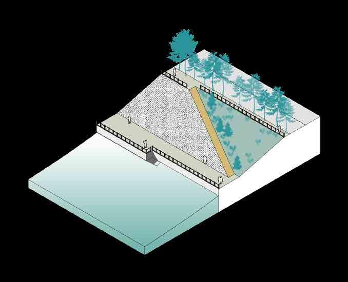
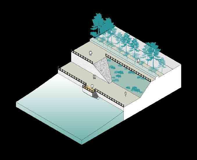
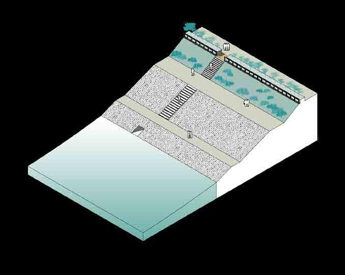
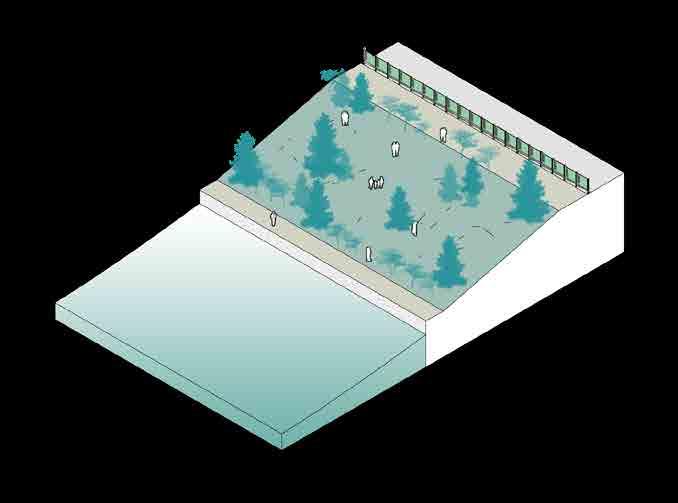
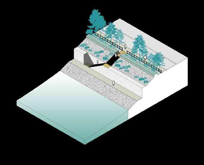
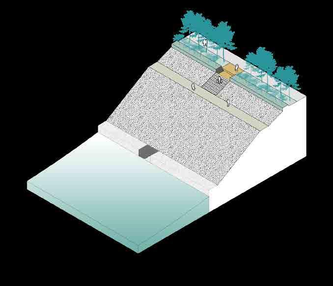
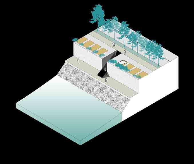
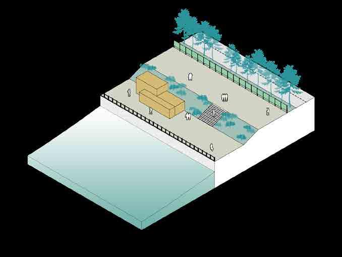
Divided into two levels of green space and hydrophilic platform

Separation of people and vehicles

Vertical transportation

Viewing platform

Safety fence

Hydrophilic space

Draining the water

Types of Bridges

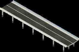
There are four kinds of Bridges in the Tonghui River, most of which are industrial Bridges with mixed traffic.
Conclusion

Each section of Tonghui River has different outstanding characteristics and landscape quality. In this assessment, it can be clearly seen that the landscape quality of the Tonghui River is gradually decreasing from west

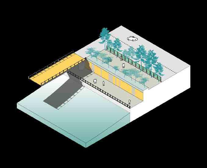
Cultural display space at the bottom of the bridge

Low security hydrophilic activity platform

The combination of afforestation and barrier-free ramp

Communication bridge

Bulletin board of culture

Draining the water

Cultural plaza

Safety fence

Safety fence

Separation of people and vehicles

Vertical transportation

Vertical transportation

Hydrophilic space

Safety fence

Draining the water

Safety fence

Vegetational cover

Vertical transportation

Safety fence

Barrier free facilities

Draining the water

Hydrophilic space

Safety fence

Safety fence

Hydrophilic space

12
C
A B
D
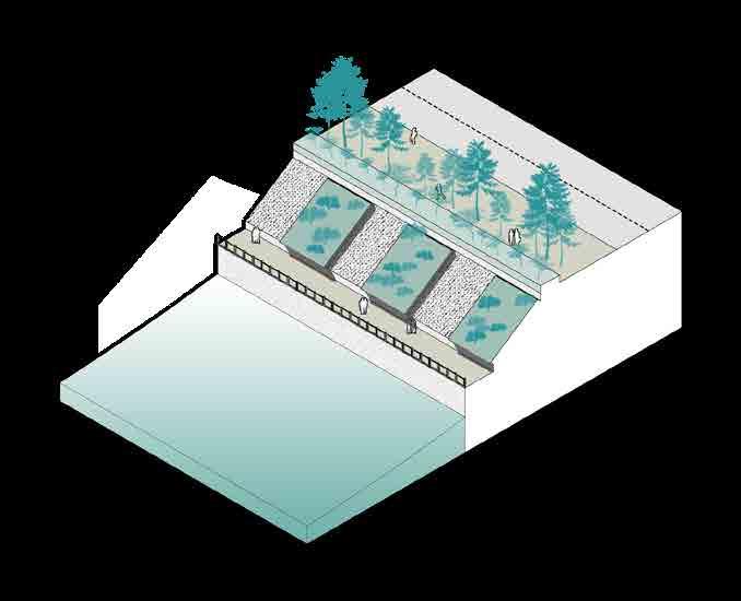
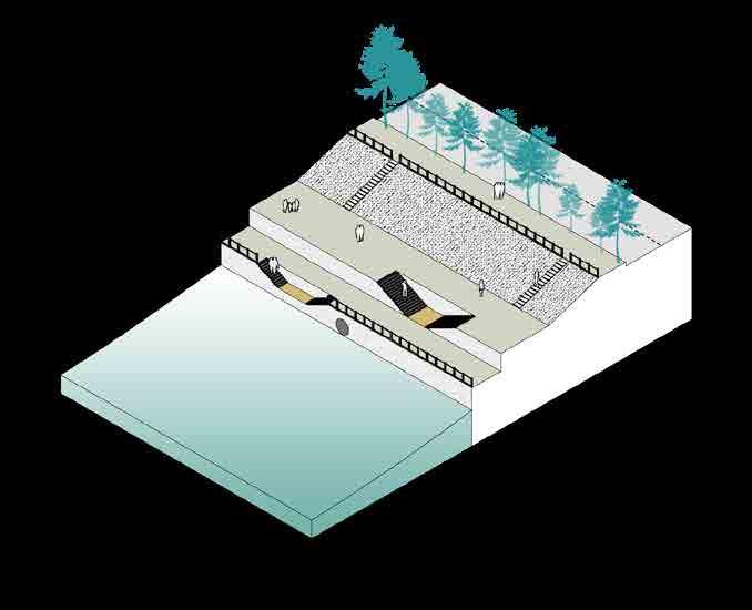
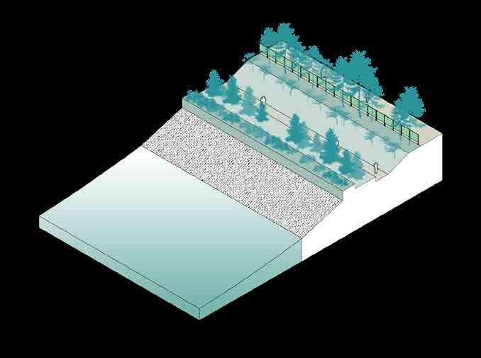
Flood retaining wall
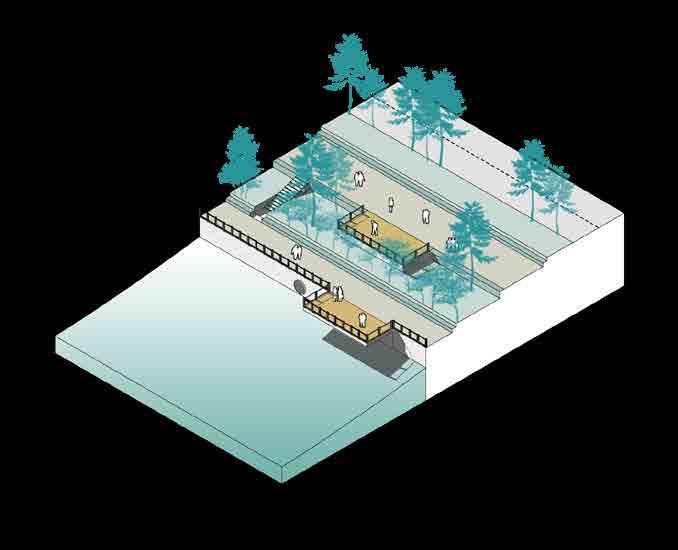
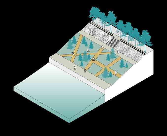
Two levels of space separated by green retaining walls
retaining wall that combines two different
with
E F G H
Model of combination of flood retaining wall and greening A
walls Combined retaining wall
hydrophilic space
Flood retaining Flood retaining wall Flood retaining wall Vegetational cover Vegetational cover Vegetational cover Vegetational cover

I J K L

The riverside sightseeing space is divided into three levels

Vertical transportation

Vertical transportation

Passenger-vehicle

Barrier free facilities

Blind tracks

Restroom

Gathering space

Solitary space

Aged friendly design

Cycling road

Viewing platform

Cultural Education

Hydrophilic space

Natural interaction

Cultural sculpture

Cultural plaza

Equity Activity Infrastructure

Cultural bulletin board

Historical building

Historical cognition

Cultural card

Communication bridge

Vertical transportation

Resting seat

Flood retaining wall

Safety fence

Kid-friendly design Parking

Ecological Environment

Water purification

Draining the water

Old trees

Vegetational cover

Plant protection

Diverse plant

13
Draining the water Draining the water Vertical transportation Up and down traffic space with turning platform The ground floor of the three-story space is not walkable Riverfront Spaces with less secure parking features Flood retaining wall Flood retaining wall Safety fence Hydrophilic space Riverfront space with restrooms and cultural displays It is mainly the riverside space of green ramp Green riverfront space with multiple accessible ramps
M N
P
Riverside space with multi-level greenery and water purification
O
Flood retaining wall Vegetational cover Vegetational cover Vegetational cover Barrier free facilities Flood retaining wall Flood retaining wall Viewing platform Cultural bulletin board Cultural bulletin board Natural interaction Water purification Cultural bulletin board Vegetational cover

Ecological

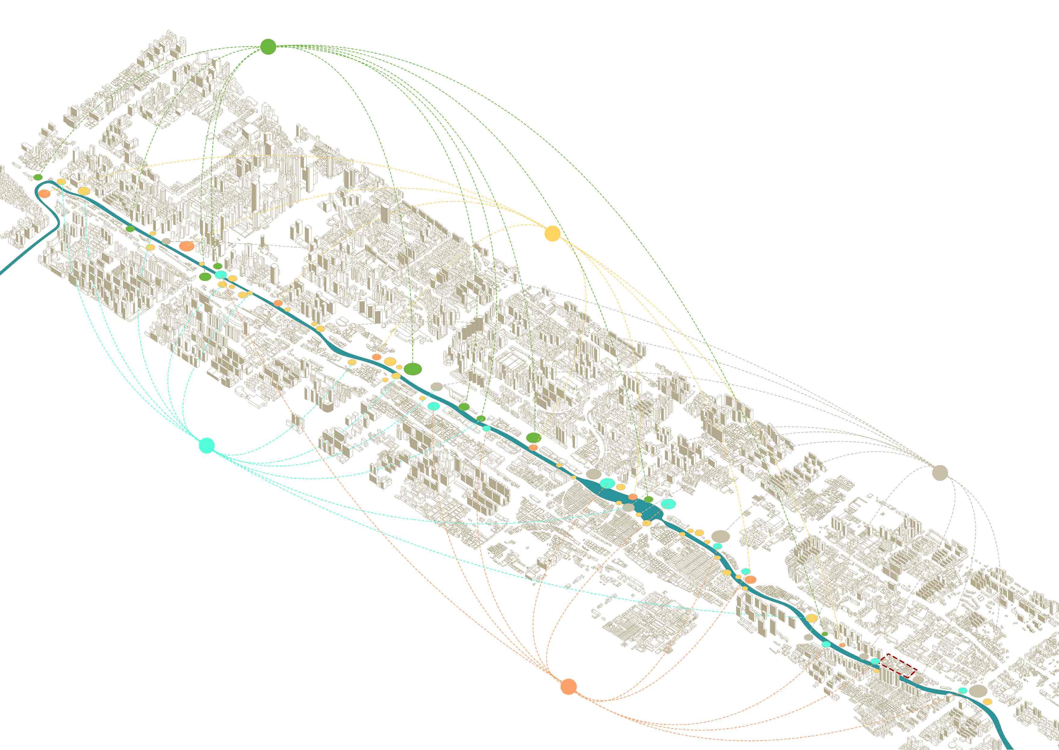
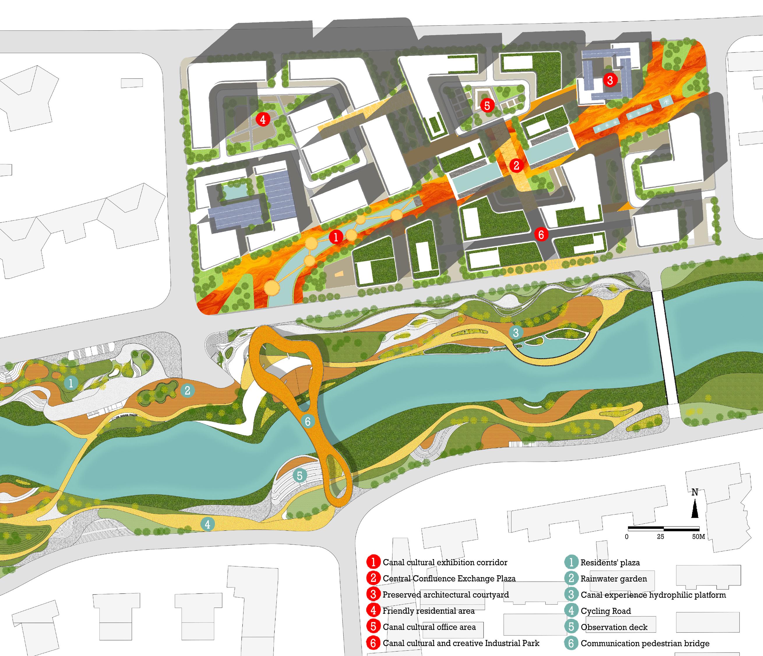
The design is implanted in each river section in the way of points to complete the riverfront landscape enhancement plan with a large difference between east and west in a specific and targeted way.identity

Rain Sponge Depression Riverside Green Island

Bio-toilet

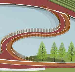
Riverfront Corridor Activity Space for the Elderly

Ecological Nest Activity Space for Children

Equity

According to the analysis of five aspects of Tonghui River, specific measures to improve the landscape quality are designed in view of the low quality of riverfront space at each end of the river. the different identity of the population.

Cultural Education

Environment Infrastructure Activity
Canal culture exhibition Vertical Transportation Cycling Road Kayaking Water Seat Water Square Water Trail Canal culture experience

Site-plan

Economic and Technical Index

Construction land area: 84,519m

Construction area: 23,776m

Total construction area: 100,615

Building density :0.28

Building plot ratio :1.19

Green space rate: 27%(excluding roof greening) 68%(including roof greening)

15

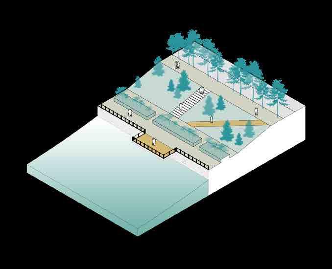
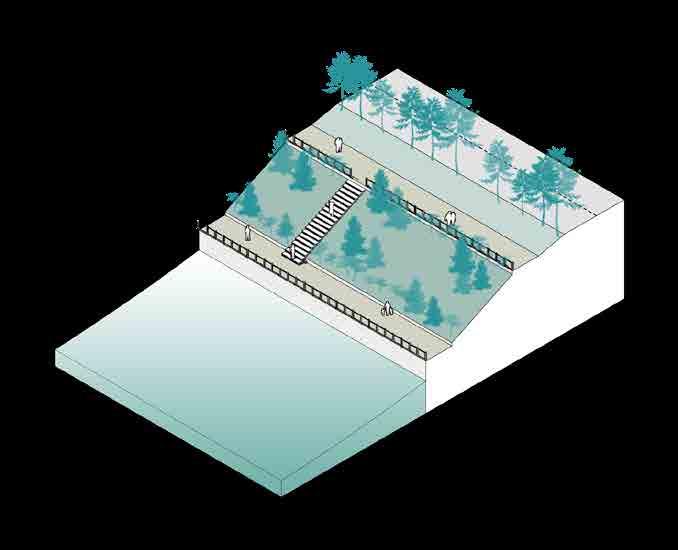
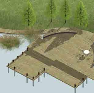
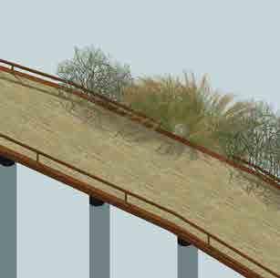
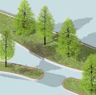
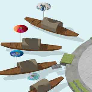
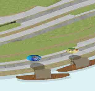
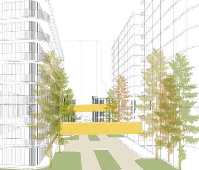
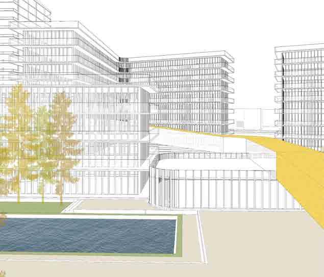
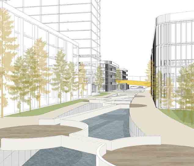
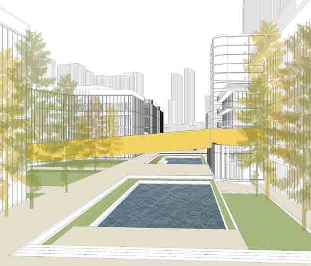
The original river surface is widened, and the surrounding green belt is added to the riverside landscape. The north and south banks are interrelated and facing each other, and are connected by a pedestrian bridge to form an integrated residents’ leisure center. The ramps planted with greenery along the riverbank slowly sink into the water to filter the surrounding urban sewage. It flows into the Tonghui River and improves the quality of the surrounding ecological environment.

16

03

Floating Community Center

Course: Building Materials and Construction

Academic course|Beijing Jiaotong University

Team Work

Collaborators: Wu Xinyu, Wen Lingjie

Instructor

Li Junjie: Associate Professor|Beijing Jiaotong University

E-mail: lijunjie@bjtu.edu.cn

Location

Ginko Village, Anhui Province, China

Date

2021.2-2021.6

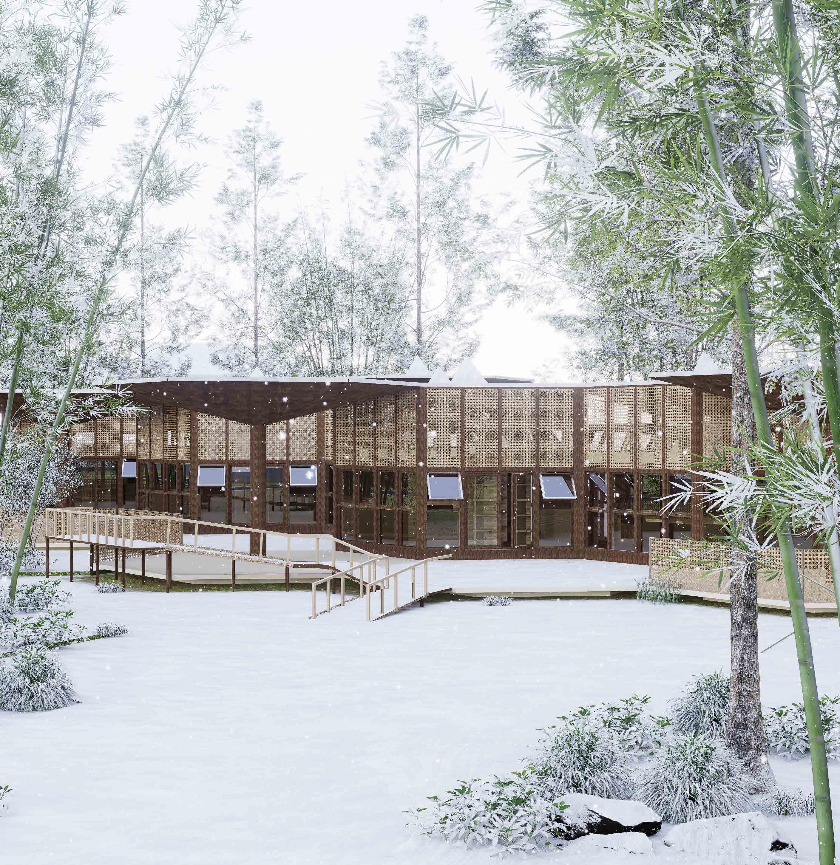
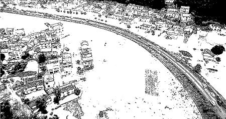
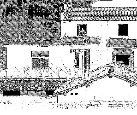
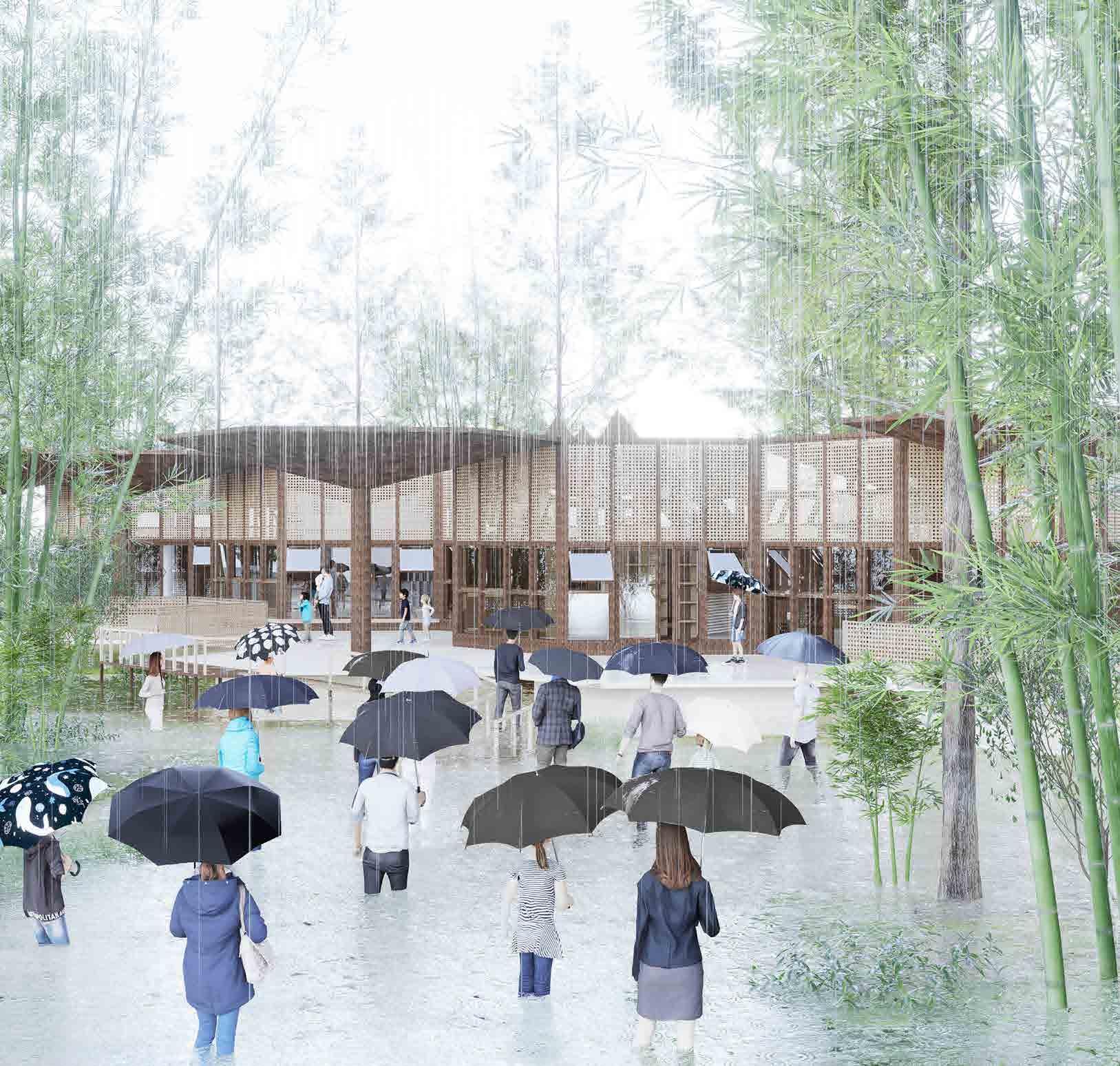
Ginko Village suffered a catastrophic flood disaster in 2021 with huge losses. After learning about this, we hope to provide a more effective and possible rescue method for the local community. Climate and architecture are the focus of this design. There is no strong wind in the local area throughout the year, which is conducive to the fixation of floating buildings. After designing floating monomers and combinations in detail, I used simulation software to test the performance of the building, and conformed the scenarios of different use modes of the building in peacetime and flood times.

17

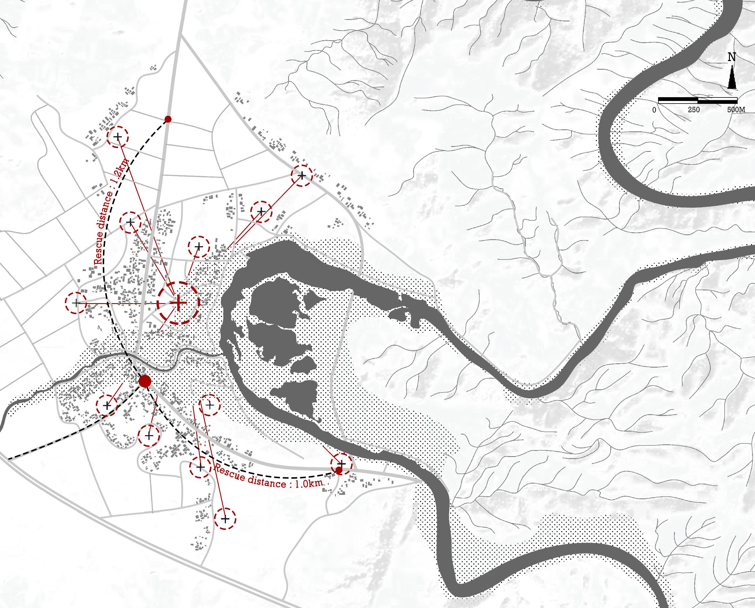
Rescue time 3DAYS

Number of rescue households 417

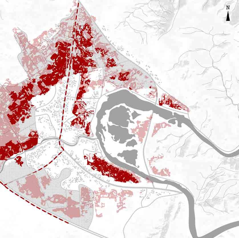
Area of influence 97.6ha

Complete flooding Complete flooding

Complete flooding

Complete flooding

Complete flooding

Complete flooding

Complete flooding

Complete flooding

Complete flooding

Partial flooding

Farmland damage Rescue route

Inundated farmland is one of the main hazards of the flood, and the large number of inundated farmland leads to economic losses and the blockage of relief transportation.

Dispersion point

Centrostigma

Field range Slow flooding

Moderate flooding

Rapid flooding

The development of new and effective relief methods will help to reduce all losses

18 18
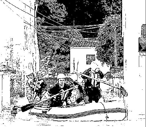
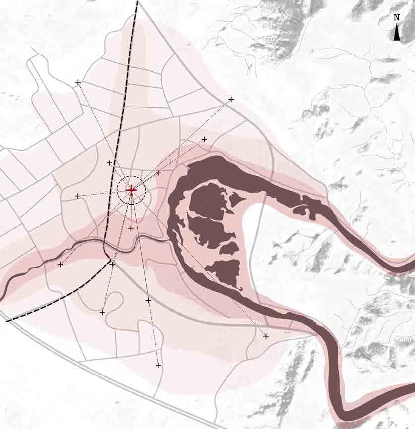
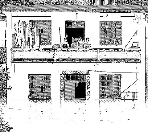
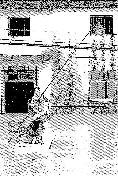
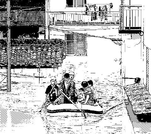
All but the only road in the village was flooded. Rescue teams had to search for scattered villagers again and again. The first floor was flooded and the villagers were waiting for help on the second floor. The villagers who were rescued lacked a central place to settle. Ginkgo Village

Climate

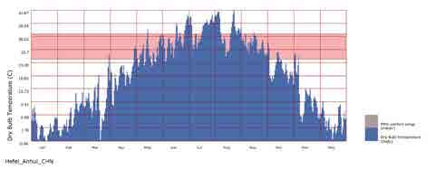
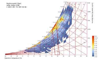
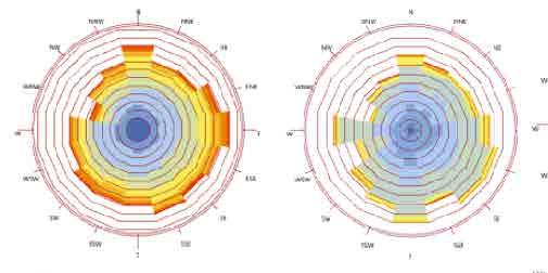
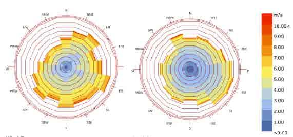
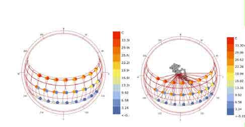
Northeasterly winds dominate the year, with no extreme winds. The temperature varies greatly throughout the year, with four distinct seasons and high humidity.

Months that basically reach the thermal comfort temperature under natural ventilation: May, June, August, September.The solar radiation is not strong, and the design needs to consider making up for the lighting.

Monomer

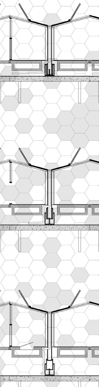
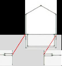
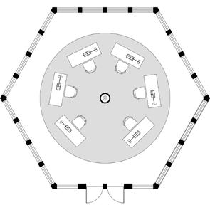
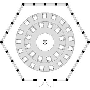
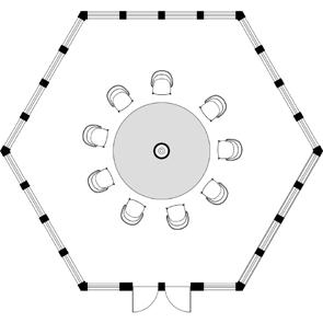
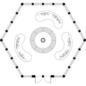
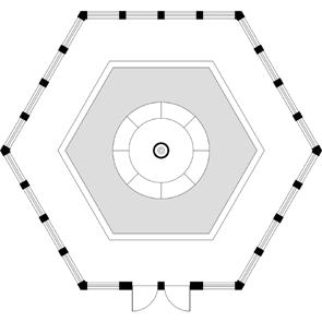
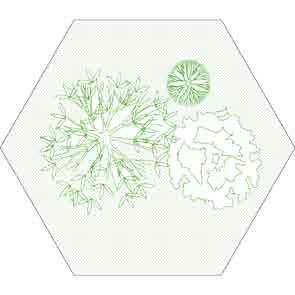
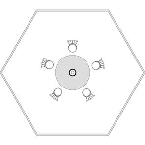
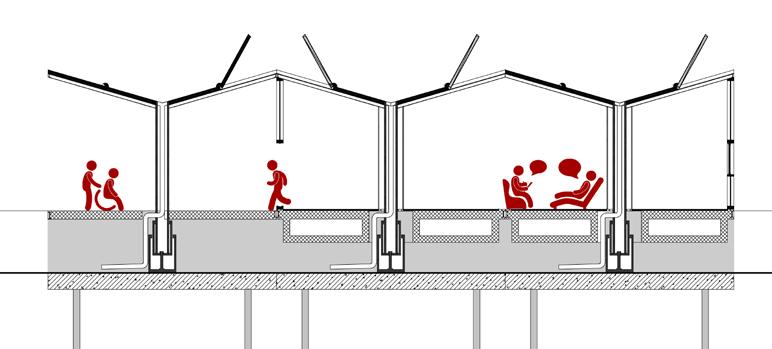
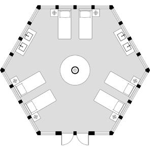
It mainly solves the problems of ventilation and moisture drainage, waterproof, heat preservation and heat insulation. Monomer form: equilateral hexagon - convenient combination, side length 5m.

Hypothesis

When a flood strikes, the water pressure causes the house to rise, and the floating body is connected to the foundation by a lifting device.

Flood Emergency treatment medical area

Flood

Casualty and rest area

Community

Meeting discussion area

Flood

Temporary gathering area

Community

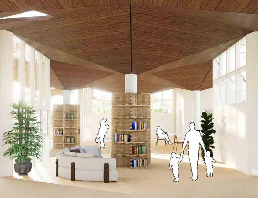
Reading sofa area

Community

Shared activity area

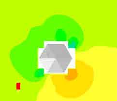
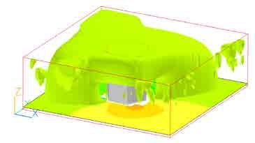
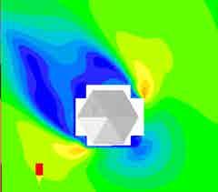
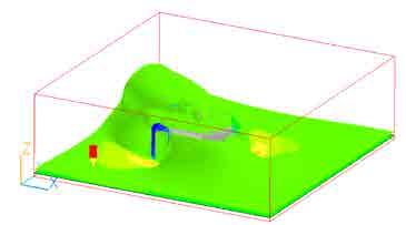
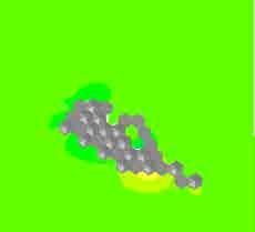
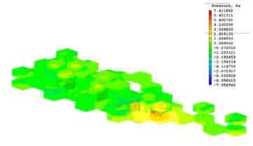
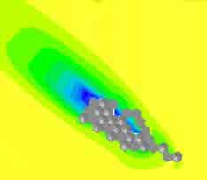
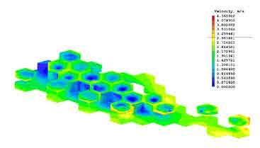
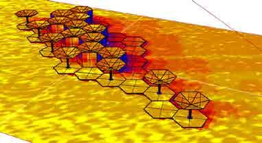
Wind environment simulation

The simulation results show that the wind has little influence on the external environment of the hexagonal cell, and the wind speed and pressure on the lee side drop sharply

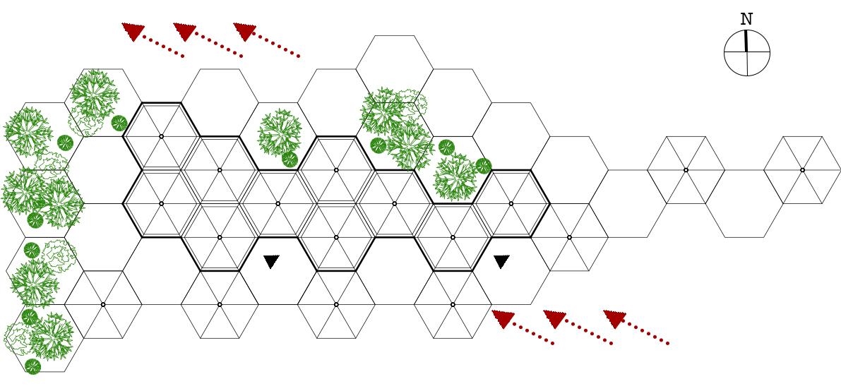
Group

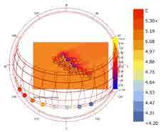
The functional arrangement is considered from three aspects: ventilation, warmth and sunshade.

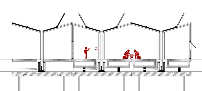
Hot pressure ventilation:Cold air enters from the southeast, and indoor hot air exits from the northwest high Windows and skylights.

Shade: southeast umbrella pavilion, high side glass set bamboo braid exterior shade

Warm: wind protection forest, solid wall system

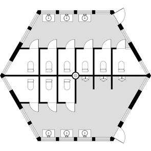
Restroom

Eco-friendly toilets

Green Island

Watertolerant plants

Lifting Pipe

Umbrella Pavilion outdoor recreation

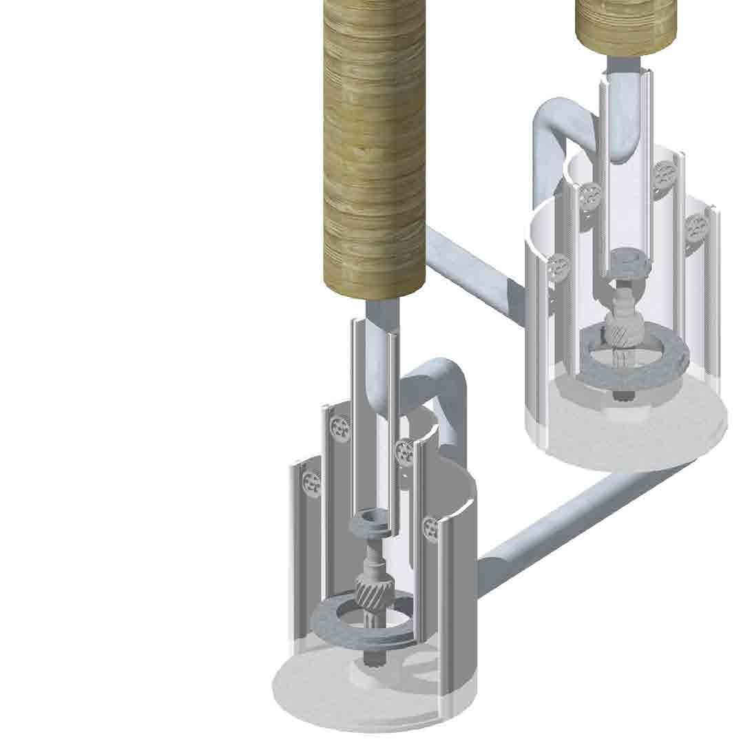
Retractable steel guide posts - limit house displacement due to water.

In the event of a flood, the chassis of the house acts as a raft, guided by steel guide posts held to the ground by concrete pile caps, each of which has three piles deep into the ground.

The house can rise vertically in the direction of the guide post and float up to a distance of three metres above the ground.

19
1 Embedded lifting pipe, determine the base position. 2 Erection of supporting steel frames. 3 Lay roof and floor. 4 Install prefabricated doors and windows.

Community

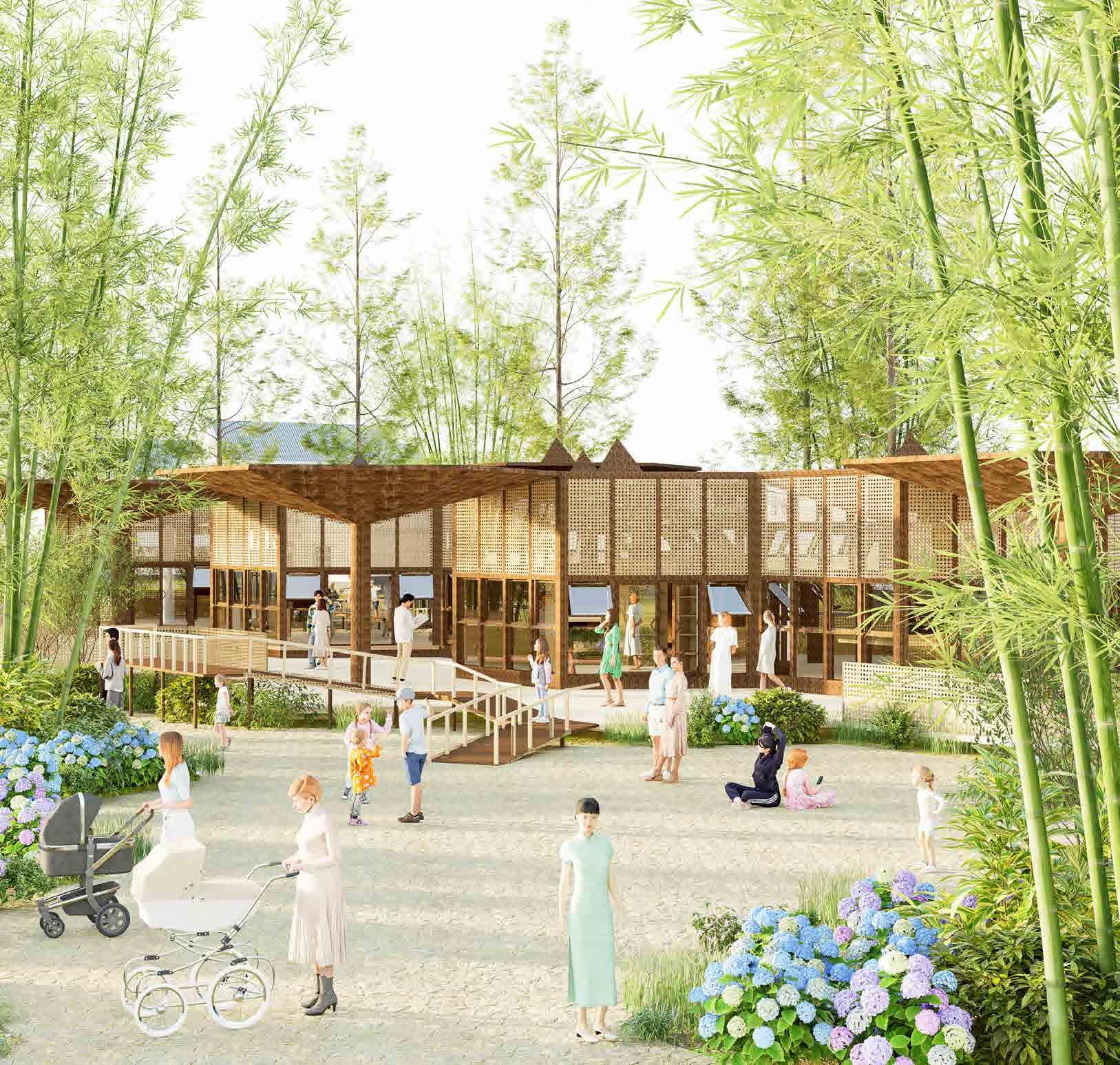
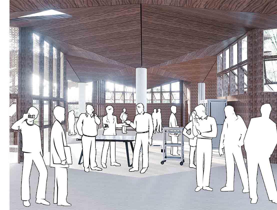
In peacetime, the building provides a leisure gathering space for the villagers, and the diversified entertainment facilities contained inside can provide a gathering place for the elderly, children, young and middle-aged people.

Flood

During storm floods, the building provides a temporary gathering place for villagers to avoid inundation, facilitates and reduces rescue time, and provides emergency medical treatment for the injured.

20

Turn static files into dynamic content formats.

Create a flipbook