TAKE 5
(8 feet), if you include the tail. This herbivore would still have been a force to be reckoned with for the maintenance crew. Admired by Jacque Cartier in 1654 when he sailed down the St. Lawrence River, our beaver population was estimated to be over six million in Canada. But because every European man soon needed a beaver-felt hat – an obsession that lasted until the mid-19th century – our beavers almost became extinct like their huge distant cousin. Fortunately, beavers made a comeback and hold a place of reverence by many environmental engineers for their expertise and ability to restore wetlands destroyed by human activity. Today, engineers speak of “Beaver Dam Analogues” (BDAs) that are mimicked by environmental consulting companies where the beaver’s “natural dam building expertise is leveraged to enhance ecosystem function” so as to “help retain stream systems.” This is called Beaver Based Restoration (BBR) and is part of the overall Low-Tech ProcessBased Restoration (LTPBR) approaches used in many restoration projects. One wonders if beavers could sue on the grounds of patent infringement or intellectual property theft, or do they just gnash their teeth and get on with life? The other side of the coin – the one emblazoned with King Charles III since 2023 – represents the regional district’s position. A permanent wetland was never part of Yellow Point Park since the land was obtained by the Ministry of Forest in the 1972. Having the water stay year-round means that the seasonal crossing on the park’s western end can never be used. A recent survey done at the park asked users what improvements they wanted to see, and many asked whether the seasonal crossing could become permanent so the larger, circular path could be accessed any time of year. With the beaver dam there, access to the seasonal crossing isn’t an option – ever. So, how do we solve the problem? Should we flip a coin? Heads or tails – what do you say? Let us know by contacting YES or by calling me directly at 250-245-9155. Interested in other ecological matters around town? Consider becoming a member.
take5.ca
Ruxton Island - a community rooted in nature BY GABRIELLE LEE Off the northeast coast of Ladysmith sits a picturesque, placid island. Only 2.5 kilometres in length and a fifth of that in width, it’s easy for the islet to go unnoticed when glancing at a map or passing by. After all, few mammals inhabit it, all trails are unpaved and, for decades, it’s remained private, tranquil and decidedly difficult to get to. The origins of Ruxton Island, much like the isle itself, are cloaked in intrigue and mystery. In the late 1920s, Ruxton and DeCourcy Island were purchased by Mary Connolly, a wealthy member of a nascent occult movement known as the Aquarian Foundation. Connolly went on to donate the land to the Foundation, and so it came to be under the
41
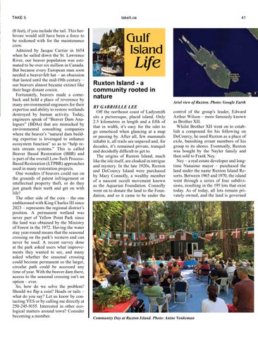
Ariel view of Ruxton. Photo: Google Earth
control of the group’s leader, Edward Arthur Wilson – more famously known as Brother XII. Whilst Brother XII went on to establish a compound for his following on DeCourcy, he used Ruxton as a place of exile, banishing errant members of his group to its shores. Eventually, Ruxton was bought by the Nayler family and then sold to Frank Ney. Ney – a real estate developer and longtime Nanaimo mayor – purchased the land under the name Ruxton Island Resorts. Between 1965 and 1970, the island went through a series of four subdivisions, resulting in the 195 lots that exist today. As of today, all lots remain privately owned, and the land is governed
Community Day at Ruxton Island. Photo: Anine Vonkeman