502: Fragments of a Diversion Infrastructure: The Bayou Lafourche Diversion PROFESSOR
Guy Nordenson S P R I N G 2015
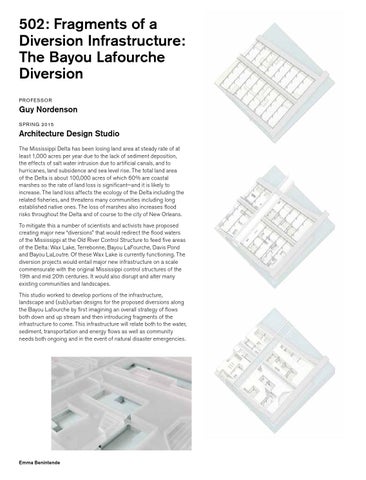
Architecture Design Studio The Mississippi Delta has been losing land area at steady rate of at least 1,000 acres per year due to the lack of sediment deposition, the effects of salt water intrusion due to artificial canals, and to hurricanes, land subsidence and sea level rise. The total land area of the Delta is about 100,000 acres of which 60% are coastal marshes so the rate of land loss is significant—and it is likely to increase. The land loss affects the ecology of the Delta including the related fisheries, and threatens many communities including long established native ones. The loss of marshes also increases flood risks throughout the Delta and of course to the city of New Orleans. To mitigate this a number of scientists and activists have proposed creating major new “diversions” that would redirect the flood waters of the Mississippi at the Old River Control Structure to feed five areas of the Delta: Wax Lake, Terrebonne, Bayou LaFourche, Davis Pond and Bayou LaLoutre. Of these Wax Lake is currently functioning. The diversion projects would entail major new infrastructure on a scale commensurate with the original Mississippi control structures of the 19th and mid 20th centuries. It would also disrupt and alter many existing communities and landscapes. This studio worked to develop portions of the infrastructure, landscape and (sub)urban designs for the proposed diversions along the Bayou Lafourche by first imagining an overall strategy of flows both down and up stream and then introducing fragments of the infrastructure to come. This infrastructure will relate both to the water, sediment, transportation and energy flows as well as community needs both ongoing and in the event of natural disaster emergencies.
Emma Benintende