
SUMMER/2023 DESTINATION SOOKE SPECIAL BAKERIES ON SOUTH VANCOUVER ISLAND BCMAG.CA ALASKA HIGHWAY TAKING THE HIGH ROAD PM 40069119 DISPLAY UNTIL SEPT 12, 2023 $8.95 PASS ROGERS
SIDES OF THE MANY


Mother nature’s stage. Sun Peaks. Where you belong. Enjoy free music all summer long from Canadian performers Delhi 2 Dublin, Current Swell, Shred Kelly & many more! www.sunpeaksresort.com/music PRESENTED BY:
Following the Nicola River from Merritt to These less travelled natural sanctuaries are

Saving
BC MAG • 3
a
48 30 40 54
BC One Hectare at
Time conservation in BC, and things are looking
The Ever-Changing Road
NOTHING MAKES YOU feel the passage of time like seeing other people’s children. Those with kids may not notice them getting bigger and maturing when they are around them every day, but you sure notice the changes in other children when you see them once or twice a year.
I think the same applies to the communities right under our noses. Old shops close down, new ones open up, old buildings get demolished and new developments take their place. You notice each individual event while it’s happening but it’s hard to feel the full impact of these changes over time in your own community. And just like it is with kids, the changes you notice when you take a familiar road trip can be striking.
This phenomenon is something that makes road trips special. Sure, you can always fly somewhere new and get new experiences, but there’s something comforting about driving to a familiar spot and visiting that same restaurant or coffee shop you enjoyed last time, and noticing when something has changed. Part of the appeal, I think, is how it gives you a little taste of what it’s like being a local in a community that’s not your own. There’s something fun and worldly in recommending your favourite coffee shop in some far-off destination, and you feel like a real insider when you can remember how things were in “the old days.”
One of our goals with each issue of British Columbia Magazine is to bring this familiarity of place to all our readers, whether you live in the province or visited it long ago. It is satisfying to hear a reader enjoying or reminiscing
about one of the attractions, destinations or businesses they read about in these pages. We feel we’ve done our job if you can visit a place mentioned in a story and feel like it’s familiar, even if it’s the first time you’ve been there. It’s happened to me many times over the years. Most recently, during my visit to the town of Gold Bridge that I mentioned last issue.
This issue, however, has taken a bit of a different angle on this theme. Instead of focussing on destinations, we’ve got several stories focussing on the places between the destinations—highways.
These features each tell about the history and the highlights of these storied roadways, starting with the remote Alaska Highway on page 30, the famous Rogers Pass on page 40 and the troubled Highway 8 on page 54. Learn how these highways connect communities for both business and pleasure, how they are intertwined with the history and development of our province, and how they too have changed over the years.
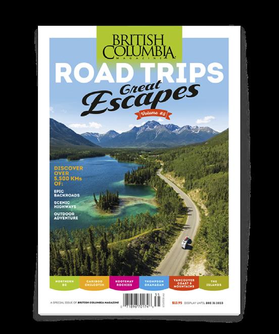
For a more traditional take on road trips, our latest edition of the annual Road Trips Guide: Volume 5 is available on newsstands now or available online at bcmag.ca/roadguide. This guide takes a region-by-region look at all the amazing hot spots, getaways and attractions our province has to offer, from the old to the new, and hopefully with something for every reader.
Summertime is the best time to hit the road in search of something familiar, something new and hopefully something you’ll want to make familiar in the future. Happy trails
—Dale Miller
EDITOR
Dale Miller editor@bcmag.ca
ART DIRECTOR Arran Yates
ASSOCIATE EDITOR Sam Burkhart

GENERAL ADVERTISING INQUIRIES 604-428-0259
ACCOUNT MANAGER Tyrone Stelzenmuller 604-620-0031
ACCOUNT MANAGER (VAN. ISLE) Kathy Moore 250-748-6416
ACCOUNT MANAGER Meena Mann 604-559-9052
ACCOUNT MANAGER Katherine Kjaer 250-592-5331
PUBLISHER / PRESIDENT Mark Yelic MARKETING MANAGER Desiree Miller GROUP CONTROLLER Anthea Williams
ACCOUNTING Angie Danis, Elizabeth Williams
DIRECTOR - CONSUMER MARKETING Craig Sweetman CIRCULATION & CUSTOMER SERVICE
Roxanne Davies, Lauren McCabe, Marissa Miller
SUBSCRIPTION HOTLINE 1-800-663-7611
SUBSCRIBER ENQUIRIES: cs@bcmag.ca
SUBSCRIPTION RATES
FREE with your subscription: the British Columbia Magazine wall calendar. 13 months of glorious landscape and wildlife photography.
1 year (four issues): $19.95 / 2 years: $34.95 / 3 years: $46.95
Add $6 for Canadian, $10 for U.S., or $12 for International subscriptions per year for P&H.
Newsstand single-issue cover price: $8.95 plus tax.
Send Name & Address Along With Payment To: British Columbia Magazine, 802-1166 Alberni St. Vancouver, BC, V6E 3Z3 Canada
British Columbia Magazine is published four times per year: Spring (March), Summer (June), Fall (September), Winter (December)

Contents copyright 2023 by British Columbia Magazine. All rights reserved.
Reproduction of any article, photograph or artwork without written permission is strictly forbidden. The publisher can assume no responsibility for unsolicited material.
ISSN 1709-4623

802-1166 Alberni Street Vancouver, BC, Canada V6E 3Z3
PRINTED IN CANADA
4 • BC MAG
SUMMER
Canadian Publications Mail Product Sales Agreement No. 40069119. Return undeliverable Canadian addresses to Circulation Dept., 802-1166 Alberni Street, Vancouver, BC, Canada V6E 3Z3. Tel: (604) 428-0259 Fax: (604) 620-0245 WWW.BCMAG.CA EDITOR’S NOTE
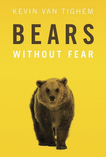
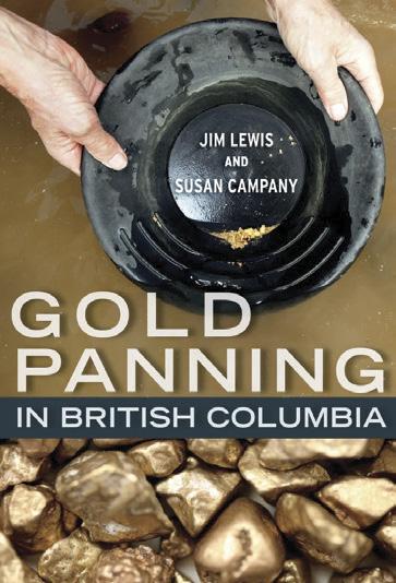
SUMMER READING VISIT OUR BOOKSTORE FOR MORE GREAT READING! SHOP.OPMEDIAGROUP.CA | 1-800-663-7611 FOR THE EXPLORER ROAD TRIPS PM 40069119 Escapes V #5 Great DISCOVER OVER 5,500 KMs OF: EPIC BACKROADS SCENIC ADVENTURE
Mailbox
Missed the Spring issue?
Buy it here.
The latest British Columbia Magazine with the editorial “Gold Fever” caught my wife and I close to home. We enjoyed the same area you describe [The Bridge River Valley] back in the 1960s driving only a VW Beetle. It was a four-wheel challenge then and we made the trip with our VW. Now 60 years later, we still enjoy the area since we loved it so much, and we bought at Gun Lake and eventually lived there. I discovered the area in ’63 as a student working for the summer at the Bralorne Mine (a gold mine). I came back a few years later, married now, to purchase a spot on the lake. Gun Lake has the clearest water in North America and is featured in the BC Lake Stewardship Society “Secchi Dip-in” results each year [an international effort to collect water clarity data from lakes,
rivers and streams all around North America]. We would love to show you gold we have panned in the area and share stories about gold mining. We raised three daughters at the lake while having a very fun life.
 Terry & Cathy Thiessen, Gun Lake, BC
We’d love to hear those stories too! The “Tales of BC” column at the back of the magazine would be a great place to share one of your Gun Lake / gold panning adventures, and we are always looking for submissions. It doesn’t have to be funny, but it helps, and it should be around 600 words showcasing some fun or insightful look at living or visiting British Columbia. Looking forward to it. —Eds.
6 • BC MAG 6 MAILBOX SUMMER
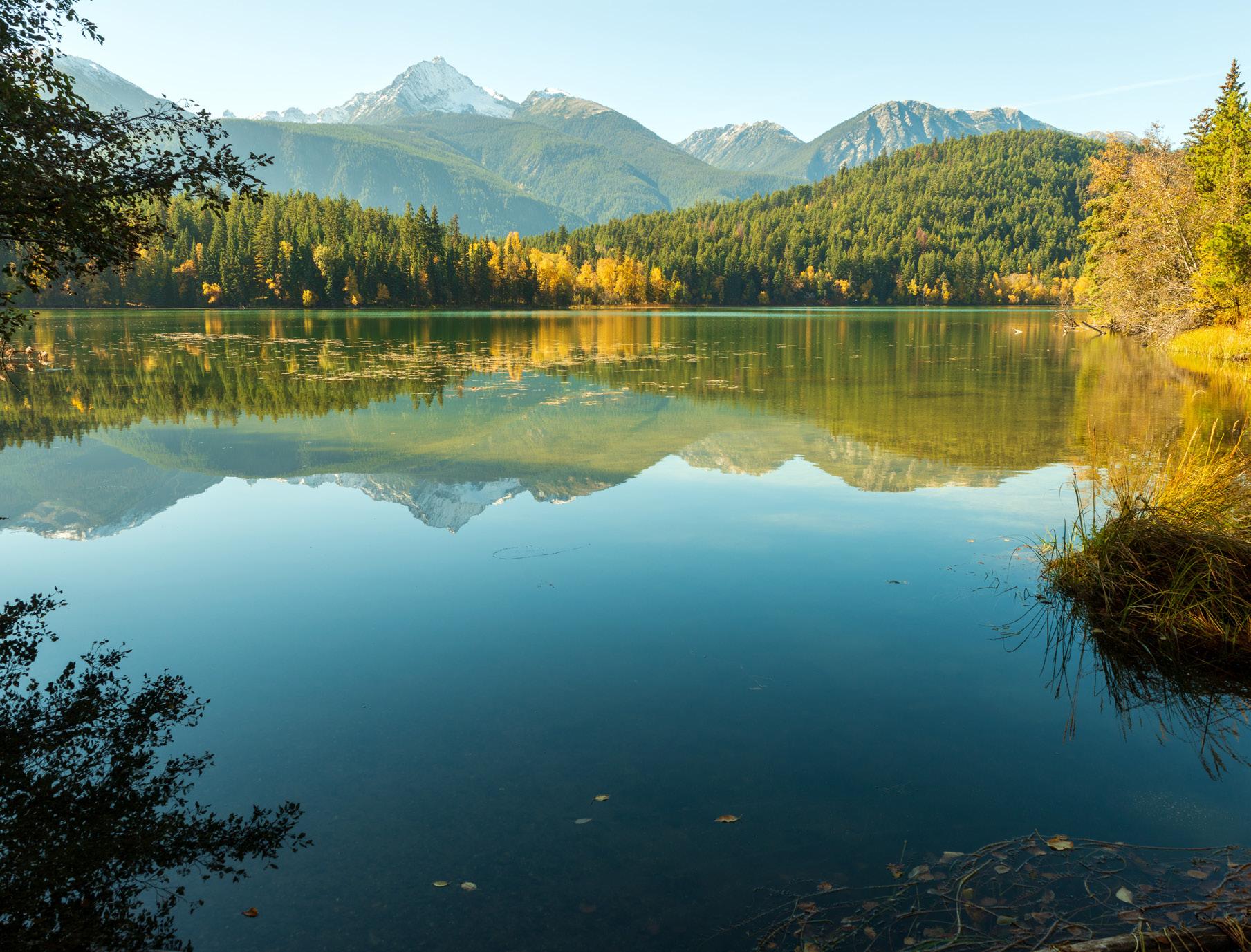
Gun Lake is said to have the clearest water in North America.
GOLD FEVER
CORMORANTS VS SHAGS
I enjoyed and was interested to read the article about cormorants in the Winter edition of British Columbia Magazine.
I was surprised to see that the author states that cormorants are sometimes called shags in Britain, which in fact is not true. The European shag is a different bird called P aristotelis, so it is always called a shag in Britain. The cormorant found in BC is P carbo, which is a different species. I found this information in the Birds of Ocean and Estuary, from Orbis Publishing and Reader’s Digest Field Guide to the Birds of Britain.
As always we enjoyed British Columbia Magazine.
Michael and Rachel Wilson, Dalkeith, Midlothian, Scotland
PORT ALICE
I read with great interest the story about Port Alice. I was born there in 1945. My dad and mom lived in Holberg where dad worked as a logger. When mom got close to her due date, she had to wait for a ride down the Quatsino Sound on a tugboat pulling a log boom. I can’t even imagine what that journey was like. She stayed by herself at Port Alice until she gave birth. This winter issue arrived just two days after my 78th birthday.
Alexis Hendricks, San Francisco, CA
EMAIL US
BC MAG • 7 Send email to mailbox@bcmag.ca or write to British Columbia Magazine, 1166 Alberni Street, Suite 802, Vancouver, BC, V6E 3Z3. Letters must include your name and address, and may be edited and condensed for publication. Please indicate “not for publication” if you do not wish to have your letter considered for our Mailbox.
2023 PHOTO CONTEST ENTER NOW! WWW.BCMAG.CA/PHOTO-CONTEST
2022 WINNING PHOTO
Andrew Rimanic
OPEN FOR SUBMISSIONS
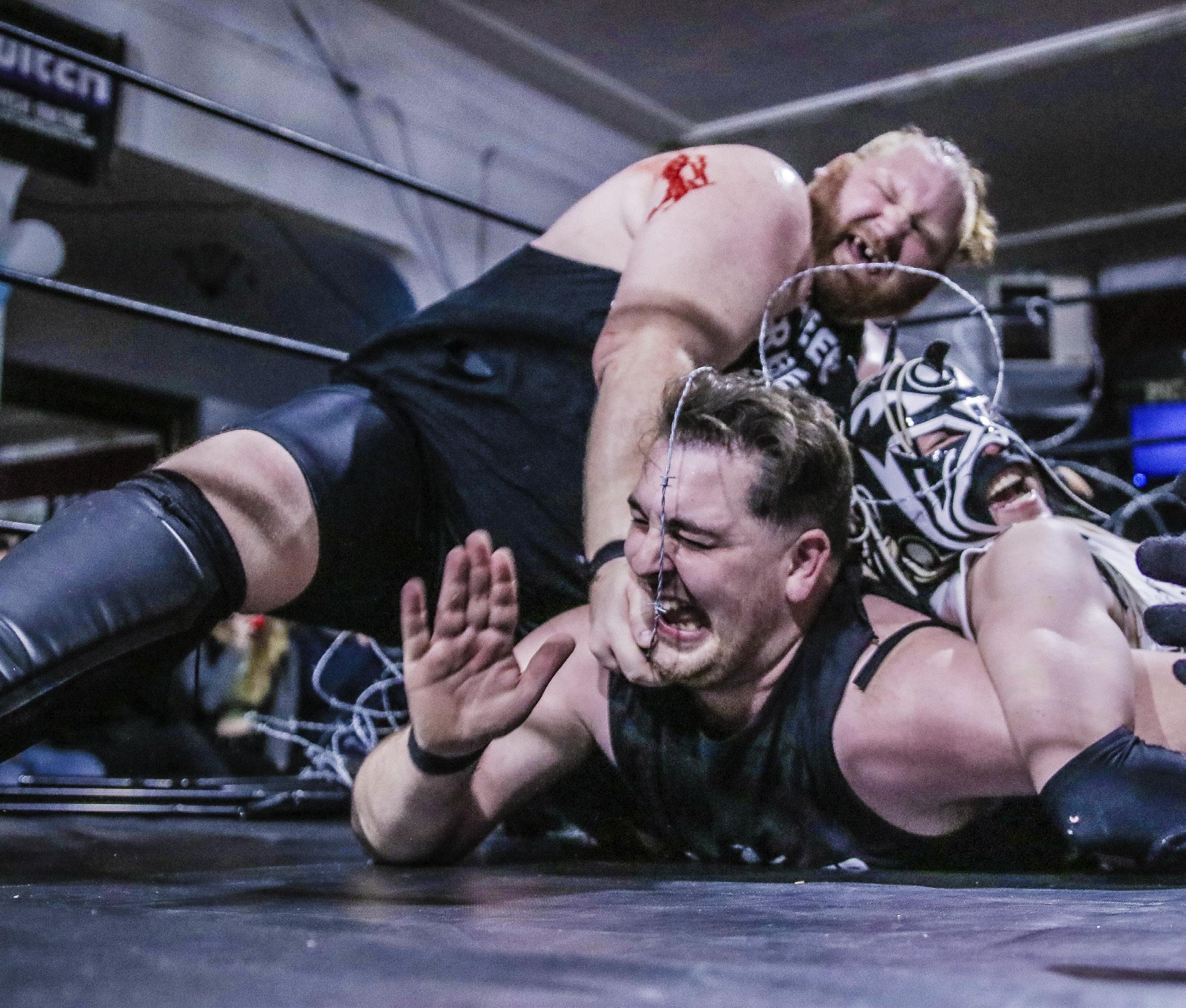
There will be danger when wrestling with barbed wire and Eddie, aka Mike Becherer.
READY FOR WAR?”
“Y’ALL
yells the MC. “Hell yeah,” the audience whoops back. “We’re gonna rumble” barks the MC again, as he whips the crowd into a frenzy. The referee enters the ring to a chorus of “Ref, you suck!” While Eli Surge—decked out in tinfoil—slips under the ropes and chants his mantra along with the audience: “Birds aren’t real, Birds aren’t real,” interspersed with “I hope he rips your head off” and “Put him in a body bag!” A row of kids wrapped in tin foil blankets hoot while
High-flying Fun
Vancouver Island-based 365 Pro Wrestling brings thrills to fans in small venues all across British Columbia
 BY JANE MUNDY
old timers decked in black leather holler, and hipsters rub shoulders with mothers wearing tin foil hats—this is Eli’s fan club. It’s a family affair tonight, and 365 Pro Wrestling is sold out at the White Eagle Polish Hall in Victoria.
The ring is decorated with barbed wire (I touched it, it’s real), and more barbed wire is nailed to a scary plywood board next to a trash can. The ref announces the rules to the four wrestlers—you have to be pinned or submit in the ring, oth-
er than that there are no rules— and in a flash, Eddie Osbourne gets smashed onto the mat that shakes and sags on impact. I’m laughing and screaming at the same time, it’s like riding the roller coaster. Eddie gets slammed again and is somehow wedged under the barbed wire board. There is blood.
“Yeah, I was bleeding, it happens sometimes,” says Eddie, aka Mike Becherer, Victoriabased 365 Pro Wrestling’s owner and operator.
So wrestling isn’t all fake? “Just fall in the ring once… Sometimes we get a few broken
8 • BC MAG
ENTERTAINMENT
Due West
DUE WEST
Darren Ho
bones and concussions but we work hard to keep each other safe,” says Mike. “We have to be in good shape and know how to take the falls, and you have to practice.”
You also need charisma. “Wrestling is like theatre; we try to be bigger than life, and project that image to the back row,” says Mike. “You could just get your opponent in a quick headlock but we draw it out so everyone can see, so our story is believable.”
When female pro wrestler Rose struts onstage the crowd goes wild and the ring is littered with artificial roses. But she’s the real deal. “Train with us for 30 minutes and then say it’s fake,” says Rose.
The audience throws their support behind her and good guys Haviko and Crofton, and dutifully boo the bad guys. Tonight, the most villainous are Devonshooter and Stein. “Crofton is the everyday man;
he goes to work and wrestles at night and people identify with him,” Mike explains. “Haviko is a superhero with his cartoon mask and high-flying flips from the ropes, people love how he twirls his opponent and takes them down.”
Mike started his wrestling career in high school. With his family’s support he trained at a pro wrestling school in Ontario for two years—although his mum thought it was just a phase and kept his room. But Mike didn’t move back home. He has been a pro wrestler for over 20 years and recently opened a wrestling school in Campbell River. Mike’s parents are proud of him. “My parents are incredibly supportive and proud,” says Rose, age 27. “Whenever possible they come to my events, wear my merchandise and show family and their friends my videos. They’re really involved in my career and I’m very lucky.”
Rose had never been to a live wrestling event before she started training with Mike/Eddie just one year ago. “Before I opened his door, I heard loud thumps on the mat and almost turned back—what was I getting myself into?” says Rose. “But ever since watching wrestling on TV as a kid I wanted to be in the ring. It was stupid to walk away. And getting out of your comfort zone was important to me so I took a deep breath and opened the door to six guys and Nicole, in full gear. I had never even worn knee pads.”
Rose caught on fast, but she had to find the courage to endure three months of training that was “super scary” before her first match. “I got squished,” she says, laughing. “Eddie won the match but he got booed and everyone cheered me except the little boys, because they love Eddie so much, and now see me as their evil big sister. That match
started my own fan base.”
Some people who have never been to a live event might look down on female wrestling but for Rose and her female colleagues, it is empowering. Her persona is a feisty woman defending people who can’t defend themselves. “It’s about showing young girls—through my athletic skills—that they too can be fierce and at the same level as men,” says Rose. Women and kids see her wrestle guys and win and they also see empowerment. “We have been taught that you have to be pretty and act a certain way to be accepted and succeed; we are scared to show our fierce spirit. But I’m not scared and I get to show my spirit in the ring.”
Not everyone, however, is supportive. “Some venues I try to book will say wrestling is too violent, but in the same breath they will say it’s fake. But it is definitely entertainment,”
BC MAG • 9 Adventure in our backyard. We have trails for days. tourismquesnel.com
Mike quips. Like ancient theatre. Remember that scene in Gladiator when Russel Crowe’s character Maximus yells, “Are You Not Entertained?” Sure, the audience loves that element of danger and kind of wants to see someone get hurt, but these guys are professionals and they excel at throwing insults at each other rather than punches.
“I didn’t expect that level of showmanship—combining acrobatics, gymnastics and old-time carnival theatrics. And the creative costumes—they really get into it,” says Robb Johnstone, age 59, after attending his first event. “I joined the audience’s gasps, oohs and aahs as wrestlers dropped from 10 feet in the air and piled on top of each other. It’s like Jackie Chan choregraphed the show.”
Jakob Svorkdal, age 21,
is also a fan. “The interactive show, where audience and performers yell at each other, is terrific. Even my female friends enjoy yelling; everyone pretends it’s real, but we all know the birds aren’t real,” says Svorkdal, laughing. “Eli has a good gimmick, he nails the comedy angle.” (FYI, the tinfoil keeps ‘them,’ aka birds, from spying on us. That’s one conspiracy theory put to good use.)
Why do British Columbians go bonkers for wrestling? You get to grab a bevvie, yell and scream and laugh your head off. “Pro wrestling is magic; you can be a kid again, get outside of yourself and no worries for a few hours,” says Mike. I concur. A measly 20 bucks for more than three hours of the best live theatre in a small BC town is a great way to spend an evening. I’m hooked.


CULTURE
Ladysmith Maritime Society’s Future in Question
IN SEPTEMBER 2022, a new reconciliation agreement between Stz’uminus First Nation and British Columbia set out a plan that provides $10 million over five years to support Stz’uminus-led remediation in areas of Ladysmith Harbour with the goal of supporting the nation’s land acquisition and management plans within the harbour. Not long afterward, the Ladysmith Maritime Society (LMS), a nonprofit organization that manages and operates Ladysmith Community Marina was informed by the Town of Ladysmith that they need to vacate the site and remove their infrastructure by the end of December 2023.
Richard Wiefelspuett, executive director of LMS, says the Ladysmith Maritime Society fully supports reconciliation and the transfer of the water lot (which has not yet occurred) to the Stz’uminus First Nation. He also believes the interests of all parties are best served with a strong working relationship between SFN and LMS. However, the society’s current agreements to use the water lot and the town's current lease weren’t set to expire until 2029, and a new operating arrangement between SFN’s Coast Salish Development Corp. and the society has not yet been reached.
The complex but important work of reconciliation that includes LMS will be precedent setting. This is all the more reason to work through the process in a slow and methodical way, to ensure that everyone’s rights are respected says Wieflespuett.
The water lot in question has $5 million worth of docks and other infrastructure, which have been added to over the years through donations and grants and worked on by volunteers. According to Wiefelspuett, it’s also a thriving community hub; and is home to multiple liveaboards and provides annual and transient moorage to a wide range of locals and visitors. A recent open house hosted by the society attracted an estimated 800 people—and while LMS had few answers, their presentation reiterated their support of the water lot transfer and the hope that it can be done in a way that respects their rights as a society.
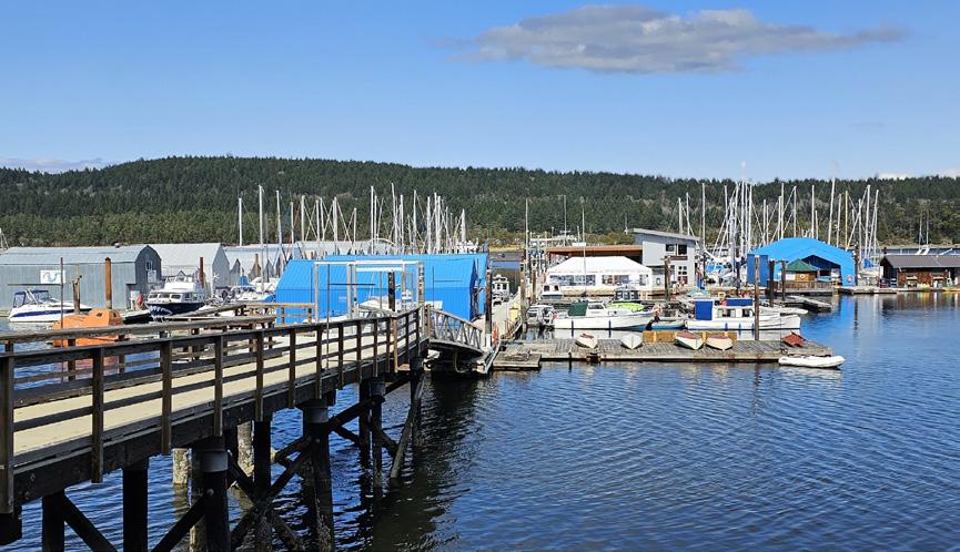
Stz’uminus First Nation chief John Elliot also met with Ladysmith Mayor Aaron Stone and Kelly Daniels, president of LMS to discuss the issues. Chief Elliot, who was recently re-elected along with a new council, says the nation needs more time to get caught up in order to get the right information out to the community.
Diane Selkirk
10 • BC MAG DUE WEST
Above: Wrestler Eli Surge in his tin-foil costume. Below: Rose appeals to her fans.
Left: Jane Mundy X2



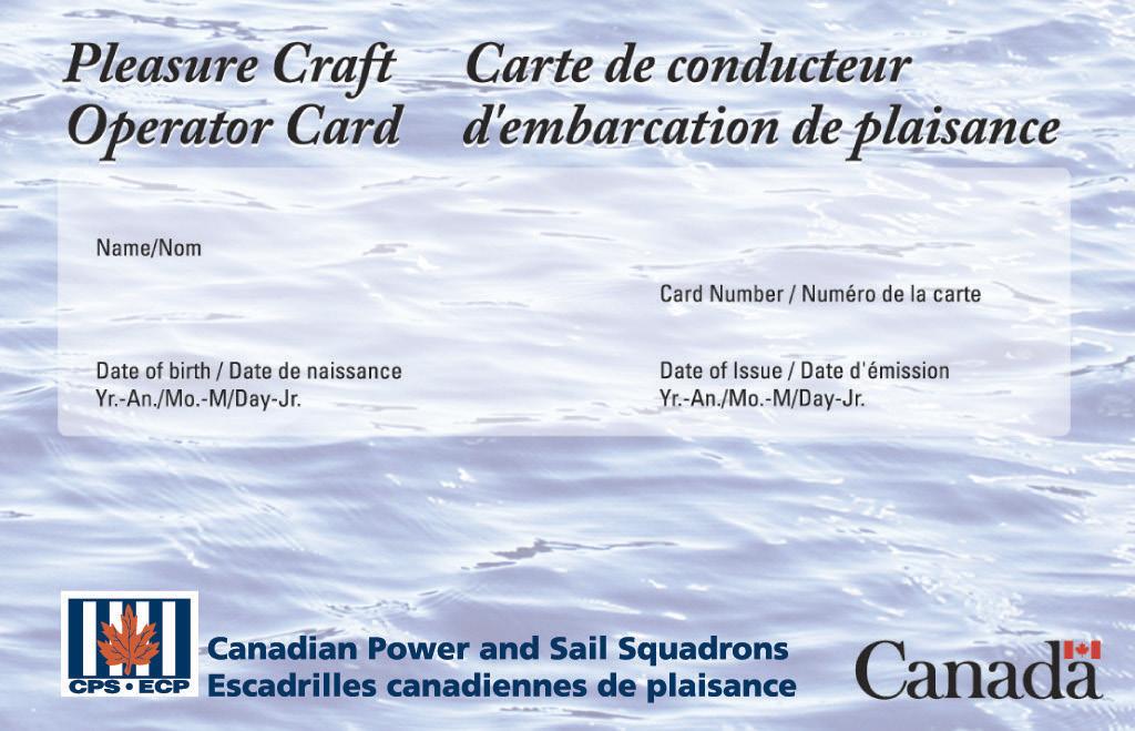
BC MAG • 11 Canadian Power and Sail Squadrons Escadrilles canadiennes de plaisance www.cps-ecp.ca | 1-888-CPS-BOAT Since 1938, CPS-ECP volunteers have been sharing their on-the-water knowledge with new and seasoned boaters, helping them prepare for both every day and emergency situations. Fees collected from our courses are reinvested in programs that allow us to better serve Canadian boaters. Charitable Registration Number: 10686 5611 RR0001 SCAN TO LEARN MORE $49.95 TAX FREE Course and Card PASS, PRINT AND GO • Print a temporary card • Get your permanent card in the mail • Good for life ONLINE COURSE • Open book quizzes • Unlimited test retries • Designed by a non-profit community of boaters for boaters MADE IN CANADA • Transport Canada Accredited • The only Canadian card that is NASBLA Approved and recognized by the US Coast Guard Get Your Official Boating Licence Today! BoatLicenceCanada.ca CANADA’S PLEASURE CRAFT OPERATOR CARD (PCOC) COURSE Summer Smith 01/01/2020 SMI-1234 05/01/2023
Truffles & Truffle Dogs
BY JANE MUNDY
LATE OCTOBER starts the truffle season and the lagotto romagnolos, the breed known as the Italian truffle dog, are back at work on Pete and Virginia Brietzke’s truffle farm in Parksville. Truffles have been harvested in Italy and France for thousands of years, and recently British Columbia has become fertile territory for cultivating the Périgord black truffle. After all, the Cowichan Valley is known as Canada’s Provence. Key to any successful truffle harvest, however, is a well-trained truffle hunting dog.
“Dogs are more reliable and faithful than fickle truffles that have minds of their own,” quips Pete. While growing truffles may be a labour of love, breeding truffle-hunting dogs is a sure thing—and the Brietzkes do both.
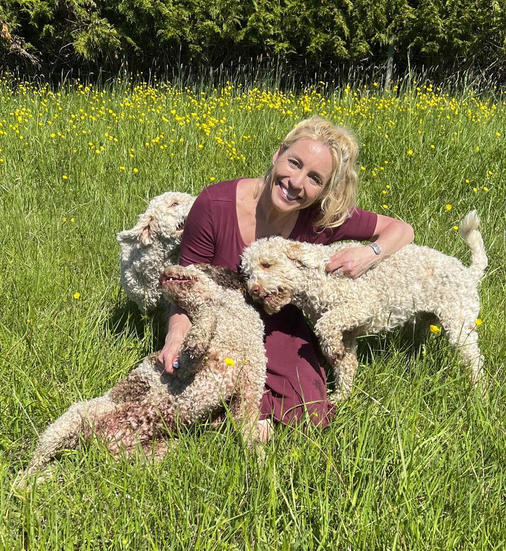
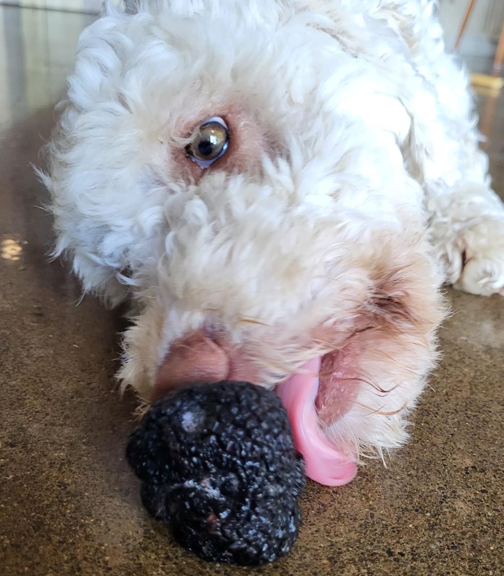
Pete leashes Katie and one of her pups in-training, and they head into the orchard for a two-to-three-hour hunt. This is not a nature walk. Pete leads them to a row of 50 oak trees with the dogs walking tail up, nose down and the command is “find.” Yesterday evening
was Yemma’s turn to hunt truffles under a row of hazelnut trees. “I’m looking for their ‘nose to ground’ cues; they scratch the earth under a tree, indicating where to dig,” explains Pete, who is looking for indicators like the absence of grass or a crack in the ground. He delicately scrapes the earth with a three-prong rake as the truffles can be small, and gently digs. “We typically bring back one or two—or none. Sure, it’s disappointing when you don’t find something but that’s part of the payoff when you hit the jackpot.” But Pete and Virginia
haven’t hit the truffle jackpot yet, which can mean yields up to 60 kilograms per hectare and thousands of dollars per kilogram.
What’s so special about these Périgord black truffles? The ancient Greeks and Romans called them the Food of the Gods, and they rank with other elite foods such as caviar and saffron. The French gastronome Jean Brillat-Savarin in 1825 claimed it “the jewel of the kitchen” and an aphrodisiac. The English poet Lord Byron reportedly kept a truffle on his desk, believing its fragrance
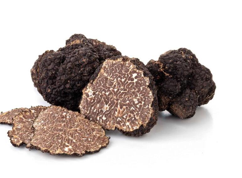
would stimulate creativity and attract the muses. The taste is earthy and nutty, rich and deep, with a sensual, musky aroma. Add to that its scarcity and that’s why this sought-after delicacy is known as the “black diamond.”
For centuries wild truffles grew only in Europe, but truffle cultivation, which has been around since the early 19th century, has enabled this delicacy to be farmed in new places, such as the Pacific Northwest. Cultivation comprises inoculating the roots of oak and hazelnut trees with truffle spores. According to Dr. Shannon Berch, president of the Truffle Association of BC, there’s science behind the difficult work of creating a cultivated truffle industry, and you have to make a truffle orchard specifically; you can’t create one after the fact. Successful truffle production requires a symbiotic relationship between Tuber Melanosporum and its host tree so that the fungus envelops the tree roots and provides mineral ions, phosphorus in particular. (A truffle is the fruiting body of a fungus—a tuber—that grows underground.) In return, the fungus that will grow up to be black Périgord truffle receives carbohydrates. But this association needs to be nurtured, and it takes time.
Virginia’s parents imported their first inoculum from Europe in 2003 and now the family is growing and marketing truffle trees inoculated with French black Périgord spores. Pete and Virginia inoculated their Garry oak and hazelnut trees 15 years ago and they now have five acres of inoculated trees. But there are also several factors involved for a successful harvest. Soil pH level is key, along with everything else that dictates growth. The estimated time to the first truffle harvest is five to nine years, like most fruiting trees. And truffles are tasty to pretty much all wildlife. With so many challenges, why bother buying inoculated trees?
12 • BC MAG DUE WEST
CUISINE
Virginia and lagottos
Lia, Marley and Stella frolicking on their truffle farm.
Top: Jane Mundy; Bottom: Virginia Brietzke
“Our customers are mostly interested in doing something different—their green thumbs want a challenge,” says Pete. “European customers buy trees because they want a bit of home and Americans buy our dogs to find truffles,” says Pete, “but most folks purchase several inoculated hazelnut trees because they are guaranteed to get nuts and truffles later— can’t lose.”
Berch has a truffle dream for BC that includes “professional truffle dog teams working with truffle growers to ensure that all cultivated truffles harvested in BC are at the peak of ripeness and build a first-rate reputation for cultivated culinary BC truffles.”
Lagotto romagnolo truffle dogs originated in the Romagna region of Northern Italy in the 1300s. The first Cana-
dian litter from working truffle lagottos were born at Virginia’s parents’ Parksville farm in 2008. They typically have just three mothers who will have only three litters in their lifetime, so some people wait years for puppies.
Truffle detection is pretty much the same as finding anything else, like beagles finding narcotics at airport terminals. Virginia starts training the lagottos by spritzing truffle on Mum’s teats when her pups are suckling. “Then we put truffle shavings in rice caches tied with an 18-inch string and bury underground but with the top of the string marking the spot,” she says. “We walk the puppy past the spot a few times and they are rewarded with treats and hugs when they find the cache.”
Italians describe them as “carino,” meaning cute. But those
teddy-bear looks are deceiving as they are durable workers, known for their strength and endurance—everything you want as a pet and truffle hunter. “We’ve been breeding Laggotos for 10 years and Pete still gets teary-eyed when they are adopted, but we know they will be taken care of, mainly to families and often people with allergies,” says Virginia. “As well, because the dogs are so quiet, they are great with autistic kids and they’re therapy dogs; you can train them to sniff anything, from drugs to diabetes.”
While dogs and trees are Pete’s passion, Clarence, the family’s mini-pig has his snout out-of-joint because truffles are his passion and the dogs are hunting while he stays home. Pete says Clarence finds truffles easily and he’s faster than the
dogs, but he needs restraining, otherwise he’ll eat them. That’s the tough part—some Italians are missing fingers. (Truffle pigs were banned in Italy in 1985.)
“Clarence is mostly an ornament now and he doesn’t play well with others, but he has an iron will and I only get truffles out of his mouth with a lot of protest and loud squealing,” says Pete, with all his fingers. While the cultivated truffle industry in BC is just starting to take off, there are many native species on the island. We don’t know much about what kinds of truffles are here, unlike foragers in Europe. However, Berch told the Vancouver Island Free Daily that, “We have some good, trained truffle dogs, they’re out in the woods finding them. I suspect we’ll find hundreds [of species]… The dogs have just revolutionized truffles.”
BC MAG • 13
ENVIRONMENT
Problems at Lois Lake
BY ANDREW FINDLAY
PAT DEMEESTER, a Powell River-based angler and flyfishing guide, says he first noticed farmed fish swimming wild in Lois Lake more than a decade ago. Now he catches them almost every time he casts a line into Lois and Khartoum lakes—some of them up to 30 pounds.
Lois is the first in a 57-kilometre-long, five-portage, eight-lake chain popular with paddlers, anglers and campers. It’s called the Powell River Forest Canoe Route and it travels through a working forest crisscrossed with logging roads and cut blocks. The tree stumps on Lois Lake’s shoreline tell the story. The lake was formed in the late 1940s following the construction of a dam to store water for a hydroelectricity power plant downstream in Stillwater, a rural community 20 kilometres south of Powell River.
There’s been a fish farm and hatchery on Lois Lake for more than 30 years. It’s run by West Coast Fishculture, a subsidiary of AgriMarine Holdings Inc. In 2013 AgriMarine, then based in Vancouver bought West Coast Fishculture for $5.2 million with plans to install its proprietary
fibreglass semi-closed containment technology at the Lois Lake site. A year before buying the Lois Lake operation, AgriMarine hit the headlines when a pilot semi-closed floating fish tank farm near Campbell River was damaged in a storm, releasing thousands of farmed chinook salmon into the Salish Sea.
Demeester says he’s been watching the Lois Lake fish farm for years and fears that escaped fish have taken hold in the wild. He calls them “30-pound kokanee-eating machines.” He’s particularly concerned about the impact on the blue-listed endemic cutthroat trout as well as kokanee salmon that are important feed fish for wild cutthroats.
“It’s not just a few rainbows that have escaped, it’s hundreds and thousands of them. What is the impact of all this biomass on other species?” Demeester says.
“This farm is flying under the radar and nobody seems to be doing anything about it.”
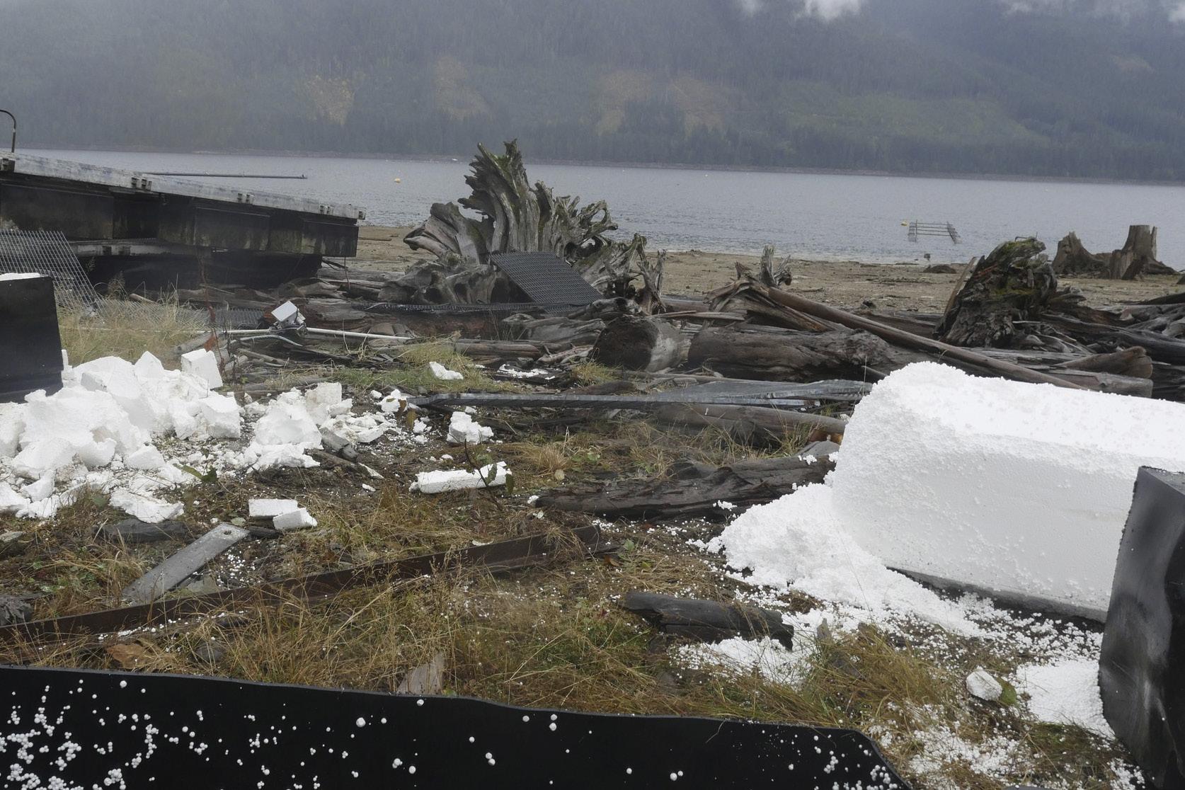
That’s not all he’s concerned about. According to Demeester this past winter Styrofoam and other debris from the fish farm was littering the shore and
surface of Lois Lake. Furthermore, he claims the farm halted the required practice of marking farmed fish (by clipping their adipose fins), making it hard for anglers to identify them.
In a statement dated April 14, 2023, Department of Fisheries and Oceans Canada (DFO) spokesperson Jennifer Young confirmed the federal government “is aware of compliance concerns at the AgriMarine operation on Lois Lake.”
“The facility is currently being investigated by fishery officers from DFO’s Conservation and Protection Aquaculture Unit. As this is an ongoing investigation, it would be inappropriate to comment further at this time,” Young wrote in the response.
Stan Proboszcz, senior scientist with the Watershed Watch Salmon Society, was alerted about Lois Lake early in 2023. In April, he travelled to the Sunshine Coast to check it out and captured video of fish farm infrastructure, including pipes and tubes leading from the shore to the fish farm. He also saw escaped farmed trout rolling around on the surface
of the lake. Proboszcz says his visit confirmed what he saw on an aerial photo located on iMAPBC, a provincial database of all provincial tenures on Crown land, that clearly shows the Lois Lake fish farm operating outside of its 40-acre tenure.
This isn’t news to regulators. A document obtained by Proboszcz through a freedom of information request confirms government officials have been talking about problems at Lois Lake for almost two years.
“… Fisheries and Oceans Canada (DFO) has determined that the new infrastructure placement at the facility is not located within the associated [Ministry of Forests, Lands and Natural Resource Operations] Crown land tenure and is therefore in non-compliance,” states the internal Ministry of Agriculture, Food and Fisheries document dated July 21, 2021.
Demeester believes a big part of the problem is that regulation of freshwater fish farms involves a number of different government agencies “that aren’t talking to each other.”
DFO is responsible for licensing and regulating salt and freshwater fish farms. It’s up to them to ensure a company meets the conditions of its license. DFO last issued a license to West Coast Fishculture in 2016 and it’s set to expire next June.
One fact is clear—fish escapes and effluent issues at Lois Lake are now squarely on the provincial government’s radar. Last December, the Ministry of Environment and Climate Change Strategy issued a warning to West Coast Fishculture for failing to meet discharged water quality standards. Water samples revealed levels of coliform, ammonia, nitrate, nitrite, as well as dissolved aluminium, zinc and copper that exceeded British Columbia Approved Water Quality Guidelines. Then in early 2023, the Ministry of Forests said on its website that it was pondering a daily catch quota of six rainbow trout, including a maximum of two wild rainbows. As rationale, the ministry highlighted “an immediate threat posed by the escaped, non-sterilized rainbow trout from the Lois Lake aquacul-
14 • BC MAG
DUE WEST
Source from: Safe Salmon Facebook Page
Styrofoam polution at the Lois Lake fish farm.
ture facility which have the potential to hybridize with resident cutthroat trout populations and compete for resources.”
Several calls to West Coast Fishculture’s Powell River office asking for comment from operations manager Jeff Robins were not returned. A phone number for the parent company AgriMarine Holdings in Vancouver is out of service.
While DFO is keeping tightlipped about its investigation, it’s business as usual at Westcoast Fishculture. At the same time, the company’s product continues to appear on the menus of BC restaurants with the Ocean Wise label. For example, Cactus Club Café is serving “Grilled Dijon Salmon” described on the menu as “Ocean Wise Lois Lake steelhead,” despite the fact that fish currently being farmed at Lois Lake are rainbow trout. Ocean Wise is the Vancouver Aquarium’s seafood rating system, which is based on 10 environmental impact criteria
ranging from chemical use and waste effluent to disease and introduced species escapes.
Mike McDermid, director of Ocean Wise, says he first heard about allegations of problems at Lois Lake last year. Consequently, in November 2022 Ocean Wise put Lois Lake rainbow trout officially “under review,” but the fish emerged with their rating intact.

“After reviewing all of the information it was deemed that the farm was still operating in accordance with the original assessment and the Ocean Wise recommended status was reinstated,” McDermid says. “We know that all food production is going to have some impact, so the goal here is to mitigate impact on the ocean and drive continuous improvement.”
According to McDermid, the problems at Lois Lake are more regulatory in nature than environmental and notes that Lois Lake is part of an unnatural chain of lakes created by a
hydro dam project.
“If they’re going rogue and dropping their environmental standards then yes, this will be a concern for us. But at this point there doesn’t appear to be any environmental problems at this operation,” he says. “We found no evidence of fish escapes in the last five years.”
The fact that Lois Lake and its farmed trout still fly with the Ocean Wise banner puzzles both Demeester and Proboszcz.
“I have to say, I’m a bit surprised, given it appears the province acknowledges the threat of the marked fish escapes on natural populations in the lake,” says Proboszcz.
Demeester is out on the lake chain almost everyday and says McDermid is dead wrong about fish escapes.
“This is what we’re dealing with up here.” says Demeester. “I’m not an anti-aquaculture guy. But I think this fish farm should be shut down until they’re in compliance.”
The 2023 British Columbia Magazine Photo Contest is now live! Go to bcmag.ca/ photo-contest for rules and regulations and to find more information on how to enter. Deadline for this year’s contest is July 21. Good luck!
BC MAG • 15
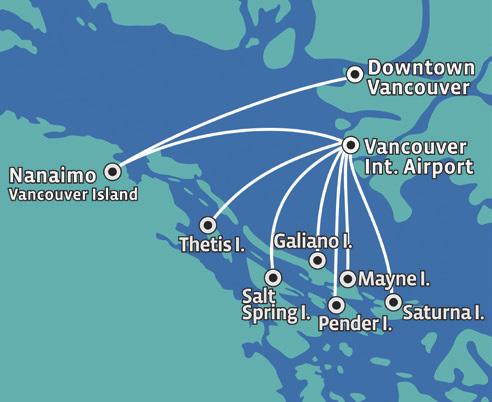
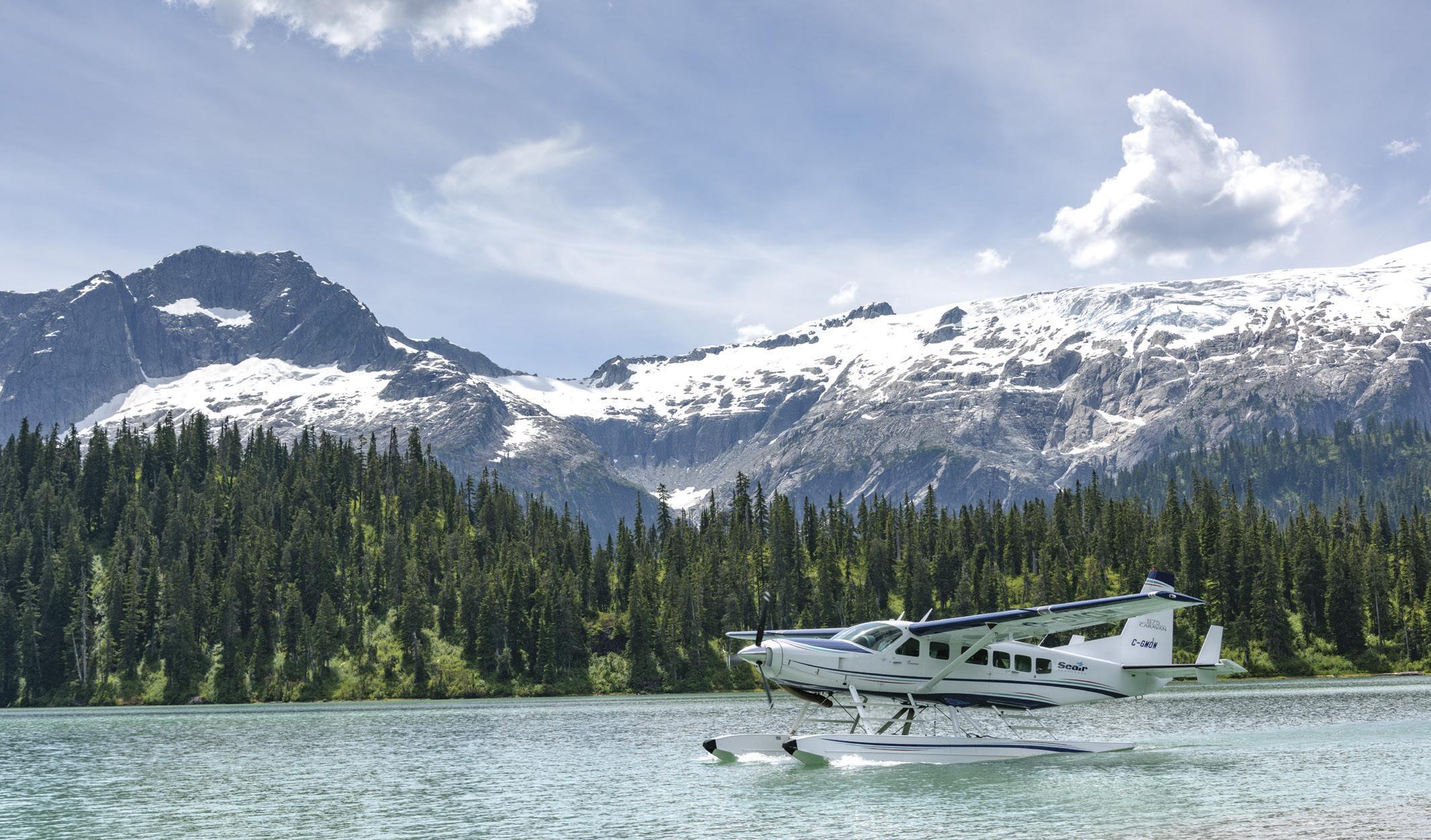
1-800-447-3247 | 604-273-8900 | seairseaplanes.com Seair Seaplanes provides you with professional and personalized service specializing in flying charters and scheduled flights throughout Coastal British Columbia. CHARTERS Seaplane Charters to Anywhere on the British Columbia Coast SCENIC TOURS Unique Experiences in Amazing Places SCHEDULED Up to 32 Flights Daily to Nanaimo and the Gulf Islands from Vancouver
Enter BC Mag’s 2023 Photo Contest
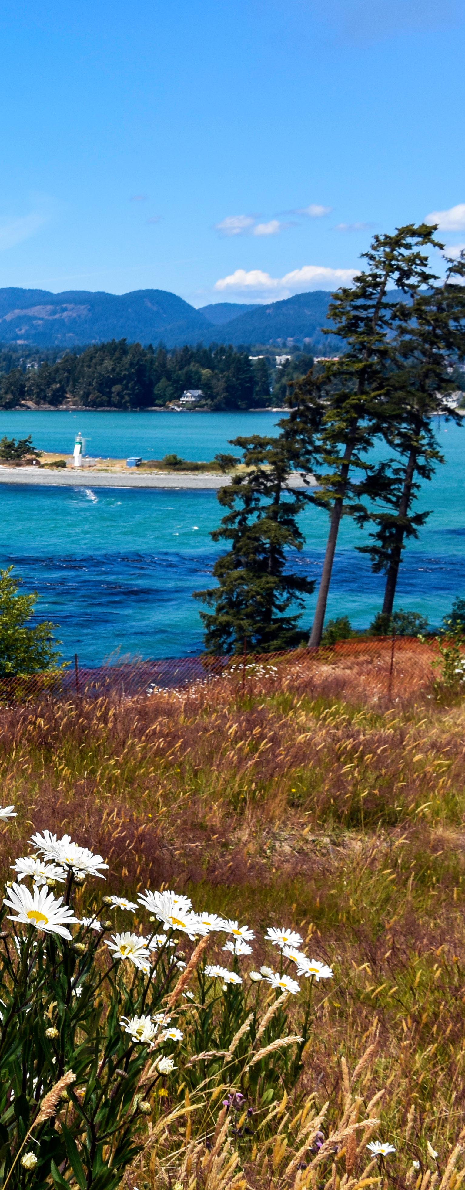
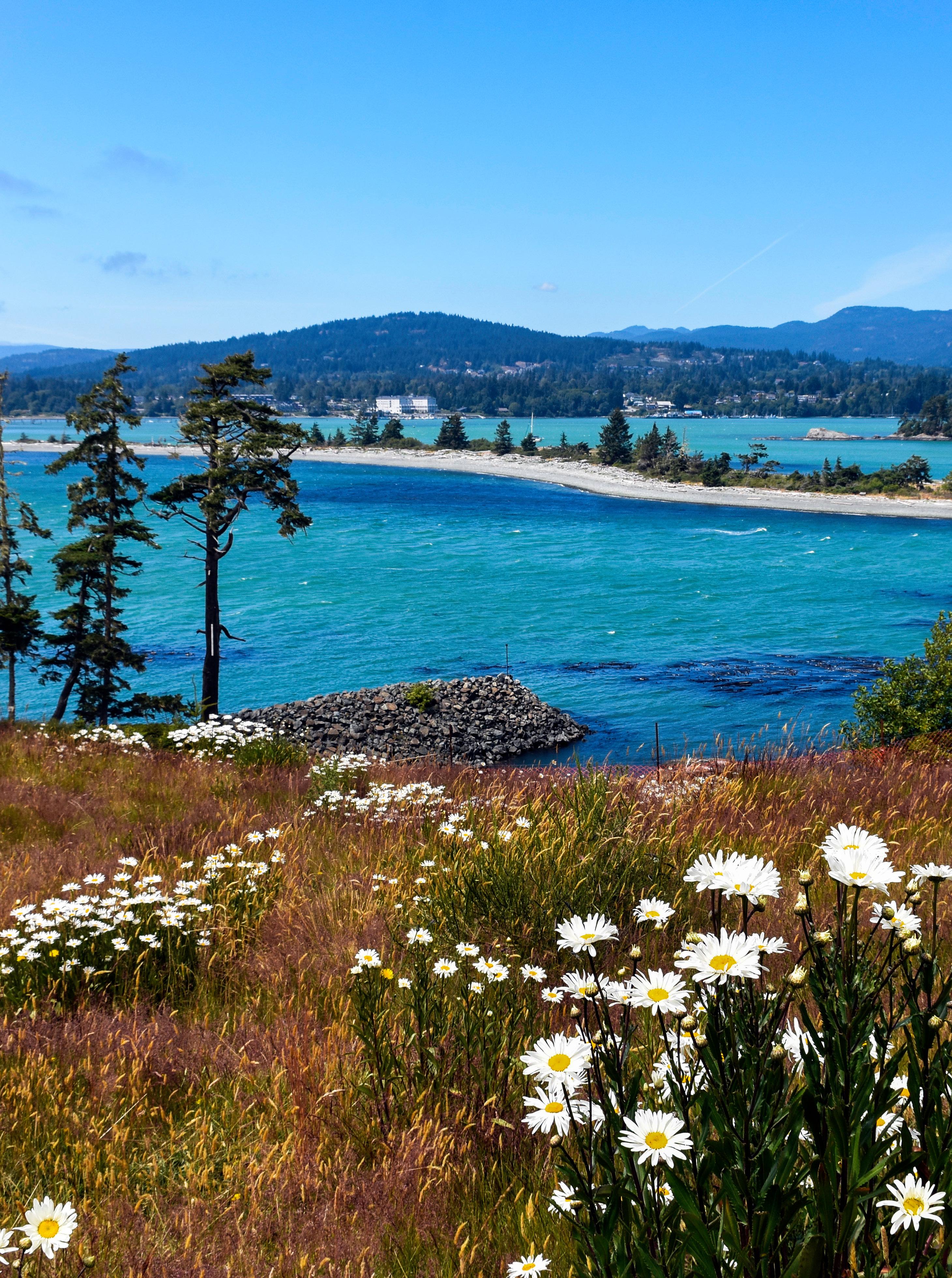 Whiffin Spit and its little lighthouse.
DESTINATION SOOKE
This seaside town, just 45 minutes from Victoria, has plenty to offer travellers
BY JANE MUNDY
IIn the not-too-distant past, Sooke wasn’t much more than a haven for hippies and commercial fishers. There wasn’t much to do. Now it’s a magnet for lightweight adventurers. And with great food, three brew pubs and lux accommodations, this little town 45 minutes west of Victoria is a perfect getaway where you can unwind and get outdoors.
Circle routes are more interesting than driving the same stretch of road twice. So, adding another half hour from Victoria to bucolic Cobble Hill, we were just in time for lunch at Merridale Ciderworks. (If you’re coming from the mainland, either catch the ferry to Nanaimo from West Vancouver (Horseshoe Bay) or avoid
BC MAG • 17
DESTINATION SUMMER
Joanne Dale/Adobe Stock
the Malahat and board the ferry from Brentwood Bay to Mill Bay—close to the Swartz Bay ferry terminal.) After a stroll in the orchard with 20 apple varietals—keep going to the end and the faerie mine, which is fascinating not only for kids—Chelsea guided us through the cider tasting experience, including traditional “Scrumpy” with its huge tannins to a Margarita-style Jalisco cider. Merridale has come a long way since selling cider from soda pop coolers. Sample their Aura Gin, a gorgeous magenta colour and so smooth, even at high noon. Speaking of gin, Sheringham Distillery recently moved from Sooke to Langford and you can’t miss it on this route.
To get the lay of the land in the Sooke area, we hopped on e-bikes provided by Palli Palli (delivery and pickup included in rental), ideally suited for the famous 56 kilometre Galloping Goose converted railway trail. You can pedal the trail in three hours and be back without breaking a sweat, with a pit stop at the Sooke Potholes, so pack your bathing suit. Hiking at Sooke Potholes Provincial Park is also not to be missed— even on a gloomy day.
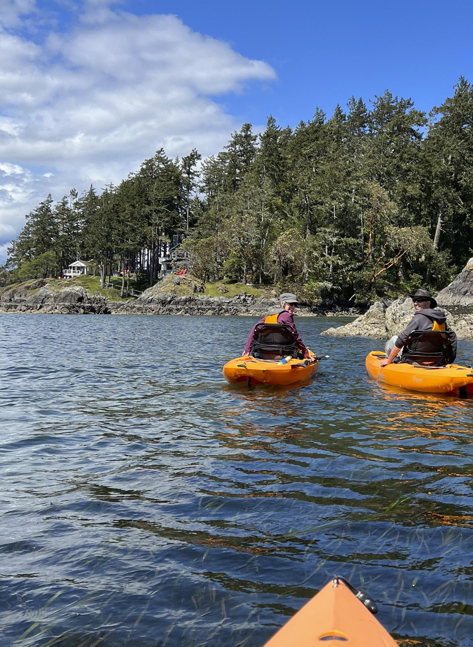
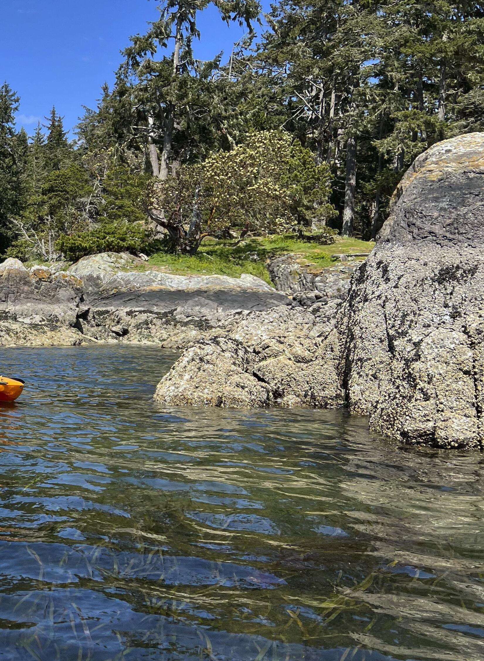
Well-maintained trails lead down to pools and potholes naturally carved into the bedrock of the Sooke River with crystal clear water. Hands down—and handsfree—pedaling with West Coast Outdoor Adventure was one of my best (AKA relaxed and easiest) kayak trips ever. Our guide Allen briefly explained the fast and stable foot-powered Hobie kayak and we zipped past Sooke Harbour and Whiffin Spit in no time. We paddled through kelp gardens with water so clear we could see purple and pink sea stars and a world of marine life far below. Coming back, we zig-zagged under the old wooden boardwalk and under the watchful eyes of harbour
18 • BC MAG
DESTINATION
Top: Jane Mundy; Above: Adrena Line Zipline Adventure Tours x2
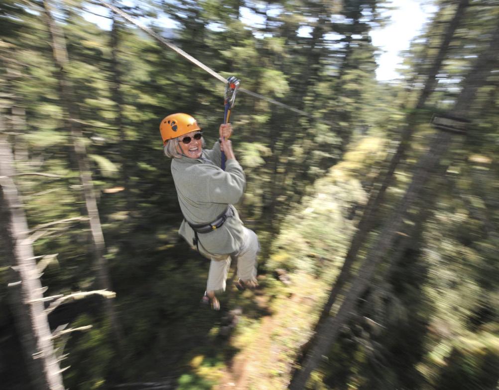
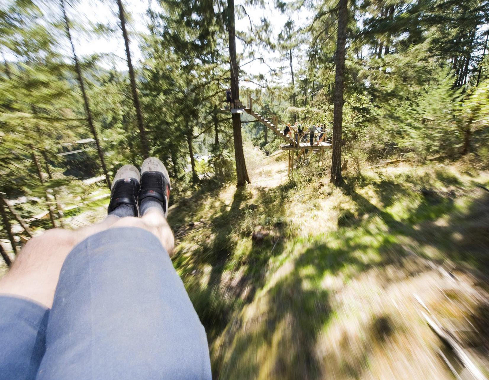
Zipping through the rainforest canopy.
seals lolling on the dock. And a molting elephant seal was snoozing on the pebbly beach at Wiffen Spit, and cordoned off with yellow warning tape, thanks to the parks board. The 1.3-kilometre flat walking trail, which is suitable for wheelchairs and strollers and dogs on leashes, is flanked by park benches and driftwood, and divides the calm waters of Sooke Basin with the frothy Juan de Fuca Strait.
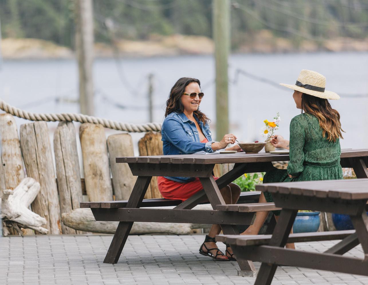
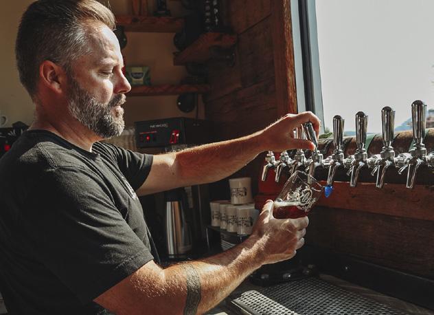
All that walking and paddling required a bevvy. With three microbreweries and only about 15,000 residents, you’ll likely grab a table, along with a stellar view, at award-winning Sooke Oceanside Brewing. Owner Ryan Orr started brewing from his garage and expanded to a gas station in 2016. “When you don’t have money you get resourceful—it’s called West Coast Funky,” says Orr, laughing. “We sold out of beer one day after we opened and now SOB beer sells in 150 stores throughout Vancouver Island.” Go for the flight, a great way to sample six brews and delivered in a gorgeous flight board design of Vancouver Island.
After a morning soak in the Prestige Oceanfront Resort’s hot tub followed with coffee on our expansive balcony overlooking Whiffin Spit, we were stoked for a zip with Adrena LINE Zipline Adventure Tours—talk about exhilarating! A short drive from our hotel, we were soon soaring through the forest canopy on the new 2,400-footlong “Big Zip,” eye-level with raptors and the Olympic Mountains in the distance. I’ve experienced several ziplines, including a few near-death zips that involved stopping at the end by smashing into the platform at the speed of light. But these trolleys have magnets that allow for a soft and gentle landing and a back-up brake system is a heavy-duty spring pack—clearly no expense has been spared on safety.
Combine the Big Zip with the twohour guided forest canopy on eight different ziplines, ranging from 45 to 305 metres in length. “An 86-year-old wore her sticks until the very top. She zipped with her granddaughter and
BC MAG • 19
Tourism Vancouver Island/Ben Giesbrecht
Paddling along the ocean shoreline near Sooke.
last year an ‘active seniors’ group was here—they’ll be back,” says Scott McQueen, Adrena LINE director. “Zip lining appeals to adventurous people and it doesn’t require any aptitude. Our goal is to be wheelchair accessible.” After the first zip we were in competitive mode and with bodies in torpedo shape (flat) we clocked in at 66 kph. Heehaw!
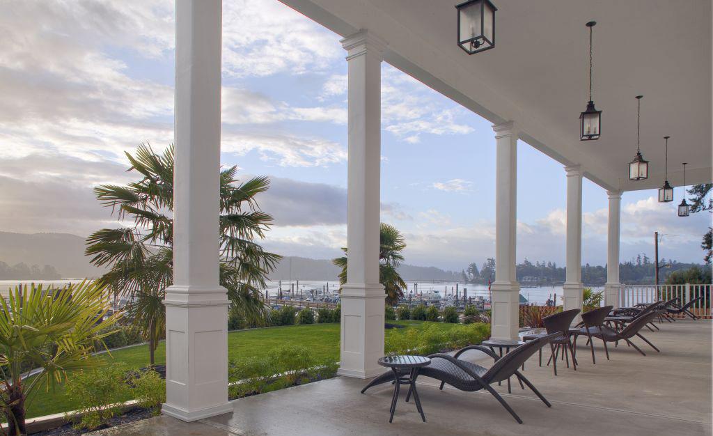
Back at the luxurious Prestige with its beachy-Miami decor, we didn’t have to leave the building for outstanding local cuisine. The bucket of shrimp and calamari were both perfectly cooked and the huge plate of burrata with tomatoes made it back to our balcony. A few locals said they come here for the best smoked
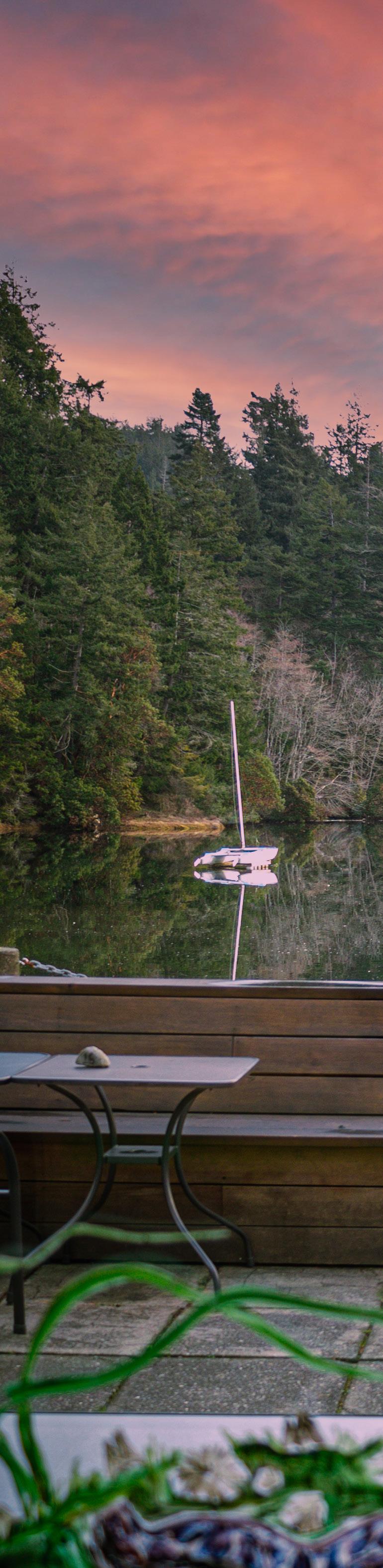
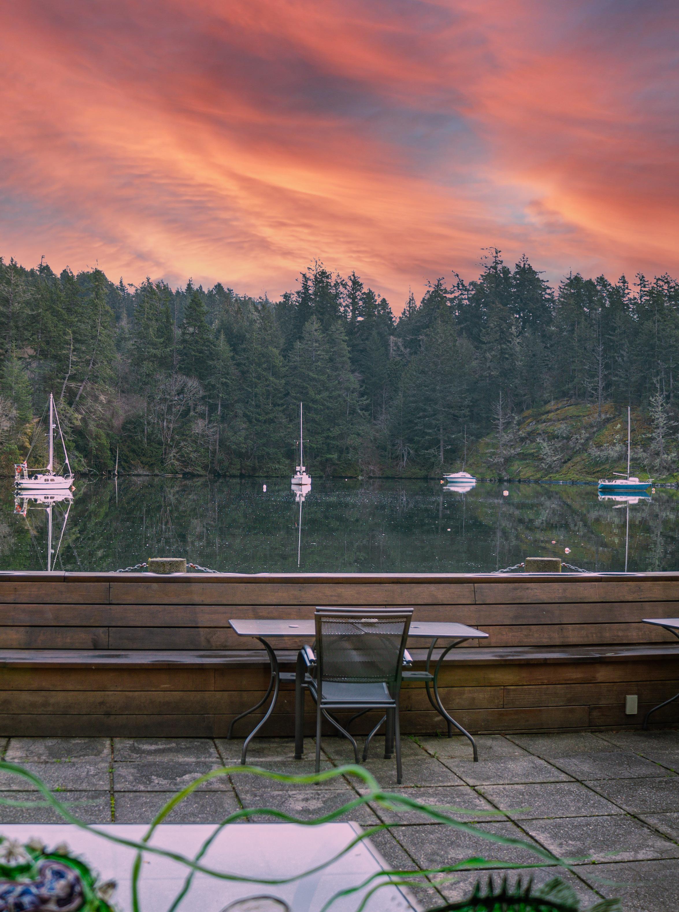
salmon and crab cake bennys, and I agree. On par with the West Coast Grill is Wild Mountain. Chef Oliver’s menu showcases the local community of fishers, foragers, farmers, brewers and bakers, including pizza sliding out of the new wood-fired pizza oven (the crust is made with locally grown and milled wheat). We scarfed down a second order of the crispy polenta and pickle dip and outrageous chocolate pudding back on our balcony, listening to the last cry of seagulls and faint snorts of seals as the sky turned pink and purple and everything was right with the world.
20 • BC MAG DESTINATION
Above: Michael Baxter X2; Right: Sooke Region Tourism Association/Daniel Baker
Sooke Oceanside Brewery.
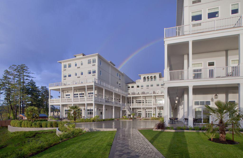
A fitting rainbow over Prestige Hotel.
Amazing views from the patio of Stickleback West Coast Eatery.
IF YOU GO
Stay Prestige Oceanfront Resort offers luxury, an indoor pool, hot tub and spa for guests. prestigehotelsandresorts.com
Eat The West Coast Grill in the Prestige Hotel offers a great Ocean Wise menu. westcoastgrill.ca
Best to make a reservation at the wildly popular Wild Mountain, open Thursday to Sunday. wildmountaindinners.com
Drink
Sooke is home to three microbreweries—Sooke Brewing Company, Bad Dog Brewing and Sooke Oceanside Brewing. sookebrewing.com baddogbrewing.ca sookeoceansidebrewery.com
Play Kayak with West Coast Outdoor Adventure. westcoastoutdoor.com
Palli Palli delivers e-bikes and paddleboards to your location. pallipaddle.com
AdrenaLine zipline adventures provides guided canopy tours. adrenalinezip.com
6
Special Bakeries on South Vancouver Island
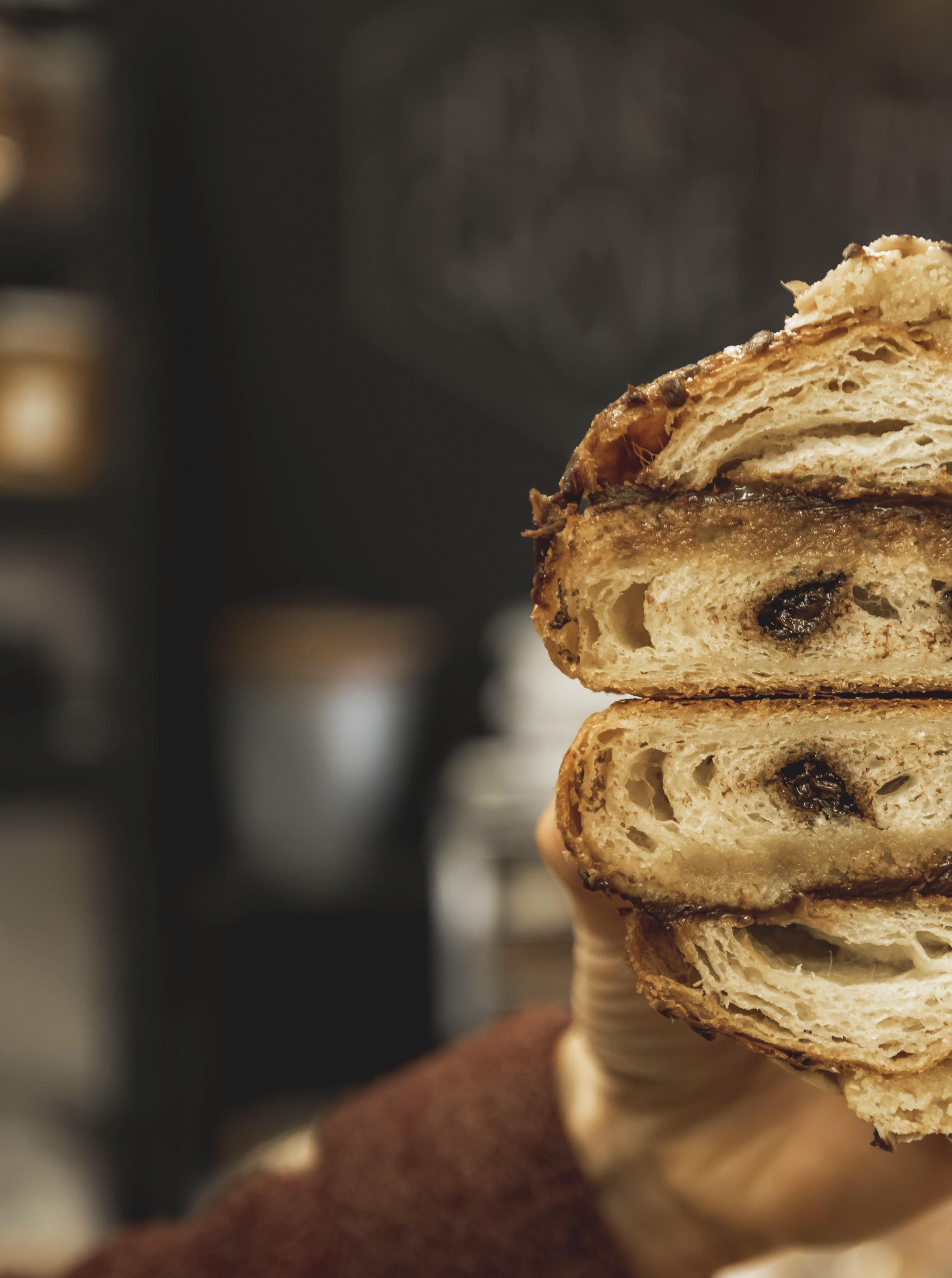
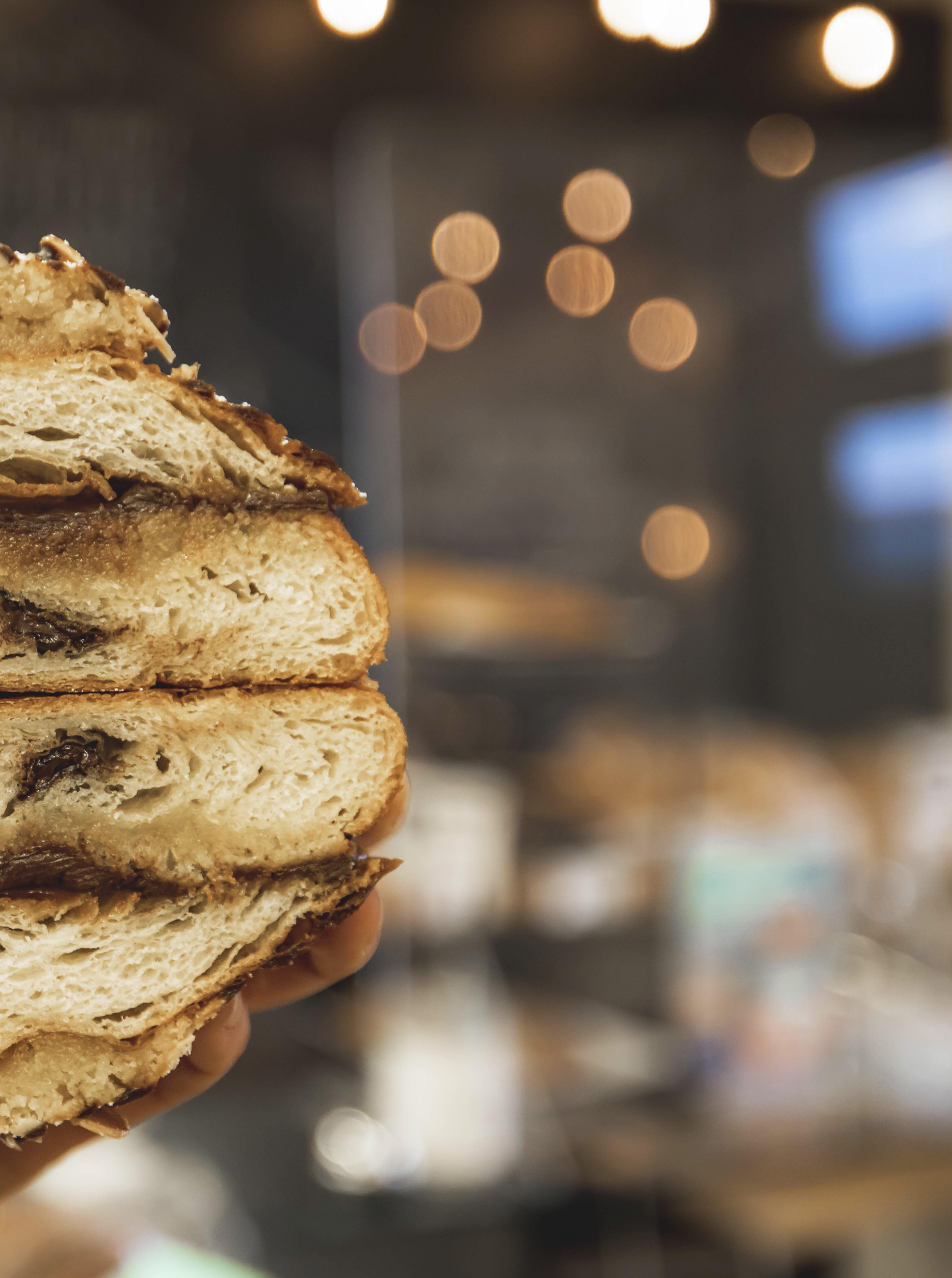
“LET US BREAK BREAD TOGETHER.”
BY M arianne S cott
TThis is one of the many sayings about bread, a fundamental staple food that provides 20 percent of calories consumed by humans. All the world’s countries produce some kind of bread, ranging from fluffy loaves to baguettes to bagels to flatbreads of every kind. Bread permeates history and cultures—even revolutions. The phrase “Let them eat cake,” attributed to Marie Antoinette, refers to peasant-led bread riots which helped launch the 1789 French Revolution.
A recent archeological find in Jordan revealed that hunter-gatherers made bread from wild wheat, wild barley and plant roots around 14,000 years ago. Bread became widely available when various grains were domesticated, millstones ground grain into flour, and settled agriculture spread around the globe. And since man cannot live by bread alone, pastries became common after world exploration made sugarcane more available after 1500.
In the last decades, bread and pastries have seen a renewal in North America, changing from mass-produced, generic, soft bread to many varieties of artisanal loaves. Vancouver Island’s bakeries have some of the most original specialties whose descriptions make our mouths water—a caramel macchiato bun, a chocolate cake with peanut butter mousse and a French buttercream and ganache top, or a Belgian chocolate berry torte. So for us breadwinners, here are six south Vancouver Island bakeries that bring joy.
 Wayne Sawchuk
Patisserie Daniel Cook Street, Victoria
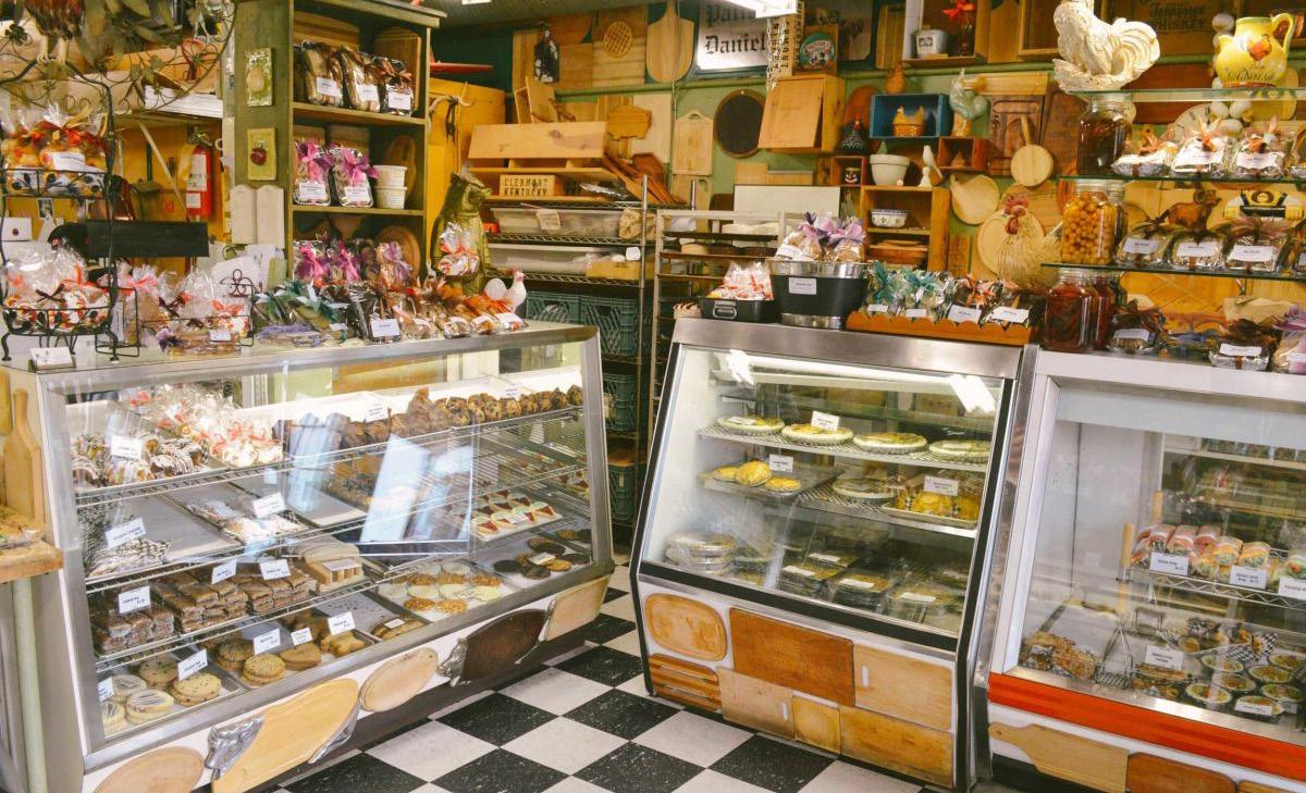
This bakery has operated in downtown Victoria for 31 years and its breads, pastries and pies—both sweet and savoury—trigger line-ups outside its unpretentious premises every weekend. Operated by the gregarious Daniel Vokey, it’s an institution where several generations have ordered cakes to celebrate births, baptisms, birthdays and weddings. “When people order for a special event, you’re part of the celebration,” Daniel said. He wears a smile as he works from a table near the cash register and greets his customers, old and new. He chats with people ranging from artist Robert Bateman to those down-on-their-luck who hang out in the
neighbourhood. “Some people come in every day,” he said.
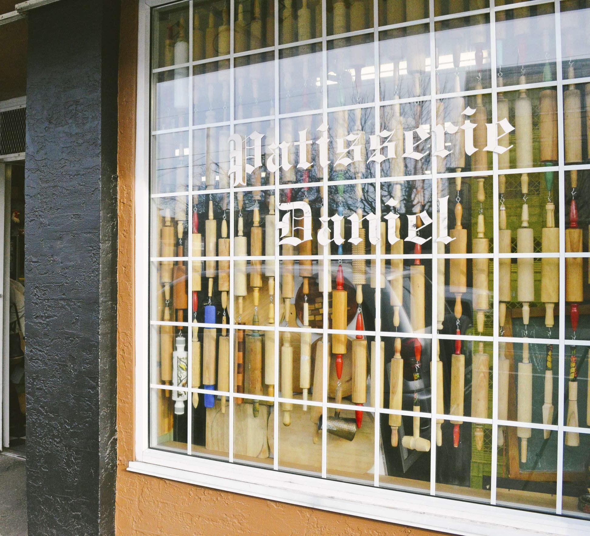
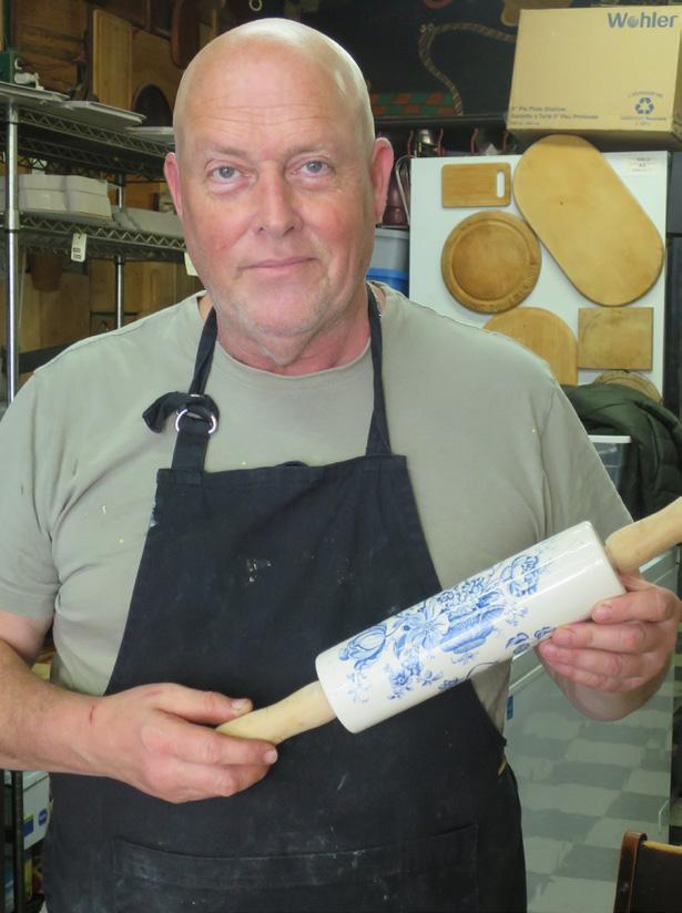
His bakery is festooned with two kinds of kitchen tools: cutting boards and rolling pins. A thousand wooden boards form an odd kind of wallpaper— their many shapes and colours cover the walls; the rolling pins hang in rows in the shop’s front windows forming unusual curtains. “One customer gave us a cutting board, then another brought a rolling pin and these started both traditions,” said Daniel. “Each item has a story.”
Daniel hails from Montreal and started baking with his uncle at a St. Rémy hotel. During a Victoria holiday, he
noted a scarcity of bakeries, presenting a business opportunity. After arriving in BC’s capital, he began making pastry in Murchie’s venerable tearoom, but in 1992 he launched his own bakery. The mostly sourdough breads he and his crew of 22 bake every day are sought after, brioche and croissants are favourites, and I swooned over florentines made of honey, almonds and chocolate. The website description and photo of the Pamona—“light vanilla sponge cake perfumed with orange brandy, orange zest, sliced pears with a delicate pastry cream, decorated with marzipan fruits” makes me salivate. His cakes can be prepared to be gluten-free, vegetarian or vegan. His savoury lamb pie takes four days to make.
“What’s your favourite bakery item?” I asked Daniel. “Happy customers,” he said, smiling
1
Daniel Vokey, of Patisserie Daniel, with a rolling pin and cutting boards from his collection.
24 • BC MAG
2 Origins
Pandora Avenue, Victoria
Tara Black, who owns Origins in Victoria, grew up in Sparwood, BC, and took cooking classes in high school. She moved to Courtenay at 19, apprenticing in several restaurants. “It turned out I just didn’t like line cooking,” she said. “Too repetitive, but I loved the pace of pastry making. It’s a special kind of chaos, never boring.
“At home my mum, grandmother and aunt savoured healthy, slow food,” she said. “They gave me the foundation for making and sharing food.” After relocating to Victoria, she trained with Patisserie Daniel. Then she saw an opportunity: baking gluten-free products for an underserved group—those with celiac disease and those who’re glutensensitive.
Before opening a formal bakery, Tara and a then-partner tested the market for gluten-free baked goods with a stall at the historic Bastion Square Market. Would customers buy their wheat-free items? Indeed, so many people bought
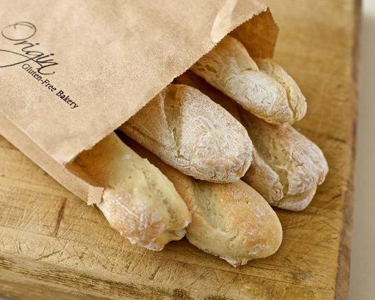
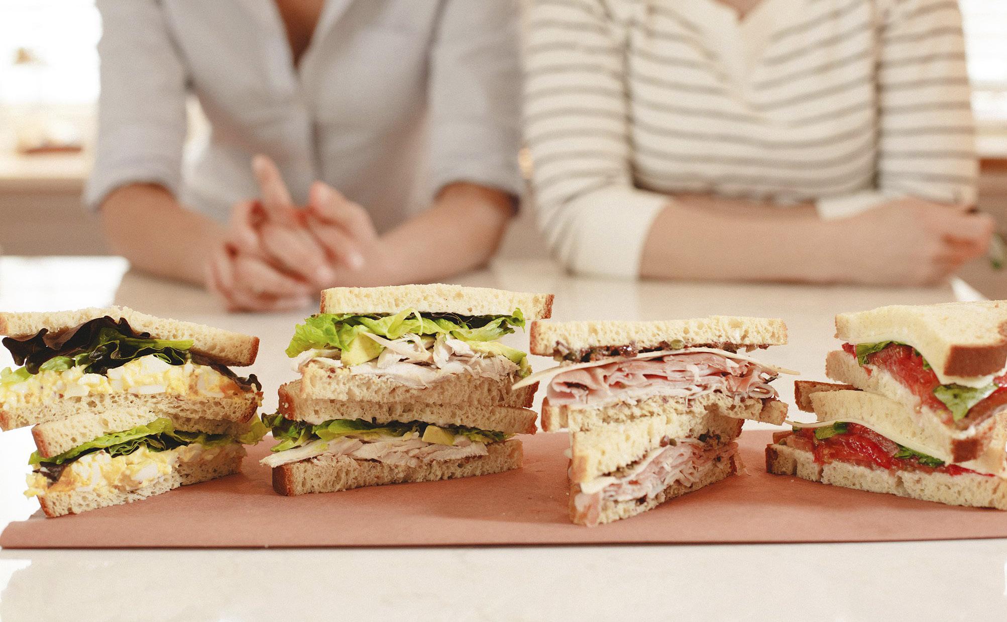
their GF products they were able to open a storefront called Origins within six months. Tara says her premises are absolutely gluten-free, even the cutting boards, mixers and knives that cut dough. “I sell doubt-free safety,” she says.
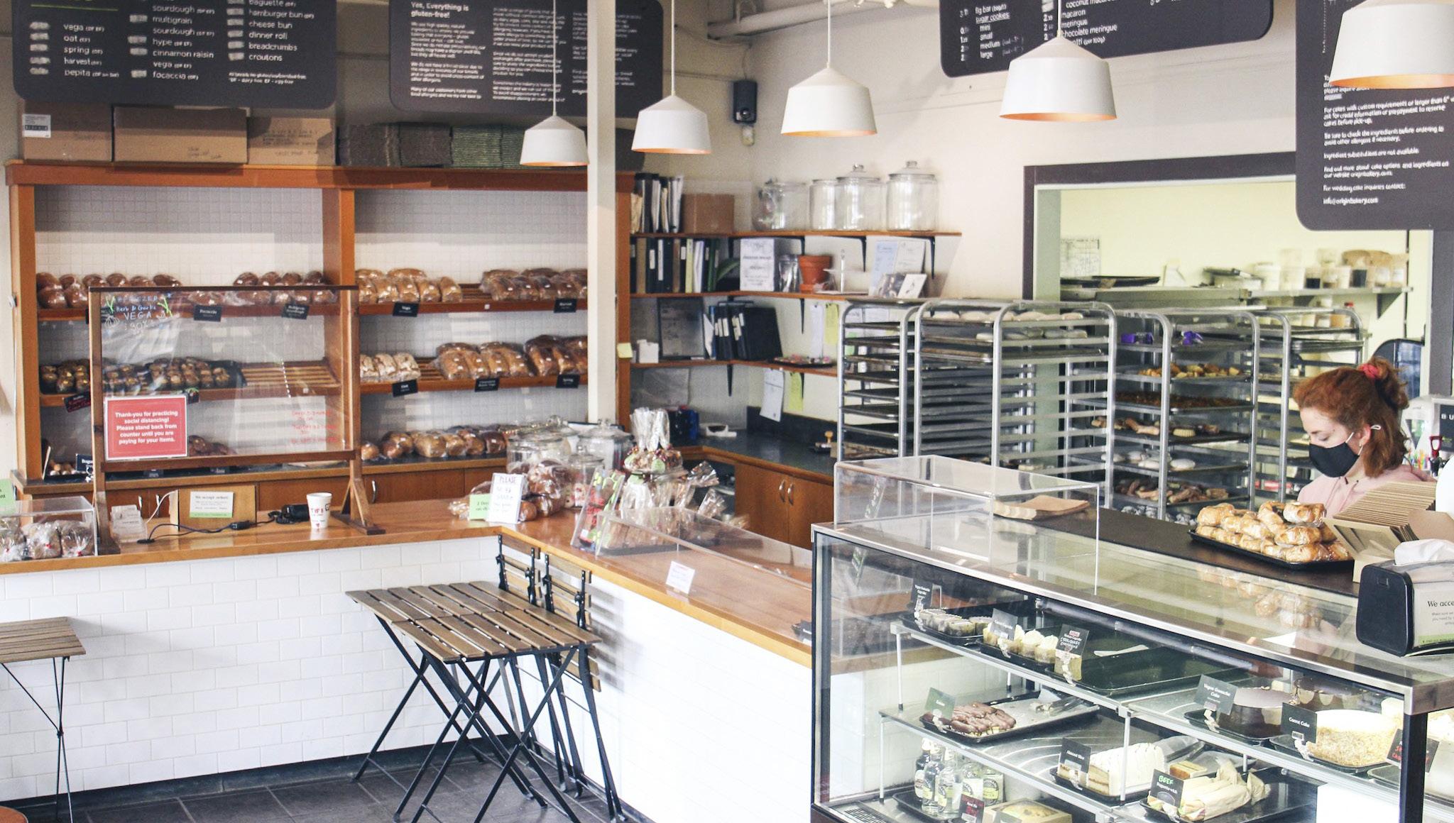
To achieve a pristine environment, Origins uses a variety of globally sourced gluten-free grains including sorghum, amaranth, millet, buckwheat and tef. Traditional sourdough bread, vegan chocolate cake and carrot cake are the most popular fare, but seasonal specials such as an Easter nest cake with lemon curd and buttercream, topped with toasted coconut and meringue eggs fly off the shelves.
Origins has opened another bakery in Langford and now ships products across Canada. Tara prizes her team of bakers, which includes two daughters. “Running bakeries is hard work,” she says. “We begin at 5:00 a.m., but it’s worth it. It’s so good to see people, even those who cannot digest gluten, enjoy breads and pastries.”
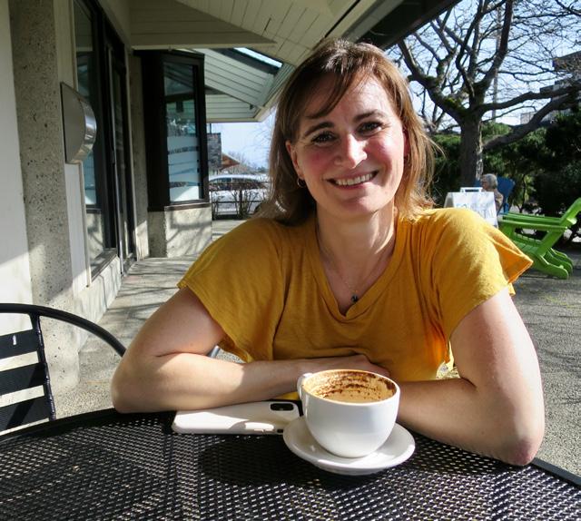 Tara Black of Origins.
BC MAG • 25
3 Wildfire
Quadra Street, Victoria
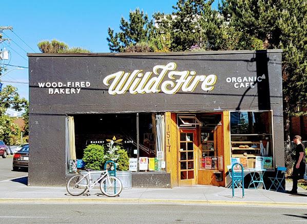
To ensure her breads and pastries use the right organic grains, Wildfire Bakery owner Erika Heyrman opened the Nootka Rose Milling Company in Metchosin, BC. The mill stone-grinds fresh BC-grown grains such as barley, spelt, einkorn and other forms of ancient wheat. Other local bakers buy their organic flours from Nootka.
Erika has run her bakery for 25 years,
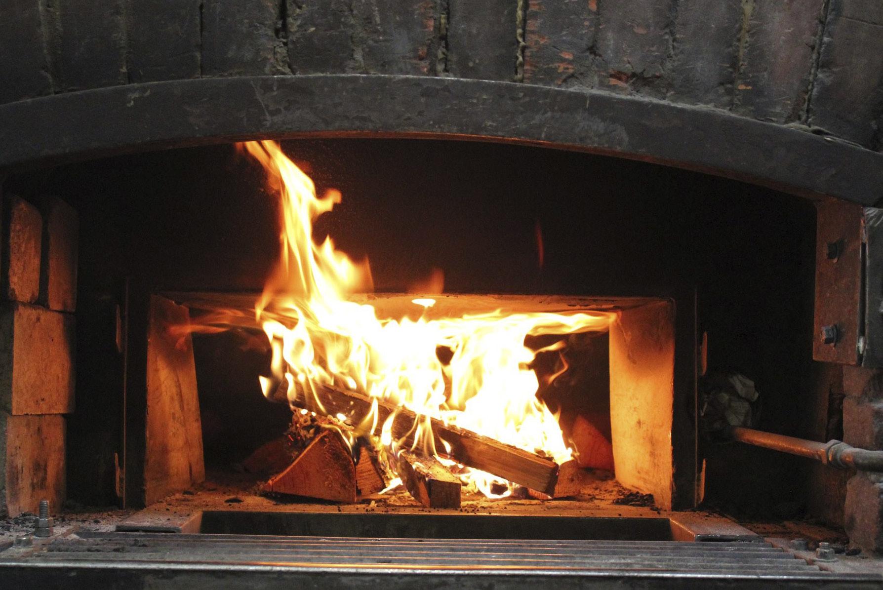
starting with a brick oven on her driveway and selling her products at the weekly Moss Street Market. “We had a very reliable demand,” she says, “there weren’t many artisan bakers around then. We then moved to our permanent location, once a 1950s small grocery, where we produce everything by hand and from scratch.” A variety of regional supermarkets also carry her breads.
“Baking is a demanding profession,” she tells me. “Our staff ranges from 15 to 24 and work on rotating shifts. Prep takes place during the day and evening, and then at 4:00 a.m. we fire up the ovens. Bread is our top seller with rustic
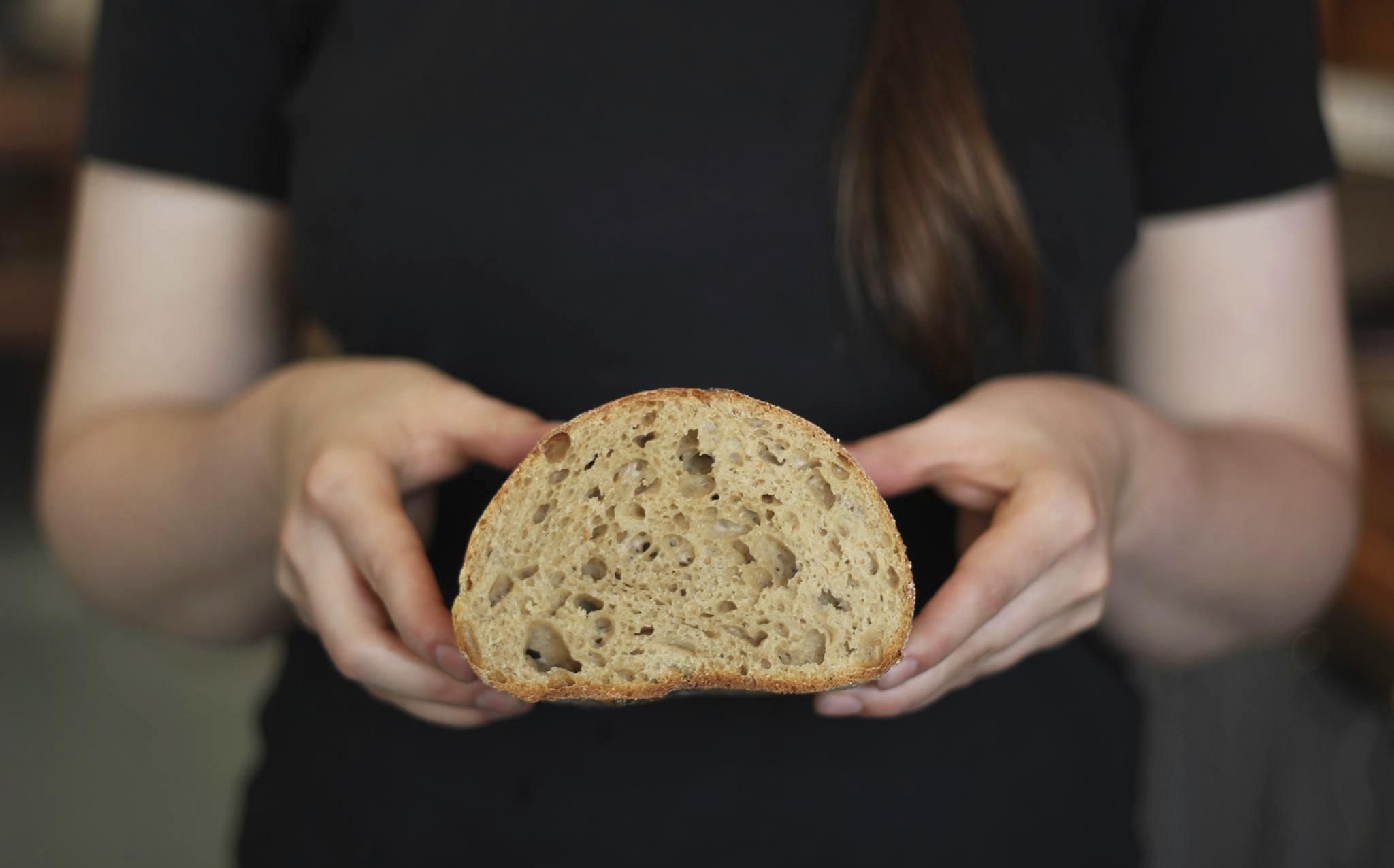
white sourdough being the most popular.” She notes that vegan chocolate cake is in demand, and the bakery also makes cakes to order. Her own favourites are a hazelnut-pear tart and three-seed sourdough that includes sesame, sunflowerand flax seed.
Asked what advice she has for aspiring bakers, she mentions that they should be transparent about the ingredients used, but also have a business sense. “Profit is low,” she said, “and the work can be physically taxing, with lots of lifting and repetitive motions. But I’m proud of literally feeding my community with genuine products. It’s super valuable.”
26 • BC MAG
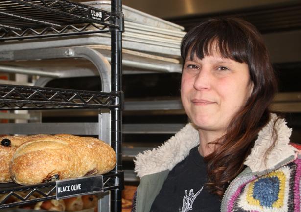
Wildfire's Erika Heyrman with some of her best-selling bread.
4 Stark Raving Bread
Saturday Moss Street Market, Victoria
Josh Houston is surrounded by black plastic boxes in which he transports his breads and pastries to a Victoria institution—the Saturday Moss Street Market—where he sells his baked goods each week. When I arrive at his stall at noon, he’s nearly sold out. (Fortunately, he still had a maple-pecanbutterscotch cookie I demolished.) His unique products include herb-and-seasalt focaccia, smoked sprouted-rye sourdough and, just to make it really sour, sauerkraut rye sourdough. His loaves bake in cast-iron Dutch ovens on Friday night.
He differs from other bakers in that he’s home-based—his converted garage in Sooke is a full-fledged bakery, where he feeds his sourdough and bakes while listening to podcasts and music.
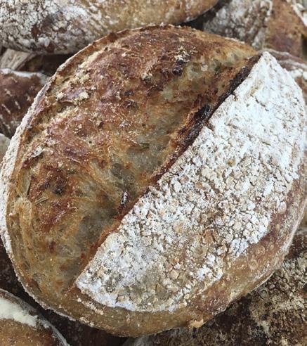
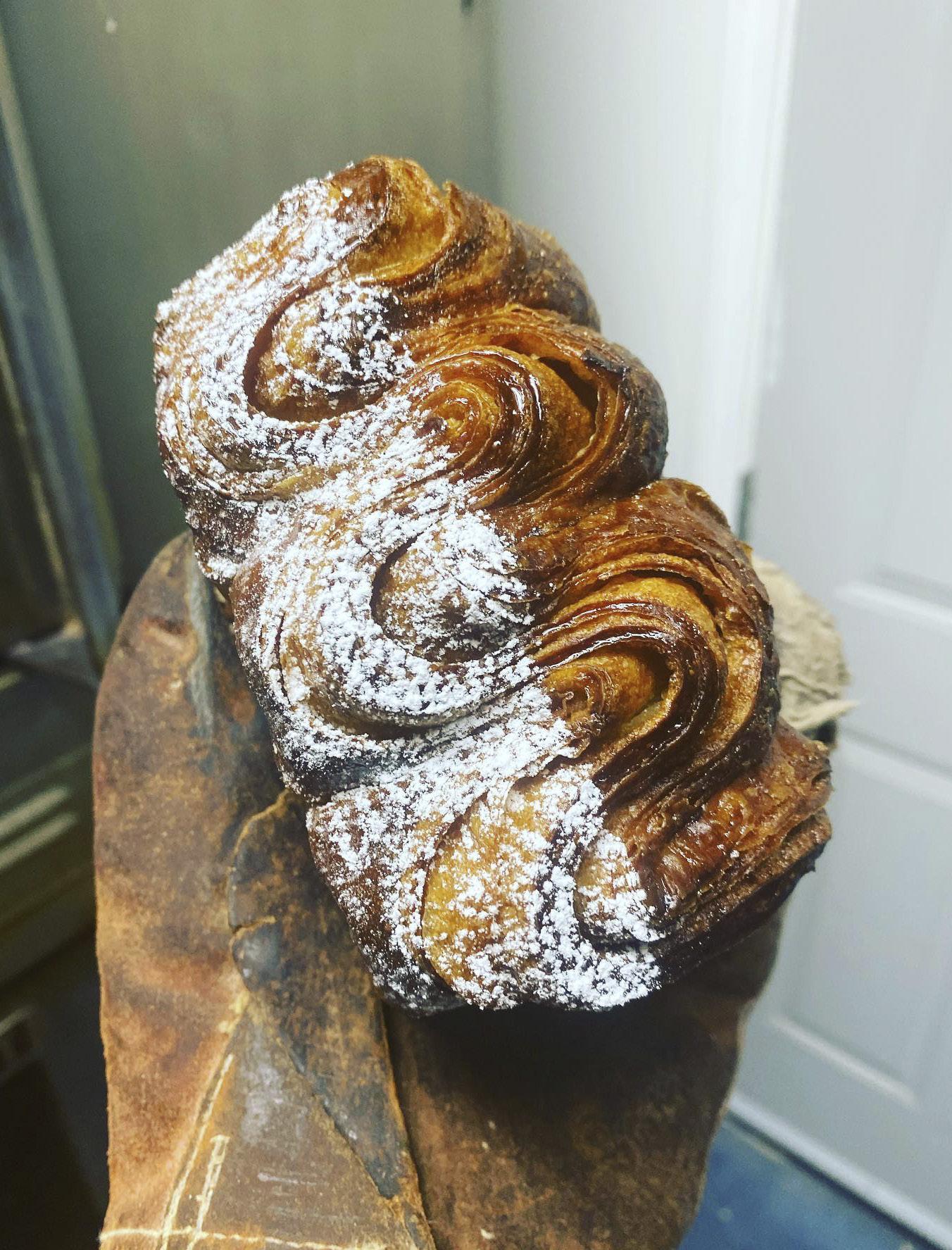
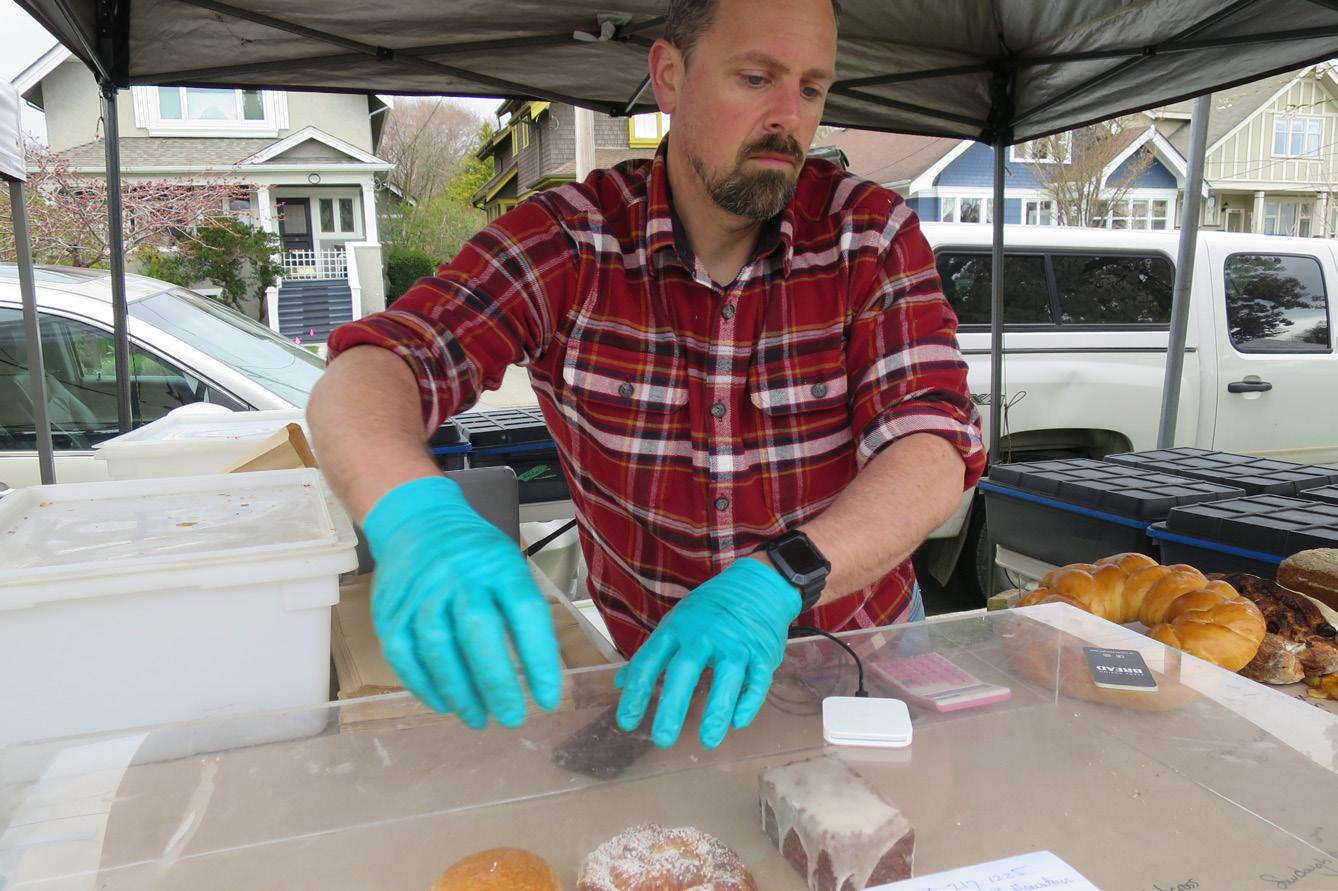
He spends his week getting ready for the market—his only outlet except for special orders. The slim 42-yearold once worked as a chef but when he and wife Christine started their family, Josh realized a chef’s life was incompatible with family life. He then taught culinary arts—especially baking—at Esquimalt High School. In 2018, he began home baking as a hobby. Then Covid-19 shut the schools and the demand for his baked goods exploded. “Many older people didn’t go out shopping and I delivered,” he said. “I’d bake between 150 and 200 loaves a week.”
Today, he continues to bake solo to a schedule he keeps in his head, although his daughter (five) pitches in and son (nine) has his own business taking care of the chickens and eggs. His organic, locally grown grains—rye, red fife wheat, oats, barley, einkorn, emmer and spelt— are milled at Metchosin’s Nootka Rose Mill while his white flour originates in Saskatchewan. Asked what he’d like to be doing in five years, he answered, “exactly what I’m doing today.”
BC MAG • 27
Stark Raving Bread's Josh Houston at the Moss Street Market with just a few pastries left.
5
True Grain
Cowichan Bay
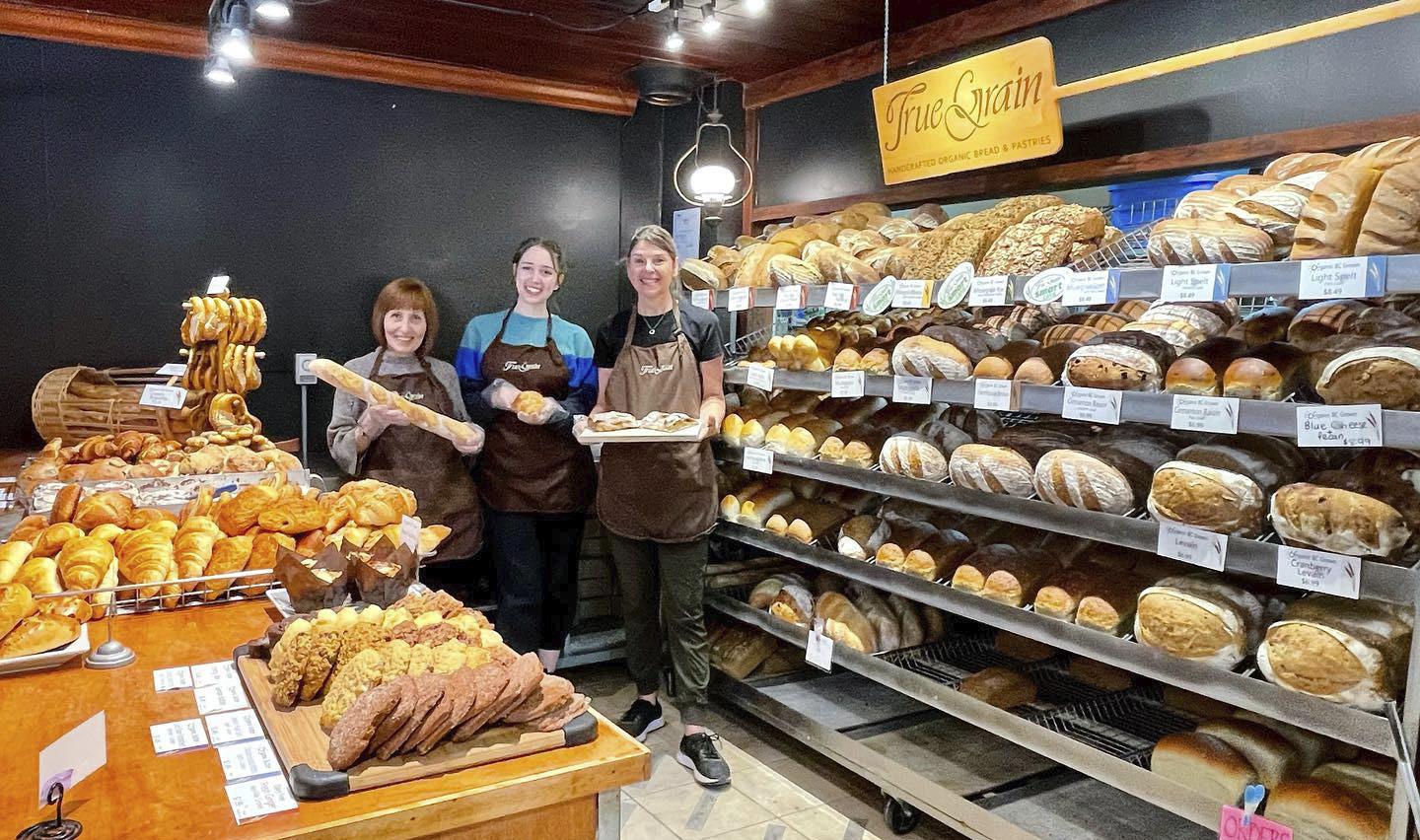
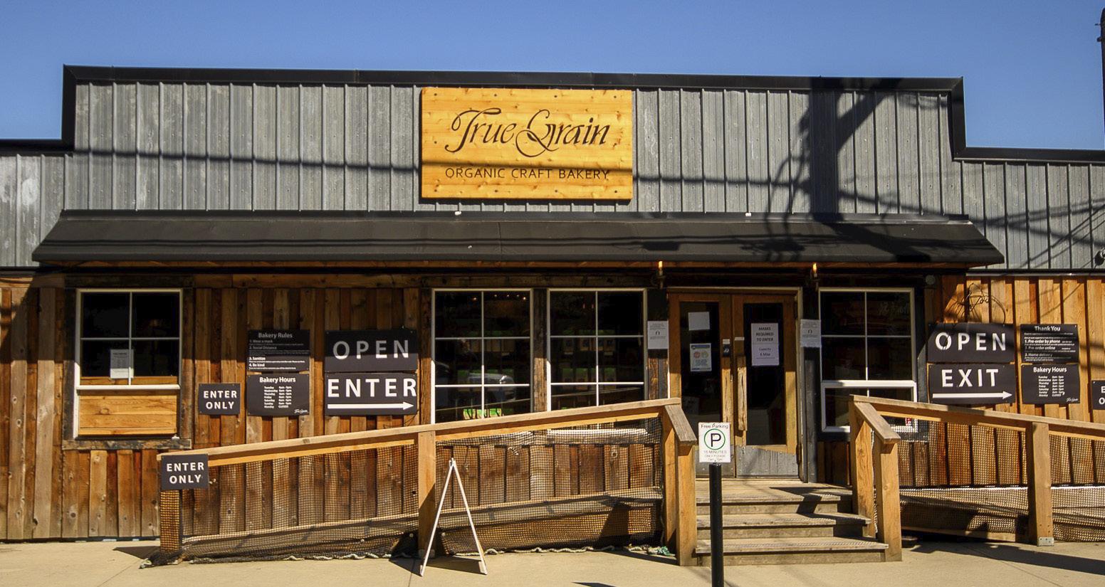
When I enter True Grain in Cowichan Bay, the heady scent of baking bread and pastries is pervasive. I inhale deeply; it smells like home and comfort. Racks laden with loaves of all kinds, including organic red fife cracked grain, khorasan and others encrusted with seeds line up behind the counter. Trays with scones, croissants, thickly frosted cinnamon buns and butterfly pastries entice the constant flow of customers. Baguettes and German pretzels are also on the menu.
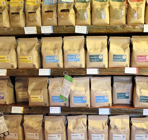
True Grain co-owner and president Bruce Stewart fuses his baking philosophy with environmental practices. The multiple grains they use are organic and stone
ground at the bakery. No additives, sugar or oil. “Our bakers are craftsmen,” he said.
“We mix everything by hand. The baker has a relationship handling the dough that can’t be replicated by a machine. Our dough is allowed to rest so the flavours can develop. We have 12 to 15 bakers depending on the season and they’re cross-trained on bread and pastries.” Bruce’s wife Leslie co-owns the business and their two young daughters, Monica and Fiona, “help dad stack stuff and see how hard everyone works.”
Bruce heads the Italian-founded movement “Cittaslow,” an organization inspired by the slow food movement. Its goals focus on high-quality local food and drink, while opposing “fast food anywhere North America.”
Bruce previously bought Saskatch-
ewan grain, but judged the diesel used to deliver it too polluting. His biodegradable bread bags cost five times plastic ones. Today all grain comes from BC’s organic farmers, which includes khorasan, spelt, emmer, einkorn and rye. Those who wish to bake their own bread can purchase ingredients in berry or milled form, as well as pasta, nuts and seeds.
Covid shut down in-store tables, but True Grain opened a café next door. Bruce shares his business savvy with other small businesses. “We support bread entrepreneurs with our products, knowledge and solutions,” he said. “We are mentors and our partnerships with younger people help support BC farmers.”
The Cowichan area has adopted the slogan, “Slow Down, Savour Life.” The True Grain bakery is an example of that philosophy.
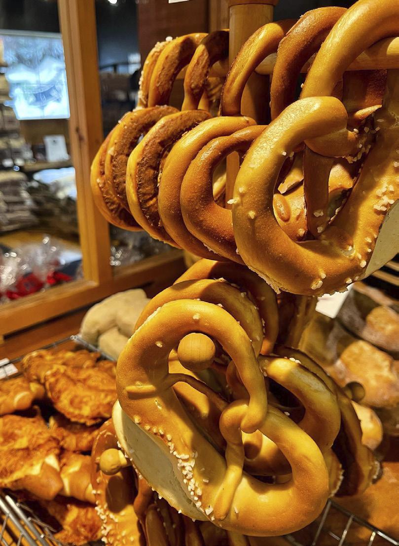
28 • BC MAG
6
Old Town Bakery Ladysmith
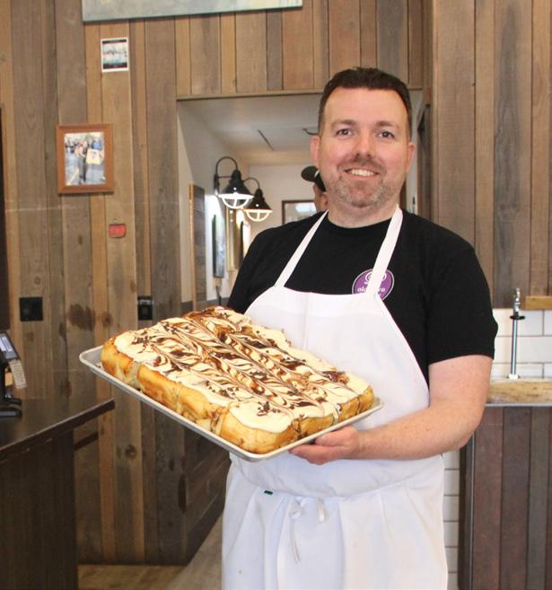
Whenever we travel “up island” past Ladysmith, stopping by the Old Town Bakery is a requirement. Located in the heart of the historic downtown, their multiple varieties of cinnamon buns require early attendance, especially after Times Colonist readers voted their buns to be the best on Vancouver Island. As a result, they’ve expanded their gourmet bun varieties to include cream cheese and sliced almond, blueberry almond, blackberry apricot ginger, even peanut butter cream cheese.
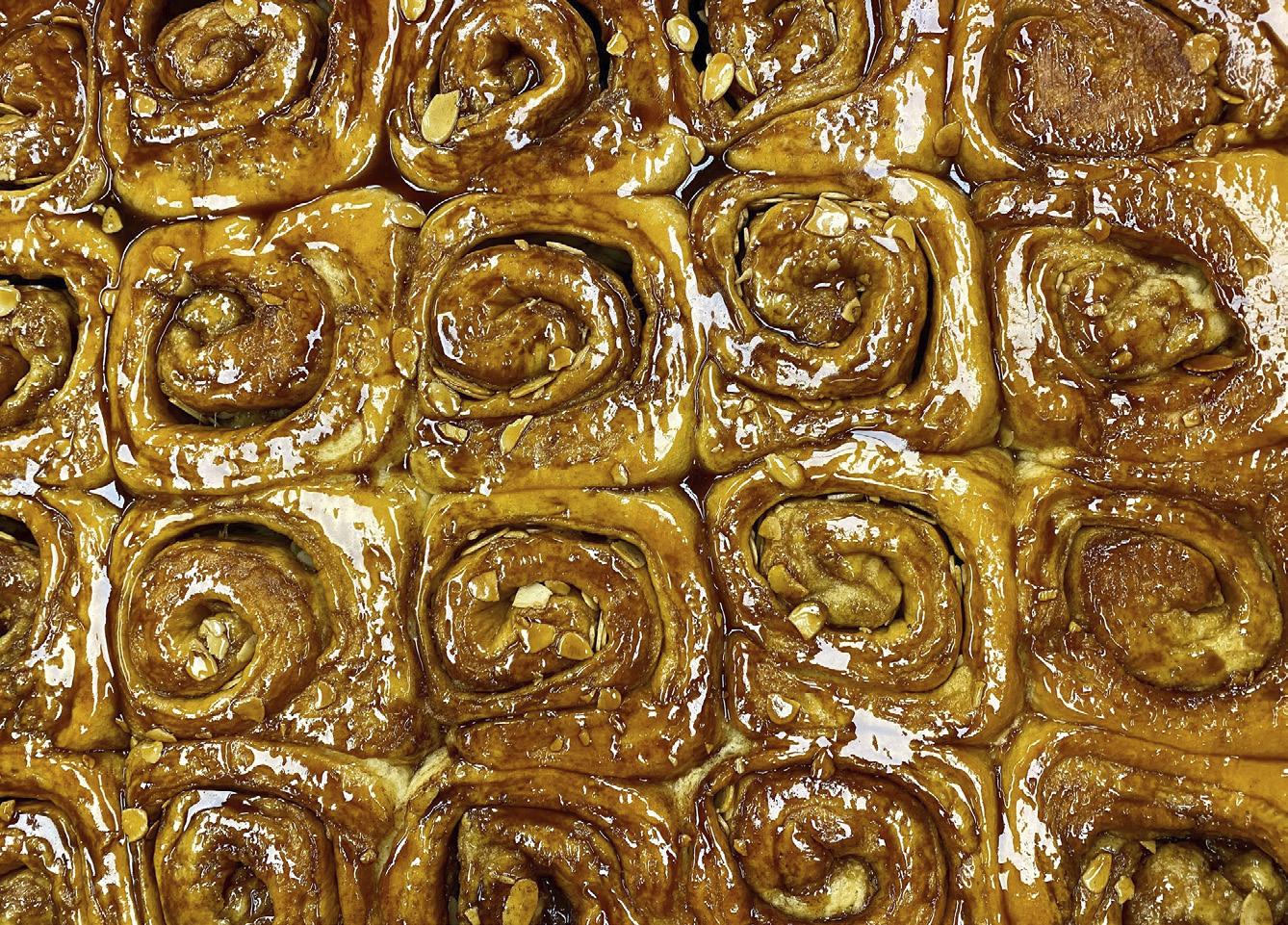
In 1999, Kate Cram launched the Old Town Bakery with her parents, then
moved to its present location in 2002 where a bakery had existed since 1932. Husband Geoff Cram joined in 2005. Kate had always felt passionate about cooking and baking, so her dad arranged for her to attend the New York-based Culinary Institute of America, where she spent two-and-a-half years perfecting her gastronomic art. Geoff came from a graphic design background and learned baking by doing.

The bakery’s philosophy is straightforward: to create delicious items from scratch using traditional wheat. Kate adds that their secret ingredient is “love.” Some breads use sourdough
starter, others are yeast-based. “We don’t follow trends,” Geoff told me, “just oldfashioned baking, with special cakes for baby showers and weddings.” That said, the pair did expand down the street with a gluten-free restaurant, closed by Covid-19, but reopened as a grocery with GF products. They added the space next door and scoop tasty gelato there. A total staff of 68 are employed by the three stores—significant for a town the size of Ladysmith.
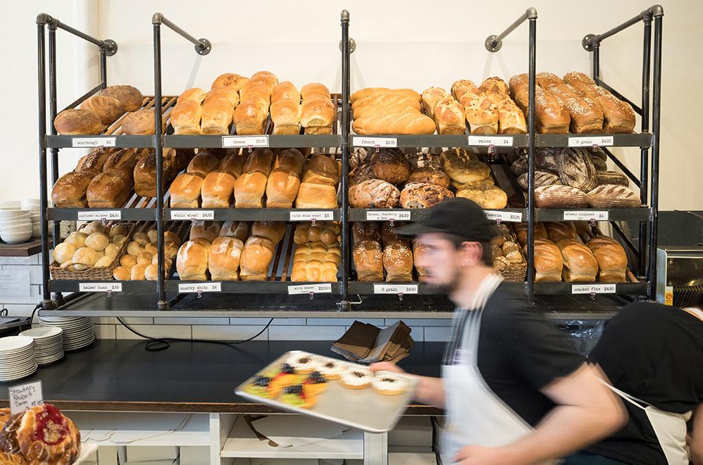
The bakery itself has a public section with display cases and tables, but its other side, recently renovated by son Seth, shows the long table where dough is prepared. It’s visible to the public. Like the other bakeries, crew arrive between 2:00 and 5:00 a.m. The most popular breads? Plain or seeded sourdough.
I asked Geoff for his favourite confection. “It’s an old prairie mainstay,” he said. “It’s a confetti square with marshmallow, peanut butter, butterscotch chips and cornflakes. It’s ridiculously sweet.”
BC MAG • 29
Geoff Cram, co-owner of the Old Town Bakery with their famous cinnamon buns.
TAKING HIGH THE ROAD
 BY RICK HUDSON
30 • BC MAG
SUMMER TRAVELS ON THE ALASKA HIGHWAY
Rick Hudson
BC MAG • 31
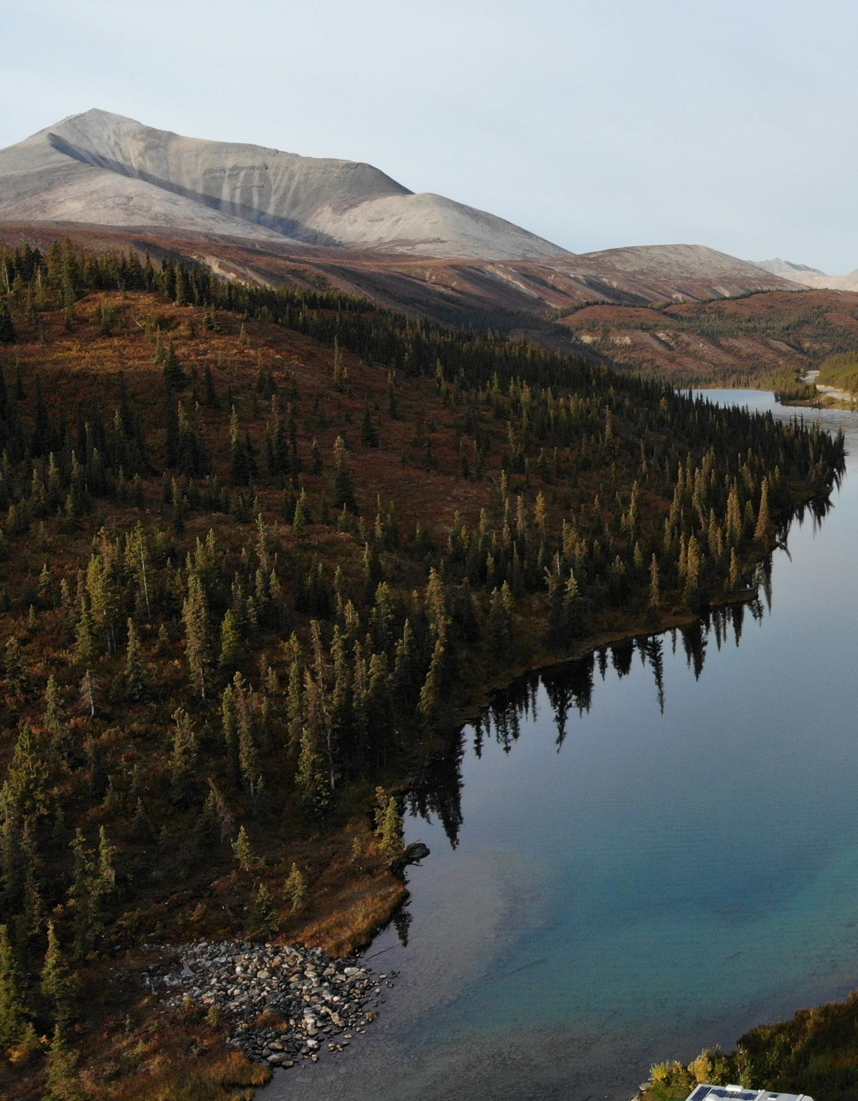
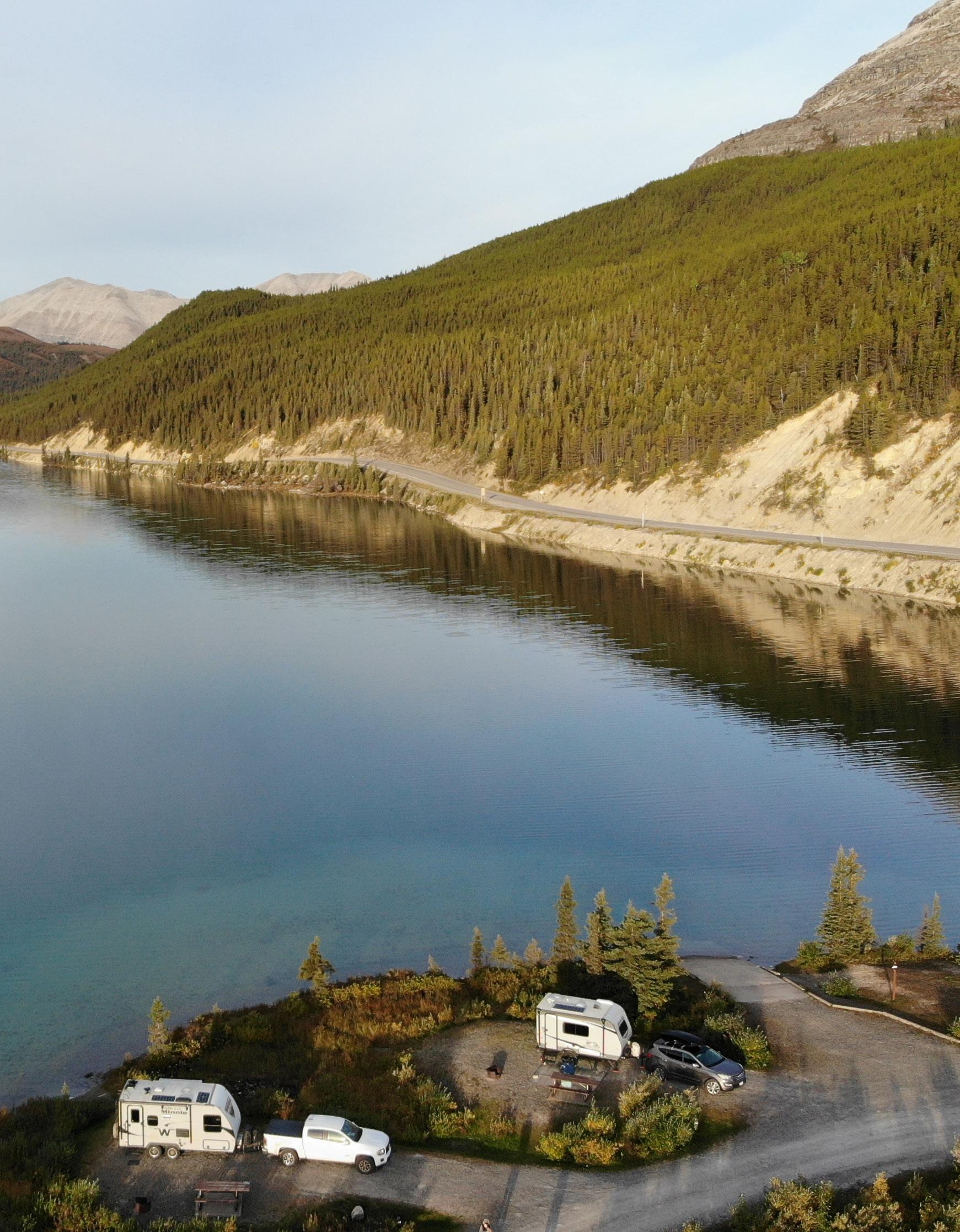
Summit Lake in August. The campground is a good stopping area for numerous local hikes.
Summer’s coming, and that means it’s time to hit the road again. And what road is more iconic, more panoramic, and more majestic than the Alaska Highway? It’s long, it’s remote, and it has an aura about it that deserves its reputation as one of the great road trips of North America. Archie says it might be the greatest of them all, but then Archie’s like that at times.
The driving is huge, as you’d expect in a province that’s bigger than France and Germany combined. Put another way, you could drop California, Oregon and Washington into BC and still have room for Maine. So, driving the highway north is a big commitment and shouldn’t be taken lightly. Spring storms can linger into June, and fall whiteouts can start as early as September.
So, most summer visitors tend to push it, anxious to cover the long distances in the shortest time. The highway’s official start is Dawson Creek (named for the Canadian geologist George Dawson). That’s ‘Mile 0’ or ‘Km 0’. There’s almost 1,000 kilometres on Highway 97 to the Yukon border. From there it becomes Highway 1 for a further 930 kilometres to the Alaska border. And from there… well, it’s a long way to anywhere, depending on your plans. Overall, it’s 2,400 kilometres or 1,500 miles from Dawson Creek to Fairbanks.
All of which explains why most folk just put the pedal to the metal and in doing so, miss a lot of interesting side trips. Archie wants to expand our minds and is encouraging us to slow down and smell the roses. Or balsam fir. Care to tag along?
THE HAPPENSTANCE HIGHWAY
The Alaska Highway was built in a rush by the US Army Corps of Engineers in 1942 in response to the bombing of Pearl Harbor in 1941. There was an imminent
Sthreat of a Japanese invasion through the Aleutian Islands in Alaska, and the traditional sea route from Seattle to Anchorage was threatened by enemy submarines.
Given the limited construction time, it was an engineering feat of staggering proportions—1,478 miles (2,365 kilometres) of gravel laid in two years at a cost of close to $123 million, or $83,000 per mile. And those were real dollars back then.
The route chosen was neither the cheapest, the best surveyed, nor the easiest. It was the route that linked the most airfields, which were of strategic value to the allies during the Second World War. They had been built in 1941 to provide air support to the Soviet Union, which had already opened an Eastern Front against Japan.
The highway and associated infrastructure (buildings, bridges, airstrips, etc) were sold to Canada at war’s end for $108 million and taken over by the Canadian Army in 1946. Substantially re-built, it was opened to the public in 1948 and paved end to end in 1992.
GETTING STARTED
North of Mile 0 the road empties. The oil and gas service trucks dwindle and it’s just the RV crowd and an occasional long-haul tractor-trailer. The boreal forest appears as the wheat and canola fields disappear. From Fort Nelson the highway turns west and starts to get interesting. Because we’re in BC, the distance posts are in kilometres, which don’t quite match the old milepost signs, partly because the road has been shortened periodically, and partly because although Mile 0 is at Dawson Creek, the kilometre posts were installed starting at the Yukon border and working backwards. “Isn’t that just like a government?” asks Archie rhetorically.
Passing Tetsa Lodge (Kilometre 572) on the river of the same name (‘best cinnamon buns in the galaxy’) the watercourse splits and the highway follows the North Tetsa River upstream. The road tops out at Summit Lake (Kilometre 598), the highest point on the Alaska Highway. We’re at 1,300 metres (4,250 feet) above sea level. Archie has a warn-
ing. “Came here one May,” he says, “and the lake was frozen solid. The wind came through that gap in the mountains like a freight train. It’s not a good place to be caught in bad weather.”
HIKING IN THE SUMMIT LAKE AREA
Nevertheless, he advises we’ll be stopping for a few days. Why not? The
32 • BC MAG
Phee Hudson
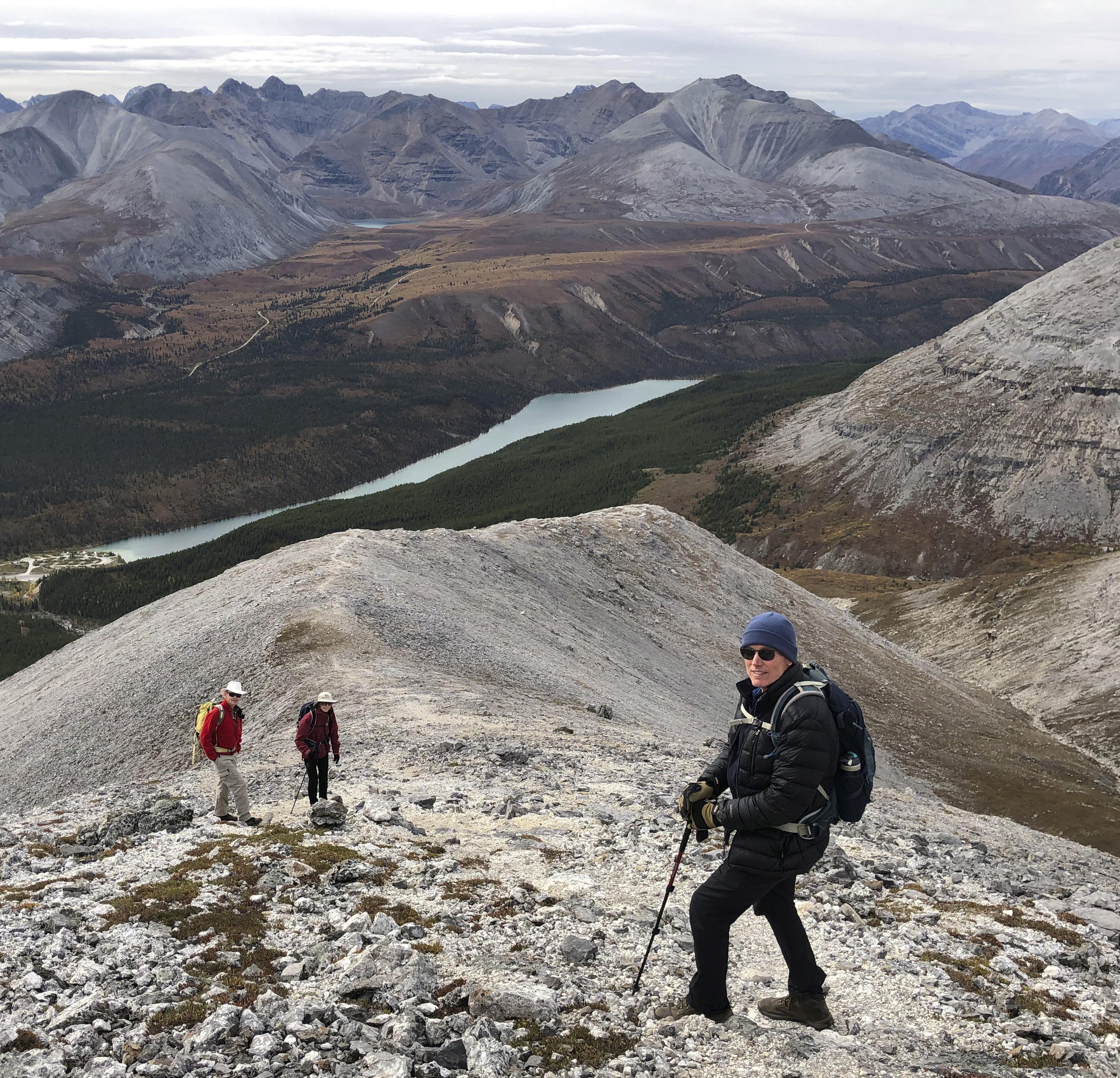
View from the first high point along the Summit Ridge Trail. Summit Lake and Mount Saint George are visible off to the right.
campground (28 sites) is next to the lake, close to the highway, and surrounded by superb hills and snowcapped peaks. There are water taps, picnic tables, fire rings and outhouses. It’s open May 1 to September 16. Today the sky is blue, the lake’s surface unruffled by breeze. There’s a concrete boat launch if you’re interested in rainbow
and lake trout and mountain whitefish. Archie has more energetic pastimes in mind. Across the highway is the Summit Peak Trail, opposite the campground. There are three options. If your energy level is low, it’s worth hiking half a kilometre into the valley. The trail climbs out on the opposite bank and follows the edge of a forest. There are numerous places where
you can drop down to the river, to smooth limestone rock slabs to sunbathe out of the wind, or swim in the pools.
For the more energetic (“Let’s keep going,” shouts Archie from the back) the trail clears the pines after a kilometre and starts to climb. The path is obvious and once out of the trees the viewscape opens up. It’s no wonder this is one of the
BC MAG • 33
most popular hikes along the highway.
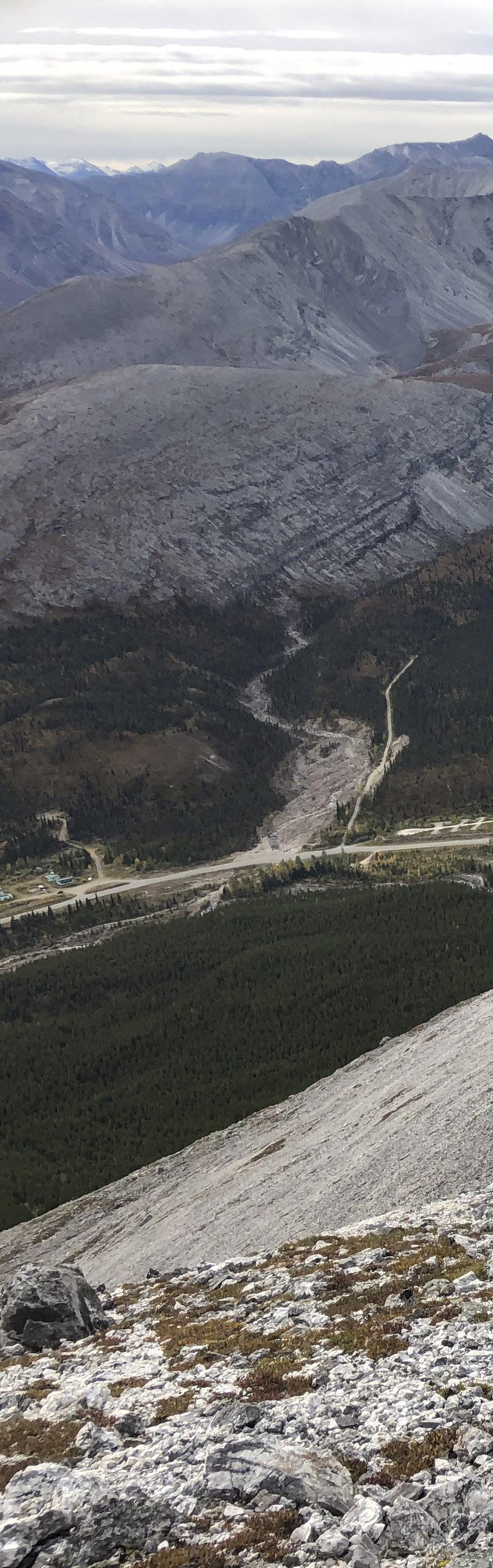
There’s no cell coverage at Summit Lake campground, but about halfway up the ridge there’s a spot next to a rock wall where, curiously, all our phones go ping! We pause to catch our breath and reach out to someone far away. Then it’s back on the trail, gaining height steadily. The distance to the first high point (1,981 metres) is 3.5 kilometres one way from the road, with about 700 metres elevation gain. Happily, because it’s so open, you can turn around anywhere without losing much in terms of a view.
Near the top, the limestone is so pure that perfectly formed calcite (the basic building block of limestone) lies in the path in crystal shape, like Lego blocks. At the first high point, most sensible folk turn around, says Archie. The true summit of Mount Saint Paul (2,125 metres) is still a long way off, although it looks deceptively close. Ahead is an undulating ridge forming a giant U to the top, but is still four kilometres away with a 350-metre gain.
To discourage any thoughts in that direction, Archie draws our attention to the view back over the highway to Mount Saint George (2,256 metres) beyond Summit Lake. It’s a great panorama. Positioned as we are just off the main line of the Northern Rockies, there’s a broad perspective of this end of the range stretching almost 5,000 kilometres from New Mexico in the south to just north of us.
The following morning, we hike the gravel road that leads south from near the campground. The road is gated but mountain bikers can bypass it and ride to the microwave tower about six kilometres away. Much of the terrain is low alpine bush, so views are good.
Archie has other plans. We pass the gate and walk about two kilometres up the road to the Flower Springs trailhead at the first hairpin. There’s a registration desk and a path leading southwest up the valley towards the mountains. After another three kilometres, we reach Flower Springs Lake. In early summer (late June to early July) the flora in the valley and around the lake are spectacular. By midAugust the meadows start to put on their autumn colours of gold, yellow and red,
and the valley is equally colourful.
Archie will have none of this glorified shrubbery. We must go further. The valley beyond the lake divides. The left arm terminates below impressive cliffs of an unnamed peak (2,384 metres). Taking the right arm leads to two small lakes and a waterfall under the slopes of Mount Saint George.
THE BIG PICTURE
Stone Mountain Provincial Park is a tiny northern add-on (257 square-kilometres) to the much bigger Northern Rocky Mountains Park (6,660 square-kilometres). This is untracked wilderness with barely a road anywhere, apart from the highway. The region comprises tilted sedimentary rocks, mostly dolomite (calcium magnesium carbonate), that formed underwater in the Pacific Ocean during the Devonian Period (360 to 420 million
to show us McDonald Valley tomorrow. It’s just a few kilometres downhill to the west from Summit Lake, and comes into view on the left beyond Mount Saint George. The valley is extraordinarily wide for such a small creek, until Archie points out that it’s the remnant of an ancient glacier that once filled the entire basin. What we are seeing is the ghost of a giant that drained the mountains over Summit Lake and down the North Tetsa River. Archie waxes eloquent about the good old days, when ice was real ice, and it took a week to trot a polar bear across those glaciers.
For a short walk (one-kilometre round trip), stop four kilometres west of Summit Lake campground at Kilometre 603 (Mile 376). Pull off next to a small lake on the left-hand side of the road. The Erosion Pillar Trail begins on the opposite (north) side, marked by a rock cairn and winds gently through trees. Near the end it climbs a short incline to the base of a 10-metre-high rock pillar that closely resembles a giant phallus. From beyond the pillar there are good views with Mount Saint George in the background.
years ago) and was then uplifted in the Cretaceous (80 to 90 million years ago). Keep an eye open for fossils.
Stone Mountain Park is named for the Stone Mountain sheep that you may see along the highway’s verges. Periods of glaciation have ground the dolomite bedrock into ‘flour’ comprising calcium, magnesium, sulphur, phosphorous and sodium. Hoofed animals such as moose, buffalo, caribou, goats and sheep need these elements to grow strong bones, teeth and hair.
Stone mountain sheep were named for Andrew J. Stone, an American hunter and explorer. They differ from the more common dall sheep of the Yukon, and the bighorn sheep found further south. Stone sheep are best identified by their horns— they are smaller and narrower than their cousins. For that reason, they are sometimes referred to as “thinhorns.” Bighorn sheep, famously seen in Jasper and Banff National Parks, are seldom found north of the Peace River.
Back at the campground, Archie is keen
For a slightly longer hike, from Summit Lake campground go eight kilometres west on the highway, where at Kilometre 607 there’s a pullout on the north side, with parking. There, a trail leads upstream into Baba Canyon, labeled on a rock. Depending on the river level, there may be some boulder hopping involved, but the steep sided valley has photogenic limestone walls and easy hiking. In early spring there are many wildflowers, notably lady slipper orchids. There’s not much height gain initially, and you can go just as far as you choose. The first viewpoint is a 5.5-kilometre round trip, the second is 11 kilometres there and back.
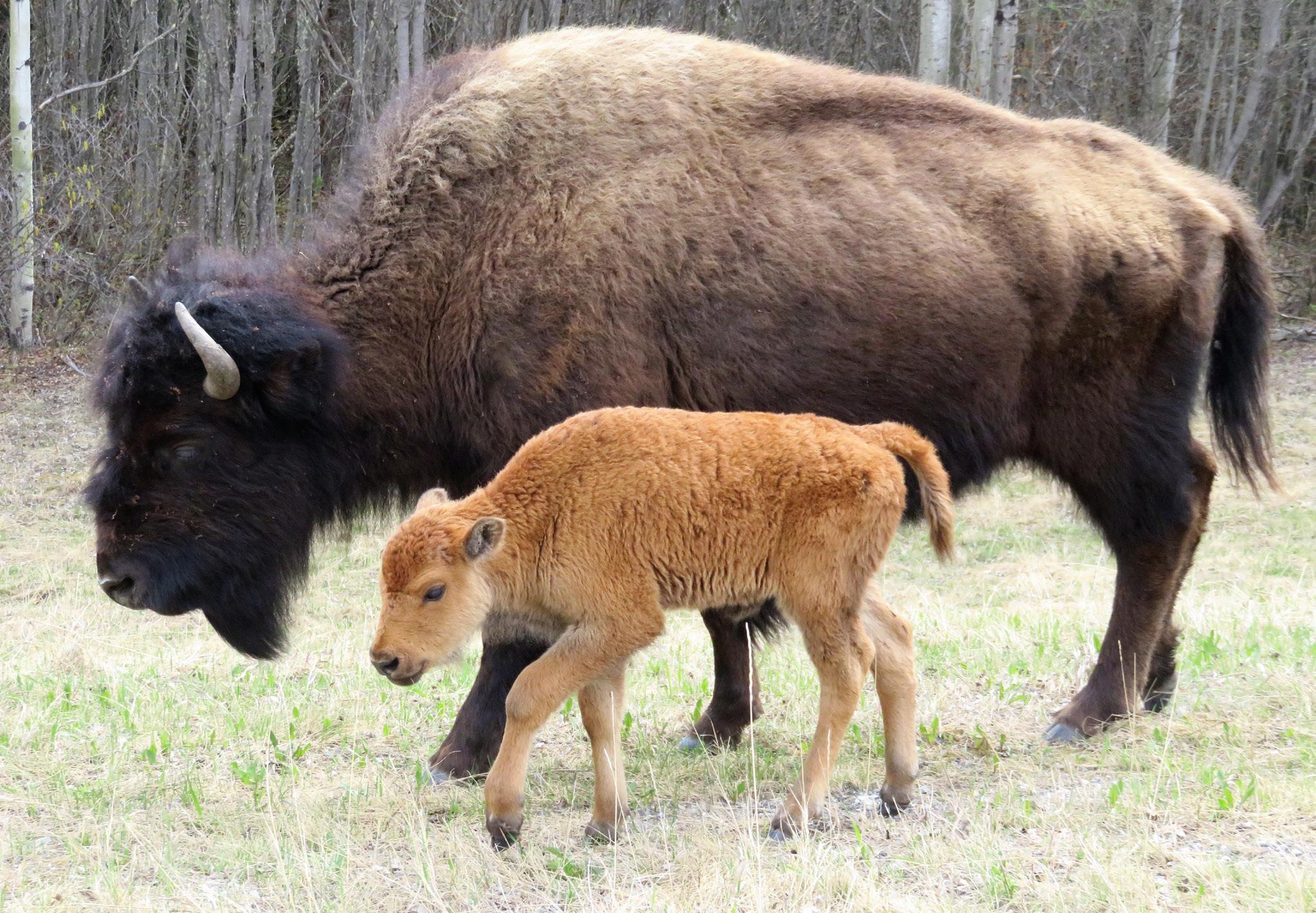
Top: Wood bison are common along the highway at all times of the year. With little traffic sense, in winter and poor visibility they are the cause of numerous accidents. Drive with caution!
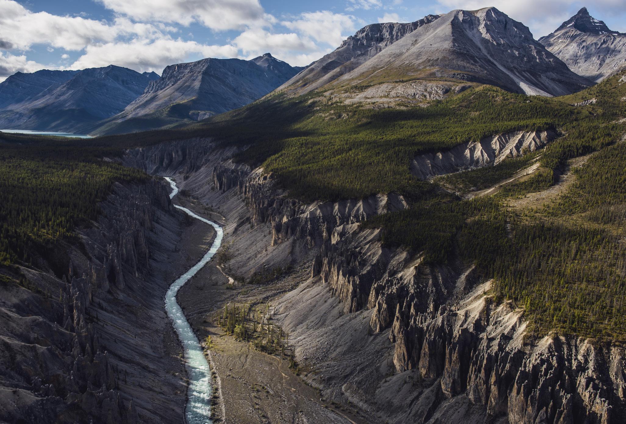
Bottom: It’s a long day hike, but Forlorn Canyon on the Hokkpash River is lined with hoodoos topped with balancing boulders the size of small cars. Hokkpash Lake is just visible beyond.
34 • BC MAG
The valley is wide for such a small creek, until Archie points out that it’s the remnant of an ancient glacier
BC MAG • 35
Destination BC/Taylor Burk Top: Phee Hudson; Bottom: Andrew Strain
GOING BIG IN FORLORN CANYON
Archie tolerates our interest in these short hikes, but promises bigger things ahead. We are going to explore the Wokkpash River Valley—specifically Forlorn Canyon and its hoodoos. At Kilometre
619 (Mile 382), One Thirteen Creek crosses the highway, and a gravel road descends two kilometres to McDonald Creek. There’s no longer a bridge as the Churchill Copper Mine closed years ago, but at low water levels (late summer and early mornings) the river is knee deep and may be crossed with a 4WD. Warning: The region is subject to rainstorms with rapidly rising water levels. Archie reminds us we have to get back too.
On the south side, a 20-kilometre road of varying grade with washouts leads to the Wokkpash River, descending in two big hairpin bends. Just before the descent, there’s a lake on the right that provides a roadside camping area.
From the trailhead above the river, a 70-kilometre backcountry trail leads upriver, across tundra, over mountain
passes, and back to the highway on upper McDonald Creek. It takes four to five days and offers a glimpse of what this incredible region can offer—wildlife (caribou, elk, moose, bear, deer, martens, wolverines and porcupine), wilderness, peaks and river crossings.
Archie has more modest ambitions. It’s possible, he advises, to camp at the little lake next to the mine road. In the morning we’ll do a fast and light dash up the Wokkpash River for 12 kilometres to Forlorn Canyon.
Starting at the trailhead kiosk, the path drops to the river and runs upstream on a bench, staying mostly level before climbing and dropping on the second half of the distance. Forlorn Canyon is a fivekilometre-long gorge lined by 150-metre-
high hoodoos on either side. Hard upper cap stones protect the softer lower strata, creating impossibly tall, narrow spires of crumbly conglomerate that seem in imminent likelihood of collapse. It’s a crazy world of balancing boulders that offers photo opportunities all the way. Although a long hike in and out, it’s so worth it.
If you’re feeling really energetic, Archie says, there’s Wokkpash Lake just beyond, where the fishing is good for dolly varden and bull trout. We decide that’s too ambitious. We return to camp at twilight. Early next morning the river crossing at McDonald Creek is shallow. The 4WD climbs to Highway 97, turning west again. The paving feels wonderfully smooth after the mine road.
There’s a large RV site and fuel stop at Toad River (Kilometre 647/Mile 405), with a path along the reservoir next to the campground. The highway here runs east to west, and some distance to the north is Toad River Hot Springs Provincial Park. Archie asks around. There’s a 12-kilome-
36 • BC MAG
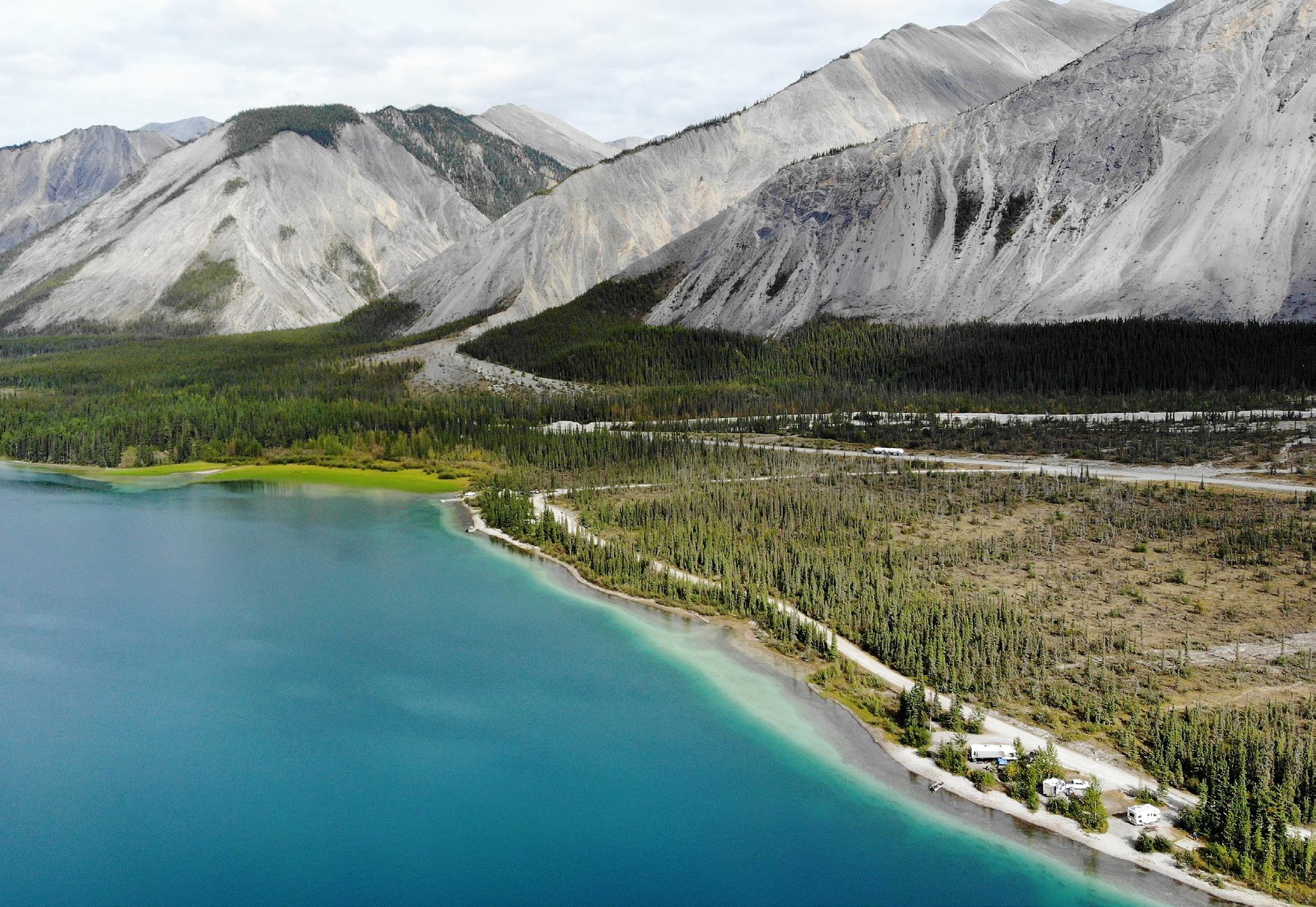
The large jade-green Muncho Lake is a popular camping spot for highway travellers, where lake trout, arctic grayling, bull trout and whitefish may be found.
Rick Hudson
tre trail to hike in, or you can take horses, but there have been washouts along the trail. Alternatively, you might find a river boat to take you down the Racing River and then up the Toad River about a kilometre. The hot springs are on the true left hand side and comprise several pools. There’s a muddy field. Someone advises the mineral lick draws moose and other ungulates. No-one is very sure about the details. Someone else says the hot springs aren’t that great. Maybe next year.
HANGING OUT AT MUNCHO LAKE
By the time we reach Muncho Lake, the highway has swung south to north. Muncho means ‘big lake’ in the local Kaska
language. It’s one of the largest natural lakes in the Canadian Rockies and is said to be over 200 metres deep in places. The jade-green colour is reported to be from copper minerals.
Along the 11-kilometre shore there’s the Northern Rockies Lodge (Kilometre 708/Mile 442) and two nice provincial campgrounds (Strawberry and McDonald). Even as late as Victoria Day the lake can have ice cover. Other years it clears by early April. From the red roofed lodge, there are flights in the summer to Virginia Falls on the Nahanni River 300 kilometres to the north. It’s a long flight, but as Archie points out, it saves a lot of driving to Fort Simpson in the NWT, which is
the traditional access point to those iconic northern falls.
All along the highway we see wildlife on the verges—stone sheep and caribou in the drier regions, herds of wood bison and the occasional scuttling porcupine in the grassier sections. Early in the year the bison look scruffy as their winter coats peel off. They seem placid enough as they graze on the sweet spring grasses that grow close to the road. But looks are deceiving. Large males are over two metres tall at the shoulder and can weigh over 900 kilograms. In winter, in poor light, they are a serious highway hazard, and as many as 15 are killed in road accidents annually. The Department of
BC MAG • 37
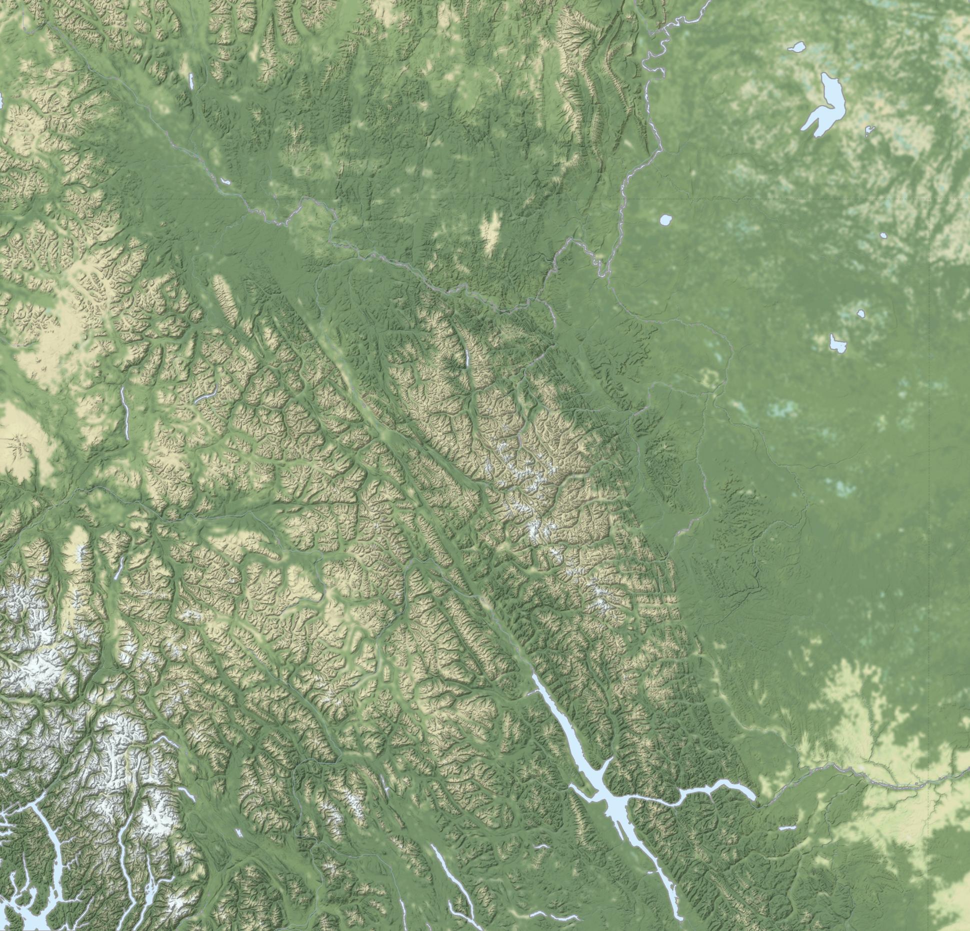
0 50 100 Kilometres 97 Dawson Creek Allen’s Lookout STONE MOUNTAIN PROV. PARK Summit Lake Baba Canyon Toad River Hot Springs Prov. Park Muncho Lake Northern Rockies Lodge Trout River mineral lick Liard Hot Springs Fort Halkett Prov. Park & Smith River Falls Coal River Lodge Whirlpool Canyon Cranberry Rapids NORTHERN RO C K I E S YUKON Fort Nelson Watson Lake 37 77 ALASKA HIGHWAY Area of Enlargement
Highways is trying to reduce those collisions by plowing escape alleys off the highway for them, with some success. “Bison aren’t the sharpest tacks in the mammal pyramid,” says Archie.
We stop at the Trout River mineral lick and walk through flats filled with flowering anemones to the overlook. The river here has exposed a high bank of fine clay, the remnant of a past glacier. Rich in minerals, it’s a draw for animals in the early mornings and late evenings.
As you approach Kilometre 763 you see the stately Lower Liard River Bridge, the only suspension bridge on the highway. (There was another across the Peace River, but it failed in 1957.) Built in 1943 as part of the frantic Alaska Highway construction, this elegant 307-metre-long steel bridge forced the engineers of the time to abandon their usual multi-post construction, because of the river ice. Another curiosity is that it was fabricated from recycled steel— not uncommon in wartime—from the much longer Tacoma Narrows Bridge, built in 1940. That structure collapsed four months after opening to the public. Thanks to rare film footage taken as it happened, the failure is one of those seminal moments in North American engineering and was a lesson to civil engineers worldwide about bridge resonance caused by wind.
Today, the recycled steel stands firm as we cross to the north bank and turn in at Liard Hot Springs. No first trip along Highway 97 should miss this popular destination. There’s a day use fee or overnight camping charge. Both include access to the pools. Archie’s only advice is to avoid long weekends. Despite being a very long way from Fort Nelson and Watson Lake, the place is popular with locals and fills up quickly. You can book online now, and it’s open year-round. If full, there’s always the less interesting overflow parking across the highway.
West of the hot springs, the Smith and Liard Rivers meet (Kilometre 793/Mile 495) at Fort Halkett Provincial Park.
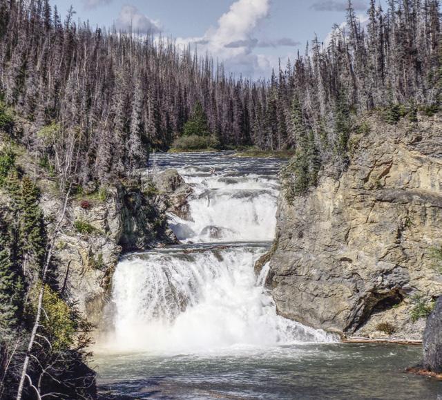
Close to the Liard River on the west bank of the Smith River is an old Hudson’s Bay trading post, now part of the park. Back on Highway 97 and just 300 metres west of the bridge over Smith River is a gravel road leading 2.5 kilometres north to a viewpoint over Smith
LIARD RIVER HOT SPRINGS PROVINCIAL PARK
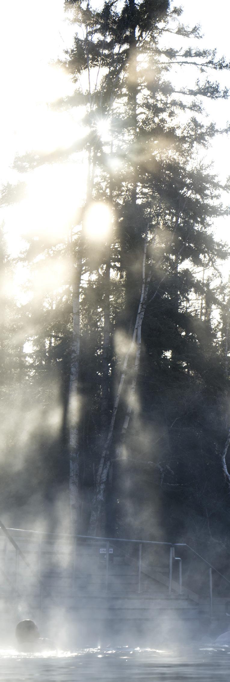
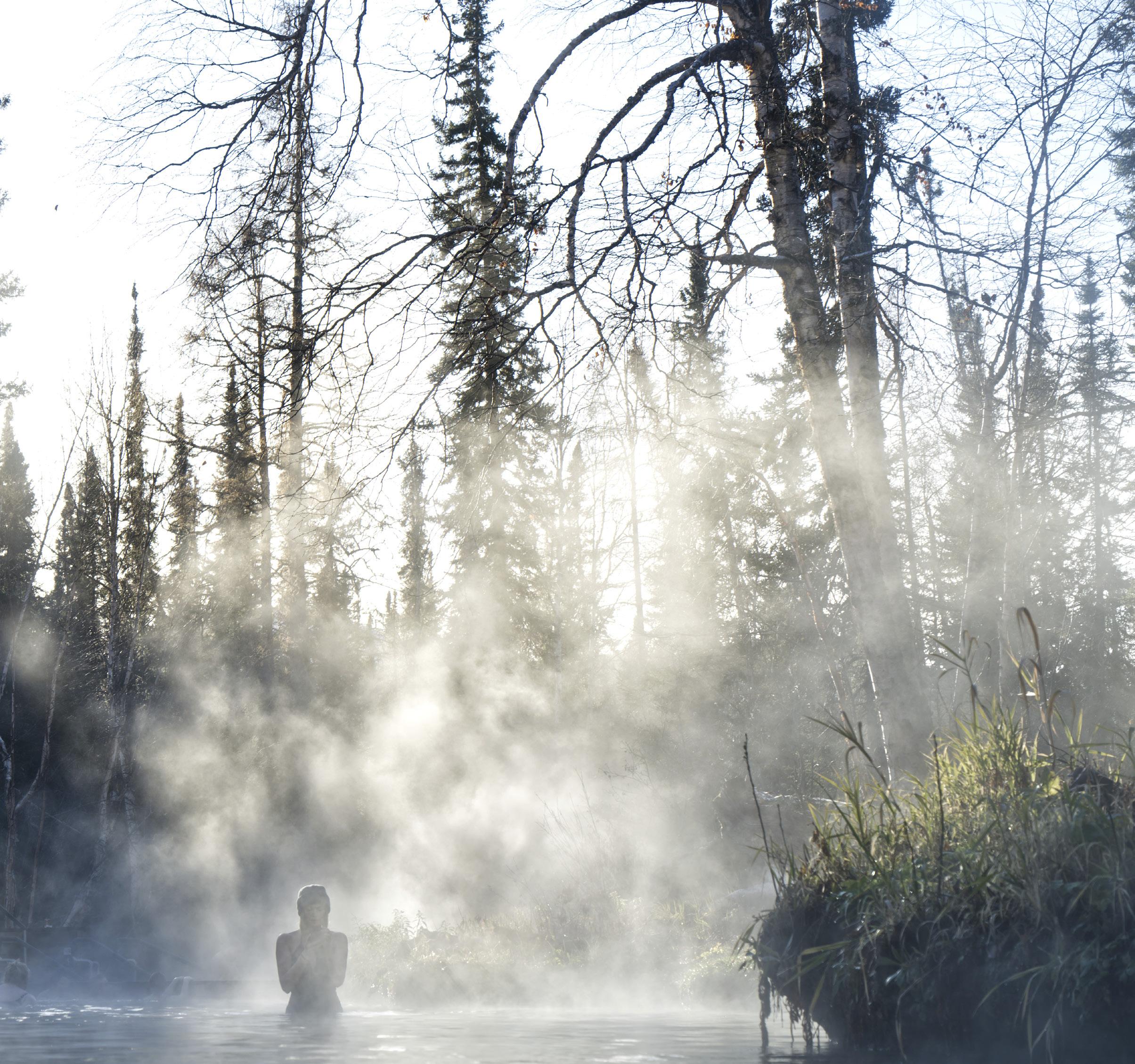
Right next to the highway are the second largest natural hot springs in Canada, formed by warm water that emerges at between 42 and 52°C (108 to 126°F). Known for millennia by the Kaska Dena First Nations, they were noted in the diary of Robert Campbell of the Hudson’s Bay Company in 1835 while looking for a trade route into the region. (The Liard River was later abandoned due to rapids in the upper sections.)
The first access path
and pool were built by the US Army in 1942, and there have been steady upgrades ever since. Today a long boardwalk leads across warm wetland to modern pool buildings with change rooms and toilets. There are two pools, the upper one being warmer than the lower. On cold days, sitting neck deep in hot water while watching snow fall is one of nature’s great treats.
The hot springs have created a unique habitat where temperate plants and animals survive.
Ostrich fern and cow’s parsnip grow tall, giving the area a tropical feel amid the black spruce forest. The warm microclimate and rich nutrients feed many mosses and wildflowers.
At the Hanging Gardens above the main pool, look for lobelias, primroses, fleabanes and monkey flowers that wouldn’t normally be seen this far north. Fourteen different orchids survive here, as do several rare frogs and a warm water snail that is found nowhere else in the world.
38 • BC MAG
Close to the BC / Yukon border on Highway 97, beautiful Smith River Falls plunges 35 metres in two terraces.
River Falls. There, the river plunges 35 metres in two steps through a narrow canyon and is most photogenic. A short trail leads to the foot of the falls. Fishing on Smith River is reported to be good.
Continuing west, Coal River Lodge (Kilometre 823/Mile 514) offers fuel, camping, a playground, an airstrip and bison burgers. You choose. Or if tumbling water is your thing, pull off on the left of the highway near Skooks Landing for Whirlpool Canyon (Kilometre
832/Mile 519), upstream of where the Rabbit River comes in from the south. A mile (1.6 kilometres) beyond that side road, another road leads down to a fine beach exposed at low water levels. To the right are swim pools in an old oxbow that warm up nicely in the summer. From the main beach you can watch the silty Kechika River merging with the clear Liard just upstream.
Less than seven kilometres further, past Fireside (Kilometre 839/Mile 525) are the Cranberry Rapids—an-
other reason why the Hudson’s Bay Company didn’t take to the Liard River. A huge wildfire came through here in 2009, jumping the highway. Finally, at Allen’s Lookout (Kilometre 880/ Mile 551) there’s a large gravel carpark and good views of the river below.
Shortly after Allen’s the highway makes the first of six crossing into and out of the Yukon over 17 kilometres. “Can’t make its mind up,” is how Archie puts it. But BC is over, and so is this story. But what a road, eh?
BC MAG • 39
First developed by the US Army while building the Alaska Highway in 1942, the pools at Liard Hot Springs are now a modern and attractive destination year round.
Left: Phee Hudson; Top: Northern BC Tourism/Ryan Dickie; Above: ExploreNorth
BOTH SIDES NOW
HIKING TRIPS ON EITHER SIDE OF ROGERS PASS REVEAL THE DIFFERENT FACES OF MOUNT SIR DONALD
STORY & PHOTOS BY LESLIE ANTHONY
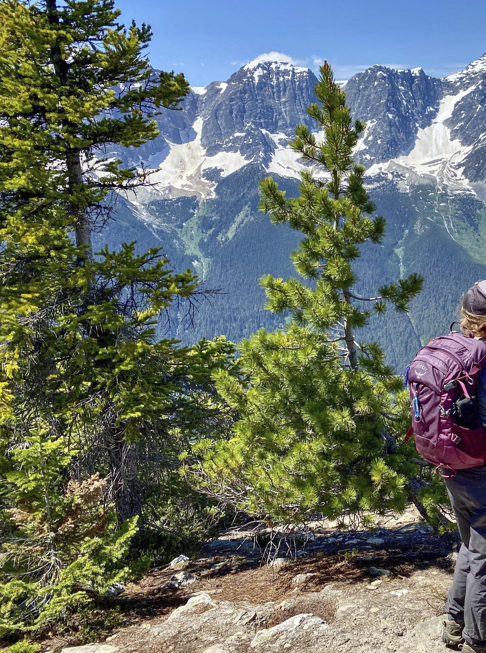
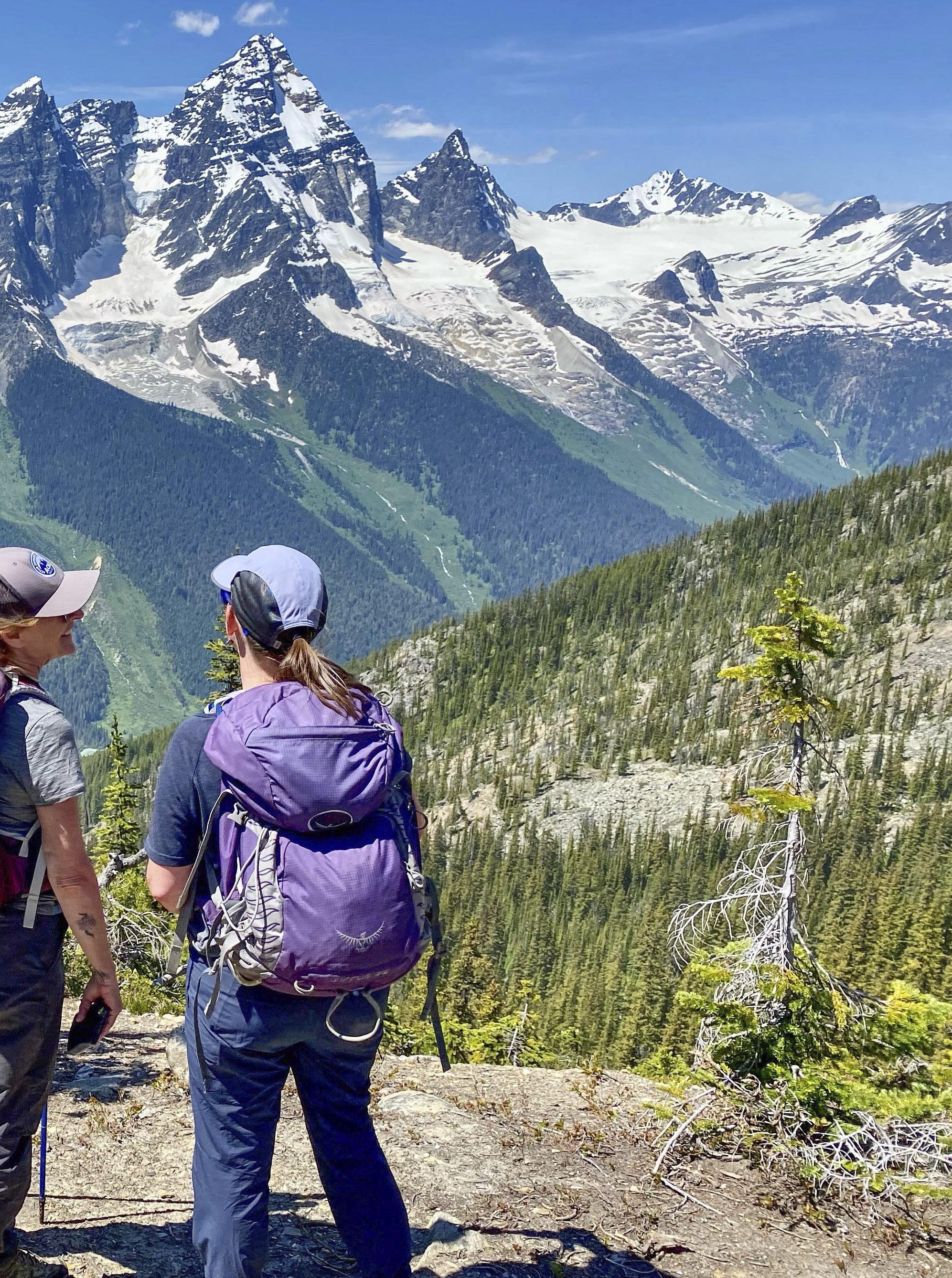 From Bald Mountain in the Purcells, Mount Sir Donald stands out as the high point in the Selkirks' wall of rock and ice.
TO THE Nłeʔkepmxc First Nation, everything in nature is interconnected. So, it makes sense that this is an overlying theme as nation-member Tim Patterson of Zucmin Guiding leads us on a journey of understanding through the forests of Rogers Pass. As the sun bends its way down through the trees, the warming in open spaces is met by zephyrs of cool air that swirl over lingering snow patches. With airborne phenols from spruce, fir and cedar stirred in, the overall effect is one of marching through a giant cosmic air freshener.
As an ACMG hiking leader, master educator with Leave No Trace, field instructor with the Outdoor Council of Canada, a MA in environmental education, and Indigenous interpretive guide specializing in mountain environments, Tim is deeply knowledgeable and has much to share about Indigenous use of various tree species—whether for cleaning, sustenance or other purposes. He quietly passes on his greatest reverence, however, for “the boss tree”—the interior douglas-fir used in culinary, medicinal, cultural and technological applications. Not to overlook that these sentinels are also, as always, the most impressive, neck-craning arbour in the forest. Even smaller versions, as here, growing at the erstwhile foot of one of western Canada’s most iconic glaciers—an ice flow once impressive enough to be called The Great Glacier, a template for geological, human and, eventually, climate stories.
Although several local First Nations tapped the area we’re forging into for resources, they never actually occupied it, sticking to the valleys on either side of the pass given, as Tim explains, the difficulty of its steep terrain, dense vegetation, prodigious snows, thundering avalanches and tricky glaciers descending almost to the river valleys. A more recent, European history of the area kicks off with Major A.B. Rogers, a surveyor employed by the Canadian Pacific Railway (CPR) who discovered this much-sought singular way through the Selkirk Mountains. When the transcontinental railway was completed in 1885, Rogers Pass became one
of western Canada’s first tourist destinations. Glacier National Park was opened in 1886, and Glacier House, a small hotel, sprang up on the rail line near the glacier’s terminus, expanding in both 1892 and 1904. Swiss guides were brought in to lead hotel guests to the ice, which, by 1907, was the “most visited glacier in the Americas.”
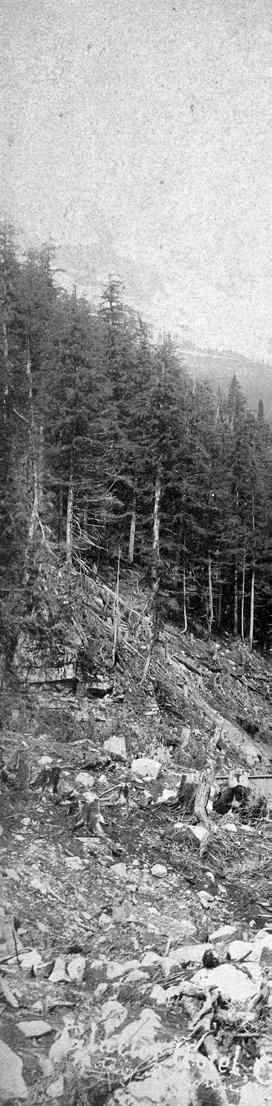
Initially labelled The Great Glacier by Barnum & Bailey-inspired CPR promoters, the Interior Salish word Illecilliwaet (“big water”) was already in use to describe the glacier’s meltwater river, and gradually replaced the former appellation for the ice itself before being officially adopted by Parks Canada in the 1960s. The influx of visitors over the years has included both mountaineers and glaciologists, and thus, though they are sparse by European standards, studies made of the Illecilliwaet Glacier are among the most detailed available for North America. This proved fortuitous given a rapid retreat of the ice that began almost as soon as tourists arrived, pulling it back several kilometres over the course of a century. With the hotel’s raison d’être in slowmotion jeopardy, the CPR’s decision in 1911 to re-route its rail line to make it less vulnerable to avalanches (over 250 people died during construction and the years following) put a final nail in the attraction’s coffin. Glacier House officially closed in 1925, after which it was decon-
structed down to the foundations.
Beginning the hike, we’d walked the abandoned rail bed past the hotel’s historic remains, turning onto a path that guests would stroll after dinner to get a look at the ice. From that same gravel-bar lookout, we now ascend beside the Illecilliwaet River, the forest constellated with house-sized glacial erratics and stranded mounds of rock and till—a Pleistocene
42 • BC MAG
Glacier House Lodge in Rogers Pass anchored the golden age of mountain tourism in Canada.
souvenir of the glacier’s profound effect on the land. Above us, from every angle it seems, lords 3,284-metre Mount Sir Donald, the sharp, Matterhorn-like peak whose imposing presence in many ways defines Rogers Pass.
The mountain was originally named Syndicate Peak in honour of the group that had arranged financing for the completion of the CPR. Fortunately,
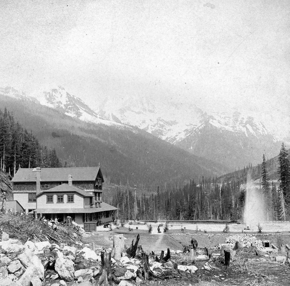
sober second thought saw it renamed for Donald Smith, 1st Baron Strathcona and Mount Royal, who led the effort. The peak’s good rock quality and classic shape had already made it popular among alpinists. Since the first ascent in 1890 by Swiss guides Emil Huber and Carl Sulzer, and their porter Harry Cooper, three or four parties a year were tackling Sir Donald by the time Glacier
House packed it in. Today, the route up the Northwest Arete is included in the popular book Fifty Classic Climbs of North America.
Eventually leaving the river and forest behind, we labour up a steep, alderchoked slope where the substrate turns to fine dust mixed with gravel—the remains of a towering lateral moraine. If nothing else, the retreating ice has rendered this
BC MAG • 43
UBC Open Collections
hike an excellent Glaciology 101. Rockhopping a small stream flowing off the remaining ice—still high above us and out of sight—we step across glacier-polished rock whose iron content sees it rusting in the air, and lunch where the glacier once sat as recently as my teenage years. In fact, I’d first glimpsed the Illecilliwaet from the window of a van headed west to Whistler from Toronto, and though my memory of an alabaster cascade is all that remains of the ice at this location, I
log a night at the infamously decrepit mega-A-frame known as Glacier Park Lodge for ski-touring. Seeing the waypoints of the pass on the ground like this is a whole new ball game, and hiking them to learn how the area’s Indigenous, European, geological and climate histories weave together vastly enriches my perspective.
The ice might be gone, but fascination with the pass doesn’t change. Later, as our group settles into chairs with cocktail in
ting. And it worked. Even as the ghost hotel and the increasingly ghostly glacier it shilled for pass into the mists of time, interest in the hiking and climbing they inculcated has only increased. You can still access “luxury” lodges in the mountains of western Canada to have similar experiences, but nowadays you can’t just step off a train; instead, depending on the setting, you drive or fly to them.
In the former category is the aforementioned Heather Mountain Lodge, a cosy, wood-beam structure just off the TransCanada Highway on the east side of Rogers Pass. Fashioned from trees right off the property, it offers relaxed views into the pass from both the main lodge and a cluster of private cabins, along with a wood-fired hot tub and massive barrel sauna. “Kindle,” the name of the in-house restaurant, is a nod to signature live-fire cooking that features plenty of innovation. My favourite was radish sprouts from an outdoor garden “planted” in a black olive tapenade that had been firedried to imitate crumbly soil. Other standouts included a sablefish and melon amuse-bouche, perfectly cooked elk tenderloin atop charcoal-colored mint-andpea tortellini, smoked trout, and a flourless chocolate torte.
recognize waterfalls and landmarks from old photos included on interpretive panels at the bottom of the trail—a climatechange story writ large.
By conservative estimate, I’d driven through Rogers Pass probably 50 times, but had only ever stopped in one spot— the summit—whether to stretch my legs, use a bathroom, tour Parks Canada’s modest museum, or, when it still existed,
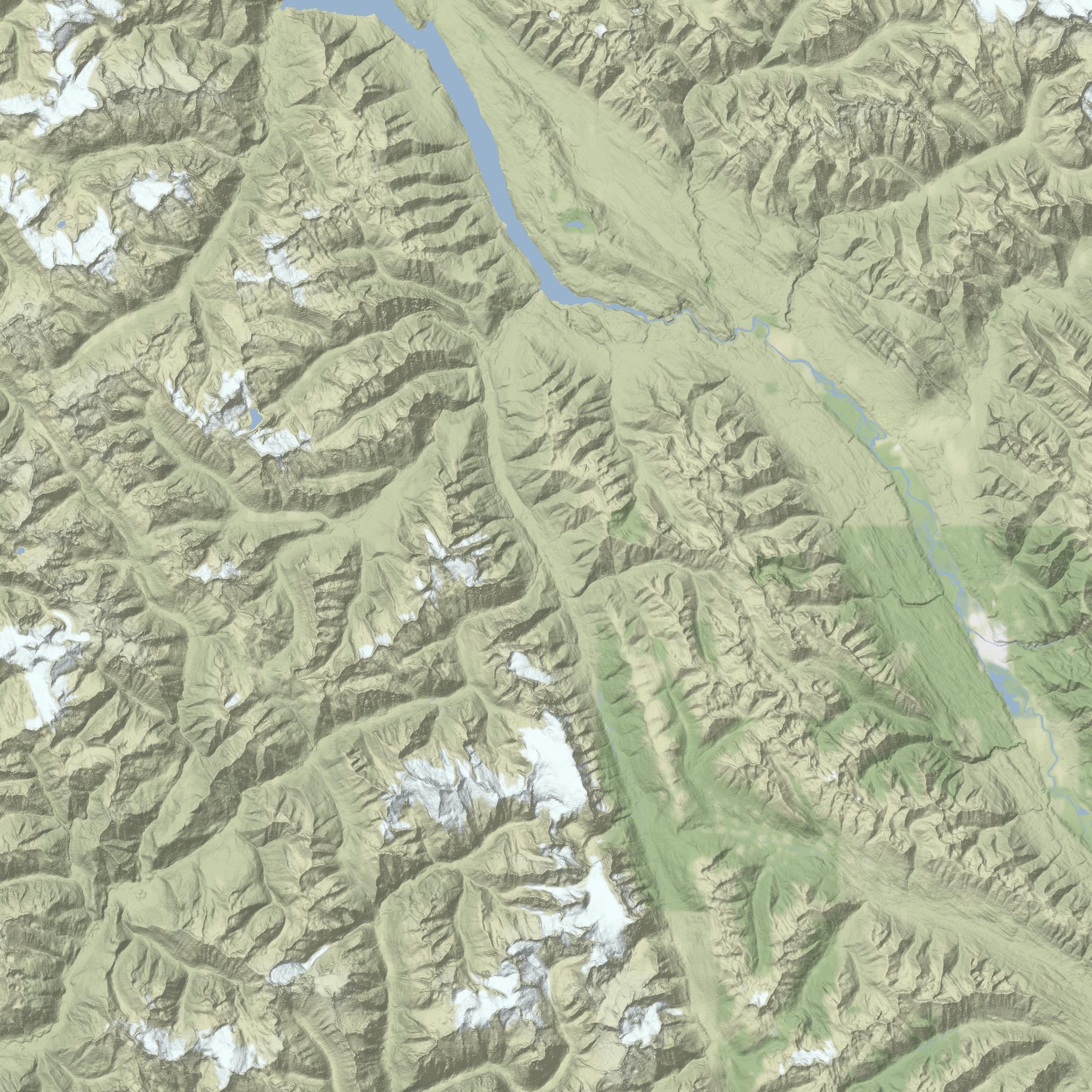
hand on the deck of Heather Mountain Lodge to watch alpenglow wash Sir Donald and what remains of his once-great glacier, it feels less like a sunset to the day than a coda to an entire era.
GLACIER HOUSE WAS an early attempt to bring Euro-style mountain tourism to Canada, with the added bonus, unlike the Alps, of a completely wilderness set-
Though it’s hard to leave behind such culinary delights, more hiking is on our menu, this time in the Purcell Range to the east. To reach our next destination we route through Golden, a town with enough of its own appeal to warrant at least a day and night exploration. You can play it, as we do, like this: take the morning to go up Kicking Horse Mountain Resort to visit its popular resident grizzly bear, Boo, who’s 21-year-old head rivals the size of the cub he was rescued as; grab lunch in Canada’s highest restaurant, the lofty Eagle’s Nest, with its signature truffle fries and outstanding views to three mountain ranges and five national parks; in the afternoon check out Golden Skybridge, an adventure concession whose rope courses, climbing wall and
44 • BC MAG
0 10 20
Kilometres
Heather Mountain Lodge
GOLDEN
Kicking Horse Mountain Resort
Purcell Mountain Lodge
Mt. Sir Donald
Rogers Pass
Illecilliwaet Glacier (The Great Glacier)
GLACIER NATIONAL PARK Site of Glacier House 95 Helicopter shuttle
Rogers Pass Discovery Centre
Area of Enlargement
Mount Sir Donald from where guests at Glacier House would have first glimpsed it over rocks piled up by the Great Glacier.
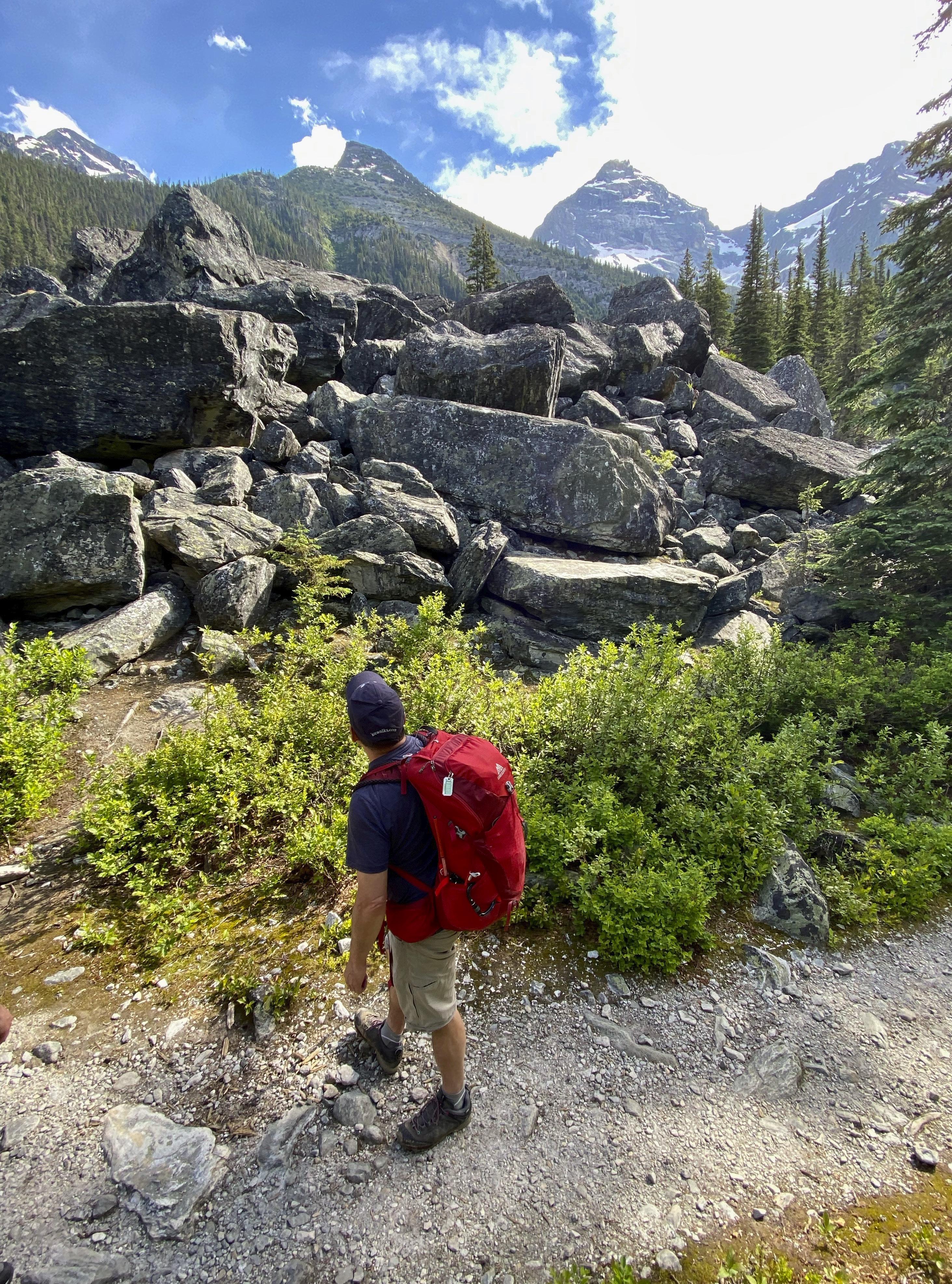
canyon-spanning suspension bridges, zip-lines and pendulum-swing deliver requisite gut-clenching.
Making the most of our last night in populous civilization, we stay in town at Base Lodge, a new high-end, self-serve franchise taking hold in the inter-mountain west (it recently took over an existing property in Golden on the Columbia River and will be building a new lodge across the street) and dine at the town’s most beloved eatery, 1122, with its eclectic upscale homestyle menu and outdoor tables on the back lawn.
Next morning, we head to the airport for the 15-minute helicopter shuttle into Purcell Mountain Lodge, a wilderness backcountry eco-luxury affair at 2,200
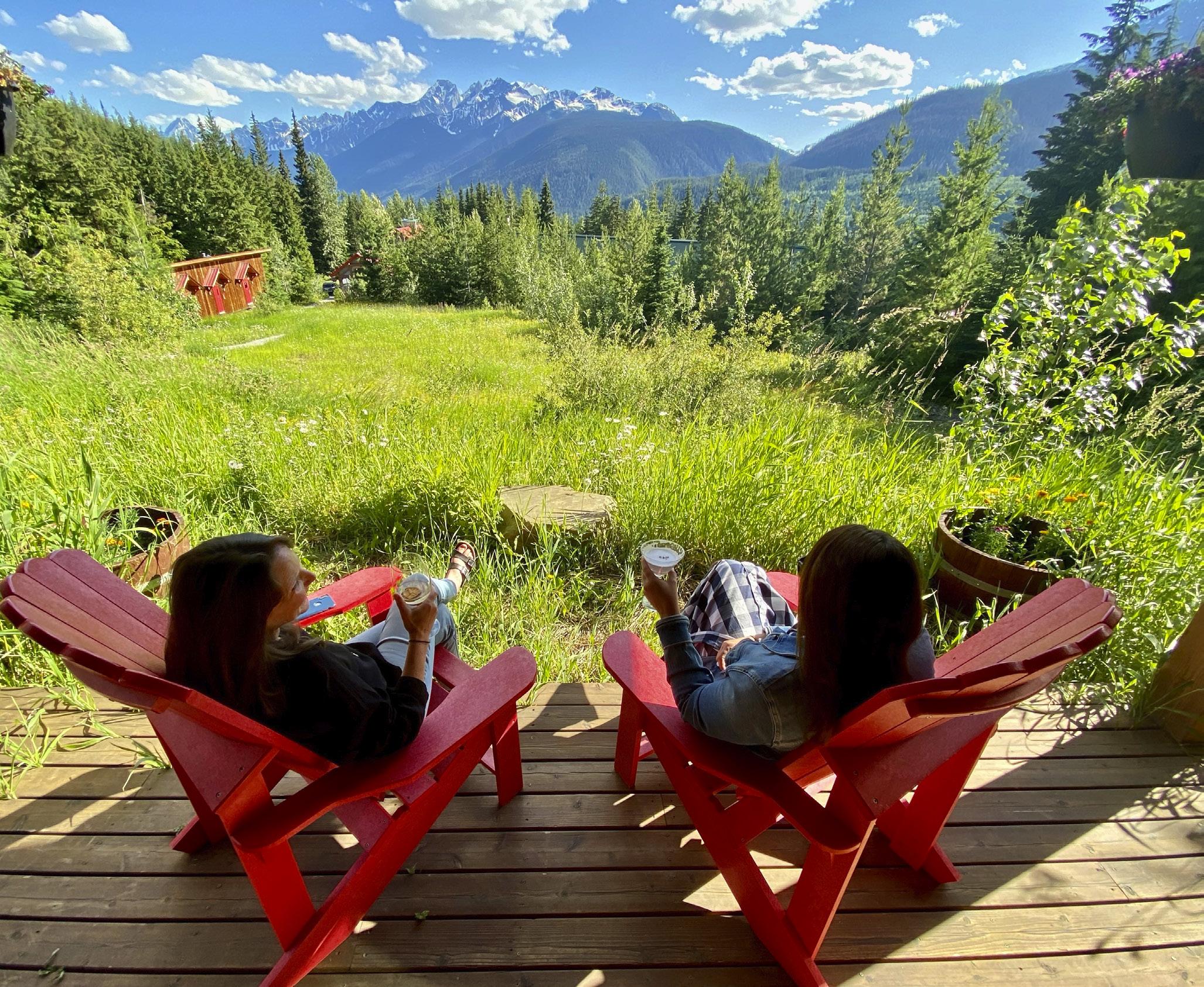
metres in an unbeatable setting—one of the more notable dreamers’ passion projects dotting the subranges of BC. Another bluebird day brings spectacular views of the local geological nexus—east to the Rockies, Rocky Mountain Trench and Columbia River Valley; west to the Purcells’ Dogtooth Range, Bald Mountain, Purcell Trench and Beaver River Valley, backed by the prominent, looming wall of the Selkirks—a great, silent sea of rock and ice. We’re greeted at the lodge not only by manager Jackie Mah—a mama-bear type who immediately makes everyone feel welcome—but also owner Sunny Sun, a former Edmonton doctor now based in Vancouver. Sun was but a backcountry rube when he’d first visited
the lodge but was enamoured enough to eventually buy it.
After a quick breakfast orientation, we scramble out with hiking guides and head south to a ridge called Kneegrinder (though it isn’t really), hopscotching around an extensive snowpack that in early July has only recently started to melt, and between whose white corrugations flowers are beginning to bloom. From the ridge we follow a series of high, rolling meadows back north overlooking the deep-cut Purcell Trench and its Selkirks keeper. Though we’re on the complete opposite side of Mount Sir Donald from where we’d hiked in Rogers Pass, the peak is even more impressive.
From this aspect, glaciers galore still sag from the Selkirk ramparts, including the
46 • BC MAG
Gazing back toward Rogers Pass from Heather Mountain Lodge demonstrates that after a long day’s hike, cocktail hour never gets old.
flat-topped Illecaellewat neve that, without seeing, we’d sat below on the other side of the range. Columbia ground squirrels, a favourite grizzly bear snack, abound, and we encounter many extensive bear digs that document their patient search for these tasty morsels. Since the squirrels eat certain types of alpine plant material that the bears can’t digest, eating the squirrels facilitates a form of energy transfer from alpine ecosystems, whose riches the bears then spread far and wide. With the winter snowpack just pulling back, there’s also a glimpse into the secretive subnivean world that exists beneath it—an exposed ecosystem of roots, snow algae, snow mold, insects and animal tunnels. We break at a jaw-dropping overlook of Mount Sir Donald called Poet’s Corner, then, having filled the senses, climb back up through the forest and out onto the meadow to the lodge.
After a 10-kilometre hike, there’s only one thing on your mind: dinner. Our altitude-activated appetites are amply addressed by Chef Josef, who grew up in Austria’s Alps. His take on contemporary cuisine is influenced by the lodge’s pristine environment with its bounty of wild edible plants and berries. Sated by a round of appetizers and a knock-over dinner (thyme-crusted rack of lamb with creamy polenta and asparagus, anyone?) we look forward to our final day—and last hike.
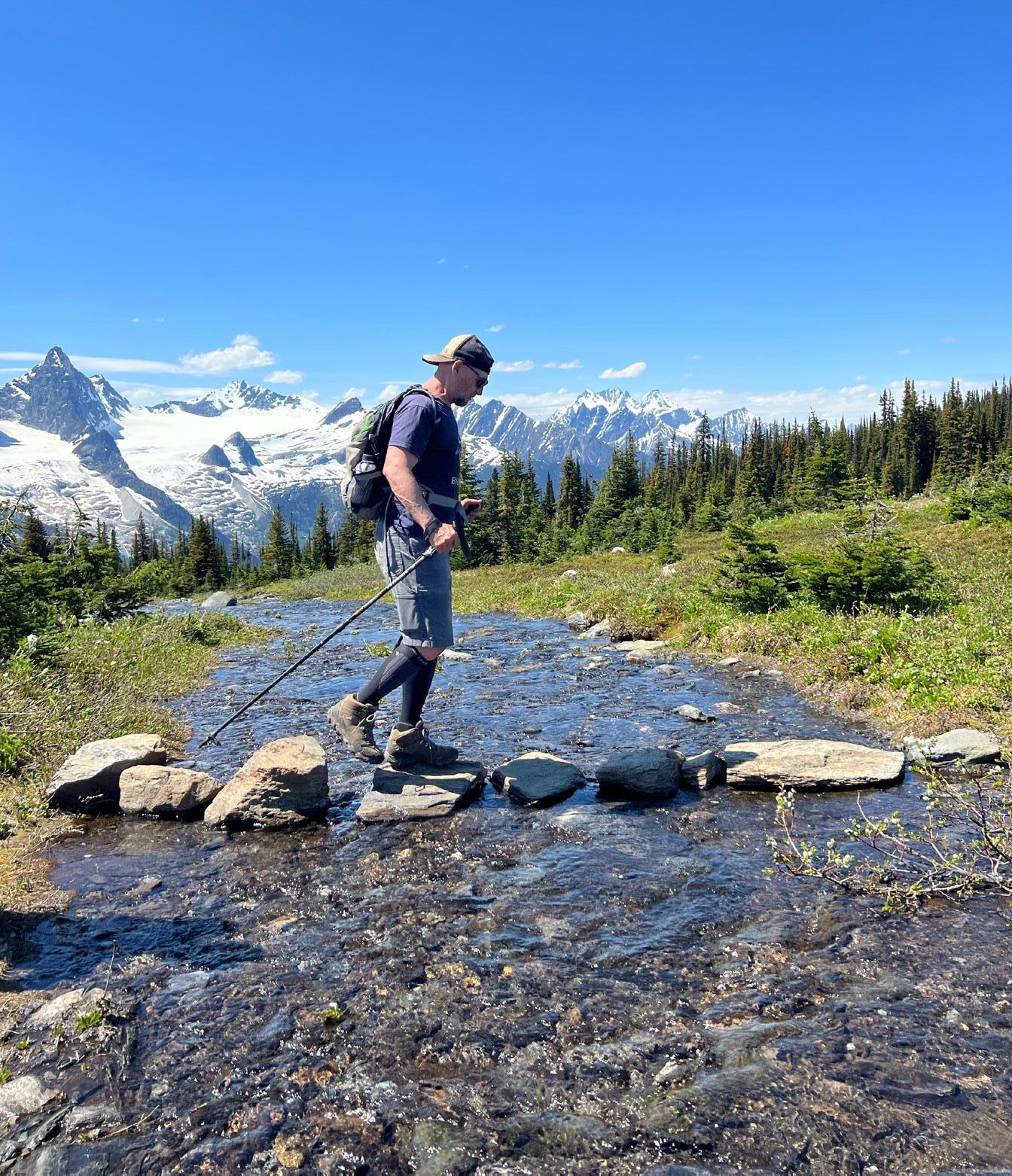
NEXT MORNING FINDS us tracking across extensive meadows in the opposite direction, through a small watershed divide between the Spillimacheen and Beaver rivers, then back up the eastern side onto the shoulder of Copperstain Mountain, where we clamber up a still heavily corniced ridge to a lunch spot above the tree line. From here, it’ll take us another hour to reach Copperstain’s rocky, wind-scoured summit, but clutching sandwiches, everyone appears silently fixated on another peak entirely. Having moved away from it but gained elevation, we now command a more distant view of Mount Sir Donald’s familiar pyramid—a sentinel BC landmark that we’ve happily embraced from both sides now.
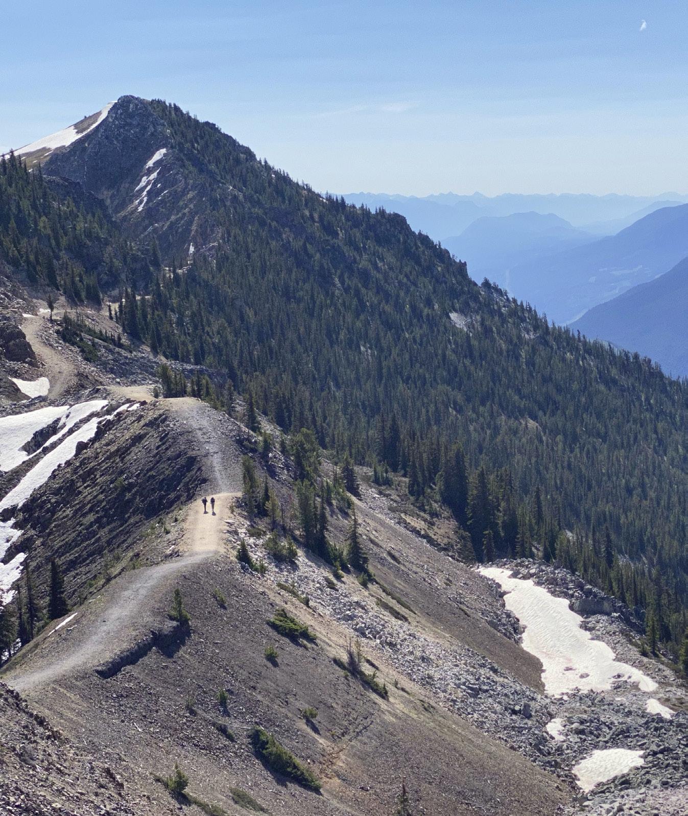 The author watches his step hiking near Purcell Mountain Lodge with the Selkirks in the background.
The ridgetop hike at Kicking Horse Mountain Resort.
The author watches his step hiking near Purcell Mountain Lodge with the Selkirks in the background.
The ridgetop hike at Kicking Horse Mountain Resort.
FINDING NAHATLATCH
A DRIVE DOWN THE ROAD LESS TRAVELLED REVEALS A RELENTLESS RIVER AND ONE OF BC’S BEST KEPT SECRETS
 BY ERIN JACKSON
Iwake to the sun dancing across the canvas roof and, for a brief moment, I forget where I am. Then I hear the rush of the wild river just metres below. It’s loud… loud to the point of excess. Yet, somehow, I slept better than I have in weeks. Sliding out of the king size bed, I unzip the tent and step out into the brisk morning. The deck is still damp, though it won’t be long before the sun’s rays round the corner and dry the cushions of our private little sitting area. For now, I see they’re resting in the treetops, high above the Nahatlatch River’s turbulent jade-green waters that, today, we’ll attempt to conquer by raft.
It’s not long before the sound of the river is replaced by the clattering of an old school bus carrying us deeper into
the Fraser Canyon’s untamed wilderness. Wetsuits donned, we arrive at the river’s edge to talk safety, pick paddles and, in my case, pray my glasses stay put (why didn’t I bring contacts?). In minutes we’re off. Joining us in our six-person raft are three generations—grandmother, mother and son—who are also visiting REO Rafting, Glamping and Yoga resort for the first time. Hurling down the river, we obey our guide’s instructions, acting in perfect unison. Paddle! Stop! Paddle! Get down!! We nosedive, water engulfing us before we’re spat out the other side, frantically untangling ourselves to get back in position. This is awesome, and it’s only just begun.
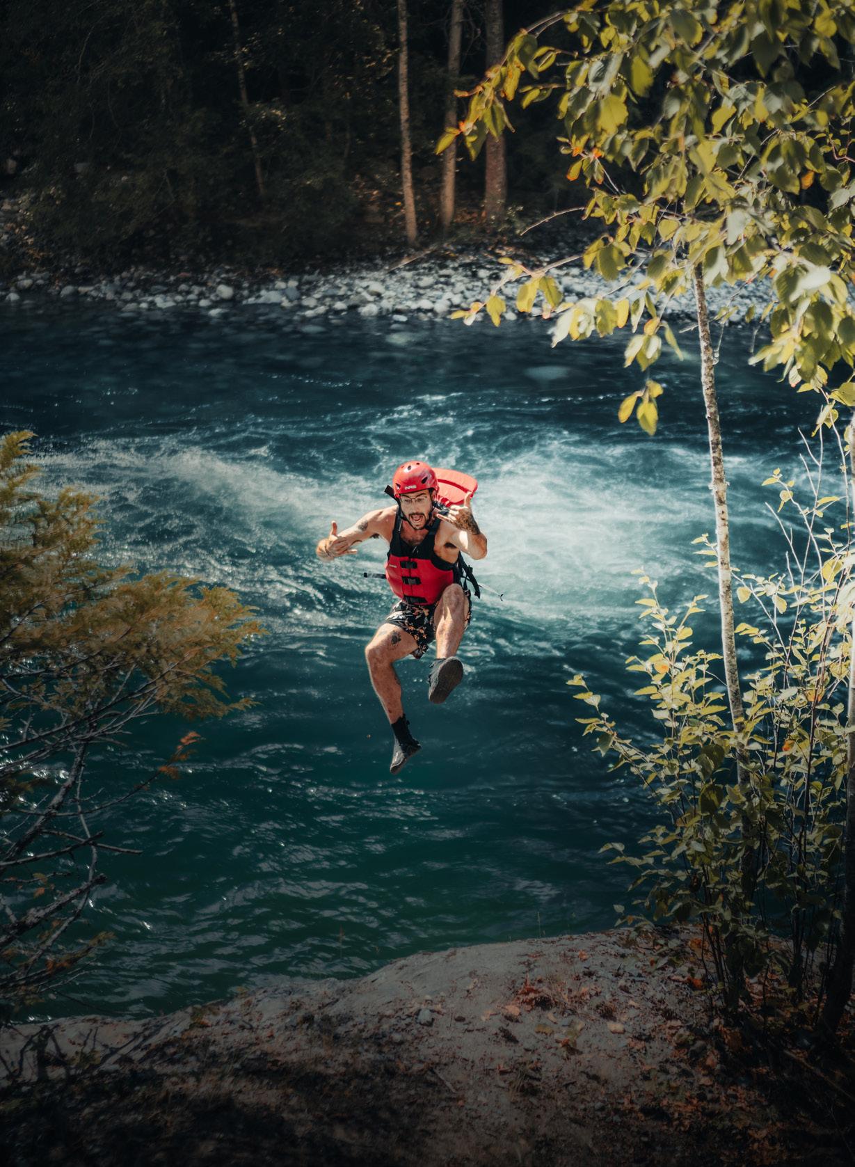
By the time we slow down, I realize I haven’t stopped smiling and my cheeks actually hurt—though I attribute that to the wisdom teeth I’d had removed a
few days earlier. But as we raft up to the family ahead of us, I see we’re all in the same boat, so to speak. Every last one of us, whether we are 15 or 60, is giddy with adrenaline and this overwhelming feeling of absolute freedom. Climbing ashore, we grasp ropes strung along the riverbank to bypass “the nozzle,” a narrow section of the river too risky to run with current water levels. It’s here, traversing the slick footpath around the rapids, that I feel like an explorer.
I think of how the first visitors must have felt navigating their way through the canyon’s intimidating terrain, guided by, and reliant on, the Indigenous peoples who’d occupied this land for thousands of years prior. According to The Letters and Journals of Simon Fraser, 1806-1808 edited by W. Kaye Lamb, (2007) the young explorer wrote, “I
50 • BC MAG
have been for a long period among the Rocky Mountains, but have never seen any thing equal to this country.” On this, we agree. But Fraser continues: “I cannot find words to describe our situation at times. We had to pass where no human being should venture. Yet in those places there is a regular footpath impressed, or rather indented, by frequent travelling upon the very rocks.” In 1808, Fraser and his men were pushed to their limits as they portaged around the river’s turbulent waters. At Hell’s Gate, not all that far south on the Fraser from where I stand at the Nahatlatch’s nozzle, Fraser relied on First Nation’s rope bridges to bypass this ferocious section of the soon-to-be eponymous river. After an experience like that, I can see how he might want to swear off this wild country forever.
But unlike young Fraser, I think we
could all benefit from venturing into the canyon’s timeless landscapes. Here, looking over the moonlit water from my cosy canvas home, it feels like a dream. Nothing else exists. Especially not the 2.6-million people living in Metro Vancouver, just over two hours away.
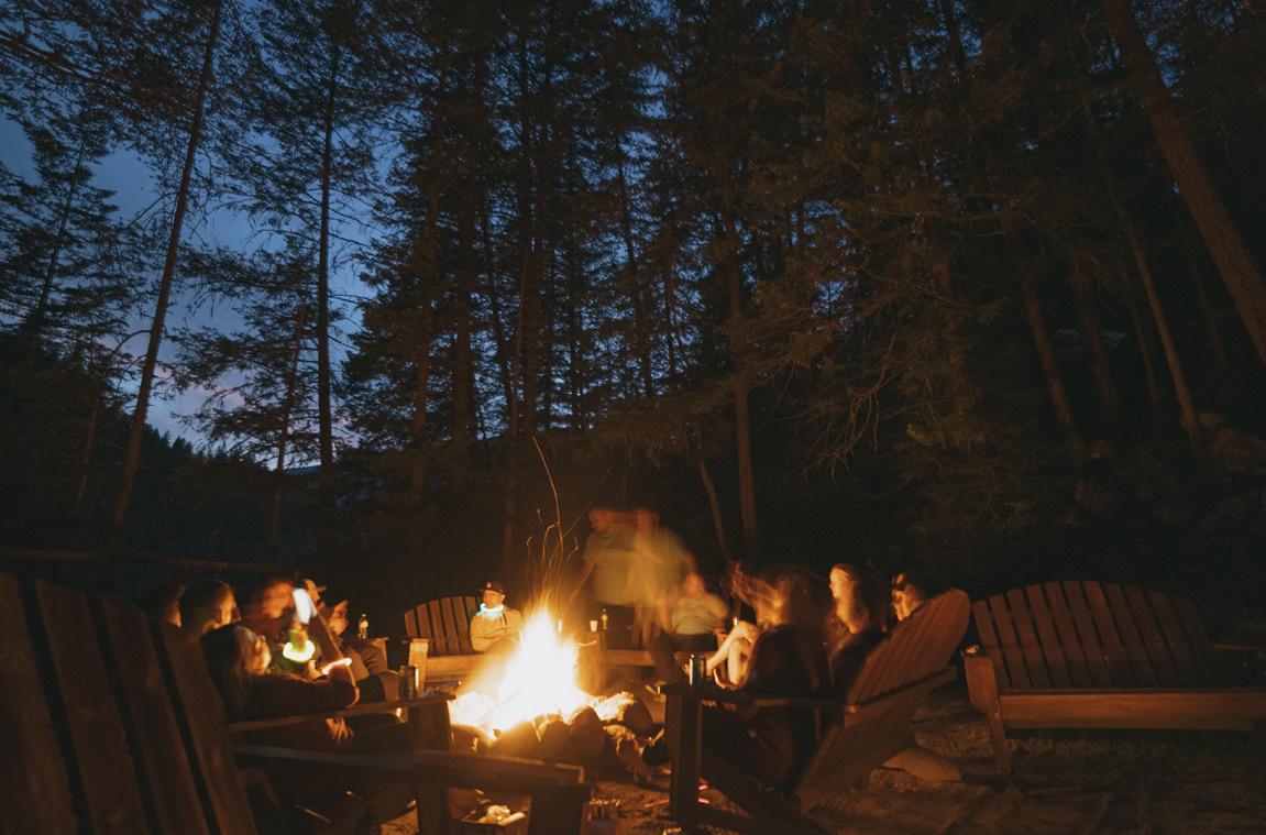
While perhaps less travelled than the neighbouring Fraser Valley, the Fraser Canyon is a destination in its own right. Extending from Hope to Lillooet, the Mighty Fraser carved this impressive gorge deep into the bedrock of BC’s Interior Plateau millions of years ago. The Trans-Canada Highway (Highway 1) traces the canyon and the river below, weaving and tunnelling its way through mountains and valleys to the province’s interior.
The Nahatlatch River, a tributary of the much larger Fraser, is no less spectacular.
According to Bryan Fogelman, owner of REO Rafting, Glamping and Yoga Resort, “The Nahatlatch is by far the best whitewater rafting river in southwestern BC. With over 30 rapids in just 10 kilometres, there is certainly no other river within a 2.5-hour drive of a major metropolitan area in Canada with this many rapids and as much gradient drop and speed.” He should know.
Fogelman moved to British Columbia in the late 1970s to study economics at Simon Fraser University, though he spent his summers scouting rivers throughout the province. In 1983, after obtaining his Master of Arts and pioneering first descents and commercial rafting trips on a number of BC’s whitewater rivers, Fogelman founded REO. To him, this little slice of heaven buried within the Fraser Canyon’s mountain-
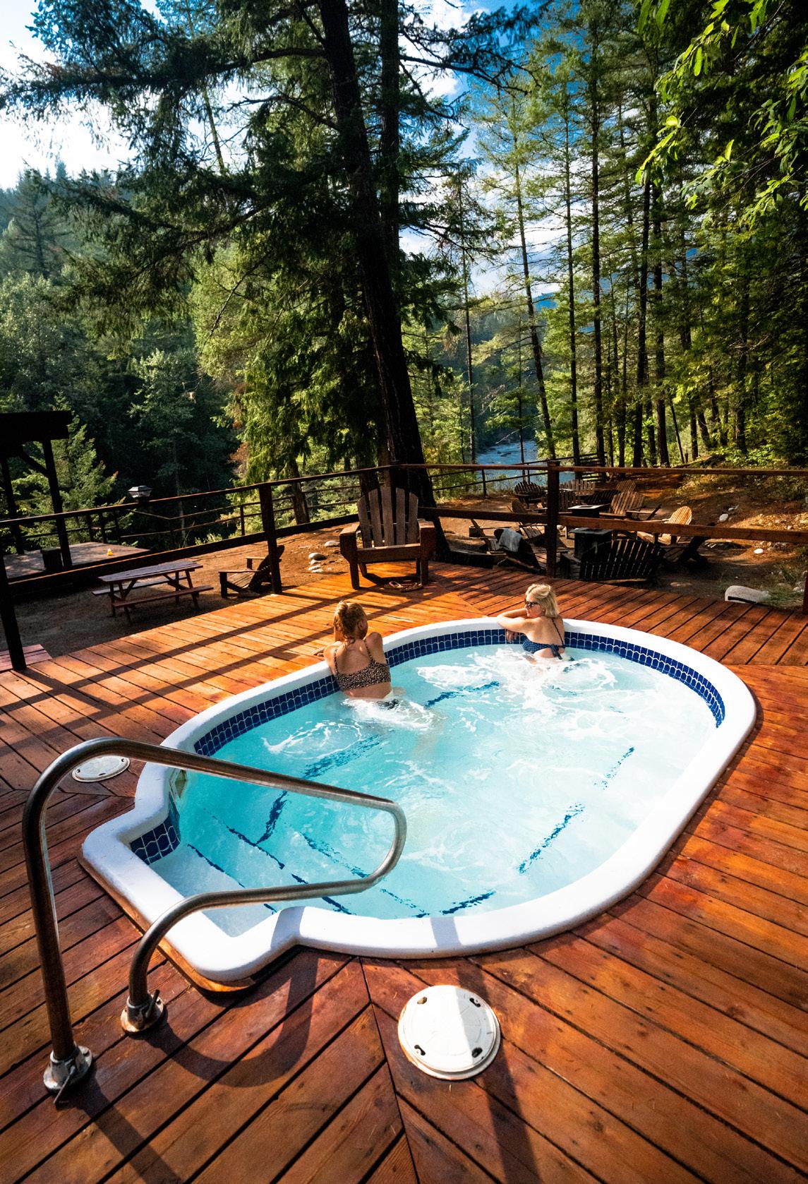
BC MAG • 51
Courtesy of REO Rafting, Glamping and Yoga
sides was the perfect place to share his love of rafting. “That was a real headscratcher for my parents,” he jokes, “but they did visit me and loved what I was creating.” I can see why.
Thoughtfully built along the banks of the Nahatlatch, REO allows guests to fully experience the simplicity of life in nature while maintaining the comforts of home. The adventure resort has two dozen cosy log-and-canvas cabins where visitors can “glamp” right alongside the river’s edge. All meals are included and served on the dining deck overlooking the river, so guests can spend their days stress-free, enjoying the private beach, hammock garden, hot tub and daily yoga classes, with nights spent around communal campfires. The resort also offers a number of guided activities including cliff jumping, hiking, archery
and, of course, river rafting. Today, the resort is family-run, operated by Bryan and his wife Karen with the help of their three children and an international team of 30-plus staff who spend the summers here—all drawn by the river and the chance to live alongside it.
And while the river is a thrill-seeker’s playground, the nearby string of lakes feeding it are a lovely contrast, offering the perfect setting for a laid-back afternoon. Sitting 20 kilometres upstream from the Nahatlatch’s confluence with the Fraser, these lakes (Nahatlatch, Hannah and Frances), along with the network of rivers and streams connecting them, were designated as a provincial park and protected area in 1999. According to BC Parks, these 2,009 hectares of protection help preserve one of the largest remaining intact wetlands in the Lower
Mainland and the bordering old growth ecosystems—critical wilderness habitat for a variety of wildlife. Unfortunately for Fogelman, the Nahatlatch River east of these lakes, where REO is located, is unprotected.
“I believe if this valley was in any other country in the world, it would be a national park. But British Columbia is so blessed with natural wonders, that we often forget that and lean to letting these areas be exploited for industrial users, like logging and mining,” Fogelman says. In the ’90s, a steady stream of logging trucks would pass the resort on a daily basis while guests, here to appreciate the peace and serenity of BC’s lush and iconic landscapes, watched on. “While I realize the value of these industries,” he continues, “I do feel that changes need to be made to protect the
52 • BC MAG
Courtesy of REO Rafting, Glamping and Yoga
area.” To do so, Fogelman works closely with local First Nations on conservation and preservation projects in the Nahatlach River Valley.
The Fraser Canyon’s pristine landscapes and bountiful natural resources have drawn visitors to the area for well over a century, and Boston Bar and North Bend, which serve as the entrance to the Nahatlatch Valley, are certainly no exception. Built and booming during the Fraser Canyon Gold Rush in 1858, thousands of prospectors journeyed through the area in search of the interior’s gold. But without the allure of gold, or the urgency to build roads and railroads, forestry has sustained these communities. Today, after the closure of the local mill, only a few hundred people remain. And while other areas in BC can’t develop fast enough, a trip through the Fraser Canyon feels like a drive back in time.
“Tourism in the Fraser Canyon has declined continuously for the last 30plus years,” Fogelman says. “There has not been significant private investment in any tourism infrastructure other than the adventure resorts at REO and Kumsheen.” (Kumsheen Rafting Resort is located along the Thompson River just east of Lytton, an hour north of REO.) In fact, in the ’90s, Fogelman could count 10 rafting companies on the main rivers of the Fraser Canyon, which drew tens of thousands of guests each year. At that time, the Sea to Sky region, located 1.5 hours north of Vancouver, was just developing and marketing their summer season. But while the Sea to Sky region has continued to rise in popularity, tourism in the Fraser Canyon has suffered. By 2022, Fogelman could only count two rafting companies remaining.
Darwin Baerg, owner of the nowclosed Fraser River Rafting Expeditions, also witnessed this transition. “We were a small business, trying to make a living taking people down the river in rubber boats,” says Baerg, who moved to Yale with his wife Sue in the early ’90s. “It was probably one of the most popular regions for rafting back at that time.” Before retiring, they offered a variety of tours on the Fraser and its tributaries including the Nahatlatch, Thompson and Coquihalla, with longer trips on the Chilko and Chilcotin. But, as Baerg
says, tourism is a fickle business. When the Coquihalla Highway was built in the late ’80s to relieve congestion along Highway 1, this new-andimproved highway not only succeeded in creating a faster, four-lane vein connecting the Lower Mainland to Kamloops and beyond, but it also allowed travellers to bypass the canyon’s inconvenient topography. Businesses took a hit. Both Baerg and Fogelman recognize the impact this had on tourism in the canyon. And while it’s tough to pinpoint exactly what has impacted tourism in the canyon in the years since, they list a number of potential factors: less infrastructure and tourism advertising dollars than outdoor adventure meccas like Whistler, rising costs of living and perhaps even decreased interest in rafting altogether. “As
tourism operators, that’s what we try to figure out, you know,” Baerg says. “What do we have to do to attract more people?”
For Fogelman, the only option was to evolve. In 2017, REO made substantial updates to create a yoga and wellness retreat centre in this pristine patch of BC wilderness. The shift into the retreat market has stabilized their business, allowing Fogelman to continue sharing the river, this place and the need to protect them with all who visit.
“I have given the bulk of my life’s work to building our unique retreat along the Nahatlatch, and I want the surrounding area and wildlife to be protected for future generations,” Fogelman tells me. “I hope that my dream and vision for REO continues with my children’s generation and long into the future.”
IF YOU GO
REO Rafting, Glamping and Yoga
REO is open May through September specializing in river rafting, retreats and outdoor adventure. reorafting.com
Hell’s Gate Airtram
From spring to fall, visitors can travel between mountain ranges, high above the angry river, aboard one of North America’s steepest fully suspended trams. This pitstop also offers educational displays about local history and ecosystems, a suspension bridge, observation decks and Simon’s Wall, where you can see Fraser scaling the cliffside using First Nation’s rope bridges. hellsgateairtram.com
Tuckkwiowhum
Heritage Village
This First Nations heritage site just south of Boston Bar demonstrates what life in a Nlaka’pamux
village was like before European culture. Tuckkwiowhum Village offers guided and self-guided tours and cultural classes, as well as an onsite restaurant, gift shop and camping. tuckkwiowhum.ca
Frances Harrington Park
Stop by for a picnic and a taste of the area’s history at this small park, which features a refurbished old aerial tram that once connected the towns of North Bend and Boston Bar. tourismhcc.ca/listing/ francis-harrington-park
Nahatlatch Park Camp, hike, kayak, swim, fish and more at this remote, cooperatively managed park. Be sure to check BC Parks website in advance as rockslides and washouts can affect accessibility. bcparks.ca
Alexandra Bridge Park
This rest stop and photo op is the site of the original Cariboo Wagon Road bridge over the Fraser River. bcparks.ca/alexandrabridge-park
Yale Historic Site
Visit the Yale Historic Site to learn how this little old town, originally established as a Hudson’s Bay Company trading post in 1848, was once home to tens of thousands of people. Its museum, archives and preserved buildings tell stories of the canyon’s colonization, the lure of gold and the construction of a railway. Open May through October, the historic site also offers dining in the Ward Tea House and accommodations in a historic Gold Rush-era home. historicyale.ca
BC MAG • 53
The History of Highway 8
FOLLOWING THE NICOLA RIVER FROM MERRITT TO SPENCES BRIDGE— THROUGH FLOOD AND FIRE
BY MURPHY SHEWCHUK
Atrip along Highway 8 and the Nicola River from Merritt to Spences Bridge could be considered a prime route for a study in dry-land contrasts. Forested hills and green hayfields gradually change to sagebrush, bunchgrass and scraggly pine as you progress steadily north-westward.
CARVED BY GLACIERS
During the last period of glaciation, which ended some 12,000 years ago, almost all of British Columbia was covered by massive sheets of ice, often reaching a thickness of more than 1,500 metres. Only the highest peaks escaped the grinding action of this flowing mass of destruction. The Thompson Plateau region was ripped open and reformed, leaving scars that the dry climate and open grasslands have preserved.
As the glaciers melted in the Nicola Basin, three glacial lakes were formed. The first, Glacial Lake Quilchena, drained southward into what is now the Similkameen Valley. The second, Glacial Lake Hamilton, was formed when the ice plug retreated in the Salmon River Valley permitting eastward drainage through the Douglas Plateau to what is now the
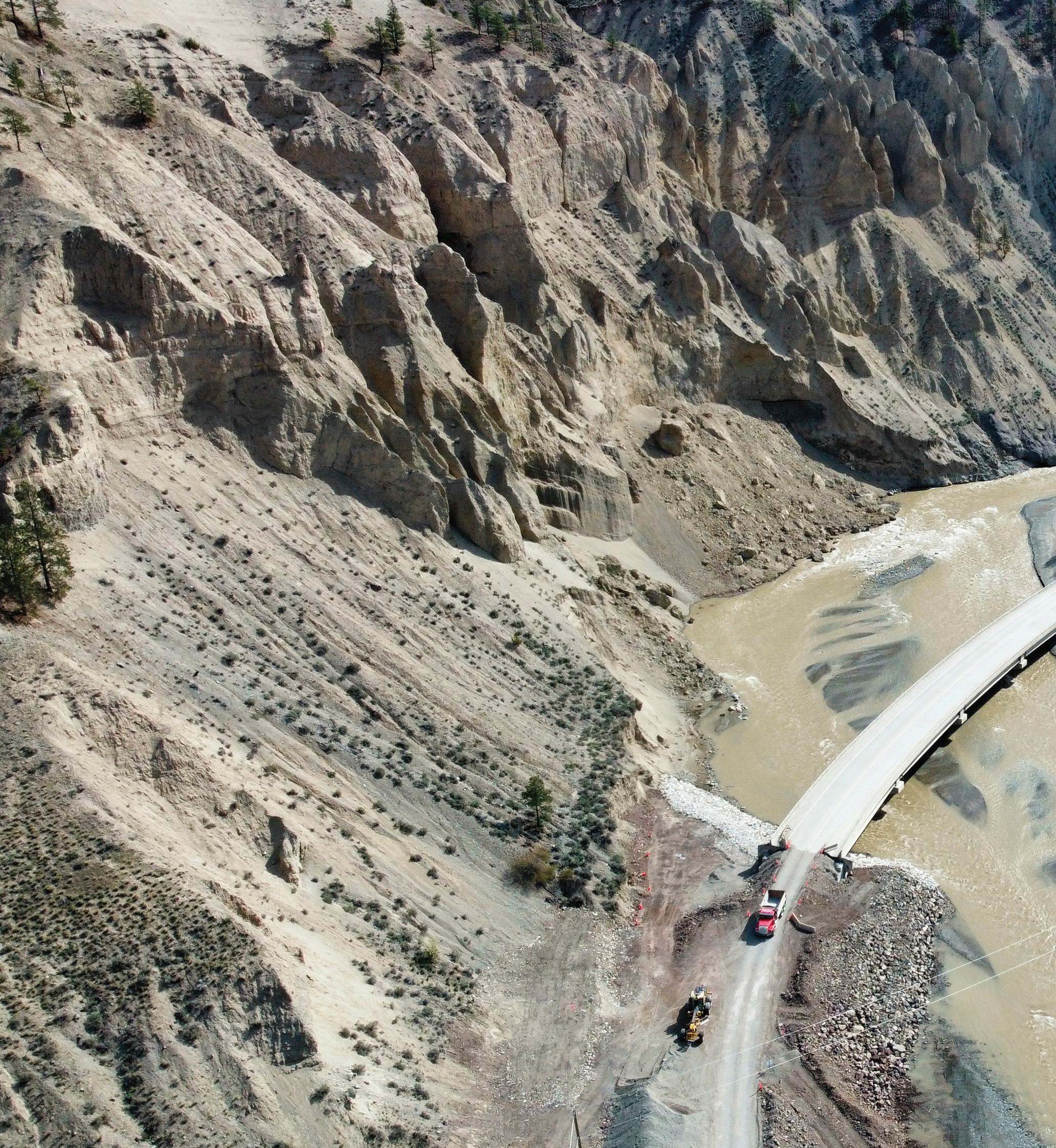
54 • BC MAG
Province of British Colmbia
In November, 2022, Highway 8 reopened to all vehicle traffic, restoring connectivity to residents, Indigenous communities and the local forestry and mining industries.
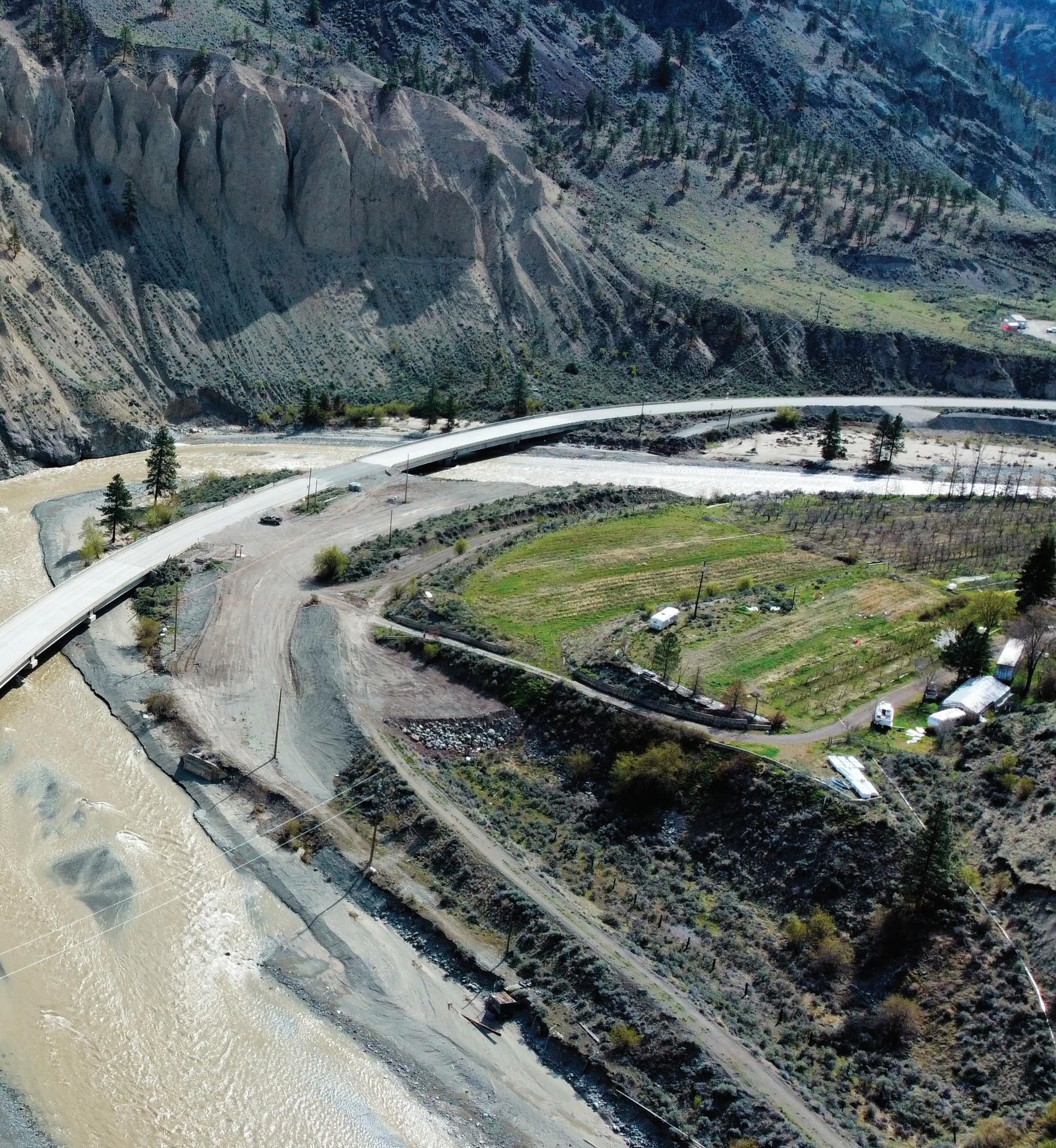
BC MAG • 55
Okanagan. The third, Lake Merritt, was formed when the ice melted out of the Campbell Creek Valley to the north and allowed the meltwater to drain into the Thompson Valley east of Kamloops. All three of these lakes left their marks on the grassland hillsides all the way from Merritt to Douglas Lake. As the warming climate forced the giant ice sheet northward, the last ice plug melted out of the northwestern (lower) reaches of the Nicola River, opening the present drainage route out of the valley. The onrush of water carved a canyon out of rock and multiple layers of glacial silt, leav ing clay and gravel cliffs and picturesque hoodoos.
THE RIVERS
The Nicola River rises in the high coun try west of Kelowna and winds across the plateau and through Douglas Lake before emptying into Nicola Lake. From Nicola Lake it winds southward to Mer ritt. The Coldwater starts in the heart of the North Cascade Mountains about 15 kilometres west of the Coquihalla Lakes. It then flows eastward and then north, joining the Nicola River in the heart of Merritt. From Merritt the Nicola winds northwest some 60 kilometres to the Thompson River at Spences Bridge.
THE FIRST PEOPLE
The human history goes back 8,000 to 10,000 years to when the Interior Salish ancestors of the Nlaka’pamux (Thomp son), the Syilx (Okanagan), and the Sec wepmc (Shuswap) peoples migrated into the region.
The Nlaka’pamux followed the Nicola River upstream from what is now Spen ces Bridge and overland from Nicoamen. Their trails were the trade routes for the salmon and steelhead of the Thompson and the game, berries and roots of the Nicola grasslands.
THE FUR TRADE AND SETTLERS
The first fur traders travelled through the region in 1812. They were followed half a century later by cattle drovers heading to the rich goldfields of the Cariboo. These were largely north-south routes, linking the Similkameen and the Fraser Valley to the Thompson Valley in Kamloops.
The lower Nicola Valley again became a transportation route when a wagon road
linking the CPR at Spences Bridge was completed in 1887. This served as a route to the coalfields south of what is now Merritt and the growing community of Nicola at the foot of Nicola Lake.
NICOLA, KAMLOOPS & SIMILKAMEEN RAILWAY
The coalfields attracted widespread attention and the building of a railway up the Nicola River. The first train from Spences Bridge arrived at Nicola on November 2, 1906, predating the start of
just south of the community, but there were others nearby. They supplied coal for the steam engines that plied the railways of the BC Interior until the mid1940s. The railway also meant better transportation for the rich cattle country surrounding the community.
OFF THE BEATEN TRACK
The last train rolled through the Nicola Valley in 1989. The wagon road had earlier become a highway and Highway 8 became one of the major routes into
the community of Nicola was the main community in the valley. It had been established as a farming community as early as 1868 and the first Post Office opened there in 1871.
COAL AND CATTLE
Railway access to the coalfields surrounding the confluence of the Coldwater and Nicola rivers prompted the establishment of the community of Forksdale. The name was changed to Merritt in 1906 for William Hamilton Merritt, one of the promoters of the Nicola, Kamloops & Similkameen Railway. The main coal mine was at Middlesboro,
Fraser and Thompson to Kamloops left Merritt somewhat like a hole in a donut. That changed when British Columbia decided to host Expo 86. Half a dozen years of frantic highway construction put Merritt, now a city of 7,000, at a major crossroads in the Coquihalla freeway link from the coast to the Interior. It still serves cattlemen and miners, but the transportation corridor has attracted many other services.
THE FLOOD
Three “atmospheric rivers” in a row in November 2021 dumped a record rainfall that caused major damage
56 • BC MAG
0 5 10
Murphy Shewchuk
Kilometres MERRITT Shulus Lower Nicola
Spences Bridge
8
Nicola River
97C
Area of Enlargement
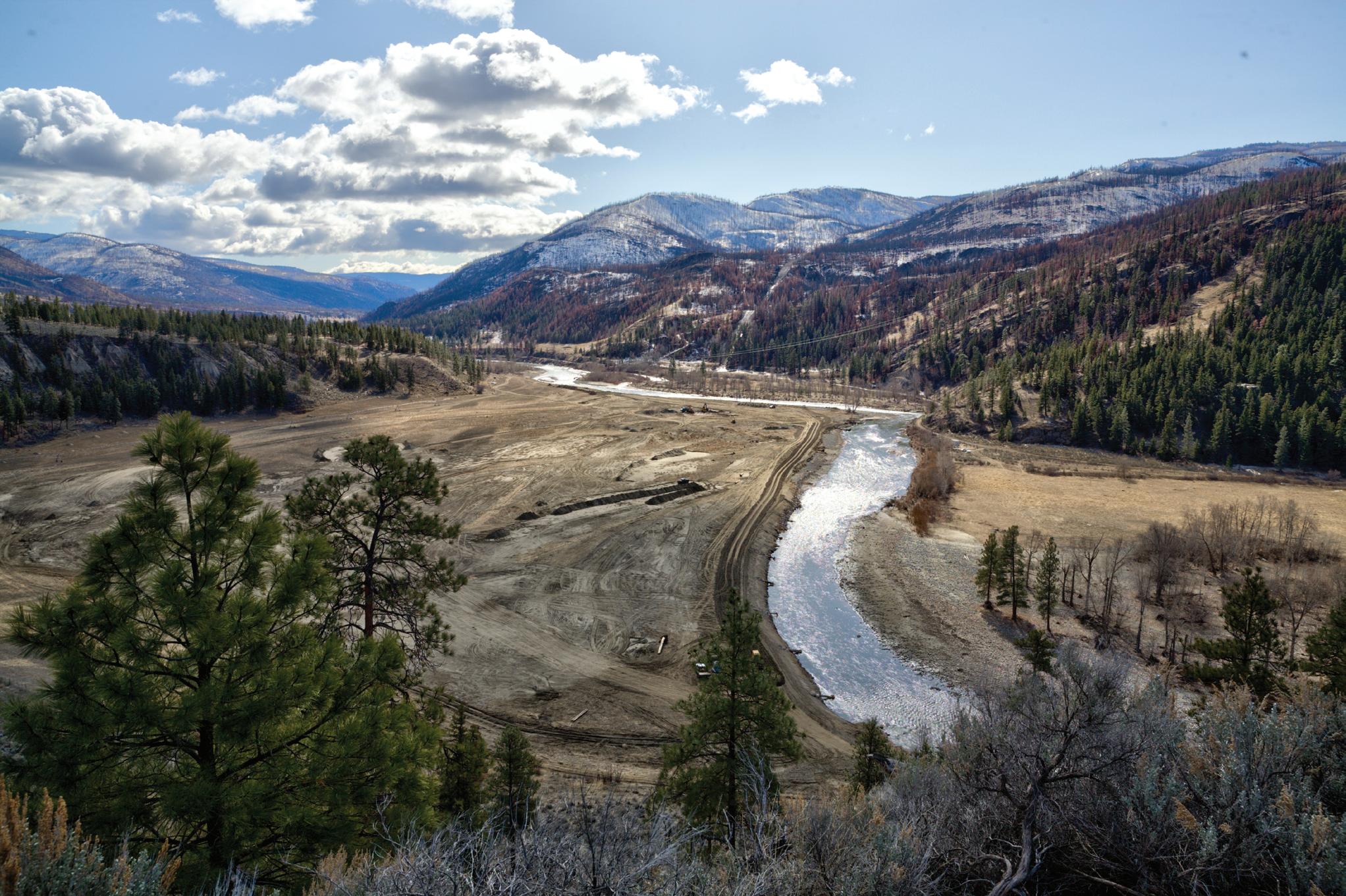
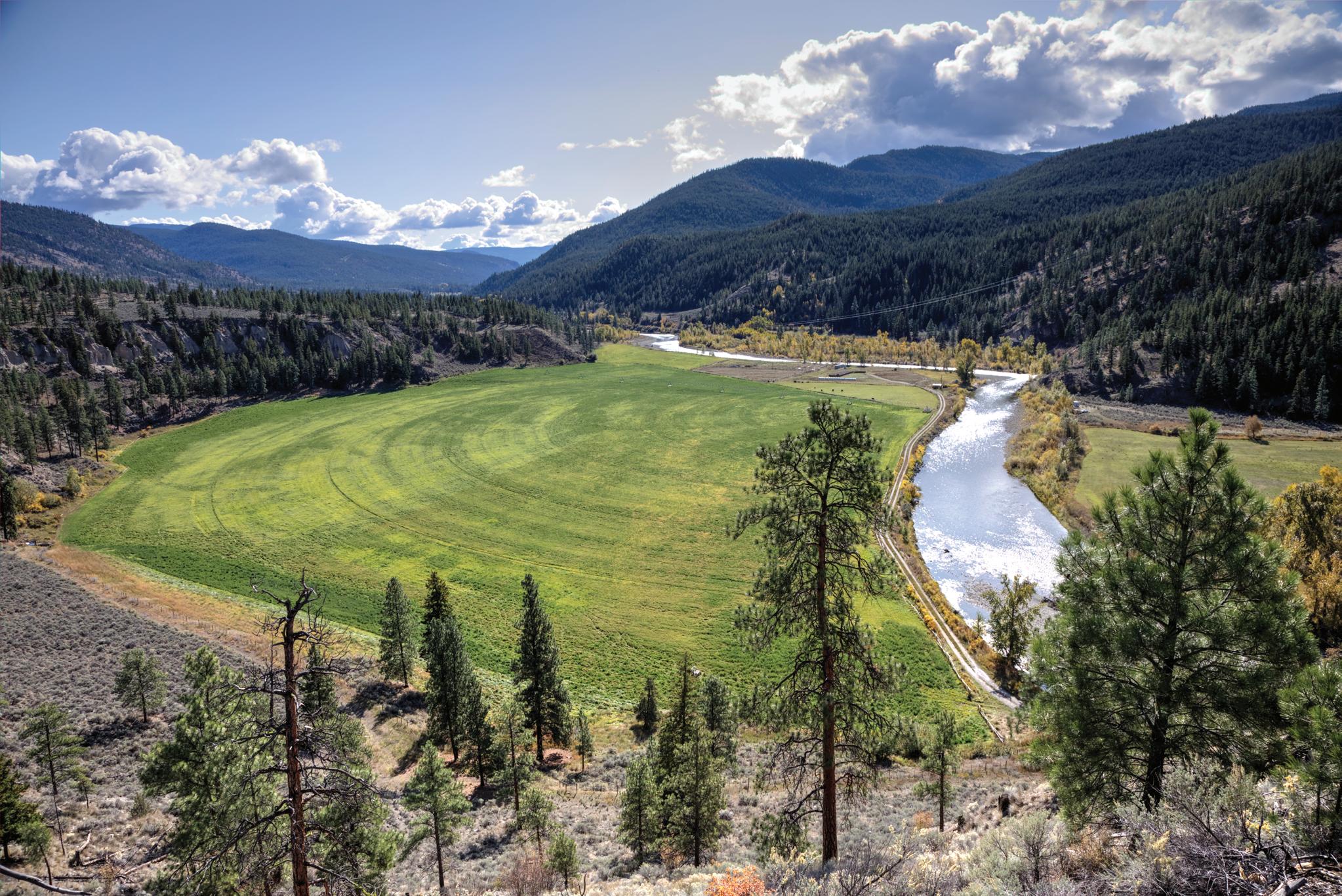
BC MAG • 57
A field on the Nicola River before and after the 2021 flooding and fire.
throughout southwest BC. The northern reach of the worst of it seemed to be the North Cascade Mountains. The Coldwater River was one of the rivers that carried this water away—and with a vengeance. In a report prepared for the Fraser Basin Council, BGC Engineering Inc. estimated the magnitude of the November 15, 2021, Coldwater River flood to be 400 cubic metres per second compared to a “normal” flood level of 70 cubic metres per second.
The flood ripped out roads, bridges and hayfields in the Coldwater Valley all the way to Merritt, where it caused millions of dollars in damage to buildings and infrastructure. The Coldwater River joined the Nicola River in Merritt and the rampage continued northwest to Spences Bridge and the Thompson River, taking out homes, hayfields, bridges and some 30 kilometres of highway along the way.
CRUISING DOWN THE RIVER (SORT OF)
While photographing the abundant arrowleaf balsamroot or secretive prickly pear cactus can be a prize, there are numerous diversions along the route from Merritt to Spences Bridge. With the junction of Highways 8 and 5A in Merritt as the Kilometre 0 reference, the first of these is Mamit Lake Road (Highway 97C) at Kilometre 5. This road leads north to Logan Lake and the Highland Valley as well as alternate routes to Savona and Kamloops.
Highway 8 then passes through the First Nations community of Shulus and then Lower Nicola, one of the first pioneer communities in the valley. The Roman Catholic Church of the Immaculate Conception at Shulus, built in 1892-93, is one of the oldest wooden churches in the region. It was damaged by an arson fire in 2019 but remains as a reminder of the past. Aberdeen Mine Road, at Lower Nicola, provides access to a network of lakes, backroads and trails in the Chataway-Pimainus area. The service station at the junction is the last chance for fuel and supplies before Lytton or Ashcroft.
Sunshine Valley Road West (at Kilometre 18) and Petit Creek Road (Kilometre 19) both link south to a network of roads and old sheep trails that could take you
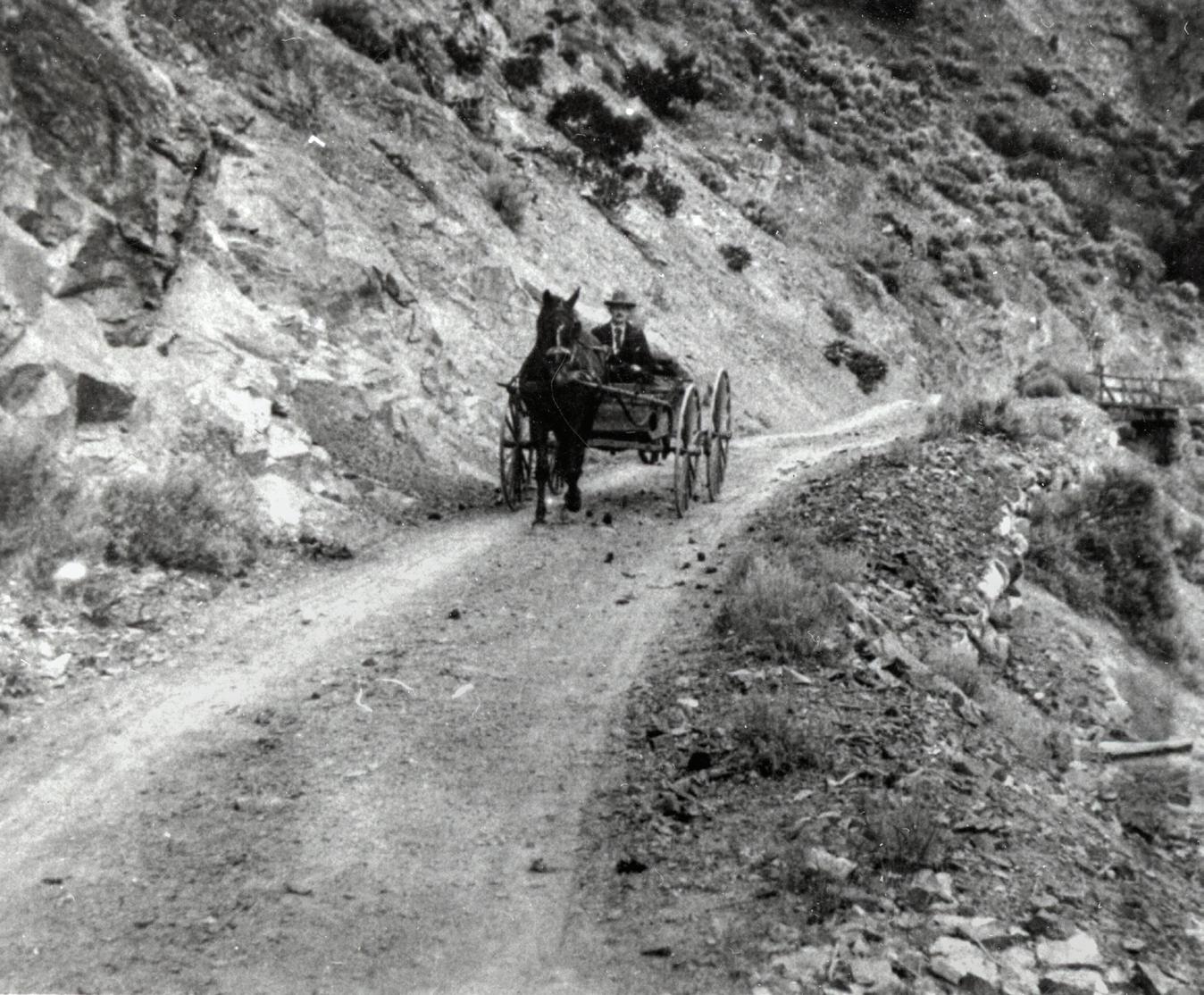
into the alpine of 2,282-metre Stoyoma Mountain.
It is near Petit Creek Road that the November 2021 flood destruction really becomes apparent. The old railway bridge across Spius Creek was left hanging from one abutment and part of the road bridge across the Nicola River was washed away leaving the Nooaitch community without access. The dry riverbed downstream is still littered with timber and debris swept down from who-knows-where.
HOMES SWEPT AWAY
Pre flood there was a farmhouse on the river side of the highway just downstream from the debris. All that is left is a gate. N’Kwala Forest Service Recreation Site, at Kilometre 22, tucked in the scattered pine and fir along the Nicola River, was a good location to park your RV or pitch a tent. While some of it remains, the river side section was also carried away.
A HARROWING ESCAPE
Amelia Washington’s story is indicative of the many that have emerged from the mid-November disaster. The water had started to rise at the Nooaitch Reserve just past N’Kwala in the morning of November 15, but Amelia thought there
was no imminent danger to her home and family.
The BC Hydro power went off at dusk. With only candles for light, the family decided to go to bed early. “I heard a really loud crack around 9:30 and it moved my bed,” said Amelia. “I screamed to my family that the house is caving in.”
It took a major effort to waken her extended family and pets and get them out of the house and into their cars. “The highway was already half gone. I thought it was black ice, but it was the river. We drove along the mountain side of the road and headed to Merritt,” added Amelia. It was months before the highway was reopened and Amelia was able to see that her home and several others were gone with nothing left but numbers on the fence posts.
PIONEER RANCHER
Dot Ranch Cutoff Road East, near Kilometre 30, will take you down to the former rail grade and several ranches. Dot was a station on the original railway to the Nicola Valley. It was named in honour of Dalton (Dot) Marpole, a well-known local rancher. Marpole died in a house fire in January 1908. The midsummer 2021 forest fire caused considerable damage and flooding did its best to
Murphy Shewchuk
58 • BC MAG
In the late1800s, the Nicola Valley served as a wagon route for local communities.
obliterate the small community.
Dot Ranch Cutoff Road re-joins Highway 8 a few kilometres later. For the next five kilometres the highway winds near the crest of a cliff with a few locations to park and enjoy the view of the valley below—with your emergency brake firmly set. Then the highway drops down to river level and the former site of Chief Anthony Joe Bridge, now one lone abutment with a replacement bridge under construction.
Look for prickly pear cactus in the sagebrush near here. After a rainfall in June and early July is usually the best time to find the elusive blossoms.
SHACKAN
The First Nations community of Shackan, at Kilometre 41, is the largest between Lower Nicola and Spences Bridge. The main community was spared, but riverside ranches lost fields and buildings to the November 2021 rampage.
While there have been scattered hayfields along the valley floor up to this point, they are getting farther and farther apart. Clapperton Ranch fields on both sides of the road and a narrow canyon below near Kilometre 47 mark the site of a “plug” that once trapped the glaciers in the Nicola Valley, creating a giant lake
as the ice melted. The smooth hillside on the southwest side of the valley are indicative of land that was once beneath the lake.
When the glacial plug finally melted, the water carved out a U-shaped valley, leaving little more than rock, clay cliffs and layers of gravel.
CLAY AND GRAVEL CLIFFS
In the final 15 kilometres to Spences Bridge, the highway followed one side of the winding Nicola River while the abandoned railway line followed the other. The two occasionally share the same side, forced into a companionship by the sheer cliffs that guide the river. These same cliffs funnel the summer winds up the valley toward Merritt. Coupled with summer temperatures that frequently exceed 40°C and the rain-shadow effect of the mountains to the west of the Thompson River, the winds help create a semidesert scene.
The scene could easily be one from an old John Wayne movie. It doesn’t take much to visualize a band of outlaws waiting to hold up a N, K & S train as it emerged from 10-Mile Tunnel.
HIGHWAY RELOCATED
Cyclists often parked at a riverside rest
area just downstream from the 10 Mile (Clapperton) Tunnel and rode a few hundred metres to photograph the entrance stonework. The rampaging river took out most of the rest area and railgrade, making that venture difficult today.
The highway destruction becomes unmistakeable a few kilometres farther downstream where a new one-lane bridge has been constructed to take the road to the west side of the river. A pullout along the two-kilometre detour is a safe space to view the scattered remains of Highway 8. The layers of glacial till on the west (left) side of the detour are indicative of the ancient forces that shaped the landscape.
Another one-lane bridge takes the highway back to the old route. If you are observant you may notice a broken line across the hillside on the opposite side of the river. This is all that is left of the railway that carried Nicola Valley coal and Okanagan fruit to market for over 80 years.
FARMS AND FRUITSTANDS
There are several farms in the last halfdozen kilometres to Spences Bridge. Those near the river lost land and buildings. Brandie MacArthur and Michael Coutts’ “Monkey in the Garden” farm lost five acres of gardens, buildings and chickens. They had a harrowing escape that required rescuing their cow and several goats with a helicopter. It was August 2022 before they had road access to their farm.
WAGON ROAD
If you had travelled the route prior to the 2021 flood, you might have noticed log cribbing on the cliffside opposite Three Mile and Rattlesnake bridges. This was a reminder of the original 1880s wagon road. “Was” is the keyword, as the flood took out the cribbing and more of the cliff leaving the stark hoodoos as a reminder of nature in action.
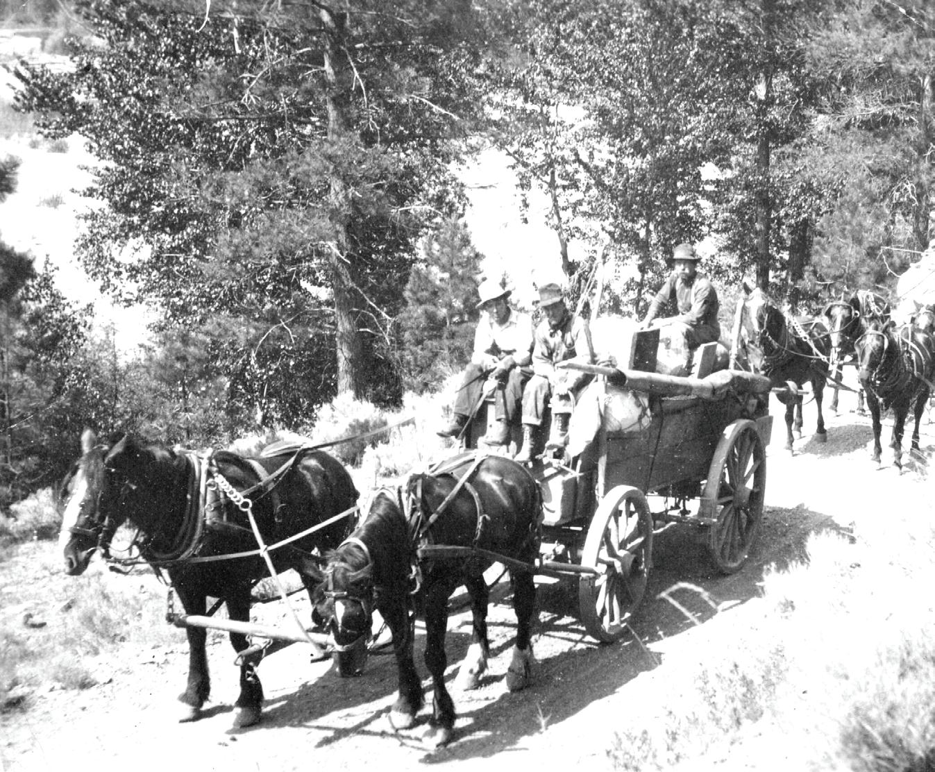
The last few kilometres to the Thompson River, Spences Bridge and the TransCanada Highway offer views of picturesque hillsides, green fields, and Cooks Ferry community.
The Inn at Spences Bridge (Kilometre 63.5) could be a good place to stop for lunch.
BC MAG • 59
EXCERPT
This adapted excerpt was taken from 125 Nature Hot Spots in British Columbia by Lyndsay Fraser & Christina Smyth, with permission from Firefly Books Ltd. It is available for purchase at the BC Mag bookstore at bcmag.ca/bookstore.
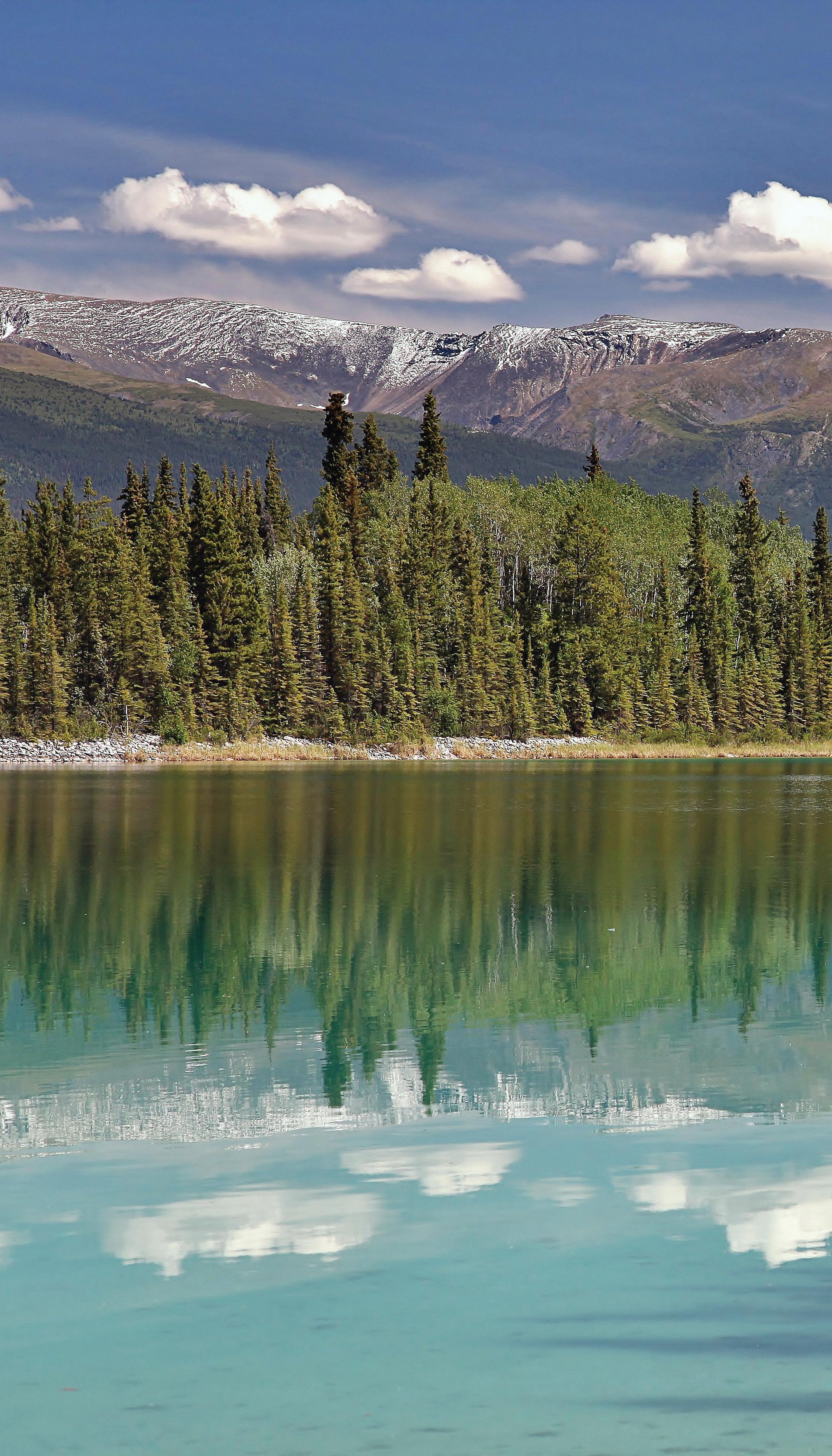 BY LYNDSAY FRASER
DOMINATED BY TOWERING mountains and craggy coastlines, Canada’s westernmost province is geologically diverse, and the nature hot spots found here are abundant and varied. British Columbia is one of the best places in the world for viewing large mammals—massive grizzly bears gathering at rivers and streams, humpback whales clownishly leaping and breaching along the coast and bighorn sheep clashing their horns on mountain sides. Of the country’s 15,000 species of fungi, 10,000 are in BC. Over 500 species of birds have been recorded in the province, and nearly half of the country’s reptilian and amphibian species can be found here. Many species, such as the Vancouver Island marmot and the hotwater physa, are endemic to BC. All of this translates to a province so naturally rich that there is something for everyone to enjoys. Here are five of the best lesser travelled nature hot spots worth the journey from our book, 125 Nature Hot Spots in British Columbia.
60 • BC MAG
5 NATURE HOT
Doug Fraser
THESE LESS-TRAVELLED NATURAL SANCTUARIES
NATURE
HOT SPOTS
NATURAL SANCTUARIES ARE WELL WORTH THE JOURNEY & CHRISTINA SMYTH
TĀ CH’ILĀ PROVINCIAL PARK
NORTHERN BRITISH COLUMBIA
A Paradise lake nestled in the boreal forest that feigns a tropical destination
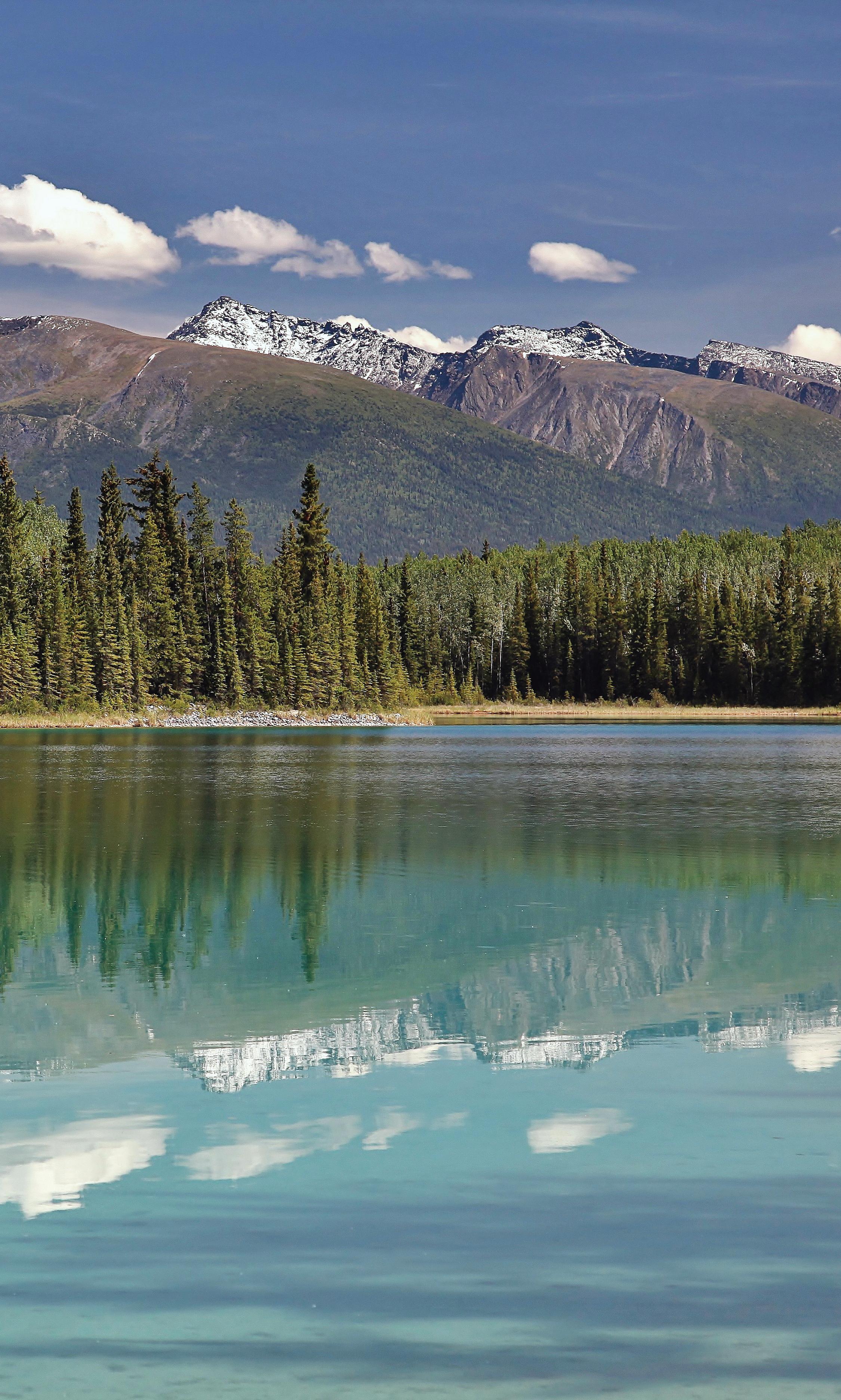
WHEN YOU FIRST arrive at the water’s edge in Tā Ch’ilā Provincial Park, you might need to pinch yourself to be sure you have not been transported to the Caribbean. Boya Lake’s stunning aquamarine colour is thanks to its marl bottom, consisting of a mixture of silt and shell fragments. The colour reflecting from the bottom through crystal-clear waters makes for a striking, almost tropical scene. A scan of the trees, wildflowers and snow-capped peaks will bring you back to northern British Columbia’s beautiful Liard Plain landscape. The body of water you see from the campground comprises only a small portion of the lake. Made up of many islands, complex winding inlets and channels, and other smaller bodies of water cut off from the main lake, the lake’s convoluted characteristics make it the perfect park for exploring by canoe or kayak.
Tā Ch’ilā Provincial Park has two short hiking trails worth exploring. The Lakeshore Trail loop, accessed from the north end of the campground, provides additional views of winding shoreline. From the south end of the day-use area a trail leads along an esker before retreating back down to the water. You may notice the water is less clear in this area of the park. As beavers drag branches and logs from the shoreline to their dams or lodges, dirt and debris mix in with the marl bottom. A viewing platform is set up for watching these beavers at work. Keep an eye out for them as they travel back and forth to pick up branches either for immediate consumption or to store for the winter ahead.
BC MAG • 61
On a sunny day, Boya Lake gives the impression of a more tropical paradise.
MANZANITA BLUFFS
SUNSHINE COAST
Enjoy this nature hot spot as part of a rewarding day hike or as just one stop on an incredible 180-kilometre trek across the upper Sunshine Coast
THE SUNSHINE COAST Trail exists thanks to an amazing team of outdoor enthusiasts who banded together to link some of the most beautiful nature areas across the Sunshine Coast, resulting in a 180-kilometre-long hiking trail. It travels through the traditional territory of the Tla’amin and shíshálh Nations, spanning the entire upper portion of the Sunshine Coast, from the mouth of Desolation Sound to Saltery Bay.
The full length of the immaculately maintained trail can be conquered by experienced backpackers. There are also great day trip opportunities, with access points throughout the trail that allow these beautiful nature areas to be visited in bitesized chunks.
To access Manzanita Bluffs as a day trip, the Malaspina Road is a great starting point. Along this stretch you’ll move through several distinct ecosystems. Mosses and lichens blanket the exposed rocky hillsides and be on the lookout for the
many beautiful flowers that briefly bloom along the trail, including sugarstick, western starflower and Pacific coralroot.
The Manzanita Bluffs look out over the Salish Sea with perfect views of Savary Island and the Copeland Islands. The namesake of this bluff, Columbia manzanita, is abundant at this elevation. This twisted evergreen shrub is a relative of the arbutus tree, evident in its smooth bark that flakes and peels over time. There’s ample bird activity; western tanagers and other songbirds flit about the large arbutus and old-growth Douglas-fir that also grow along the bluffs.
For those planning to camp along the Sunshine Coast Trail, it’s recommended that you purchase a copy of the Sunshine Coast Trail Guidebook by R.E. Walz to gain access to a great depth of information and to support the team that keeps this trail in incredible condition.
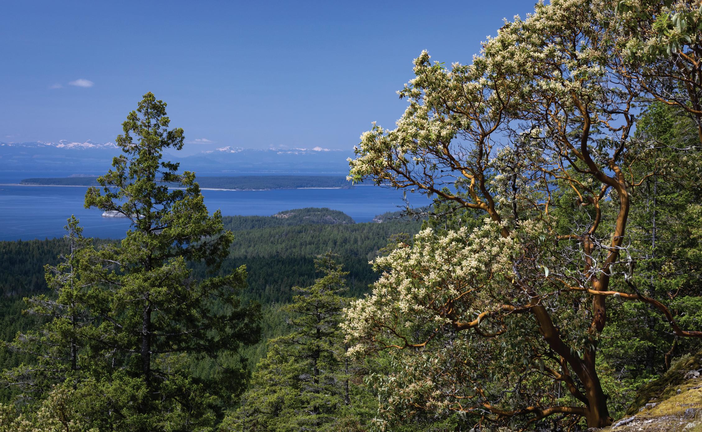
62 • BC MAG
Doug Fraser
The Manzanita Bluff offers incredible views of nearby islands and the Salish Sea.
MARBLE MEADOWS
VANCOUVER ISLAND
Walk on an ancient ocean floor high in the mountains while searching for fossilized marine life beneath your feet
THE JOURNEY TO Marble Meadows is a part of its magic. Paddling across Buttle Lake to access the Marble Meadows Trail, boaters float atop an old forest. Marble Meadows is 1,300 metres above Buttle Lake, and the landscape between the two moves through old-growth forest, subalpine meadows, and is capped by water-carved limestone.
On the western edge of the meadows, a blocky ridge connects two prominent peaks: Mount McBride and Morrison Spire. This ridge offers panoramic views of Strathcona Provincial Park, including the tallest mountain on Vancouver Island, the Golden Hinde. Yellow of cinquefoil, the white of matte saxifrage and the purple of western sweet vetch pop out in bunches amid blocky limestone.
Below the stunning scenery and between the alpine plants lie an abundance of 280-million-year-old fossils. It may be hard to believe that this was once an ocean floor but for the
embedded crinoids, brachiopods and other marine creatures. Crinoids are by far the most abundant fossil found here and are a type of marine invertebrate with stalk-like bodies that anchor onto rocks, a holdfast, and beautiful feather-like arms extending into the water, giving them their nickname “sea-lily.”
Strathcona Provincial Park is home to many animals, including elk, cougars and a variety of birds. Experienced hikers can continue on through more challenging terrain to other trails in the park or experience the meadows as an inand-out hike.
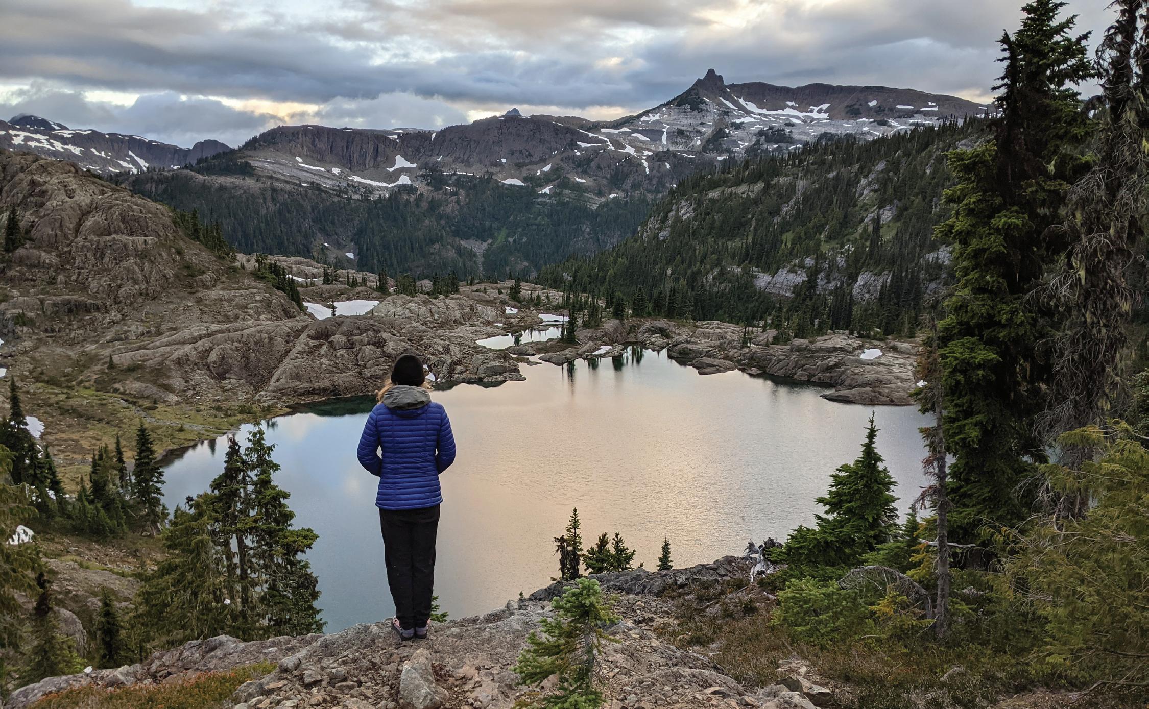
BC MAG • 63
Christina Smyth
Morrison Spire, as seen from Wheaton Lake.
NISGA’A MEMORIAL LAVA BED PROVINCIAL PARK
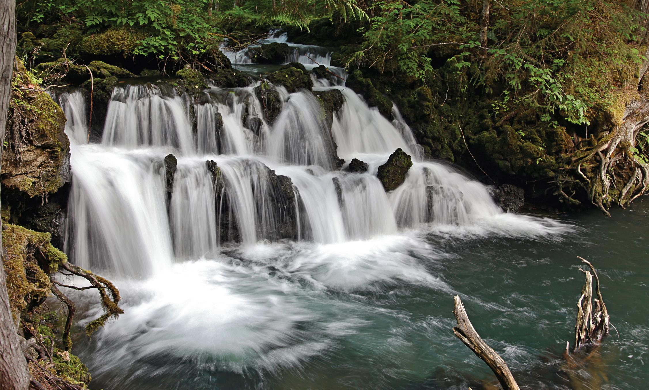
The dramatic landscape resulting from one of Canada’s most recent volcanic eruptions is rich in both history and species diversity
ALMOST 300 YEARS ago, a volcanic eruption burst forth from the Tseax Cone. As molten rock spilled from the crater, it covered everything in its path, including two Nisga’a villages, and tragically killed more than 2,000 people. Nisga’a Memorial Lava Bed Provincial Park (Anhluut’ukwsim Laxmihl Angwinga’asanskwhl Nisga’a), co-managed by the Nisga’a people and BC Parks, remains a memorial site for those lost, an amazing opportunity to learn about the Nisga’a Nation and their history, and a chance to experience a unique nature hot spot.
The expansive lava beds still dominate the landscape, providing an opportunity to investigate the slow and dramatic return of life to this harsh, barren landscape. Lichens were the first species to establish on the lava rock, encrusting the rubble. Although vast portions of the lava fields still only support lichens and a few tough, low-lying plants, areas near water sustain the growth of large trees and a healthy forest community. In some areas, the lava rock is 12 metres deep and buries the rushing waters of Lax Mihl (Crater Creek), flowing through underground passageways.
Beautiful falls found within the park are easily accessed through short, flat, well-maintained trails. Rushing water hits the calmer flow of a turquoise stream, surrounded by dense conifers and a moss-covered forest floor. Ksiluuyim Agiiy (Vetter Falls) is a stunning set of waterfalls where glacier-fed waters spill over a short ledge before continuing downstream.
As the lava flowed across the landscape it surrounded, toppled and burned large trees. In some cases, when the lava cooled quickly enough around a tree, it formed a mould of the tree. which burned or rotted away, leaving dramatic hollow tubes. This area is also a great place to examine some small but tough inhabitants of the lava beds. Three-toothed and spotted saxifrage root in the cracks, and the bubbly green and bright red leaves of spreading stonecrop form small mats. The Nisga’a call them lava berries.
The only way to access the Tseax Cone is through a guided hiking tour, for the protection of this important and sensitive area. Tours begin from the visitor centre, built in the style of a traditional longhouse with interpretive displays on the history and culture of the Nisga’a.
64 • BC MAG
CENTRAL BRITISH COLUMBIA
Doug Fraser
Ksiluuyim Agiiy (Vetter Falls) cascades artfully into turquoise waters.
NOOTKA ISLAND
VANCOUVER ISLAND
Where ocean and forest meet to form a stunning coastal landscape with a rich history
HUMPBACK WHALES BLOW sprays of water against the horizon, colourful nudibranchs live in tidepools on the rocky shores, and coastal wolves roam the sandy beaches. Remote Nootka Island has one of the most beautiful coastal landscapes BC has to offer. It is often experienced by hiking the 34-kilometre Nootka Trail, which is rich in both natural and First Nations history.
The small village of Yuquot at the southern end of the island has been occupied by the Mowachaht people for over 4,300 years. Here, a church contains interpretive signs and carvings where visitors can learn about the history of the island.
During spring and summer the sprays of humpbacks, grey whales, orcas and porpoises project from the ocean surface as they surface for a breath. Seals and sea lions are often visible sunning themselves on rocky points. Wolf tracks are a common sight on the sandy beaches of Nootka Island, and lucky hikers may even see a wolf digging for clams or relaxing in the sun. Coastal wolves are genetically distinct from their inland relatives and bridge marine and terrestrial ecosystems.
Between the worlds of the whales and the wolves, another magical space exists. Tidepools and channels in the rocky shelves offer a delightful insight into the biodiversity of the
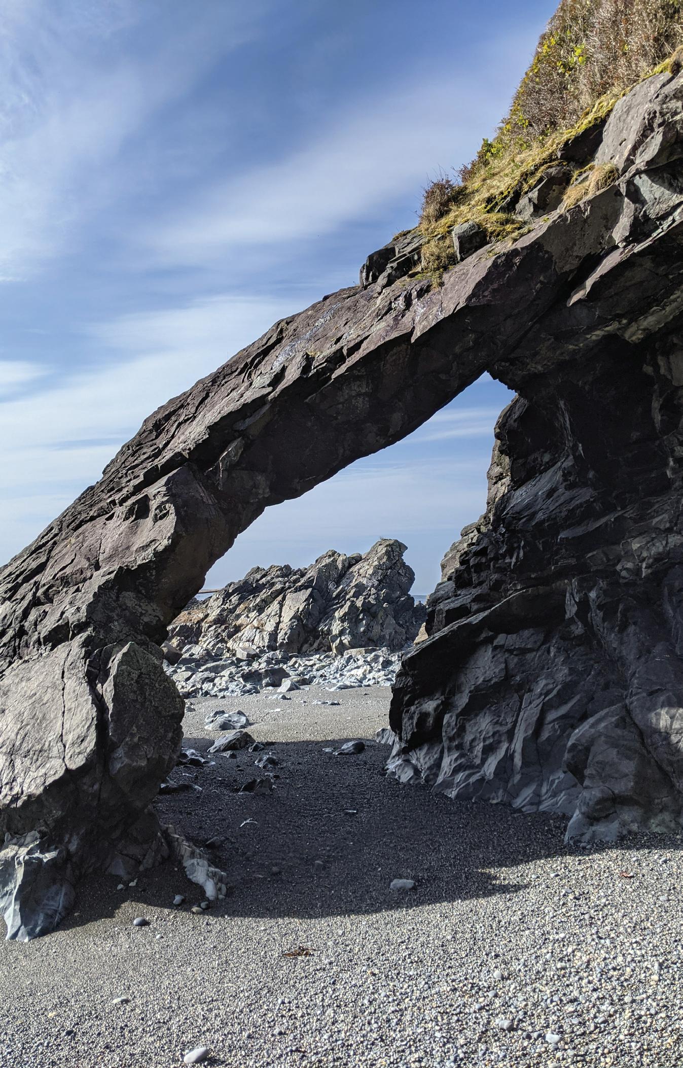
Pacific. Limpets, crabs, chitons, anemones, sea stars and others make their homes in the area between the lowest low tide and highest high tide.
On Nootka Island it is easy to see that the forest and ocean are deeply intertwined and why it is critical that we protect both ecosystems in our changing world.
BC MAG • 65
Christina Smyth
Unique rock formations can be found along the coastline.
SAVING BC, ONE HECTARE AT A TIME
IT HAS BEEN A BIG DECADE FOR LAND CONSERVATION IN BC, AND THINGS ARE LOOKING GOOD FOR THE FUTURE
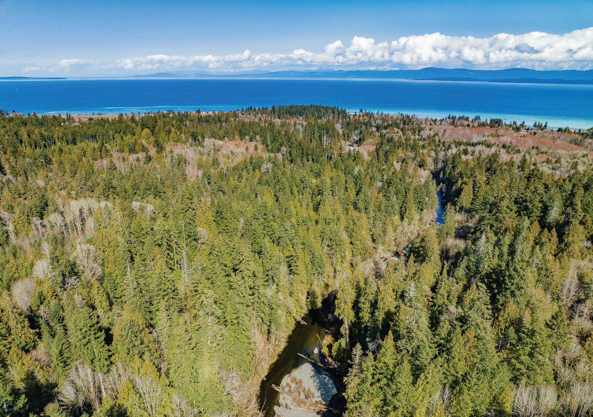 BY DIANE SELKIRK
66 • BC MAG
From 35 hectares in the heart of the Fraser River near Agassiz that will be restored and rewilded; to 66.9 hectares of marsh and swamp wetlands on Columbia Lake North, in Ktunaxa Nation territory; to 290 hectares of headwaters in the Morrison Creek watershed in Comox, you may have noticed more land-conservation announcements than ever in the news.
Heralded by environmentalists as one of the most exciting, and critical, decades in BC’s conservation history; sensitive ecosystems are being protected and conserved at a considerable rate.
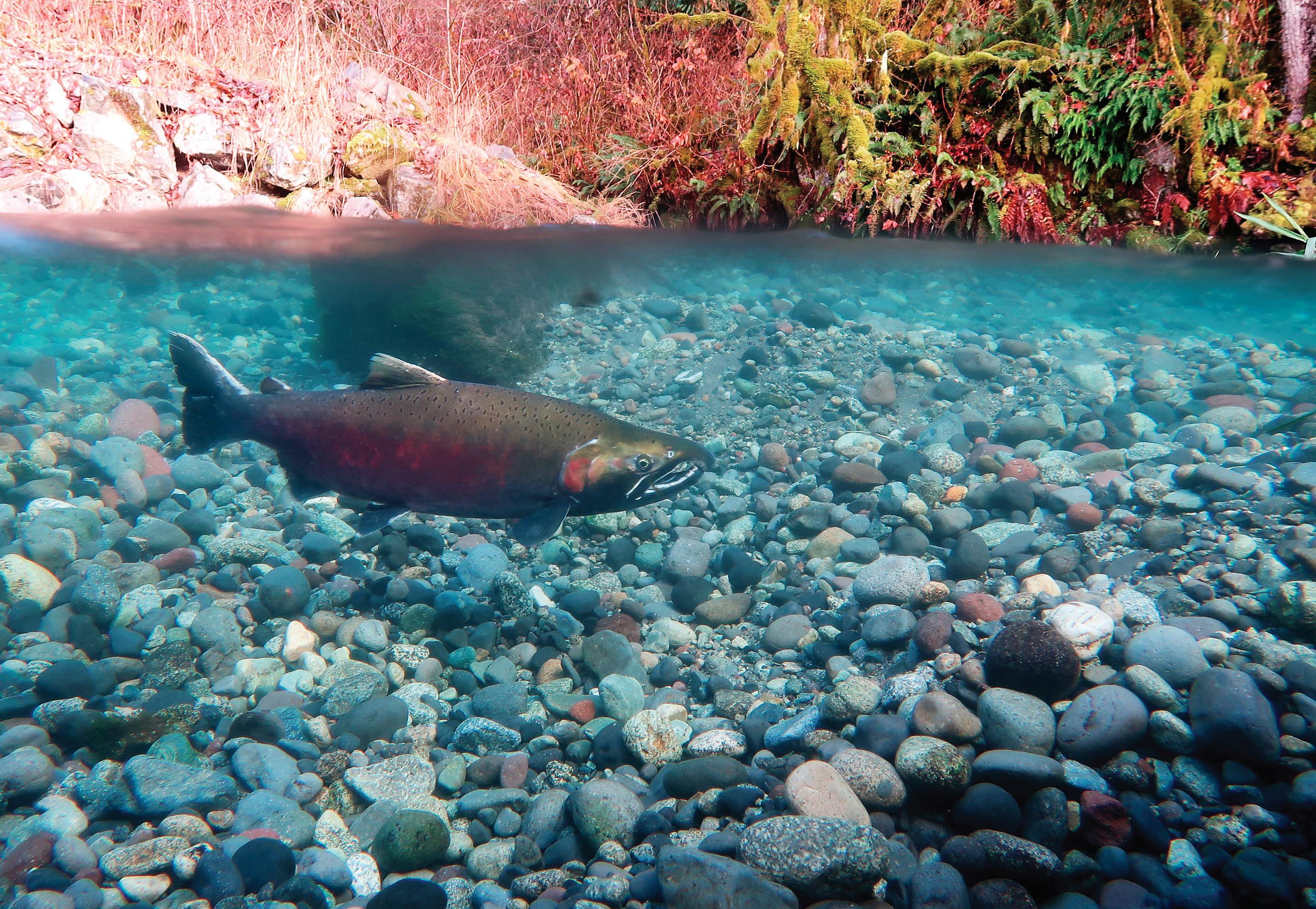
The reasons are pretty straightforward: Natural landscapes that are mostly free of human disturbance are increasingly recognized as vital to our wellbeing.
“One of the most direct ways to fight the effects of climate change is through land conservation,” Andrew Day, CEO of BC Parks Foundation (the official charitable partner of BC Parks) explained during an interview. “Beyond the recreation and cultural benefits, these areas store carbon and protect biodiversity.”
Traditional conservation in BC can take years of lobbying and often focuses on protecting remote swaths of
BC MAG • 67
Left & Above: The Nature Trust raised over $2 million to create a conservation area on the Little Qualicum River.
Courtesy Nature Trust X2
unceded territory: Consider the 1980s Indigenous-led movements to protect Meares Island in Clayoquot Sound, Gwaii Haanas in Haida Gwaii, as well as the more recent agreement to conserve the Incomappleux Valley, east of Revelstoke. In contrast, groups like BC Parks Foundation (which, since its inception in 2018, has protected over 5,700 hectares) and the Nature Trust of BC have taken a more targeted approach; they use public partnerships and donations to buy private land that has high conservation value. While the areas these groups conserve might not seem significant in terms of hectares, they often include important ecosystems that are under-represented in our network of protected areas. They also offer a bonus, allowing ordinary people to play an active role in conservation. “Donations come in all sizes from thousands of people who want to keep BC beautiful,” said Day. “That’s the beauty of (crowdsourcing)—people are moved to do what they can and it adds up to make something wonderful and lasting happen.”
THE PATH TO 30 BY 30
Scientists really aren’t certain how much land needs to be conserved to reverse the decline in biodiversity and better fight climate change. But during the 2022 UN biodiversity conference, COP15, roughly 190 nations signed on to the idea that we should aim to protect at least 30 percent of the planet’s land and water by 2030. A campaign called 30 x 30.
In December 2022, the BC government committed to the 30 x 30 goal; joining federal and global efforts to safeguard nature and reverse losses to biodiversity. The commitment to almost double the area of BC’s protected land base was made in Premier David Eby’s mandate letter to Nathan Cullen, BC’s Minister of Water, Land and Resource Stewardship. Eby instructed Cullen to partner with the federal government, industry, communities and Indigenous Nations to reach the 2030 goal.
“We have seen the impacts of shortterm thinking on the British Columbia land base—exhausted forests, poisoned water and contaminated sites,” Eby
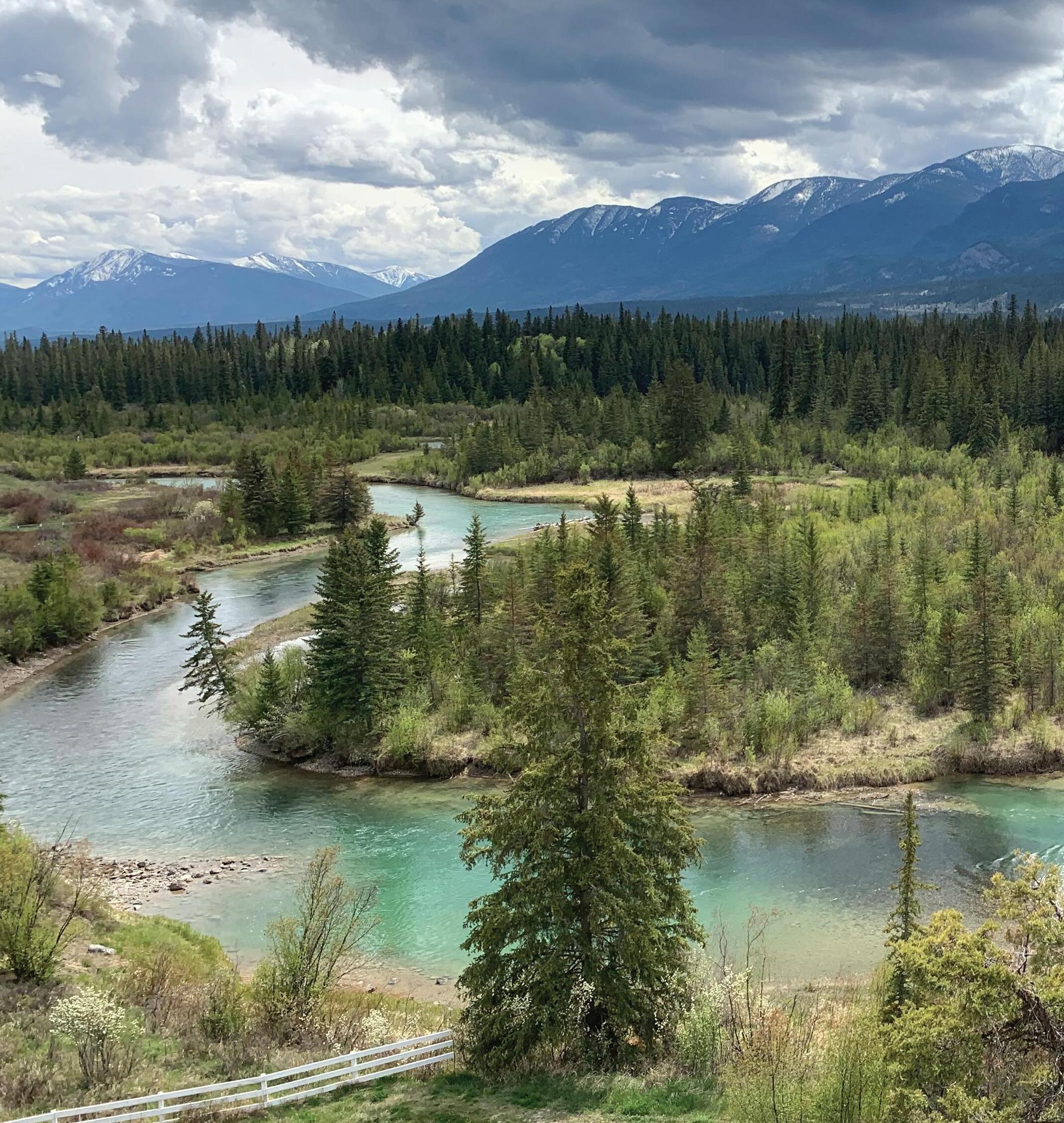
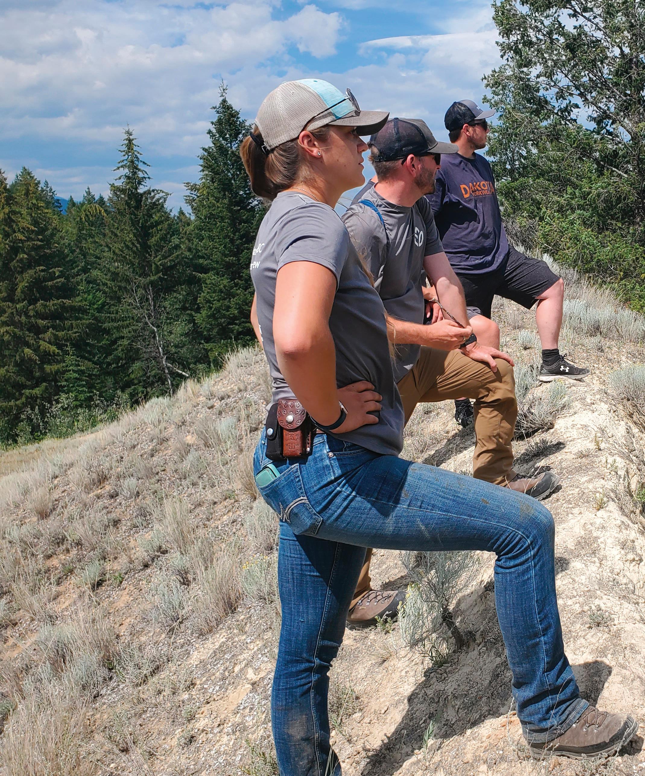
68 • BC MAG
The teams at Nature Trust work to conserve and rehabilitate land.
wrote. “These impacts don’t just cost the public money to clean up and rehabilitate, they threaten the ability of entire communities to thrive and succeed.”
Globally, only about 15 percent of the planet’s land and freshwaters are protected. And, as many environmentalists point out, a lot of this land is poorly managed, or made up of scrub, rock or ice. According to the Globe and Mail, roughly 18.5 million hectares of BC are currently protected and conserved; which is about 18 to 20 percent of the province’s total land mass (The number of parks in BC has increased from 385 to 1,032 since 1985). While this puts us ahead of the global average, and within reach of the 30 x 30 goal, BC is home to the most biodiversity, and most endangered species, in all of Canada.
CHOOSING WHAT TO PRESERVE
The Columbia Lake North Wetlands—165 acres (66.9 hectares) of ecologically important land near Fairmont Hot Springs—were successfully conserved through donations to Nature Trust.
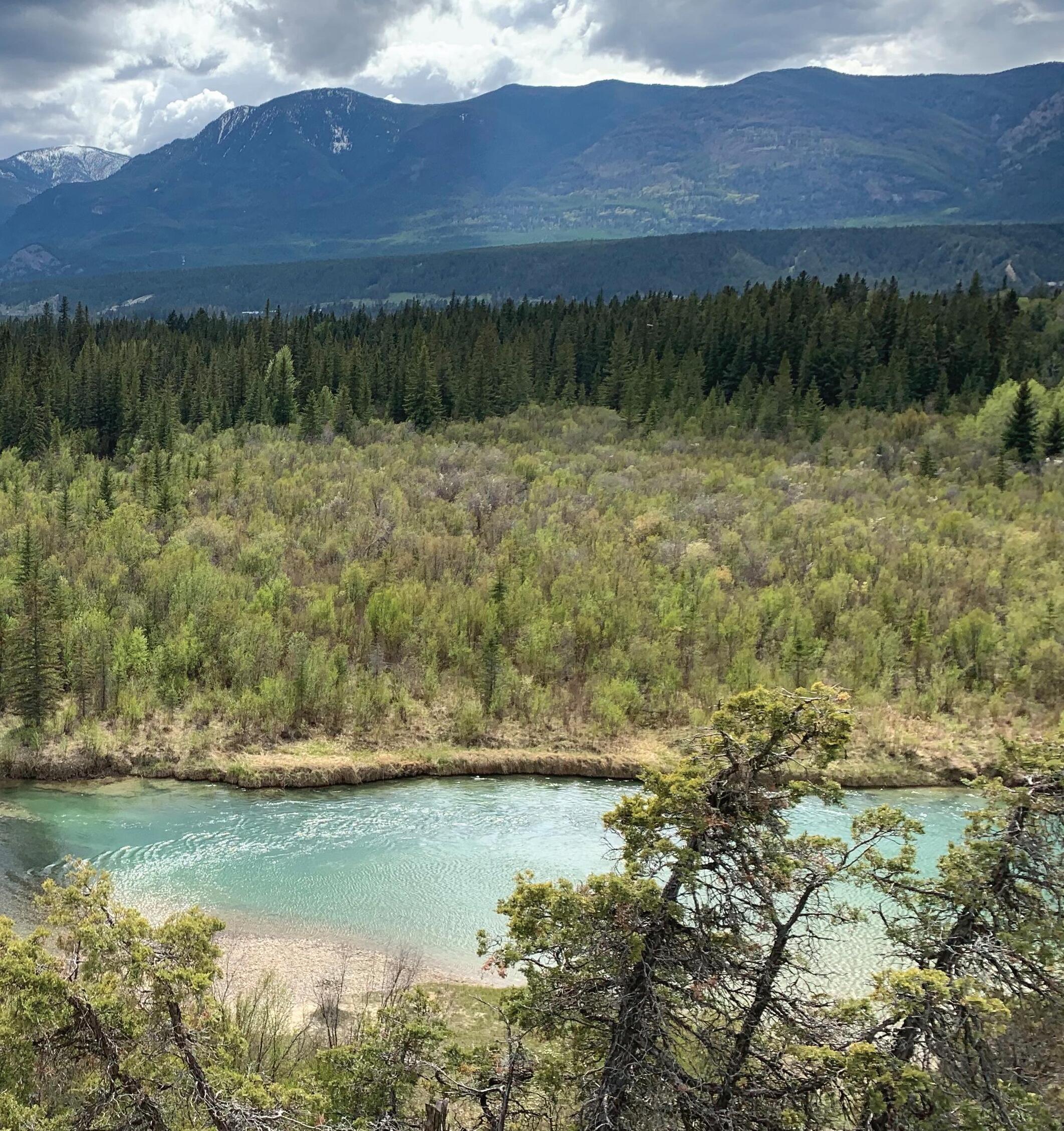
Anyone who has travelled in the province knows it’s a remarkably varied place. Between the rugged coastlines, coastal and inland forests, alpine meadows, grasslands and marsh areas, the landscape is made up of an estimated 600 ecosystems across 14 bioclimatic zones. Of these, at least 88 ecosystems are thought to be at risk. But organizations including the Wildlife Conservation Society Canada, say it’s hard to know this for sure, because overall ecosystem health isn’t tracked as extensively as the status of individual species. So, without a clear sense of what should be protected, conservation efforts often depend on what each organization focuses on, as well as on what land might come up for sale.
While only about six percent of the land base in BC is privately owned, in an interview, Jasper Lament, CEO of the Nature Trust of BC, explained that many of the province’s most endangered ecosystems are represented across these landscapes; making private land a good option for conservation. Since it was formed in 1971, the Nature Trust has been able to protect 500 properties across the province.
By focusing on four at-risk areas: coastal douglas-fir, bunchgrass,
BC MAG • 69
Courtesy Nature Trust
ponderosa pine and interior douglas-fir, the Nature Trust uses science-based criteria to evaluate each potential acquisition based on its ecological significance, purchase cost and how much management the land might need. It was this equation that helped the Nature Trust prioritize the 15-hectare habitat along the Little Qualicum River, on Vancouver Island.
Priced at just over $2 million, Nature Trust started a crowdfunding campaign for the Little Qualicum land in 2023, in part because “one-third of the property contains veteran trees, which have been in the area for up to 250 years and can absorb and sequester large amounts of climate-warming carbon.” Other considerations included the fact the river provides habitat for a variety of at-risk and endangered species such as the surf scoter, purple martin, barn swallow and northern myotis as well as chinook, chum, steelhead and coho salmon.
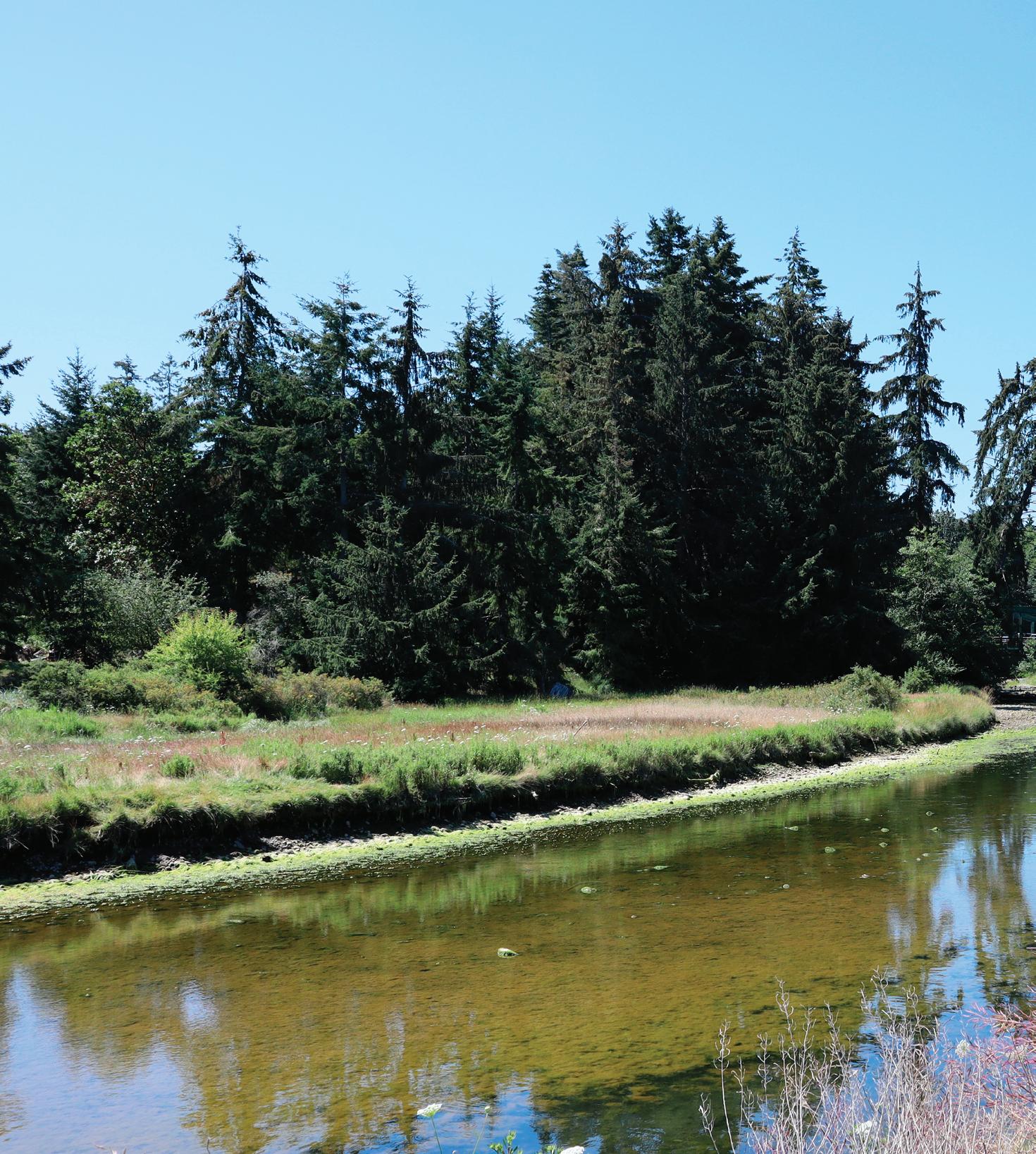
“Salmon provide such a service to these ecosystems. Not only do they nourish the species that live in the area, but they also keep forests healthy.” Lament said as part of the crowdfunding campaign, as the organization worked to raise the final $125,000 needed for the purchase.
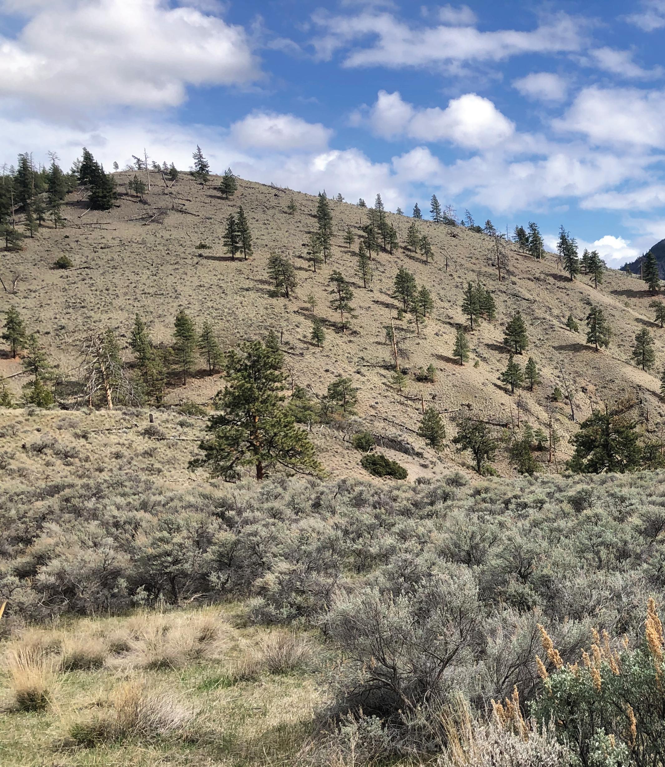
FROM $10 TO $100 MILLION
While big donations, like a record breaking $100 million from billionaires Chip and Summer Wilson, make the news and are like “rocket fuel” to conservation organizations, every dollar and donor matters. (The 2022 Wilson donation resulted in three new BC Parks Foundation conservancies: Falling Creek Sanctuary near Chetwynd, Teit’s Sanctuary at Spences Bridge and Bourguiba Springs outside Osoyoos.)
When reflecting on the foundation’s first crowdfunding campaign, when more than 1,000 students, nature lovers, sailors and others raised $3 million for Princess Louisa Inlet, Day said that the many people who gave $10 or $15 showed the power of community—and the love people have for BC.
It’s also likely that these small donations help influence the larger donors. In March 2022, Age of Union, led by
70 • BC MAG
The BC Parks Foundation led an effort to raise over $5,180,000 in donations to purchase 18 acres of estuary land and join it to five acres of existing protected area, for a 23acre nature reserve in the French Creek Estuary.
tech leader and environmental activist Dax Dasilva, made a $14.5 million donation to BC Parks Foundation. Dasilva credited the widespread support for the foundation’s crowdfunding campaigns as a factor in the donation. Dasilva, who was born and raised in Vancouver and spent his teens protesting the logging of old-growth forests in Clayoquot Sound, said he hoped his donation wouldn’t just preserve the land but, “inspire others to take similar action both locally and around the world.”
With the Age of Union donation, BC Parks Foundation was able to protect two ecologically valuable areas threatened by urban development: the Pitt River watershed and the French Creek estuary (as a side note—conservation groups stay in contact with each other, so they never end up competing on a land deal).
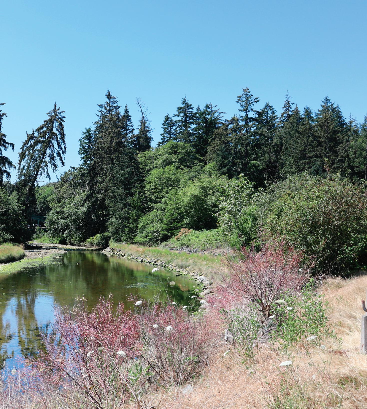
With French Creek, especially, the campaign was driven by the local community, who wanted to save the important eagle sanctuary from development—support that both the Age of Union and BC Parks Foundation say is vital to success. On their website, Age of Union explained that while relying on big donors can save time, empowering people to save the places they love is crucial to conservation.
While French Creek isn’t yet open to the public (almost all conserved areas offer public access), the nature reserve is hard at work developing a management plan so that the eagles and other wildlife won’t be disturbed by future visitors. Eventually though, the people who saved French Creek will be able explore the estuary they bought; spotting eagles as they nest in the towering red cedars or swoop down to catch salmon as they spawn in the reserve’s two creeks.
“We cannot protect something we do not love, we cannot love what we do not know, and we cannot know what we do not see. And touch. And hear.”
Richard Louv wrote in Last Child in the Woods. In BC, conservation organizations offer us proof of this, with each hectare that’s saved—we’re reminded there’s so much to love.
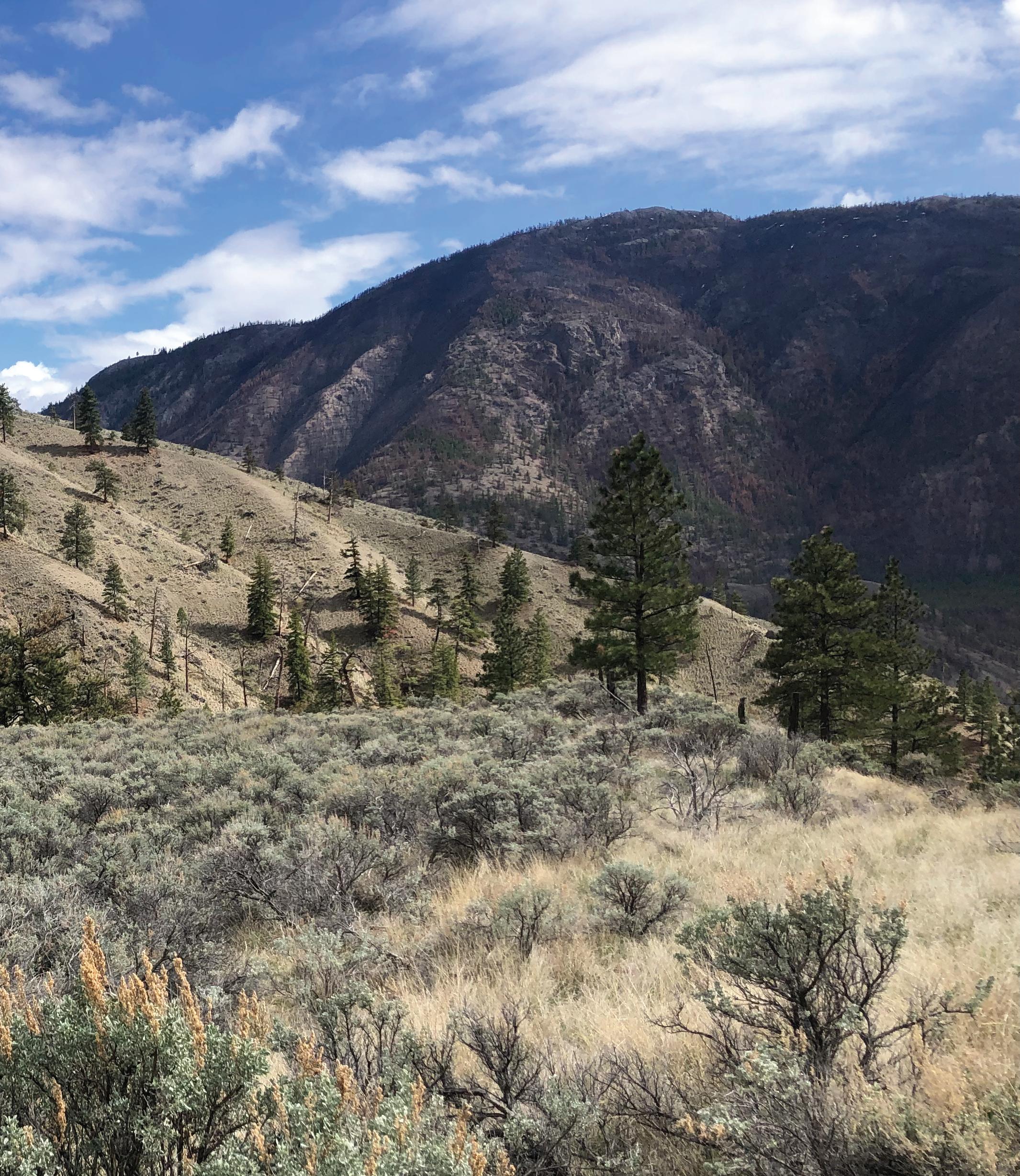
BC MAG • 71
BC Parks Foundation helped community groups protect 41 acres of sagebrush-dotted grasslands at the Bourguiba Springs property in the South Okanagan.
Courtesy BC Parks Foundation X2
TOURING TAHSIS
A remote Vancouver Island village known for caves, waves and raves
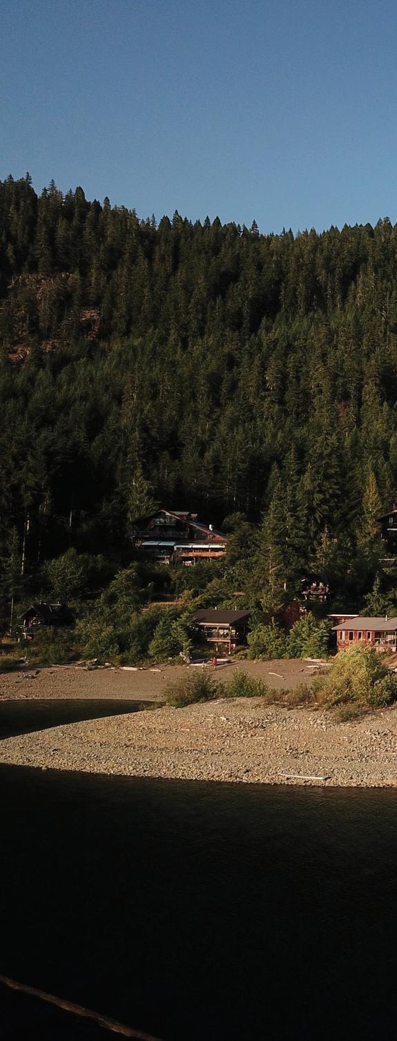
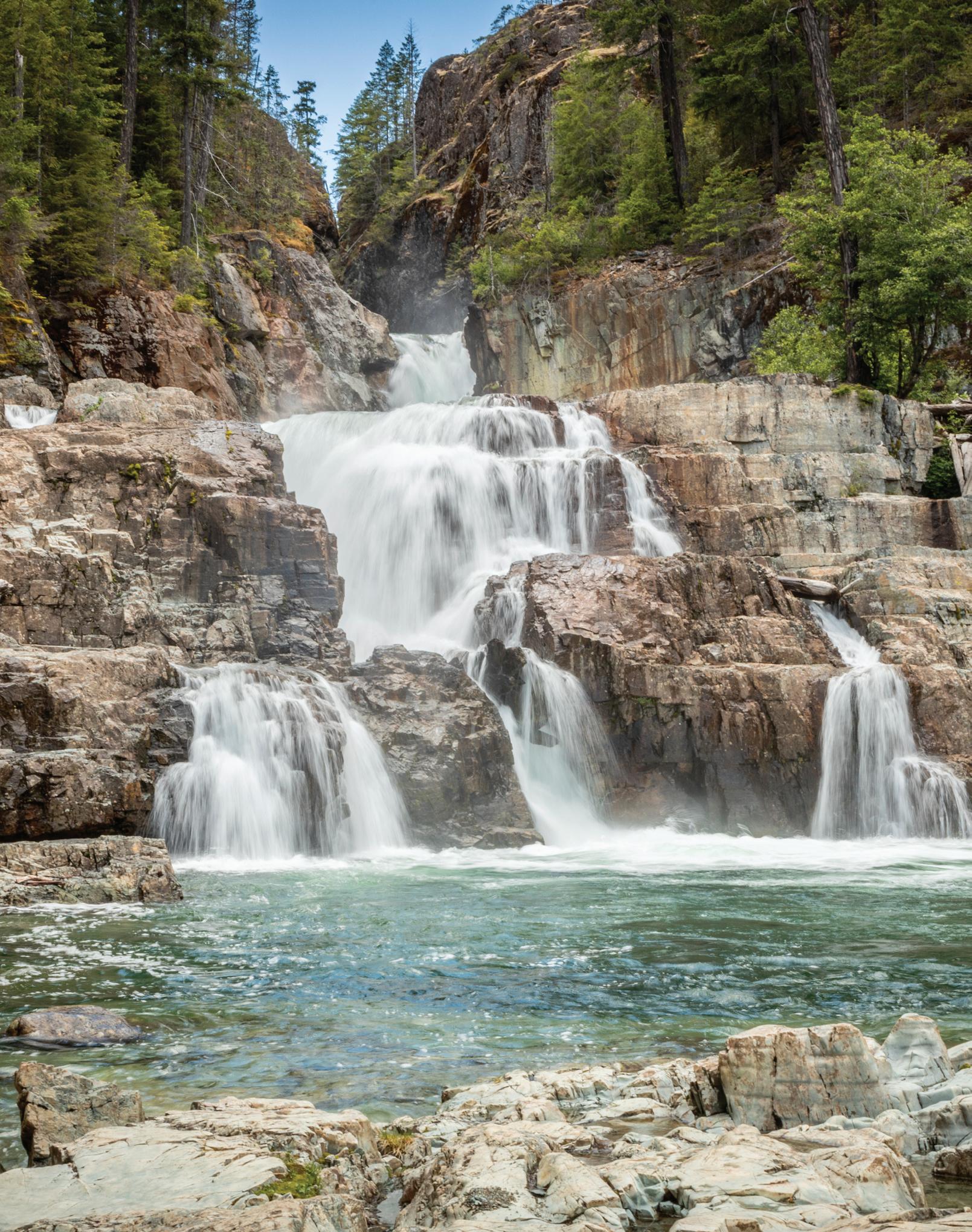
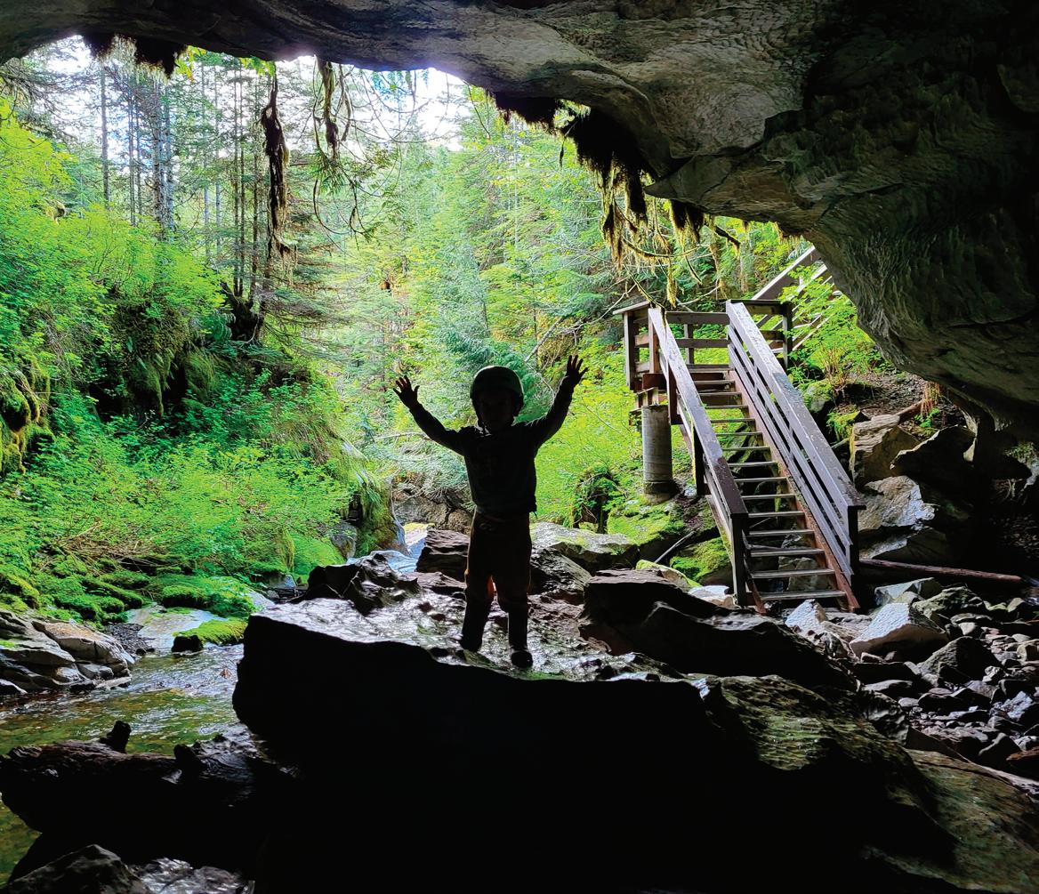 BY CHERIE THIESSEN
T
Tahsis is both a road trip and a destination, combining everything in one adventure: history, old growth forests, waterfalls, caving and hiking. Then add lakes, mountains and sea to the mix. Located at the head of scenic Tahsis inlet, the village is well known as a perfect location for kayaking, fishing and scuba diving. My partner, David, and I decide to visit on a moody spring day, breaking up the trip with a stay at Strathcona Lodge just outside the Strathcona Park boundary. We prefer hitting places in their off season, when they’re just coming out of hibernation, sleepy and slow, so seeing ‘closed’ signs doesn’t deter us a bit. With Strathcona Lodge in our sights, which combines luxurious cabins with friendly young staff, lakefront
72 • BC MAG 72
BACKYARD
SUMMER
GETAWAYS
Upana Caves.
Top: Adobe Stock/Sharon; Above: Luke Charlton
views, nearby hikes and delicious food, we know it’s going to be all good.
Once we’re past Qualicum Beach, the highway calms, the forest elbows in and the peaks have more attitude. When turning on to lonely Hwy. 28 from Campbell River, the road calms even more, bisecting Vancouver Island as it heads west to Gold River past Upper and Lower Campbell lakes and our overnight nirvana at the edge of the province’s oldest park. 250,000-hectare Strathcona became a park in 1911.
The Strathcona Park Lodge and Outdoor Education Centre, an off-thegrid resort, with 65 hectares on Upper Campbell Lake, was the dream of Jim and Myrna Boulding, who opened it in 1959 as a fishing lodge. In the 1970s, its mission broadened into outdoor education and now the centre has become internationally famous. The couple had five children and their son Jamie took over in 1993 as president with his partner, Christine Clarke, as executive director. The property was the first resort to exceed Green Tourism Standards; when we take possession of our new cottage overlooking Upper Campbell Lake, we realize that going green doesn’t necessarily mean compromising comfort.
With the fire crackling in the fireplace and the warmth emanating from the floors, we pour our prosecco and head out to our deck, anticipating the sunset and a hearty dinner. The restaurant just opened for the season yesterday.
Tomorrow, the ‘adventure’ part of the trip begins. It’s only 41 kilometres to Gold River but it takes us two hours, as we explore short trails to both nearby Lupin Falls and the better known Upper and Lower Myra falls, the latter just slightly off our route. Both trails are under one kilometre, and while the trail to Lower Myra Falls might be even shorter, the steep path makes it a real calorie burner.
Soon after, we’re perusing the large billboard at the entrance to Gold River that outlines the attractions on the Tree to Sea Road. A large wooden boot looms nearby, commemorating the Great Walk. A Tahsis Lions Club initiative, the Great Walk was an annual
walk from Gold River to Tahsis that started in 1977 and raised over a million dollars for charities before its demise a few years ago. It’s 66 kilometres to Tahsis from here on an active dirtand-gravel logging road built in 1972. It is still the only route for wheels. Let the adventure begin!
CAVES
Occasionally paved in areas where the grades are steep, Head Road can be driven by any vehicle, although the mud can be slippery and the going slow. We’re stopped several times as we pass logging operations on the side of the road. After a 25-minute drive we reach the turnoff to Upana Caves, unfortunately still snow clad. This isn’t good as it puts exploration of the popular caves on the shelf. There are five of them here and I had been especially looking forward to seeing the entrance to Resurgence Cave where the underground river flows out of the cave and back to the surface. We’d been told that the area surrounding Tahsis has the highest concentration of caves known in Canada, so Tahsis really is a caver’s paradise with over 40 kilometres of discovered caves within 10 kilometres of town, the deepest one is 40 metres down. Oh well, maybe on another trip. Then we could even camp at Moutcha Bay Resort.
WAVES
We carry on and soon see a hand flicking behind the mud-splattered windscreen of a passing car. We flick back. It’s great the way everyone waves to us; it feels like a community on wheels. If we get stuck in the mud there’ll be help for sure.
At 36 kilometres we pass the Conuma River Hatchery, a major chinook enhancement facility. The hatchery annually releases about 3.5 million sea-penreared chinook smolts into five different watersheds and estuaries in the Nootka Sound area, greatly enhancing the numbers of salmon. It’s open to the public.
At 43 kilometres, Moutcha Bay Resort appears, one of the three west coast fishing and wilderness resorts operated by Nootka Marine Adventures. In season it’s a going concern offering chalets,
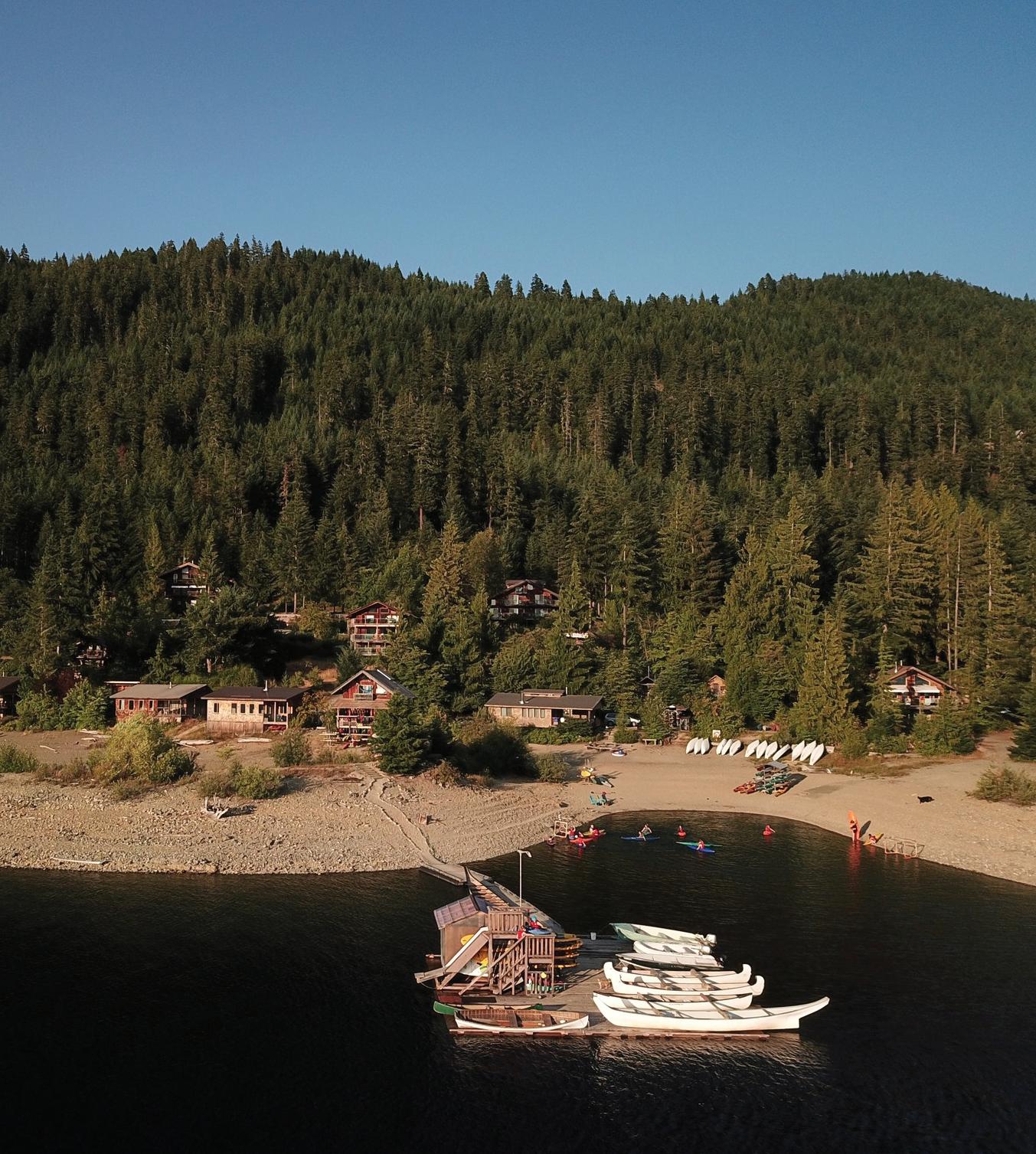
BC MAG • 73
Strathcona Lodge on Upper Campbell Lake.
Myra Falls.
BACKYARD GETAWAYS
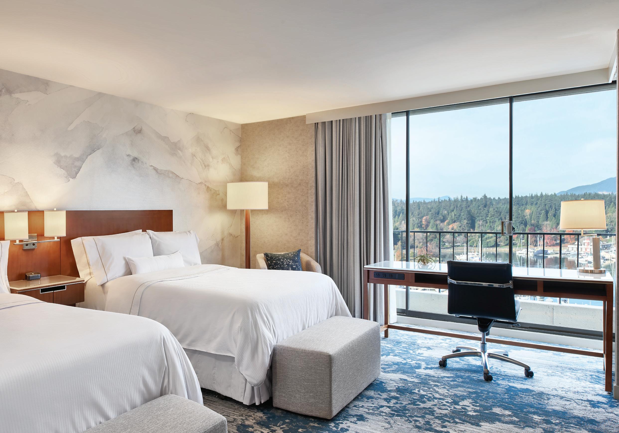
yurts, camping and a full-service marina with fishing as one of the highlights. Today there are no waves, just a chain across the road with no one in sight. My stomach growls in disappointment. Now out comes the camera because the Three Sisters waterfalls are about to appear, where waters originating from Malaspina Peak fall from 1,573 metres into the Sucwoa River. We pronounce it a rave.
RAVES
We’re starting to notice the odd signs festooning the trees as we carry on, informative signs like the one at the Three Sisters that alert us to what we might otherwise miss. There’s the President’s Tree, or what’s left of it now, dedicated in 1970 to the Tahsis Co. president. I love the encouraging words: ‘you’re almost there’ but my favourite sign is where we hit the pavement leading into Tahsis. A handcrafted wooden sign reads: ‘Tahsis. Boozers, Losers, Misfits & Crazies. We’re all here because we’re not all there.’
And now we’re all here too. A grassy verge overlooking the inlet with its gently lapping waves offers a picnic table and two informational signs, while on
the other side, a long conga line of lovingly attended flowering heather draws my attention down from snow clad, 1,621-metre Mount McKelvie, looming above the village. Another rave. This village has plenty of scenery along with its important history. There are more raves to come.
HISTORY
The inlet, which leads north from Nootka Sound, was where Captain Cook anchored in 1778. Tahsis was the winter home of the Nuu-chah-nulth and Chief Maquinna, who called the area Tahsis based on their word tashees, which means passage or gateway. In 1778, just 19 nautical miles south of Tahsis at Friendly Cove, Captain James Cook anchored the Resolution and Discovery to initiate the first contact between Europeans and the local aboriginal people, and claim the area for King George III of England. Fourteen years later, Captain George Vancouver of England and Governor Bodega Y Quadra of Spain met at Tahsis with Maquinna, to settle the international dispute over ownership of the Pacific Coast from Alaska to California.
The present village was founded in
1945 when the first sawmill opened. In the 1940s, the forestry industry started as a floating logging camp and some of these float homes can still be seen by climbing the stairs locally called the “cardiac climb” and following the narrow road around the corner. In 1970, a new mill and deep-sea dock were built and the company town flourished, but in 2001 the mill closed. A large tract of choice waterfront where the mill and its dock used to stand still sits empty and ghosted. What will be its future, I wonder.
TAHSIS MUSEUM AND HERITAGE SOCIETY
The museum, located nearby, is our next stop. Featuring Nootka First Nations culture, the natural history of the area and the development of logging, the mill and the Tahsis community past and present, it was revitalized in 2000. One of the alarming things I have discovered when visiting museums in the past few years is the fact that many of the artefacts on display are things I grew up with. Ergo—the switchboard and the rotary dial telephone are all too familiar and the bunkhouse display, circa 1950, looks just like my old bedroom.
Failing that, however, we enjoyed
74 • BC MAG
CAMPBELL RIVER
Tahsis
Gold River
Friendly Cove
Strathcona Lodge
Upper Campbell Lake
Myra Falls
Lupin Falls
Upana & Resurgence Cave
Conuma River Hatchery
Moutcha Bay Resort
Head Bay Rd
0 15 30
Buttle Lake STRATHCONA PROVINCIAL PARK
Kilometres
BC MAG • 75 Get ready to rise and seize the day at The Westin Bayshore, Vancouver. Boasting modern décor in soothing hues, our refreshed guestrooms mirror the traquility of our breathtaking harbourfront location. Everything — from our hotel’s revitalized dining venues and variety of signature wellness programs, to our 70,000 sq. ft. of flexible meeting space — is designed to innovate and inspire. Our Coal Harbour location provides a restorative base from which to explore Vancouver’s renowned natural and urban attractions. To make a reservation, visit westinbayshore.com or call 1.888.627.8634 Refreshing Views from Revitalized Rooms ©2020 Marriott International, Inc. All Rights Reserved. For full terms and conditions, visit westinbayshore.com New name. Fresh Perspective. It’s here: one program with a world of benefits. Marriott Bonvoy™ is the new Marriott Rewards® , The Ritz-Carlton Rewards® and SPG® . Now you can access an unmatched global portfolio of 6,700 extraordinary hotels and resorts across a portfolio of unique brands, along with exclusive rewards.
BACKYARD GETAWAYS
IF YOU GO
Lodging
En route, Strathcona Lodge, just before entering Strathcona Park, is a fun place to overnight and enjoy a good meal. There are lots of accommodation choices here but book early as it is always busy. Cabins are available year-round, but rooms and meals are only available from April l. Check the website at strathconaparklodge.com.
For accommodation in Tahsis go to villageoftahsis.com/businesscategory/accommodations/
Village Information and Attractions
Visit the friendly folk at the municipal office on South Maquinna Drive for brochures and information. villageoftahsis.com
Westview Marina. In season this is the village hub, offering pub, grub and buzz along with the fishing.
Tree to Sea Drive. The Head Bay logging road from Gold River to Tahsis has many attractions en route. Pick up a brochure if the information centre is open. Otherwise stop and consult the large sign here or download it at villageoftahsis.com/visit-tahsis/ getting-here/tree-to-sea-drivemap/.
Muchalat Inlet, located 13kilometres from Gold River is the base for the MV Uchuck III, which offers one and two day cruises in Nootka Sound to Friendly Cove and Kyuquot. getwest.ca
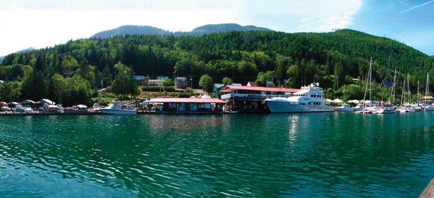
Conuma Hatchery. Public is welcome. pac.dfo-mpo.gc.ca/ sep-pmvs/hatcheries-ecloseries/ conuma-eng.html
sussing out a whale’s skull, a beautifully preserved old First Nations dugout canoe, a cedar bark basket hand woven by Lillian Michael from Nuchatlitz and the cedar mask carving by Ambrose Howard of Gold River, utilizing cedar bark for hair.
A lot of love and care has gone into keeping this venue interesting and organized. I like that it’s eclectic and briefly touches on all areas of interest to most visitors: First Nations history and art, later developments in logging and milling, the accomplishments of locals, the geology, marine and natural history and the portrayal of the lives of ordinary townspeople. Some museums overwhelm with the plethora of objects and information while this one satisfies without overwhelming.
Mayor Martin Davis, who is also one of the museum and Heritage Society’s members, tells us that the current population is about 400 with the number rising to 1,000 in summer when homes fill up with part-time residents. “Sport fishing is a big draw, as well as caving, biking and kayaking, and this area has amazing hiking opportunities including the old FN trade route to Woss Lake, ridgeline hikes and the karst trail loop in Weymer Creek Park. We
also have an old growth hike above town that accesses huge fir trees that are quite rare now.”
Davis, who bought a place in Tahsis in 1999, was a councillor for three years in 2008 before becoming mayor 10 years later when he was spearheading the McKelvie Watershed Alliance, with a mission to save the last significant unlogged sub-watershed from logging. “Logging would have disturbed a known nesting site for endangered marbled murrelets, posed a flash flood risk for the village located directly under the watershed and affected the village’s drinking water.” The alliance was successful, although “We have yet to receive a provincial response or ratification of our local agreements.”
GET OUTSIDE
The sunshine is now beckoning from the museum’s windows. It has warmed up and is a perfect time to breathe in the salt air and the scent of cedar and try one of the many trails that Tahsis offers. Not deterred by the signs warning us to be sensible in an area of cougars and bears, we head off on the two-kilometre Leiner River Estuary Trail, whistling as we walk. It’s an easy and pleasant stroll along the salt
76 • BC MAG
Westview Marina
Westview Marina & Lodge seen from across the inlet.
marshes and river, with lookouts over the estuary and steps down to the flats with views to the village, across the inlet and snowy mountains. We can still handle more wilderness so decide to drive just out of town to the Bull of the Woods Trail with its ‘rave’ views of the inlet. Teetering on the edge of the water, the 1.8-kilometre, round-trip trail undulates through many types of conifers before descending to the water. I like the informational signs. Davis is right. The Tahsis area has awesome trails, from backpacking routes to mountaineering and caving to half hour strolls and everything in between. Likewise, for kayakers, the winding inlet and many islands offer sheltered routes and access to the wilderness areas of Nootka Sound and Esperanza Inlets.

But back to raves. In summer, musical events are not uncommon at Westview Marina, the recreational hub of the village. This is where the worldclass fishing starts, the pub, store and ice cream cones appear, the restaurant sizzles and the music begins. “Salmon Enhancement Fishing Derby Days are
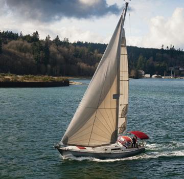

happening on Friday and Saturday on August 25 and 26”, John Falavolito, owner of Westview Marina and Lodge tells me. “There’s live music nightly, special dinners and thousands of dollars in prizes, with the proceeds going to our Salmon Enhancement and Habitat Rehabilitation.” Maybe not quite a rave, but if you’re the one hooking the 70-pound halibut I bet you’ll be raving.














When I ask if there are actually that many fish left to catch, he gives me a resounding YES. “There’s no better fishing anywhere, lots of salmon and halibut. We’re at full limits here.” He points out that both the marina’s hatchery and the federal Conuma River Hatchery at the head of the Tlupana Inlet have ensured that the fish stocks are plentiful. In other words: if you stock it, they will come. Clever. Today, however, we’re just a tad too early in the season to snaffle a coffee at the marina, let alone a meal, and Sally’s Grill is closed, so we make our way to the Ocean View Café in the general store and demolish a pizza. It’s a rave, and a wrap.
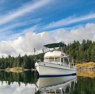
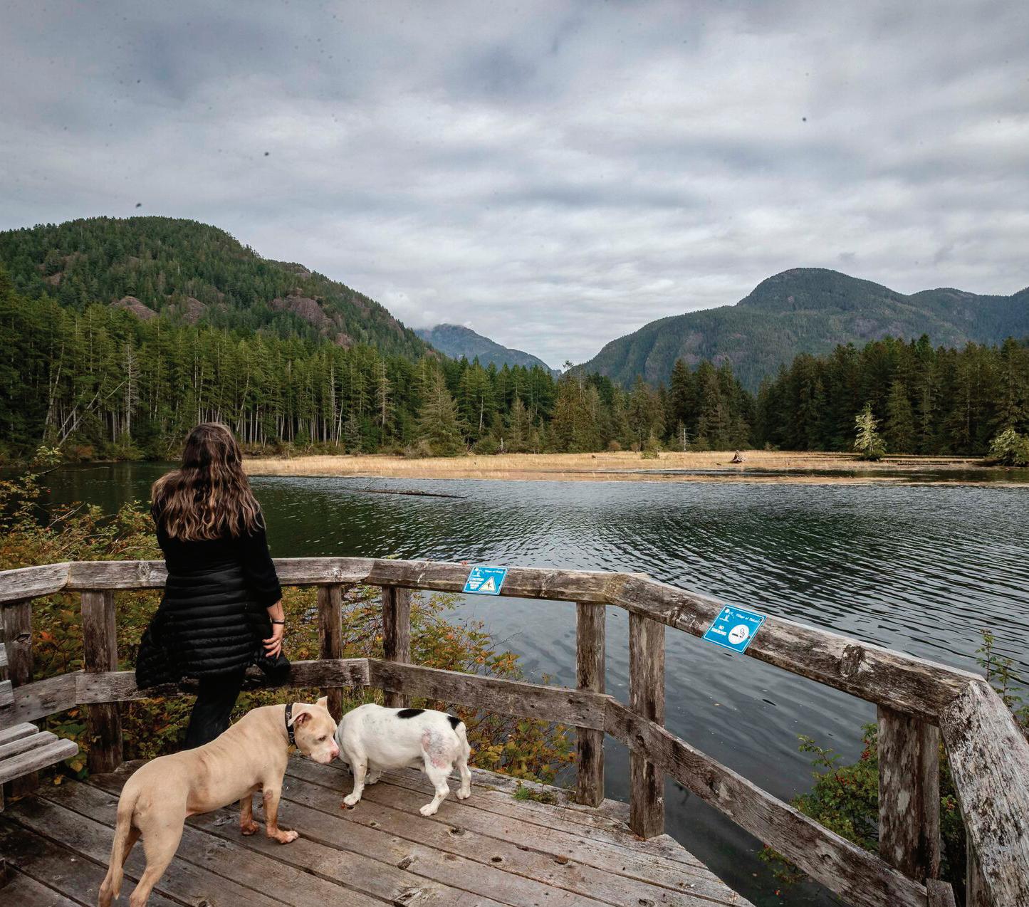
BC MAG • 77
Experience Tahsis/Peter Dick IN BC’S WATERS ZEST REFLOATING THIS WOODEN CLASSIC PY ILLUSTRATOR RETIRES TAbout ime! LIFE IN THE SOUTH PACIFIC DOGS ON BOARD 1,700 KILOMETRES DOWN THE MACKENZIE SAFETY & 9 SINCE 1968 WEST COAST POWER & SAIL LOGS BELOW THE SURFACE WEST COAST POWER & SAIL LYALL HARBOUR SUBSCRIBE & SAVE OCTOBER CAMPBELL RIVER A HAVEN FOR BOATERS WEST COAST POWER & SAIL CLAM, HERRING & SIBELL BAYS FALL DECOMMISSIONING CHECKLIST UNLOCKING THE BALLARD LOCKS NORDHAVN 41 12 ISSUES FOR JUST ORDER ONLINE WWW.PACIFICYACHTING.COM OR CALL 1-800-663-7611 $48 ONE YEAR SUBSCRIPTION FAST SUSCRIBE
Leiner Estuary.
BE SEARCHABLE
How BC’s SAR organizations are harnessing the power of technology to help save lives
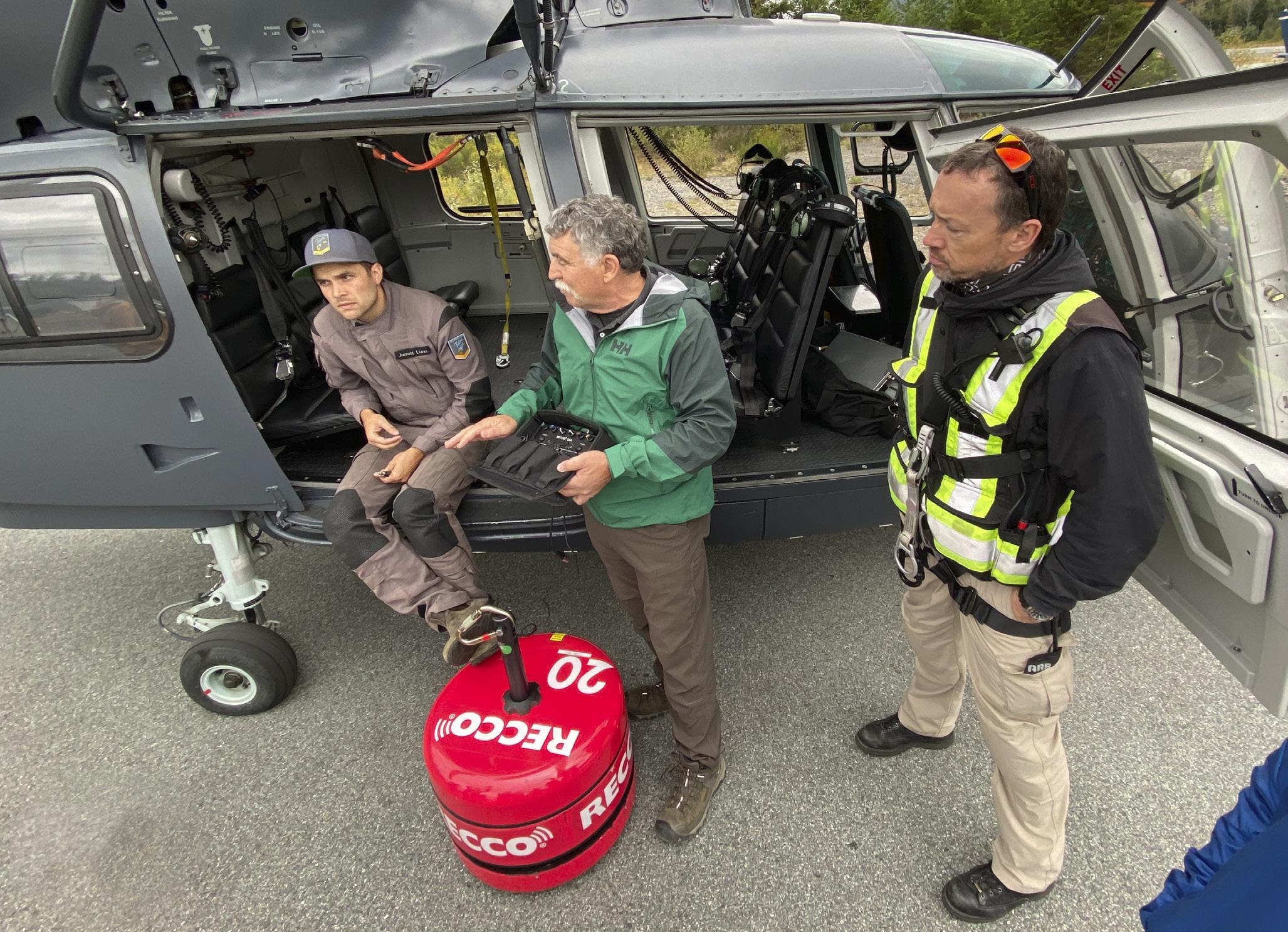 BY LESLIE ANTHONY
With the recent explosion of backcountry travel and increased participation across demographics—including the inexperienced—comes an inevitable flipside: more people getting lost in the wilderness. This has put increased strain on volunteer-run Search and Rescue (SAR) organizations across the country—nowhere more so than in BC, which hosts the nation’s busiest
WSAR groups. The advent of cellphones has obviously helped, but batteries run down and they don’t always have a signal. So, if you imagined a Holy Grail invention that could make life easier for SARs, it might be a simple technology that would make more people more searchable more often. As it turns out, this has long been the mission of a company with which many of us are already familiar: RECCO.
On December 30, 1973, Magnus Granhed witnessed an avalanche in the ski resort of Åre, Sweden. With no one
carrying rescue equipment at the time, it took hours of random searching and digging to uncover two bodies. One turned out to be Granhed’s friend, and he couldn’t help think there had to be a faster way to search for victims. Convinced the answer was in electronics, he began working with engineers at Sweden’s Royal Institute of Technology on the idea of harmonic radar, in which a signal sent from a device at one frequency bounces back at double the frequency from a passive reflector (transponder); the reflector would be on the
OUTDOOR EXPLORER SUMMER 78 • BC MAG
MICHAEL OVERBOOK/HELLYHANSEN
buried person, and the sender-detector held by a searcher. By the early 1980s they had a handheld prototype—the R1. It was a cumbersome 16 kilograms and had a range of only a metre, but things improved quickly from there.
One of the system’s first demonstrations was in 1982 in the Austrian Tyrol, with media, avalanche specialists and SAR folks on hand. Feedback was encouraging enough that RECCO was founded as a company, introducing its first small, clothing-attachable reflectors to the market. In 1984, Trappeur ski boots (later purchased by Rossignol), became the first brand to integrate reflectors into its product; in 1986, French extremist Patrick Vallençant’s Degre7 was the first clothing brand on board, while Swatch added reflectors to its popular outdoor watches with the tagline “fun and safety.” In 1992, working with NATO, the company equipped the Norwegian Armed Forces.
By 2009, the R1 was long gone, with new iterations following the arc of technology to become smaller, easier to carry, more accurate and capable of searching both RECCO reflectors and avalanche transceivers. Today’s detector is barely a kilo with a 20-metre range, and some 2,200 of them reside with 900 ski resorts and rescue organizations in 28 countries worldwide. Intended to compliment avalanche beacons, probes, and rescue dogs, ski patrols also put RECCO reflectors in the nose cones of avalanche bombs so they can more readily find unexploded ordinance, and reflectors are mandatory safety gear for skiers and snowboarders competing in the Freeride World Tour.

In 2022, RECCO transponders— four grams each, no battery, unlimited lifetime—found their way into the products of 150+ outdoor brands, incorporated into helmets, pants, backpacks, climbing gear, jackets and boots. Helly Hansen, a strong RECCO supporter for 15 years with its own commercial reasons for working with SAR teams, has also taken on the more

egalitarian mission of making everyone in the outdoors more searchable, encouraging even rival brands to get on board. Outdoorists can additionally accomplish this with RECCO’s own consumer products—like free-standing reflectors that can be stuck to various pieces of gear. Because detection is aided by the angle of the transponder, the more you have, the more detectable you are. And that matters because the backcountry search game is about to change: it’s no longer just about finding people buried in avalanches, but lost in the wilderness in any season.
Although RECCO’s first live-recovery occurred in 1987 in Lenzerheide, Switzerland, when a missing woman was found by a searcher carrying a RECCO unit inside a helicopter, the company’s first dedicated SAR Helicopter Detector wasn’t introduced until 2015. Designed for use by any SAR group with flight capability, the detector is cable-slung below the chopper and has bluetooth autonomy with a reader in the aircraft. Austria was the first country to be fully covered by the system, with Switzerland, Italy, Sweden and Norway close behind. Thirty units are deployed worldwide, with one in Alberta and three in BC—including Vancouver’s busy North Shore SAR. With the unit suspended 100 metres above a landscape, the heli can run a grid search covering a 100-metre wide swath at 100 kph—about 30 football fields per minute. Thinking dense trees might present a problem, North Shore SAR ran a demonstration in a place notorious for thick trees—Lynn Canyon. The successful shakedown proved useful: in March, 2020, a hiker missing for six days near Lion’s Bay was located in avalanche debris using the heli-mounted RECCO unit. Although this was a body recovery, it proved the potential for locating any lost individual wearing a transponder when conventional means (cell-phone signal, trip-plan details) aren’t available. Basically, an inexpensive way to locate anyone, anywhere, anytime—Granhed’s hope from the beginning.
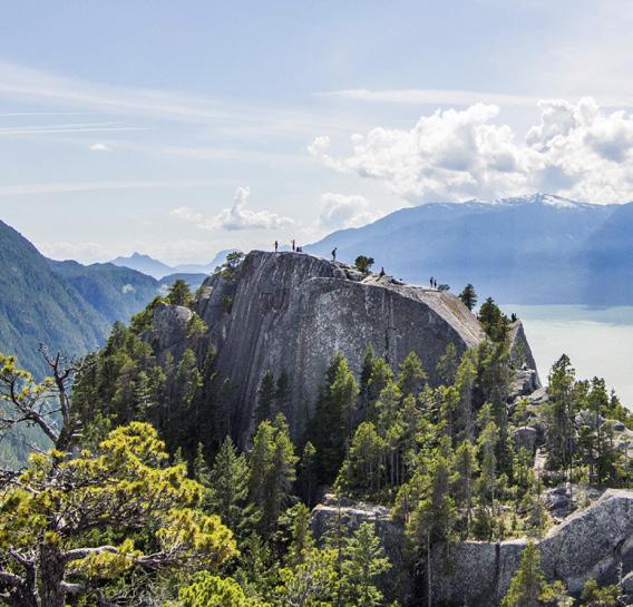
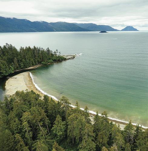
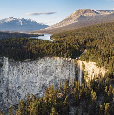
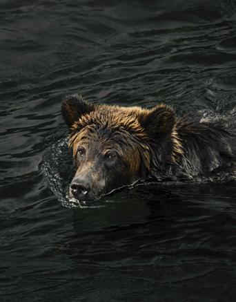
BC MAG • 79
TC TC TC DESTINATION INDIGENOUS TOURISM BCMAG.CA PADDLING Photo Contest DESTINATION Nanaimo HAUNTED VICTORIA BC’s Spookiest City WEST COAST MODERN BC’s Home-Grown Architectural Style PHOTO CONTEST SUMMER/2021 DESTINATION HAIDA GWAII INVASIVE PLANTS BCMAG.CA WILDLIFE RESCUE ROAD TRIP TO THE SOUTH CHILCOTIN SPRING/2022 DESTINATION COQUITLAM BC IN BLOOM FLOWER FARMS & CLIMATE CHANGE BCMAG.CA HOWE SOUND ÁTL’ K A7TSEM ESCAPE TO THE NORTH ADVENTURES IN SKEENA BEAR ATTACK IN CASTLE PASS UNESCO'S NEWEST BIOSPHERE REGION Order Now Online WWW.BCMAG.CA or call 1-800-663-7611 FREE CALENDAR WITH ANNUAL SUBSCRIPTION SUBSCRIBE & SAVE 4 ISSUES FOR JUST $25.95 ONE YEAR SUBSCRIPTION
Roof Top Patio opening Spring 2021
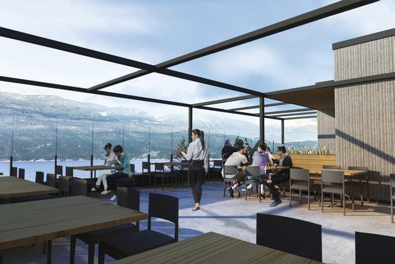
Ktunaxa Grill open Wednesday – Sunday Dinner reservations are required
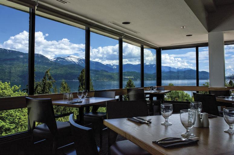
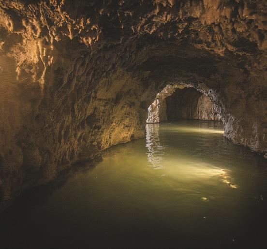
Contemporary rooms and suites
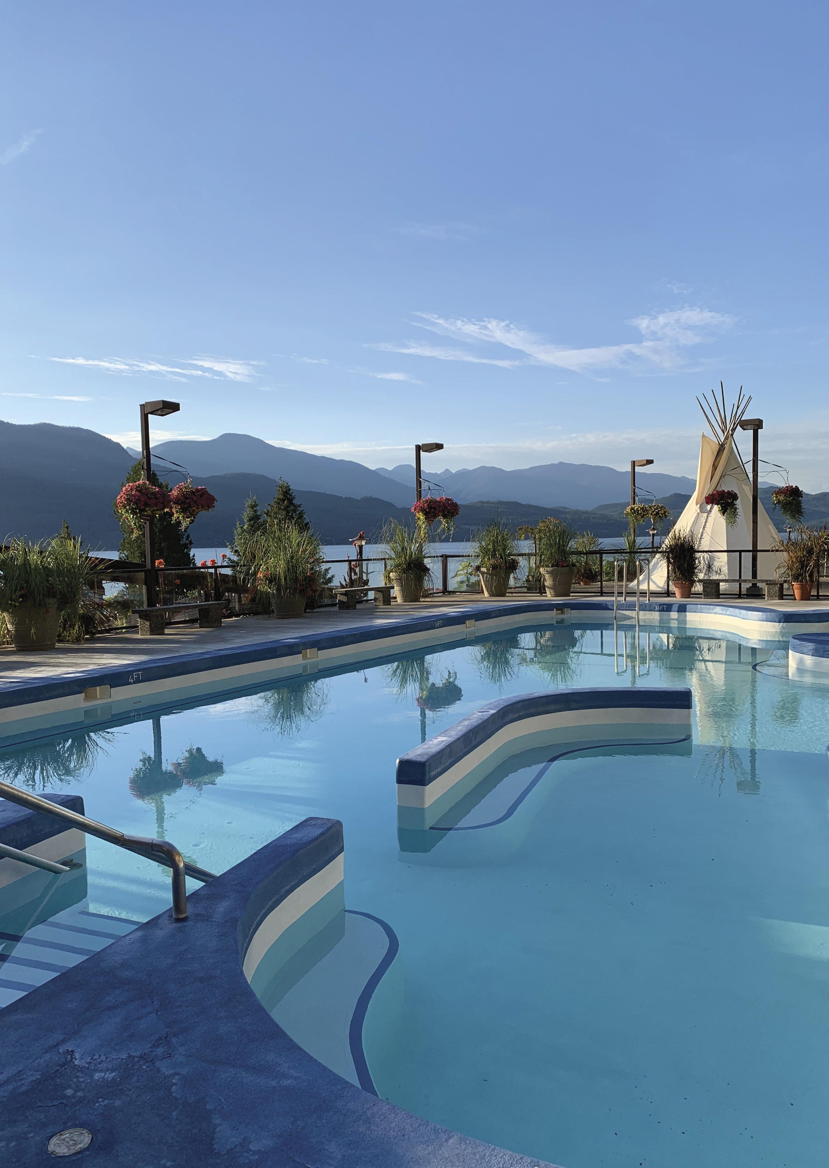
80 • BCM FOR Bulletin Board ADVERTISING contact: Meena Mann • 604-559-9052 • meena@bcmag.ca Bulletin Board
Wednesday – Sunday. Visit www.ainsworthhotsprings.com for updates on public access to the Hot Springs pools and cave plus Covid 19 updates.
Resort is open
park is the way it makes you feel while sojourning through the trails. Walkers, joggers and cyclists follow the shore on the beach side, while flora and fauna flank along the west side of the walk. Aromas of sweet pea and wild rose permeate your senses from late spring through to early fall. Golden spires of yarrow line the paths to give a truly therapeutic aromatherapy experience with each breath. A deep connection to nature just happens here, the trail doesn’t recognize what kind of day you have had. Cool, salty sea air invigorates and recharges you with negative ions swirling on the ebb and flow of the bay
For many, including myself, this is church, this is spiritual rejuvenation, the place to connect to source and unwind. Other trails in the park meander inland through a meadow with outcroppings of grasses, where clever wooden bridges span the marshy sections. Exploring this path, you are gently greeted by bullrushes and yellow iris blooming in early summer. Here it gets even quieter, with cedar criss-cross fences and sweeping fields of tall grasses that bend and flow with the warm breezes like ocean waves. Tall ash trees whisper and sway while they chant
Reflections and blissful moments are immeasurable as no two days are alike. Enjoying this beautiful BC heaven on earth is a spiritual gift to self, each hike is a reserved front seat in nature’s ca-
SEND US YOUR STORIES!

Have a funny or interesting BC story? Tales of BC is a reader-submitted column and we are always looking for another good yarn. Send your 600-word story to editor@bcmag.ca and it might be featured in the next issue!

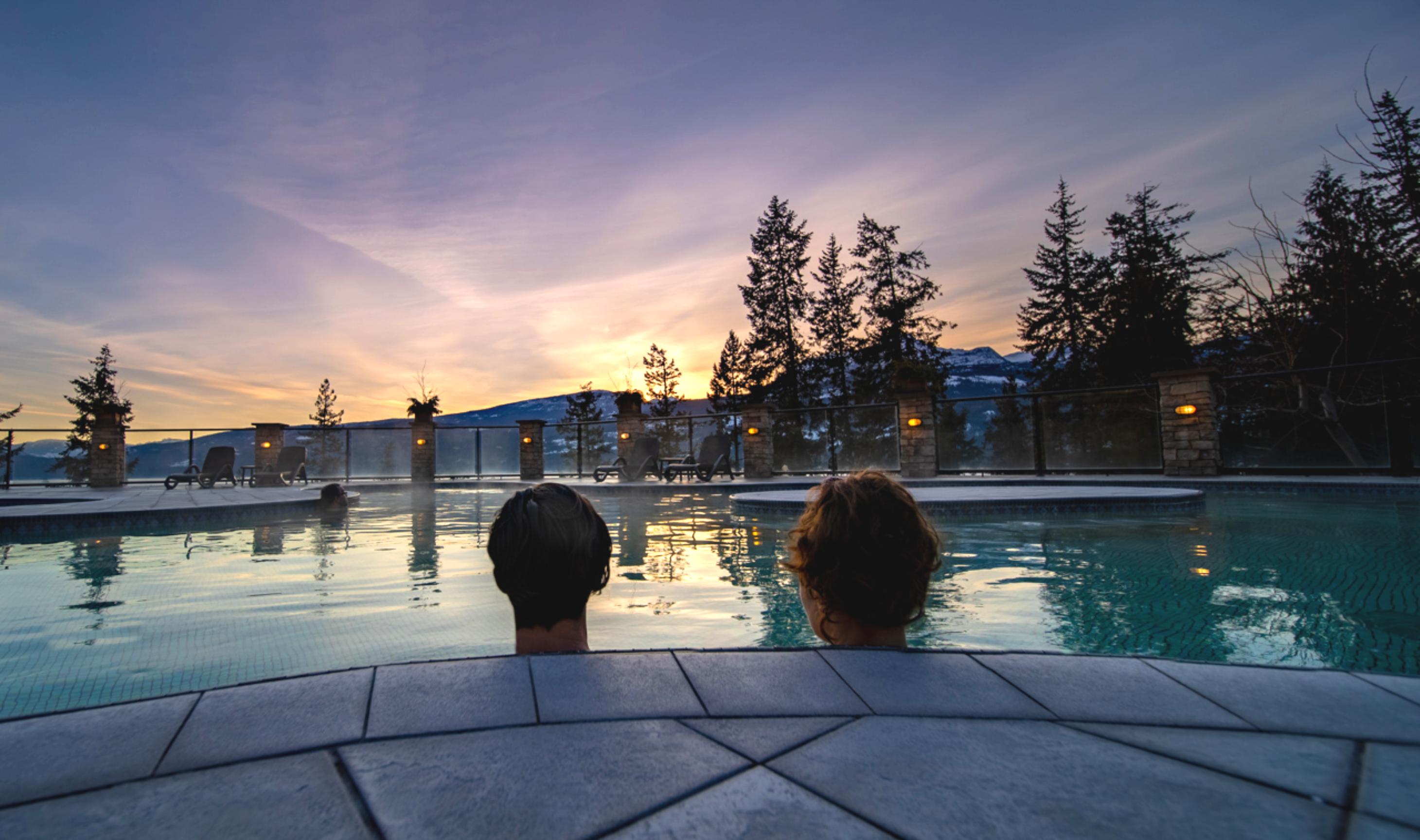
BC MAG • 81
TALES OF BC
FINDING BLISS IN BOUNDARY BAY
 BY ELISABETH BOS
Entering the beach trail, I couldn’t help but overhear a fellow trail user describing the scene before him: “I have just found the most beautiful place on earth,” he enthusiastically reported to a pal, on his cell phone. This may sound like an exaggeration, but I hear reactions like this daily as I walk the beach trails along Boundary Bay in Tsawwassen BC.
A spectacular panoramic view of a
Elarge portion of the Lower Mainland is visible during the entire four-kilometre-plus walk, which includes the majestic North Shore mountains. In the distance, skyscrapers cemented in the Burnaby business district are highlighted by the sun, a stark contrast to the deep blue of mountains silhouetted behind them. Mount Baker is on my shoulder for the entire hike, and it’s incredibly grounding to view this inactive volcano in its entirety, from base to peak. My expansive experience cannot get any better unless a perfectly timed eagle soars between myself and the mountain.
This is also home to a bird sanctuary, where birds from all over the globe come to feed in the tide waters along the mud flats. The protected sanctuary
has various feathered visitors throughout the seasons. The birds are safe and free to forage and multiply, they find bliss here too. As I walk further along the trail there are countless opportunities to capture that perfect pic of shore birds, eagles, hawks and heron as they feed and rest in their aviary la la land. Bird houses are perched in ideal locations for all of the daily trail blazers to enjoy the busy, busy chirping of their inhabitants. The heron perch lazily on treetops and worn-out tree hollows while eagles can usually be seen in pairs on the sand bars at low tide, waiting patiently for a meal to cross their path. What keeps me and other trail enthusiasts coming back to this heavenly
Continued on Page 81
82 • BC MAG TALES OF BC SUMMER
MULTI-FAMILY DEVELOPMENT SITE WITH MARINA - SICAMOUS, BC
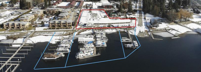
High Density Lakefront Dev. site. Upland parcel 2.55 acres zoned for multi-unit structure. Original plans & permits were taken out for 67 condo units each with marina slip. Remaining from this unbuilt venture is a 62,000 ft2. concrete parking garage with 162 stalls. Foreshore area / marina is on a busy and popular boating route accessing the Shuswap Lake system. $3,999,000
RICHARD OSBORNE
Personal Real Estate Corporation


604-328-0848 rich@landquest.com

472 acre guest ranch generates great income and offers a 4770 ft2 main house to live in, 7 rental cabins, 7-stall stable, and many outbuildings for the ranch operation. Accommodations are booked solid from May to Oct. 300 acres of timber, 170 acres of pasture, and the property can support about 50 cow - calf pairs. 29 kms from Clearwater in Wells Gray Park. $2,999,000
10 ACRE OCEAN VIEW WILDERNESS PROPERTY - GALIANO ISLAND
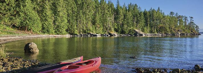
Quiet and private view acreage at the south end of Galiano with two off-grid cabins and spectacular ocean and mountain views. Seasonal creek, large mature timber, and several meadows. Drilled well and driveway in place. Priced to Sell at $595,000
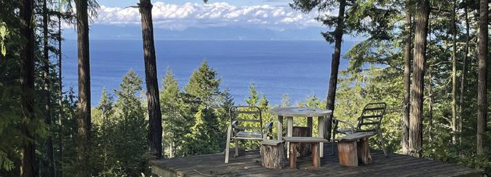
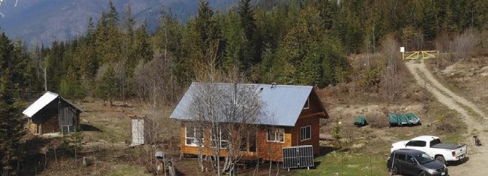
DAVE SIMONE 250-539-8733 DS @landquest.com
OFF-GRID RETREAT AND RECREATIONAL OASIS - NELSON ISLAND
The Quarrybbean is a gem on a 2.5 acre lot in a rare bare land strata. There are 250 acres of common land that include 2 lakes and miles of trails. 2 solar powered buildings with 5 bedrooms, 4 bathrooms, decks galore and stunning views. Includes a hillside elevator, large wharf patio and deep-sea moorage. $2,198,000
NORTH END FARM - A 164 ACRE OCEANFRONT FARM ON MAGICAL SALT SPRING ISLAND
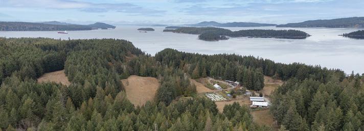
North End Farm, 164 acres of bucolic charm and Pacific Northwest beauty. A productive farm serving the island as a popular produce market, long been known for its fertility and productivity. With a km of shallow grade ocean frontage, ancient forests, 3 homes and farming infrastructure. $11,500,000 the peaceful tranquility of the lake. $2,250,000
EXECUTIVE LAKEFRONT HOME AND ACREAGE - PUNTZI LAKE
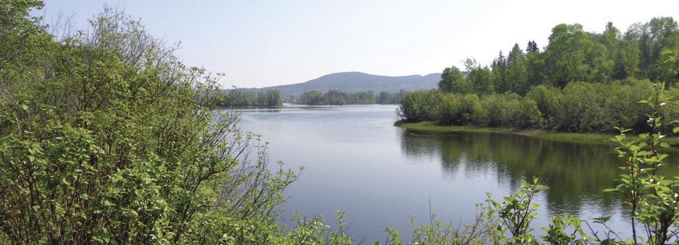
Stunning, custom built, timber frame, 2 storey home on Puntzi Lake just 2 hours west of Williams Lake. 6.2 acres complete with a heated carport, 350 ft of waterfront, income potential and has easy access by floatplane right to the front yard, or by the 6,000 ft paved airstrip just 10 minutes away. $1,400,000
SHERIDAN
LAKE RESORT LONE BUTTE, BC
Trophy Lakefront Resort! Maybe the most famous resort in the Cariboo with trout to 15 lbs. Resort has attracted travelers for decades. 19 cabins most with bathrooms and kitchens. 84 serviced RV sites, 36-slip marina with breakwater and more. Tons of recent upgrades and reno’s. $3,795,000
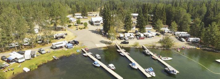
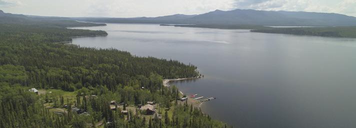
BASECAMP DESOLATION SOUND
STRATA LOT 16 OCEAN VIEW
3.5 acre ocean view lot located at the gateway to Desolation Sound, minutes to Lund on Sunshine Coast. Road accessible with power available. No building permit process required. Limited availability with only 2 lots being released in this second phase. $529,000
LAKE
Pristine south-facing waterfront home on Lake Cowichan with gentle sloping beach frontage. Nicely appointed 2100 ft2 home with large windows offering views from every room. A 10 x 20 ft landing followed by a 54 ft aluminum ramp leading to a new 10 x 24 ft private dock. Sit around the fire pit on the beach & enjoy the peaceful tranquility of the lake. $1,950,000
An amazingly cute and cozy cabin perched up above Kootenay Lake. Well set up with gravity fed water, solar power, portable generator, wood heat and cook stove, on demand hot water (propane), established veggie garden, root cellar, woodshed, and much more. Take one step inside the cabin and you will immediately notice the quality craftsmanship. $299,000
NECHAKO LODGE - FISHIN’ HUNTIN’ AND LOVIN’ EVERY DAY - KNEWSTUBB LAKE
The Lodge has 6 guest rooms, a commercial kitchen and a large gathering area. There is also a two-bedroom residence, 4 cabins and 6 RV sites. Solar and wind power the property. Includes a foreshore lease with docks, breakwater and boat launch. $795,000
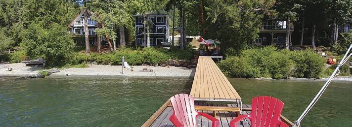
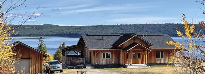
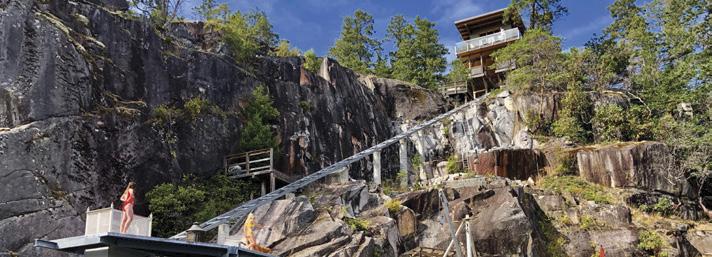
® Marketing British Columbia to the World® www.landquest.com Toll Free 1-866-558-LAND (5263) Phone 604-664-7630 Visit Us Located just minutes from town center the nicely treed lots are located just as Stuart Lake becomes Stuart River. Build three residences or just keep a couple lots for an investment. Hydro, gas and Internet are available all along paved Sweder Road. Outdoor Life at its finest. $295,000 MATT CAMERON 250-200-1199 matt @landquest.com KURT NIELSEN 250-898-7200 kurt @landquest.com JOHN ARMSTRONG Personal Real Estate Corporation 250-307-2100 john @landquest.com KEVIN KITTMER 250-951-8631 kevin @landquest.com Sam Hodson Personal Real Estate Corporation 604-809-2616 sam @landaquest.com FAWN GUNDERSON Personal Real Estate Corporation 250-982-2314 fawn @landquest.com ROB GREENE 604-830-2020 rob @landquest.com JAMIE ZROBACK 1-604-483-1605 JASON ZROBACK 1-604-414-5577 BC LANDPRO GROUP JASON ZROBACK 1-604-414-5577 JAMIE ZROBACK 1-604-483-1605 BC LANDPRO GROUP CHASE WESTERSUND - WESTERN LAND GROUP Personal Real Estate
Corporation 778-927-6634 chase @landquest.com
5.4 ACRES IN 3 TITLES LEVEL FORT ST. JAMES RIVERFRONT
OFF-GRID CABIN ON 10 ACRES GRAY CREEK, BC
COWICHAN WATERFRONT YOUBOU, BC
NAKISKA RANCH - WELLS GRAY PARK, CLEARWATER




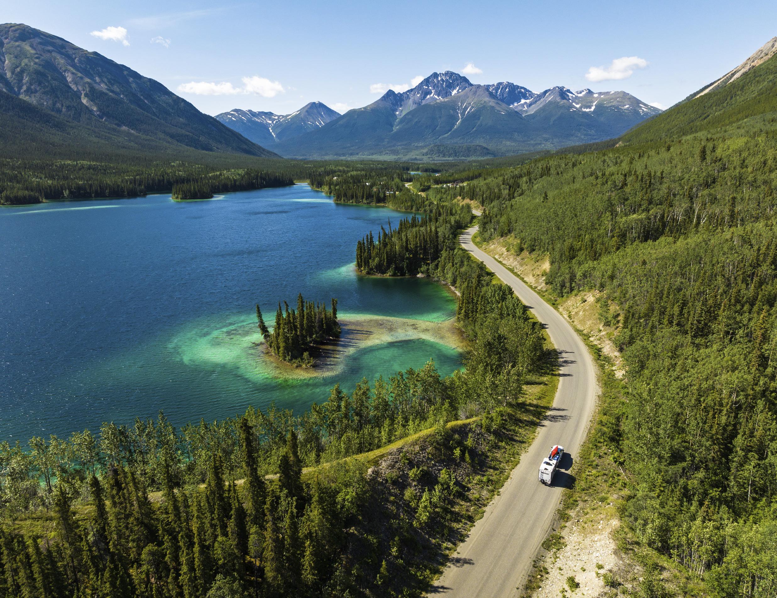
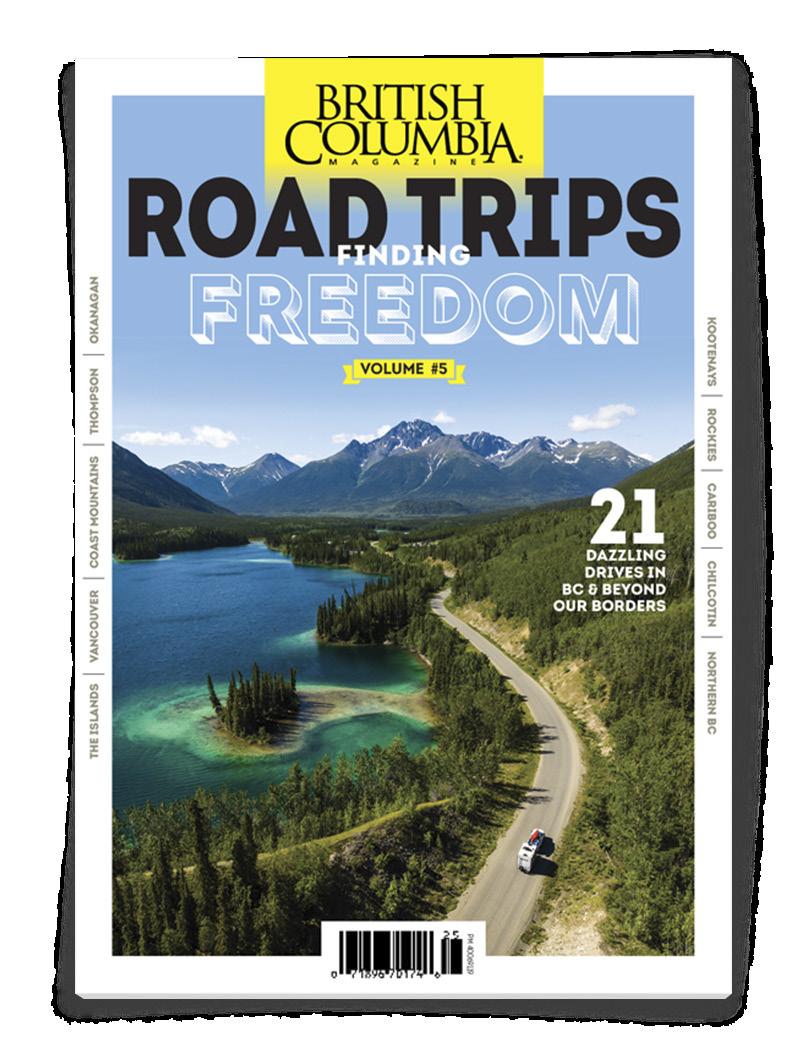
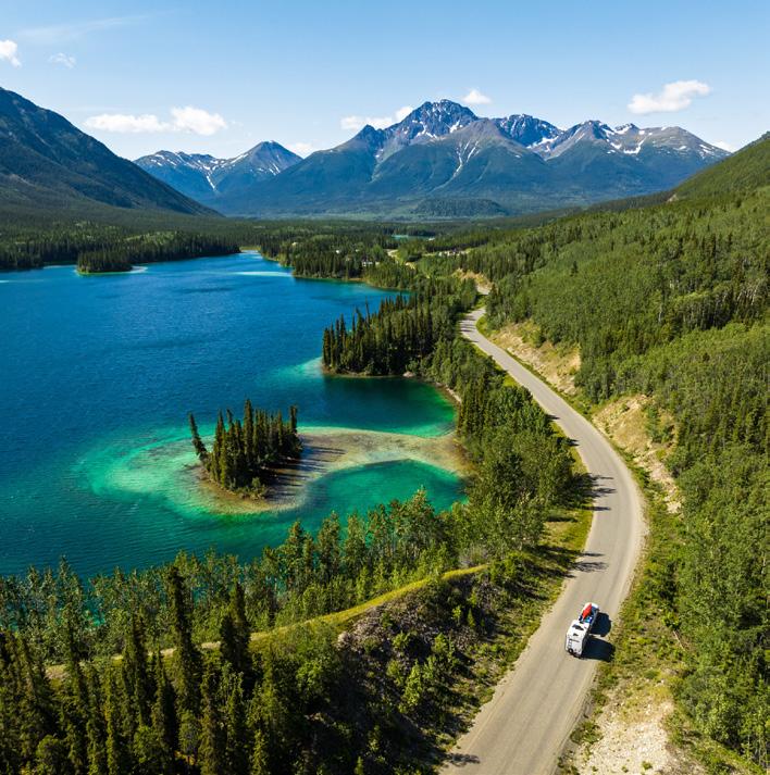
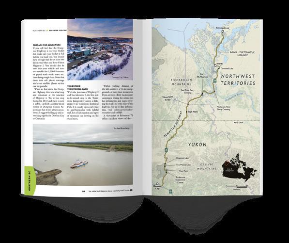
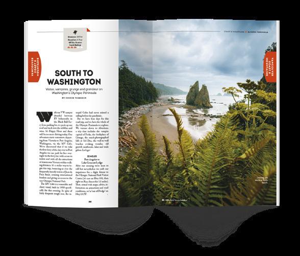
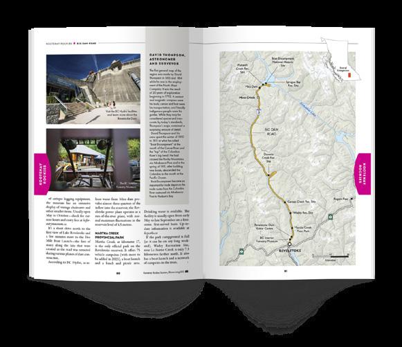
ALSO AVAILABLE AT: VOLUME 5 - FEATURING: Winery & Cidery Tours / Craft Breweries / BC Pit Stops / Iconic Destinations Hidden Gems / Cross-Border Trips / Detailed Maps & Drive Times / and lots more! 1 ROAD TRIPS PM 40069119 Escapes CARIBOO CHILCOTIN VANCOUVER COAST & MOUNTAINS THE ISLANDS NORTHERN BC KOOTENAY ROCKIES THOMPSON OKANAGAN A SPECIAL ISSUE OF BRITISH COLUMBIAMAGAZINE $12.95 DISPLAY UNTIL DEC 31 2023 Volume #5 Great DISCOVER OVER 5,500 KMs OF: EPIC BACKROADS SCENIC HIGHWAYS OUTDOOR ADVENTURE ORDER ONLINE BUY ONLINE WWW.BCMAG.CA/ROADGUIDE | 1.800.663.7611 Escapes Great ONLY $1295 FREE PREVIEW 2023 EDITION
