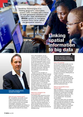
GeoAfrika Technologies is a leading geographic information system (GIS) company with a focus on both geospatial solutions and application (app) development. IMIESA speaks to managing director Chris Car ter about the geospatial industr y.
Linking spatial information to big data
Chris Carter, managing director, GeoAfrika Technologies
What sets your company apart? CC As GeoAfrika, we provide a broad range of professional services and products within the built environment arena, using the world’s best available technologies. Geography, science, engineering and property law combine to deliver a unique value proposition and a single point of contact for our clients.
6
IMIESA June 2020
From a GIS standpoint, we are creators, recorders and providers of information, as well as users and consumers of this information. In turn, as specialist geospatial experts, we’ve led for over 40 years, and have always been progressive when it comes to technology. For example, we’ve been capturing, measuring, modelling and recording information in the twoand three-dimensional (3D) space from inception. Overall, our core strength is in providing appropriate solutions tailored to the needs of the client. These could be systems-driven requirements and/ or a requirement for high data quality and accuracy. Essentially, we create simplicity within complexity and that invariably requires us to develop bespoke solutions. It’s an area in which we have considerable expertise. This also allows us to deliver appropriate detail at different levels, depending on the audience. What hasn’t changed in the survey profession? The baseline skills required to survey to prescribed millimetre, centimetre or decimetre accuracies, depending on the project requirements, remain the same. However, the tools of the trade have improved significantly – a prime example being in the field of drone mapping, as well as the use of laser scanners for internal and external building surveys.
Bespoke apps follow a systems approach, evolving in complexity as clients request additional functionality
How is GIS evolving? GIS has evolved exponentially over the past decade, providing even greater precision and certainty when it comes to data analysis. In our field, we define the value of GIS data according to the three Cs, namely: Completeness, Coordinate Accuracy and Currency. Keeping data up to date is essential. Major advances in information technology (IT) and computing power enable us to model and manipulate big data at unprecedented speeds. Cloud platforms, in turn, allow us to secure, update and share data with our client and their professional team. What are key benefits of your bespoke apps? Apps are designed to focus on a specific aspect of a business. A simple example would be the monitoring of streetlight functioning within a town or city. They are relatively quick to develop and can be updated 24/7. The benefits are immediate. Within the public sector, for example, ‘eyes on the ground’ provide near-realtime reporting and verification of critical information required for municipal asset registers. Traditionally, municipal asset registers need to be updated annually. Using our apps, they can