Moore Road Multimodal Trail & Linear Park Concept Study
This project was prepared for and financed by:

ii
Road
Study
Moore
Multimodal Trail & Linear Park Concept

iii Moore Road Multimodal Trail & Linear Park Concept Study


iv Moore Road Multimodal Trail & Linear Park Concept Study
This project was prepared by SC# 21064.10

TABLE OF CONTENTS Introduction - 2 Inventory & Analysis - 9 Trail / Linear Park Alignment - 15 Connection to Schuylkill River Trail West (SRTW) - 41 Implementation - 53 Appendix - 63 1 2 3 4 5 6 2 - Background 2 - Moore Park 4 - Planning Context of Moore Road Multimodal Trail / Linear Park 5 - Relevant Land Use, Planning, Zoning and Transportation Initiatives & Studies 6 - Upper Merion Draft Comprehensive Plan 2019 10 - Property Owner Input 10 - Site Reconnaissance 11 - Existing Conditions 13 - Transit Connections 16 - Trail Design Fundamentals 18 - Trail Design and Engineering Considerations 22 - Safety 22 - Intersection Improvements 24 - Trail Plans, Sections & Renderings 42 - Regional Trail Connections 44 - Review of Montgomery County Circuit Priorities 44 - Alternate Routes with Cost Estimates 54 - Preliminary Cost Estimates 54 - Potential Funding Sources 60 - Recommended Stakeholder Roles and Responsibilities 61 - Project Phasing v Moore Road Multimodal Trail & Linear Park Concept Study


INTRODUCTION
1
Chapter 1: Introduction Background


Established in 2010 by ordinance by Upper Merion Township, the King of Prussia District serves as a catalyst for economic development as a private, not-for-profit business improvement district. District programs and services focus on maintaining King of Prussia as a vibrant and attractive area through work on physical improvements, land use & zoning recommendations, tax policy affecting business owners and residents, marketing & communications, and vital transportation needs. The organization has proved itself a true community partner through philanthropic endeavors that benefit organizations such as the Upper Merion Community Cupboard, Upper Merion School District, Children’s Hospital of Philadelphia and the Valley Forge Park Alliance.
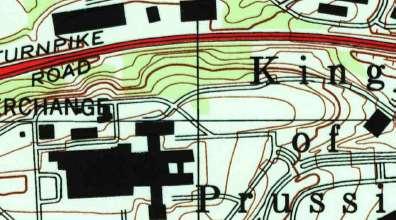
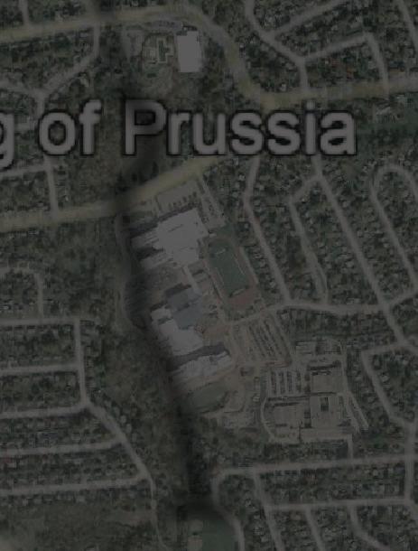
The King of Prussia District boundary now encompasses Moore Park, the King of Prussia Mall and the new Village at Valley Forge to the north of SR 202 and has recently been expanded to include Renaissance Park to the south of SR 202.


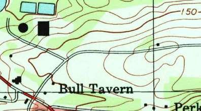
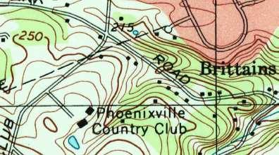
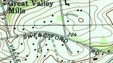
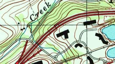
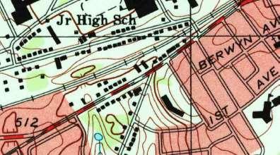
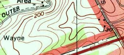
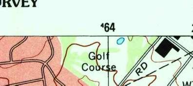
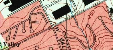
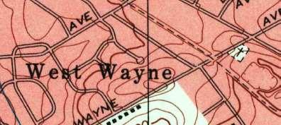
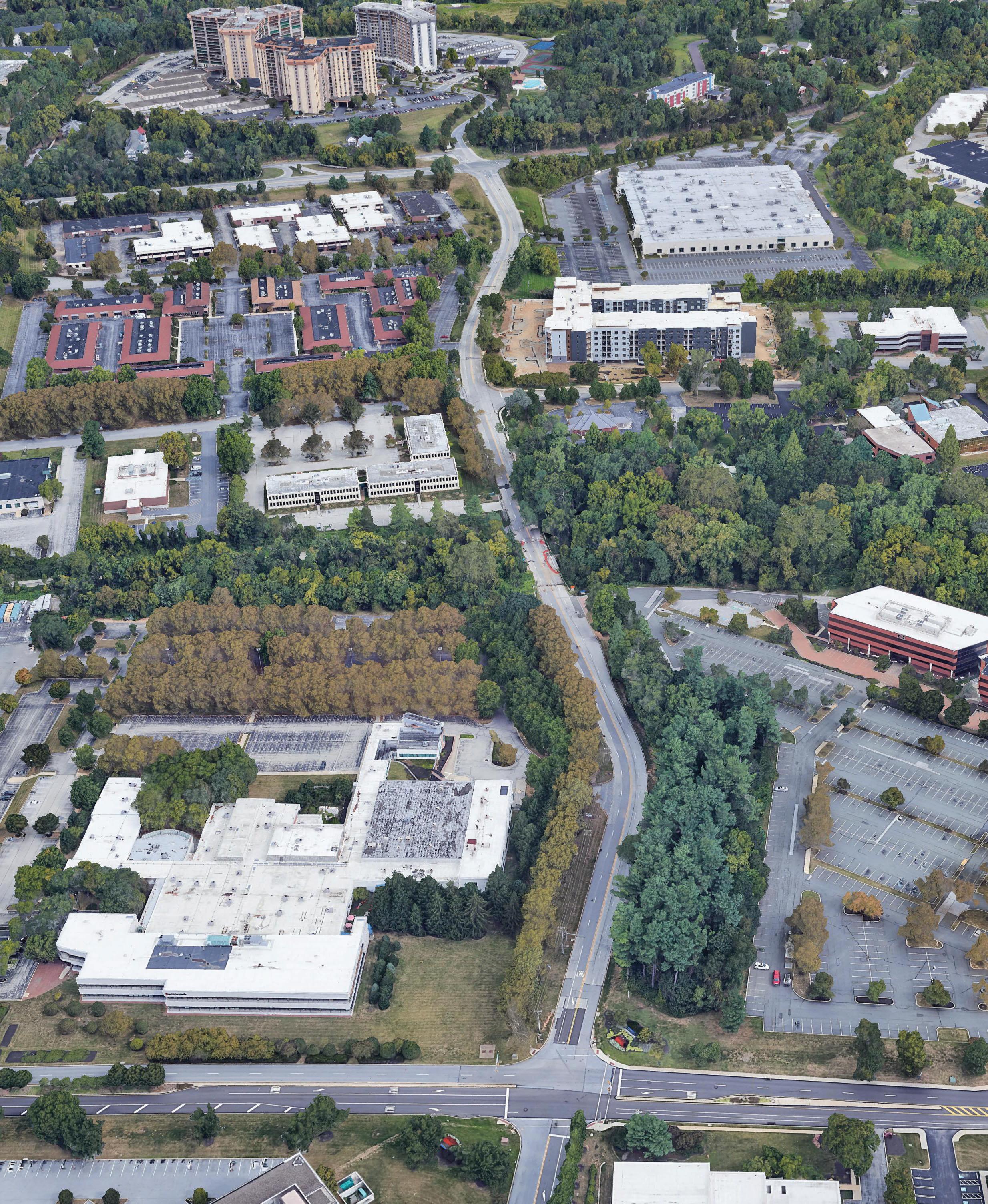
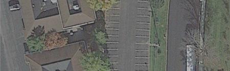
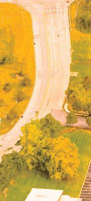
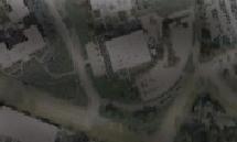
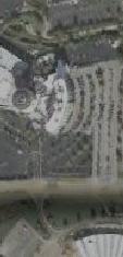
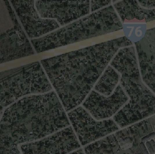
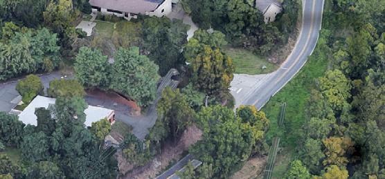
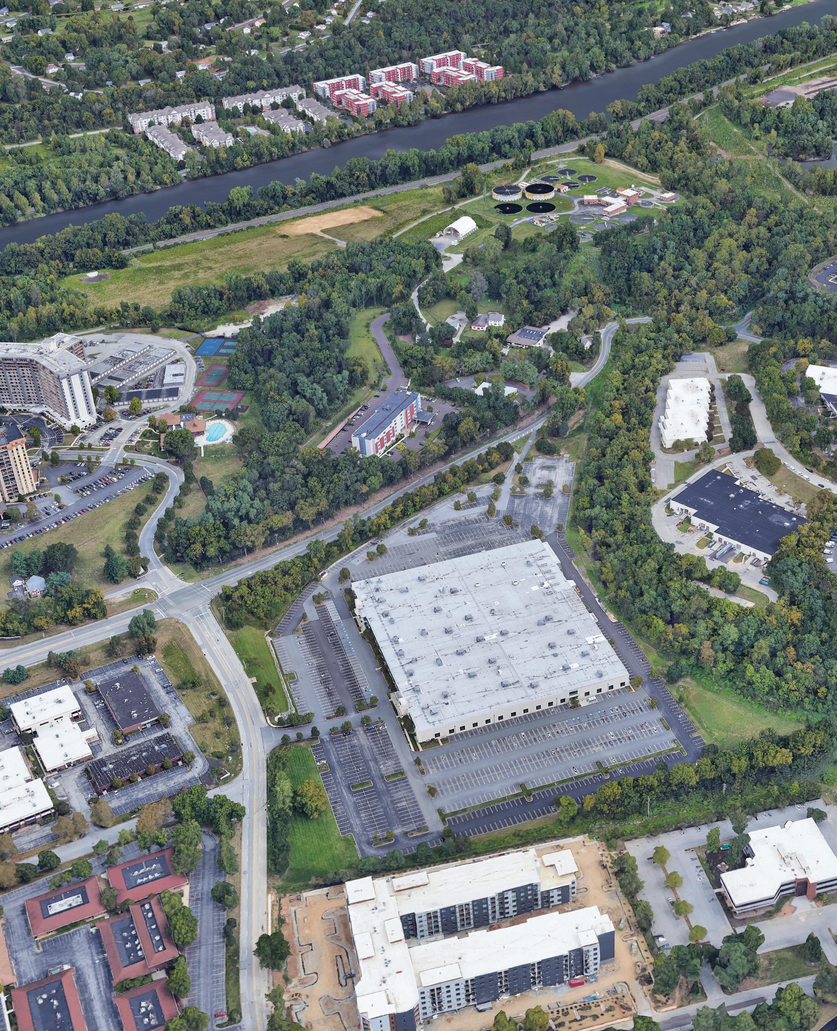
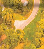
Moore Park
Moore Park was formerly known as the King of Prussia Business Park located in the heart of King of Prussia at the intersection of the region’s most vital transportation routes: I76, I276, SR 0023, and SR 0422. Established in the 1970’s, the King of Prussia Business Park location was a logical and convenient extension of the transportation system that was designed and constructed to serve the burgeoning motor vehicle commuting suburbs. As its name indicated, serving businesses during work hours was the focus of its planning and layout. As Upper Merion Township responded to the demographic and economic shifts of the past twenty years, The King of Prussia District and Township embarked
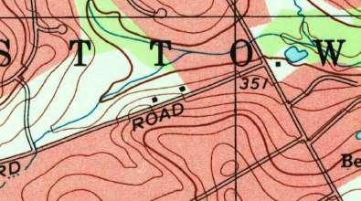
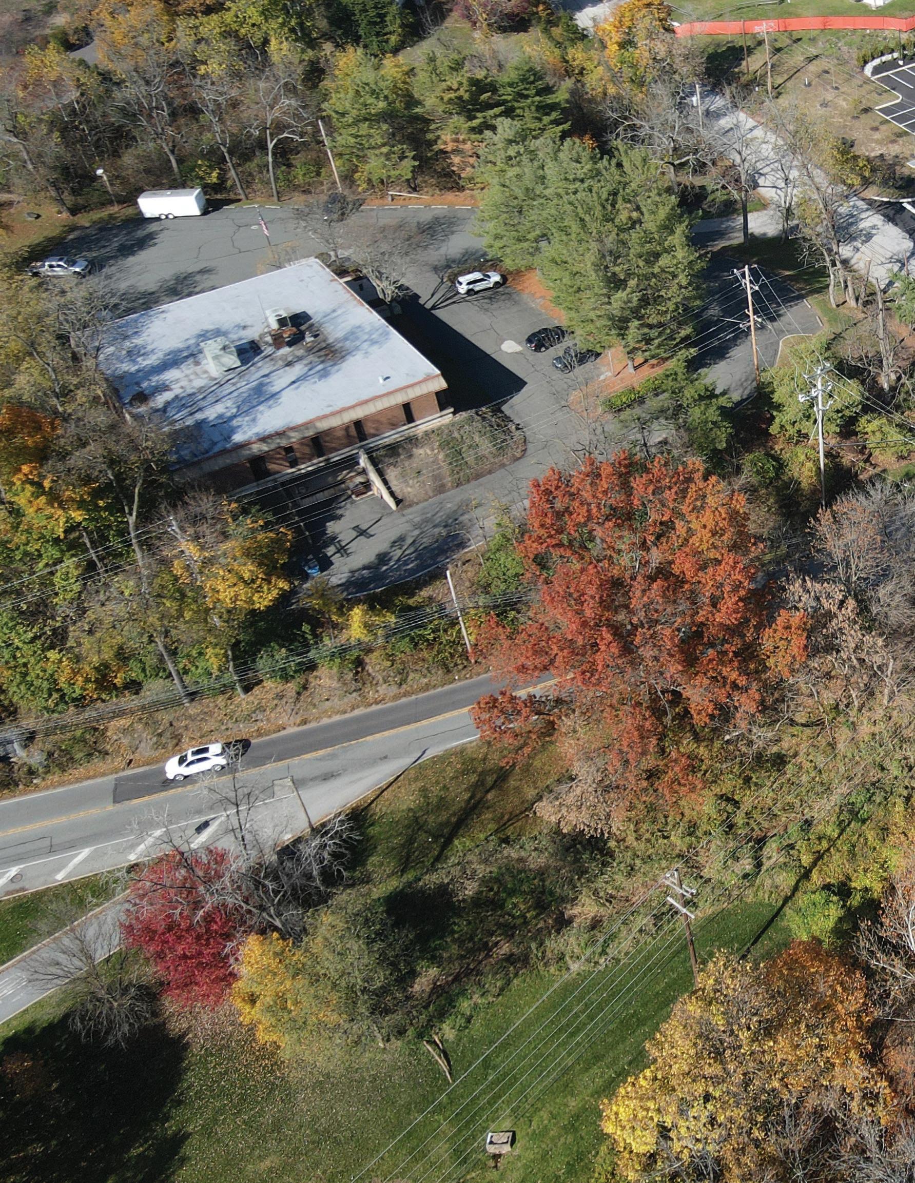
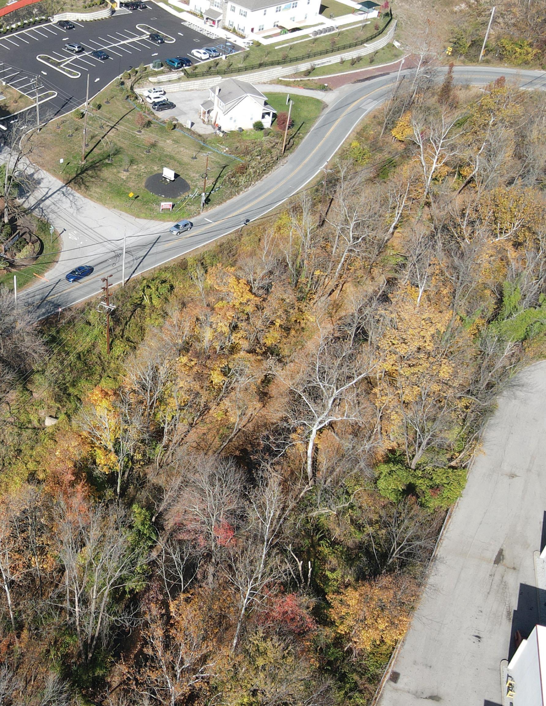
2 Moore Road
Trail
Linear
Multimodal
&
Park Concept Study
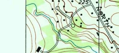
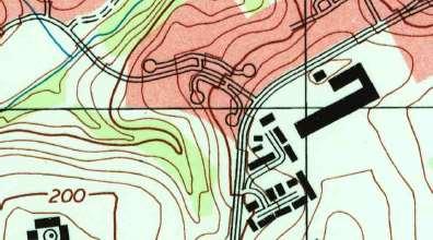
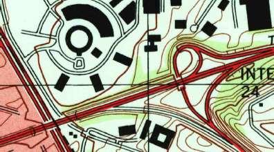
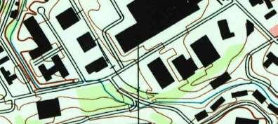
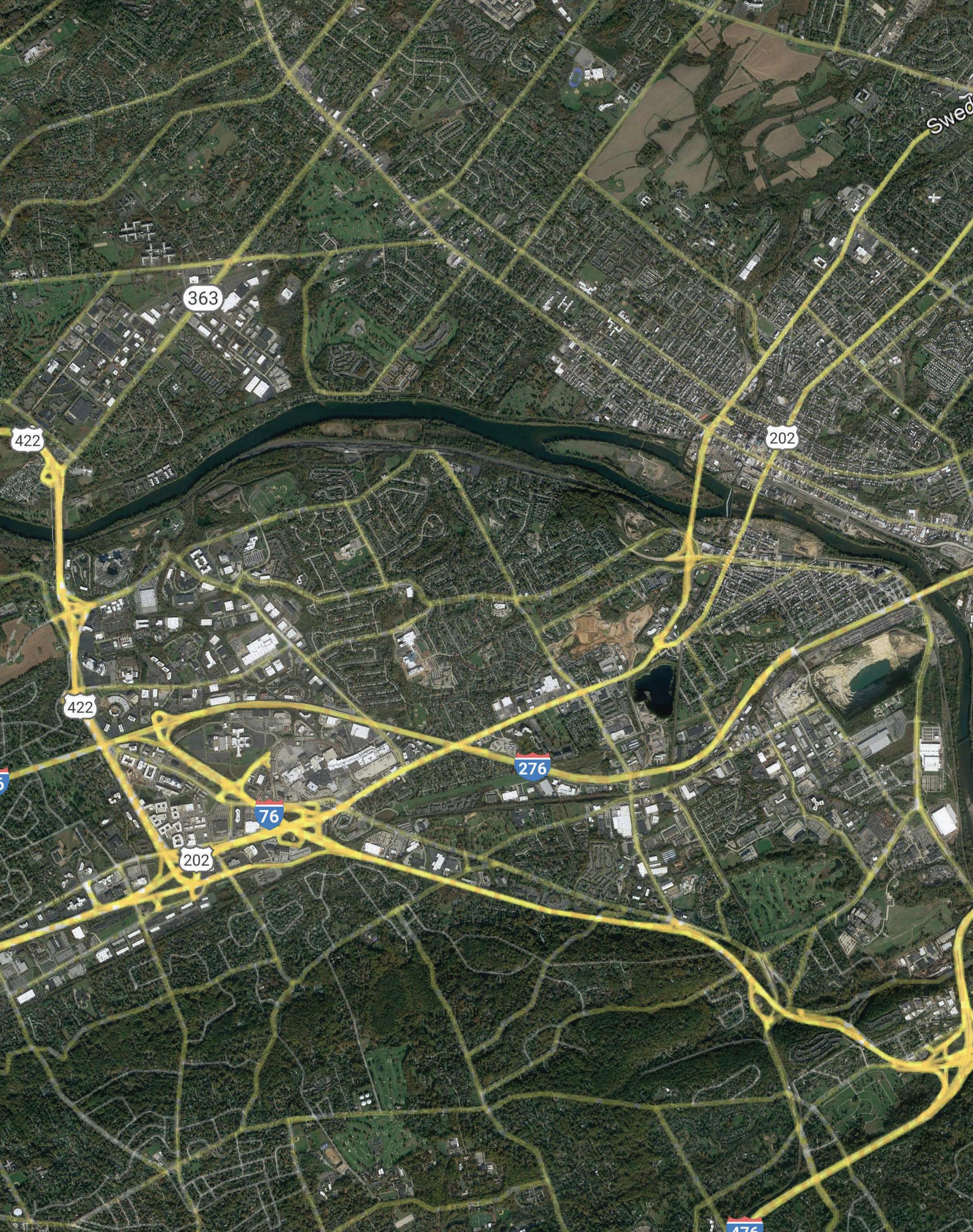
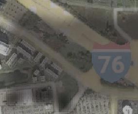
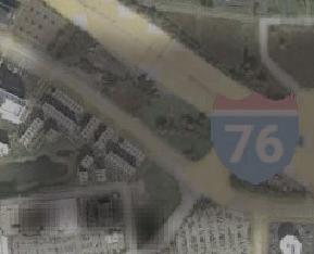
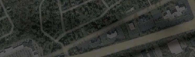
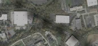
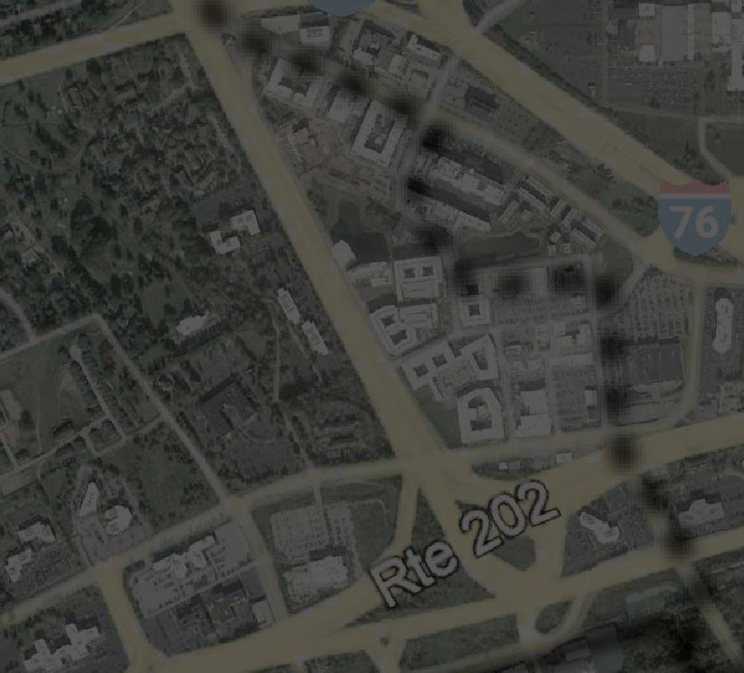
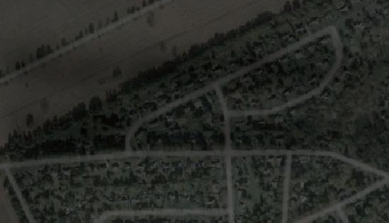
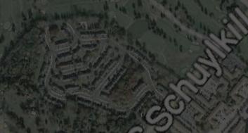
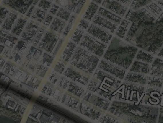
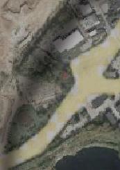
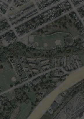
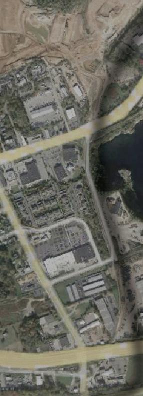
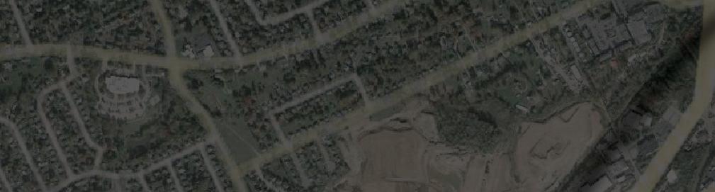
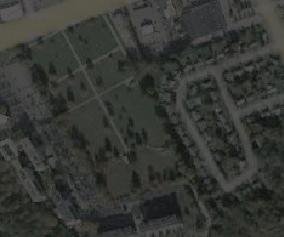
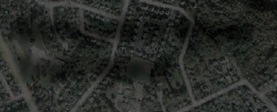
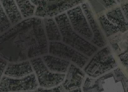
Moore Park Context
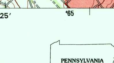
Pennsylvania
Montgomery County
Lower Merion Township


 The Village at The Village at he Vill e at Valley Forge
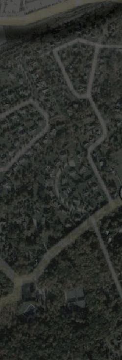
Moore Park
Renaissance Park
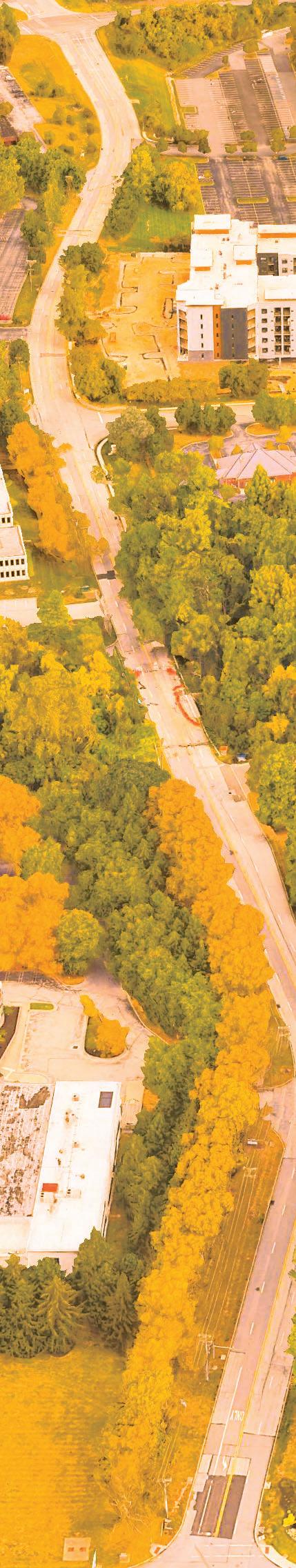
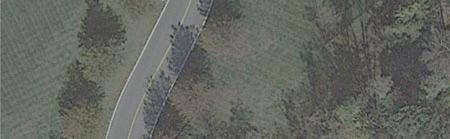
Moore Road Trail/ Linear Park Alignment
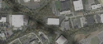
The Village at The Village at he Vill e at Valley Forge
Moore Park
Renaissance Park
Moore Road Trail/ Linear Park Alignment
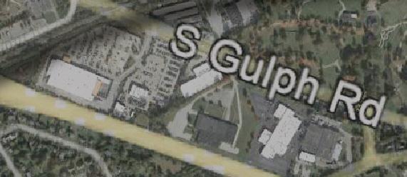
3 Moore Road Multimodal Trail & Linear Park Concept Study
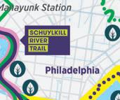
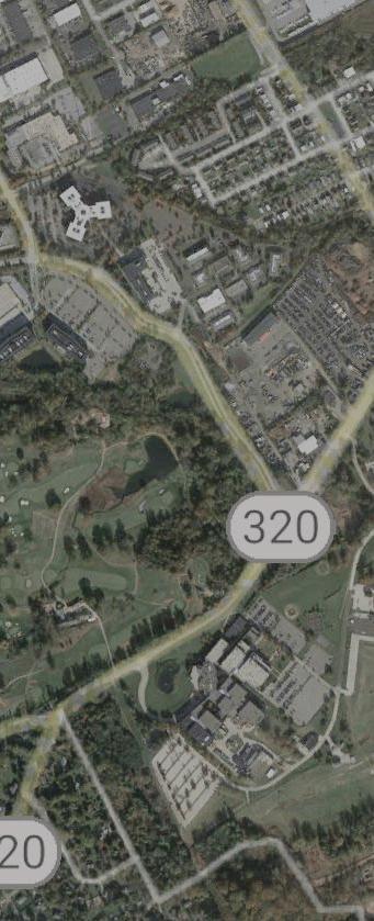
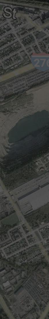
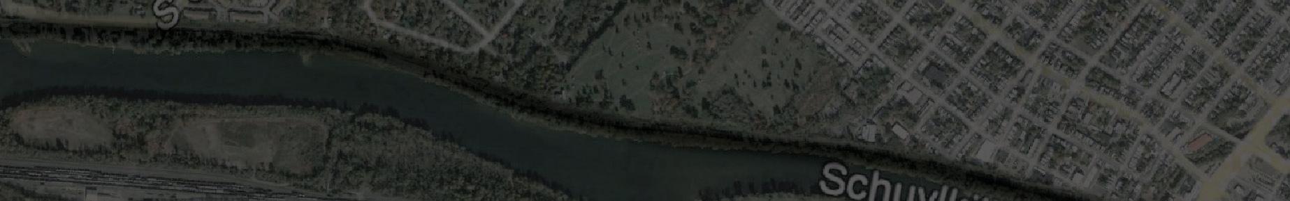
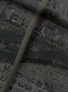
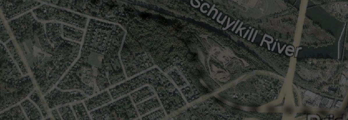
Moore Road Trail Connection to Schuylkill River Trail-West
on a new vision for the area setting a plan in motion for the integration of commercial, retail and residential land uses for the area. Rezoned in 2014 as mixed use, ‘Moore Park’ became the new name, using the Moore-Irwin House (quarters for Gen. Muhlenberg during the Valley Forge encampment) as local inspiration for a new identity.
Moore Road Trail Study Objectives
The Moore Road Multimodal Trail/ Linear Park Concept Study follows the successful First Avenue Linear Park project (2017-2023) as a transportation improvement directly impacting safety and accessibility for both the corporate and residential residents of Moore Park. The completed trail will promote and enhance Moore Park as the walkable, mixed-use location that it was envisioned to be---a beautiful and visually appealing corridor that showcases a public/ private collaboration for a vibrant future.
The Concept Study will:
• Evaluate the feasibility and identify challenges of constructing a 10’-wide multimodal trail on both sides of Moore Road from its intersection with First Avenue to its intersection with Valley Forge (SR 0023) to the north.
• Provide typical cross-sections of the planned trail
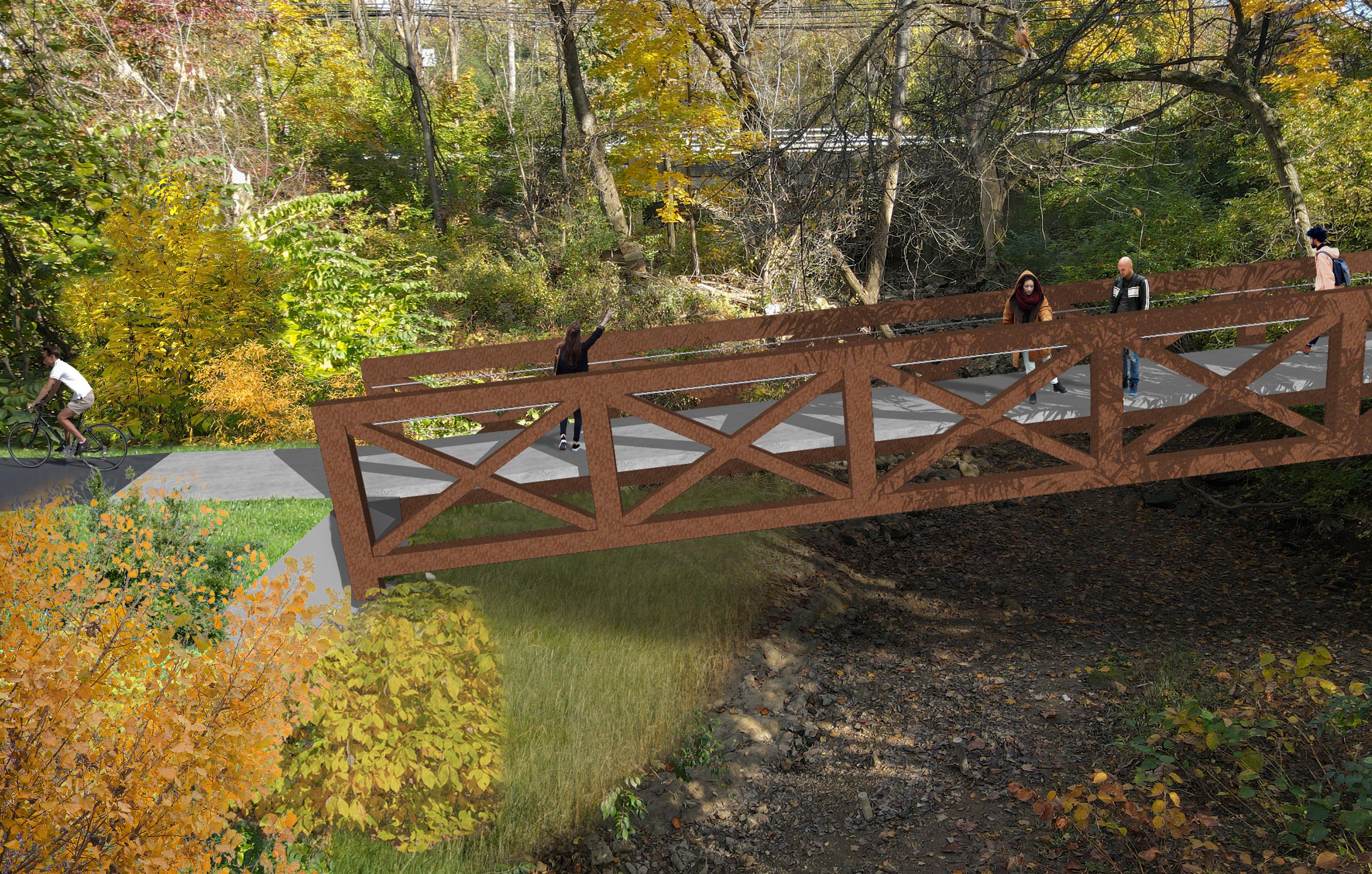
• Investigate pedestrian bridge crossings of Trout Creek that are a part of the trail
• Communicate to all affected property owners on the development of the future trail
• Estimate probable costs of construction, and
• Evaluate options for a connection from the Moore Road Multimodal Trail to the Schuylkill River Trail West and points beyond.
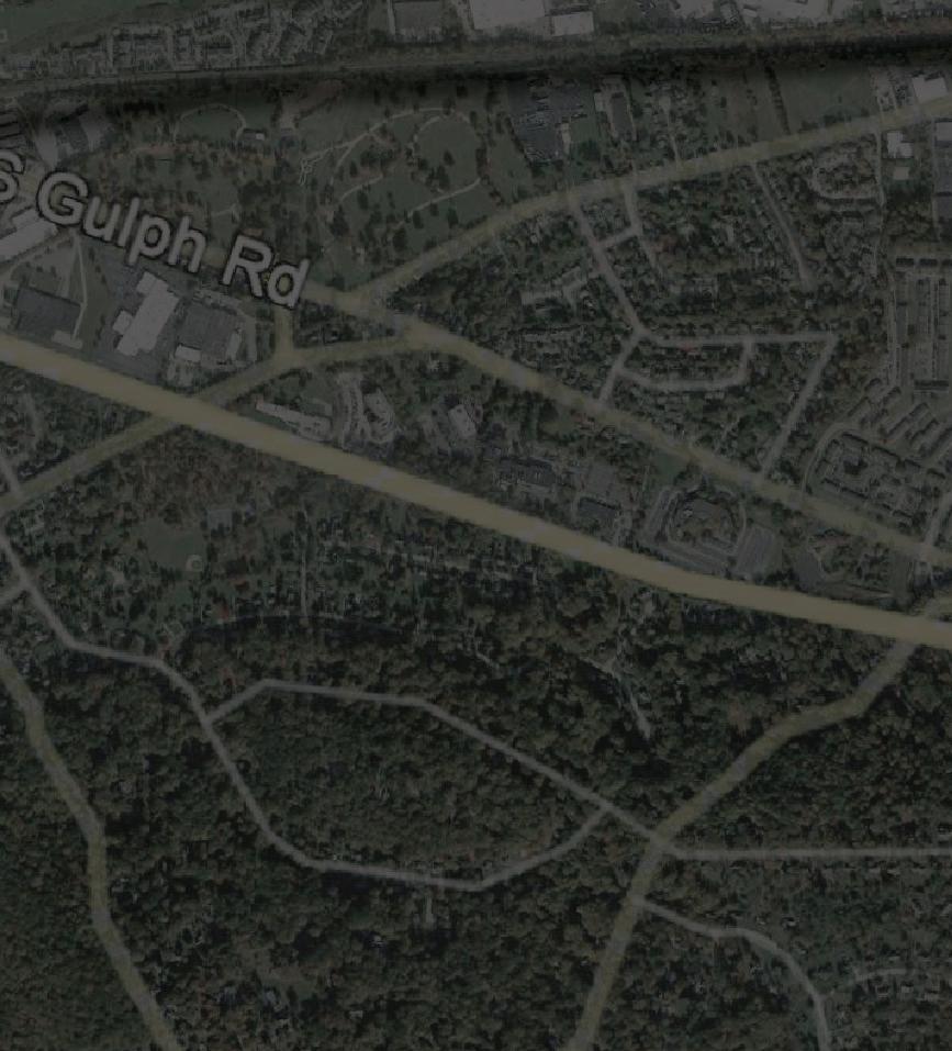
Planning Context of Moore Road Multimodal Trail / Linear Park Regional Planning Context
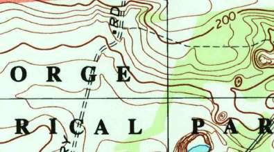
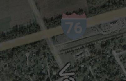
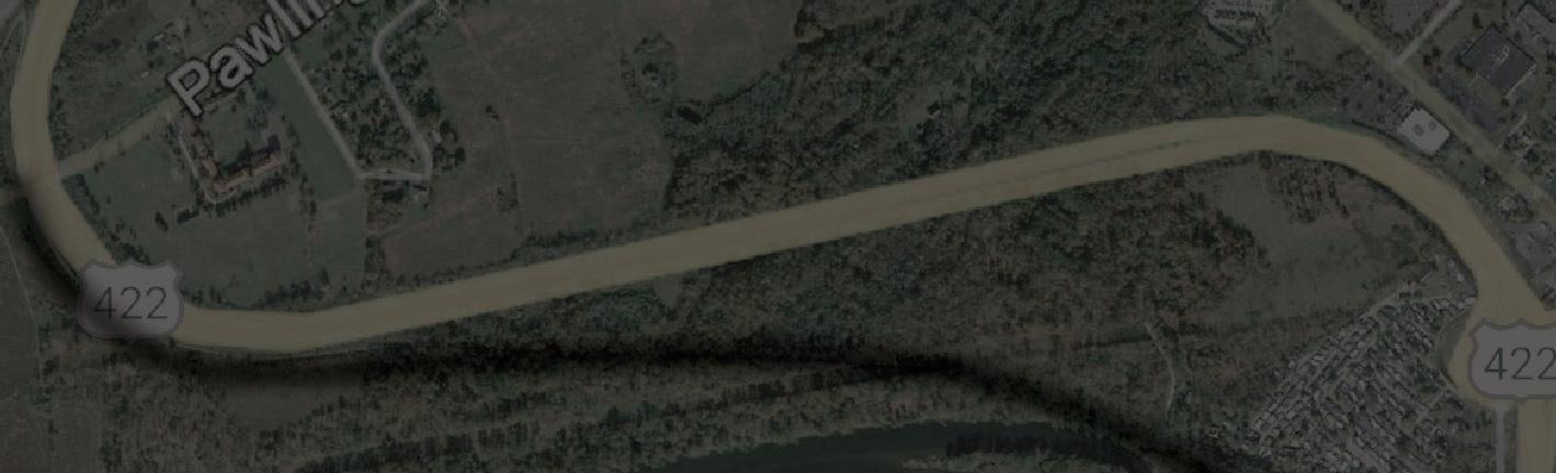
In the Philadelphia region, King of Prussia is currently ranked as the third largest employment center behind Center City and University City and exists at the intersections of the most vital transportation corridors in southeast PA: I76, I276, SR422, and SR202.
King of Prussia has been affected by the reliance on its workers and residents having an existing transportation network that has been challenged to keep pace with the growth of travel demand. KOP has continued to prosper and grow despite congestion and less-than-reliable commute times. Future transportation improvements including multimodal facilities for pedestrians and cyclists are important consideration for both future growth and equitable transportation access. SEPTA’s King of Prussia Rail initiative to extend rail service from Norristown to King of Prussia is an important regional project that will enhance access to KOP and will make access to King of Prussia more convenient and equitable. (See project description that follows) Similarly, suburban communities in Montgomery County and Chester County have embraced the need for encouraging pedestrian and bicycle movement amongst and between employment centers, residential communities and important recreational amenities like the Schuylkill River Corridor and Valley Forge National Historic Park.
4 Moore Road Multimodal Trail & Linear Park Concept Study
Relevant Land Use, Planning, Zoning and Transportation Initiatives & Studies Walk Montco/ Montgomery County Walkability Study 2016

A detailed ‘look’ at pedestrian movement in Montgomery County was completed by the Montgomery County Planning Commission. While existing inventory of sidewalks in Upper Merion Township shows some sidewalks in residential neighborhoods, connections to commercial areas and available transit in King of Prussia is lacking. King of Prussia is noted by the County as a ‘designated growth area’ (DGA). All DGAs in the County are recommended to have sidewalks installed.
The Circuit
Montgomery County has placed a high priority on the completion of the Circuit Trails network, a 750-mile network connecting people to jobs, park and waterways. To date, over 300 miles have been constructed with many miles in planning, acquisition or design stages.
Approaching completion is the long-awaited connection between the Chester Valley Trail in Chester County to the Schuylkill River Trail East in Norristown, representing the connection of two significant regional trails linking the N-S and E-W axis of Circuit Trails.
Most notably related to Moore Park is the ‘North Gulph Road Connector’ currently in the ‘planned’ stage. This link connects the Valley Forge National Historic Park with the burgeoning mixed-use community of the Village at Valley Forge. A study to consider the options available in this extremely complicated transportation corridor was completed in 2019. See description below.
5 Moore Road Multimodal Trail & Linear Park Concept Study
The Circut Trails https://www.dvrpc.org/webmaps/thecircuit/
North Gulph Road Trail Feasibility Study 2019

The ‘North Gulph Road Connector’ study examined the feasibility of connecting the Valley Forge National Historic Park to the Village at Valley Forge mixed-use development with Moore Park and eventual connections to the Chester Valley Trail. The confluence of the PA Turnpike, US 422 and US 202 and the crossing of Trout Creek within a three-mile distance represents significant challenges for the trail. Six (6) sections were studied; and the connection to the First Avenue Linear Park trail to the Moore Road Multimodal Trail and Linear Park represents another planned connection to this location.
Local Planning Context
King of Prussia Mixed Use Zoning District
In 2014, Upper Merion Township re-zoned the area known as the King of Prussia Business Park to a ‘mixed use’ district to encourage the development of corporate, commercial and residential uses. Since its adoption, several residential projects have been constructed. In 2018, the area was re-named ‘Moore Park’ to better reflect the new vision for the area with expanded live-work opportunities. The vision for Moore Park embraces the ‘live-work-play’ trend that have proven so successful in many
areas of the country. In that context, Moore Park is beginning to realizes its prominence as a commercial / residential real estate and employment center.
Upper Merion Draft Comprehensive Plan 2019

Moore Park occupies ‘Planning Area 1’ of the Township Comprehensive Plan. Notable major transportation improvements projects within this planning area include:
• SR 0023 (Valley Forge Road) at Mancill Mill & Beidler Roads: Re-Alignment: PennDOT is in the final design stage of this project at the beginning of 2023. Geometric improvements at this location will improve safety and levels of service as well as replace the roadway crossing of Trout Creek.
• SR 0023 (Valley Forge Road) and North Gulph Road: Intersection improvements.
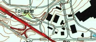
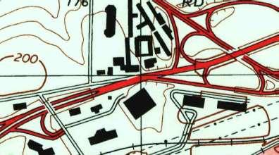
• PA Turnpike Interchanges in King of Prussia: Feasibility study of the construction of a new PA Turnpike interchange with direct access to the Freedom Business Center within Moore Park has been completed. Additionally, a Henderson Road Interchange has also been studied. Both projects have direct access to light rail stations proposed by the SEPTA KoP Rail Extension.
• SEPTA: King of Prussia Rail Extension: Final design of a preferred route to extend passenger rail from the existing NHSL (Norristown High Speed Line) terminus in Norristown approximately 4 miles into King of Prussia began in Summer 2022. Two station stops are planned for First Avenue within Moore Park at Allendale Road and at
6 Moore Road Multimodal Trail & Linear Park Concept Study
Moore Road. The Moore Road station represents the terminus of the rail extension. A parking garage is also planned for that location. The incremental and coordinated approach of SEPTA and DVRPC reflects the following core planning principles:
◊ Make walking and biking as comfortable as possible
◊ Encourage development that supports transit
◊ Capitalize on place-making opportunities
◊ Elevate the transit experience.
Upper Merion Township also acknowledges that sidewalk connectivity in the Township has a moderate level of service as sidewalks connections are incomplete and noticeably lacking on the eastern and western boundaries of the Township.
Transit-Oriented Development (TOD) :
SEPTA & DVRPC
Both DVRPC and SEPTA addressed the critical importance of TOD principles at Moore Park in King of Prussia in a planning study that examined a 10-20 year outlook for TOD development in the area and specifically at the proposed rail stations in King of Prussia.
• ‘King of Prussia Rail Project’ Study, DVRPC-2019. Key takeaways:
◊ TOD: Parking management; regulatory changes; diversify building types
◊ Pedestrian & Bike Infrastructure: Close the gaps; enhance safety
◊ Placemaking: Park and trail connections; public realm improvements
◊ Funding Sources: Implementation methods.
• ‘King of Prussia Rail Transit Oriented Communities Open Houses’ SEPTA-Spring 2022. Public input to station planning. Comments included:
◊ First/ Moore Station: Walkable, bikeable connection to Valley Forge Park and trails desired; the desire to improve the Moore-Irwin House and Arboretum
◊ General: safety, security, construction noise/ effects mitigation
Upper Merion Township/ Township-wide Stormwater Management Plan (2020)
Trail and connectivity improvements like all other types of earth disturbance projects must comply with the local requirement and stormwater ordinances. Upper Merion updated a previous stormwater management study completed in 1995 with current drainage area and impervious coverage data incorporated into the hydrologic and hydraulic analyses. Public participation was part of the process that identified and prioritized flooding concerns in the Township.
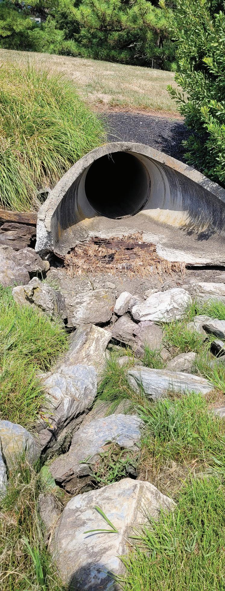
Moore Road, Valley Forge Road/ Mancill Mill Road and First Avenue/ American Avenue were all areas of concern in the Trout Creek watershed due to inadequate culvert size. (Note: The Moore Road culvert was replaced in 2019.)
Property owners who grant easements for the construction of public trail amenities on their properties are ultimately responsible for managing stormwater should disturbances exceed the thresholds noted in Chapters 140A & B. However, impervious surface disconnection methods employed in the final design of these amenities may help to mitigate the need to structurally address the control of volume and rate of runoff.
The Township and King of Prussia District are collaborating on recommendations for trail/ pedestrian connection redevelopment guidelines in stormwater management ordinances in the KPMU Mixed-Use zone.
7 Moore Road Multimodal Trail & Linear Park Concept Study

INVENTORY & ANALYSIS

2
Chapter 2 – Inventory and Analysis Property Owner Input
The King of Prussia District representatives and study consultants met with ten of the twelve property owners or managers on their sites to explain the project and how their properties might be impacted by their partnership in the Moore Road Multi-Use Trail and Linear Park. An overview of Moore Park, a preliminary graphic of the Moore Road Trail alignment and the consideration of the connection to the Schuylkill River Trail West as part of the project was provided in advance of the meetings. Common comments/ concerns included:
• What physical items on my property may require relocation? Can the trail be re-routed to avoid these items?
• Am I or the King of Prussia District responsible for the maintenance around and the clearing of snow from the trail?
• What additional costs are involved with having the trail on my property?
• How does the trail impact any future plans for the re-development of my property?
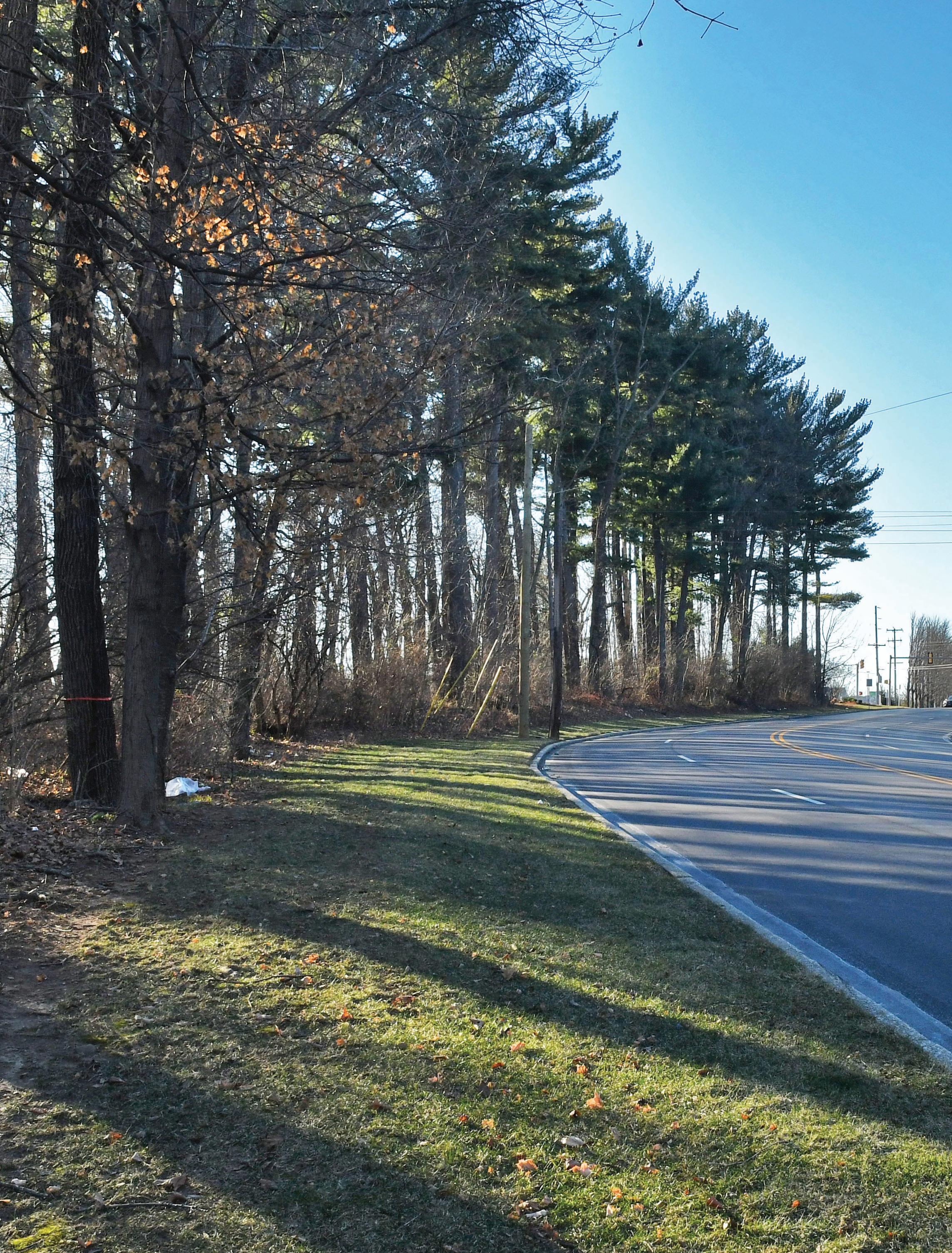
Site Reconnaissance
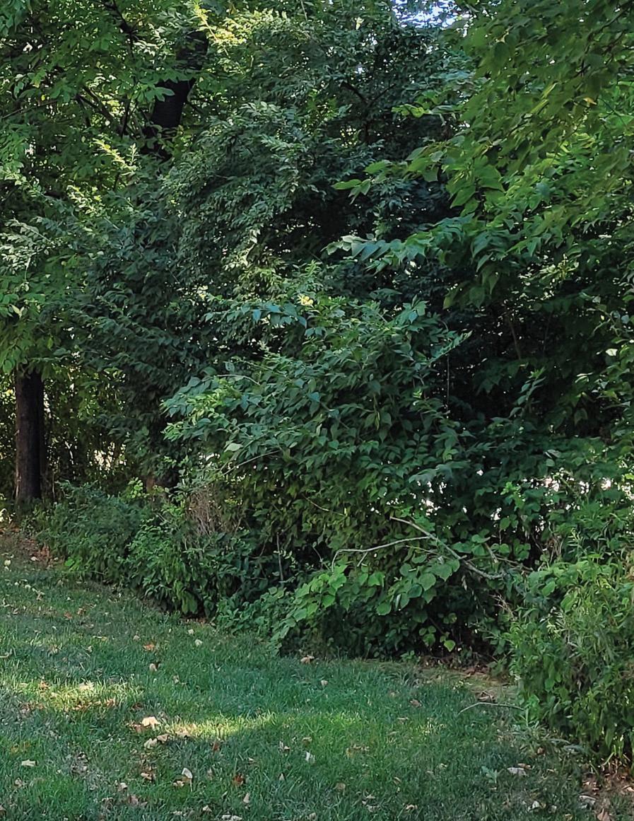
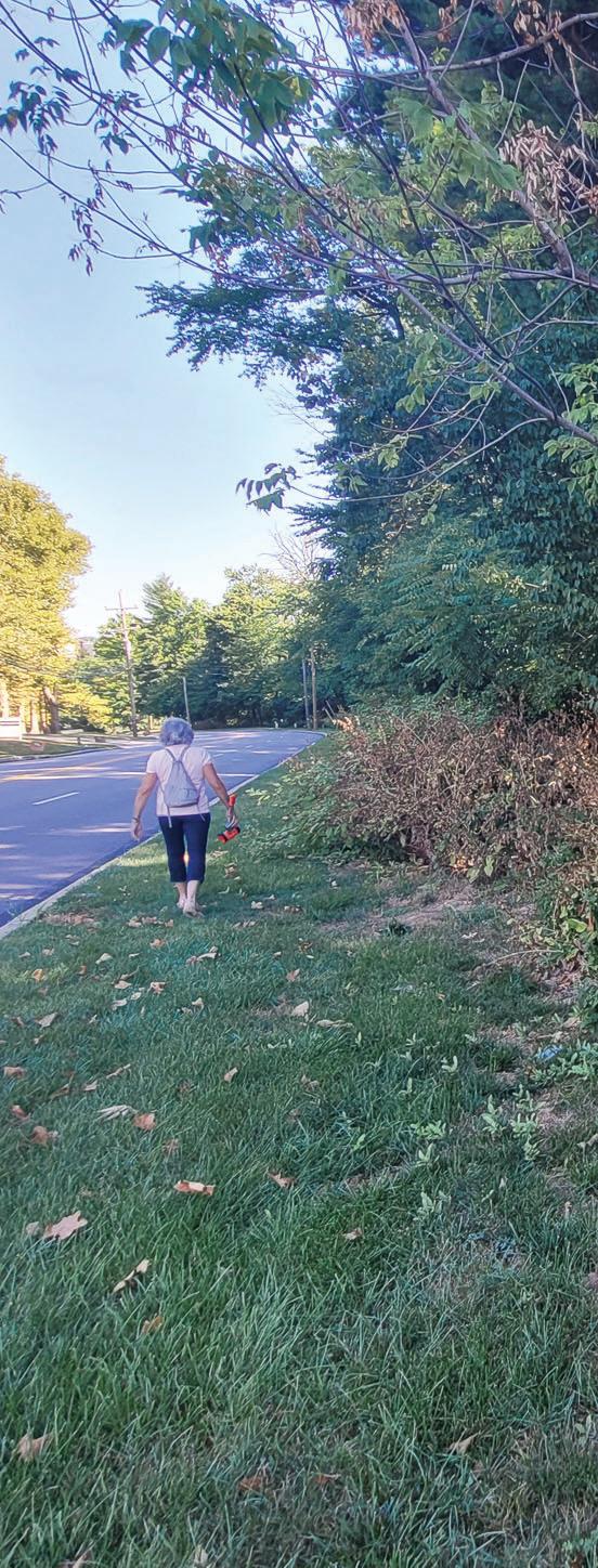
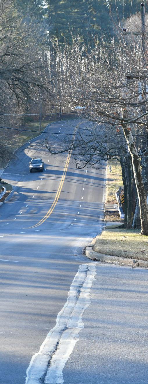
The consultant team walked both the entire length of the existing and planned First Avenue Linear Park as well as make several visits along the length of the proposed Moore Road Trail to assess existing conditions, challenges and opportunities. It is intended that typical design features and amenities from the First Avenue project will carry through to Moore Road (seating, lighting, trash receptacles, bus shelters and planting beds.)
The site visits were used to assess current traffic patterns and stormwater management system features that may impact trail alignments but also look for opportunities to create beautiful amenities within the suburban/ urban environment of Moore Park.
10 Moore Road Multimodal Trail & Linear Park Concept Study
Existing Conditions
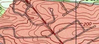
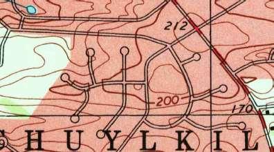
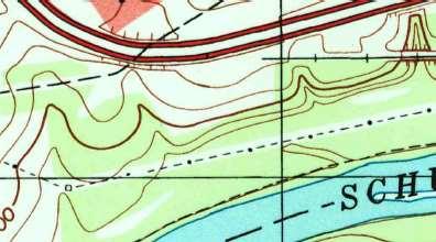
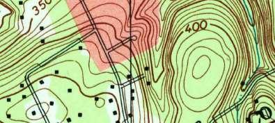
Topography
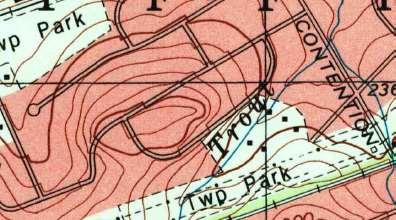
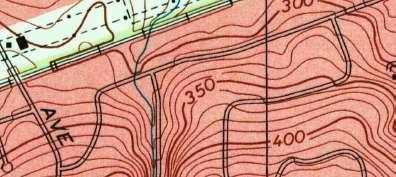
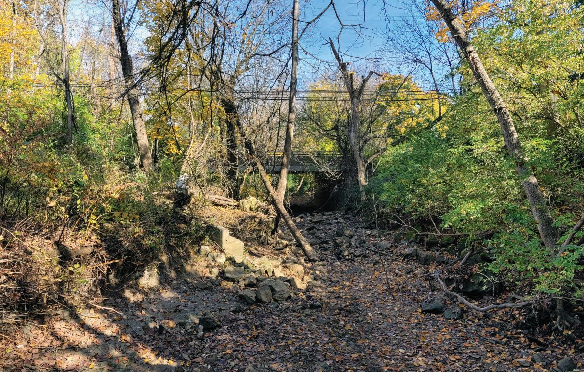
Moore Park and the Moore Road area are typical of many areas in Upper Merion in that there exists moderate to steep grades especially adjacent to local streams. Trout Creek bi-sects the project area and existing grades immediately to the north and south of the Creek are steep. From the First Avenue intersection with Moore to the Creek there is a grade drop of almost 60 feet to the creek. From the Creek to the Valley Forge Road intersection there is a grade rise of another 20 feet.
Hydrology
Moore Road and the majority of Moore Park are part of the Trout Creek watershed. In the Stormwater Management Report of 2019
performed for Upper Merion Township, hydraulic and hydrologic analyses of the seven (7) major streams were performed to identify areas prone to flooding. Though Moore Road at Trout Creek was not identified as a ‘known flooding area’, the areas proposed for trail crossing of the Creek at the mid-point of the project area occupy both the 10-year and 25-year flood area. ( See Appendix.)
A culvert replacement project of the Trout Creek crossing at Moore Road was completed in 2019. The roadway surface elevation is above the projected 100-year flood elevation by three feet. Final engineering for pedestrian bridges will require strict compliance with FEMA (Federal Emergency Management Agency) requirements and all technical conditions for applications for a PA Department of Environmental Protection (DEP) Water Obstruction and Encroachment Permit through a Standard Joint Permit Application.
11
Moore Road Multimodal Trail & Linear Park Concept Study
(Albite-Chlorite Schist) Wissahickon Fm (Oligioclase Mica Schist)
Kaarst Geology
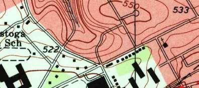
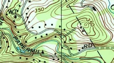
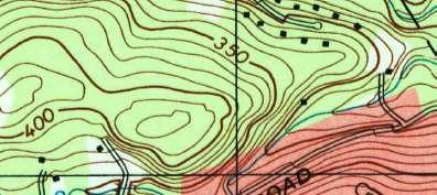
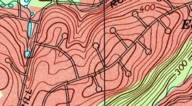
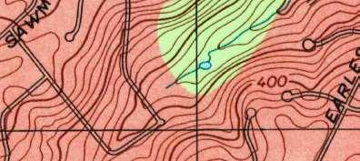
Based on a USGS Geological Survey of the Valley Forge quadrangle, Upper Merion Township and Moore Park specifically occupy a moderately high region of Kaarst geologic features when compared to all quadrangles in PA. The specific ‘Sinkhole Location Map’ prepared for Upper Merion Township indicates that Moore Road falls into ‘Zone 1’ with a high incidence of subsidence activity. All structural foundations for trail features, most especially prefabricated pedestrian bridge piers, must account for Kaarst geology in final design.
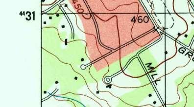
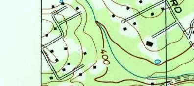
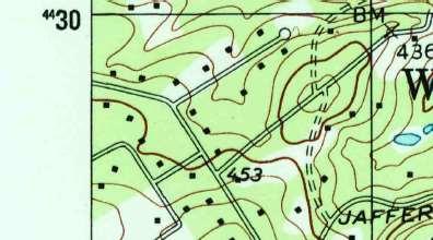
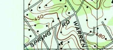
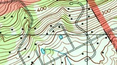
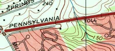
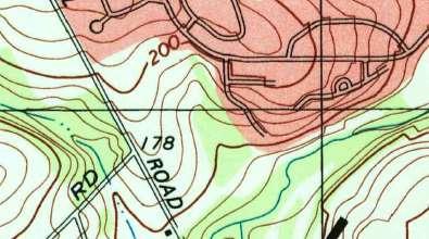
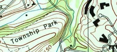
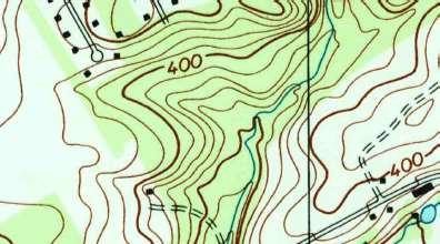
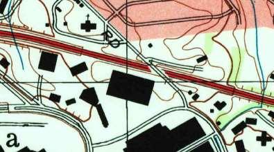
SchuylkillRiver SchuylkillRiver as e ma p p e pa ed A pr 2 01 8 ¯ UpperMerionTownship MONTGOMERY COUNTY, PA § § ¨ § £ 23 23 23 23 320 320 Bridgeport West Conshohocken Conshohocken Borough Plymouth Township West Norriton Township Lower Merion Township Radnor Township Tredyffrin Township VALLEY FORGE NATIONAL HISTORICAL PARK KING OF PRUSSIA MALL GULPH MILLS GOLF COURSE MunicipalityofNorristown VALLEYFORGEPARKROAD FIRSTAVE ALLENDALE RD HENDERSONRD FLINTHILLRD SWEDELAND RD RIVERRD VALLEYFORGERD VALLEY FORGERD BEIDLERRD NGULPHRD SGULPHRD WARNERRD HENDERSONRD COUNTYLINERD NorristownSEPTAHighSpeedLine CROTON RD MATSONFORD RD MID-COUNTY EXPY CHURCHRD DEKALB PIKE FORD ST CHURCH RD FORDST SCHUYLKILLEXPY UPPERGULPHRD PENNSYLVANIATPKE ! ! Geology Antietam Fm and Harpers Fm Undiv Chickies Fm Conestoga Fm Elbrook Fm Felsic Gneiss, Pyroxene bearing Ledger Fm Patapsco Fm Pensauken and Bridgeton Fms Undiv Stockton Fm Wissahickon Fm
! ! ! !( (! !( (! ( ! !( ( ! ( ! (! !(!( ( ! (! (! ( ! (! !(!( (! ( ! ( ! ! !( ( ! !( (! ( ! (! ( ! ! ! ! (!(!(! !( ( ! !( ( ! ! (!(! !( ( ! ! ! (! ( ! !( ( !! !(!( (! ( ! ! (! !( ( ! ( ! ! !(!( ( ! (!(!(! ( ! !( (!(! !( ( ! (! ( ! (! (! (! ( ! (!(!(! !( (! !( ( ! ! (!(! ( ! !( ( ! ! !(!(!(!( ( ! (! !(!(!( ( ! !(!(!( (!(! ( ! (! ( ! !( ( ! !( ( ! ! ! !( ( ! !( ( ! ( ! !(!(!(!( ( ! !(!( (! ( ! !( ( ! !( (! ( ! ( ! ( ! !(!( ( ! ! ( ! ( ! ! ! (!(! ( ! !(!(!(!( ( ! !(!( ( ! ! ! ! (! (! (! ( ! (!(! ( ! (! ( ! (! ( ! ( !! (!(! !( (! !( ( ! !( (! !( (!(!(! !(!( (!(!(!(!(!(! ( ! (!(! ( ! !(!( (! ( ! !( (!(!(!(! !( ( ! !( (! !( ( !! (!(! !( (! !( ( ! (! ( ! ! ! ! ! ! ! ! (! ( ! ! ! ! ( ! ! ( ! ! ( ! ! ( ! ! ( ! ! ! ! ! ( ! ! (! ( ! ! ( ! (!(! ( ! ! ! !( ( ! ! ( ! ( ! (! !( (!(! !(!( ( ! !(!(!(!( ( ! ( ! !( (!(!(! !( (! !(!( ( ! ! !( (! !(!( (! !(!(!( ( ! !(!(!(!(!(!(!(!(!( ( ! ! ! !( ( ! (! !( (!(!(! ( ! ! !( ( ! !( (! ( ! ( ! ( ! (!(! ( ! ( ! ( ! ! ( ! ! ( ! ! ! ! !( ( ! ( ! ! ( ! !( ( ! ! ! ( ! ! ( ! !(!( ( ! (!(!(! ( ! !( ( ! ! !( ( ! ( ! (!(! !(!( ( ! ( ! ( ! ! ! ! ! (! !( ( ! ! ( Legend Sinkhole Locations Sinkhole Surface Depression Figure 1 : Geologic Composition 12 Moore Road Multimodal Trail & Linear Park Concept Study
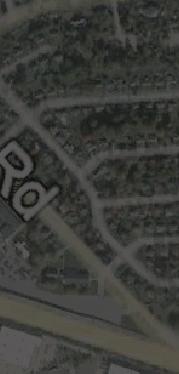
Moore Rd
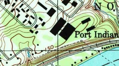
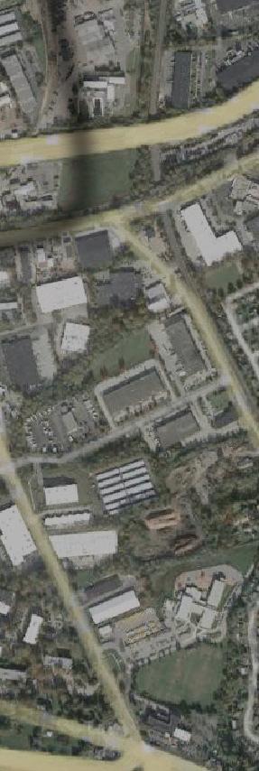
Transit Connections
Existing Transit


Moore Road currently has both SEPTA bus service and the local shuttle services of the ‘Rambler’


(Upper Merion Township operated). The SEPTA Bus Route 125 uses Moore Road and Eighth


Avenue for service to the Valley Forge Casino and as a turn-around. The 125 Route makes stops at the Valley Forge Towers and near 760 Moore Road access drive on Valley Forge Road. With the future construction of the SEPTA Rail Extension to King of Prussia with a proposed parking garage, Route 125 service is expected to continue on Moore Road. The ‘Rambler’ is a residential amenity for Upper Merion residents servicing residential neighborhoods and local shopping establishments, including The Village at Valley Forge. Current stops include the Valley Forge Towers at the northern terminus of the project area and Heuser Park immediately east of Moore Park.

13 Moore Road Multimodal Trail & Linear Park Concept Study
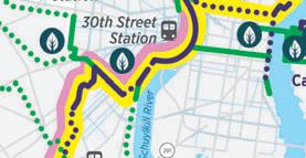
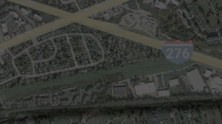
Upper Merion Tredyffrin RadnorLower Merion Norristown Bridgeport West Norriton Lower Providence Gulph Mills Matsonford County Line Hughes Park DeKalb St Bridgeport Norristown Transportation Center Valley Forge National Historical Park MANAYUNK/NORRISTOWN LINE NHSL DELAWARECOUNTY CHESTER COUNTY MONTGOMERY COUNTY £ 422 § 276 § ¨ 476 § ¨ KOP RAIL 1 1. Visitor Center at Valley Forge 2. Valley Forge Casino Resort 3. KOP Post Office 4. KOP Town Center 5. KOP Mall 6. Upper Merion
School 7.
8. Upper Merion Township Building
Library * Formerly
KOP Business Park Study Corridor Landmarks KING PRUSSIA RAIL PROJECT OF DECEMBER 2018 Station Area Planning for the Norristown High Speed Line Extension to King of Prussia StationAreaPlanningfortheNorristown
Area Middle
Upper Merion Area High School
&
known as the


TRAIL / LINEAR PARK ALIGNMENT 3
Chapter 3 – Moore Road Trail / Linear Park Alignment Analysis
Trail Design Fundamentals
The design and construction of trails should follow specific technical safety standards. As a starting point, preliminary design identifies the type of trail user and establishes which technical standards are acceptable. The Moore Road Trail will serve pedestrians and cyclists ranging from child-level to experienced levels of cyclists. Relevant guidance manuals include:
• AASHTO (American Association of State Highway Officials) - Guide for the Development of Bicycle Facilities
• NACTO (National Association of City Transportation Officials) - Urban Bikeway Design Guide
• MUTCD (Manual of Uniform Traffic Control Devices)
• PA DCNR (PA Dept of Conservation and Natural Resources) - Pennsylvania Trail Design and Development Principles
• ADA (American with Disabilities Act) Guidance for Outdoor Recreational Activities
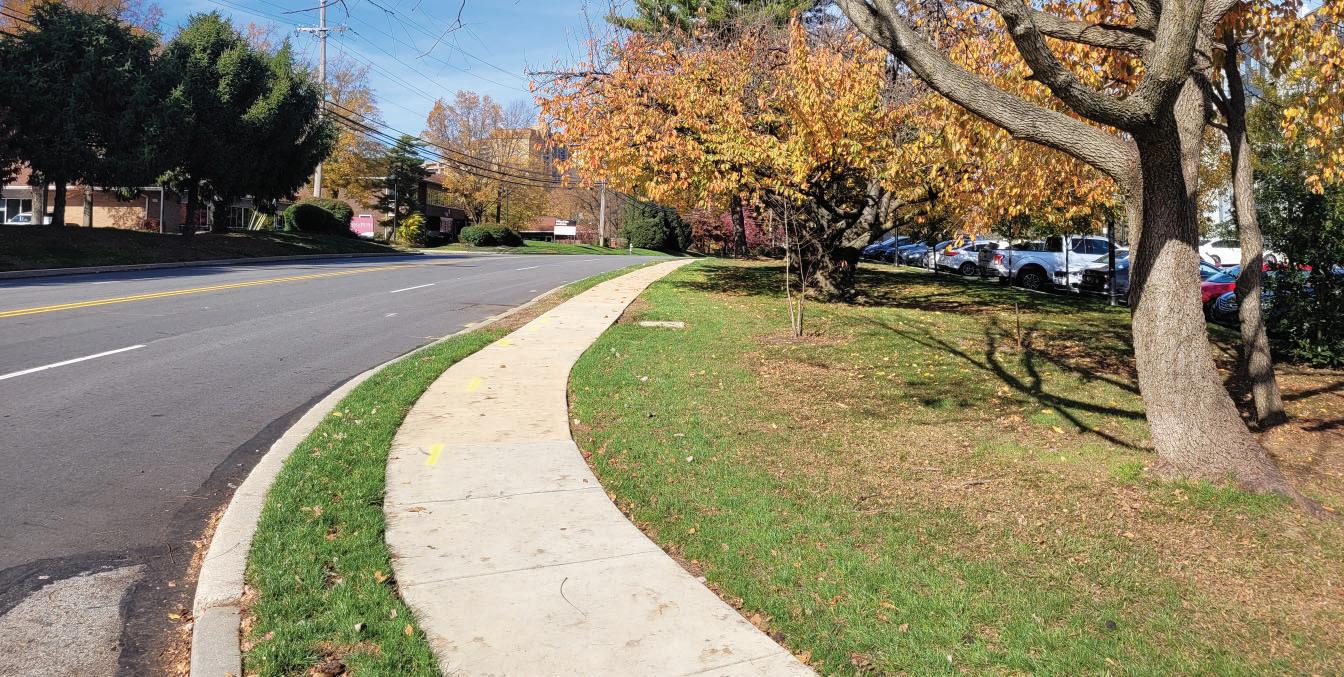
The Moore Road trail will be considered a multiuse trail and incorporates the following design criteria:
DESIGN CRITERIA
Minimum Width
Maximum Slope
A typical ‘toolbox’ of trail design items assumed to be incorporated into the Moore Road shared use trail include crosswalks, ADA curb ramps, rapid flashing beacons, ‘hand man’ pedestrian crossing signals, pedestrian refuge islands and existing traffic signal timing modifications.
MOORE ROAD SHARED USE TRAIL
10 Ft.
Desired maximum of 5%; Maximum of 8% slope for a distance of 200 ft. with minimum required landing of 20 ft. Max. 2% cross slope
Minimum Horizontal Clearances from vertical obstructions 2 Ft. from edge of trail
Trail Material (use disturbance and erosion potential considered)
Asphalt
Trail Signage (required for safe trail navigation and crossings) Trail signage to be provided for grade changes, crossings and for educational/ cultural purposes; compliance with Upper Merion Township standards
ADA Compliancy Crossings, curb ramps and landing areas to be in compliance with PennDOT Guidance Manual and ADA standards
16 Moore Road Multimodal Trail & Linear Park Concept Study


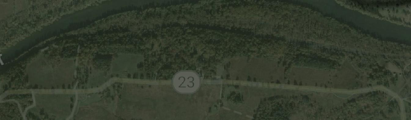
Road
23 8th Avenue 9th Avenue 1st Avenue 17 Moore Road Multimodal Trail & Linear Park Concept Study
Moore
Route
Trail Design and Engineering Considerations
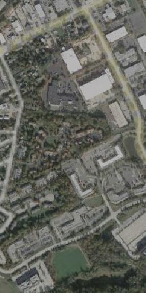
The King of Prussia District will work with individual property owners to secure easements for the design and construction of the trail. During site visits and meetings with owners/representatives, trail orientation and technical challenges for the final design phase were noted and discussed. Descriptions are from south to north.
1000-1020 First Avenue
This site is the southeastern terminus of the project area’s east side. A large, wooded buffer currently exists between Moore Road and site parking allowing the proposed trail to take advantage of a shaded, secluded character. Final engineering phase considerations:


• Siting of a ‘park-let’ amenity space (seating/ tables/ plantings/ specialty paving) and bench/ trash receptacle area with connection to parcel parking area


• Moderate (5%-6%) existing slopes along trail alignment to parcel boundary at Trout Creek


• Woodland tree evaluation for selective tree and invasives removal


• Eastern pedestrian bridge southern abutment location


• PA DEP permit requirements for FEMA requirements and all technical conditions for applications for a PA DEP Water Obstruction and Encroachment Permit Through a Standard Joint Permit Application.


1100 First Avenue
This site represents the southwestern terminus of the project area’s west side and the future terminus of the King of Prussia Rail Extension. A rail station and parking garage are proposed at this site. Final engineering considerations:


• Existing grades require an alignment that maximizes trail length to meet the 8% maximum grade requirements with retaining walls
• Coordination with SEPTA and/or developer on redevelopment site design


18 Moore Road Multimodal Trail & Linear Park Concept Study
1000-1020 First Avenue Avenue 681
750
1004—1006 West Eighth West Avenue Aqua PA PA Access 1100 First Avenue Avenue
Moore Rd
700
Moore Rd
720
Moore Rd
Moore Rd Moore
• Western pedestrian bridge southern abutment location
Aqua PA Access (Rogers Road)
Trail crossing of Rogers Road will meet all criteria for ADA compliant driveway crossings.
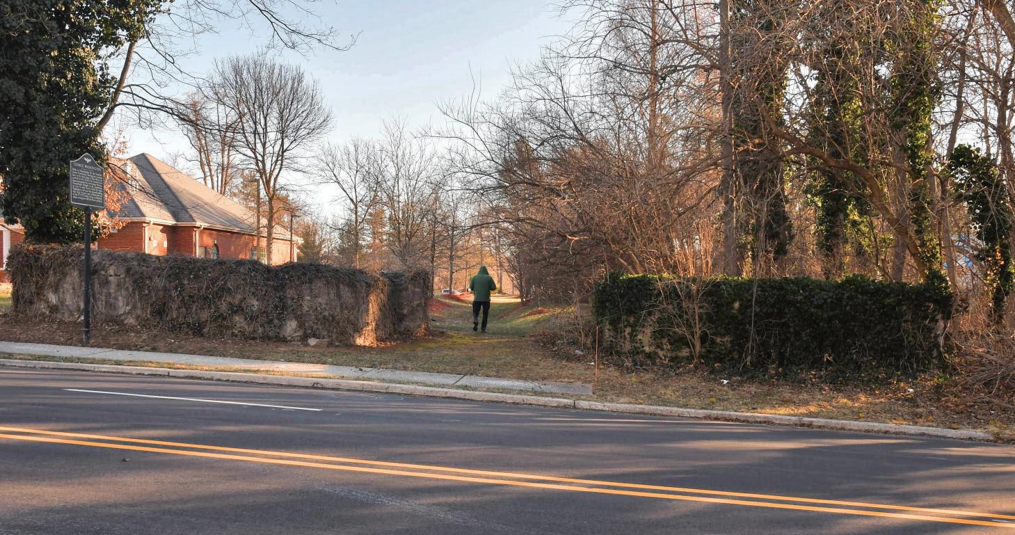
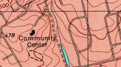
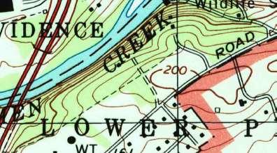
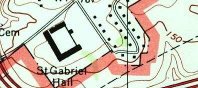
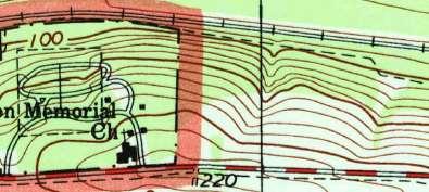
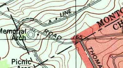
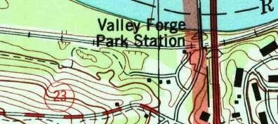
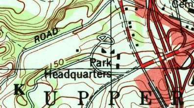
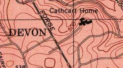
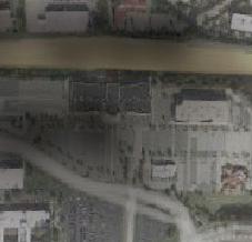
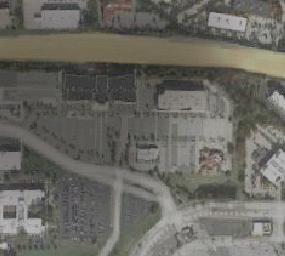
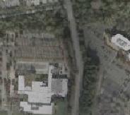
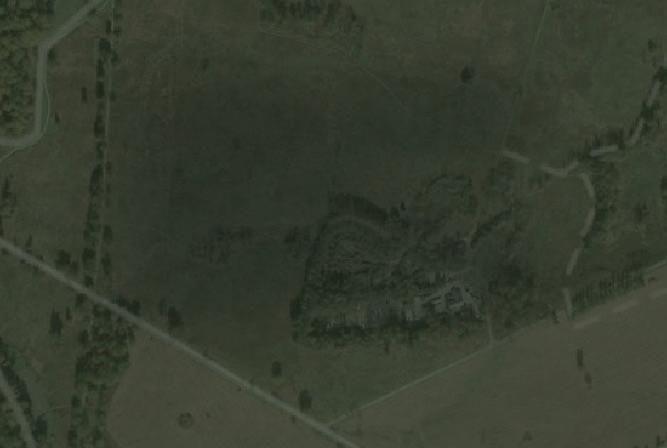
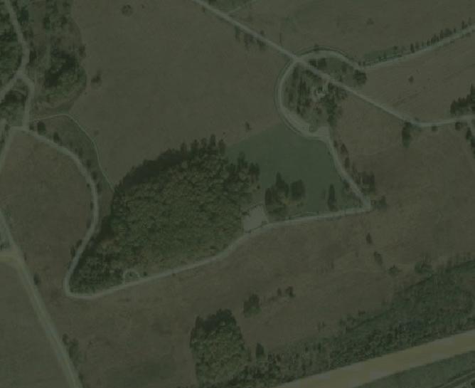
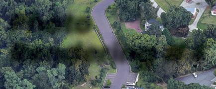
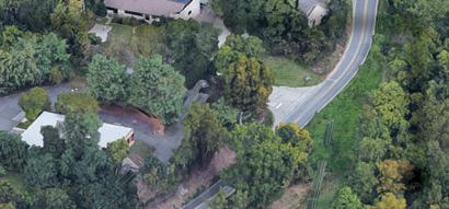
700 Moore Road (Moore Irwin House/ Burgess Arboretum)
The Moore Irwin House and the Burgess Arboretum are valued historic and ecological resources in Upper Merion Township. The King of Prussia District and consultant team met with members of the Shade Tree Commission responsible for the planned renovations of the House and grounds that make up the officially-designated arboretum. Key ecological considerations of the Arboretum were researched and presented in the April 2021 “The Burgess Arboretum-Tree & Landscape management Plan” completed by the Morris Arboretum’s Forestry Consultants. Trees of importance have been categorized and mapped. Final alignment and engineering considerations must include:
• A review of all trees recommended for removal, pruning recommendations
• Consideration of invasive/ exotic tree recommendations
• Coordination with Morris Arboretum and Shade Tree Commission during construction documentation phase
• Western pedestrian bridge northern abutment location
• PA DEP permit requirements for FEMA (Federal Emergency Management Agency) requirements and all technical conditions for applications for a PA DEP Water Obstruction and Encroachment Permit Through a Standard Joint Permit Application.
• Investigation of relocation and restoration of existing historic stone wall currently located on adjacent property
• Bench/ receptacle locations to be coordinated with any Upper Merion Township plans for future access and the restoration of the Moore Irwin House.
19 Moore Road Multimodal Trail & Linear Park Concept Study
681
Moore Road
The proposed trail begins a moderate climb uphill. Final engineering considerations:
• Review quality trees within this alignment for restoration considerations


• On-site drainage swale requires incorporation into trail grading and stormwater management
• Utility pole relocation required just north of Rogers Road crossing


• Bench/ trash receptacle area to be determined
720 Moore Road
The current site with bank has a generous setback along Moore Road and low slopes allowing for a simple alignment along the Moore Road curbline. Final engineering considerations:
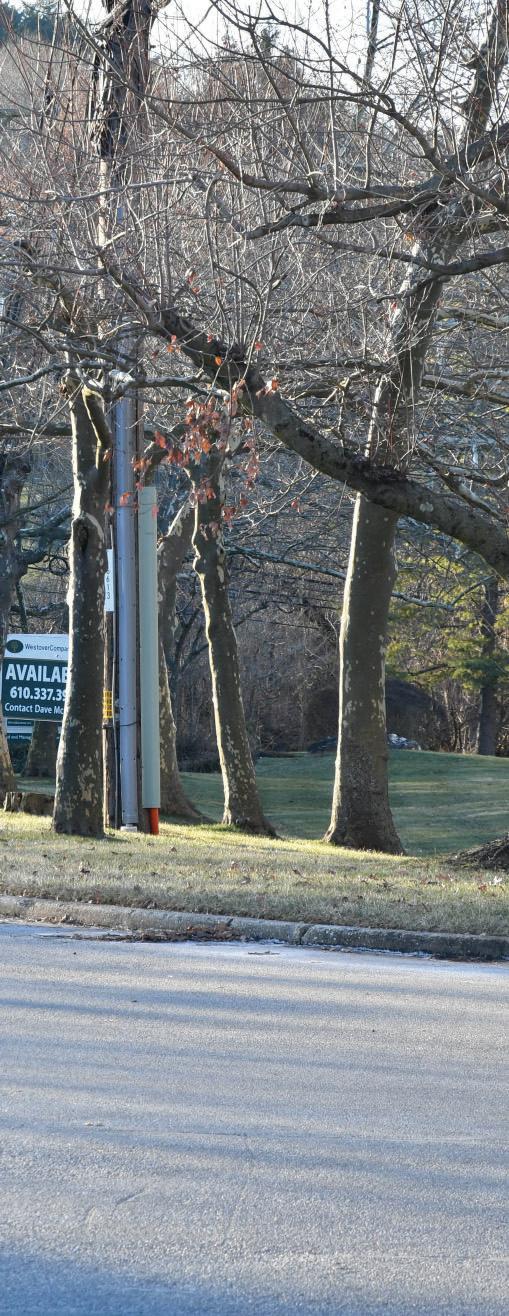
• Relocation of current commercial signage at northwest corner of the site
750
Moore Road
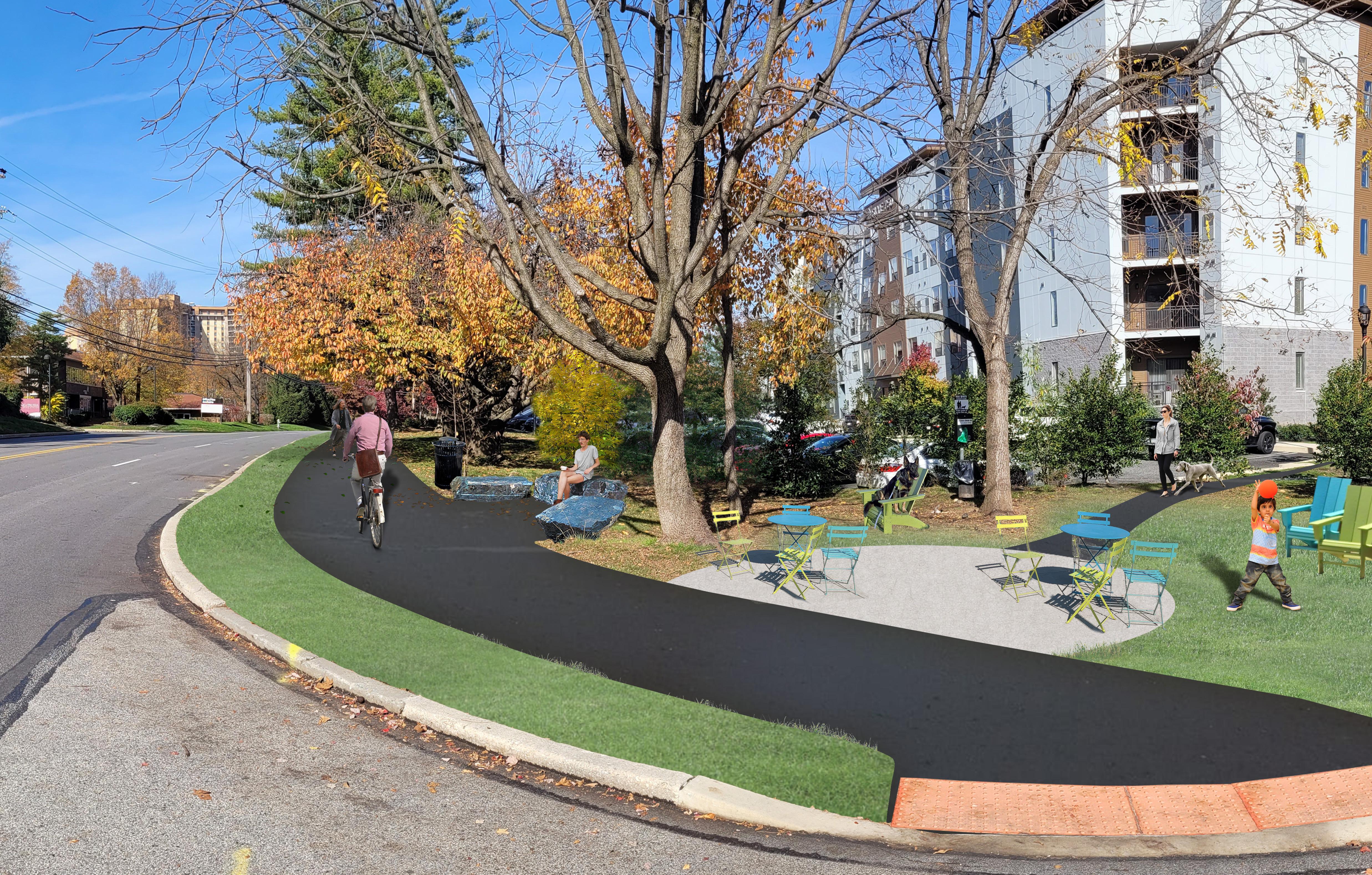
The recent re-development of this site in 2020 has introduced the first residential use on Moore Road. The luxury residential apartment complex of 250 units compliments the current corporate uses and is strategically located to take advantage of the transit opportunities proposed at the First Avenue/ Moore Road intersection. Discussions with property management indicate large resident interest in ‘longer walking routes’ to desired destinations. Final engineering considerations:
• Park-let construction at southern portion of site with connection to site parking and walkway.


• Coordination with 8th/ Moore Road intersection improvements.
1004—1006 West Eighth Avenue
The available space for the proposed trail is a challenge at this site location. Existing parking occupies the area closest to Moore Road as the Moore Road profile begins to decend. In conjunction with 1001-1003 West Ninth Avenue, an assessment of parking requirements for current tenants and future re-development potential


20 Moore Road Multimodal
Trail & Linear Park Concept Study
681 Moore Rd
700 Moore Rd
720 Moore Rd
750 Moore Rd
1004 & 1006 & West Eighth West Avenue 1001 & 1003 West Ninth West Avenue 1000 & 1002 West Ninth West Avenue
760 Moore Rd Moore
may present options for a trail alignment that reduce the overall cost of construction. Final engineering considerations for the trail alignment presented:
• Required retaining walls to maintain trail elevations in proximity to Moore Road elevations
• Three (3) utility pole relocations ; trail clearances are challenged by available horizontal area.
1001-1003 West Ninth Avenue
This portion of the trail on this site is a localized high-point on Moore Road. Available space for the proposed trail proves to be the greatest challenge at this site location. Existing parking occupies the area closest to Moore Road at a point in the Moore Road profile where elevations begin to fall considerably. Final engineering considerations for the trail alignment presented:
• Required retaining walls to maintain trail elevations at Moore Road profile elevations.
• Relocation and reconstruction of property signage on the northern portion of the site.
• Two (2) utility pole relocations; trail clearance here is tight
• Coordination with Ninth Avenue/ Moore Road intersection improvements; right-of-way needs for signalization improvements. (Rapid flashing beacons)
1000 West Ninth Avenue
Trail alignment on this site is most impacted by an existing parking driveway aisle and the outfall of the stormwater management system of the site immediately to the north. The outfall and culvert crossing under Moore Road of the system occur at an established low point on the site which further impact trail grading. Final engineering considerations:
• Coordination with 9th Avenue intersection improvements
• Joint evaluation of stormwater management systems (see 1002 West Ninth Avenue description below) for options that allow greater flexibility and cost savings for trail alignment.
1002 West Ninth Avenue
This site represents the steepest portion of the proposed trail as it terminates at the Valley Forge Road (SR 0023) intersection. The hill along the western site boundary with Moore Road also acts as the western boundary of the stormwater retention system for the site. The narrow strip suitable for the trail will require retaining walls on both sides. Currently, there exists no suitable level space for a trail crossing landing at this important intersection. (See Intersection Improvement section below.) Final engineering considerations:
• Evaluation of parking requirements for this site
• Re-design and construction of alternate stormwater management system allowing greater flexibility of trail grading
760 Moore Road
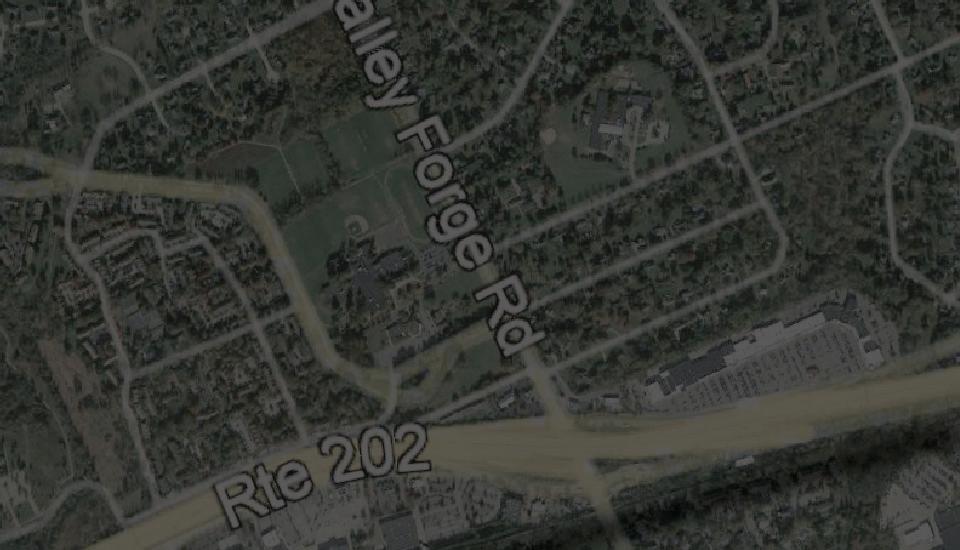
This former operations center is the north terminus of the trail at Valley Forge Road (SR 0023) and is the largest single building within the project area. This site has been considered for the evaluation of a trail connection from the Moore Road Trail to Schuylkill River Trail West. (See Chapter 5: Moore Road Trail to Schuylkill River Trail West).
The existing alignment of the site driveway access on Moore Road (offset from Ninth Avenue) has caused traffic issues on Moore Road at peak hours. The site is located below the elevation of the Moore/ SR 0023 intersection corner by almost 35’ at its highest point. This grade differential drops at the site’s eastern-most driveway access onto Valley Forge Road near Mancill Mill Road. Discussions with the current site owner indicate that re-development plans are not complete at this time. A trail and extended connection to a regional trail system are desired amenities but will need to be balanced with truck movement, parking and site security. Traffic concerns could be ameliorated with the consideration of a realignment of the current Moore Road access drive with Ninth Avenue. (See Intersection
21 Moore Road Multimodal Trail & Linear Park Concept Study
Improvement section below.) Final engineering considerations:
• Maintaining trail grade requirements of less than 8% with a retaining wall and increased trail length within this site section
• Final trail alignment must avoid a large gas utility junction box located adjacent to the eastern curbline of Moore Road.
• 1 utility pole relocation required
Safety
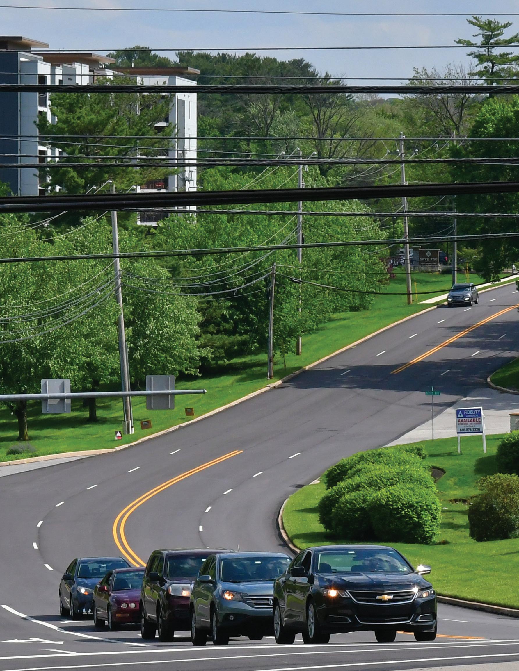
Currently, over 20,000 employees call Moore Park ‘home’. As it continues to evolve, the need for safe pedestrian movement on Moore Road becomes more important than ever before. Safety considerations require pedestrian and cyclist crossings of Moore Road be kept to a minimum. For this reason, the Moore Road Trail is proposed on both sides of the road. Properties within and adjacent to the project area have the potential to be re-developed. Safe connections to properties remains a core principle for Moore Park.
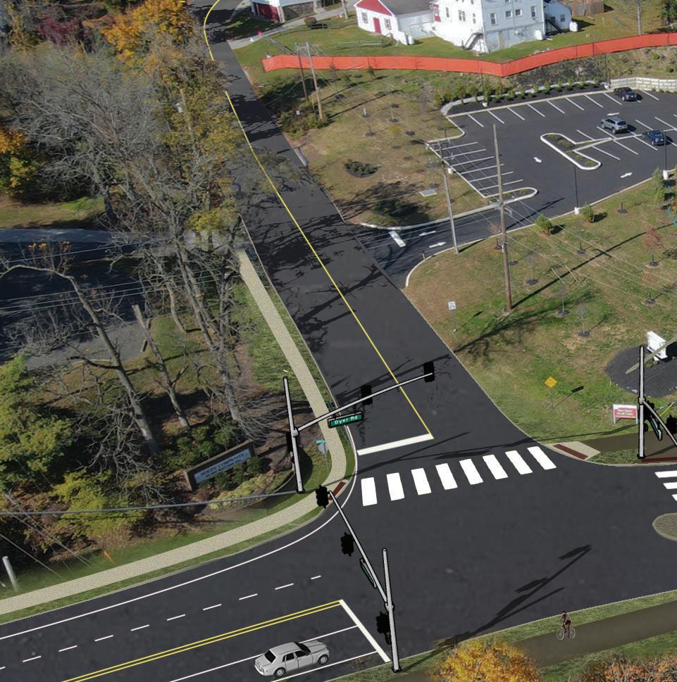
Intersection Improvements
The consultant team evaluated intersection and roadway improvements to ensure that parcels can be adequately served by commercial vehicles while also providing for trail user safety. The following Moore Road intersections were evaluated in this study: Moore Road and Valley Forge Road (SR 0023), Moore Road and 9th Avenue/ 760 Moore Road Parcel Drive, Moore Road and 8th Avenue. Additionally, the intersection of Valley Forge Road and Mancill Mill Road was evaluated in Chapter 4-Connection to Schuylkill River Trail West. Plans are contained in the Appendix.
Moore Road & Valley Forge Road (SR 0023)
Challenges/ Concerns:
Limited area to provide an adequate landing for a trail crossing of SR 0023 at the southwest corner
22 Moore Road Multimodal Trail & Linear Park Concept Study
of the intersection with Moore Road. (Noted in 1002 Ninth Ave parcel analysis above.)
Improvements Investigated:
• Crosswalks are proposed for all four (4) legs of the intersection
• A preliminary evaluation was done to consider the elimination of one of the two (2) Moore southbound travel lanes at the SR 0023/ Moore Road intersection after the right-turn movement.
• The removal of this lane would provide additional space to create a trail landing along the crosswalk area, lessening the impact of the trail on the stormwater basin function of the slope.
• Additional evaluation (traffic studies) and coordination with PennDOT 6-0 is required.
• Required trail signage to be included.
Moore Road & 9th Avenue/ Aligned Driveway of 760 Moore Road
Challenges/ Concerns:
Based on historic peak hour traffic concerns on Moore Road due to the skewed alignment of the current driveway and the west side of 9th Avenue, it would be beneficial to both the site redevelopment and proposed trail to investigate improvements at this location. (The site analysis for 760 Moore Road above noted the current re-development plans being undertaken by the owner. )
Improvements Investigated:
Proposed alignment of the 760 Moore Road site driveway with 9th Avenue. The advantage of this re-alignment is the safe location of a trail crossing with predictable vehicular movements.
• A dedicated left turn lane is proposed from southbound Moore Road into the 760 Moore Road parcel.
• The two existing northbound Moore Road travel lanes would continue to the current three lane (2 left-hand turn lanes; one straight/ right hand turn lane) arrangement at the SR 0023 intersection.
23 Moore Road Multimodal Trail & Linear Park Concept Study
• Revise curb lines for full turning movements of WB-50 commercial vehicles.
• Provide a ‘splitter’ island/ channelized right turns out of the site to reduce crossing distances for the trail users.
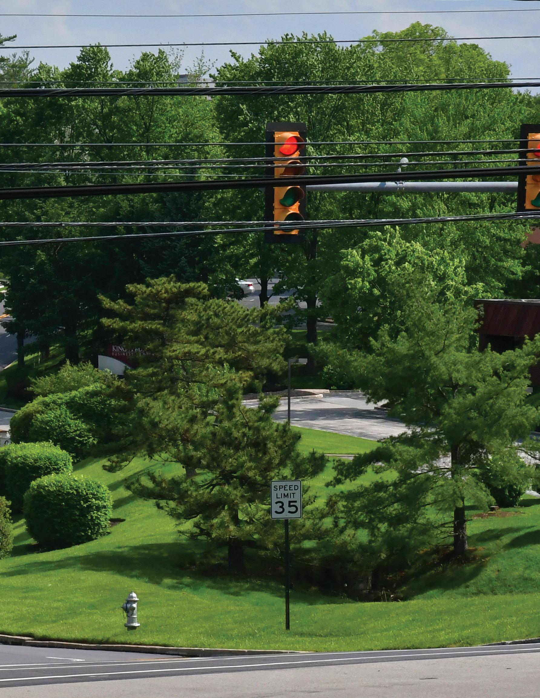
• Provide a rectangular rapid flashing beacon (RRFB) for the Moore Road crossing. Based on the average annual daily traffic (AADT) of Moore Road and the posted 35 mph speed limit, this is an acceptable treatment based on Federal Highway Administration (FHWA) guidelines.
• Roadway pavements markings for trail crossings
Moore Road & 8th Avenue
Challenges/ Concerns:
Parcels east of the Moore/ 8th Avenue intersection have heavy commercial truck movements and options to reduce crossing distance for trail users are limited.
Improvements Investigated:
• Proper signage and pavement markings on both the 8th Avenue and Moore approaches to give motorists advance warning of the trail
• Provide a rectangular rapid flashing beacon (RRFB) for the Moore Road crossing. Based on the average annual daily traffic (AADT) of Moore Road and the posted 35 mph speed limit, this is an acceptable treatment based on Federal Highway Administration (FHWA) guidelines. The removal of this lane would provide additional space to create a trail landing along the crosswalk area, lessening the impact of the trail on the stormwater basin function of the slope.
• Additional evaluation (traffic studies) and coordination with PennDOT 6-0 is required.
• Required trail signage
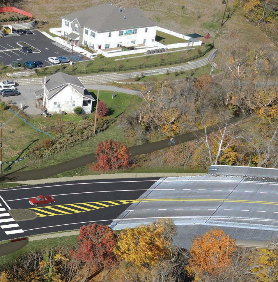
Trail Plan, Sections & Renderings
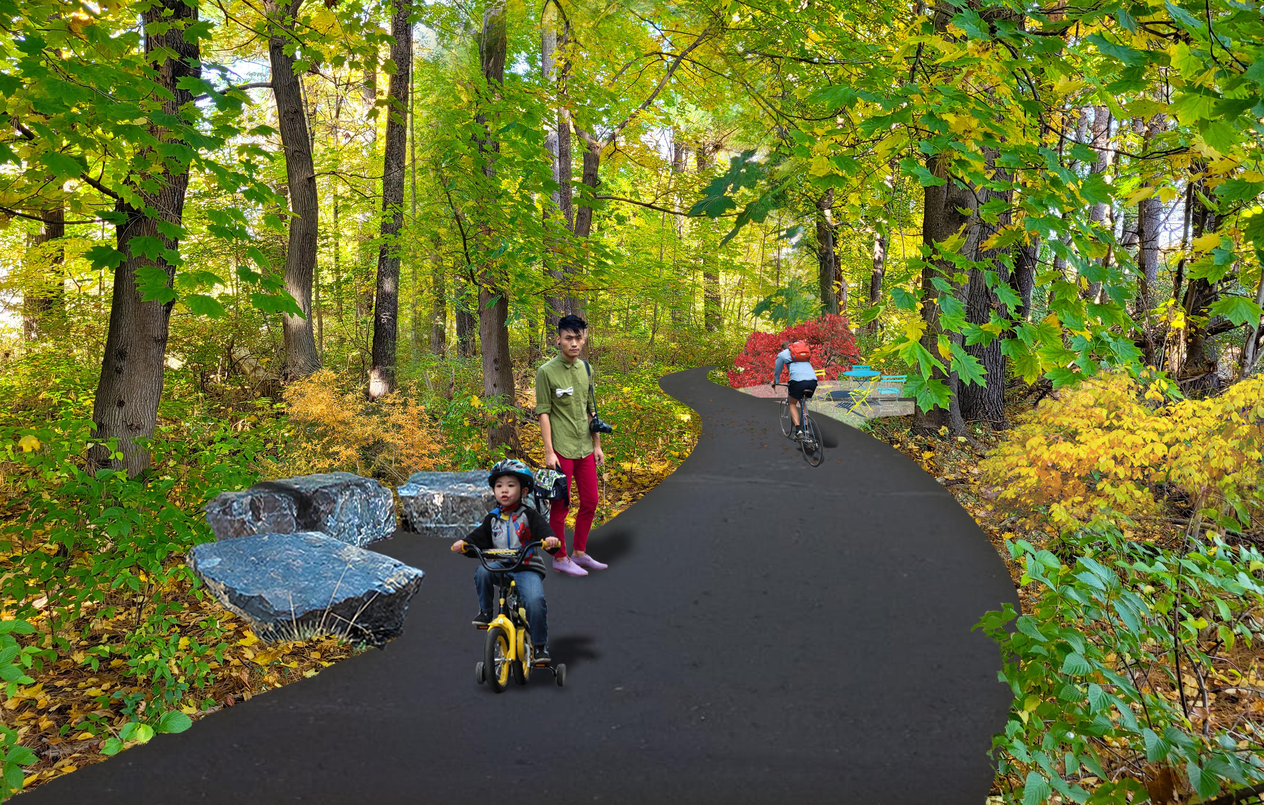
The following plans, sections and photorenderings illustrate the trail concepts along Moore Road. Please refer to the Appendix for a trail plan with proposed grading.
24 Moore Road Multimodal Trail & Linear Park Concept Study
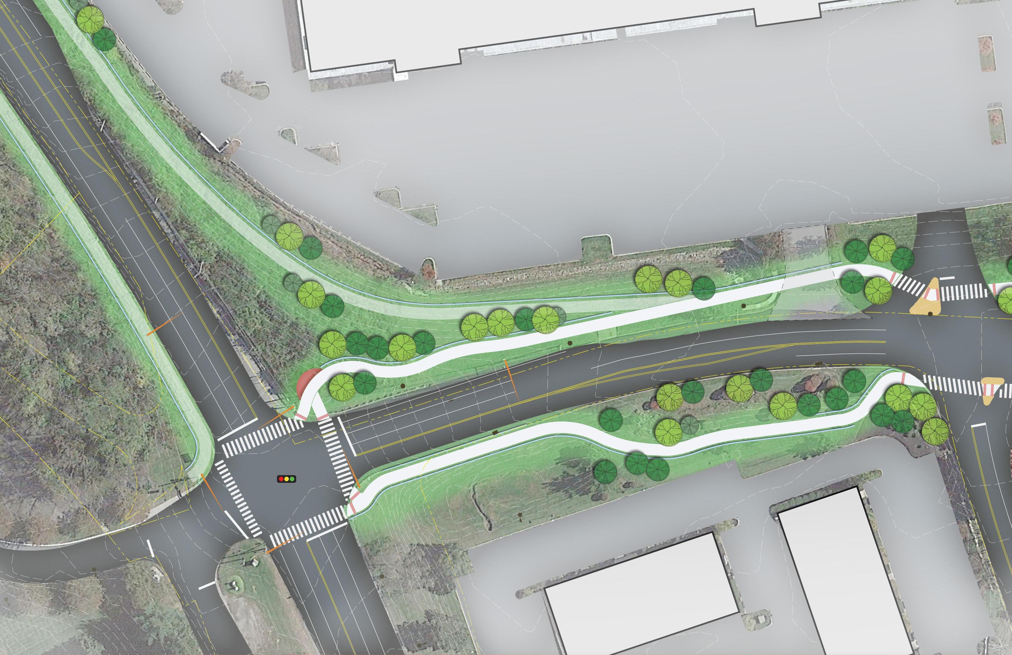
25 Moore Road Multimodal Trail & Linear Park Concept Study Existing Parking Lot Entrance Retaining Wall Crosswalk Crosswalk Relocated Curbline with realigned Moore Road Traffic Light Parklet Refuge Island Stormwater Basin to Remain ‘C’AlternateTrail WestSRT Connection Trail -‘E’Alternate PennDOT Sidewalk 9th Ave -23RT Valley RdForge Moore Rd 1000 West 9th Ave 1002 West 9th Ave 760 Moore Rd 10’ Wide Multimodal Trail Existing Utility Pole (typ.) Retaining Wall Moore Rd and 9th Ave Intersection Improvemets Moore Rd Multimodal Trail & Linear Park Trail Alignment Plan Sheet 1 of 4 01/09/2023 SC.21064 0 15’ 30' 60' North
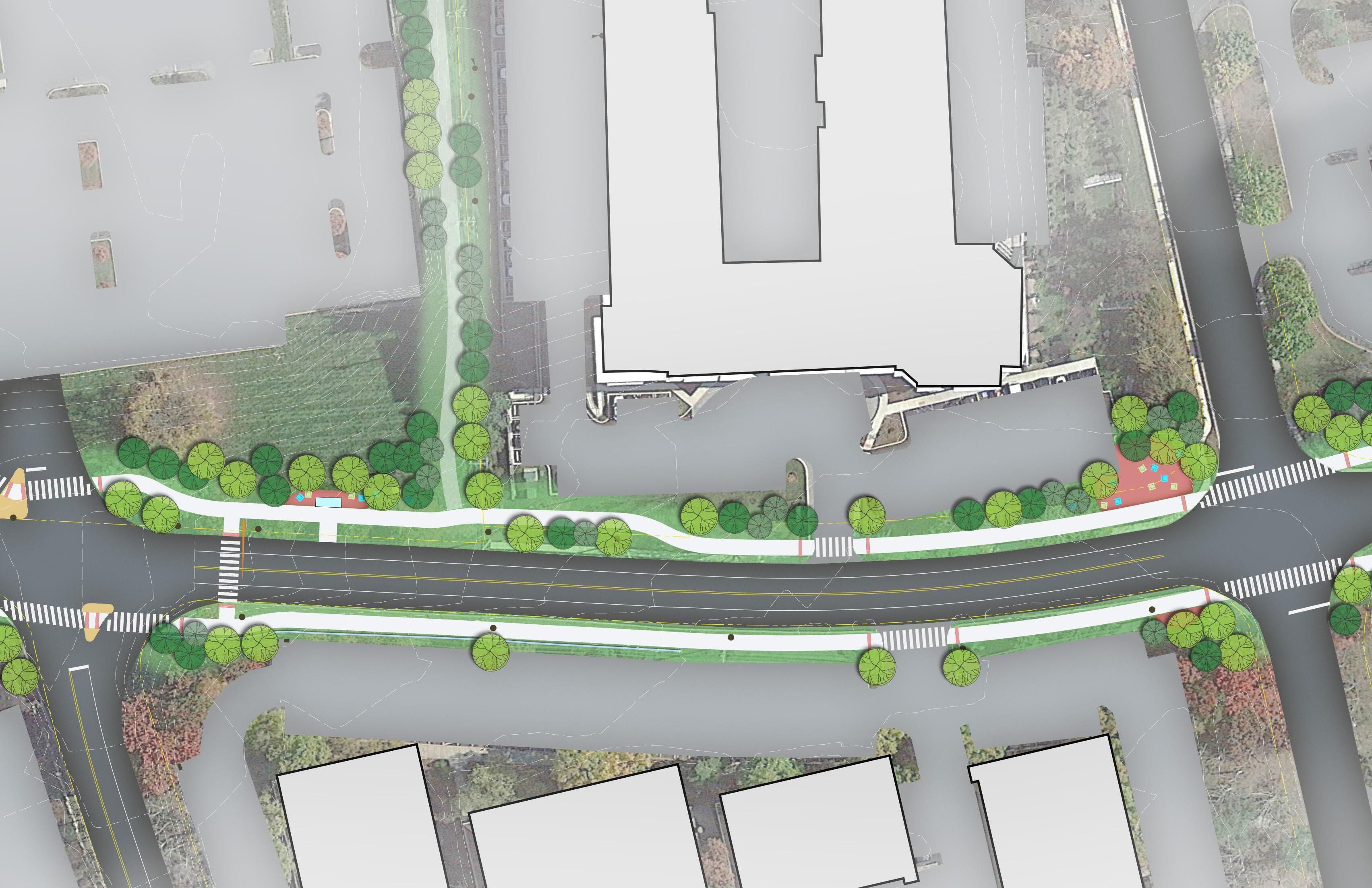
26 Moore Road Multimodal Trail & Linear Park Concept Study 8th Ave 9th Ave Proposed Parking Lot Entrance Aligned With 9th Avenue 1004 West 8th Ave 1006 West 8th Ave 1001 West 9th Ave 1003 West 9th Ave Moore Rd 760 Moore Rd 750 Moore Rd Trail Alternate ‘B’ Bus Shelter Crosswalk with Rapid Flashing Beacons Parklet Parklet Intersection Improvements Retaining Wall Existing Utility Pole (to be Relocated) 8th Ave. Intersection Improvements Crosswalk Moore Rd Multimodal Trail & Linear Park Trail Alignment Plan Sheet 2 of 4 01/09/2023 SC.21064 0 15’ 30' 60' North Existing Utility Pole (to be Relocated) Existing Utility Pole (to be Relocated) Existing Utility Pole (to be Relocated)
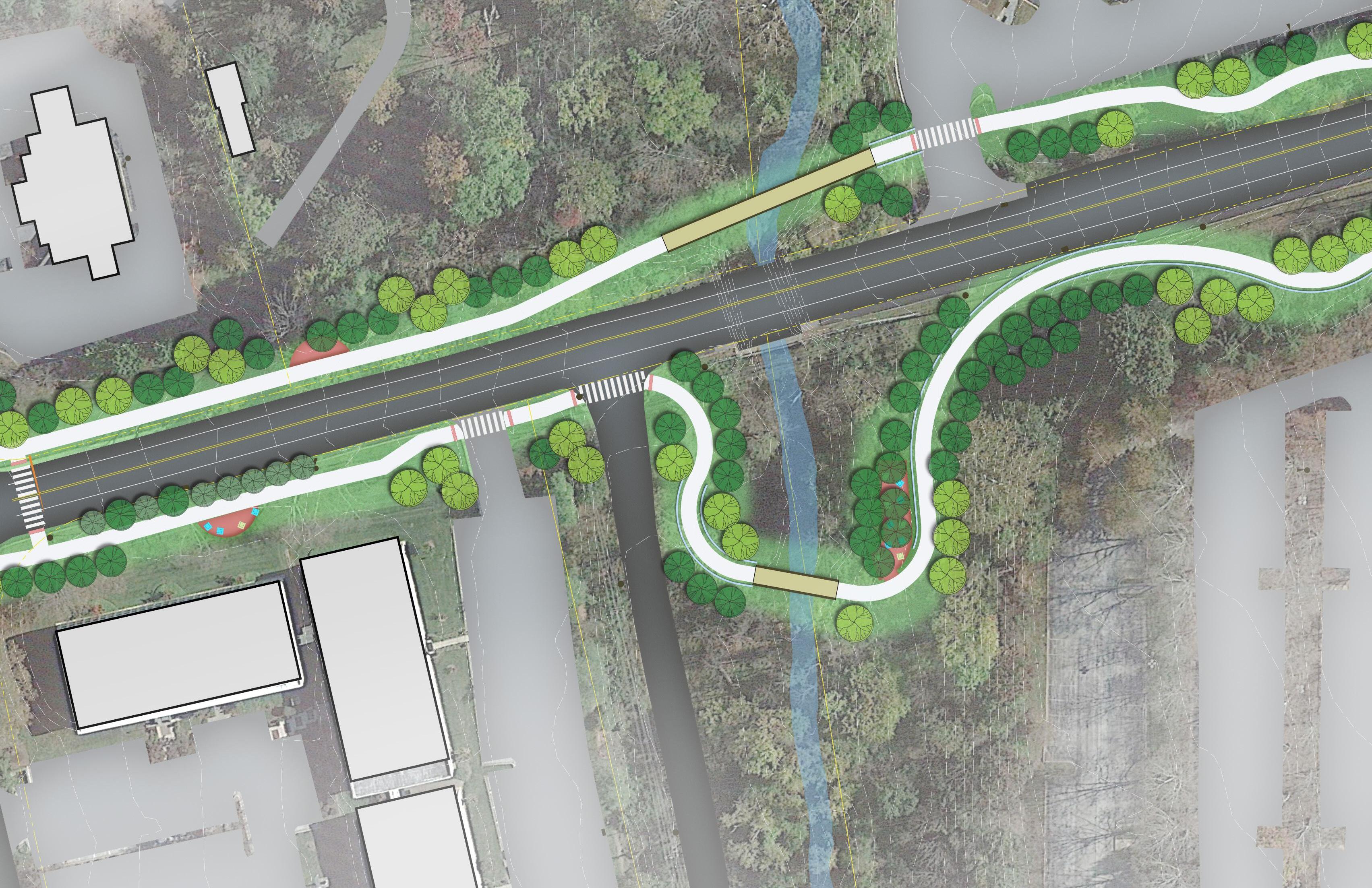
27 Moore Road Multimodal Trail & Linear Park Concept Study Pedestrian Bridge East 10’ Wide Multimodal Trail Moore Irwin House / Burgess Arboretum Parklet Pedestrian Bridge West Pedestrian Bridge East 720 Moore Rd 700 Moore Rd 681 Moore Rd 681 Moore Rd Trout Creek Moore Rd Rogers Rd 10’ Wide Multimodal Trail Parklet Parklet Parklet 10’ Wide Multimodal Trail Moore Irwin House / Burgess Arboretum Retaining Wall 1100 First Ave 1000-1020 First Ave Moore Rd Multimodal Trail & Linear Park Trail Alignment Plan Sheet 3 of 4 01/09/2023 SC.21064 0 15’ 30' 60' North Existing Utility Pole (to be Relocated) Crosswalk with Rapid Flashing Beacons
10’ Wide Multimodal Trail 10’ Wide Multimodal Trail 28 Moore Road Multimodal Trail & Linear Park Concept Study Parklet Future Overhead SEPTA Rail Existing Building / Future Location SEPTA Rail Station and Parking Garage First Ave Moore Rd 1100 First Ave 1000-1020 First Ave Parklet Retaining Wall Parklet Moore Rd Multimodal Trail & Linear Park Trail Alignment Plan Sheet 4 of 4 01/09/2023 SC.21064 0 15’ 30' 60' North E x i s t i n g 1ts Aev Tliar E x i s t i n g 1 s t Ave Tra i l


29 Moore Road Multimodal Trail & Linear Park Concept Study Section 1 - 1100 First Ave Section 2 - 1000 First Ave Section 3 - 1100 First Ave Section 4 - 1000 First Ave C1 17 16 15 14 12 11 10 13 9 8 7 6 4 5 Bridge Elevation West Bridge Elevation East 3 2 1


30 Moore Road Multimodal Trail & Linear Park Concept Study
7 - 720 Moore Rd
8 - 681 Moore Rd Section 5 - 1100 First Ave Section 6 - 700 Moore Rd C1 17 16 15 14 12 11 10 13 9 8 7 6 4 5 Bridge Elevation West Bridge Elevation East 3 2 1
Section
Section


31 Moore Road Multimodal Trail & Linear Park Concept Study Section 9 - 750 Moore Rd Section 10 - 1001 - 1004 West 8th Ave Section 11 - 1001 - 1004 West 8th Ave Section 12 - 1001 - 1004 West 8th Ave C1 17 16 15 14 12 11 10 13 9 8 7 6 4 5 Bridge Elevation West Bridge Elevation East 3 2 1


32 Moore Road Multimodal Trail & Linear Park Concept Study Section 13 - 760 Moore Rd Section 14 - 1001 - 1004 West 8th Ave Section 15 - 1000 West 9th Ave C1 17 16 15 14 12 11 10 13 9 8 7 6 4 5 Bridge Elevation West Bridge Elevation East 3 2 1


33 Moore Road Multimodal Trail & Linear Park Concept Study Section 16 - 1002 West 9th Ave Section 17 - 760 Moore Rd Section C1 - 760 Moore Rd C1 17 16 15 14 12 11 10 13 9 8 7 6 4 5 Bridge Elevation West Bridge Elevation East 3 2 1


Bridge Elevation East Bridge Elevation West 34 Moore Road Multimodal Trail & Linear Park Concept Study C1 17 16 15 14 12 11 10 13 9 8 7 6 4 5 Bridge Elevation West Bridge Elevation East 3 2 1

35 Moore Road Multimodal Trail & Linear Park Concept Study C1 17 16 15 14 12 11 10 13 9 8 7 6 4 5 Bridge Elevation West Bridge Elevation East 3 2 1


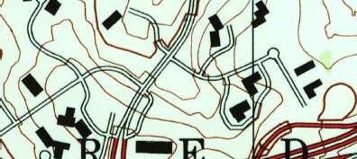
See Location Key on pg. 39 Moore Rd Valley Forge Rd Route 23 8th Avenue 9th Avenue 1st Avenue SRT West Rodgers Rd
Photo Rendering #1
Photo Rendering #2
Photo Rendering #3
36 Moore Road Multimodal Trail & Linear Park Concept Study
Photo Rendering #4 (See Chapter 4)
#2 - Looking East along Trout Creek See Location Key on pg. 39 Moore Rd W. Valley Forge Rd Route 23 8th Avenue 9th Avenue SRT West Rodgers Rd
Rendering
Photo Rendering #1 Photo Rendering #2
Photo Rendering #3
37
Photo Rendering (See Chapter
Moore Road Multimodal Trail & Linear Park Concept Study
Moore Rd W. Valley Forge Rd Route 23 8th Avenue 9th Avenue SRT West Rodgers Rd
Rendering #3 - Looking north at the intersection of Moore Road and 8th Avenue
Rendering
Photo
#1
Photo Rendering #2
Photo Rendering #3
38 Moore Road Multimodal Trail & Linear Park Concept Study
Photo Rendering #4 (See Chapter 4)


Moore Rd W. Valley Forge Rd Route 23 8th Avenue 9th Avenue 1st Avenue SRT West Rodgers Rd 8
P R
Photo Rendering #1
Rendering
Photo
#2
Photo Rendering #3
8hA
Rendering Locations 39 Moore Road Multimodal Trail & Linear Park Concept Study
Photo Rendering #4
(See Chapter 4)

CONNECTION TO SRTW 4

Alternate Connection to Schuylkill River Trail West


Valley Forge


First Ave Multi-Use


Trail & Linear Park Moore Rd Multi-Use Trail & Linear Park
North Gulph Rd Trail
National Historic Park Perkiomen Trail Chester Valley Trail
42 Moore Road Multimodal Trail & Linear Park Concept Study


KOP District Boundary Schuylkill River Trail West Crow Creek Trail Schuylkill River Trail Norristown Bridgeport King of Prussia Moore Rd Multimodal Trail & Linear Park Regional Trail Connections North 0’1,000’2,000’4,000’ Legend Existing Trail Proposed Trail 43 Moore Road Multimodal Trail & Linear Park Concept Study
Chapter 4: Connection to Schuylkill River Trail
West (SRTW)
Review of Montgomery County Circuit Priorities
As shown in the facing page, the development of the Moore Road Trail lends naturally to the discussion of how Moore Park can be connected to The Circuit trail system. Part of the scope of this Moore Road Trail & Linear Park Concept Study is an evaluation of how a connection could be made to the Schuylkill River Trail West. This connection would provide linkages to the Valley Forge National Historic Park (a comment frequently made during public forums on the SEPTA Transit Oriented Communities open houses) and the Perkiomen Trail as well. The topography surrounding the project area for the SRTW connection is the greatest challenge to many of the alternates evaluated.
Several preliminary alignments were evaluated for overall feasibility, practicality and preliminary costs based on available topographic data and development plans made available from PennDOT for the Valley Forge Road (SR 0023) realignment project. These costs did not include the costs of land/R.O.W. acquisition. Costs were applied to large scale site development items for alternate comparison purposes.
While all of the alternates evaluated propose an ultimate connection to the SRTW, the attached graphic shows the inter-relationship of many of the routes. The timing of development and re-development projects as well as the consideration by PennDOT of the trail connection within the SR 0023 re-alignment project provide many variables to consider.
The summary of cost estimates for the SRTW Trail Connection Alignment Alternatives is contained in the Appendix.
Alternative Routes with Cost Estimates:
Alternate A
An existing but abandoned Norfolk-Southern rail corridor exists within Moore Park between First Avenue and Valley Forge Road (SR 0023) which then crosses SR 0023 and proceeds northeast to its eventual connection with the SRTW. It is described as a 10’ wide corridor with a total length of approximately 6,500 feet between First Avenue and the SRTW. (Total area of approximately 1.5 acres.)
Trail Alternate ‘A’ proposes the acquisition of this corridor from Norfolk Southern for development of a premier trail amenity within Moore Park, serving not only Moore Road but all of Moore Park.
The connection requires the crossing of Valley Forge Road (SR 0023) at the Mancill Mill Road intersection. Currently, the re-design of SR 0023 and the replacement of the Trout Creek bridge is in PennDOT final design. PennDOT 6-0 has met with the project team to discuss how this vital trail connection can be accommodated within the final design document. (See Alternate ‘E’ and Valley Forge Road (SR 0023) & Mancill Mill Intersection descriptions below.)
Ownership and control of the corridor is not completely known. However, recent discussions with Norfolk Southern indicate their willingness to participate in the process to officially abandon the rail corridor, appraise its value and enter into an agreement with a controlling entity for the development of a trail.
Summary: The acquisition of the Norfolk Southern rail corridor which is Alternate ‘A’ represents the preferred alternative for a connection from the Moore Road Trail within Moore Park to the SRTW. The value of this acquisition to the entire Upper Merion community cannot be over-stated. The formal process for abandonment, appraisal and acquisition will require a significant amount of time; however the project team believes that grant applications for acquisition costs would
44 Moore Road Multimodal Trail & Linear Park Concept Study


SCHUYLKILLRIVERTRAILWEST A B C E D F1 F2 F3 VANDENBERG THIRD EIGHTH NINTH RIVERVIEW F I FTH YFORGERD VALLEYFORGE RD BEIDLERRD MOORE RD MANCILMILL TROUTCREEK CLAR LAR LARK LA CLA A B C E D F1 F2 F3 05001,000 250 Feet N Schuylkill River Trail Township Owned Property Trout Creek PennDOT Sidewalk RT23 PennDOT Redesign First Ave Trail Moore Ave Trail Parcels Trail Alternate ‘A’ Trail Alternate ‘B’ Trail Alternate ‘C’ Trail Alternate ‘D’ Trail Alternate ‘E’ Trail Alternate ‘F1’ Trail Alternate ‘F2’ Trail Alternate ‘F3’ Legend SRTW Trail Connection Alignment Alternatives 45 Moore Road Multimodal Trail & Linear Park Concept Study
be favorably viewed by funding agencies.
Length: 6,500 LF
Preliminary Construction Cost Estimate: $877,000
Alternate B
Trail Alternate ‘B’ proposes a connection to Trail Alternate ‘A’ (described above) along the southern boundary of the parcel at 760 Moore Road. Site security concerns were brought up in discussions with the owner of the 760 Moore Road parcel for this alternate. Additionally, the ‘B’ alignment is a utility corridor. Development of a trail along this boundary would require major utility pole relocations.
The total length of Alternate ‘B’ to its intersection with the rail corridor (Alternate ‘A’) is 1070’. The remaining route of Alternate ‘A’ to the Schuylkill River Trail is approximately 3,200’ for a total new trail length of approximately 4,300’.
Similar to Alternate ‘A’, the trail crossing of SR 0023 near the Mancill Mill intersection would require coordination with PennDOT.
Summary: Alternate ‘B’ is reliant on the acquisition of the Norfolk Southern rail corridor on the northern side of Trout Creek and the crossing of Valley Forge Road (SR 0023) for the connection to SRTW. The feasibility of utility relocations and site security concerns of the owner represent additional challenges with this alternate.
Length: 4,300 LF
Preliminary Cost Estimate: $754,000
Alternate C
Similar to Trail Alternate ‘B’, Alternate ‘C’ proposes a route that would connect with the Norfolk Southern rail corridor of Alternate ‘A’. Alternate ‘C’ proposes a direct junction with the Moore Road Trail on the 760 Moore Road property at an elevation that nearly matches the current driveway elevation. The trail is proposed to ‘cut into’ the slope and follow the northern edge of the parking lot to the eastern boundary of the
property near the SR 0023/ Mancill Mill Road intersection. Retaining walls are required for most of the trail length and final alignment will need to consider an existing drainageway on the toe of the slope.
Summary: Alternate ‘C’ is reliant on the acquisition of the Norfolk Southern rail corridor on the northern side of Trout Creek and the crossing of Valley Forge Road (SR 0023) for the connection to SRTW. Making the connection to SR 0023 with a route on one property represents a simpler process than a route through multiple properties. A trail connection of this type represents a ‘value added’ amenity to the property as an employee benefit. The overall comfort level of this Alternate for all trail users is higher than for the other alternates evaluated.
Length: 3,400 LF
Preliminary Construction Cost Estimate: $1,140,000
This is the preferred alternative.
Alternate D
Alternate ‘D’ represents an alternate that does not require the acquisition of the Norfolk Southern rail corridor. It does, however, represent the greatest constructability challenge due to steep slopes immediately north of Valley Forge Road (SR 0023). This alternate also requires the coordination of six (6) parcel owners abutting the alignment. The initial grade challenges requiring retaining walls are followed by more moderate grades to the SRTW terminus. This alignment assumes the useage of a privately developed trail connection to the SRTW for the final 350’.
Summary: While this alternate removes the Norfolk Southern rail corridor acquisition requirement, the engineering and constructability issues associated with rock removal, retaining wall construction and the maintenance and protection of traffic during construction on SR 0023 are significant challenges.
Length: 2,000 LF
46 Moore Road Multimodal Trail & Linear Park Concept Study
SRTWest


8th Av

ForgeRd
MooreRd Route23 9thAvenue
Photo Rendering #4
47 Moore Road Multimodal Trail & Linear Park Concept Study
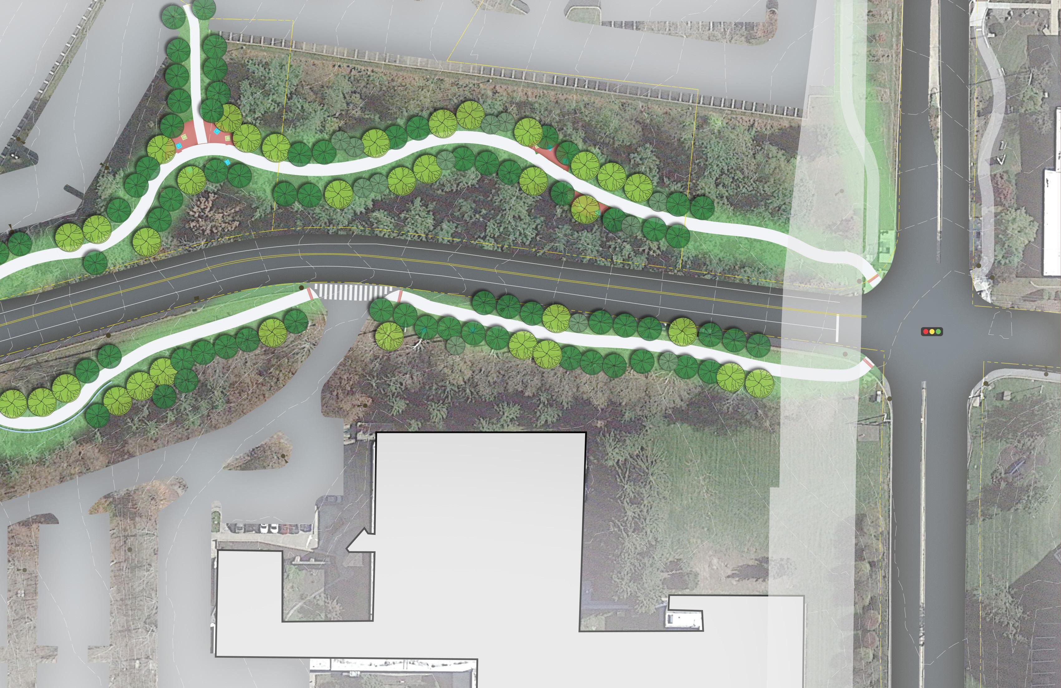
Preferred Trail Alignment for Connection to SRTW (Alternate C)

48 Moore Road Multimodal Trail & Linear Park Concept Study
Rendering #4 - Intersection of Mancil Mill Rd and relocated RT23


te23
49 Moore Road Multimodal Trail & Linear Park Concept Study
RT Photo Rendering #4
Preliminary Construction Cost Estimate:
$871,000
Alternate E
Design development drawings for the Valley Forge Road (SR 0023) re-alignment include the construction of a five-foot wide sidewalk on the north side of SR 0023 within the project area. During project discussions with PennDOT, the concept of widening the planned 5’ width to a trail width of 10’ was discussed. PennDOT was willing to consider this additional component of the project in final design. The 1,250 ‘ length of the planned sidewalk on the north side of SR 0023 represents significant rock and very steep slopes. Additional geotechnical engineering evaluations would be required to determine feasibility of the additional rock ‘cut’ to accommodate a trail width similar to the other alternates.
At the intersection of Mancill Mill Road and Valley Forge Road, Alternate ‘E’ could continue on the Norfolk Southern rail corridor alignment to the SRTW connection or travel north along the western side of Mancill Mill Road to a planned private property connection to the trail for the final 350’ (mentioned in Alternate ‘D’). Steep slopes along Mancill Mill Road will require retaining walls to allow for acceptable trail grades. Additional coordination with PennDOT for property acquisition needs and design would be required with this alternate.
Summary : The completion of a 5’ wide sidewalk in the PennDOT project provides a significant advance toward connection with the SRTW using public dollars already allocated for pedestrian connections. Trail grades along Mancill Mill Road do not provide the most comfortable experience for expected trail users. Alternate ‘E’ requires additional evaluation as a more ‘near-term’ connection to the SRTW..
Length: 1700 LF
Using Alternate ‘A’ (Norfolk Southern rail corridor)
for final connection: 3,000 LF
Using Mancill Mill Road ROW + Private Property Connection: 2,500 LF
Preliminary Construction Cost Estimate: $977,000
Alternate F1
Alternate ‘F1’ similarly offers an option for continuing the Alternate ‘C’ connection to the SRTW without requiring the acquisition of the rail corridor. This alternate assumes an Alternate ‘C’ alignment to the Mancill Mill Road/ Valley Forge Road (SR 0023) intersection. The crossing of SR 0023 would occur on the western side of Mancill Mill Road and proceed northward to the private property connection to the SRTW described in Alternate ‘E’.
Summary: Alternate ‘F1’ represents a high-cost option based on required retaining walls needed to achieve acceptable trail grades on both the southern and northern sides of Valley Forge Road (SR 0023).
Length: 3,000 LF
Preliminary Construction Cost Estimate: $1,240,000
Alternate F2
Like ‘F1’, Alternate ‘F2’ offers an option for continuing the Alternate ‘C’ connection to the SRTW without requiring the acquisition of the rail corridor. After using the Alternate ‘C’ alignment to the Mancill Mill Road intersection, ‘F2’ would be located within the previous State ROW of SR 0023 and then proceed north on Upper Merion Township-owned property toward the Mancill Mill Road private development connection to the SRTW. While trail property control may be simplified north of SR 0023 with the Township’s involvement, steep slopes and needed retaining walls again make engineering and constructability difficult.
Summary: Alternate ‘F2’ represents a high-cost option based on required retaining walls needed
50 Moore Road Multimodal Trail & Linear Park Concept Study
to achieve acceptable trail grades on both the southern and northern sides of Valley Forge Road (SR 0023).
Length: 3,300 LF
Preliminary Construction Cost Estimate: $1,360,000
Alternate F3
Alternate ‘F3’ was considered as an alternate option for using the former SR 0023 ROW alignment and Trout Creek crossing for a trail connection to SRTW on the eastern side of Trout Creek. After site investigation, it was the project team’s consensus that the geotechnical and hydrologic/ hydraulic factors impacting this alignment were too impactful to consider further.
Recommended Option for SRTW Connection
Trail Alternate ‘A’ represents the recommended SRTW connection to serve the Moore Park community.
Trail Alternate ‘C’ to ‘A’ is preferred option considering trail safety and comfort for users.
Trail Alternate ‘E’ to ‘F1’ represents an option that could be undertaken without the involvement of Norfolk Southern and makes maximum use of public dollars for pedestrian and trail connections.
Trail Crossing Considerations at the Valley Forge Road (SR 0023)/ Mancill Mill Road Intersection
As previously noted, PennDOT 6-0 is proceeding into final design of the re-alignment of SR 0023 and new Trout Creek crossing. A new residential apartment complex (Mancil Mill Townhomes) has recently been approved by Upper Merion Township and is located off of Mancill Mill Road north of the intersection and adjacent to the SRTW. The property at 760 Moore Road also has plans for re-development affecting SR 0023 access before PennDOT.
The timing of all of these projects and how a trail connection to the SRTW could connect Moore Road Trail, adds significant logistical planning, design and constructability issues to this intersection.
The project team assembled the most current plans prepared for these projects to consider how a trail crossing could be facilitated. A preliminary alignment of a trail crossing considering all of the plans noted above is included in this report. The following considerations are included on this plan:
• The intersection will be signalized in conjunction with the Piazza development projects and the temporary traffic signal proposed for the project will be made permanent with the PennDOT Route 0023 project.
• Valley Forge Road will be realigned in the area of Mancill Mill Road and Beidler Road in conjunction with the PennDOT Route 0023 Project.
• Along Valley Forge Road, a northbound left turn lane will be constructed on to Mancill Mill with the PennDOT Route 23 Project.
• On the north side of the intersection, a trail crossing will be constructed. The location on the north side of the intersection provides better sight distance along the horizontal curve. This location also would allow pedestrians to cross if a protected left turn phase is proposed for vehicles turning from Valley Forge Road to Mancill Mill Road.
• For the Valley Forge Road trail crossing, construct a refuge island in the gore area/left turn shadow.
• South of the intersection on the east side of Valley Forge Road construct a revised site access to the parcel currently owned by Amazon with consideration of the trail. An option with a splitter island/channelized right turn out is shown on the conceptual plan. This will reduce the crossing distances for trail users.
• Coordination with PennDOT and Upper Merion Township will be required.
51 Moore Road Multimodal Trail & Linear Park Concept Study

52 Moore Road Multimodal Trail & Linear Park Concept Study
IMPLEMENTATION 5

Preliminary Cost Estimates
The preliminary cost estimates for development of the Moore Road Trail and Linear Park were established based on unit costs from construction projects of similar scope and scale; they reflect prevailing wage rates that are required for publicly bid construction projects.
Cost summaries are presented here. Detailed costs estimates are contained in Appendix sections 1 and 2. Please refer to the Appendix for detailed costs estimates.
Cost estimates included costs for grading and retaining walls based on preliminary grading completed as part of this plan, along with utility pole relocation, drainage improvements, trail lighting, site amenities, and other necessary site costs. Plans with preliminary grading are contained in Appendix section 3.
This cost summary illustrates the western side of Moore Road, the eastern side of Moore Road (with intersection improvement costs) and for the preferred alternate trail alignment to reach the Schuylkill River Trail West.
Costs estimates include the following allowances that are in addition to improvement costs:
• 3% Mobilization
• 2% Erosion and Sedimentation Control
• 2% Stormwater management
• 10% Construction Contingency
• 15% Design & Engineering
Moore Road Trail (west side of road) $2,912,500.00
Moore Road Trail (east side of road) & Intersection Improvements $4,153,200.00
SRTW connector - Option C $1,140,000.00
Total estimated improvement costs: $8,204,700.00
Potential Funding Sources
There are many funding public sources that could be considered for Improvements for the Moore Road Multiuse Trail and Linear Park.
Pennsylvania Department of Conservation and Natural Resources (PA DCNR)
Community Conservation Partnership Program (C2P2)
The Community Recreation and Conservation Program through the PA DCNR Community Conservation Partnership Program (C2P2) provides funding to municipalities and authorized nonprofit organizations for recreation, park, trail and conservation projects. These include planning for feasibility studies, trail studies, conservation plans, master site development plans, and comprehensive recreation park and open space and greenway plans. In addition to planning efforts, the program provides funding for land acquisition for active or passive parks, trails and conservation purposes, and construction and rehabilitation of parks, trails, and recreation facilities. Most of these projects require a 50% match, which can include a combination of cash and/or non-cash values. Grant applications for the C2P2 program are accepted annually— usually in April. More information can be found at: http://www.dcnr.state.pa.us/brc/grants/ grantpolicies/index.htm
Land and Water Conservation Fund
(LWCF)
The Land and Water Conservation Fund (LWCF) State Assistance Program, established in 1965, is a federal source of funding distributed to all states by the U.S. Department of the Interior’s National Park Service.
The program provides matching grants for the acquisition and development of public outdoor recreation areas and facilities. DCNR administers the LWCF Program for Pennsylvania.
54 Moore Road Multimodal Trail & Linear Park Concept Study
More info at: https://www.dcnr.pa.gov/ Communities/Grants/Pages/default.aspx
Department of Community and Economic Development (DCED)
Greenways, Trails, and Recreation Program (GTRP)
The Greenways, Trails, and Recreation Program (GTRP) provides funding for: public park and recreation area projects, greenway and trail projects, and river or creek conservation projects. The program requires a 15% local cash match of the total project cost and projects must not exceed $250,000. Applications to DCED are typically due in late May.
More information can be found at: http://www. newpa.com/programs/greenways-trails-andrecreation-program-gtrp/
Transportation Alternatives Program (TAP)
The Transportation Alternatives Program (TAP) was started in 2012 by Congress as part of the Moving Ahead for Progress in the 21st Century Act (MAP-21). The program funds a range of alternative transportation projects that include pedestrian and bicycle facilities, public transportation, safe routes to school, historic transportation structures, environmental mitigation, and trail projects. All funding money is administered by PennDOT and strictly used for the construction of projects, but not the planning or design.
Recently Transportation Enhancements (TE), Safe Routes to School (SRTS), Scenic Byways (Byways), and the Recreational Trails Program (RTP) have all been consolidated into the Transportation Alternatives Program (TAP). Projects must have a construction cost of at least $50,000, but no more than $1,000,000.
Additional information is available online at: http://www.penndot.gov/ProjectAndPrograms/ Planning/Pages/Transportation-AlternativesProgram.aspx
Multimodal Transportation Fund (MTF)
The DCED Multimodal Transportation Fund provides grants to encourage economic development and ensure that a safe and reliable system of transportation is available to the residents of the commonwealth.
Applications for the Multimodal Transportation Fund are accepted annually between March 1 and July 31. All applications and all required supplemental information must be electronically submitted by close of business on July 31st for hopeful consideration at the November CFA board meeting.
Funds may be used for the development, rehabilitation, and enhancement of transportation assets to existing communities, streetscape, lighting, sidewalk enhancement, pedestrian safety, connectivity of transportation assets and transit-oriented development. Grants are available for projects with a total cost of $100,000 or more. Grants shall not exceed $3,000,000 for any project. https://dced.pa.gov/programs/ multimodal-transportation-fund/
PennDOT Multimodal Fund
PennDOT’s multimodal program seeks to improve freight and passenger mobility options, maximize benefits of capital investment in all modes of transportation, promote safety on all modes of transportation, use transportation improvements to spur economic development, and improve the effectiveness and efficiency of the transportation network. Projects eligible for funding include:
• projects related to streetscape, sidewalk enhancement, pedestrian safety
• transit oriented development projects
• projects related to connectivity improvements
• projects that coordinate local land use with transportation assets to enhance existing communities
The PennDOT Multimodal fund is separate from
55 Moore Road Multimodal Trail & Linear Park Concept Study
the Multimodal Transportation Fund administered by the Pennsylvania DCED. A local match of at least 30% of the non-federal project costs is required. More information on the program can be found at: http://www.penndot.gov/ ProjectAndPrograms/MultimodalProgram/Pages/ default.aspx
PennVEST (Pennsylvania Infrastructure Investment Authority)
PennVEST offers both grants and low interest loans for projects that help to manage stormwater and improve water quality. Several of the proposed recommendations for the greenways will be of interest to PennVEST since they include stormwater BMPs.
More information on the grants and loans available through PennVEST can be found at: http://www.pennvest.pa.gov/Information/ Funding-Programs/Pages/default.aspx
Federal Highway Administration
CMAQ Congestion Mitigation and Air Quality Improvement Program
DVRPC’s Competitive Congestion Mitigation and Air Quality Improvement Program (CMAQ) seeks to fund transportation projects that will improve air quality and reduce traffic congestion. CMAQ eligible projects will demonstrably reduce air pollution emissions and help the region meet the federal health-based air quality standards. Projects must result in a reduction of emissions related to transportation, congestion reduction, and for the public good (i.e., not benefiting one private entity over another) to meet the requirements of the Clean Art Act (CAA) and its amendments. General eligible project categories include pedestrian and bicycle projects, transit improvement programs, congestion reduction and traffic flow improvements, and funding of transportation demand management programs, among others. Please refer to the latest CMAQ Guidance and FHWA web links below for further details. The CMAQ Program is not a grant program. The sponsor does not
56 Moore Road Multimodal Trail & Linear Park Concept Study
receive grant funds to start the project; rather, the sponsor is reimbursed for costs incurred after receiving funding authorization for the project and a notice to proceed. Costs incurred prior to project selection and notice to proceed are not reimbursed. All awarded projects must authorize federal CMAQ funds by the deadline stated in their award letters. .
\FEDERAL\DOT - US Department of Transportation\FHWA - Federal Highway Administration
US Department of Trasnportation
Safe Streets and Roads for All Grant Program
(SS4A)
Creates a new competitive grant program for “Vision Zero’’ grants. Elements of the plan include goals and timeline for eliminating fatalities and serious injuries; analyses of crash location and community input; a data driven approach to identify projects or strategies; and mechanisms for evaluating outcomes and effectiveness. Eligible projects include development of the plan itself; planning, design, and development activities to execute on projects and strategies; or to carry out the projects or strategies themselves. Projects will be chosen based on whether the proposed project: is likely to significantly reduce or eliminate transportation-related fatalities and serious injuries involving various road users, including pedestrians, cyclists, public transportation users, motorists, and commercial operators, within the proposed time frame; demonstrates engagement with a variety of public and private stakeholders; seeks to adopt innovative technologies or strategies to promote safety; employs low-cost, high-impact strategies that improve safety over a wider geographical area; ensures, or will ensure, equitable investment in the safety needs of underserved communities in preventing transportation-related fatalities and injuries; includes evidence-based projects or strategies; and achieves such other conditions as the U.S. DOT Secretary considers to be necessary. Federal share 80%. https://www. transportation.gov/bipartisan-infrastructurelaw/upcoming-notice-funding-opportunity-
RAISE - Rebuilding American Infrastructure with Sustainability and Equity Program
RAISE Grants are for capital investments in surface transportation that will have a significant local or regional impact. The Department seeks to fund projects under the RAISE Program that reduce greenhouse gas emissions and are designed with specific elements to address climate change impacts. Specifically, the Department is looking to award projects that align with the President’s greenhouse gas reduction goals, promote energy efficiency, support fiscally responsible land use and transportation efficient design, increase use of lower-carbon travel modes such as transit and active transportation, incorporate electrification or zero emission vehicle infrastructure, increase climate resilience, support domestic manufacturing, incorporate lower-carbon pavement and construction materials, reduce pollution, and recycle or redevelop brownfield sites. The Department also seeks to award projects under the RAISE Program that address environmental justice, particularly for communities that disproportionally experience climate changerelated consequences. The minimum RAISE grant award is $5 million in urban areas and $1 million in rural areas. RAISE is a reimbursable program. https://www.transportation.gov/RAISEgrants/ raise-application-faqs
The Delaware Valley Regional Planning Commission (DVRPC) Regional Trails Program
DVRPC’s Regional Trails Program provides planning assistance and financial support to trail developers, counties, municipalities, and nonprofit organizations to complete the Circuit, Greater Philadelphia’s 800-plus-mile network of multi-use trails. With financial support from the William Penn Foundation, the Regional Trails Program has provided $22 million in funding to over 120 trail planning, design, and construction
57 Moore Road Multimodal Trail & Linear Park Concept Study
announcements-2022
projects to date. The focus of this program are Circuit trails and trails than connect to the Circuit system. This project’s proposed connection to the Schuylkill River Trail West could be of interest and is relevant to this funding program.
https://www.dvrpc.org/trails/ regionaltrailsprogram/
William Penn Foundation Funding for Circuit Trails
The Circuit Trails are designated as official transportation infrastructure in our region, therefore grants for trail planning, design and construction are funded through the Delaware Valley Regional Planning Commission (DVRPC), the region’s metropolitan planning organization. The William Penn Foundation (WPF) has provided $33 million in capital funding for the Circuit Trails through DVRPC since 2010. Additionally, WPF funds an array of trail- and conservationfocused NGOs, including land trusts and
statewide organizations, to support the trails through advocacy, education, outreach, and technical assistance. WPF also funds the Rails to Trails Conservancy to promote the network through communications and marketing, which has helped to establish a strong identity for the Circuit Trails. Not all members of the Circuit Trails Coalition receive direct funding from the Foundation, however WPF support of the collective whole is intended to provide added value to every organization involved. It may be worthwhile to approach the WPF for funding for the connection to the SRTW, since there are significant private sector businesses in Moore Park. This trail initiative and the possible involvement of the WPF has some business involvement opportunities for the trail and the greater trail movement in general.
https://williampennfoundation.org/circuit-trails
58 Moore Road Multimodal Trail & Linear Park Concept Study
Montgomery County 2040 Implementation Grant Program
The MontCo 2040 Implementation Grant Program is intended to assist municipalities in making targeted physical improvements that achieve real progress toward the goals of the plan. The program focuses on supporting local projects that specifically further the goals of the county comprehensive plan and the plan’s themes of Connected Communities, Sustainable Places, and Vibrant Economy.
While the program is open to a wide array of projects fitting within the comprehensive plan, specific Focus Categories that highlight recent county planning initiatives are announced prior to each funding year. Projects that fall under a Focus Category receive greater consideration during the application review. Grant amounts are available between $10,000 and $200,000, but a realistic average award is around $100,000. The grant program has awarded over 12.7 million to 113 grants in 51 municipalities of Montgomery County. The 2023 round of grants is due March 1.
For further information on the grant program, contact Scott France at 610-278-3747.
https://www.montcopa.org/2453/Montco-2040Implementation-Grant-Program
Legislative Funding
State and federal elected officials can sometimes include items into legislation for worthy projects in their districts. A conversation between county and municipal officials and legislators is the way to begin this process. This type of funding should be targeted toward capital improvement projects.
59 Moore Road Multimodal Trail & Linear Park Concept Study
Recommended Stakeholder Roles and Responsibilities
King of Prussia District
As the primary catalyst and champion of this project, he King of Prussia District should promote the project through its extensive media and stakeholder network in order to build momentum and support in the community for implementation.
As a non-profit, the King of Prussia District can apply for funding from various agencies and can also partner with Upper Merion Township and Montgomery County to advance project funding for construction. While both the Township and County could provide funding from their own budgets as matches to funds obtained by the District they could also act as the grant applicant for phases of this project since each government entity has substantial interest in seeing the completion of the project.
Upper Merion Township
As the host municipality for the Moore Road project (and the King of Prussia District) the Township is a critical partner to the King of Prussia District. The Township can assist in the completion of the Trail and Linear Park in a number of ways. These include:
• Act as grant funding applicant for trail segments
• Offer strong support to the District on funding applications submitted by the District, including possible partial cash matches to a trail/park segment. This may be especially relevant in the vicinity of the arboretum which will deliver visitors to this facility via the trail.
• Work with the District during likely negotiations by the District with affected property owners on the Moore Road Corridor.
• Take an aggressive lead in the negotiation with Norfolk Southern RR to obtain the abandoned rail ROW that runs from the SRTW in the north to First Avenue to the south.
• As trail corridor properties submit land development applications for redevelopment, work with property owners to incorporate
planned trail and parklet improvements into their sites as appropriate.
Montgomery County
The Moore Road Multipurpose Trail and Linear Park could be one of several important ‘successes’ and serve as an example for the County’s ambitious Walk Montco initiative and we suggest that the County collaborates with both the District and the Township towards its implementation. Additionally, the County could provide partial funding for one or more phases through its Montco 2040 grant program. If it is not appropriate to fund the District (as a nonprofit) funds could flow through the Township.
The County Commissioners can also use their political good will by strongly supporting the District’s grant funding application through both letters of support and personally reaching out to funding agencies on behalf of the District.
Moore Road Property Owners
Property owners along the Moore Road Multiuse Trail Corridor can assist the District by considering donating the necessary trail easements to the King of Prussia District (vs. negotiating a fee for easement purchase). Property owners can also be advocates for the project with adjacent or nearby owners touting the benefits of the trail – safety, aesthetics, potential health benefits (from using the trail), etc.
SEPTA, as a major (future) property owner can assist by incorporating the trail / parklet improvements into the planning of their site as plans for the rail station move forward.
60 Moore Road Multimodal Trail & Linear Park Concept Study
Project Phasing
Moore Road Multipurpose Trail and Linear Park
Project phasing for the Moore Road Multipurpose Trail and Linear Park will depend on several factors including the ability of the District to obtain necessary easements from property owners and the success of grant applications / project funding.
Based on the constraints and opportunities presented by the site topography and layout, it is recommended that the east side of the Moore Road Multipurpose Trail and Linear Park be developed first. This is based on less challenging topographic conditions, fewer properties, and initial feedback from property owners. The priorities of this project indicate that one entire side of the Moore Road trail be completed first to ensure a safe pedestrian/ bike link along the entire length of the road.
Intersection improvements, roadway crosswalk, rapid flashing beacons and other motor vehicle / pedestrian conflict safety-enhancement measures are likely to be implemented over time, sometimes coinciding with adjacent parcel redevelopment. Some of these improvements might be prioritized if, for example, an unforeseen obstacle is encountered on the east side of Moore Road and it become necessary to create a safe crossing of the road to continue along the west side of the road.
The development of the proposed SEPTA train station at the southern terminus of Moore Road will be a catalyst to the development of the trail/ linear park. The introduction of large amounts of transit riders to the area will highlight the urgent need for safe ped/ bike connections along Moore Road.
Connection to the Schuylkill River Trail West
The first segments of this connection will occur with the completion of the Valley Forge Road (SR0023) realignment, the construction of the
Mancill Mill Road intersection improvements and the construction of new sidewalks along SR0023. The Township has committed to building sidewalks along Mancill Mill Road north from the intersection with SR 0023 to take pedestrians at least partway to the Schuylkill River Trail West. Preferred Trail Alignment ‘C’ (from the Moore Road Trail) through 760 Moore Road will likely occur when and if that site is redeveloped.
The adaptive reuse of the former rail alignment owned by Norfolk Southern Railroad is a key in the connection to the SRTW. This study recommends that Upper Merion Township take the lead in obtaining the former rail alignment and developing the trail.
This report suggests a goal that the completed trail and park improvement be accomplished by 2030.
61 Moore Road Multimodal Trail & Linear Park Concept Study

APPENDIX 6

63 Moore Road Multimodal Trail & Linear Park Concept Study
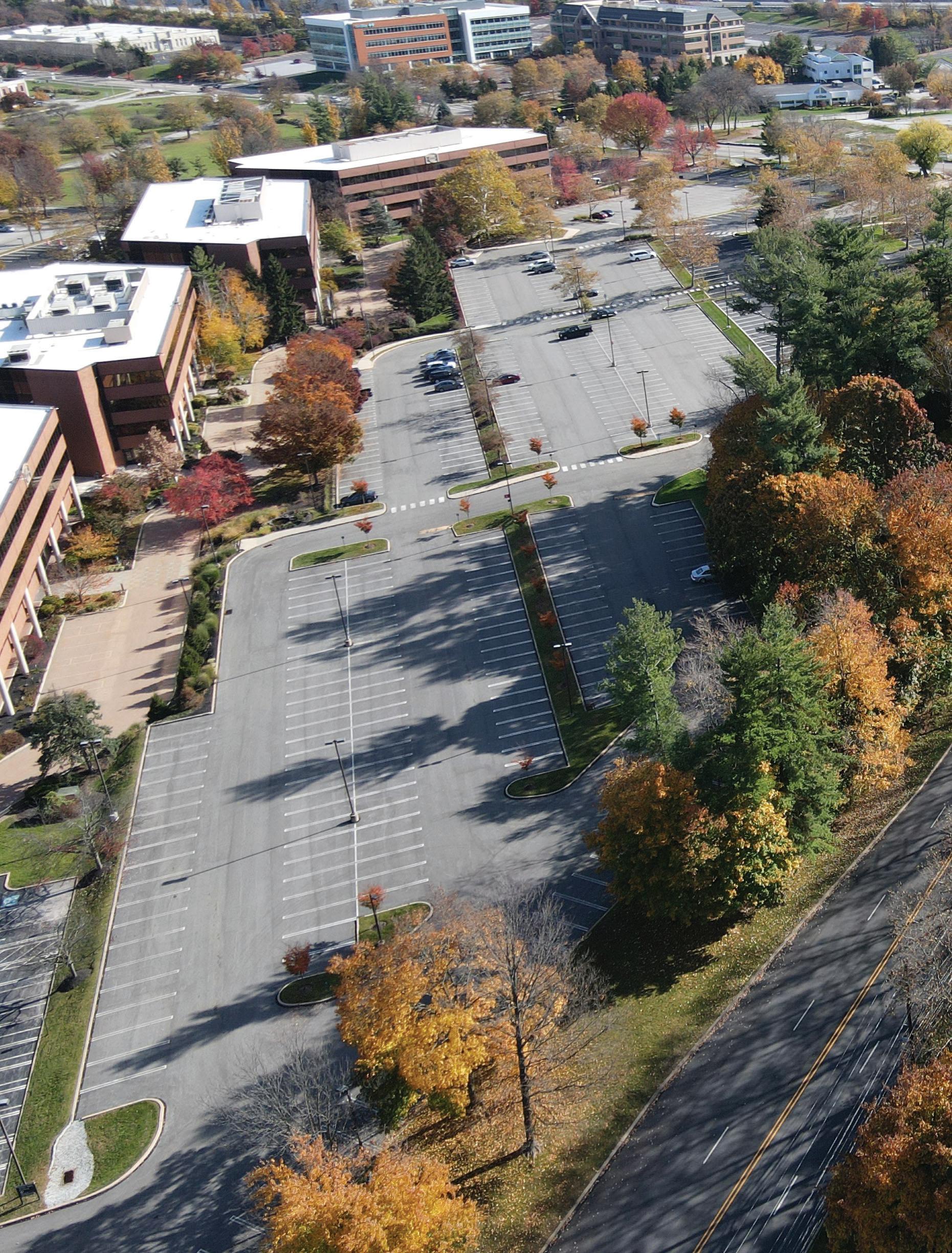
64 Moore Road Multimodal Trail & Linear Park Concept Study
Appendix Table of Contents


1. Preliminary Cost Estimate: Moore Road
2. Preliminary Cost Estimate: Intersection and Roadway Improvements
3. Preliminary Cost Estimate: Alternate Connections to SRTW
4. Moore Road Trail: Preliminary Concept Plans (CAD) with proposed grading
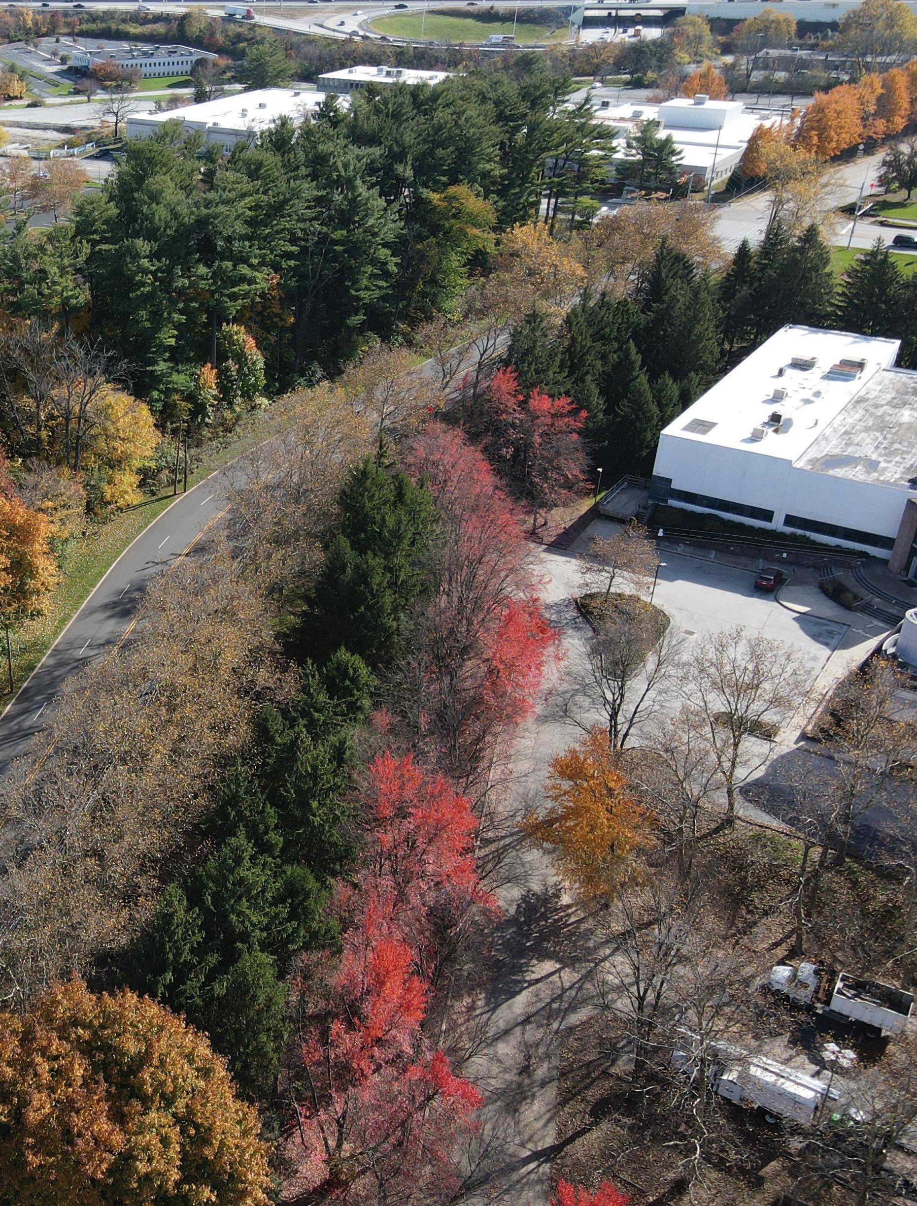
5. Intersection Analysis: Valley Forge Rd, 9th Ave, 8th Ave
6. Intersection Analysis: 720 Moore Rd Driveway, Mancil Mill Rd
7. Moore Road Trail: Intersection Turning Radius Analysis
8. Sample ConTechTM Pedestrian Bridge Simulations
9. King of Prussia Rail Station Location Map
10. The Circuit Trails 11. SEPTA Bus Route 125 Moore Road Route Map
12. USGS PA Valley Forge Quadrangle

65 Moore Road Multimodal Trail & Linear Park Concept Study


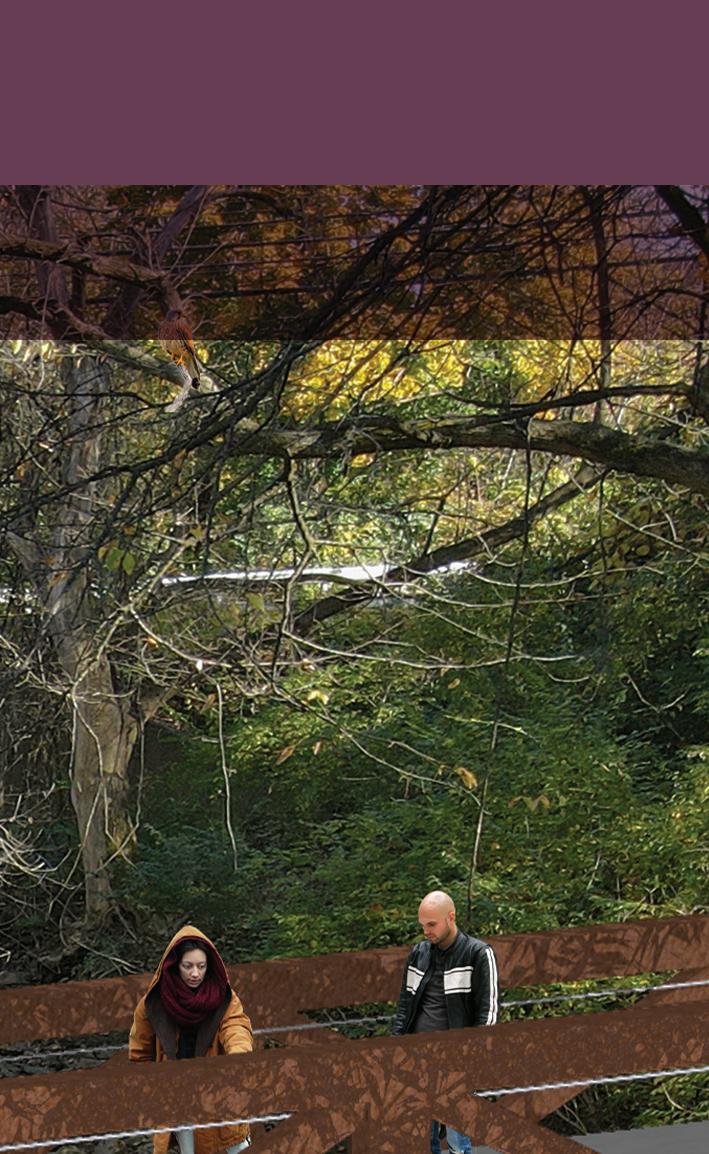
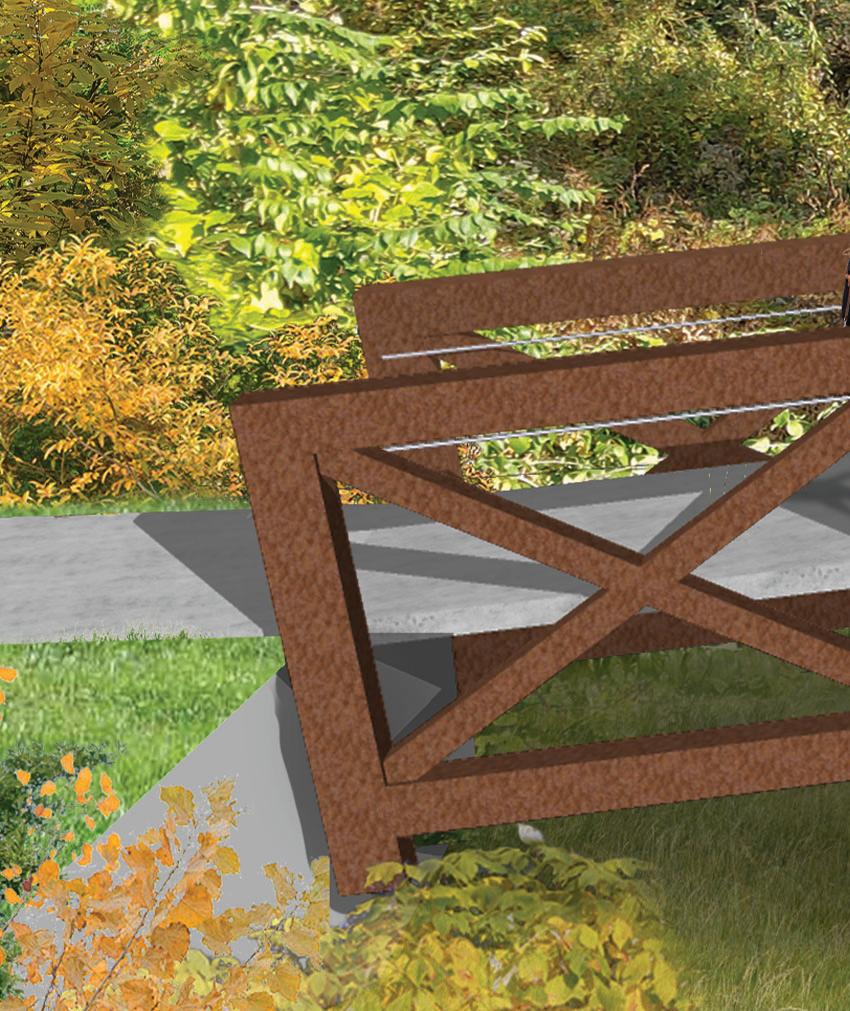
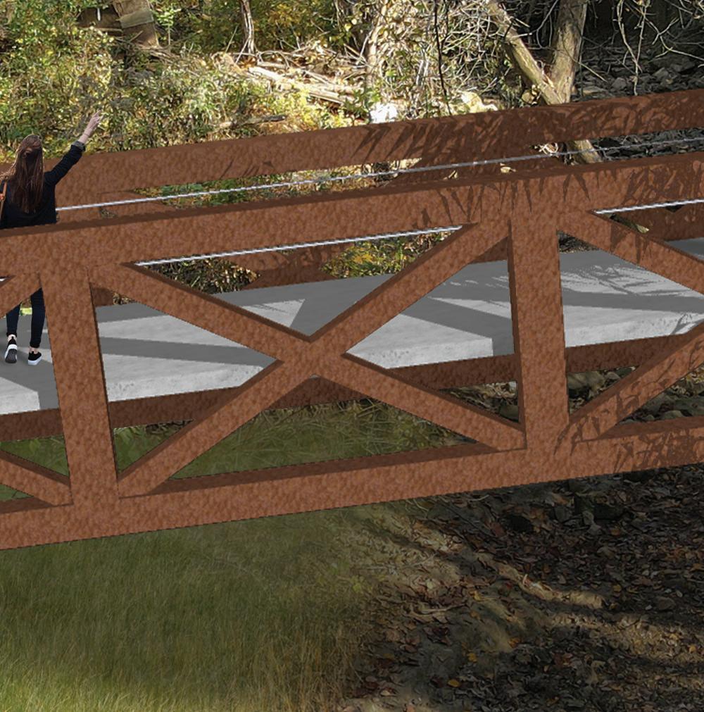
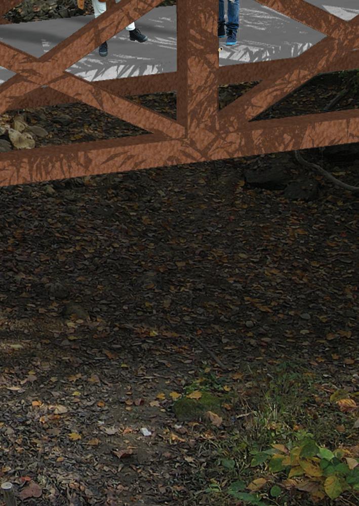


66 Moore Road Multimodal Trail & Linear Park Concept Study Moo Mo M o oo o re R Roa oa o dM d Mult ulltimo immo imoddadal al Tr Traail ail il i & L Lin n in i Li ea ear ar Pa Parrk k Con Concep ceep cept S tS t Stutud tududy
1. Preliminary Cost Estimate: Moore Road Trail
Moore Road Multimodal Trail Summary

Trail Section West
Trail Section East + Intersection/ Roadway Improvements
Moore Road Multi-Modal Trail Master Plan Probable Cost of Development 1/10/2023 SC#:21064.10 Trail Section West2,912,500 $ Total Proposed Site Improvements2,206,200 $ Mobilization, E&S, Stormwater Allowances154,600 $ Construction Contingency (10%)220,700 $ Design & Engineering (15%)331,000 $ Trail Section East + Intersection/Roadway Improvements 4,153,200 $ Total Proposed Site Improvements3,146,100 $ Mobilization, E&S, Stormwater Allowances220,400 $ Construction Contingency (10%)314,700 $ Design & Engineering (15%)472,000 $ Total Estimated Project Costs 7,065,700 $ Moore Road Multi-Modal Trail Summary Summary 1 of 1
Moore Road Multi-Modal Trail Probable Cost of Development 1/10/2023 SC#:21064.10 Trail Section West Total Proposed Site Improvements2,206,200 $ Mobilization (3%) 66,200 $ Erosion and Sedimentation Control (2%) 44,200 $ Stormw ater BMPs (2%) 44,200 $ Construction Contingency (10%) 220,700 $ Design & Engineering (15%) 331,000 $ Total Estimated Project Costs2,912,500 $ Item Description Estimated UnitTotal Item QuantityPriceAmount Section 1-2 Demolition & Site Preparation 18,500 $ 1 Tree Removal 8EA2,000.00 $ 16,000 $ 2 Clear/ Grub/ Brush Removal 1,000SY 2.50 $ 2,500 $ Trail Pavements & Walls 60,400 $ 1 Trail Segment 400LF 68.40 $ 27,360 $ 2 Curb Ramp 2EA5,250.00 $ 10,500 $ 3 Pedestrian Crosswalk 500SF 45.00 $ 22,500 $ Trail/Linear Park Amenities 56,000 $ 1 Light Fixture/Pole/ Electric Service 8EA3,500.00 $ 28,000 $ 2 Bus Shelter 1EA18,620.00 $ 18,620 $ 3 Trail Signage 2EA385.00 $ 770 $ 4 Bench/ Trash Receptacle 1EA8,540.00 $ 8,540 $ Plantings 10,400 $ 1 Tree Plantings 8EA430.00 $ 3,440 $ 2 Lawn Establishment 4,000SF 1.00 $ 4,000 $ 3 Bed Plantings 400SF 7.30 $ 2,920 $ Total 145,300 $ Section 2-3 Demolition & Site Preparation 26,500 $ 1 Tree Removal 12EA 2,000.00 $ 24,000 $ 2 Clear/Grub/ Brush Removal 1,000SY 2.50 $ 2,500 $ Trail Pavements & Walls 188,100 $ 1Trail Segment 797LF 68.40 $ 54,515 $ 2 Wall Segment 0-3' 180LF261.00 $ 46,980 $ 3 Wall Segment 3-6' 205LF422.00 $ 86,510 $ 4 Curb Ramp 0EA5,250.00 $ - $ Trail/Linear Park Amenities 135,000 $ 1Light Fixture/Pole/ Electric Service 16EA6,200.00 $ 98,828 $ 2 Bench/Trash Receptacle 1EA8,540.00 $ 8,540 $ 3 Trail Signage 4EA385.00 $ 1,540 $ 4 Park-let 1EA26,000.00 $ 26,000 $ Plantings 20,800 $ 1 Tree Plantings 16EA430.00 $ 6,880 $ Moore Rd West 1 of 4
FOR SECTION LOCATIONS, SEE APPENDIX SECTION 4-GRADING PLAN
Moore Road Multi-Modal Trail Probable Cost of Development 1/10/2023 SC#:21064.10 Item Description Estimated UnitTotal Item QuantityPriceAmount 2Lawn Establishment 8,000SF 1.00 $ 8,000 $ 3 Bed Plantings 800SF 7.30 $ 5,840 $ Total 370,400 $ Section 3-4 Pedestrian Bridge-West Demolition & Site Preparation 18,300 $ 1 Tree Removal 8EA 2,000.00 $ 16,000 $ 2 Clear/Grub/ Brush Removal 900SY 2.50 $ 2,250 $ Trail Pavements & Walls 600,000 $ 1 Contech Ped. Bridge (L=50 LF; Width=10 clear) 750SF800.00 $ 600,000 $ Trail/Linear Park Amenities 41,600 $ 1 Light Fixture/Pole/ Electric Service 1EA6,200.00 $ 6,200 $ 2 Bench/Trash Receptacle 1EA8,540.00 $ 8,540 $ 3 Trail Signage 2EA385.00 $ 770 $ 4 Park-let 1EA26,000.00 $ 26,000 $ Plantings 3,500 $ 1 Tree Plantings 8EA430.00 $ 3,440 $ 2 Lawn Establishment SF 1.00 $ - $ 3 Bed Plantings SF 7.30 $ - $ Total 663,400 $ Section 4-5 Demolition & Site Preparation 47,800 $ 1 Utility Pole Relocation 1EA15,000.00 $ 15,000 $ 2 Existing Wall Relocation 1EA15,000.00 $ 15,000 $ 3 Tree Removal 6EA2,000.00 $ 12,000 $ 4 Clear/Grub/ Brush Removal 2,300SY 2.50 $ 5,750 $ Trail Pavements & Walls 44,400 $ 1 Trail Segment 393LF 68.40 $ 26,881 $ 2 Curb Ramp 3EA5,250.00 $ 15,750 $ 3 Pedestrian Crosswalk 39 LF 45.00 $ 1,755 $ Trail/Linear Park Amenities 58,100 $ 1 Light Fixture/Pole/ Electric Service 8EA6,200.00 $ 48,732 $ 2 Bench/Trash Receptacle 1EA8,540.00 $ 8,540 $ 3 Trail Signage 2EA385.00 $ 770 $ Plantings 16,900 $ 1 Tree Plantings 14EA430.00 $ 6,020 $ 2 Lawn Establishment 8,000SF 1.00 $ 8,000 $ 3 Bed Plantings 393SF 7.30 $ 2,869 $ Total 167,200 $
Moore Rd West 2 of 4
Section 5-6 For 8th Ave/ Moore Intersection Improvements see Moore Road East
Moore Road Multi-Modal Trail Probable Cost of Development 1/10/2023 SC#:21064.10 Item Description Estimated UnitTotal Item QuantityPriceAmount Section 6-7 Demolition & Site Preparation 90,000 $ 1 Utility Pole Relocation 5EA15,000.00 $ 75,000 $ 2 Existing Wall Relocation 1EA15,000.00 $ 15,000 $ 3 Tree Removal 8EA2,000.00 $ 16,000 $ 4 Clear/ Grub/ Brush Removal 1,000SY 2.50 $ 2,500 $ 5 - $ Trail Pavements & Walls 192,100 $ 1Trail Segment 672LF 68.40 $ 45,965 $ 2 Wall Segment 0-3' 168LF261.00 $ 43,848 $ 3 Wall Segment 3-6' 134LF422.00 $ 56,548 $ 4 Wall Segment 6'+ 40LF617.50 $ 24,700 $ 5 Curb Ramp 4EA5,250.00 $ 21,000 $ Trail/Linear Park Amenities 101,200 $ 1Light Fixture/Pole/ Electric Service 13EA6,200.00 $ 83,328 $ 2 Trail Signage 2EA385.00 $ 770 $ 3 Bench 2EA8,540.00 $ 17,080 $ Plantings 12,500 $ 1 Tree Plantings 13EA430.00 $ 5,590 $ 2 Lawn Establishment 2,000SF 1.00 $ 2,000 $ 3 Bed Plantings 672SF 7.30 $ 4,906 $ Total 395,800 $
Section 8-9 Demolition & Site Preparation - $ 1 Tree Removal 0EA 2,000.00 $ - $ 2 Clear/Grub/ Brush Removal 0SY 2.50 $ - $ 3 Excavation/ Grading LF - $ Trail Pavements & Walls 179,700 $ 1Trail Segment 510LF 68.40 $ 34,884 $ 3 Wall Segment 0-3' 385LF261.00 $ 100,485 $ 4 Wall Segment 3-6' 80LF422.00 $ 33,760 $ 5 Wall Segment 6'+ 0LF617.50 $ - $ 6 Curb Ramp 2EA5,250.00 $ 10,500 $ Trail/Linear Park Amenities 71,400 $ 1 Light Fixture/Pole/ Electric Service 10EA6,200.00 $ 62,000 $ 2 Trail Signage 2EA385.00 $ 770 $ 3 Bench 1EA8,540.00 $ 8,540 $ Plantings 13,000 $ 1 Tree Plantings 10EA430.00 $ 4,300 $ 2 Lawn Establishment 5,000SF 1.00 $ 5,000 $ 3 Bed Plantings 500SF 7.30 $ 3,650 $ Moore Rd West 3 of 4
Section 7-8 For 9th Ave/ Moore Intersection Improvements see Moore Road East
Moore Road Multi-Modal Trail Probable Cost of Development 1/10/2023 SC#:21064.10 Item Description Estimated UnitTotal Item QuantityPriceAmount Stormwater Management Modifications 200,000 $ 1 Design/Re-Construction SWM-1001 9th Avenue 1LS150,000.00 $ 150,000 $ 2 Connection to SWM System-Moore Road 1LS50,000.00 $ 50,000 $ Total 464,100 $ Moore Rd West 4 of 4
Moore Road Multi-Modal Trail Probable Cost of Development 1/10/2023 SC#:21064.10 Trail Section East + Intersection/Roadway Improvements Total Proposed Site Improvements3,146,100 $ Mobilization (3%) 94,400 $ Erosion and Sedimentation Control (2%) 63,000 $ Stormwater BMPs (2%) 63,000 $ Construction Contingency (10%) 314,700 $ Design & Engineering (15%) 472,000 $ Total Estimated Project Costs4,153,200 $ Item Description Estimated Unit Total Item Quantity Price Amount Section 1-2 Demolition & Site Preparation 34,500 $ 1Tree Removal15EA2,000.00 $ 30,000 $ 2Clear/ Grub/ Brush Removal1,800SY2.50 $ 4,500 $ 3Excavation/ Grading LF Trail Pavements & Walls 100,500 $ 1Trail Segment 1,085LF 68.40 $ 74,214 $ 2Curb Ramp 2EA5,250.00 $ 10,500 $ 3 Pedestrian Crosswalk 350SF 45.00 $ 15,750 $ Trail/Linear Park Amenities 120,900 $ 1Light Fixture/Pole/ Electric Service 22EA3,500.00 $ 77,000 $ 2Bus Shelter 0EA18,620.00 $ - $ 3 Trail Signage 2EA385.00 $ 770 $ 4 Bench/ Trash Receptacle 2EA8,540.00 $ 17,080 $ 5 Park-let 1EA26,000.00 $ 26,000 $ Plantings 19,900 $ 1Tree Plantings 20EA430.00 $ 8,600 $ 2Lawn Establishment 4,000SF 1.00 $ 4,000 $ 3 Bed Plantings 1,000SF 7.30 $ 7,300 $ Total 275,800 $ Section 2-3 Pedestrian Bridge-East Demolition & Site Preparation 15,300 $ 1Tree Removal4EA 2,000.00 $ 8,000 $ 2Clear/Grub/ Brush Removal2,900SY 2.50 $ 7,250 $ Trail Pavements & Walls 1,680,000 $ 1 Contech Ped. Bridge (L=140 LF; Width=10' clear) 2,100SF800.00 $ 1,680,000 $ Trail/Linear Park Amenities 10,900 $ 1Light Fixture/Pole/ Electric Service 3EA3,500.00 $ 10,500 $ 2Bench/Trash Receptacle0EA8,540.00 $ - $ 3 Trail Signage 1EA385.00 $ 385 $ Plantings 2,600 $ 1Tree Plantings 4EA430.00 $ 1,720 $ 2Lawn Establishment 800SF 1.00 $ 800 $ Moore Rd East+Inters. Imprmts 1 of 4
FOR SECTION LOCATIONS, SEE APPENDIX SECTION 4-GRADING PLAN
*See Appendix for Detailed Intersection Cost Items
Moore Road Multi-Modal Trail Probable Cost of Development 1/10/2023 SC#:21064.10 Item Description Estimated Unit Total Item Quantity Price Amount 3Bed Plantings 0SF 7.30 $ - $ Total 1,708,800 $ Section 3-4 Demolition & Site Preparation 18,500 $ 1Tree Removal8EA2,000.00 $ 16,000 $ 2Clear/ Grub/ Brush Removal1,000SY2.50 $ 2,500 $ 3Excavation/ Grading 0LF - $ Trail Pavements & Walls 35,400 $ 1Trail Segment 440LF 68.40 $ 30,096 $ 2Curb Ramp 1EA5,250.00 $ 5,250 $ 3 Pedestrian Crosswalk 0SF 45.00 $ - $ Trail/Linear Park Amenities 40,200 $ 1Light Fixture/Pole/ Electric Service 9EA3,500.00 $ 30,800 $ 2Bus Shelter EA18,620.00 $ - $ 3 Trail Signage 2EA385.00 $ 770 $ 4 Bench/ Trash Receptacle 1EA8,540.00 $ 8,540 $ Plantings 15,800 $ 1Tree Plantings 9EA430.00 $ 3,870 $ 2Lawn Establishment 8,650SF 1.00 $ 8,650 $ 3 Bed Plantings 440SF 7.30 $ 3,212 $ Total 109,900 $ Section 4-5 8th Avenue/ Moore Road Intersection Improvements* Trail Crossing Signal Equipment 92,450 $ Signal supports (pedestal), mast arm , luminaire,ped signals, ped video detection Electrical system, junction box, rapid flashing beacon unit, power supply Signage 7,800 $ Pole mounted traffic signs Crosswalk/ Pavement Markings 7,180 $ Ped Crossing-Hot thermoplastic; crosswalks Roadway/ Curbing Modifications 6,040 $ Excavation; concrete curbing Total 113,500 $
Section 5-6 Demolition & Site Preparation 18,400 $ 1Tree Removal8EA2,000.00 $ 16,000 $ 2Clear/ Grub/ Brush Removal950SY2.50 $ 2,375 $ 3Excavation/ Grading LF - $ Trail Pavements & Walls 62,100 $ Moore Rd East+Inters. Imprmts 2 of 4
*See Appendix for Detailed Intersection Cost Items
Moore Road Multi-Modal Trail Probable Cost of Development 1/10/2023 SC#:21064.10 Item Description Estimated Unit Total Item Quantity Price Amount 1Trail Segment 425LF 68.40 $ 29,070 $ 2Curb Ramp 2EA5,250.00 $ 10,500 $ 3 Pedestrian Crosswalk 500SF 45.00 $ 22,500 $ Trail/Linear Park Amenities 83,700 $ 1Light Fixture/Pole/ Electric Service 9EA3,500.00 $ 29,750 $ 2Bus Shelter 1EA18,620.00 $ 18,620 $ 3 Trail Signage 2EA385.00 $ 770 $ 4 Bench/ Trash Receptacle 1EA8,540.00 $ 8,540 $ 5 Park-let 1EA26,000.00 $ 26,000 $ Plantings 12,600 $ 1Tree Plantings 8EA430.00 $ 3,440 $ 2Lawn Establishment 6,050SF 1.00 $ 6,050 $ 3 Bed Plantings 425SF 7.30 $ 3,103 $ Total 176,800 $ 9th Avenue/ Moore Road Intersection to Valley Forge Road Improvements* Traffic Signal/ Trail Crossing Signal Equipment & Signage 144,250 $ Signal supports (pedestal), mast arm , luminaire,ped signals, ped video detection Electrical system, junction box, rapid flashing beacon unit, power supply Pavement Markings 19,808 $ Ped' 'Ahead', 'Only' , 'Thru', arrows Crosswalks Roadway Excavation & Asphalt Paving 178,534 $ Excavation Subbase, Superpave base, superpavve binder, superpave wearing Concrete Sidewalk (Channelized Islands) 16,950 $ Concr. Sidewalk within Channelized islands Concrete Curbing/ Detectable Warning Strips (DWS) 83,220 $ Mountable curbs; plain cement curb Total 442,800 $
Section 6-7 Demolition & Site Preparation 15,000 $ 1Utility Pole Relocation1EA15,000.00 $ 15,000 $ 2Existing Wall Relocation0EA15,000.00 $ - $ 3Tree Removal0EA2,000.00 $ - $ 4Clear/ Grub/ Brush Removal1,733SY2.50 $ 4,333 $ 5Excavation/ Grading LF - $ Trail Pavements & Walls 153,500 $ 1Trail Segment W6-7 Asphalt 855LF 68.40 $ 58,482 $ 2Wall Segment 0-3' 120LF261.00 $ 31,320 $ Moore Rd East+Inters. Imprmts 3 of 4
Moore Road Multi-Modal Trail Probable Cost of Development 1/10/2023 SC#:21064.10 Item Description Estimated Unit Total Item Quantity Price Amount 3Wall Segment 3-6' 101LF422.00 $ 42,622 $ 4 Wall Segment 6'+ 0LF617.50 $ - $ 5 Curb Ramp 4EA5,250.00 $ 21,000 $ Trail/Linear Park Amenities 134,800 $ 1Light Fixture/Pole/ Electric Service 17EA6,200.00 $ 106,020 $ 2Trail Signage 4EA385.00 $ 1,540 $ 3 Bench 1EA8,540.00 $ 8,540 $ 4 Bus Shelter 1EA18,620.00 $ 18,620 $ Plantings 15,200 $ 1Tree Plantings 16EA430.00 $ 6,880 $ 2Lawn Establishment 2,000SF 1.00 $ 2,000 $ 3 Bed Plantings 855SF 7.30 $ 6,242 $ Total 318,500 $ Moore Rd East+Inters. Imprmts 4 of 4
2. Preliminary Cost Estimate: Moore Road Trail
Detailed Intersection/ Roadway Improvements
Conceptual Cost Estimate
Moore Road Multi-Modal Trail Improvements
01/06/2023
UNIT DESCRIPTION PRICES TOTALS 1EATRAFFICSIGNALSUPPORT,14'PEDESTAL $ 5,000.00 $ 5,000.00 1EA TRAFFICSIGNALSUPPORT,35'MASTARM WITHLUMINAIREARM(30'MOUNTING HEIGHT) $ 28,000.00 $ 28,000.00 1EALEDLUMINAIRE $ 1,200.00 $ 1,200.00 2EA ACCESSIBLEPEDESTRIANSIGNALS, TOUCHLESS(POLARAiDS) $ 1,550.00 $ 3,100.00 2EA PEDESTRIANTHERMALVIDEODETECTION CAMERA(FLIR) $ 7,500.00 $ 15,000.00 1INT NEMATS-2TYPE2CONTROLLERASSEMBLY, TYPEIIMOUNTING $ 5,000.00 $ 5,000.00 130SFTRAFFICSIGN,POLEMOUNTED $ 60.00 $ 7,800.00 1EAJUNCTIONBOX,JB-27 $ 650.00 $ 650.00 1LSUNDERGROUNDELECTRICALSYSTEM $ 15,000.00 $ 15,000.00 6EA RECTANGULARRAPIDFLASHINGBEACON (RRFB)UNIT $ 2,500.00 $ 15,000.00 1EAUNINTERRUPTIBLEPOWERSUPPLY(UPS) $ 4,500.00 $ 4,500.00 569LF 24"WHITEHOTTHERMOPLASTICPAVEMENT MARKINGS $ 8.40 $ 4,779.60 4EA WHITEHOTTHERMOPLASTICLEGEND,"PED", 8'-0" $ 200.00 $ 800.00 4EA WHITEHOTTHERMOPLASTICLEGEND, "AHEAD",8'-0" $ 400.00 $ 1,600.00 12CYCLASS1BEXCAVATION $ 100.00 $ 1,200.00 88LFPLAINCEMENTCONCRETECURB $ 55.00 $ 4,840.00 Moore Road & W 8th Avenue Intersection $113,469.60
TPD
DATE:
APPROX. QUANT. SECTION TOTAL Page 1 of 4
NO. KOPD.00001
APPROX.
QUANT.
Conceptual Cost Estimate
Moore Road Multi-Modal Trail Improvements
TPD NO. KOPD.00001
DATE: 01/06/2023
Moore Road - Intersection of 9th Ave. to Valley Forge Road (SR 0023)
UNIT DESCRIPTION PRICES TOTALS 1EATRAFFICSIGNALSUPPORT,14'PEDESTAL $ 5,000.00 $ 5,000.00 1EA TRAFFICSIGNALSUPPORT,45'MASTARM WITHLUMINAIREARM(REPLACEONSW CORNEROFMOORE&VALLEYFORGEINT) $ 40,000.00 $ 40,000.00 1EA TRAFFICSIGNALSUPPORT,35'MASTARM WITHLUMINAIREARM(30'MOUNTING HEIGHT) $ 32,000.00 $ 32,000.00 1EALEDLUMINAIRE $ 1,200.00 $ 1,200.00 2EA ACCESSIBLEPEDESTRIANSIGNALS, TOUCHLESS(POLARAiDS) $ 1,550.00 $ 3,100.00 2EA PEDESTRIANTHERMALVIDEODETECTION CAMERA(FLIR) $ 7,500.00 $ 15,000.00 1INT NEMATS-2TYPE2CONTROLLERASSEMBLY, TYPEIIMOUNTING $ 5,000.00 $ 5,000.00 130SFTRAFFICSIGN,POLEMOUNTED $ 60.00 $ 7,800.00 1EAJUNCTIONBOX,JB-27 $ 650.00 $ 650.00 1LSUNDERGROUNDELECTRICALSYSTEM $ 15,000.00 $ 15,000.00 6EA RECTANGULARRAPIDFLASHINGBEACON (RRFB)UNIT $ 2,500.00 $ 15,000.00 1EAUNINTERRUPTIBLEPOWERSUPPLY(UPS) $ 4,500.00 $ 4,500.00
Page 2 of 4
Conceptual Cost Estimate
UNIT DESCRIPTION PRICES TOTALS QUANT. Moore Road - Intersection of 9th Ave. to Valley Forge Road (SR 0023)
Moore Road Multi-Modal Trail Improvements TPD NO. KOPD.00001 DATE: 01/06/2023 APPROX. 1,800LF 4"YELLOWHOTTHERMOPLASTIC PAVEMENTMARKINGS $ 1.50 $ 2,700.00 591LF 4OR6"WHITEHOTTHERMOPLASTIC PAVEMENTMARKINGS $ 1.50 $ 886.50 1,400LF 24"WHITEHOTTHERMOPLASTICPAVEMENT MARKINGS $ 8.40 $ 11,760.00 65LF 24"YELLOWHOTTHERMOPLASTIC PAVEMENTMARKINGS $ 7.40 $ 481.00 3EA WHITEHOTTHERMOPLASTICLEGEND,"PED", 8'-0" $ 200.00 $ 600.00 3EA WHITEHOTTHERMOPLASTICLEGEND, "AHEAD",8'-0" $ 400.00 $ 1,200.00 3EA WHITEHOTTHERMOPLASTICLEGEND, "ONLY",8'-0" $ 250.00 $ 750.00 2EA WHITEHOTTHERMOPLASTICLEGEND, "RIGHTARROW",12'-0"X3'-0" $ 200.00 $ 400.00 1EA WHITEHOTTHERMOPLASTICLEGEND,"LEFT ARROW",12'-0"X3'-0" $ 200.00 $ 200.00 2EA WHITEHOTTHERMOPLASTICLEGEND, "THRUANDLEFTARROW",20'-0"X3'-7" $ 415.00 $ 830.00 686CYCLASS1BEXCAVATION $ 100.00 $ 68,600.00 1,230SY SUPERPAVE WEARING COURSE,1.5"DEPTH $ 17.00 $ 20,910.00 1,230SY SUPERPAVE BINDER COURSE, 2.5"DEPTH $ 13.25 $ 16,297.50 1,230SY SUPERPAVE BASE COURSE,6"DEPTH $ 40.00 $ 49,200.00 1,307SY SUBBASE 6"DEPTH(NO.2A) $ 18.00 $ 23,526.00 49SY CONCRETESIDEWALKFORCHANNELIZED ISLANDS $ 150.00 $ 7,350.00 28SY CONCRETESIDEWALKFORCURBRAMPSIN CHANNELIZEDISLANDS $ 200.00 $ 5,600.00 80SFDETECTABLEWARNINGSURFACE $ 50.00 $ 4,000.00 1,311LFPLAINCEMENTCONCRETECURB $ 55.00 $ 72,105.00 171LF PLAINCONCRETEMOUNTABLECURB,TYPE A $ 65.00 $ 11,115.00 SECTION TOTAL $442,761.00 Page 3 of 4
UNIT DESCRIPTION PRICES TOTALS 1EA TRAFFICSIGNALSUPPORT,30'MASTARM (OVERHEADLANEUSECONTROLONSR0023) $ 25,000.00 $ 25,000.00 800LF 4"YELLOWHOTTHERMOPLASTIC PAVEMENTMARKINGS $ 1.50 $ 1,200.00 457LF 4OR6"WHITEHOTTHERMOPLASTIC PAVEMENTMARKINGS $ 1.50 $ 685.50 504LF 24"WHITEHOTTHERMOPLASTICPAVEMENT MARKINGS $ 8.40 $ 4,233.60 60LF 24"YELLOWHOTTHERMOPLASTIC PAVEMENTMARKINGS $ 7.40 $ 444.00 5EA WHITEHOTTHERMOPLASTICLEGEND, "ONLY",8'-0" $ 250.00 $ 1,250.00 3EA WHITEHOTTHERMOPLASTICLEGEND, "RIGHTARROW",12'-0"X3'-0" $ 200.00 $ 600.00 2EA WHITEHOTTHERMOPLASTICLEGEND,"LEFT ARROW",12'-0"X3'-0" $ 200.00 $ 400.00 1EA WHITEHOTTHERMOPLASTICLEGEND, "THRUANDLEFTARROW",20'-0"X3'-7" $ 415.00 $ 415.00 462CYCLASS1BEXCAVATION $ 100.00 $ 46,200.00 1,013SY SUPERPAVE WEARING COURSE,1.5"DEPTH $ 17.00 $ 17,221.00 1,013SY SUPERPAVE BINDER COURSE, 2.5"DEPTH $ 13.25 $ 13,422.25 1,013SY SUPERPAVE BASE COURSE,6"DEPTH $ 40.00 $ 40,520.00 1,068SY SUBBASE 6"DEPTH(NO.2A) $ 18.00 $ 19,224.00 36SY CONCRETESIDEWALKFORCHANNELIZED ISLANDS $ 150.00 $ 5,400.00 19SY CONCRETESIDEWALKFORCURBRAMPSIN CHANNELIZEDISLANDS $ 200.00 $ 3,800.00 80SFDETECTABLEWARNINGSURFACE $ 50.00 $ 4,000.00 554LFPLAINCEMENTCONCRETECURB $ 55.00 $ 30,470.00 159LF PLAINCONCRETEMOUNTABLECURB,TYPE A $ 65.00 $ 10,335.00 QUANT. Valley Forge Road (SR 0023) - Intersection of Moore Road to Mancill Mill Road SECTION TOTAL $224,820.35
Cost Estimate Moore Road Multi-Modal Trail Improvements TPD NO. KOPD.00001 DATE: 01/06/2023 APPROX. Page 4 of 4
Conceptual
3. Preliminary Cost Estimate
Alternate Trail Connections to Schuylkill River Trail West (SRTW)
Moore Road Multi-Modal Trail Probable Cost of Development 1/10/2023 SC#:21064.10 Trail Alternate A Total Proposed Site Improvements664,300 $ Mobilization (3%)20,000 $ Erosion and Sedimentation Control (2%)13,300 $ Stormwater BMPs (2%)13,300 $ Construction Contingency (10%)66,500 $ Design & Engineering (15%)99,700 $ Total Estimated Project Costs877,100 $ Item DescriptionEstimated UnitTotal Item QuantityPriceAmount Alternate A Demolition & Site Preparation 44,000 $ 1Tree Removal (Estimate)13EA2,000.00 $ 26,000 $ 2Clear/ Grub/ Brush Removal7,200SY2.50 $ 18,000 $ Pavements & Walls 467,000 $ 1Trail Segment Alternate A6,410LF68.40 $ 438,444 $ 2Pedestrian Crosswalk400SF45.00 $ 18,000 $ 3Curb Ramp2EA5,250.00 $ 10,500 $ 4MiscellaneousEA Trail Amenities 34,100 $ 1Bench/ Trash Receptacle5EA6,200.00 $ 31,000 $ 2Signage8EA385.00 $ 3,080 $ Plantings 119,200 $ 1Tree Plantings 128EA430.00 $ 55,040 $ 2Lawn Establishment64,100SF1.00 $ 64,100 $ Total 664,300 $ Trail Alternates 1 of 1
Moore Road Multi-Modal Trail Probable Cost of Development 1/10/2023 SC#:21064.10 Trail Alternate B Total Proposed Site Improvements 571,300 $ Mobilization (3%)17,200 $ Erosion and Sedimentation Control (2%)11,500 $ Stormwater BMPs (2%)11,500 $ Construction Contingency (10%)57,200 $ Design & Engineering (15%)85,700 $ Total Estimated Project Costs754,400 $ Page 1 of 2
Moore Road Multi-Modal Trail Probable Cost of Development 1/10/2023 SC#:21064.10 Item DescriptionEstimated UnitTotal Item QuantityPriceAmount Alternate B (to Alternate 'A' to SRTW) Demolition & Site Preparation 19,800 $ 1Tree Removal6EA2,000.00 $ 12,000 $ 2Clear/ Grub/ Brush Removal3,100SY2.50 $ 7,750 $ Pavements & Walls 483,900 $ 1Trail Segment Alternate B4,300LF68.40 $ 294,120 $ 2Pedestrian Crosswalk650SF45.00 $ 29,250 $ 3Curb Ramp2EA5,250.00 $ 10,500 $ 4Miscellaneous1EA150,000.00 $ 150,000 $ Trail Amenities 15,500 $ 1Bench/ Trash Receptacle2EA6,200.00 $ 12,400 $ 2Signage8EA385.00 $ 3,080 $ Plantings 52,100 $ 1Tree Plantings 56EA430.00 $ 24,080 $ 2Lawn Establishment28,000SF1.00 $ 28,000 $ Total 571,300 $ Page 2 of 2
Moore Road Multi-Modal Trail Probable Cost of Development 1/10/2023 SC#:21064.10 Trail Alternate C Total Proposed Site Improvements862,700 $ Mobilization (3%)25,900 $ Erosion and Sedimentation Control (2%)17,300 $ Stormwater BMPs (2%)17,300 $ Construction Contingency (10%)86,300 $ Design & Engineering (15%)129,500 $ Total Estimated Project Costs1,139,000 $ Page 1 of 2
Moore Road Multi-Modal Trail Probable Cost of Development 1/10/2023 SC#:21064.10 Item DescriptionEstimated UnitTotal Item QuantityPriceAmount Alternate C (to Alternate 'A' to SRTW) Demolition & Site Preparation 32,300 $ 1Tree Removal7EA2,000.00 $ 14,000 $ 2Clear/ Grub/ Brush Removal7,300SY2.50 $ 18,250 $ Pavements & Walls 746,400 $ 1Trail Segment Alternate C3,400LF68.40 $ 232,560 $ 2Pedestrian Crosswalk950SF45.00 $ 42,750 $ 3Curb Ramp4EA5,250.00 $ 21,000 $ 4Miscellaneous1EA450,000.00 $ 450,000 $ Trail Amenities 23,300 $ 1Bench/ Trash Receptacles3EA6,200.00 $ 18,600 $ 2Signage12EA385.00 $ 4,620 $ Plantings 60,700 $ 1Tree Plantings65EA430.00 $ 27,950 $ 2Lawn Establishment32,700SF1.00 $ 32,700 $ Total 862,700 $ Page 2 of 2
Total Proposed Site Improvements660,000 $ Mobilization(3%)19,800 $ ErosionandSedimentationControl (2%)13,200 $ StormwaterBMPs (2%)13,200 $ ConstructionContingency(10%)66,000 $ Design& Engineering(15%)99,000 $
Item DescriptionEstimatedUnitTotal Item QuantityPriceAmount Demolition& SitePreparation 21,300 $ Pavements&Walls 586,600 $ Trail Amenities 14,800 $ Plantings 37,300 $
Total Proposed Site Improvements739,700 $ Mobilization(3%)22,200 $ ErosionandSedimentationControl (2%)14,800 $ StormwaterBMPs (2%)14,800 $ ConstructionContingency(10%)74,000 $ Design& Engineering(15%)111,000 $
Item DescriptionEstimatedUnitTotal Item QuantityPriceAmount Demolition& SitePreparation 24,300 $ Pavements&Walls 653,800 $ Trail Amenities 15,100 $ Plantings 46,500 $
Total Proposed Site Improvements939,800 $ Mobilization(3%)28,200 $ ErosionandSedimentationControl (2%)18,800 $ StormwaterBMPs (2%)18,800 $ ConstructionContingency(10%)94,000 $ Design& Engineering(15%)141,000 $
Item DescriptionEstimatedUnitTotal Item QuantityPriceAmount Demolition& SitePreparation 27,600 $ Pavements&Walls 845,000 $ Trail Amenities 15,100 $ Plantings 52,100 $
Total Proposed Site Improvements1,028,500 $ Mobilization(3%)30,900 $ ErosionandSedimentationControl (2%)20,600 $ StormwaterBMPs (2%)20,600 $ ConstructionContingency(10%)102,900 $ Design& Engineering(15%)154,300 $
Item DescriptionEstimatedUnitTotal Item QuantityPriceAmount Demolition& SitePreparation 32,400 $ Pavements&Walls 926,600 $ Trail Amenities 41,100 $ Plantings 28,400 $
4. Moore Road Trail
Preliminary Concept Plans (CAD)-Grading
0 102040 100 MOORER0ADMULTIMODALTRAIL PROPOSEDGRADINGPLAN SC21064 08/11/2022 01of04 FIRST AVENUE
0 102040 100 MOORER0ADMULTIMODALTRAIL PROPOSEDGRADINGPLAN 02 of 04 08/11/2022 SC 21064
0 102040 100 MOORER0ADMULTIMODALTRAIL PROPOSEDGRADINGPLAN 03 of 04 08/11/2022 SC 21064
0 102040 100 MOORER0ADMULTIMODALTRAIL PROPOSEDGRADINGPLAN 04 of 04 08/11/2022 SC 21064
ValleyForgeRoad(SR0023)
5. Intersection Analyses: Moore Road with:
Valley Forge Road (SR 0023)
9th Avenue
8th Avenue
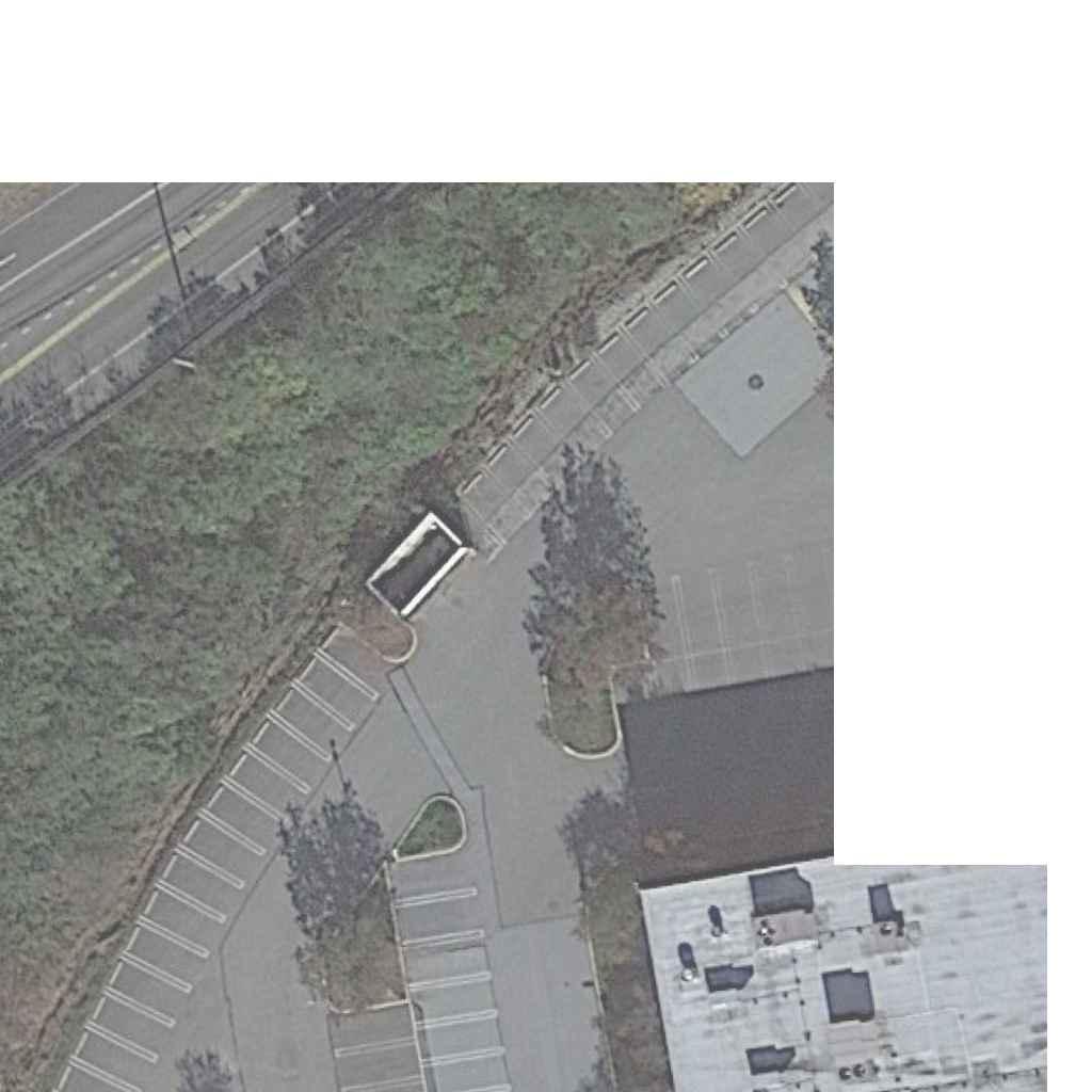


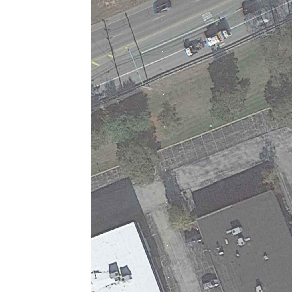
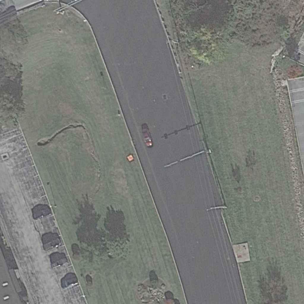
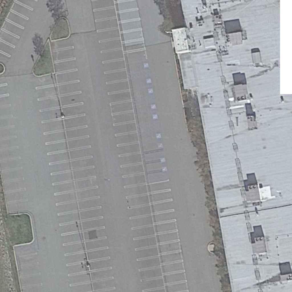
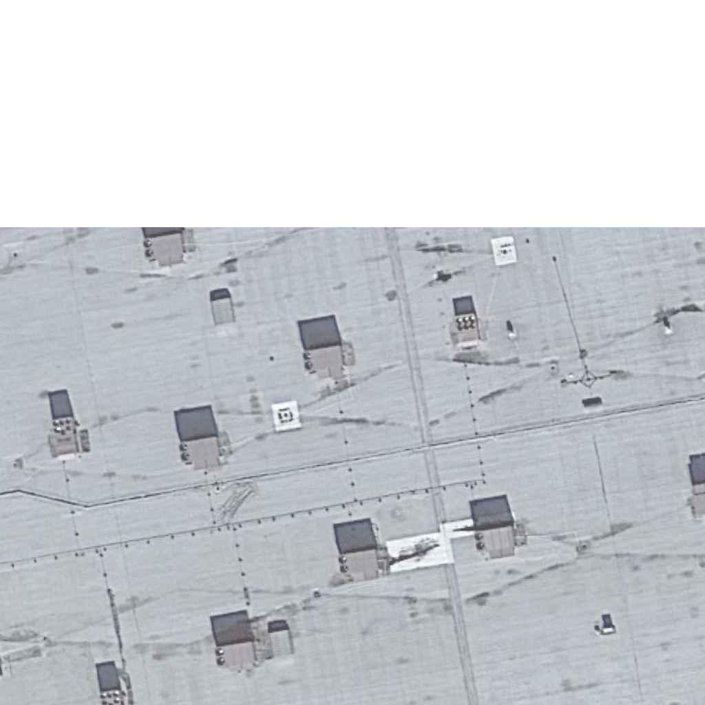

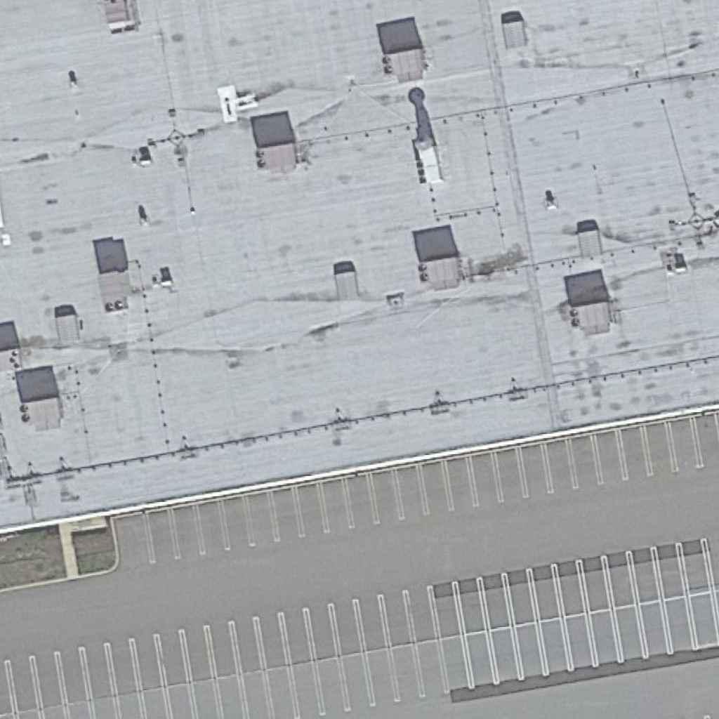
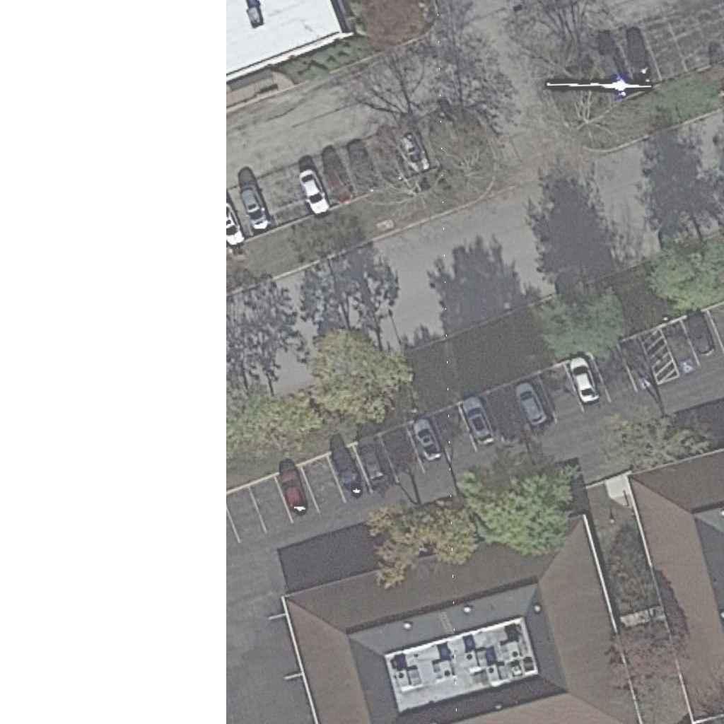
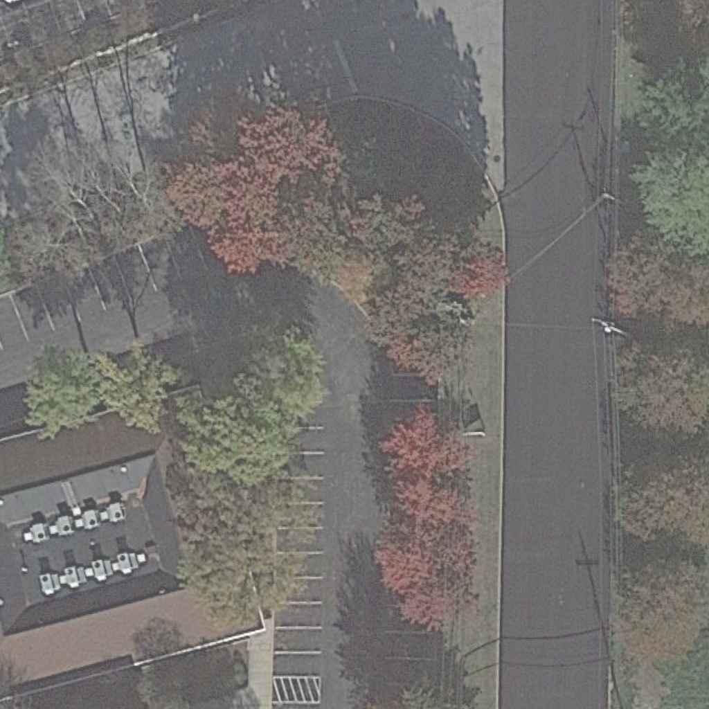
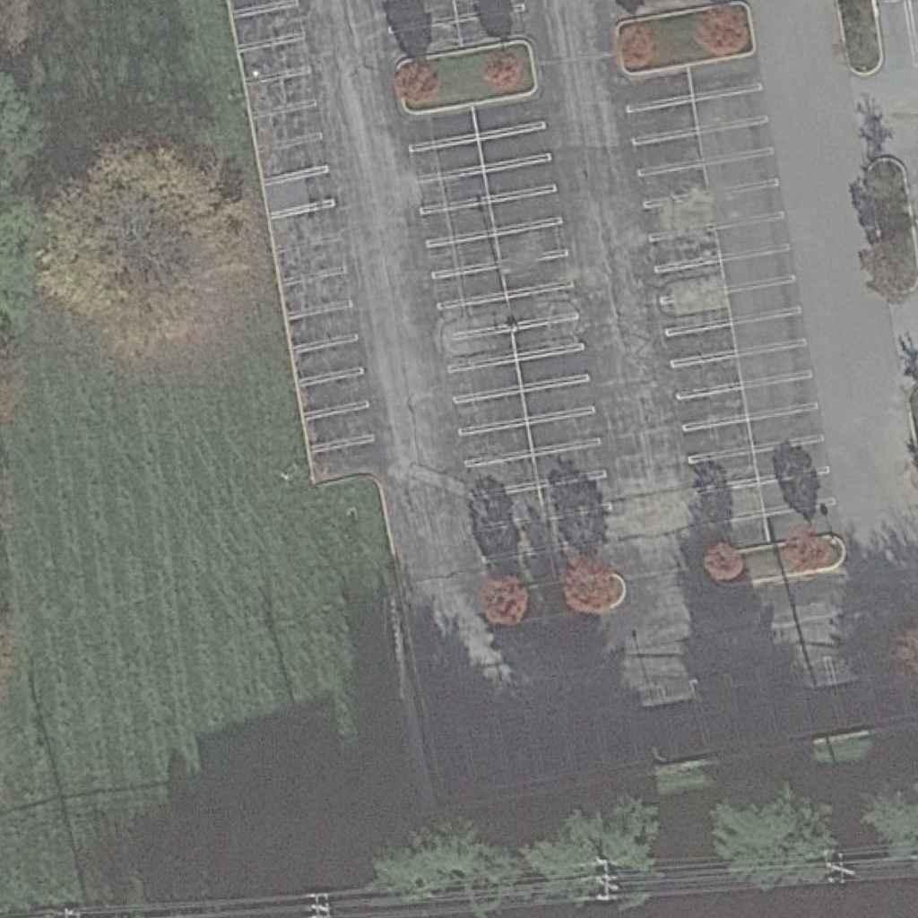
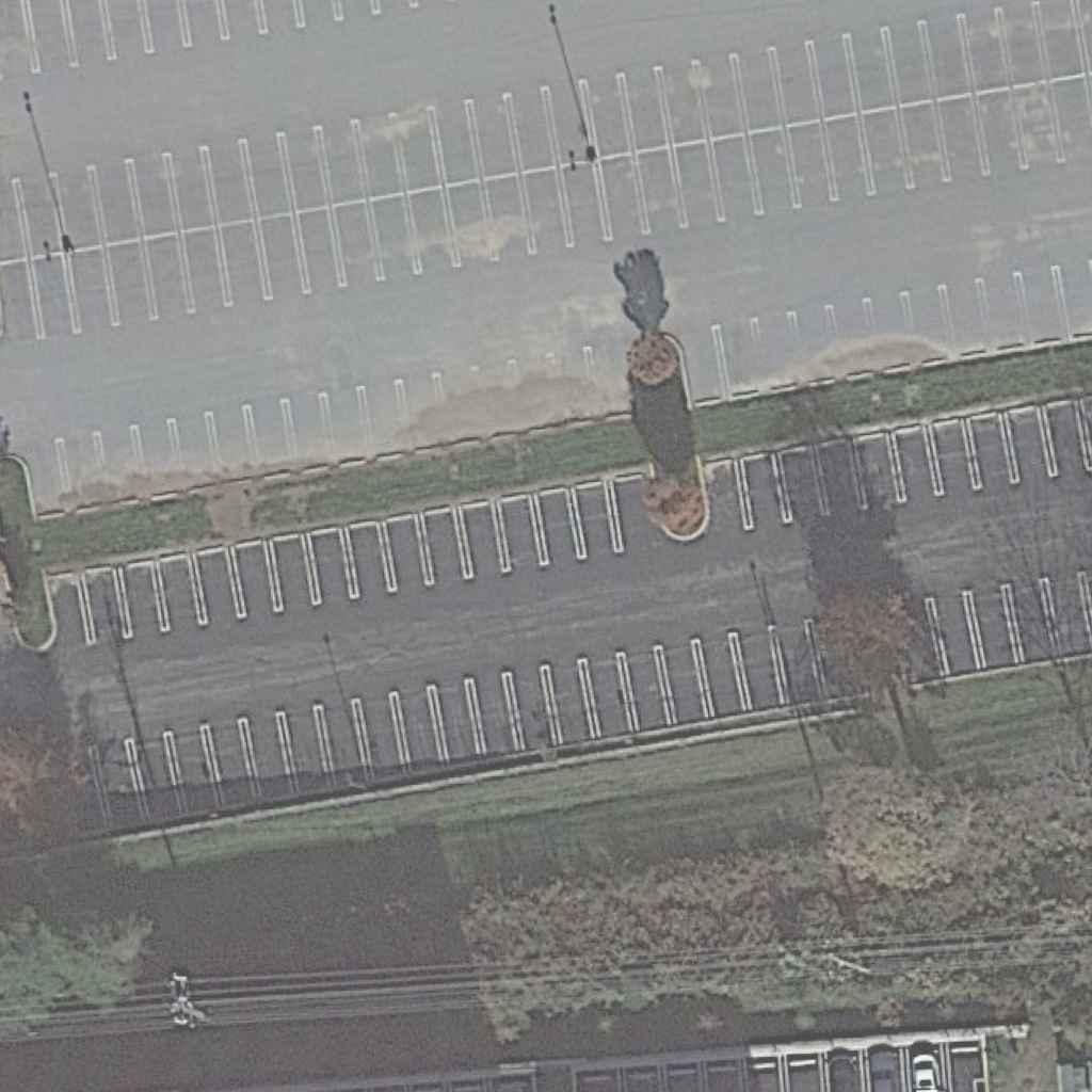
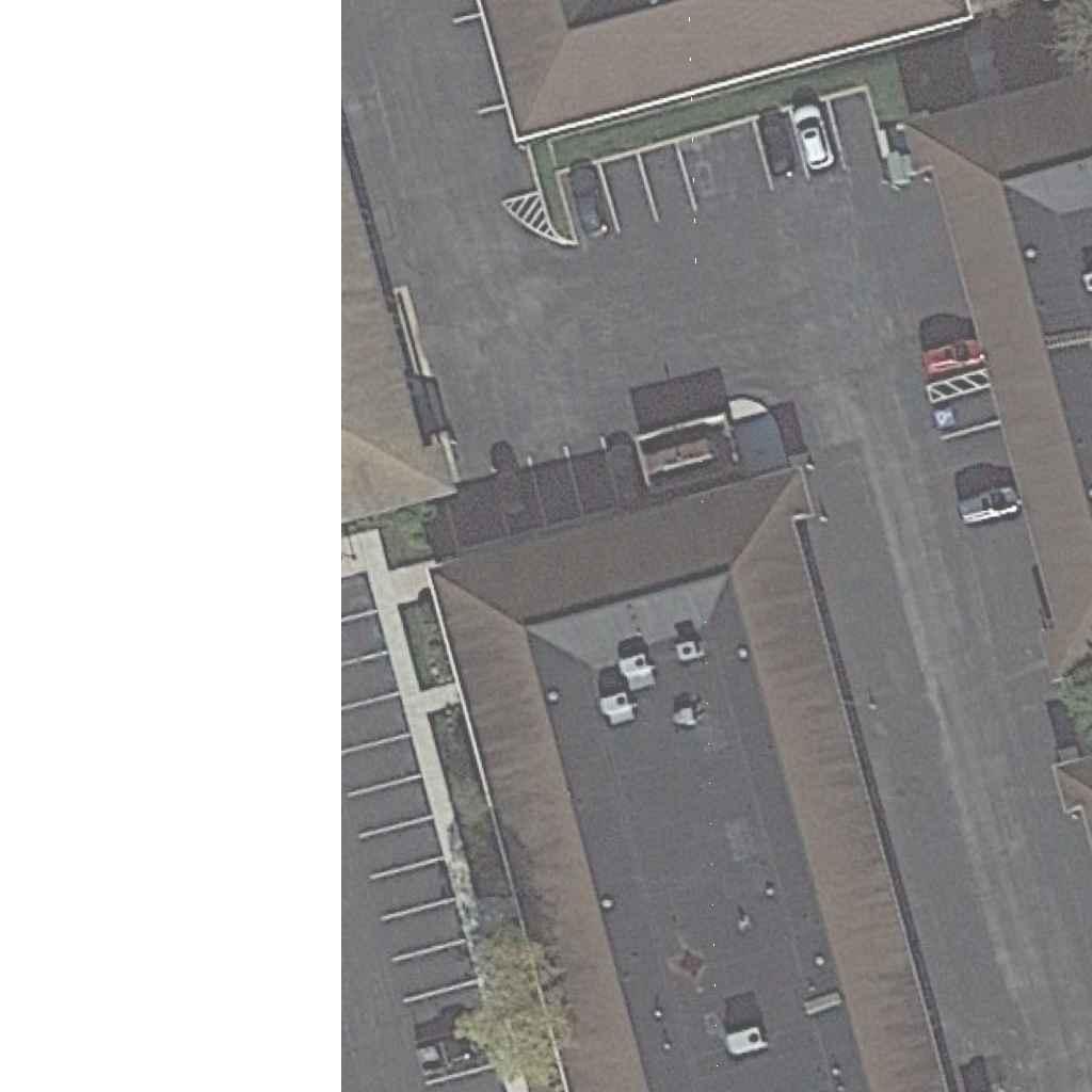
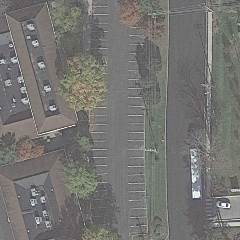

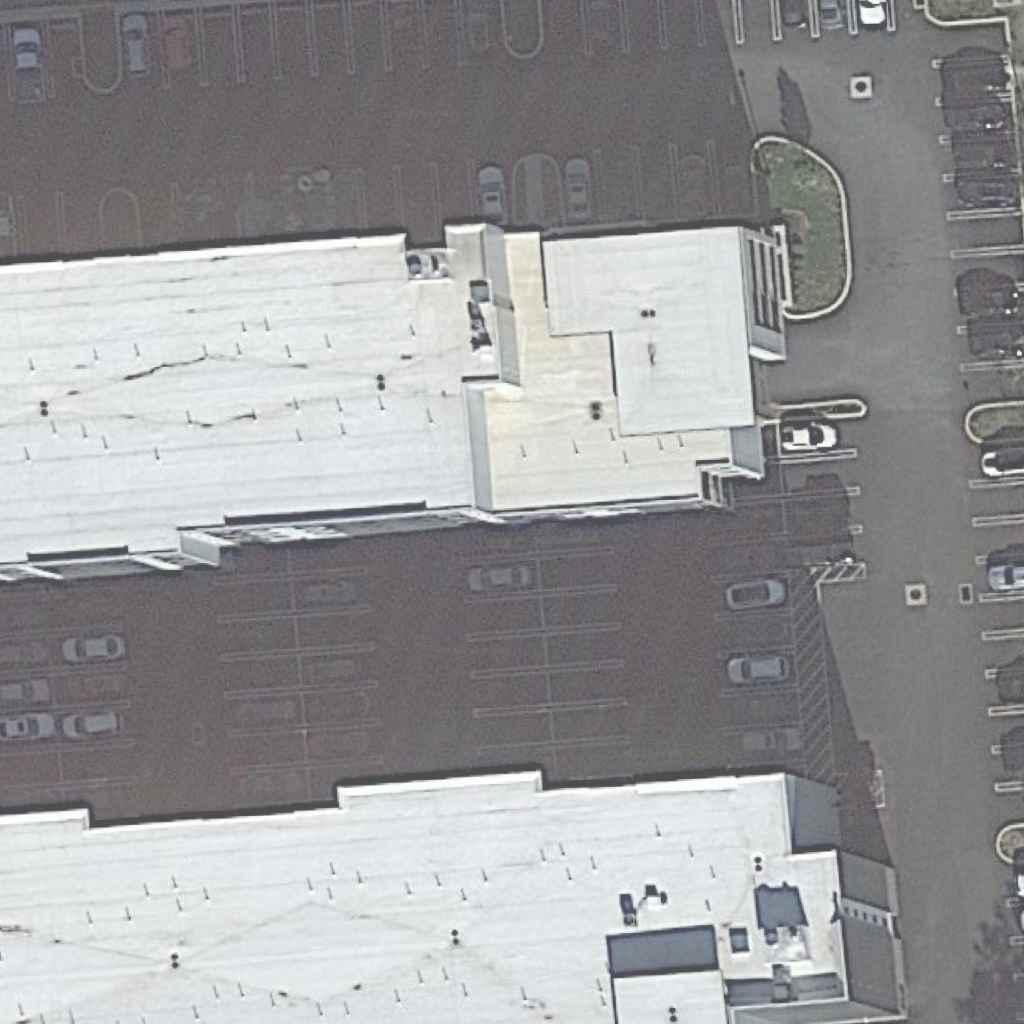
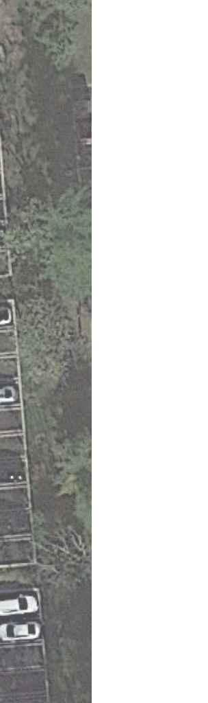
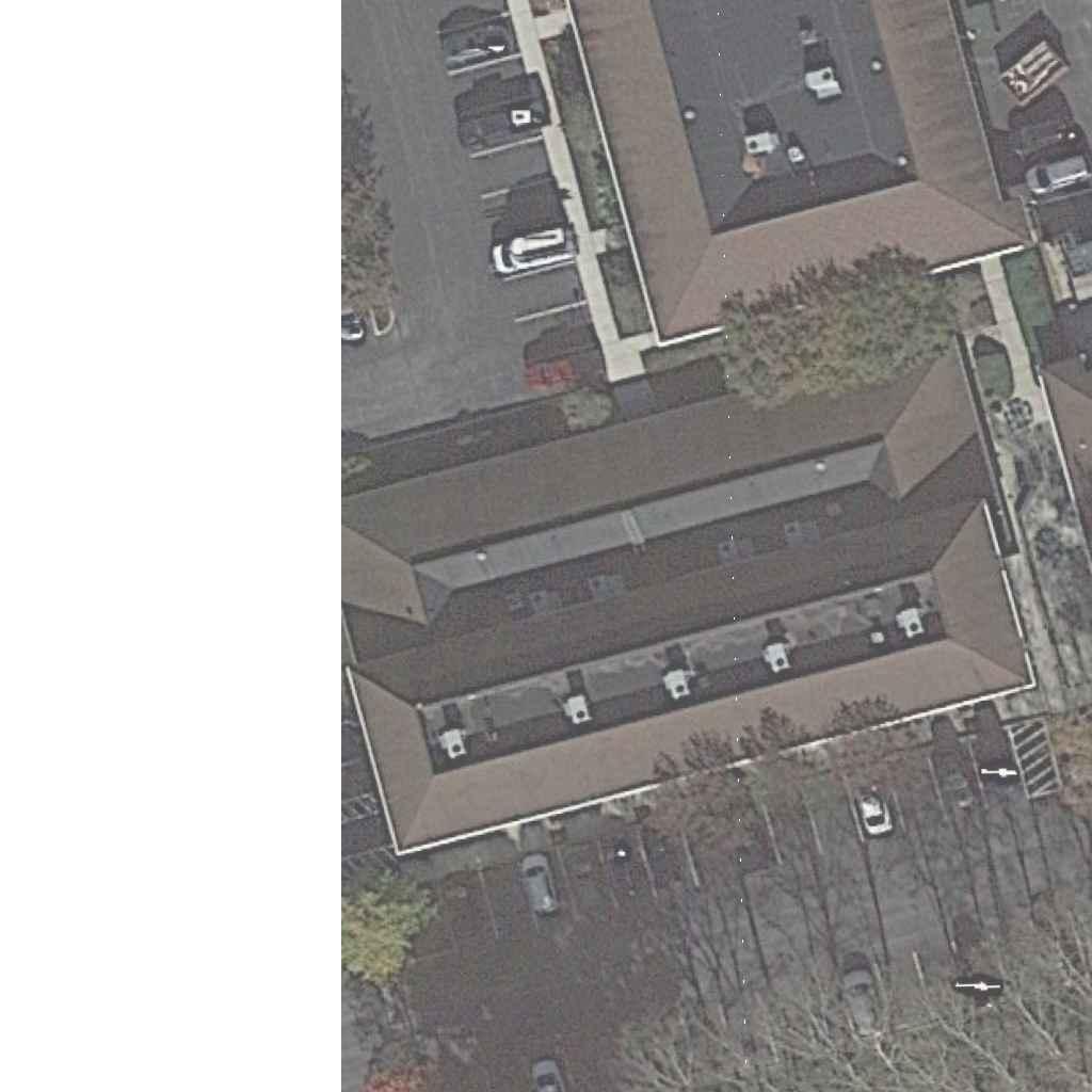
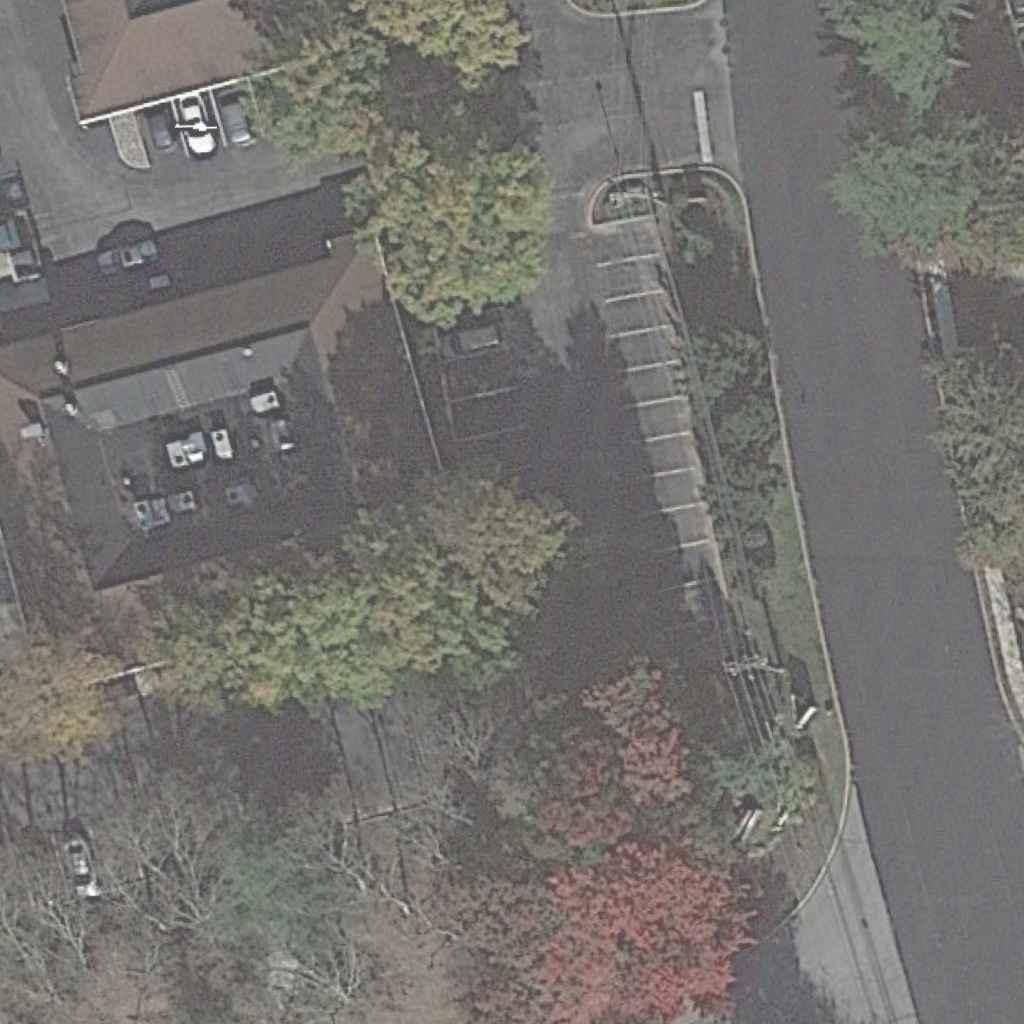
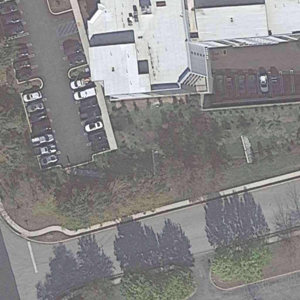
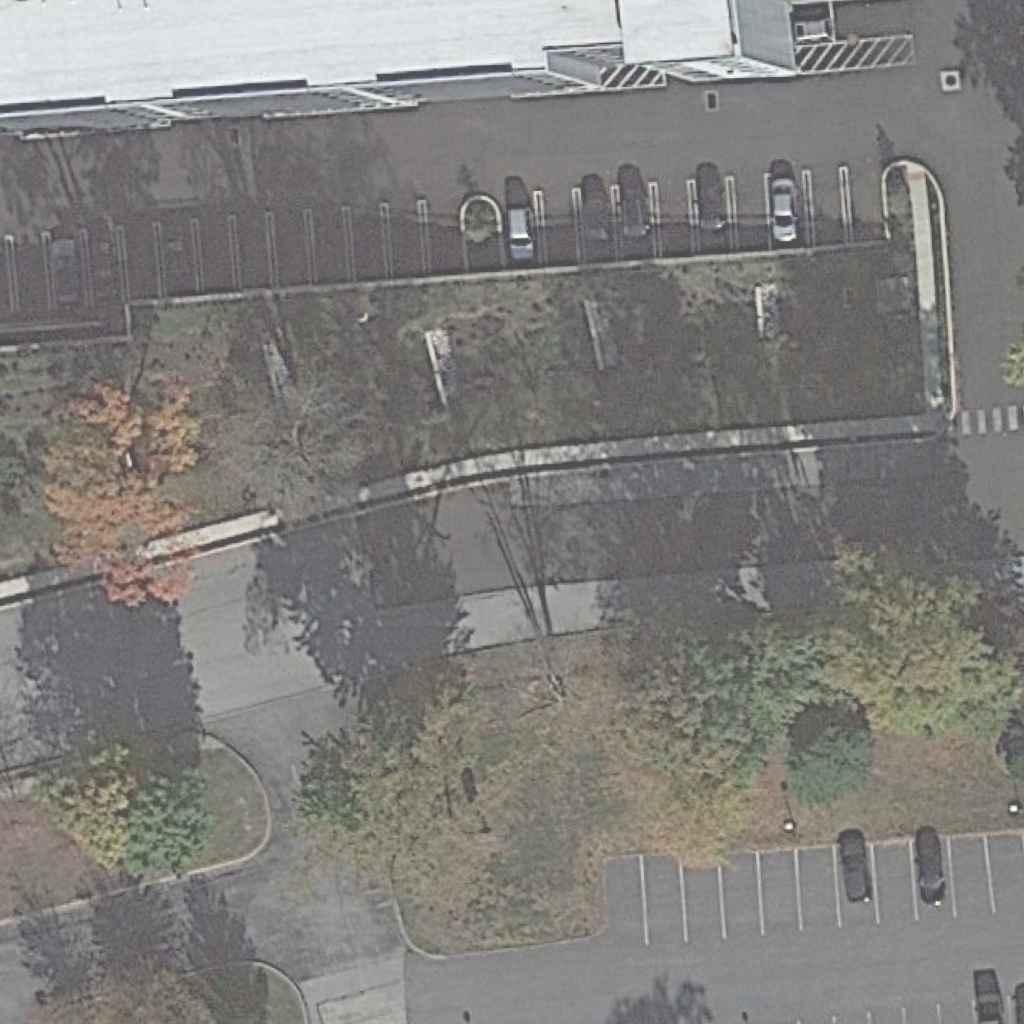
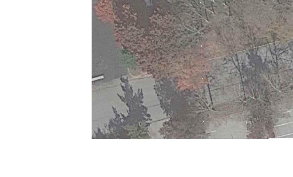
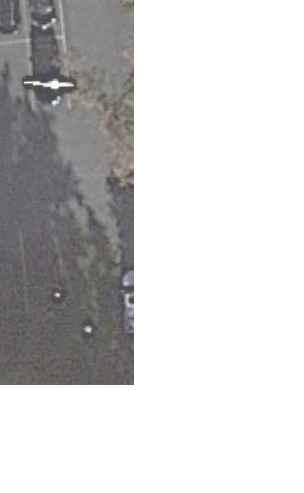
1 2 / 2 1 / 2 0 2 2 1 2 : 5 9 : 3 7 P M t f a r l e y 1 : 6 0 0 p w : \ \ t p dp w b e n t l e y c o m : T P D P r o j e c t w i s e \ D o c u m e n t s \ A c t i v e \ K O P D \ 0 0 0 0 1M o o r e R o a d M u l t i m o d a l T r a i lM o o r e R o a d S i d e p a t h \ C A D D ( H O P I n R o a d s S S 2 ) \ C o n c e p t \ 2 0 2 21 11 7 C o n c e p t \ C o n e p t P l a n M o o r e R o a d T r a i l d g n SECTION SHEET DISTRICT 6-0 ROUTE COUNTY CONCEPT PLAN MOORE ROAD TRAIL UPPER MERION TOWNSHIP MONTGOMERY 1 1 OF 0 50 100 FEET VROAD(SR0023) ALLEYFORGE VROAD(SR0023) ALLEYFORGE M O O R E R O A D M O O R E R O A D W 8THAVENUE W 8THAVENUE E8THAVENUE E8THAVENUE M O O R E R O A D M O O R E R O A D W 9THAVENUE W 9THAVENUE TRAIL 10' MULTIMODAL TRAIL 10' MULTIMODAL TRAIL 10' MULTIMODAL TRAIL 10' MULTIMODAL REDESIGN DRIVEWAY PROPOSED ROAD(SR 0023) VALLEY FORGE ROAD(SR 0023) VALLEY FORGE TRAIL 10' MULTIMODAL TRAIL 10' MULTIMODAL TRAIL 10' MULTIMODAL TRAIL 10' MULTIMODAL 5' SIDEWALK RELOCATION PROPOSED MAST ARM RELOCATION MAST ARM PROPOSED CROSSING BEACON (RRFB) RAPID FLASHING RECTANGULAR CROSSING BEACON (RRFB) RAPID FLASHING RECTANGULAR Est. 1989 AND DESIGN, INC. TRAFFIC PLANNING www.TrafficPD.com 1.877.873.9739 TPD@TrafficPD.com
6. Intersection Analyses: Moore Road with
720 Moore Road Proposed Driveway
Mancill Mill Road

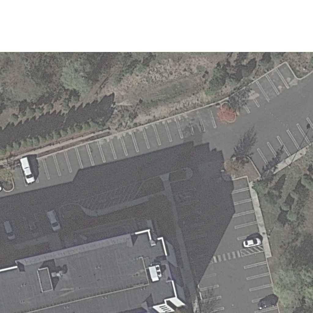
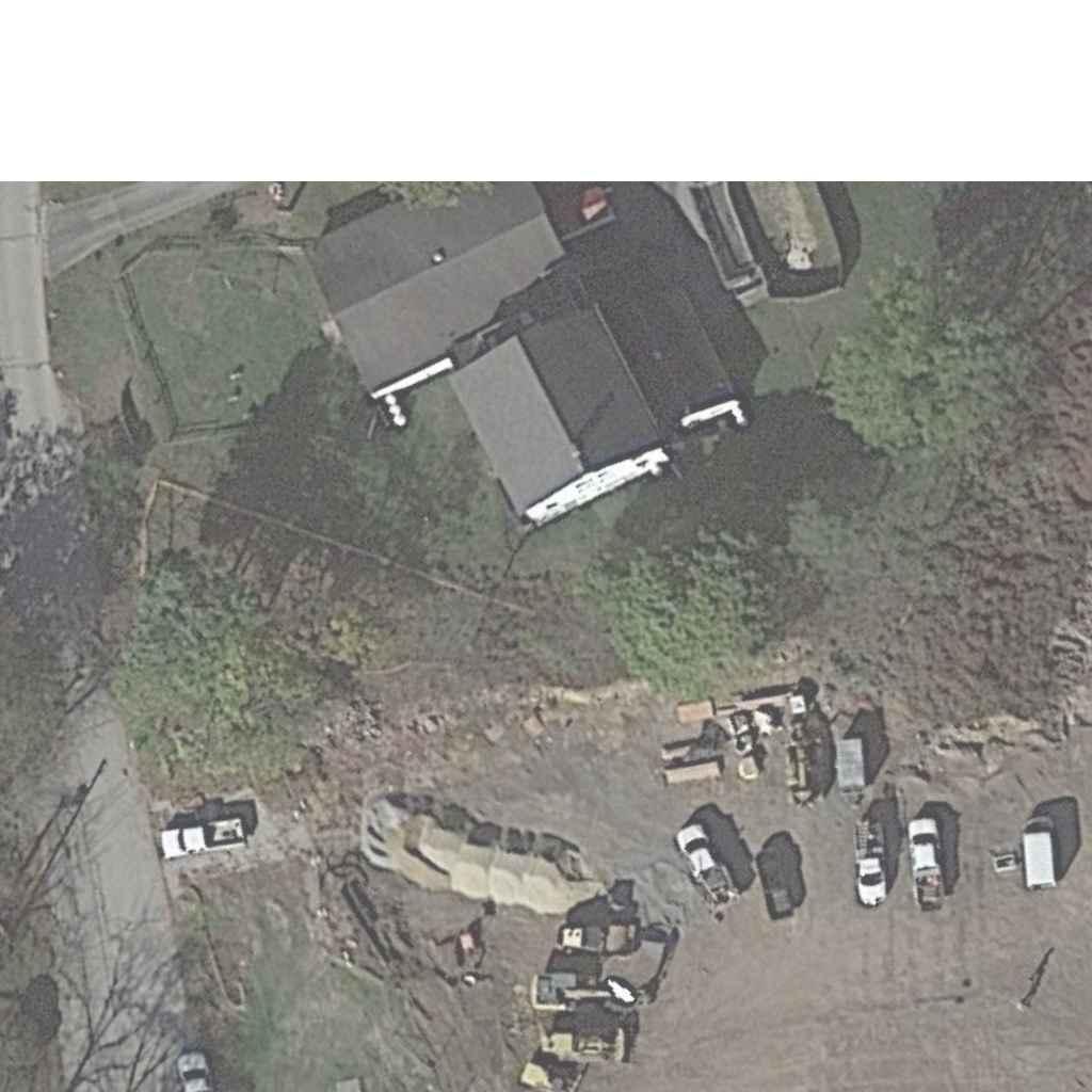
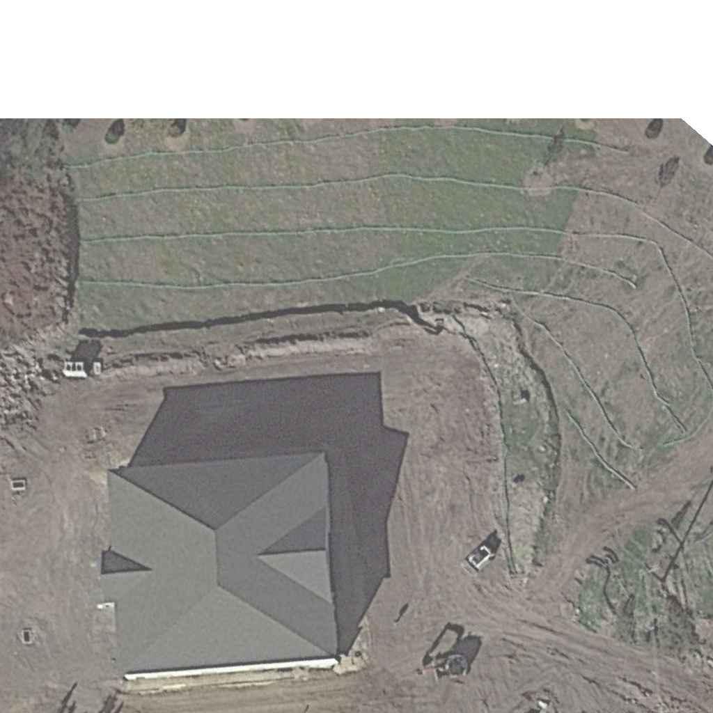
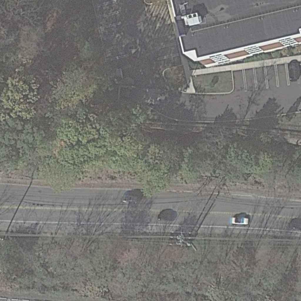
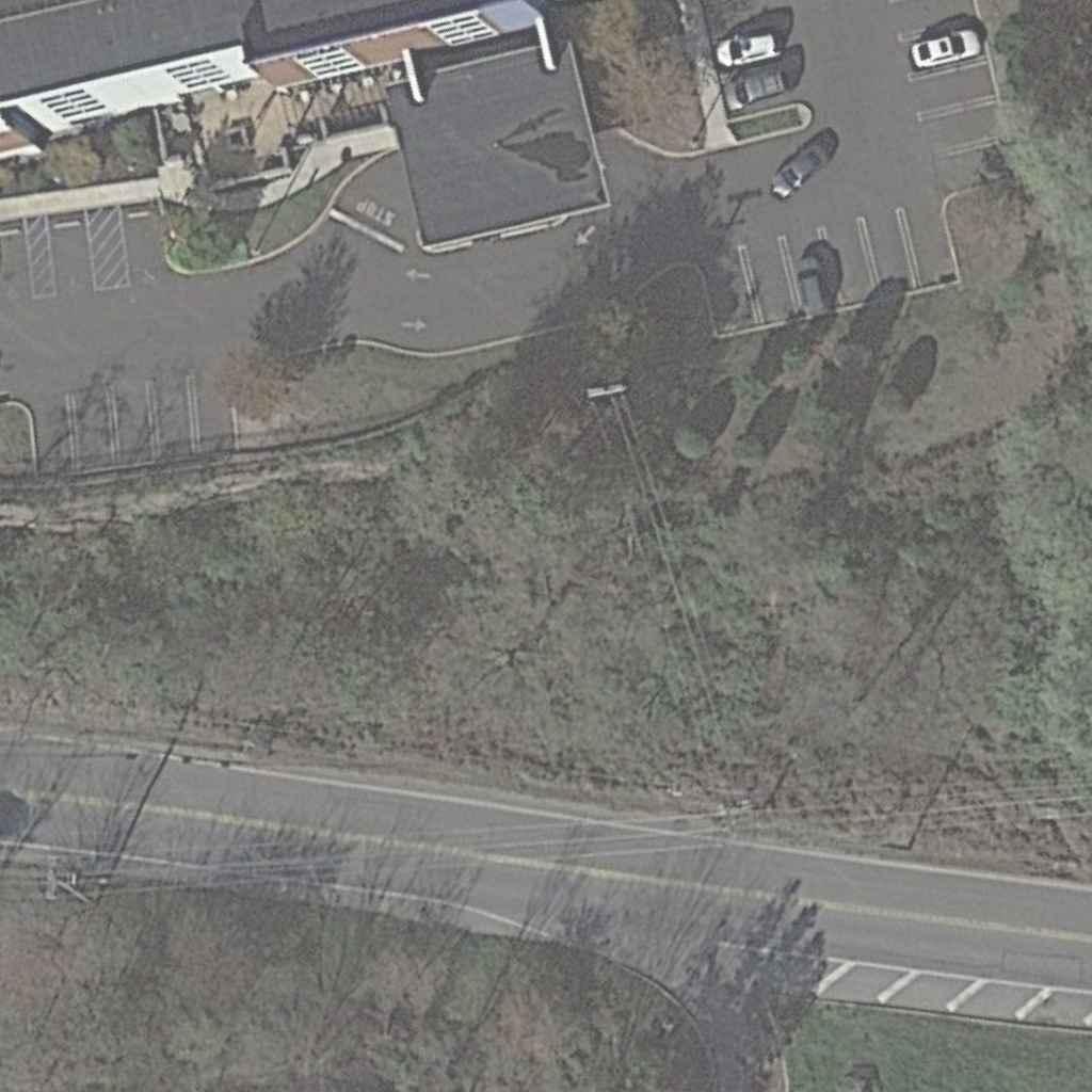

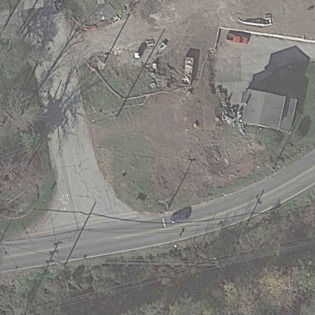
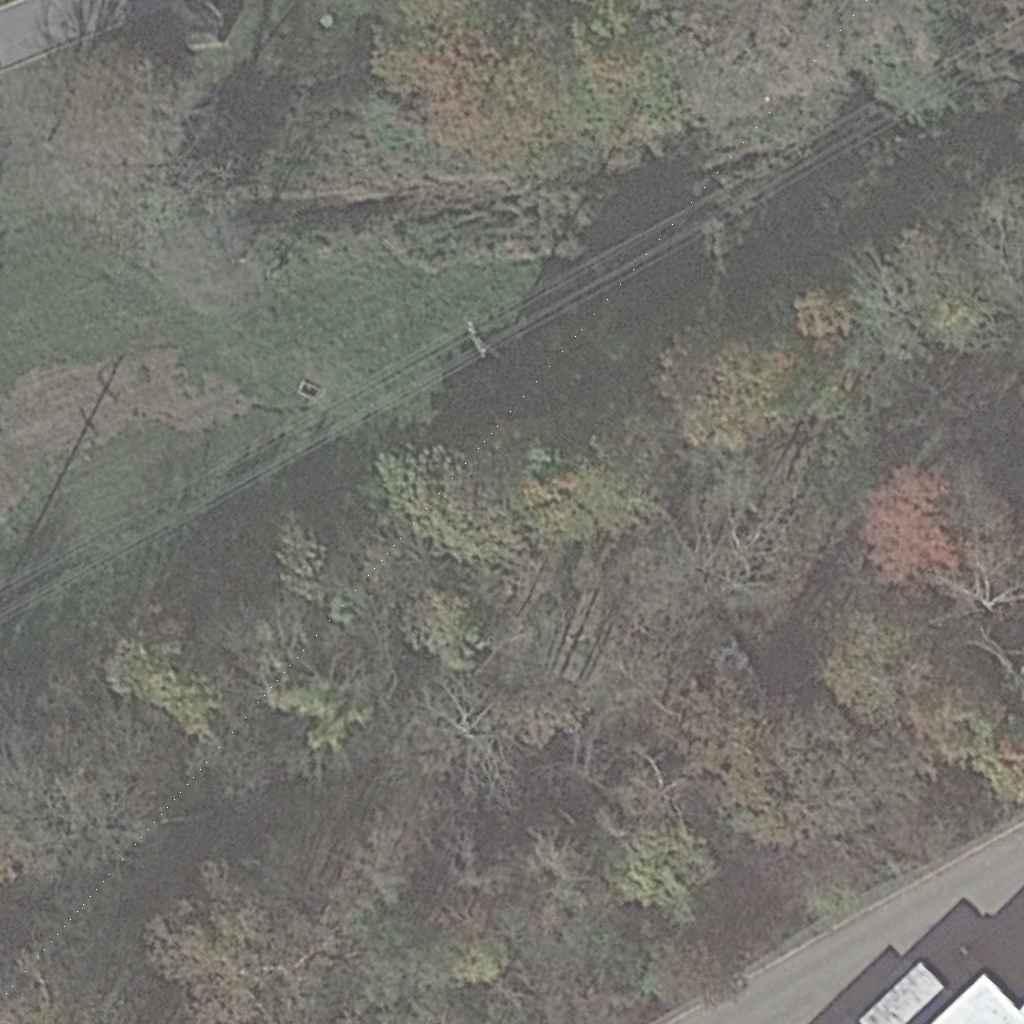
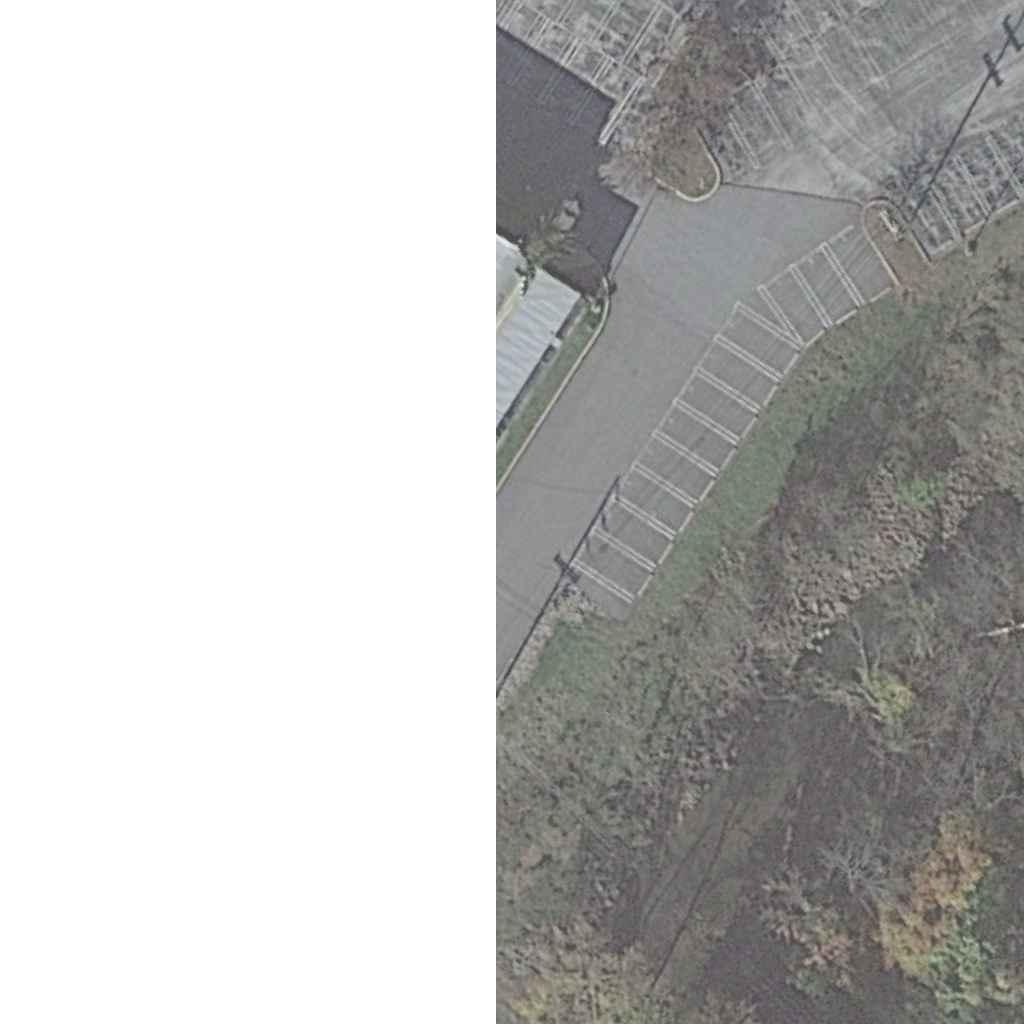
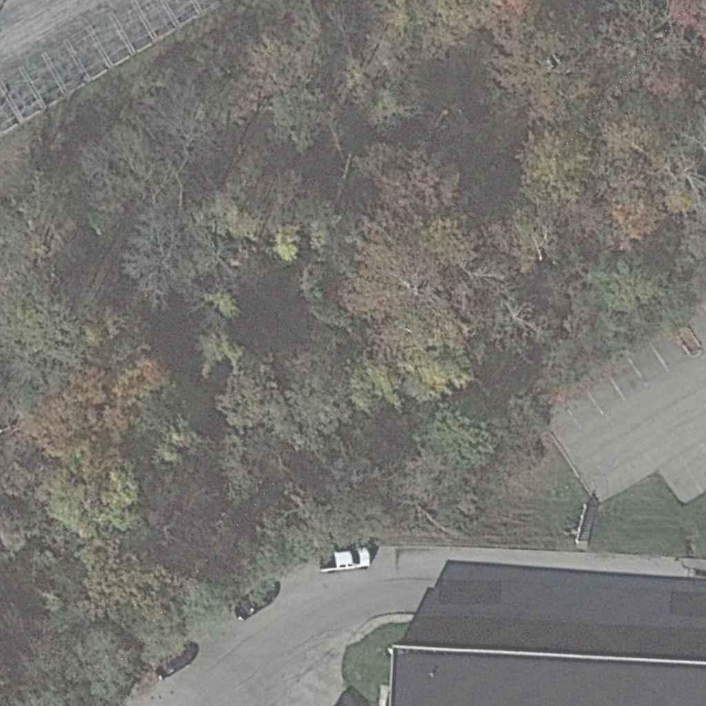
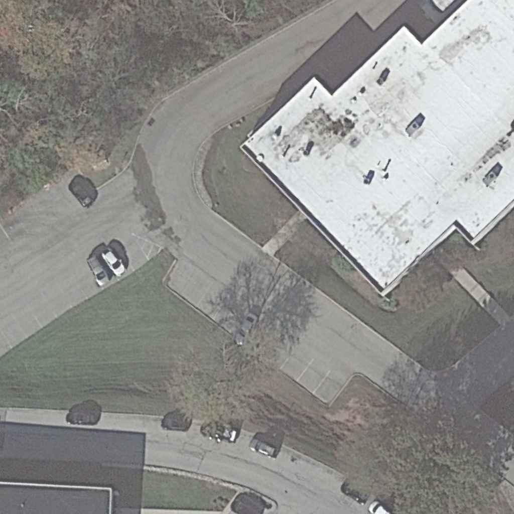
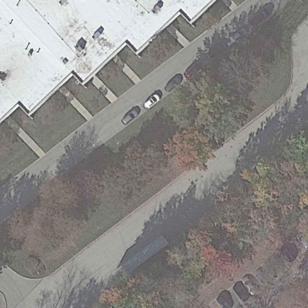
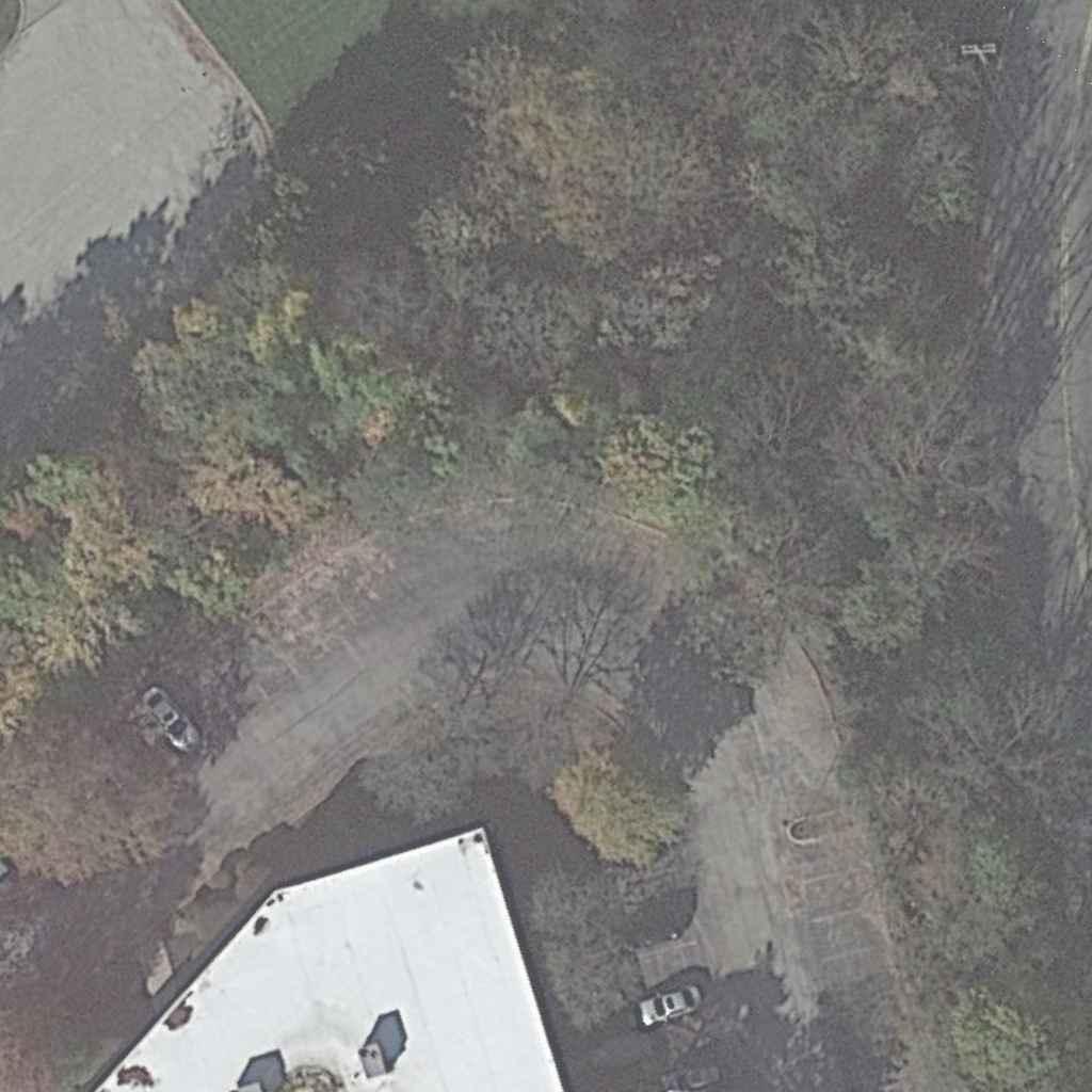


SECTION SHEET DISTRICT 6-0 ROUTE SHEET COUNTY UPPER MERION TOWNSHIP MONTGOMERY 1 0023 1 OF CONCEPT PLAN SR 0023 CROSSING MOORE PARK TRAIL VVALLEYFORGEROAD(SR0023) ALLEYFORGEROAD(SR0023) 0 50 100 FEET TRAIL 10' MULTIMODAL TRAIL 10' MULTIMODAL BUS SHELTER TRAIL 10' MULTIMODAL REALIGNMENT TROUT CREEK BRIDGE TRAIL 10' MULTIMODAL TRAIL 10' MULTIMODAL TRAIL 10' MULTIMODAL REDESIGN DRIVEWAY PROPOSED TRAIL 10' MULTIMODAL 5' SIDEWALK 5' SIDEWALK ROAD W BEIDLER ROAD W BEIDLER R O A D (SR 0023) V A LLEY FO R G E R O A D (SR 0023) V A LLEY FO R G E M A N C ILL M ILL R O A D M A N C ILL M ILL R O A D TRAIL 10' MULTIMODAL 6' SIDEWALK Est. 1989 AND DESIGN, INC. TRAFFIC PLANNING www.TrafficPD.com 1.877.873.9739 TPD@TrafficPD.com
7. Moore Road Trail Intersection Turning Radius Analysis
B62 B-62 20 D62 B-626262 W12 / 2 / 2022 3 : 45 : 02 P M jj a no s 1 : 49 9999 p w :\\t pdp w b e n tl e y c o m : T P D P r o j ec t w i s e \ D o c u m e n t s \ A c ti v e \ KO P D \ 00001M oo r e R o a d M u lti m od a l T r a ilM oo r e R o a d S i d e p a t h \ C ADD ( HO P I n R o a d s SS 2 ) \ C on ce p t\ 20221117 C on ce p t\ C on e p t P l a n_ M oo r e R o a d T r a il dgn SECTION SHEET DISTRICT 6-0 ROUTE COUNTY CONCEPT PLAN MOORE ROAD TRAIL UPPER MERION TOWNSHIP MONTGOMERY 1 1 OF Est. 1989 AND DESIGN, INC. TRAFFIC PLANNING www.TrafficPD.com 1.877.873.9739 TPD@TrafficPD.com 9th Avenue-WB50- Turning Movement Analysis
8. SAMPLE: ContechTM Pedestrian Bridge Plans
BRIDGESUMMARY
LinkPedestrianBridge200'Spanx12'Width
DeckType:Concrete
BridgeFinish:WeatheringSteel
CONCRETE ABUTMENT BOTTOMCHORD
BRIDGEELEVATION
ILLUSTRATIVE CONCEPT ONLY MOORE ROAD PEDESTRIAN BRIDGE-WEST
Thegraphicinformationanddetailscontainedintheseplansisschematicinnature.Theplans,elevationsandsectionshavebeendevelopedautomaticallyinawaythatdemonstratesyourcurrentinputinarelativeandproportionalmanner.Thedetailsincludedintheseplanshavebeen selectedtorepresentcommonlybuiltconstructionassemblies.ThesearenotEngineeringdrawings,andassuch,thedetailsmayvaryinthefinaldesignforyourprojectdependingonmanyvariablesthatareselectedinyourfinalscopeofworkandspecifications.
Thedesignandinformationshownonthisdrawingisprovided asaservicetotheprojectowner,engineerandcontractorby ContechEngineeredSolutionsLLC("Contech").Neitherthis drawing,noranypartthereof,maybeused,reproducedor modifiedinanymannerwithoutthepriorwrittenconsentof Contech.Failuretocomplyisdoneattheuser'sownriskand Contechexpresslydisclaimsanyliabilityorresponsibilityfor suchuse.
Ifdiscrepanciesbetweenthesuppliedinformationuponwhich thedrawingisbasedandactualfieldconditionsareencountered assiteworkprogresses,thesediscrepanciesmustbereported toContechimmediatelyforre-evaluationofthedesign.Contech acceptsnoliabilityfordesignsbasedonmissing,incompleteor inaccurateinformationsuppliedbyothers.
200' TOP CHORD DIAGONAL VERTICAL
7/6/2022 DYOB DATE: CHECKED: DRAWN: DYOB DESIGNED: APPROVED: PROJECTNUMBER: \\QUIKRETE.NET\CONTECH\COMMON\ENGINEERING\DYO\DYOB\221517\BRIDGE221517.DWG 7/6/2022 1:06 PM SHEETNO.: OF 221517 4
PRELIMINARY NOTFORCONSTRUCTION 1 CONTECH DRAWING DYOB® 800-338-1122513-645-7000513-645-7993FAX 9025CentrePointeDr.,Suite400,WestChester,OH45069 REVISIONDESCRIPTION DATE MARK BY CONTINENTAL BRIDGE Link®200'Spanx12'Width MooreRoadMultimodalTrail PedestrianBridge KingofPrussia,Pennsylvania
www.contechES.com
Thegraphicinformationanddetailscontainedintheseplansisschematicinnature.Theplans,elevationsandsectionshavebeendevelopedautomaticallyinawaythatdemonstratesyourcurrentinputinarelativeandproportionalmanner.Thedetailsincludedintheseplanshavebeen selectedtorepresentcommonlybuiltconstructionassemblies.ThesearenotEngineeringdrawings,andassuch,thedetailsmayvaryinthefinaldesignforyourprojectdependingonmanyvariablesthatareselectedinyourfinalscopeofworkandspecifications.
Thedesignandinformationshownonthisdrawingisprovided asaservicetotheprojectowner,engineerandcontractorby ContechEngineeredSolutionsLLC("Contech").Neitherthis drawing,noranypartthereof,maybeused,reproducedor modifiedinanymannerwithoutthepriorwrittenconsentof Contech.Failuretocomplyisdoneattheuser'sownriskand Contechexpresslydisclaimsanyliabilityorresponsibilityfor suchuse.
Ifdiscrepanciesbetweenthesuppliedinformationuponwhich thedrawingisbasedandactualfieldconditionsareencountered assiteworkprogresses,thesediscrepanciesmustbereported toContechimmediatelyforre-evaluationofthedesign.Contech acceptsnoliabilityfordesignsbasedonmissing,incompleteor inaccurateinformationsuppliedbyothers.
www.contechES.com
9025CenrePonteDrSue400WesCheseOH45069
FLOOR BEAM DECK BRACING FRAMING SIDEDAM BRIDGEPLAN BRACE DIAGONAL BOTTOM CHORD CONCRETE DECK 12' 7/6/2022 DYOB DATE: CHECKED: DRAWN: DYOB DESIGNED: APPROVED: PROJECTNUMBER: \\QUIKRETE.NET\CONTECH\COMMON\ENGINEERING\DYO\DYOB\221517\BRIDGE221517.DWG 7/6/2022 1:06 PM SHEETNO.: OF 221517 4
PRELIMINARY NOTFORCONSTRUCTION 2 CONTECH DRAWING DYOB® 800-338-1122 513-645-7000 513-645-7993FAX
REVISIONDESCRIPTION DATE MARK BY CONTINENTAL BRIDGE Link®200'Spanx12'Width MooreRoadMultimodalTrail PedestrianBridge KingofPrussia,Pennsylvania
Thegraphicinformationanddetailscontainedintheseplansisschematicinnature.Theplans,elevationsandsectionshavebeendevelopedautomaticallyinawaythatdemonstratesyourcurrentinputinarelativeandproportionalmanner.Thedetailsincludedintheseplanshavebeen selectedtorepresentcommonlybuiltconstructionassemblies.ThesearenotEngineeringdrawings,andassuch,thedetailsmayvaryinthefinaldesignforyourprojectdependingonmanyvariablesthatareselectedinyourfinalscopeofworkandspecifications.
Thedesignandinformationshownonthisdrawingisprovided asaservicetotheprojectowner,engineerandcontractorby ContechEngineeredSolutionsLLC("Contech").Neitherthis drawing,noranypartthereof,maybeused,reproducedor modifiedinanymannerwithoutthepriorwrittenconsentof Contech.Failuretocomplyisdoneattheuser'sownriskand Contechexpresslydisclaimsanyliabilityorresponsibilityfor suchuse.
Ifdiscrepanciesbetweenthesuppliedinformationuponwhich thedrawingisbasedandactualfieldconditionsareencountered assiteworkprogresses,thesediscrepanciesmustbereported toContechimmediatelyforre-evaluationofthedesign.Contech acceptsnoliabilityfordesignsbasedonmissing,incompleteor inaccurateinformationsuppliedbyothers.
www.contechES.com
54" (Min) TOERAIL SAFETYPICKET RUBRAIL 12' BRACE DIAGONAL DIAGONAL
VERTICAL CONCRETEDECK (BYOTHERS) TOPCHORD SECTION 7/6/2022 DYOB DATE: CHECKED: DRAWN: DYOB DESIGNED: APPROVED: PROJECTNUMBER: \\QUIKRETE.NET\CONTECH\COMMON\ENGINEERING\DYO\DYOB\221517\BRIDGE221517.DWG 7/6/2022 1:06 PM SHEETNO.: OF 221517 4
BOTTOMCHORD
PRELIMINARY NOTFORCONSTRUCTION 3 CONTECH DRAWING DYOB® 800-338-1122 513-645-7000 513-645-7993FAX 9025CenrePonteDrSue400WesCheseOH45069 REVISIONDESCRIPTION DATE MARK BY CONTINENTAL BRIDGE Link®200'Spanx12'Width MooreRoadMultimodalTrail PedestrianBridge KingofPrussia,Pennsylvania
VARIES
BEARINGSIDEVIEW
INFORMATIONPROVIDEDFORREPRESENTATIONONLY.
GALVANIZED FORMDECK
FLOOR BEAM
Thegraphicinformationanddetailscontainedintheseplansisschematicinnature.Theplans,elevationsandsectionshavebeendevelopedautomaticallyinawaythatdemonstratesyourcurrentinputinarelativeandproportionalmanner.Thedetailsincludedintheseplanshavebeen selectedtorepresentcommonlybuiltconstructionassemblies.ThesearenotEngineeringdrawings,andassuch,thedetailsmayvaryinthefinaldesignforyourprojectdependingonmanyvariablesthatareselectedinyourfinalscopeofworkandspecifications.
Thedesignandinformationshownonthisdrawingisprovided asaservicetotheprojectowner,engineerandcontractorby ContechEngineeredSolutionsLLC("Contech").Neitherthis drawing,noranypartthereof,maybeused,reproducedor modifiedinanymannerwithoutthepriorwrittenconsentof Contech.Failuretocomplyisdoneattheuser'sownriskand Contechexpresslydisclaimsanyliabilityorresponsibilityfor suchuse.
Ifdiscrepanciesbetweenthesuppliedinformationuponwhich thedrawingisbasedandactualfieldconditionsareencountered assiteworkprogresses,thesediscrepanciesmustbereported toContechimmediatelyforre-evaluationofthedesign.Contech acceptsnoliabilityfordesignsbasedonmissing,incompleteor inaccurateinformationsuppliedbyothers.
www.contechES.com
9025CenrePonteDrSue400WesCheseOH45069
BASEPLATE SETTINGPLATE BOTTOM CHORD SHIPPINGSTRUT
ABUTMENT STRINGER ENDVERTICAL ENDFLOOR BEAM CONCRETE DECK 1 4 "
∠11 4x11 4x1 8x5"LG W/(2)Ø1 4"x11 2"LGZINC PLATEDCARRIAGE BOLTSATEACH VERTICAL CONT5 4"x6"NOM IRONWOODS® CLEARALLHEART RUBRAILS4S
REINFORCING
ACTUALBEARINGDIAGRAMSTOBEBASEDONFINALDESIGN. ANCHORRODS
CONCRETE
RUBRAILDETAIL
LATERAL
FORMDECK CONCRETEDECK (BYOTHERS)
LONGITUDINAL REINFORCING MIN.COVER
FORMDECKDETAIL
CONCRETEDECKREINFORCING LAPLAP FLOORBEAM
7/6/2022 DYOB DATE: CHECKED: DRAWN: DYOB DESIGNED: APPROVED: PROJECTNUMBER: \\QUIKRETE.NET\CONTECH\COMMON\ENGINEERING\DYO\DYOB\221517\BRIDGE221517.DWG 7/6/2022 1:06 PM SHEETNO.: OF 221517 4
PRELIMINARY NOTFORCONSTRUCTION 4 CONTECH DRAWING DYOB® 800-338-1122 513-645-7000 513-645-7993FAX
REVISIONDESCRIPTION DATE MARK BY CONTINENTAL BRIDGE Link®200'Spanx12'Width MooreRoadMultimodalTrail PedestrianBridge KingofPrussia,Pennsylvania
BRIDGESUMMARY LinkPedestrianBridge200'Spanx10'Width
DeckType:Concrete
BridgeFinish:WeatheringSteel
BRIDGEELEVATION
Thegraphicinformationanddetailscontainedintheseplansisschematicinnature.Theplans,elevationsandsectionshavebeendevelopedautomaticallyinawaythatdemonstratesyourcurrentinputinarelativeandproportionalmanner.Thedetailsincludedintheseplanshavebeen selectedtorepresentcommonlybuiltconstructionassemblies.ThesearenotEngineeringdrawings,andassuch,thedetailsmayvaryinthefinaldesignforyourprojectdependingonmanyvariablesthatareselectedinyourfinalscopeofworkandspecifications.
Thedesignandinformationshownonthisdrawingisprovided asaservicetotheprojectowner,engineerandcontractorby ContechEngineeredSolutionsLLC("Contech").Neitherthis drawing,noranypartthereof,maybeused,reproducedor modifiedinanymannerwithoutthepriorwrittenconsentof Contech.Failuretocomplyisdoneattheuser'sownriskand Contechexpresslydisclaimsanyliabilityorresponsibilityfor suchuse.
Ifdiscrepanciesbetweenthesuppliedinformationuponwhich thedrawingisbasedandactualfieldconditionsareencountered assiteworkprogresses,thesediscrepanciesmustbereported toContechimmediatelyforre-evaluationofthedesign.Contech acceptsnoliabilityfordesignsbasedonmissing,incompleteor inaccurateinformationsuppliedbyothers.
200' TOP CHORD DIAGONAL VERTICAL
CONCRETE ABUTMENT BOTTOMCHORD
7/6/2022 DYOB DATE: CHECKED: DRAWN: DYOB DESIGNED: APPROVED: PROJECTNUMBER: \\QUIKRETE.NET\CONTECH\COMMON\ENGINEERING\DYO\DYOB\221518\BRIDGE221518.DWG 7/6/2022 1:07 PM SHEETNO.: OF 221518 4
PRELIMINARY NOTFORCONSTRUCTION 1 CONTECH DRAWING DYOB® 800-338-1122 513-645-7000 513-645-7993FAX 9025CenrePoneDrSue400WesChese,OH45069 REVISIONDESCRIPTION DATE MARK BY CONTINENTAL BRIDGE Link®200'Spanx10'Width MooreRoadMultimodalTrail PedestrianBridge KingofPrussia,Pennsylvania
www.contechES.com
Thegraphicinformationanddetailscontainedintheseplansisschematicinnature.Theplans,elevationsandsectionshavebeendevelopedautomaticallyinawaythatdemonstratesyourcurrentinputinarelativeandproportionalmanner.Thedetailsincludedintheseplanshavebeen selectedtorepresentcommonlybuiltconstructionassemblies.ThesearenotEngineeringdrawings,andassuch,thedetailsmayvaryinthefinaldesignforyourprojectdependingonmanyvariablesthatareselectedinyourfinalscopeofworkandspecifications.
Thedesignandinformationshownonthisdrawingisprovided asaservicetotheprojectowner,engineerandcontractorby ContechEngineeredSolutionsLLC("Contech").Neitherthis drawing,noranypartthereof,maybeused,reproducedor modifiedinanymannerwithoutthepriorwrittenconsentof Contech.Failuretocomplyisdoneattheuser'sownriskand Contechexpresslydisclaimsanyliabilityorresponsibilityfor suchuse.
Ifdiscrepanciesbetweenthesuppliedinformationuponwhich thedrawingisbasedandactualfieldconditionsareencountered assiteworkprogresses,thesediscrepanciesmustbereported toContechimmediatelyforre-evaluationofthedesign.Contech acceptsnoliabilityfordesignsbasedonmissing,incompleteor inaccurateinformationsuppliedbyothers.
www.contechES.com
9025CenrePonteDrSue400WesCheseOH45069
BRACE DIAGONAL BOTTOM CHORD CONCRETE DECK 10' FLOOR BEAM DECK BRACING FRAMING SIDEDAM BRIDGEPLAN 7/6/2022 DYOB DATE: CHECKED: DRAWN: DYOB DESIGNED: APPROVED: PROJECTNUMBER: \\QUIKRETE.NET\CONTECH\COMMON\ENGINEERING\DYO\DYOB\221518\BRIDGE221518.DWG 7/6/2022 1:07 PM SHEETNO.: OF 221518 4
PRELIMINARY NOTFORCONSTRUCTION 2 CONTECH DRAWING DYOB® 800-338-1122 513-645-7000 513-645-7993FAX
REVISIONDESCRIPTION DATE MARK BY CONTINENTAL BRIDGE Link®200'Spanx10'Width MooreRoadMultimodalTrail PedestrianBridge KingofPrussia,Pennsylvania
Thegraphicinformationanddetailscontainedintheseplansisschematicinnature.Theplans,elevationsandsectionshavebeendevelopedautomaticallyinawaythatdemonstratesyourcurrentinputinarelativeandproportionalmanner.Thedetailsincludedintheseplanshavebeen selectedtorepresentcommonlybuiltconstructionassemblies.ThesearenotEngineeringdrawings,andassuch,thedetailsmayvaryinthefinaldesignforyourprojectdependingonmanyvariablesthatareselectedinyourfinalscopeofworkandspecifications.
Thedesignandinformationshownonthisdrawingisprovided asaservicetotheprojectowner,engineerandcontractorby ContechEngineeredSolutionsLLC("Contech").Neitherthis drawing,noranypartthereof,maybeused,reproducedor modifiedinanymannerwithoutthepriorwrittenconsentof Contech.Failuretocomplyisdoneattheuser'sownriskand Contechexpresslydisclaimsanyliabilityorresponsibilityfor suchuse.
Ifdiscrepanciesbetweenthesuppliedinformationuponwhich thedrawingisbasedandactualfieldconditionsareencountered assiteworkprogresses,thesediscrepanciesmustbereported toContechimmediatelyforre-evaluationofthedesign.Contech acceptsnoliabilityfordesignsbasedonmissing,incompleteor inaccurateinformationsuppliedbyothers.
www.contechES.com
TOEPLATE SAFETYRAIL RUBRAIL 54" (Min) 10' BRACE DIAGONAL DIAGONAL
VERTICAL CONCRETEDECK (BYOTHERS) TOPCHORD SECTION 7/6/2022 DYOB DATE: CHECKED: DRAWN: DYOB DESIGNED: APPROVED: PROJECTNUMBER: \\QUIKRETE.NET\CONTECH\COMMON\ENGINEERING\DYO\DYOB\221518\BRIDGE221518.DWG 7/6/2022 1:07 PM SHEETNO.: OF 221518 4
BOTTOMCHORD
PRELIMINARY NOTFORCONSTRUCTION 3 CONTECH DRAWING DYOB® 800-338-1122 513-645-7000 513-645-7993FAX 9025CenrePonteDrSue400WesCheseOH45069 REVISIONDESCRIPTION DATE MARK BY CONTINENTAL BRIDGE Link®200'Spanx10'Width MooreRoadMultimodalTrail PedestrianBridge KingofPrussia,Pennsylvania
VARIES
BEARINGSIDEVIEW
INFORMATIONPROVIDEDFORREPRESENTATIONONLY.
GALVANIZED FORMDECK
FLOOR BEAM
Thegraphicinformationanddetailscontainedintheseplansisschematicinnature.Theplans,elevationsandsectionshavebeendevelopedautomaticallyinawaythatdemonstratesyourcurrentinputinarelativeandproportionalmanner.Thedetailsincludedintheseplanshavebeen selectedtorepresentcommonlybuiltconstructionassemblies.ThesearenotEngineeringdrawings,andassuch,thedetailsmayvaryinthefinaldesignforyourprojectdependingonmanyvariablesthatareselectedinyourfinalscopeofworkandspecifications.
Thedesignandinformationshownonthisdrawingisprovided asaservicetotheprojectowner,engineerandcontractorby ContechEngineeredSolutionsLLC("Contech").Neitherthis drawing,noranypartthereof,maybeused,reproducedor modifiedinanymannerwithoutthepriorwrittenconsentof Contech.Failuretocomplyisdoneattheuser'sownriskand Contechexpresslydisclaimsanyliabilityorresponsibilityfor suchuse.
Ifdiscrepanciesbetweenthesuppliedinformationuponwhich thedrawingisbasedandactualfieldconditionsareencountered assiteworkprogresses,thesediscrepanciesmustbereported toContechimmediatelyforre-evaluationofthedesign.Contech acceptsnoliabilityfordesignsbasedonmissing,incompleteor inaccurateinformationsuppliedbyothers.
www.contechES.com
9025CenrePonteDrSue400WesCheseOH45069
BASEPLATE SETTINGPLATE BOTTOM CHORD SHIPPINGSTRUT
ABUTMENT STRINGER ENDVERTICAL ENDFLOOR BEAM CONCRETE DECK 1 4 "
∠11 4x11 4x1 8x5"LG W/(2)Ø1 4"x11 2"LGZINC PLATEDCARRIAGE BOLTSATEACH VERTICAL CONT5 4"x6"NOM IRONWOODS® CLEARALLHEART RUBRAILS4S
REINFORCING
ACTUALBEARINGDIAGRAMSTOBEBASEDONFINALDESIGN. ANCHORRODS
CONCRETE
RUBRAILDETAIL
LATERAL
FORMDECK CONCRETEDECK (BYOTHERS)
LONGITUDINAL REINFORCING MIN.COVER
CONCRETEDECKREINFORCING LAPLAP FLOORBEAM FORMDECKDETAIL
7/6/2022 DYOB DATE: CHECKED: DRAWN: DYOB DESIGNED: APPROVED: PROJECTNUMBER: \\QUIKRETE.NET\CONTECH\COMMON\ENGINEERING\DYO\DYOB\221518\BRIDGE221518.DWG 7/6/2022 1:07 PM SHEETNO.: OF 221518 4
PRELIMINARY NOTFORCONSTRUCTION 4 CONTECH DRAWING DYOB® 800-338-1122 513-645-7000 513-645-7993FAX
REVISIONDESCRIPTION DATE MARK BY CONTINENTAL BRIDGE Link®200'Spanx10'Width MooreRoadMultimodalTrail PedestrianBridge KingofPrussia,Pennsylvania
9. King of Prussia Rail: Station Location Map

KING OF PRUSSIA MALL BRIDGEPORT NORRISTOWN TREDYFFRIN TREDYFFRIN VALLEY FORGE NATIONAL HISTORICAL PARK MOORE PARK KOP Middle School High School Library Brandywine Village Valley Forge Homes UPPER MERION First&Moore First&American MallBlvd AllendaleRd HendersonRd HughesPark DeKalb St Bridgeport GulphMills 76 76 76 276 DeKalbPike HendersonRd GulphRd EChurchRd CrookedLn 422 422 202 202 276 202 276 N 2000 ft KING OF PRUSSIA RAIL STATION NORRISTOWN HIGH SPEEDLINE PHILADELPHIA
10. The Circuit Trails

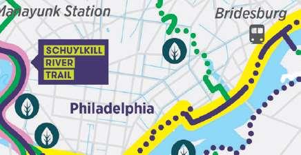
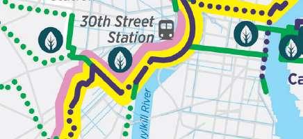


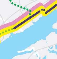


 11. SEPTA Bus Route 125-Moore Road Route Map

SEPTA BUS 125: Route Map
1
2. USGS PA Valley Forge Quadrangle