Table of Contents
Introduction
Application & Rezoning Overview
Proposal Summary
Project Team
Location and Policy Context
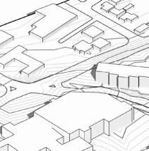
Location and Context
Site Surroundings
Policy Context - OCP
Policy Context – Zoning Bylaw
Housing Policy
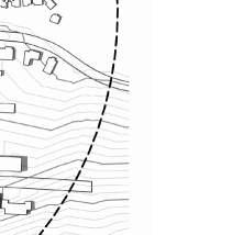
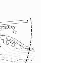
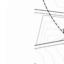
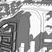
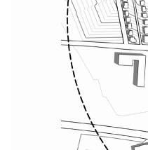
Environmental and Riparian Development Permit Areas
Neighbourhood Context
Response to OCP and Bylaw Guidelines
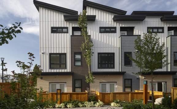
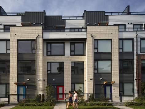
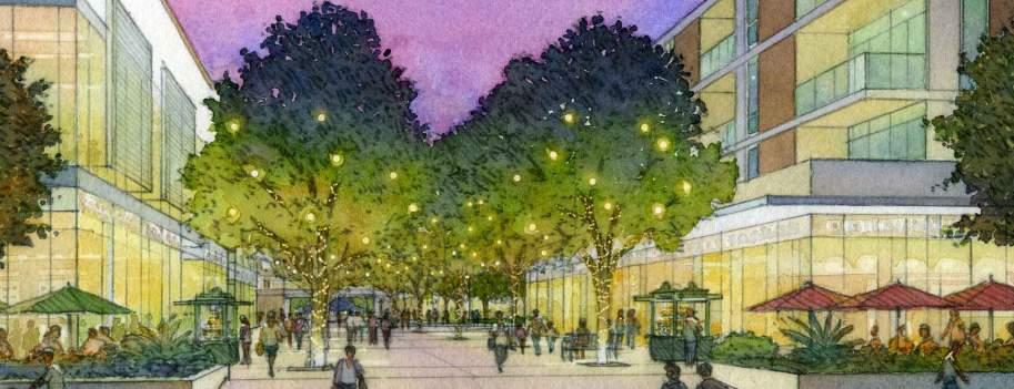
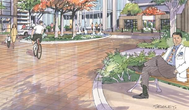
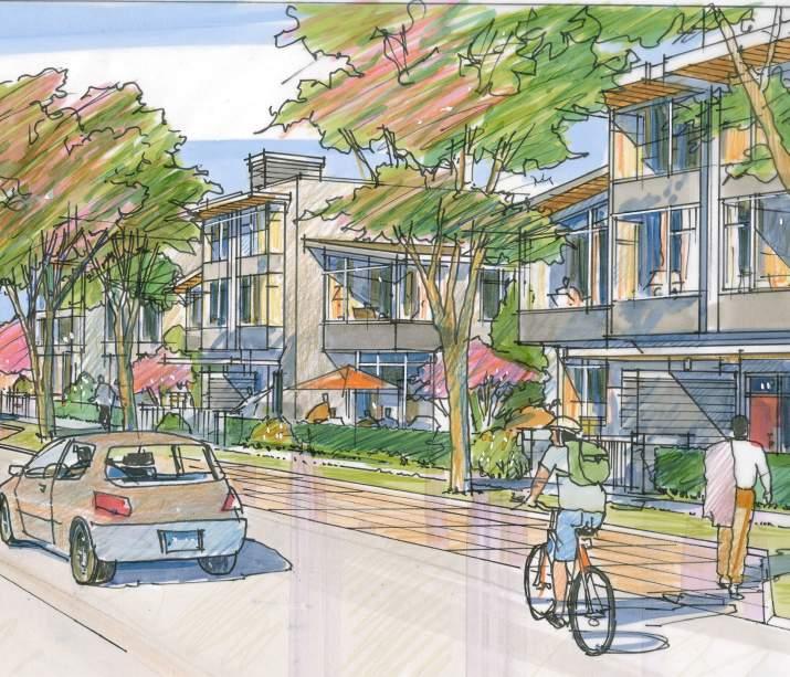
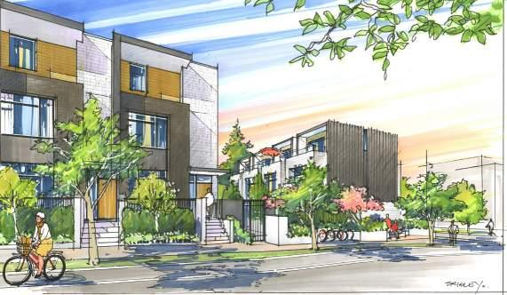
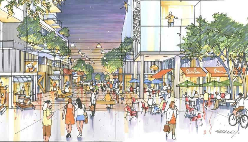
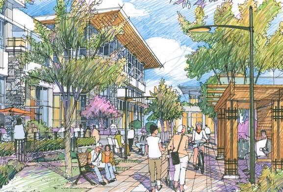
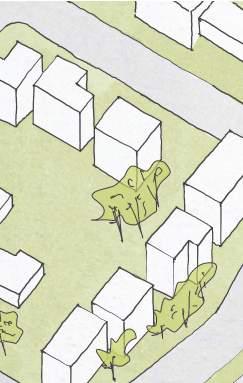
Precedent Community Imagery
Proposed Development and Plans
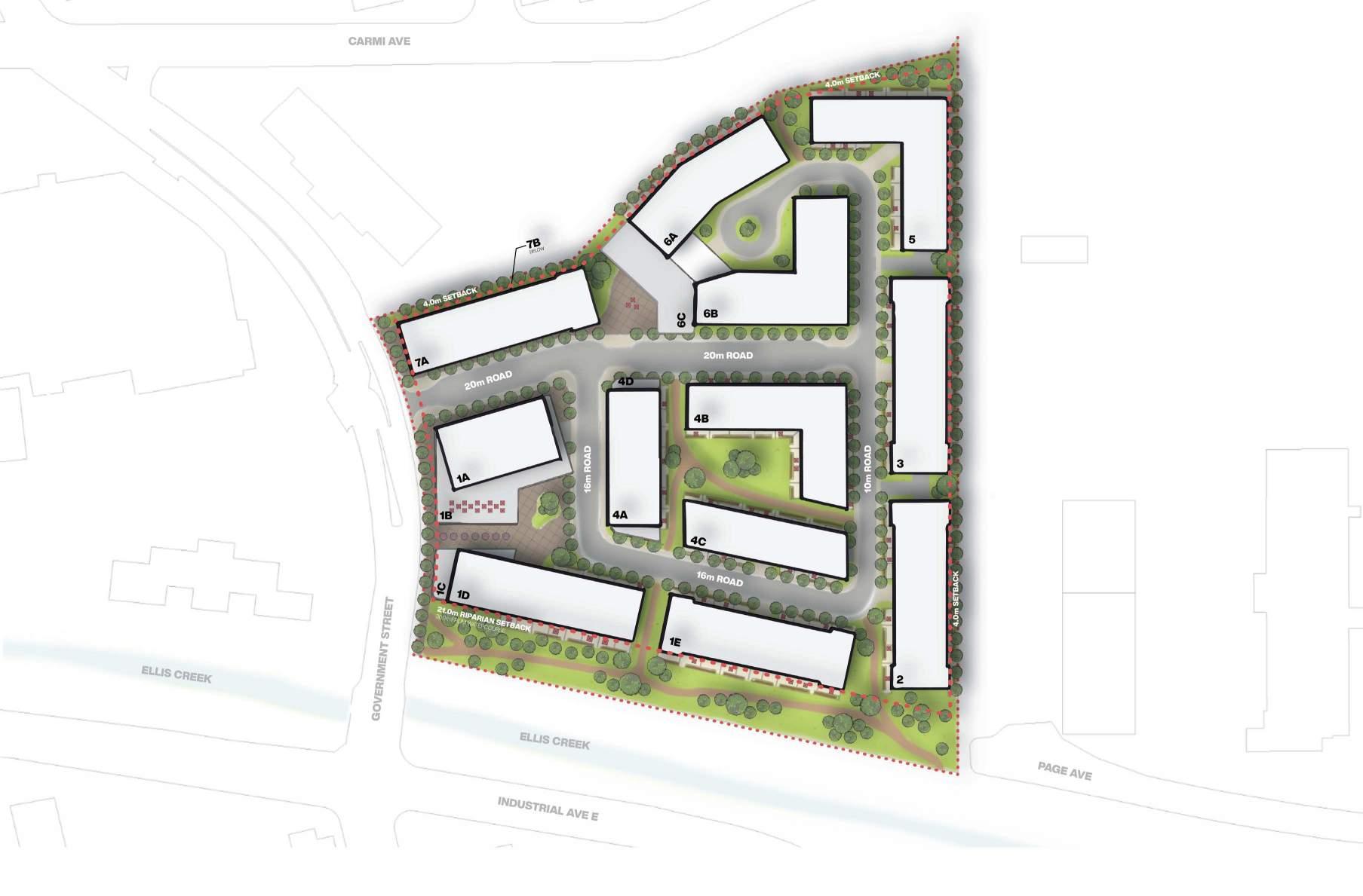
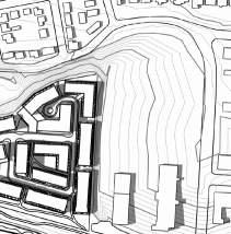
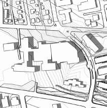
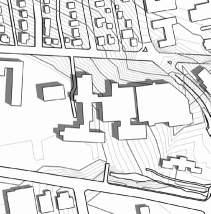
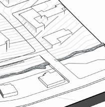
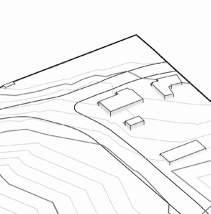
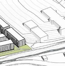
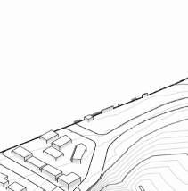
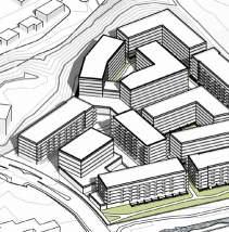
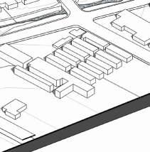
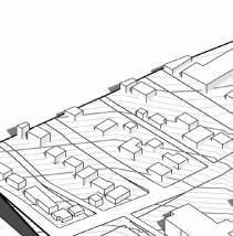
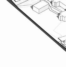
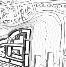
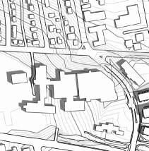
Overall Site Plan
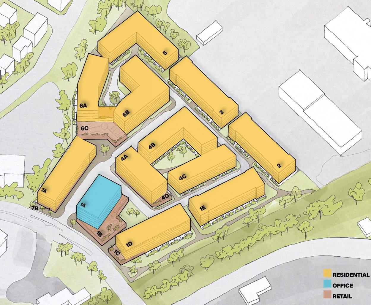
Basic Programmatic Massing + Typology
Basic Programmatic Height
Preliminary Shadow Studies
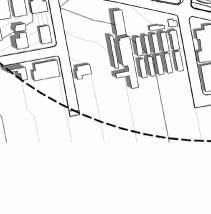
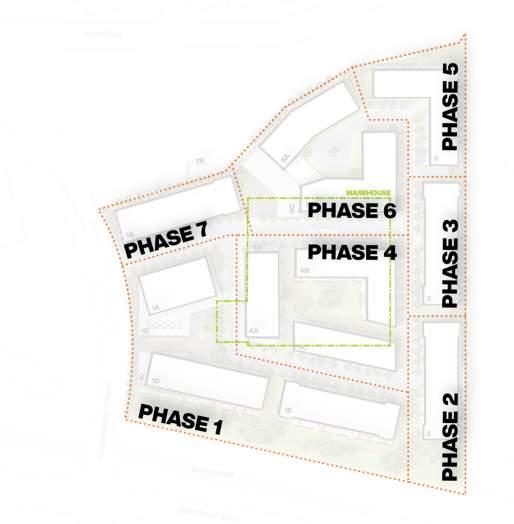
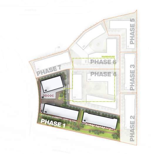
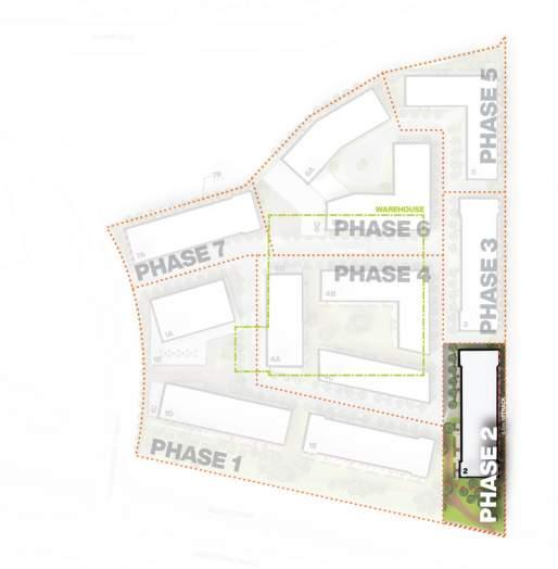
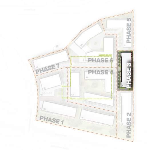
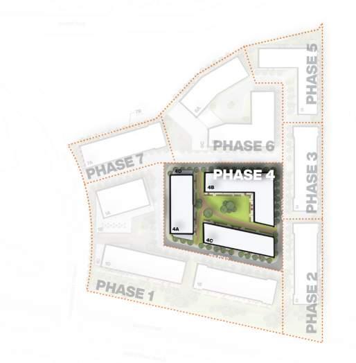
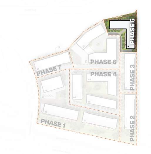
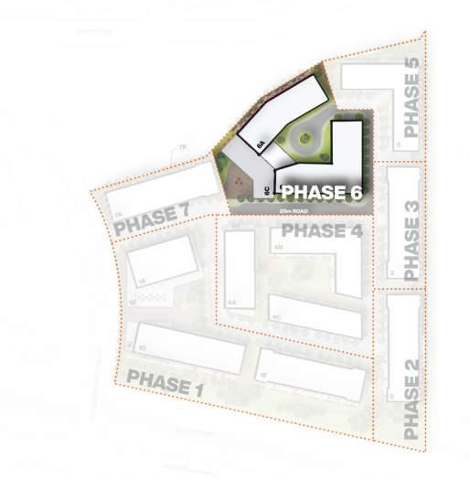
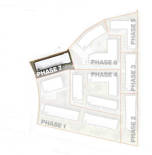
Site Phasing Plans
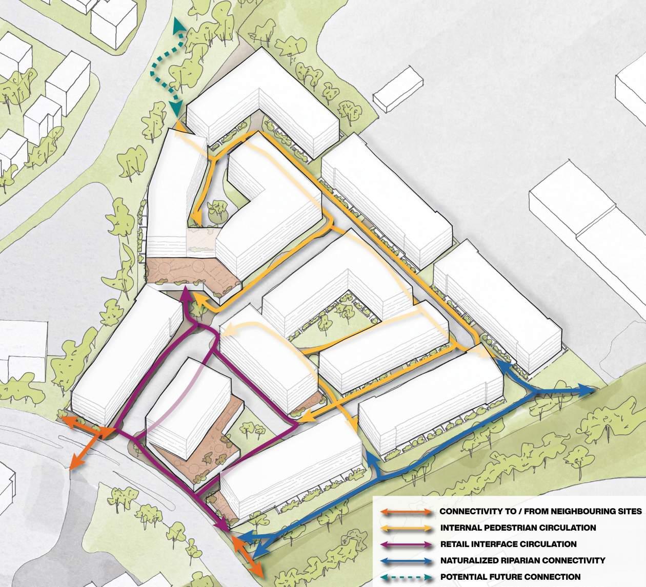
Pedestrian Connectivity
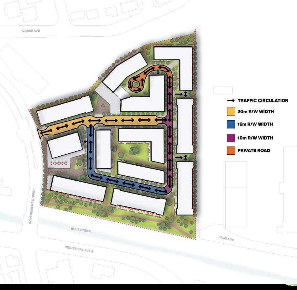
Traffic Circulation and Roads Appendix
Preliminary Transportation Review (Under Separate Cover)

Executive Summary
Application Overview
Proposing rezoning from industrial to mixed use on a 10 acre site in central Penticton. The site will address Penticton’s goal in increasing housing stock and residential density. The mixed-use site proposes ground level retail, a mid-rise office tower and between 12001500 units depending on housing demand, which will be assessed based upon need as the project progresses due to the long term nature of master planning and scale.
Not only will this new development support the City’s goals in the Regional 2020 Housing Assessment, but also pair well with the adjacent Penticton Regional Hospital as both a community hub for retail amenities and live-work proximity improvements for staff. The goal of the development is to respond to the OCP vision of sustainable community growth. The timeline for redevelopment on this site will respond to that vision as informed in conjunction with market demand.
The rezoning proposes a minimum site density of 2.5 FAR with a max height that will respect the adjacent hospital flight paths, subject to review and approval with IH.

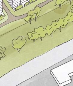
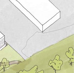
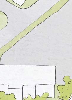
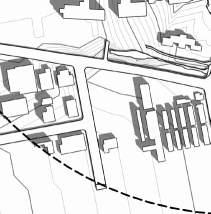
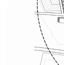
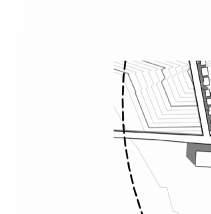
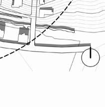
The site also looks to integrate with the adjacent Ellis Creek riparian zone by respecting this as a green belt and increasing pathway connectivity for all members of the community.
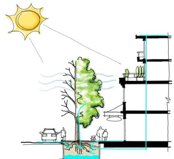
The development will respect the single family and industrial adjacencies through design measures including building design & orientation and acoustical treatment, as required by phase. Examples of this design treatment to separate use would align with the OCP’s principles of functional use of landscapes, including screening and buffering using planting material and fencing that respects a natural palette to minimize visual impacts.
Project Vision
The project will re-envision this key site into a new Health and Innovation District which leverages this key location within Penticton and plays off the energy and employment of Penticton Regional Hospital (PRH). Stryke seeks to create a comprehensive development that will combine medical oriented retail and office space, with residential uses including rental, and market condo, to deliver a complete community. This community will have it’s own energy, one that is based on a synergistic relationship of the uses on site.
Proposal Summary Design Rationale
The site lends itself to Mixed-Use typologies with the opportunity to line Government Street with retail frontages, filling a current gap in the neighbourhood for a centralized, community and retail hub. The goal is also to introduce residential density to the area in place of the current industrial use and place retail and office uses close to the energy and employment of PRH.
The Ellis Creek riparian zone, directly south of this site, helps to inform building mass and orientation. By respecting the riparian zone, it allows the opportunity for the residential buildings to run parallel to this green space and take advantage of a southern exposure. Taller buildings are located to the southern bboundary of the site, to respect the flight path for the adjacent hospital.
Public Benefit
The Penticton Regional Hospital is directly across the street and had a recent $300m expansion, completed in 2022. The proposed mixed-use typology would not only provide potential housing options for hospital employees, but also retail options for employees and visitors alike. The retail spaces proposed for the site have the potential to create 90+ jobs opportunities, and the office spaces could host over 200 employees.
The retail and office nodes also help to create a more sustainable and walkable community for the residents of the site, and would create more jobs within the neighbourhood area.
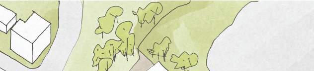
This location can become a hub between Penticton’s two lakes by creating a human scaled public realm on the western property border. It would bring connected paths and droughtresistant landscaping to a site that is current hardscaped and lacking pedestrian porosity. The site would provide additional public sidewalks, in particular widening the public realm where it interfaces with government street, and provide a tie in to the pathway system along Ellis Creek

Team
ARCHITECT:
Arcadis Architects (Canada) Inc.

1353 Ellis St Unit 202
Kelowna, BC V1Y 1Z9
T 250-980-3432
Contact: Lauren Macaulay, Architect (AIBC) Director
lauren.macaulay@arcadis.com
OWNER:
Stryke (Okanagan) Investments Inc.
12095 No. 2 Road, Richmond, BC V7E 2G2
Contact: Rocky Sethi Development Manager
Location and Policy Context
Location and Context
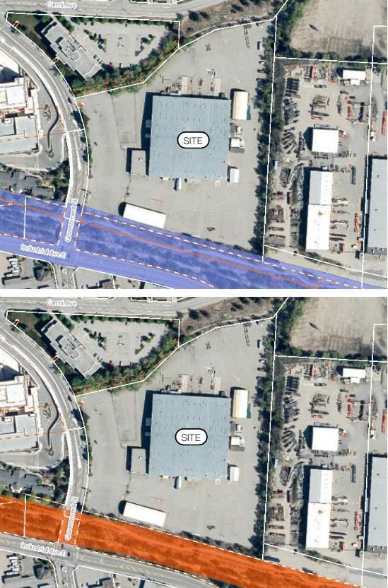
Site Description
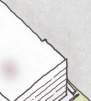
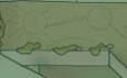
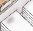
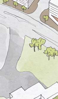
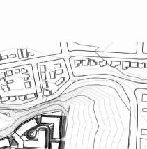
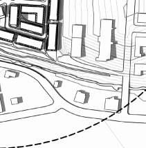
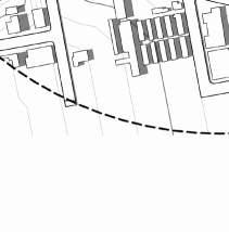
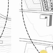
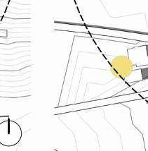
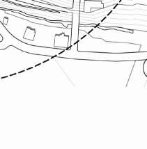
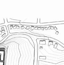
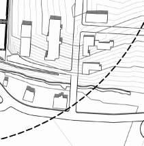
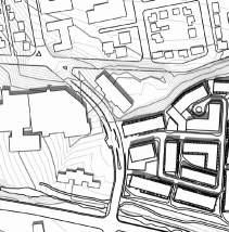
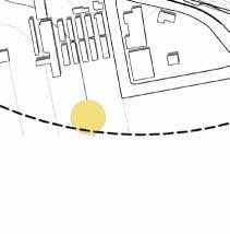
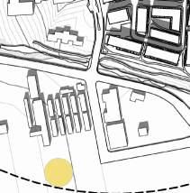
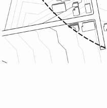
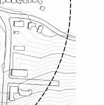
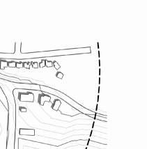
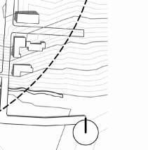
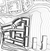
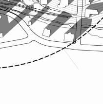
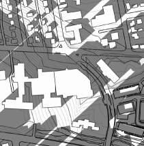
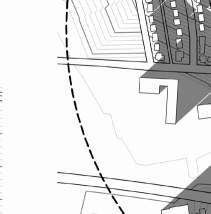
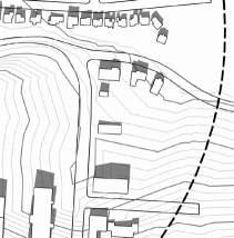
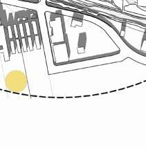
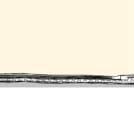
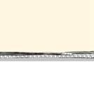
The 10 acre site at 1704 Government Street is located between the Carmi neighbourhood to the north, Penticton Regional Hospital to the west, and industrial areas to the south and east. It is approximately 1.5 km south of downtown Penticton, in the centre of the city between Lake Okanagan and Skaha Lake. Ellis Creek and an associated walking trail run along the south edge of the site.
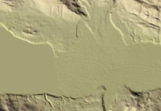
The site is currently comprised of a large industrial warehouse and surface parking lot. The site has a flat topography within the property boundaries, with a significant elevation gain outside the property line to the north, towards Carmi Ave, and an elevation drop to both the eastern and southern borders.

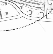
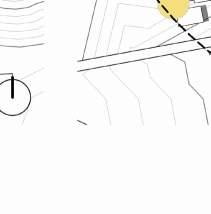
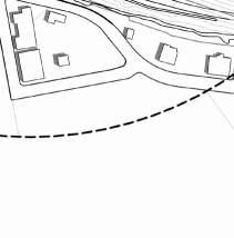
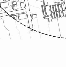
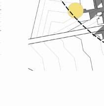
Penticton Airport Flight Path
The site does not fall under the Penticton Airport flightway.
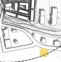
Penticton Regional Hospital Flight Path
This site is directly across from the Penticton Hospital and will maintain that the top of all buildings will not interfere with the flight path, to be agreed upon with IH.
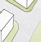
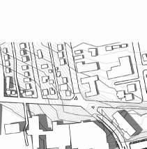
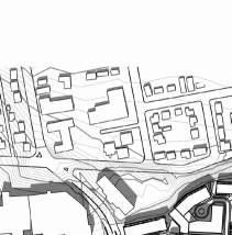
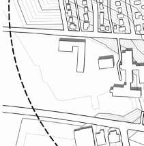
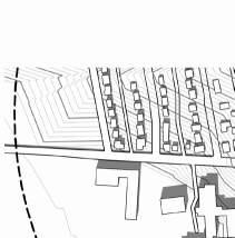
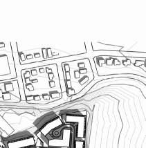
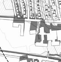
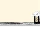
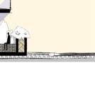
Site Surroundings

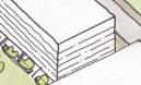
As Penticton grows, new housing has been proposed, approved, and built in all areas including north and south of the site. The immediate surroundings include a stable residential neighbourhood in the central Carmi area.


Notably, the neighbouring community has evolved to include medical office space, housed within the residential community, particularly along Carmi Ave.


The adjacent hospital underwent a $300M expansion which was completed in November 2021.
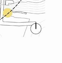
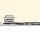
 View of Government St. facing Penticton Regional Hospital View of the 740 Carmi Ave, fronting onto Government St.
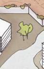
View of the residences north of the subject site
Mountain view facing west from Carmi Ave north of the site
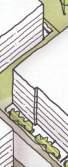
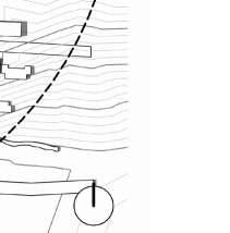
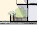
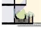
View of walking trail along Ellis Creek
View of Government St. facing Penticton Regional Hospital View of the 740 Carmi Ave, fronting onto Government St.
View of the residences north of the subject site
Mountain view facing west from Carmi Ave north of the site
View of walking trail along Ellis Creek
Policy Context - 2045 Official Community Plan
Overall Plan
Adopted in 2019, Penticton’s Official Community Plan Bylaw 201908 guides land use and planning decisions.
Land Use
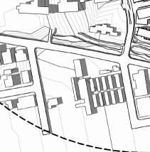
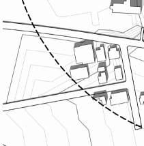
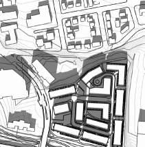
The subject site is currently designated as Industrial Land per the OCP land use plan. It is the northwest edge of the industrial area surrounding Ellis Creek at the centre of the city, with Institutional and Civic uses to the west and a mix of commercial and residential uses to the north.
The site does not fall within the Downtown Development Permit Guidelines areas or Hillside Development Permit Areas.
Response to OCP
This application seeks to redesignate the designated land use from Industrial to Mixed Use using a Comprehensive Development zone in align with policy 4.1.3.1. encouraging a higher level of density around a high employment and service based area. The proposed uses are retail, residential, and office/healthcare.
The proposed direction will allow the site to continue its role as employment lands, and will complement the hospital site with nearby medical offices and healthcare services or research centers. This concentration of healthcare uses will enable efficiencies for the health related industries co-located here. Additionally bringing in retail spaces will allow for the reintroduction of plazas and green space connections for the residents and the general public aligning with policy 4.1.6.2 .
LEGEND
Commercial
Urban Residential
Mixed Use
Natural Conservation Areas
Parks
Penticton OCP Future Land Use Plan
The large site permits a comprehensive, integrated land use plan that will expand the adjacent residential and nearby commercial uses onto the site. This will strengthen the urban fabric of the central area of Penticton, and provide a community node outside of downtown. The new commercial will offer shops and services to healthcare workers and nearby residents, as well as serving the new, growing population. The introduction of multi-unit residential housing in this area will create a compact, efficient use of land that promotes affordable living and offers a variety of housing choices including family housing, ground-oriented residences. Providing this diversity in housing options allows for first time home buyer options as well as options for downsizing as per policy 4.1.3.4.

Policy Context - Zoning Bylaw No. 2023-08
Schedule B - Land Use Classifications
Adopted in 2023, Penticton’s zoning bylaw contains the following designations for the subject site:
• M1 General Industrial
C4 General Commercial
Development Regulations
M1 General Industrial regulations
This zone provides for a mix of general and light industrial uses.
Height Max. 15m
Min. Front Setback 6.0m
C4 General Commercial regulations
This zone provides for shopping centres, large format retail, and strip commercial uses.
Height Max: 13m
Density Max: 1.0 FAR
Min. Front Setback: 3.0m
LEGEND
Rezoning Proposal
This application proposes to rezone to a Comprehensive Development site that will allow a mix of commercial, residential, retail, and open space uses on the site.
The form of development will follow precedents from the surrounding developments and fit the scale of a mid-town community hub. The setbacks will be consistent with General Commercial regulations. The additional height proposed on site is to support the need for mixed use development in this area, allowing for adequate residential to meet proposed housing needs. The overall addtion to building height allowance will have a low impact on the adjacent sites, and respect the neighbouring sites and hosptial flight path by concentrating 12 storey heights to the south.
Proposed heights: 4-8 Storeys Mixed across site with potential to build up to 12 Storeys - subject to discussion with IH.
Proposed density: 2.5 - 3.5 FAR

M1 General Industrial
C4 General Commercial
M2 Heavy Industrial
P2 Parks and Recreation
P1 Public Assembly
C1 Commercial Transition
Penticton Zoning Bylaw Classifications
C3 Mixed Use Commercial
RD1 Duplex Housing
RSM Mobile Home Park
RM2 Low Density Multiple Housing
RM3 Medium Density Multiple Housing
No Zoning Subject Site
Housing Policy
2020 Housing Needs Assessment
The 2017 Housing Needs Assessment identifies a number of priority needs for the City of Penticton. A summary of these includes the need to create more affordable units, enhance the stock of rental housing, introduce more smaller units, and facilitate the development of under utilized lots for housing.

Per the data reported in the assessment, the neighbourhood (described as Killarney/Penticton Ave in the report) saw a decline of population from 2006-2011. The Pentiction median household income is around $54,000. There has been declared an extreme need for a wider range of housing options such as smaller type units offered within condo buildings. However, over 60% of homes in the neighbourhood are detached, and only 1/4 are apartments. Overall the neighbourhood has been fairly static for the past several decades, with over 75% of homes being built prior to 1980. These statistics indicate that the stock of housing available may not be best suiting the residents needs, and that more options including affordable units, rental tenure options, and different types of homes may better serve current and future residents.
Plan Response
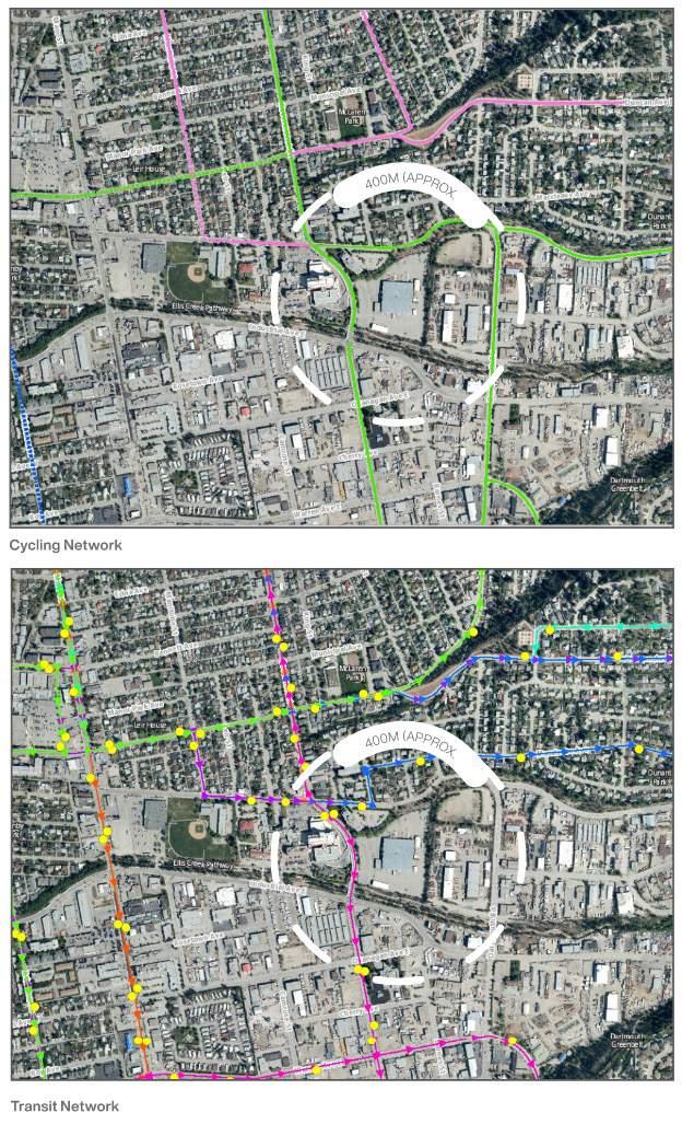
The 10-acre site is located in a central area in close proximity to transit and active transportation networks throughout Penticton. It is an ideal location to introduce much-needed housing that is well served by amenities and will enrich the neighbourhood.
The site will address the Housing needs by providing a mix of unit types. The addition of retail space will improve services and amenity available to residents of the site.
The development will provide between 1200-1500 residential units based on demand and assessment of housing needs as the project progresses.