North York Moors Mountain Biking
CLASSIC MOORLAND TRAILS
 Tony Harker

Tony Harker
First published in 2008 by Vertebrate Publishing. This second edition first published in 2023.
Vertebrate Publishing, Omega Court, 352 Cemetery Road, Sheffield S11 8FT, United Kingdom. www.adventurebooks.com
Copyright © 2023 Tony Harker and Vertebrate Publishing Ltd.
Tony Harker has asserted his rights under the Copyright, Designs and Patents Act 1988 to be identified as author of this work.
A CIP catalogue record for this book is available from the British Library.
ISBN 978-1-83981-192-0
All rights reserved. No part of this work covered by the copyright herein may be reproduced or used in any form or by any means – graphic, electronic, or mechanised, including photocopying, recording, taping, or information storage and retrieval systems – without the written permission of the publisher.
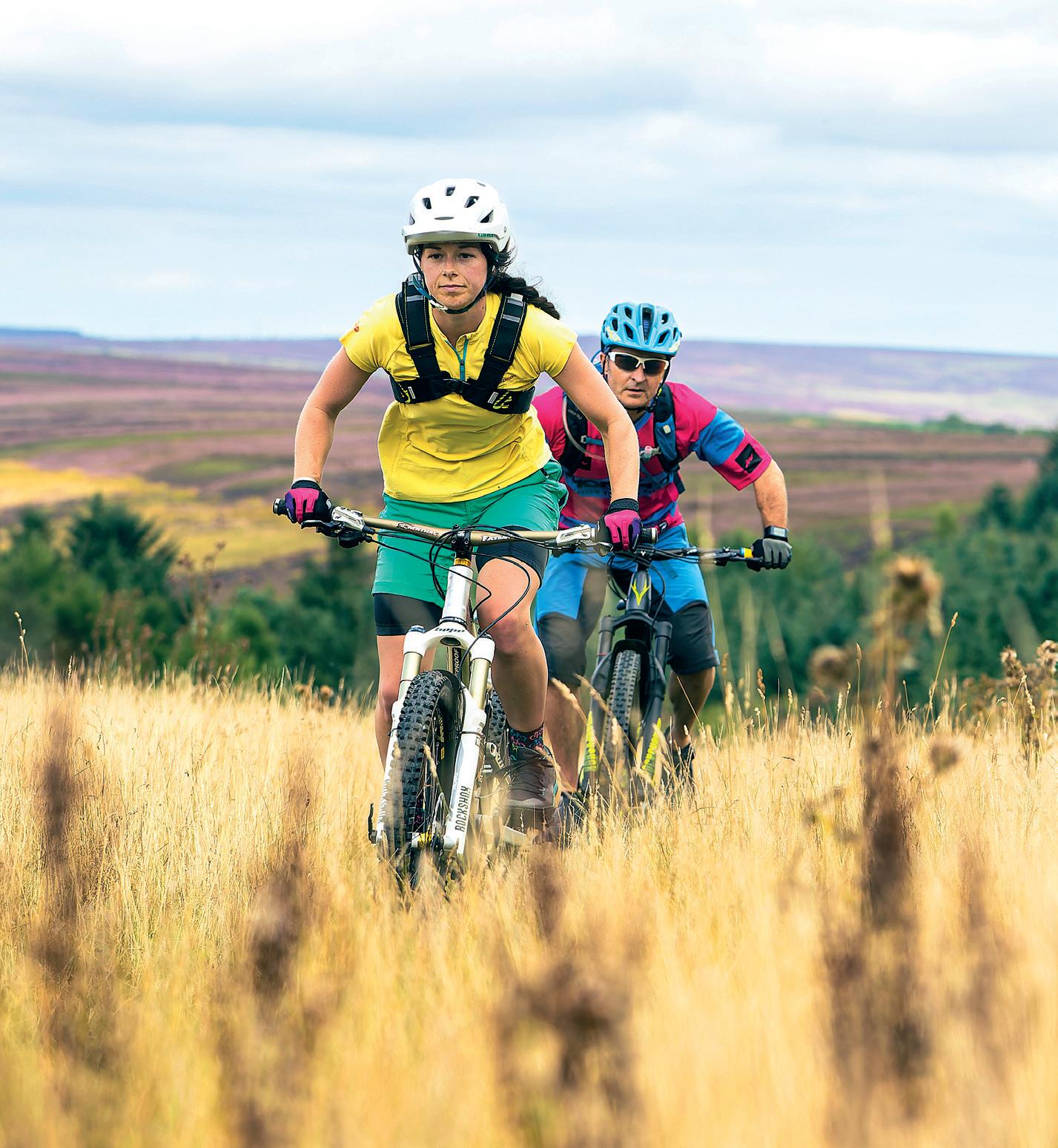
Front cover: Emily and Mike heading towards Goathland © Russell Burton. Back cover: On the trails over the moors. Photography by John Coefield, unless otherwise credited.
All maps reproduced by permission of Ordnance Survey on behalf of The Controller of Her Majesty’s Stationery Office. © Crown Copyright. 100025218.
Design by Jane Beagley, production by Rosie Edwards, Vertebrate Publishing. www.adventurebooks.com
Printed and bound in Europe by Latitude Press.
Vertebrate Publishing is committed to printing on paper from sustainable sources.
Every effort has been made to achieve accuracy of the information in this guidebook. The authors, publishers and copyright owners can take no responsibility for: loss or injury (including fatal) to persons; loss or damage to property or equipment; trespass, irresponsible behaviour or any other mishap that may be suffered as a result of following the route descriptions or advice offered in this guidebook. The inclusion of a track or path as part of a route, or otherwise recommended, in this guidebook does not guarantee that the track or path will remain a right of way. If conflict with landowners arises we advise that you act politely and leave by the shortest route available. If the matter needs to be taken further then please take it up with the relevant authority.
PLEASE GIVE WAY TO HORSES AND PEDESTRIANS.
Bank
Hawnby
Rosedale
Farndale
Big Country
Circuit
21
Danby & Pannierman’s Causeway 18km 5 Pinchinthorpe 14km 11
Swainby & Sheep Wash Loops 19km 15
Roxby Circuit 21km 23 Kildale Ring 22km 29
Horcum Loop 27km . . . . . . . . . . . . . . . . . . . . . . . 33
Danby & Glaisdale Circuit 27km . . . . . . . . . . . 37 Hutton-le-Hole & Farndale 27km 43
Sneck Yate Bank 23km 49 Clay Bank & Bransdale 27km 55

Rosedale Abbey Circuit 26km 65
Blakey Bank Circuit 33km 71
Black Hambleton & Hawnby 31km 77 Hutton-le-Hole, Farndale & Rosedale 39km . . 83 Rosedale & Fryup 35km 89
Ravenscar – Big Country 37km 95
Goathland Circuit 37km 101
Helmsley Circuit 38km 107
The Seven Dales 62km 117
The Best Western 76km 127
Bonus section
Pickering–Levisham/Goathland
. . . . . . . . . . . . . . . . . . . . . . . . . . . . . . . 144 Sutton
20

A quick blast after work, a night loop you can finish before your lights die, or a ride to squeeze in when you’re short of time. That’s a classic. Relatively low on distance and never taking you too far from the start, these are still good, solid rides. Short but not necessarily easy.


The moors are home to many ancient paths or causeways, sometimes known as ‘trods’. The Pannierman’s Causeway is one of these and although there is only about 200 metres of the ancient pathway exposed, it offers riders an unusual section of singletrack. Thought to have been laid by monks in the twelfth century, this causeway is one of many on the moors used by monks and their packhorses while travelling from settlement to settlement to trade.
Predominantly off-road, this route offers a variety of track riding, most of which is simple to follow, making it easy to enjoy the views across to Fryup and Danby Dale from the bridleway above Castleton Pits. Our route begins by following the Esk Valley towards Commondale. We bypass Commondale using a bridleway that cuts up to the road, but we could continue into Commondale for refreshments at the Cleveland Inn. From the road, the route turns east and on to the sandy track towards Gerrick Moor, where a little more road brings us to the Pannierman’s Causeway. The best bit of the route, it is a stretch of ancient, paved singletrack with views straight ahead towards Danby Rigg. A fine bridleway leads us around the edge of Castleton Pits, before a rough doubletrack downhill leads to a quick tarmac blast back to the car park.

Turn R out of the car park and follow the road into Danby village. At the crossroads go SA on to the road to Castleton and follow this for 700m. After the road bends right before heading downhill to the left turn R uphill on to a driveway. Turn immediately L off the driveway on to a doubletrack bridleway with a wall on the right.
2 Follow this bridleway west to Danby Park woods ignoring two forks to the right. Pass through the gate into the woods, on to a muddy track for 550m and through another gate out of the woods. Follow this track with a fence and then a wall on the left and go SA through two more gates, over a cattle grid and to the Castleton road. Take care here and be sure to be ready to stop. You cannot check for traffic until you are right up to the road.
3 Turn R uphill for a short lung burst and then at the first bend turn L on to a bridleway with a wall on the left. Follow this fast, hard track past Box Hall as far as a second set of buildings and bear R at the fork up another short climb to the woods. Go through the woods and continue for 160m where the walls open out.
4 Turn R uphill to a gate with a Bridleway sign (opposite a gate on left with Footpath sign and before the gate at the next wall). Pass through the gate on to a wide grassy track keeping the wall to the left. The track becomes a more defined singletrack. After 180m cross a ditch and the track starts to bear more to the right and steeply uphill to a single gate in the wall on the horizon. (Top right corner with wire fence.)
5 Pass through the gate and turn R on to singletrack with a little pavement. After 50m the track bears left away from the wall on to a wide doubletrack. There is a boulder here on each side of the track. (SA would lead you into a bog!) Follow to the road.
6 Turn R on to the road and continue to the T-junction. Continue SA on to another bridleway that begins with broken tarmac changing to sandstone further on. As you climb over the first brow the view to the NE opens up over towards Boulby potash mines and the North Sea. Continue on this track past Siss Cross Hill to the Danby road.


7 Turn R at the road and then after 650m at the brow of a hill turn L on to a narrow tarmac lane. Follow this lane for 600m into the ‘saddle’. A Bridleway sign on the left marks the point where the bridleway crosses the road. Turn R on to the Pannierman’s Causeway singletrack in a shallow gully and follow this track as it bears first SW and then S towards Clitherbeck Farm. This track soon becomes pavement and leads on to the bridleway near the farm. Watch out for the ditches at the end of the pavement and just before the farm.
8 Turn L on to the bridleway and continue SA ignoring the right turn to the farm. At the bottom where the track bears right (footpath) leave the track and go SA picking up a singletrack to the right of a shallow gully. Stay on this track to rejoin the main track after 170m. Turn L and follow to road. At the road go SA to T-junction.
9 Go SA through the gate opposite and down a wide, rough doubletrack, walled on both sides. Turn R at the bottom on to a narrow lane and follow this under the railway to another junction. Turn R and follow the road back to the car park.


This route epitomises all the North York Moors have to offer: there are fast gravel tracks, technical climbs and descents, legburning road climbs and brakeburning descents; there’s a ford to cool you down and long hills to heat you up, with a high viewpoint at the end to survey the whole route!
We follow the road through Danby and Ainthorpe climbing up to Ainthorpe Rigg, and take the singletrack bridleway over the Rigg. Eroded ruts make this a difficult and technical ride to the far edge, but two rock steps at the top and a sweeping singletrack drop into the Little Fryup Valley make it all worthwhile. A long road climb leads to the bridleway around the head of Fryup. Mostly wide singletrack, this is best ridden when dry, as it gets very soft in wet weather and it gets more interesting as it becomes rockier on the far side. A long downhill on a firm track along Glaisdale Rigg leads us into the village and a ford over the River Esk. We follow the lane to Lealholm Side and the gravel track over Lealholm Moor to Danby Beacon. We finish with a steep tarmac drop back to the car park, but don’t forget that there is a junction at the bottom. This is squeaky brake time!


Turn R out of the car park and follow the road into Danby village. At the crossroads turn L. Cross the bridge into Ainthorpe and turn L along a lane signposted Fryup
2 Ignore first bridleway on right after the village and pass the tennis courts taking the next bridleway on the R at the road bend. Multiple tracks lead to a gate. Go SA at a gate and follow the eroded track over Ainthorpe Rigg. 1km after the gate keep SA and follow the track down a descent (technical at first with an easy run-out to the road).
3 Turn R at the road signposted Rosedale and stay on the road for 4km. Turn L on to a bridleway through a gate signposted Glaisdale 6 miles. Follow the bridleway past Trough House and eventually on to rocky singletrack around the head of Fryup, joining the Glaisdale/Rosedale road at the other side.
4 Turn L on to the road. After 1.6km at a left-hand bend go SA on to a wide, firm bridleway signposted Glaisdale 2 miles. Stay on this track for 4km to reach a double gate and then continue for 500m on a tarmac lane into Glaisdale.
5 Go SA at a crossroads. After 500m, as the lane curves to the right, go SA (signposted Lealholm) down doubletrack to a ford. (There is a bridge to the left if needed.) Turn L after the ford on doubletrack bending right on to a broken tarmac track over a railway bridge and up a steep climb to a farm. After the farm stay on the tarmac lane to reach the road junction at Lealholm Side.
6 Turn R at the junction then turn L at the next junction signposted Oakley Walls. After 500m when road bends left go SA on to a wide stony bridleway. After 400m turn L at a junction. Follow this track for 2.5km to the road at Danby Beacon.
7 Turn L on to the road signposted Danby. Turn R, and then turn L at the bottom of the hill to return to the car park.


Get ready for one of the best singletracks on the moors, followed by one of the most technical, demanding downhills. When that’s all over, we can catch our breath in a tranquil setting with stunning scenery all around. If that’s not enough, we get the best section of the old Rosedale railway to ride towards the end of the route.
We leave Rosedale Abbey, heading north up the dale to Hill Cottages. Turning off here, we climb Sturdy Bank to the road at the top for a short ride on tarmac to the paved causeway and a few technical drop-offs over Glaisdale Moor. After appreciating the breathtaking views over Fryup Edge, we work our way down a rocky descent into the basin below. If we’re going to stop anywhere for
a break this is the place for it! A fast section of singletrack through the dale leads to the road and a long tarmac climb up Danby High Moor. We take a singletrack shortcut across the head of Rosedale to the main road on Blakey Ridge. Turn left on to the old railway shortly after the Lion Inn and follow the railway around the head of the valley. This is the most interesting and testing part of the railway to ride, with sections of singletrack, a steep drop-off, and a couple of technical water (or mud) splashes for us to cross. Then we turn off the railway for a short singletrack descent to Dale Head Farm, cross the valley floor on a narrow lane and pick up the bridleway before Moorlands Farm to ride south through the valley past Thorgill. We finish by turning on to Chimney Bank and dropping back into Rosedale Abbey.


Head north through Rosedale Abbey. 300m after Bell End corner, turn L on to road signposted Rosedale East only. Keep to the road for a further 1km past a double row of cottages to a bridleway on the right just after a telephone box.
2 Turn R on to this firm track leading up the hill. Pass the farm and turn R after the gate on to doubletrack. Follow the track up the hill for 450m to the wall corner. At the corner the track swings away from the wall climbing for a further 400m to a fence corner on the right and sheep pen on the left.
3 At this point the bridleway swings off left but it is very difficult to follow and ride. It is better to stay on the defined track that becomes more firm leading to the road 200m south of the bend at Clough Dike Head. Turn L on to the road for 2km passing a bridleway on the left to reach a point where a bridleway is signposted on both sides of the road.
4 Turn R on to very narrow singletrack. It’s like this for 150m before hitting a paved causeway. Follow the causeway for 1.5km and then more singletrack curving to the right over the moor. The last 100m is through long grass and can be boggy.
5 Turn R on to doubletrack and then after 50m and a cairn turn L on to singletrack. Take care here. After less then 200m the track dips suddenly turning sharp L and becoming very steep and rocky (Slippery when wet; photo on page 88.) Only the skilled will be able to ride this part of the downhill. At the last right-hand bend the track becomes rideable again (for the less skilled) dropping into the valley head.
6 Cross the stream to the left climbing on singletrack to double gate. Pass through the gate and follow wide singletrack down the valley, alongside the wall. Go SA at all gates. After crossing the ford, the next gate leads into a field. Follow the track, keeping the bushes to the left, and going through the next gate with a fence on the right to reach the road.
7 Turn L on the road. Follow the road up the hill to the next junction. Turn L, climbing over the ridge dropping into Little Fryup Dale. Turn L at the next junction shortly after Stonebeck Gate Farm. Follow the road up a stiff climb and over the moor to another
junction above Rosedale (5km after the previous junction). Turn R for 1.7km to meet bridleways on both sides of the road at White Cross.
8 Turn L on to singletrack bridleway across the head of Rosedale. Turn L at the other side of the bridleway on to road. Pass the Lion Inn on right and then turn L 500m after the inn on to firm doubletrack. Turn L after 100m on to an old railway track. Follow this around the head of the valley to the eastern side. At a left-hand bend before a large embankment a bridleway crosses the track leading down to Dale Head Farm. *Turn R here on to singletrack keeping the wall on your right. Follow down to road and turn L.
During or after bad weather, continue along the railway to return to the start.
9 After 450m turn R down a narrow lane. Turn L on to a bridleway 150m before Moorlands Farm. After 50m keep wall to your right and follow the wall around to a gate. Go SA at all gates, joining a lane at Thorgill. Turn L on to Chimney Bank and turn L again after the bridge to return to Rosedale Abbey.
