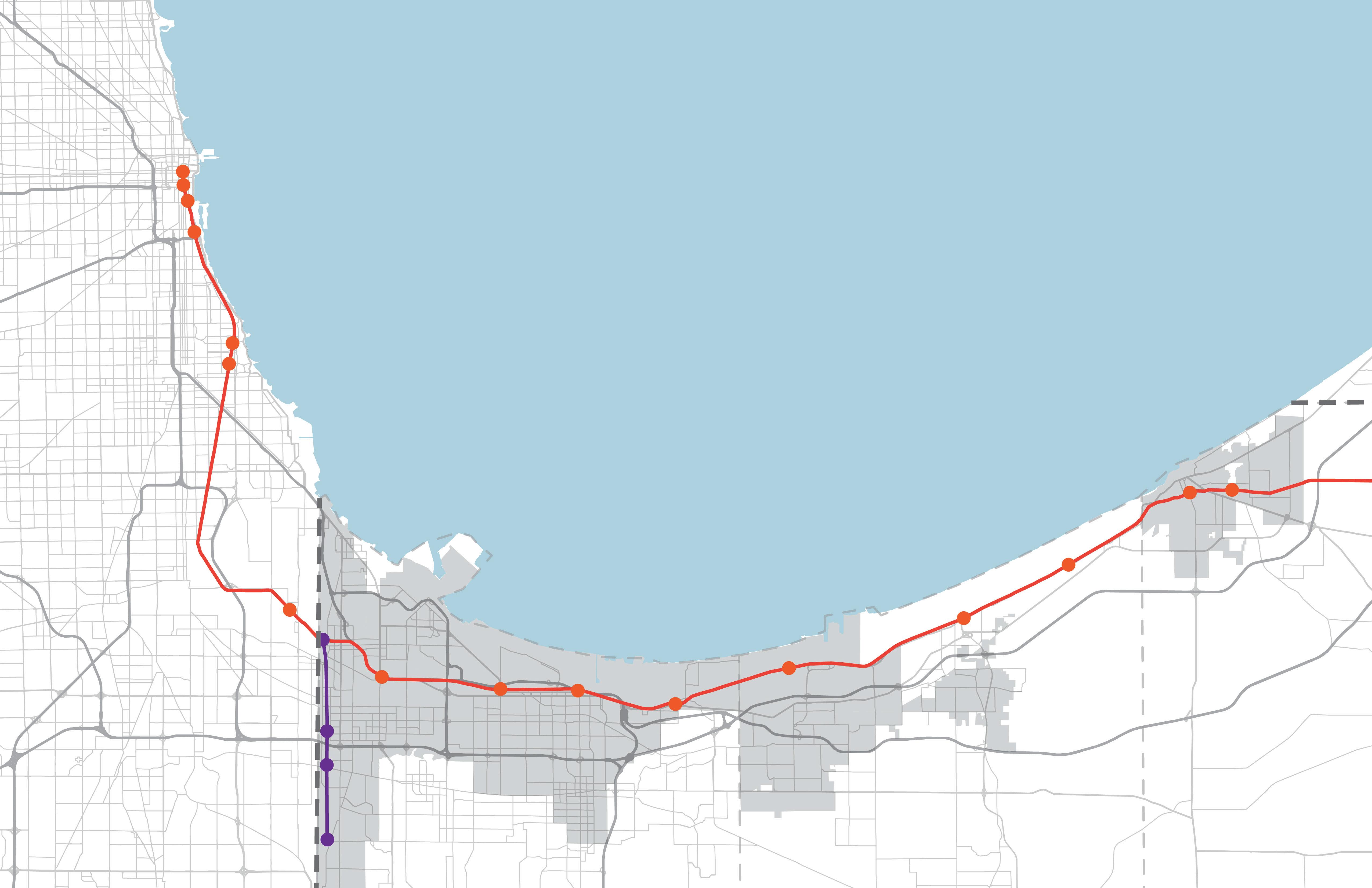
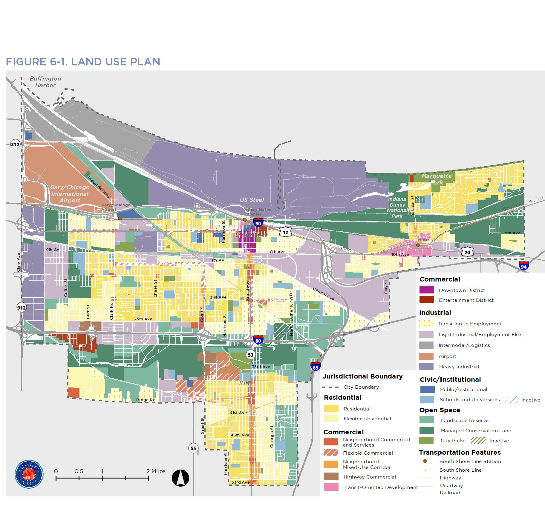
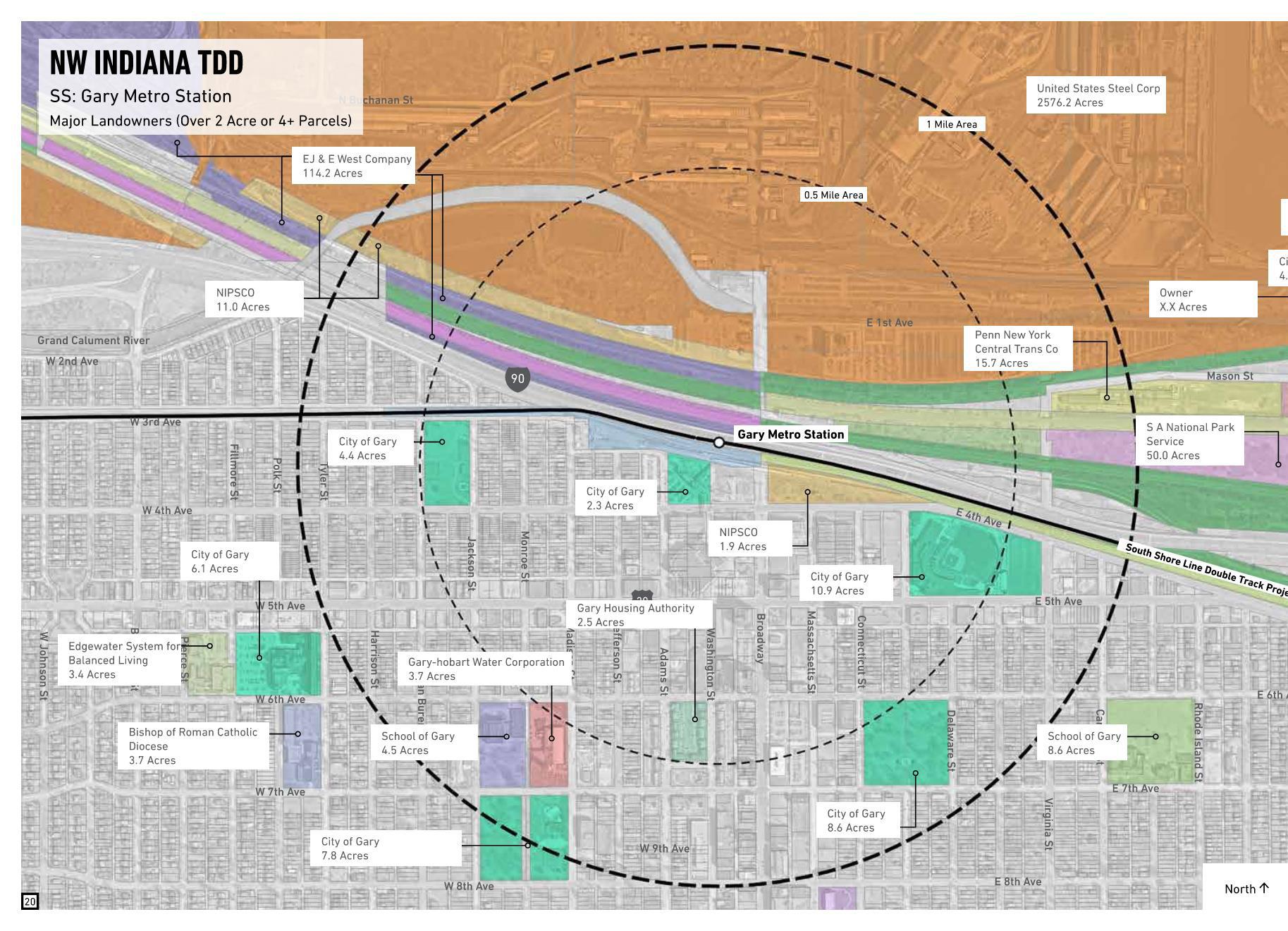
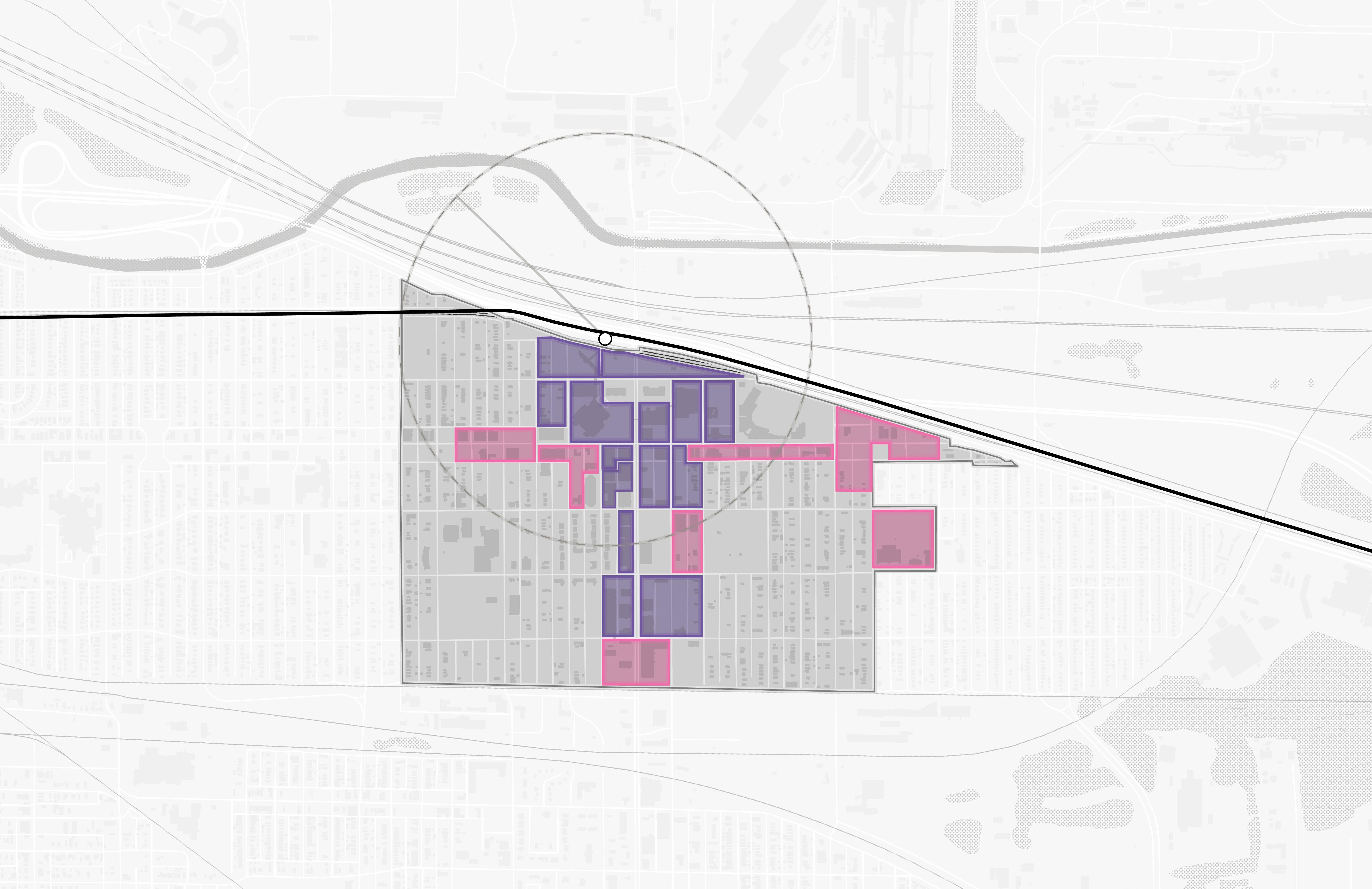
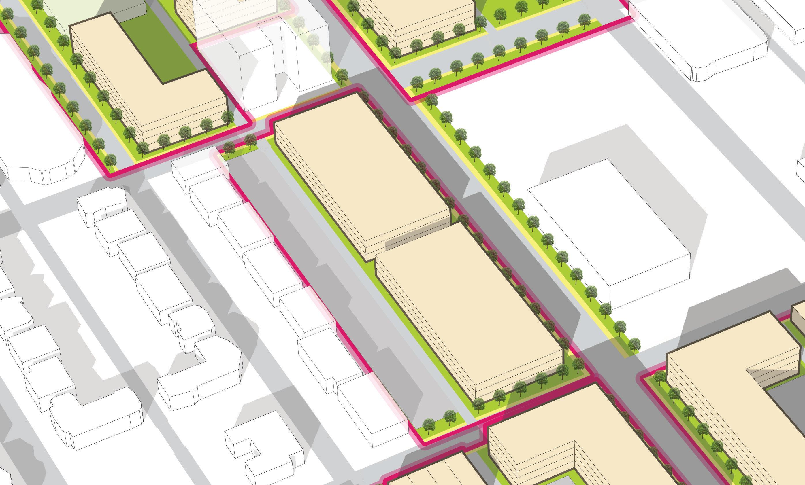
TRANSIT DEVELOPMENT DISTRICT PROPOSED DRAFT BOUNDARY


Gary Metro public engagement session
website


how you can interact during this meeting

09/07/2023

website
how you can interact during this meeting
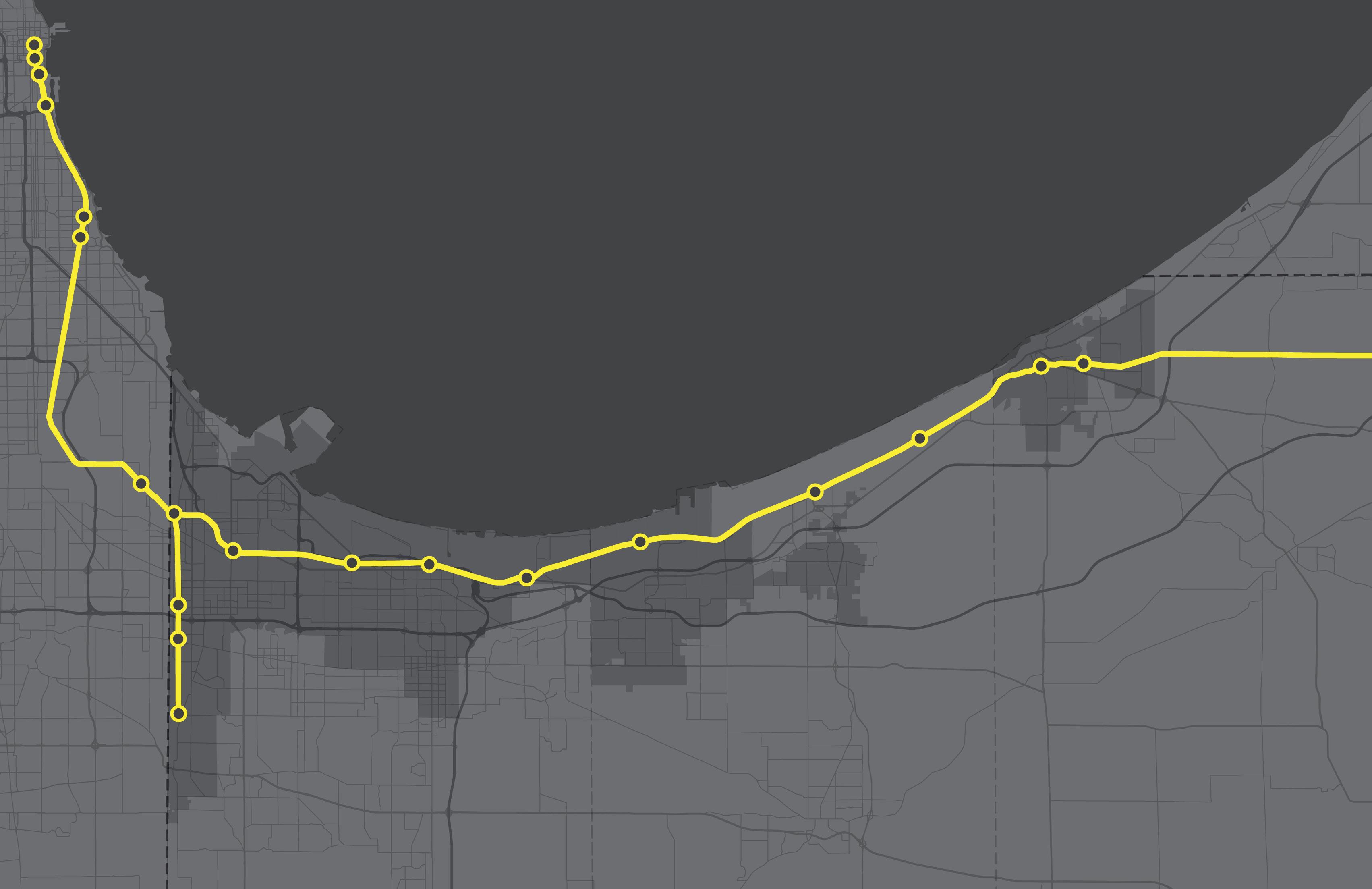
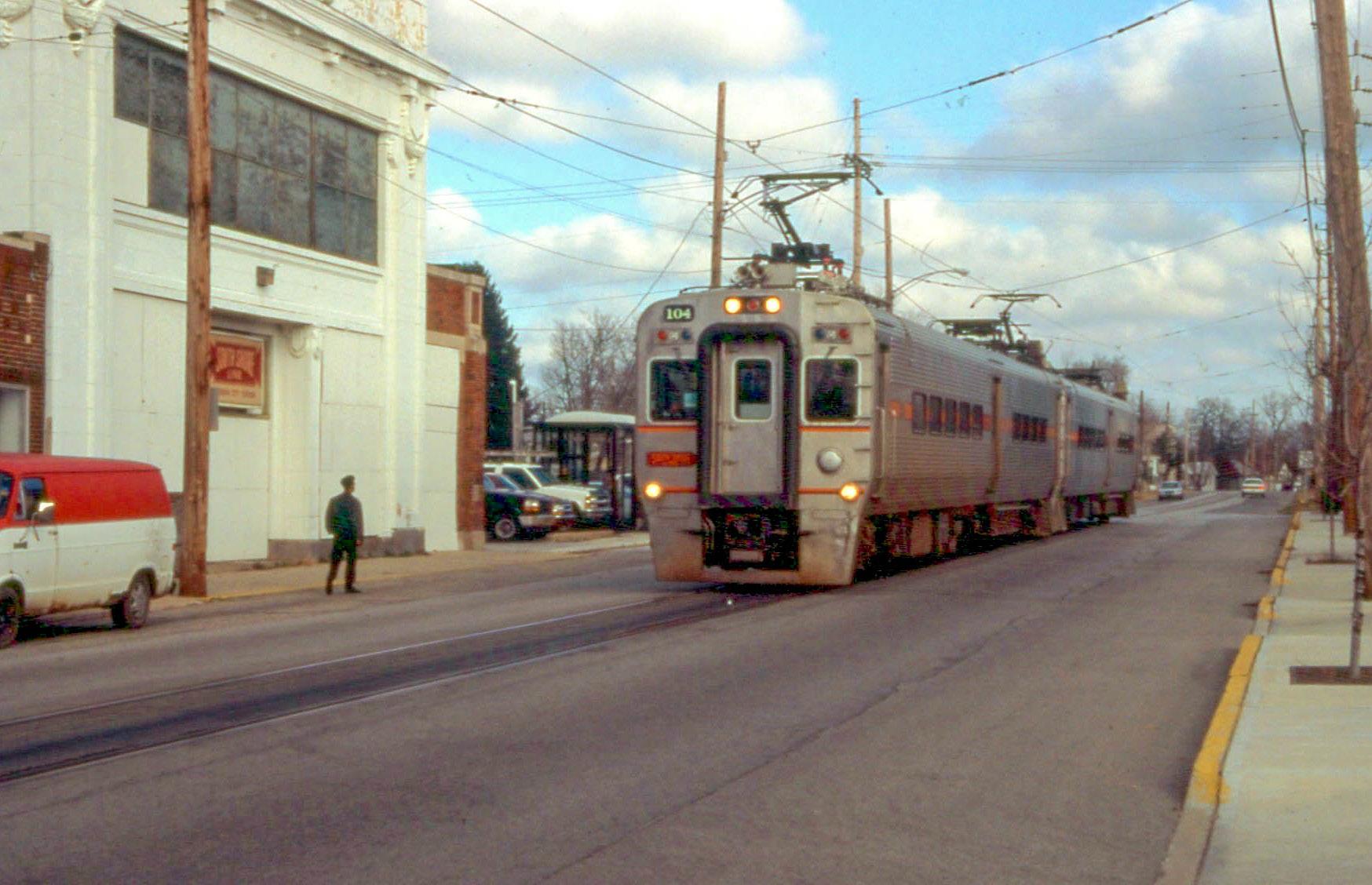
Northern Indiana Commuter
Transportation District
City of East Chicago
City of Gary
City of Hammond
City of Michigan City
City of Portage
City of South Bend
Town of Beverly Shores
Town of Chesterton
Town of Dyer
Town of Munster
Town of Ogden Dunes
Town of Porter
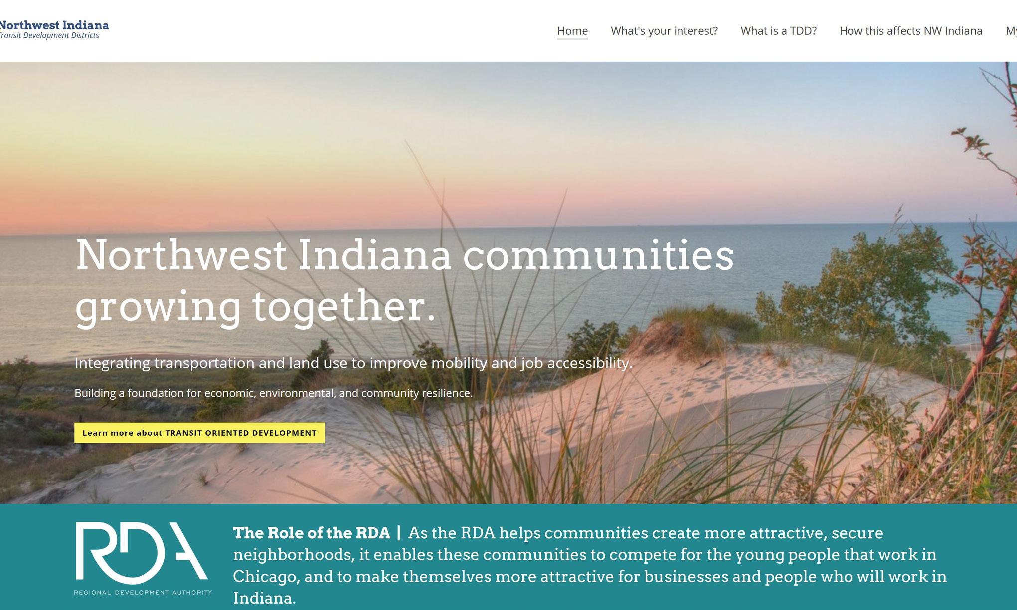
Regional Development Authority
Leading the Project Overall Project Steering Policy and Planning Guidance
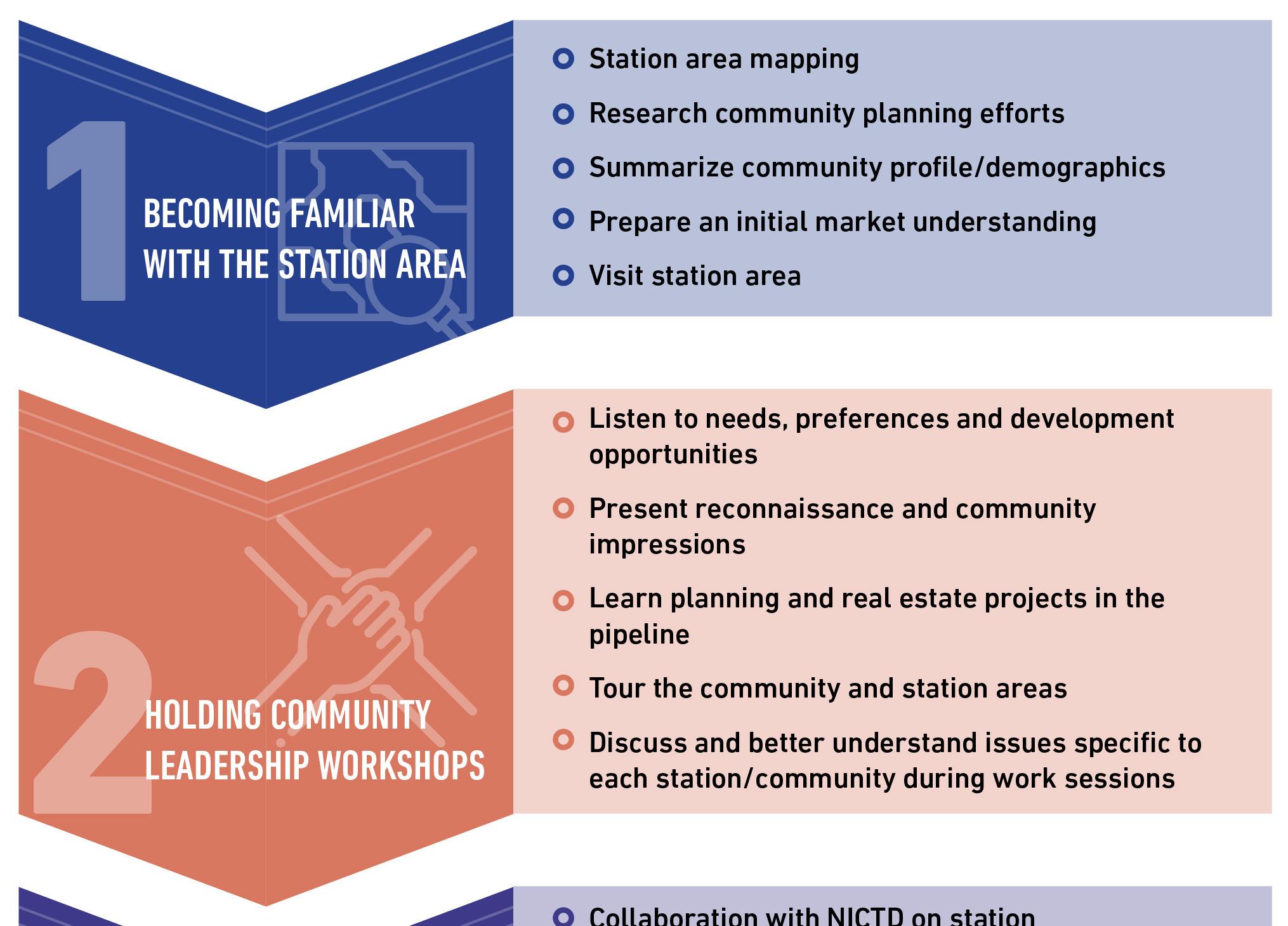
Key steps that RDA will take working closely with each community
• Meet with communities to understand their goals and preferences for growth and development
• Engage with the public through meetings and hearings
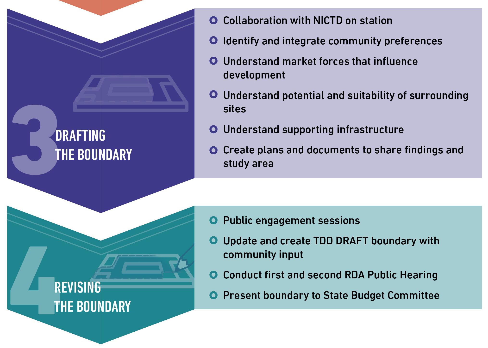
• Collaborate with NICTD on parking and development topics
• Conduct community analysis to prepare preliminary and final transit development district (TDD) boundary
• Identify potential development and infrastructure opportunities
• Shepherd the TDD boundary through the state approval process

Estimated cost: $643M
• 25-mile project area includes 16 miles of new second track, the closing of 20 grade-level crossings in Michigan City, and the elimination of “street running” in Michigan City
• Construction Substantial Completion projected on January 17, 2024
• Revenue Service Date projected on November 11, 2024
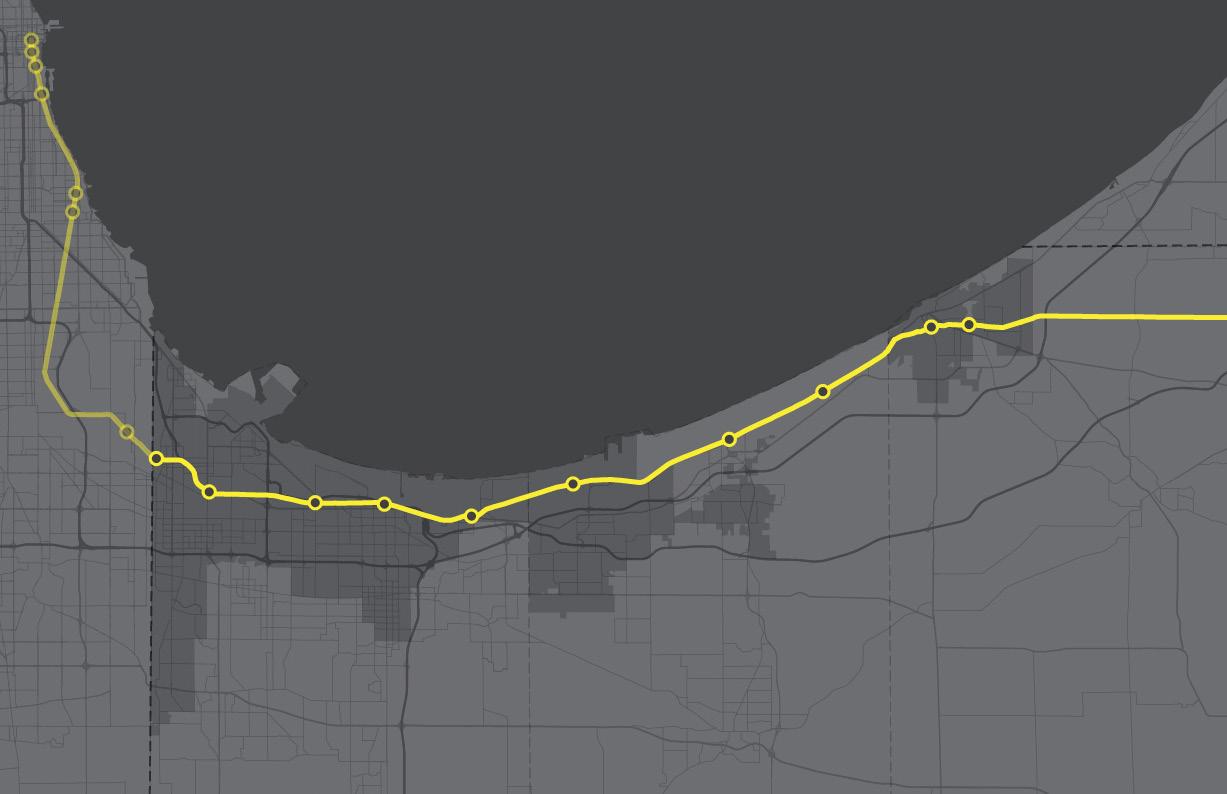
MICHIGAN
CHESTERTON PORTAGE

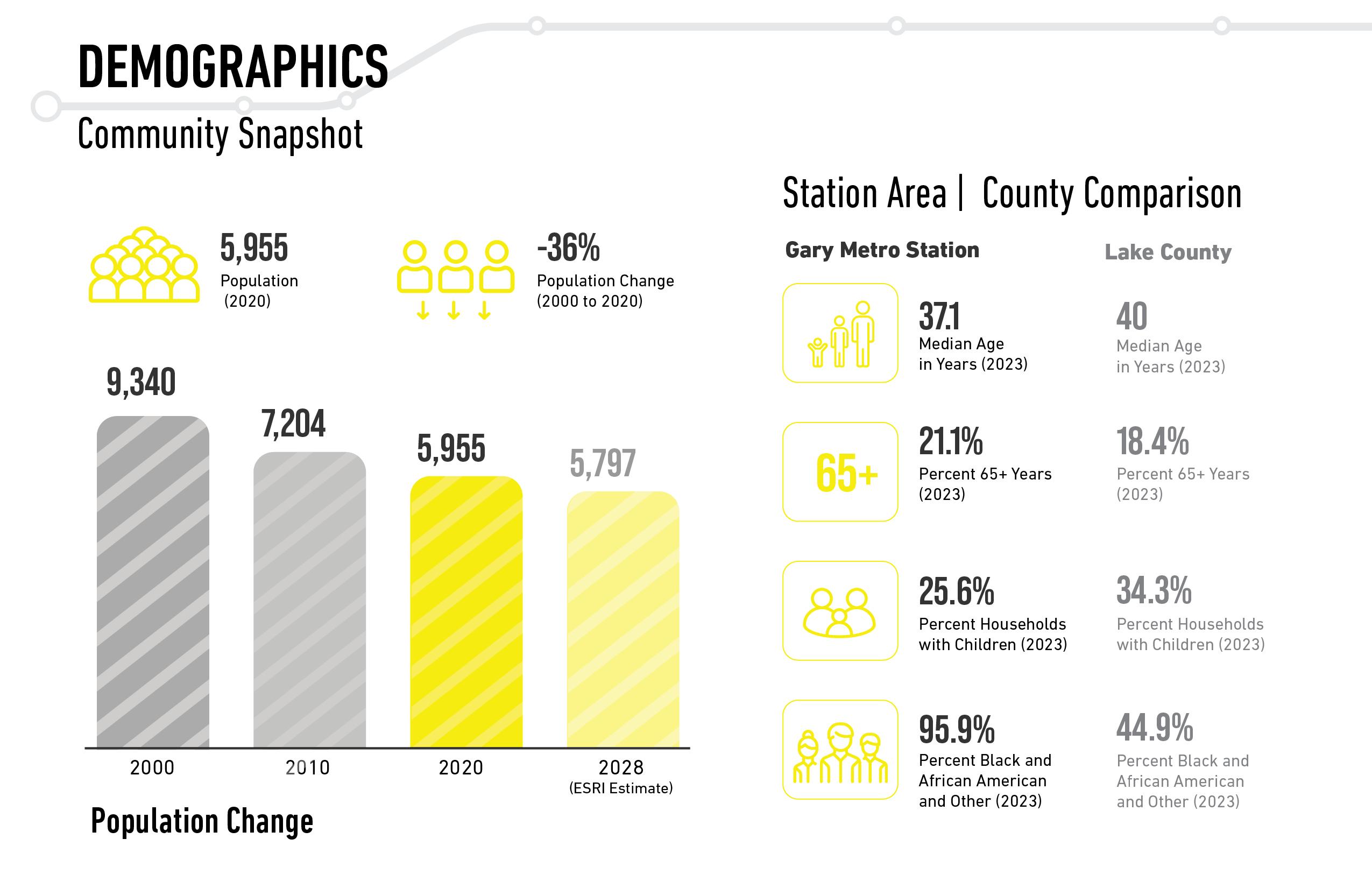
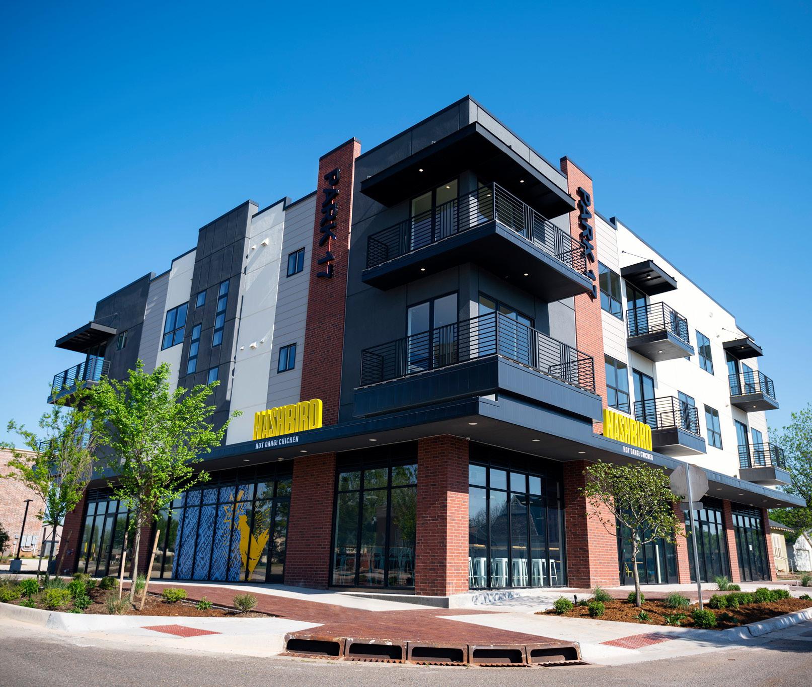
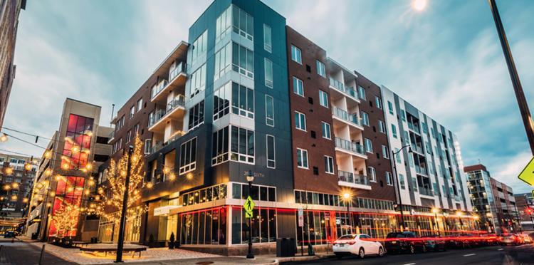
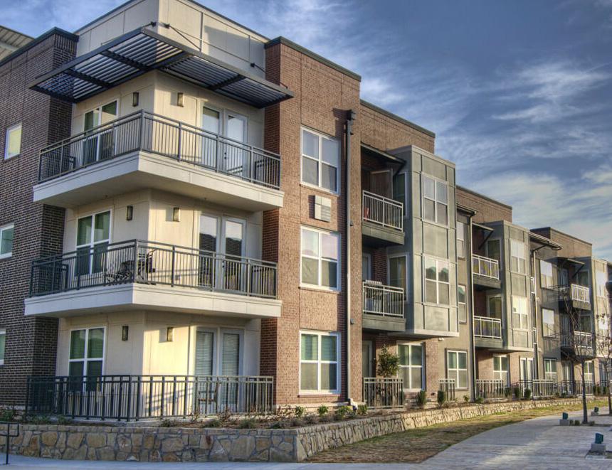
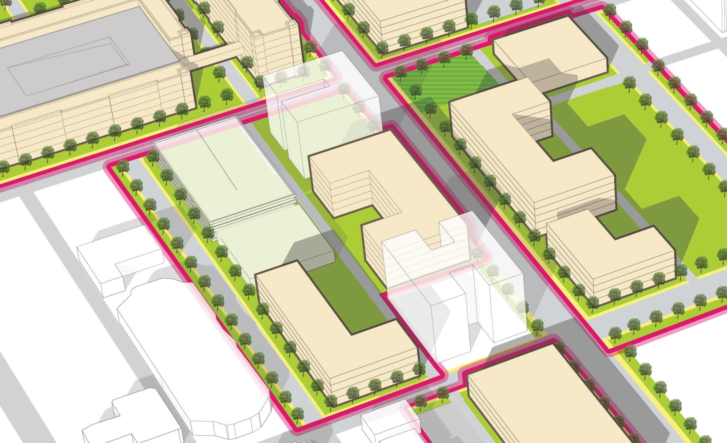
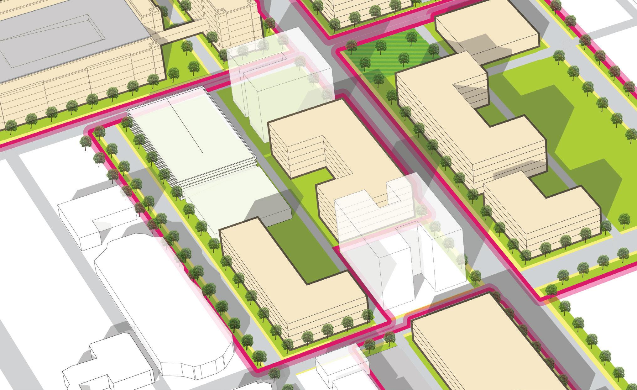
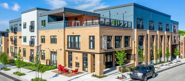
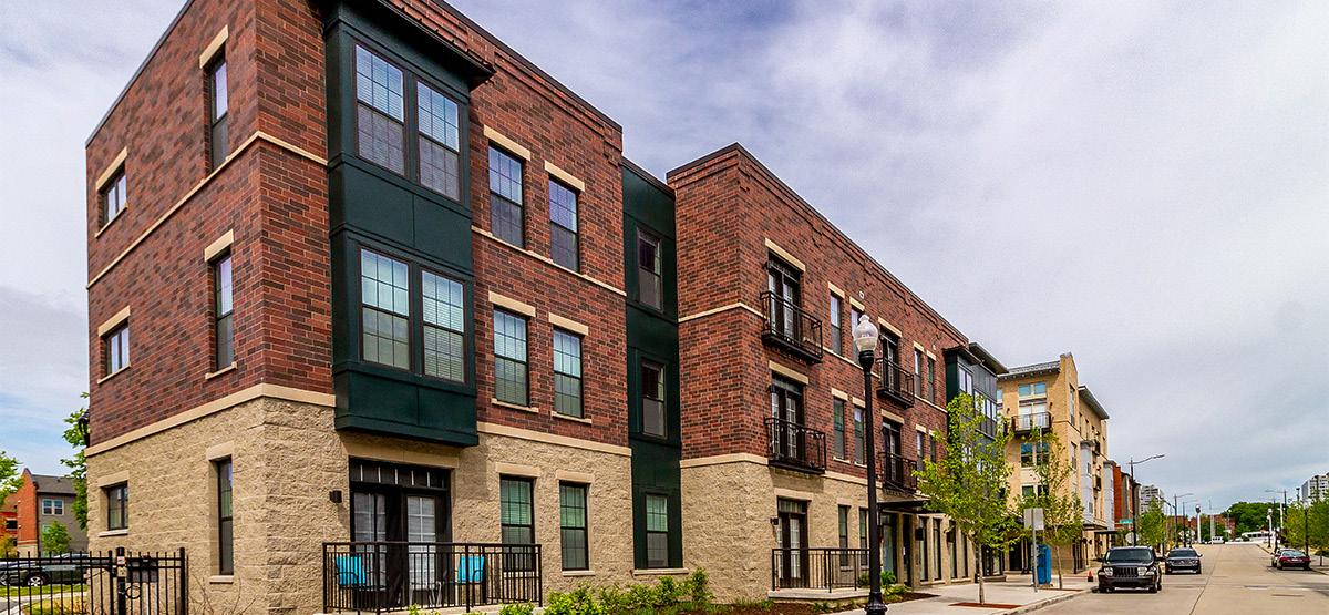
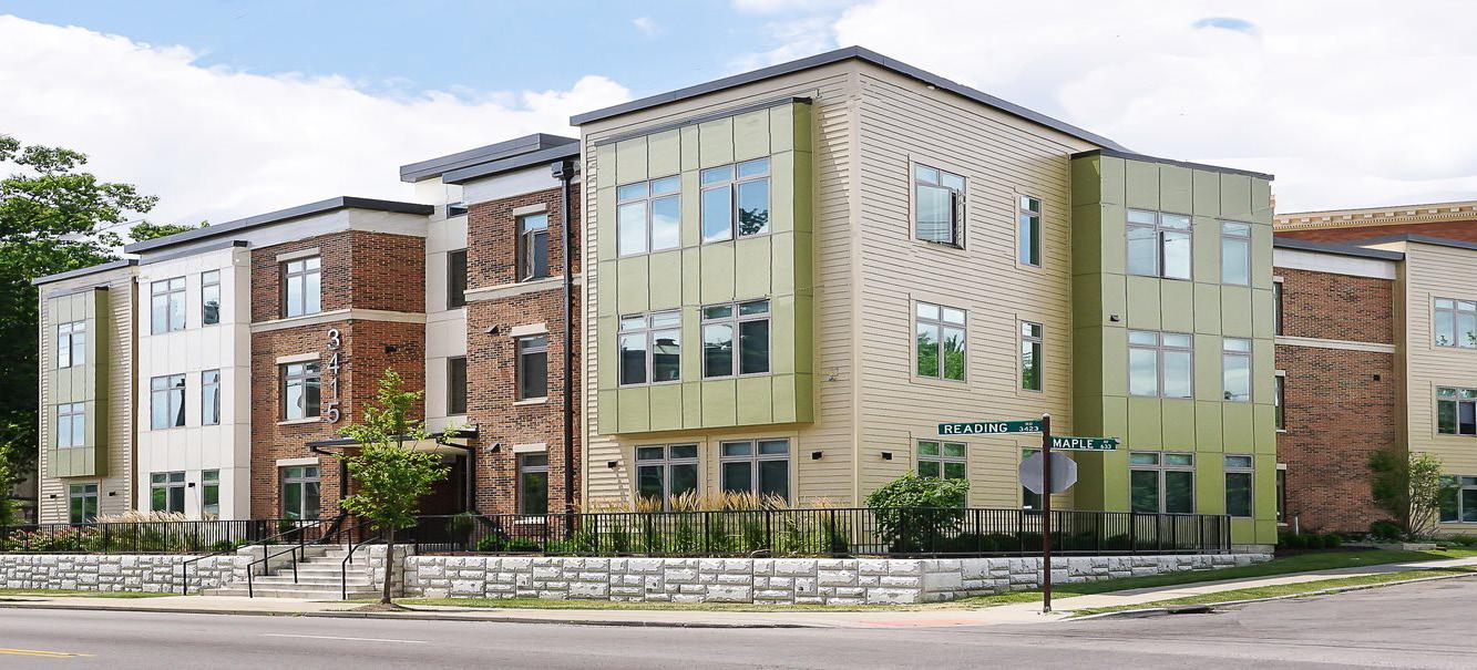
The transit development districts around various suburban train stations in the Chicagoland area have seen significant improvement in real estate development activity since the development/ redevelopment of the station…
Population growth in the 1 mile radius between 2000 and 2020 (estimate). New construction and Real Estate value change are measured in a 1 mile radius between time of TOD reinvestment or construction to August 2020.
1 Transit development district boundary basics
2 Transit development district boundary process
3 Downtown Gary goals, unique qualities and current conditions
4 Gary Metro Station DRAFT TDD boundary
How we will obtain public input
Website - www.nwitdd.com
Find video recording of meetings and Q+A responses, gallery materials, and ability to contact us
what you should know
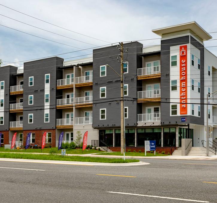
The main focus is on promoting Transit-Oriented Development.
Transit development districts provide economic tools and strategies to support local communities to implement high-quality transit-oriented development. The goal is to create a boundary calibrated specifically for each community based on analysis, areas of opportunity and the goals and visions of the community.
This isn't just a boundary. It complements the economic growth path of communities.
TDD IS...
A 1/2 mile (320 acre) special economic development district approved by the State Budget Committee
TDD IS NOT...
Zoning or comprehensive planning
A city or town-sponsored planning process
Eminent domain
An effort to realize economic development in Northwest Indiana communities
Formed by an analysis process that includes community-wide input, best practices and market analysis
A partnership with developer or realtor
A project designed to gentrify or to create low-income housing
NICTD South Shore Double Track or West Lake rail projects
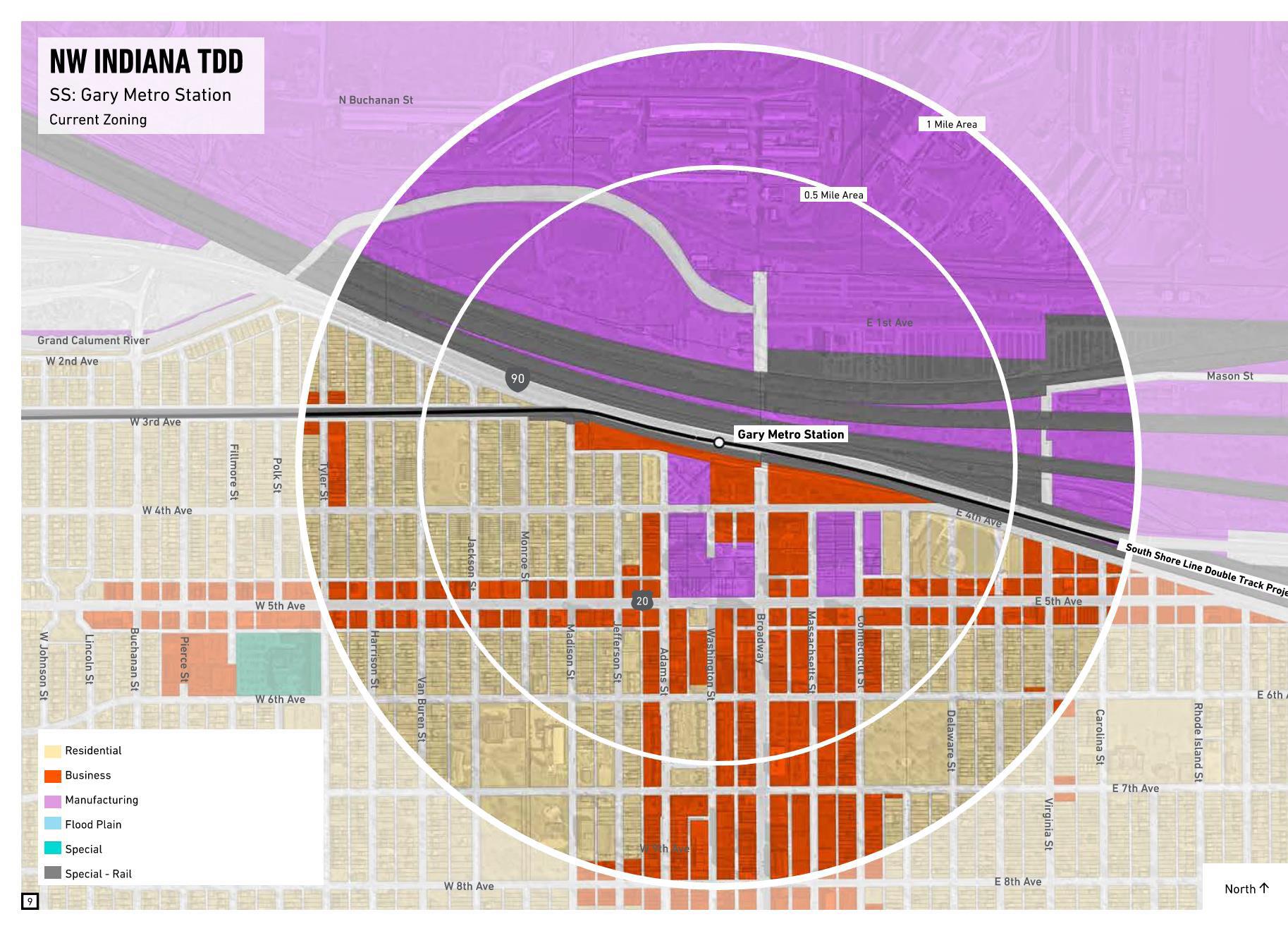
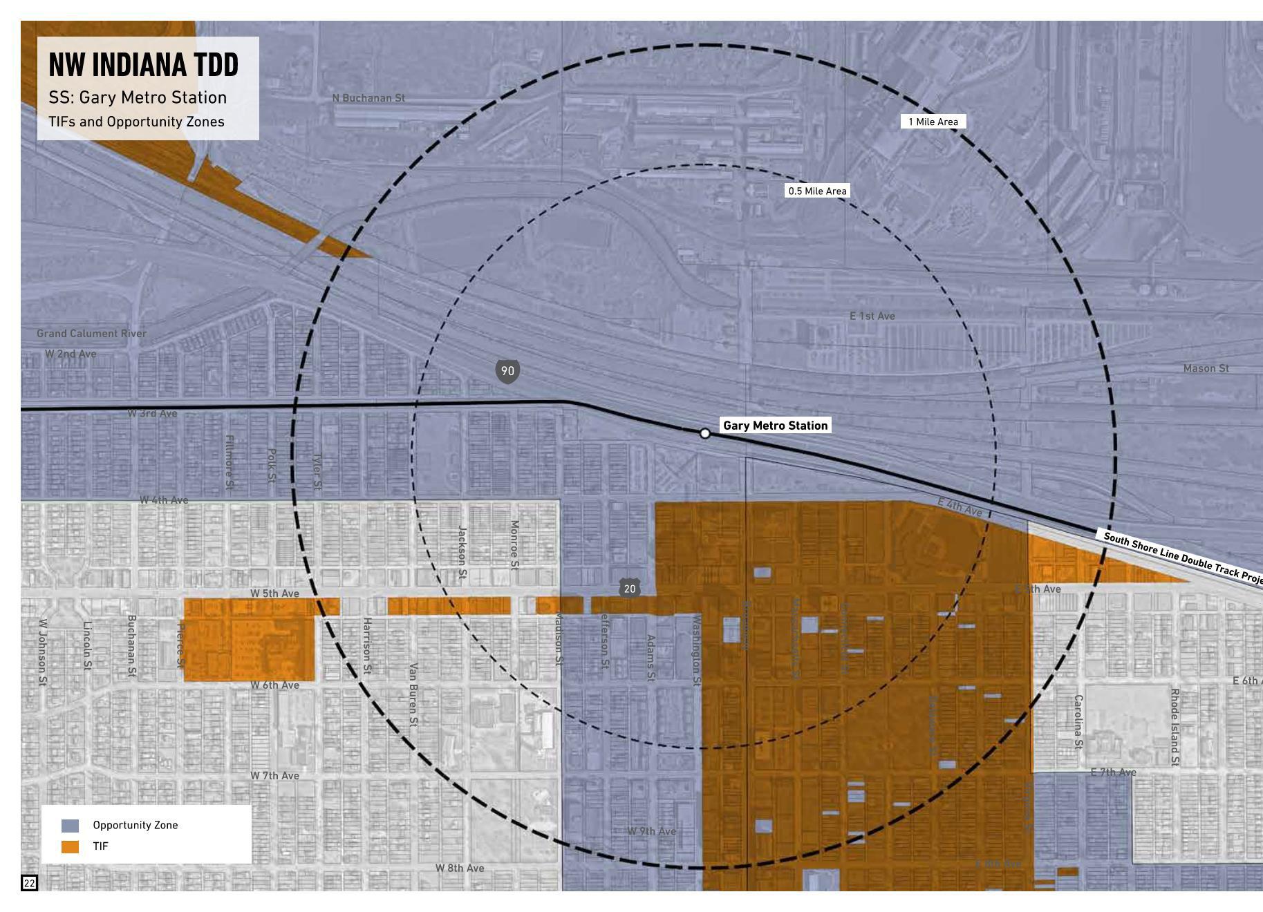
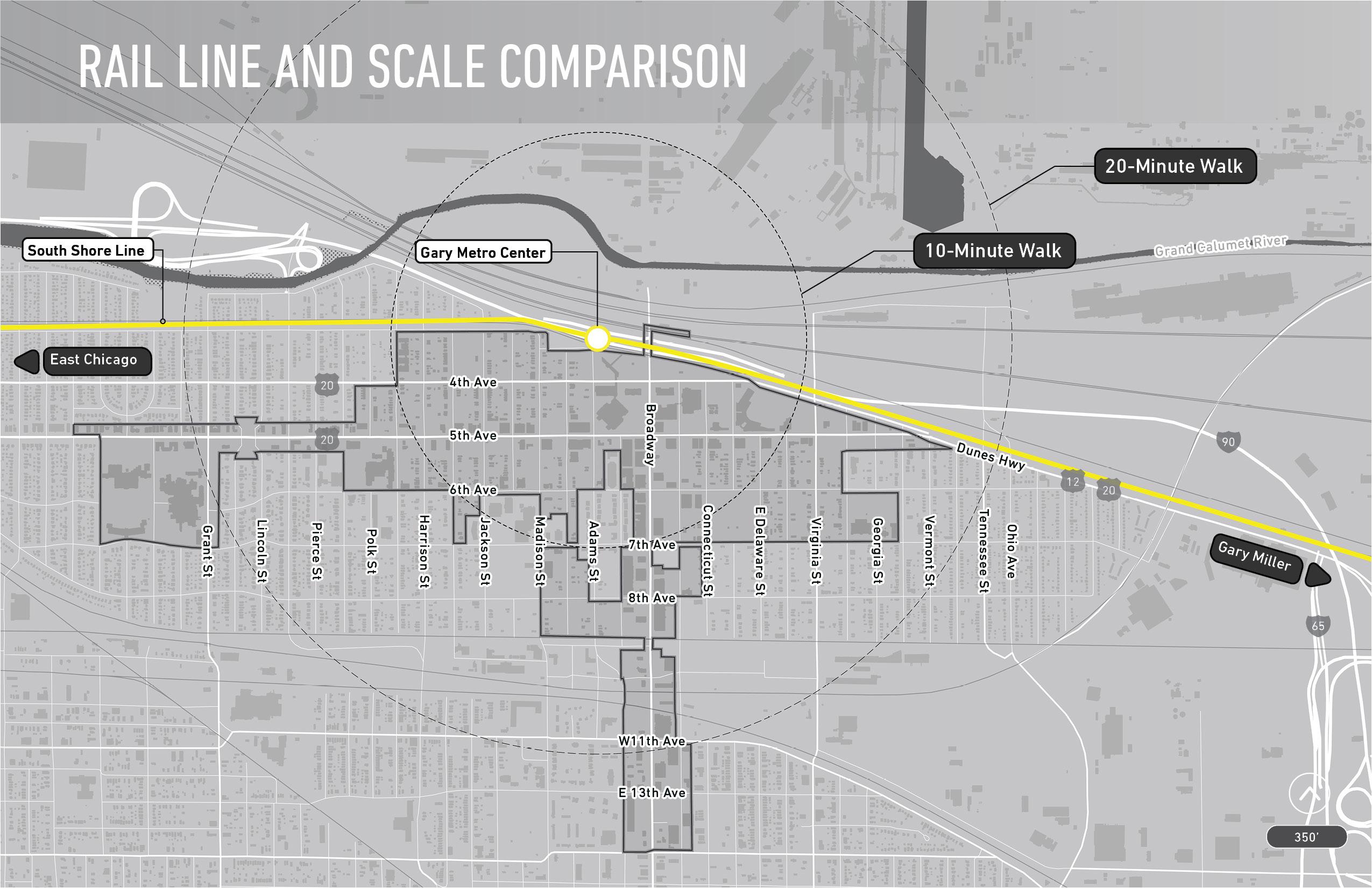
Transit development districts are contiguous boundaries drawn around station areas, and must be no more than 0.5 square miles (320 Acres) in area.
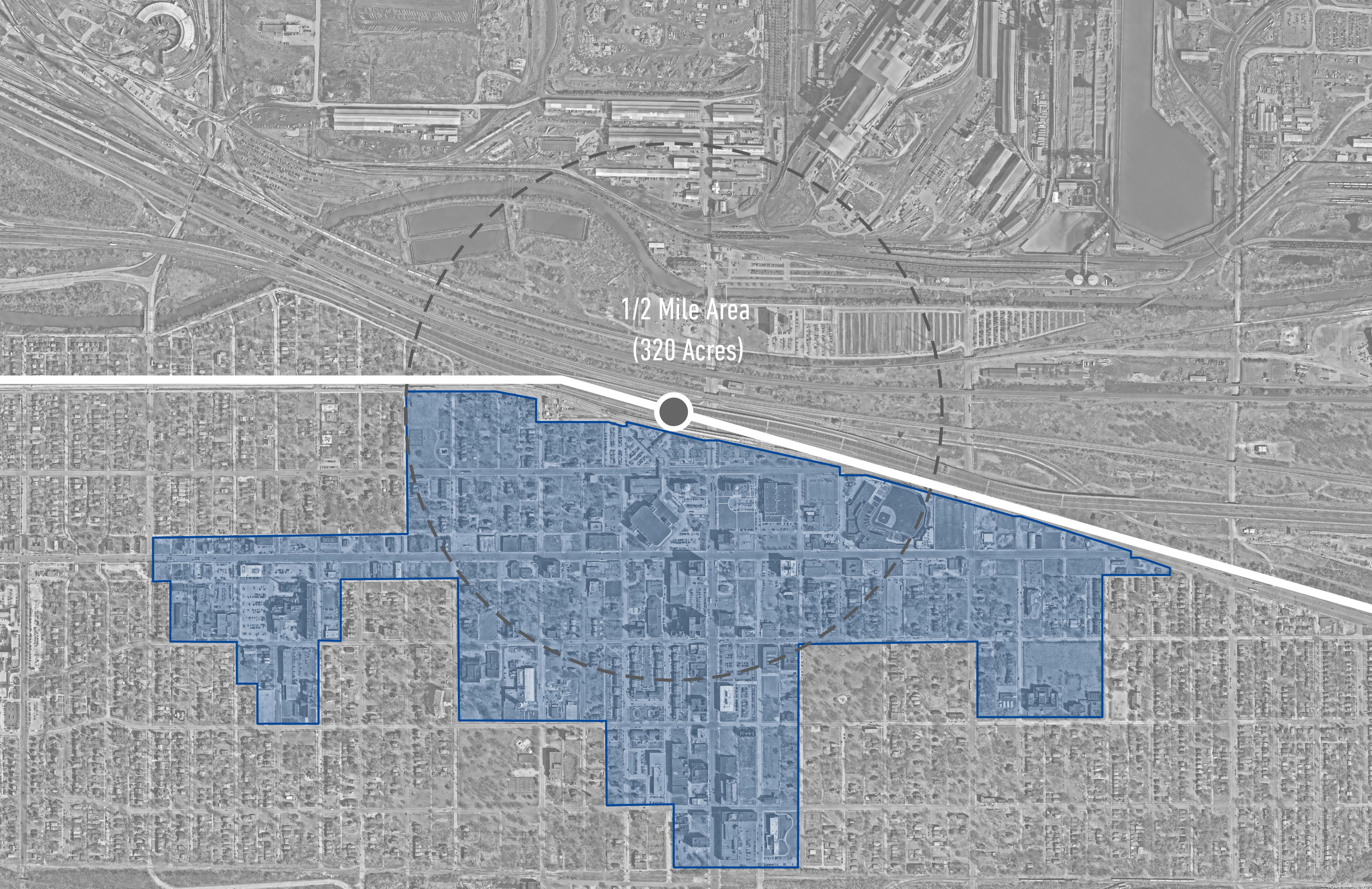
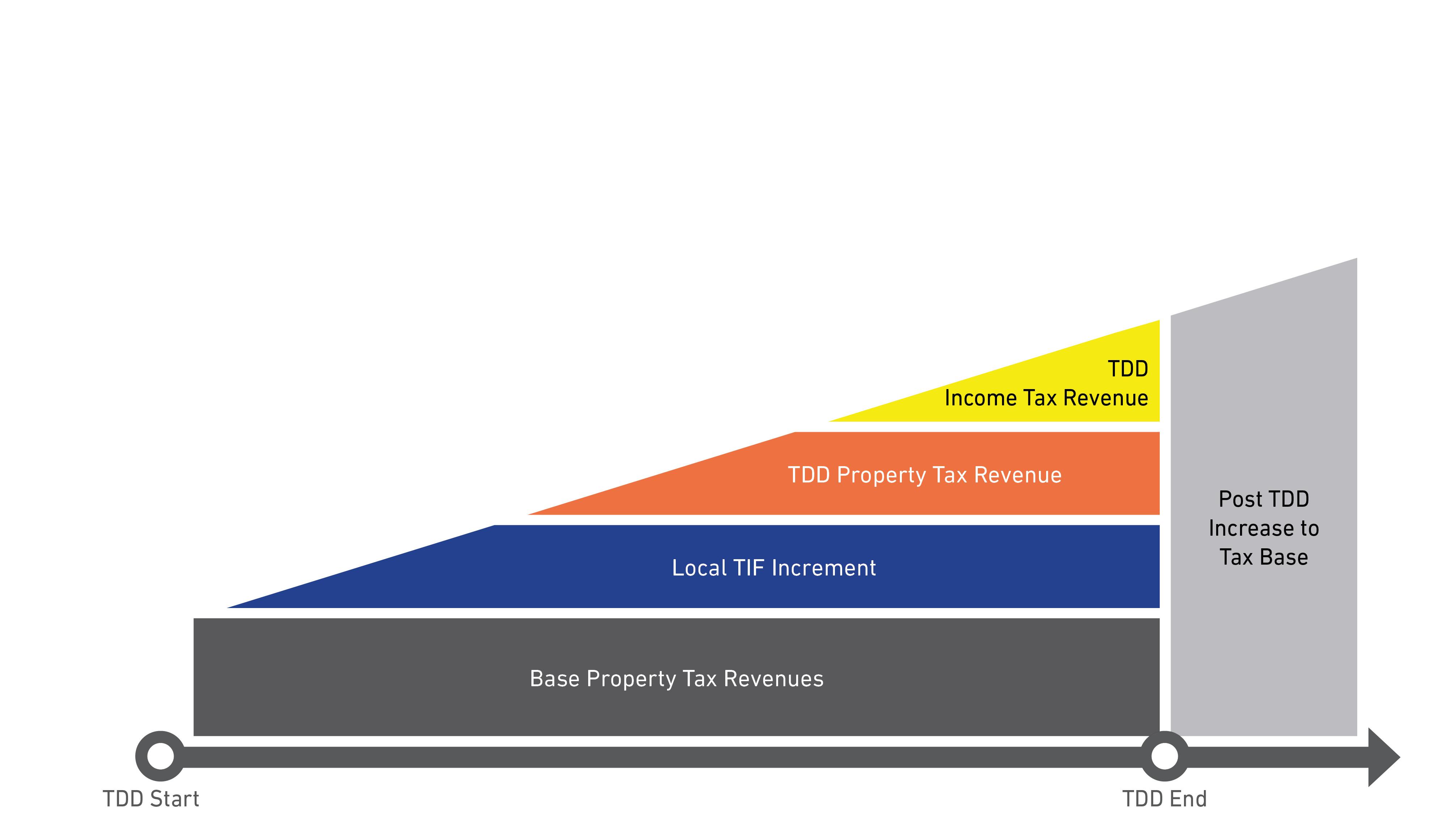
Transit development districts capture the incremental growth in local income and property tax revenue, for use in public investment related to the station area.
Revenue collected from the district –is spent in the district. Local community retains land use and zoning control.
A TDD permits the capture of incremental property tax and local income tax revenues for the development of the area around the transit station
The incremental revenue that is captured can only be used within the same district
After the TDD expires, all of the TDD increment is transferred to the tax base
If a TDD and a TIF overlap, the split of the incremental revenues between the TDD and TIF are negotiated by the RDA and the RDC
After consultation with local communities, two public hearings must be held before the RDA approves the TDD boundaries for review and approval by the State Budget Committee.
How will an MOU take place?
An MOU within the TDD process functions much like a “developer agreement” in the negotiations between a municipality and a project developer as an investment is taking place.
An MOU will be between the NWI RDA and the municipality or municipalities over which the TDD extends
An MOU must have legal status to bind both the RDA and the unit of government to allow for debt obligations to be issued on the basis of the underlying revenues which it controls; and therefore, may be required to be passed by the legislative body of the municipality or county
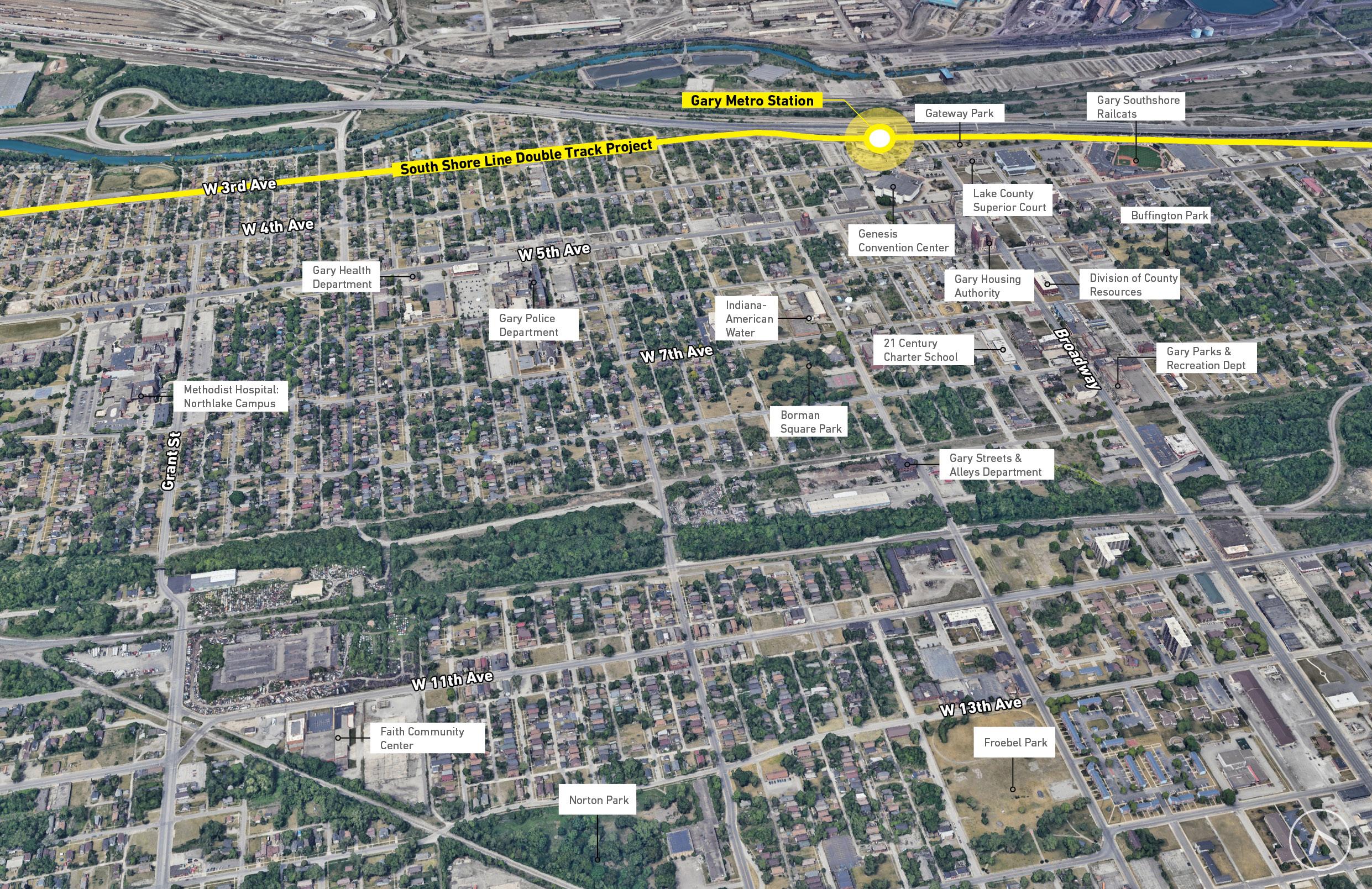
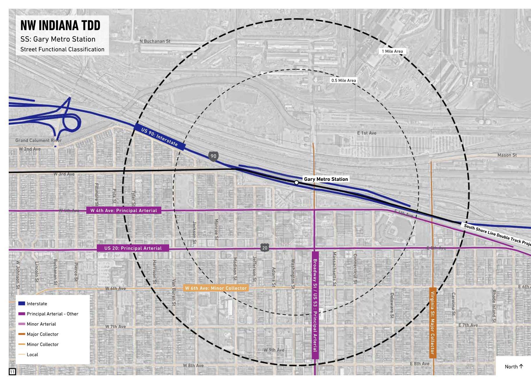
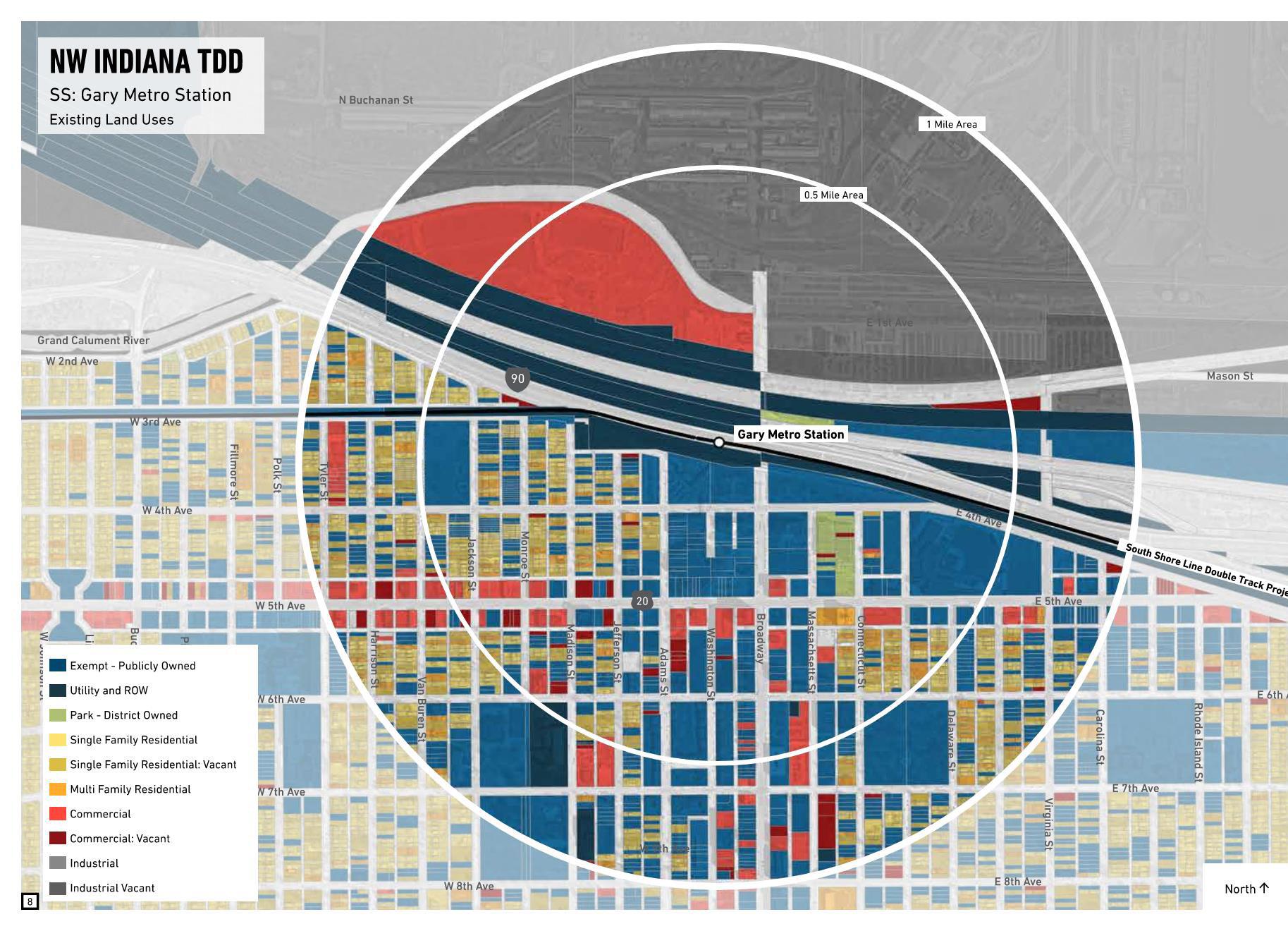
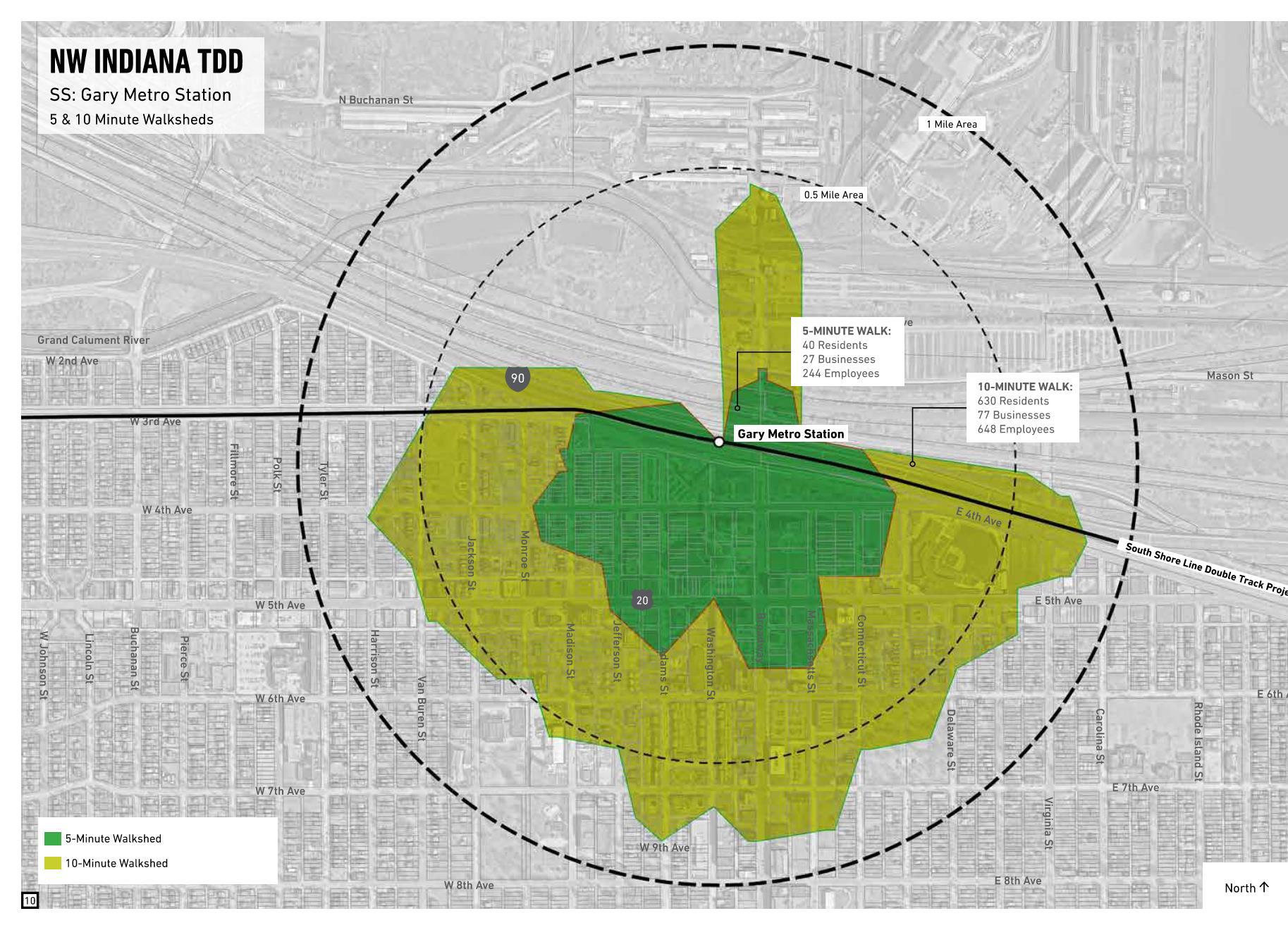
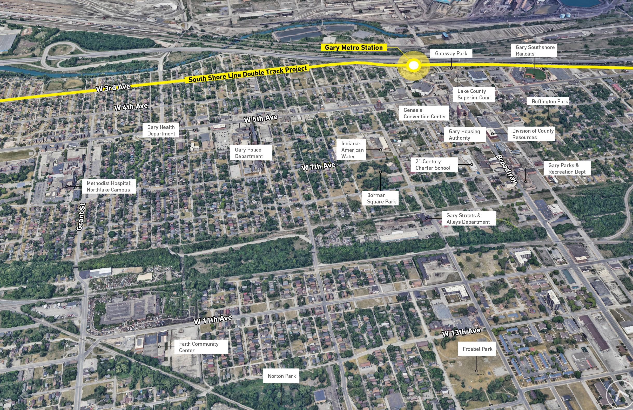
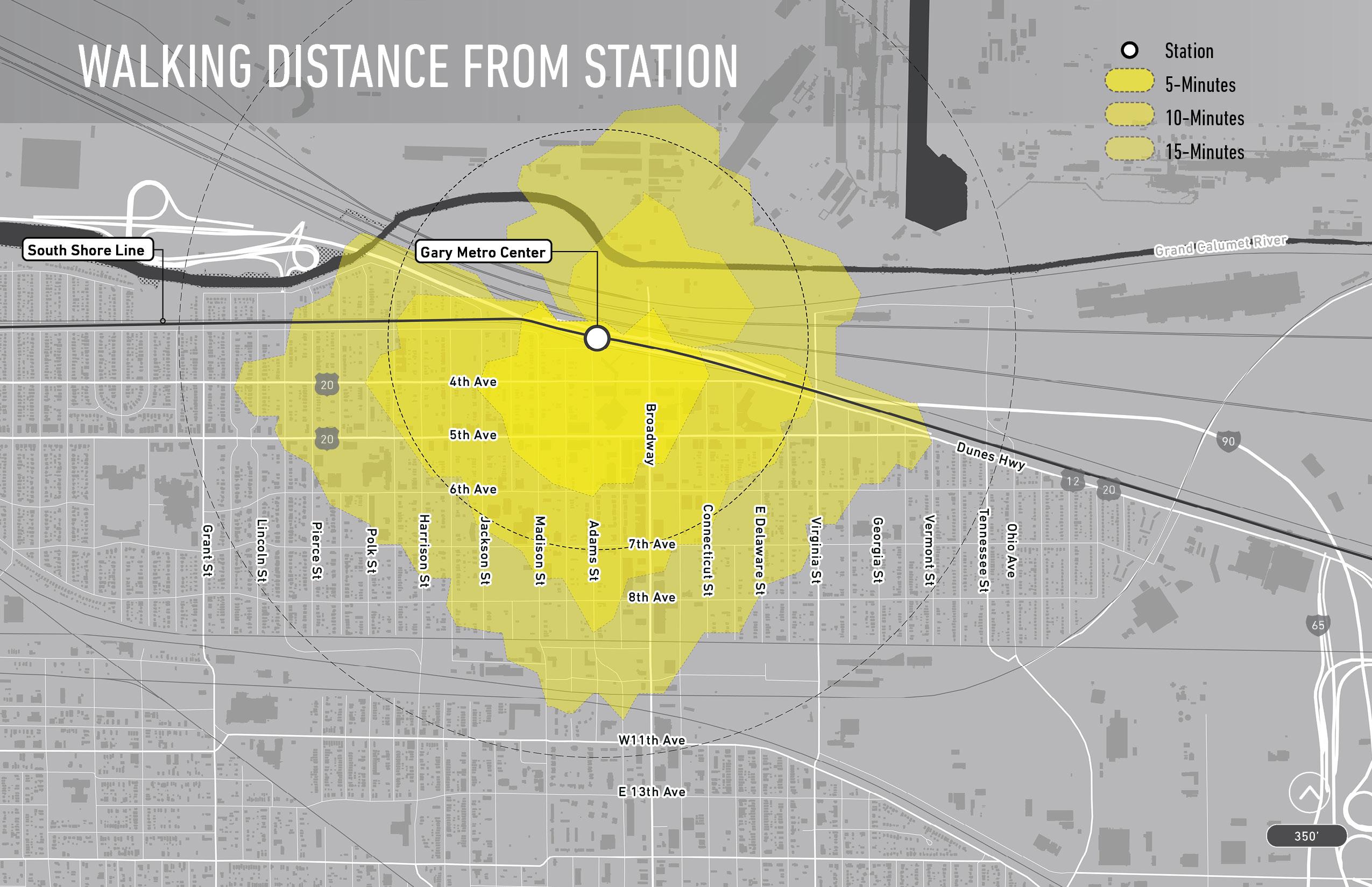
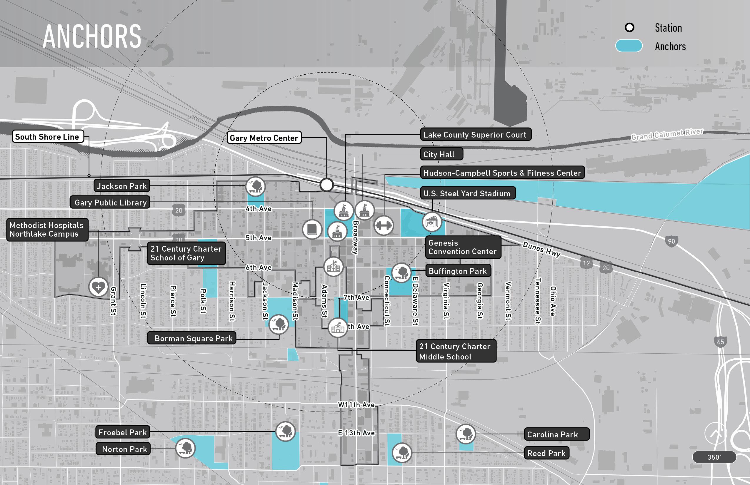
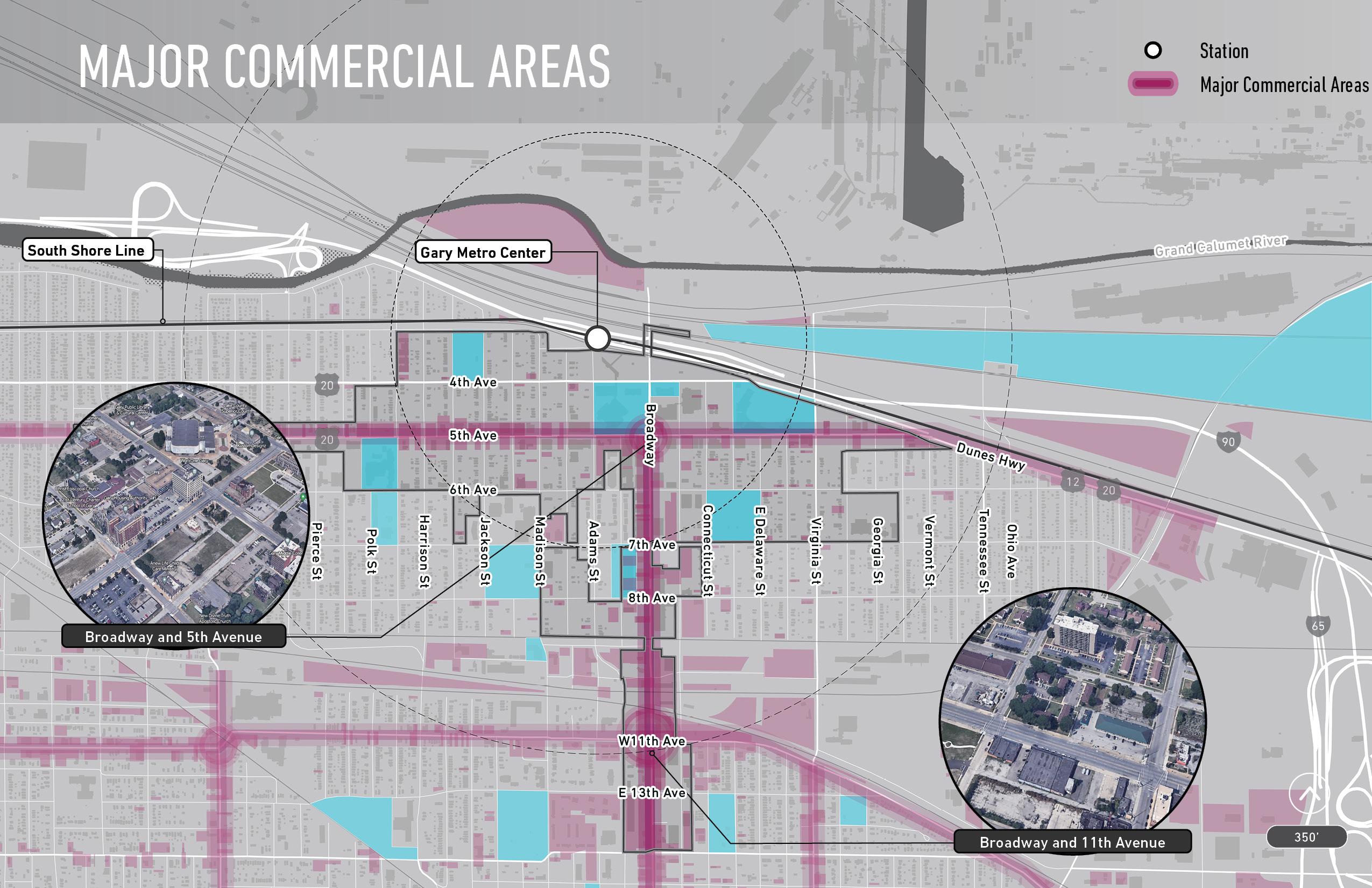
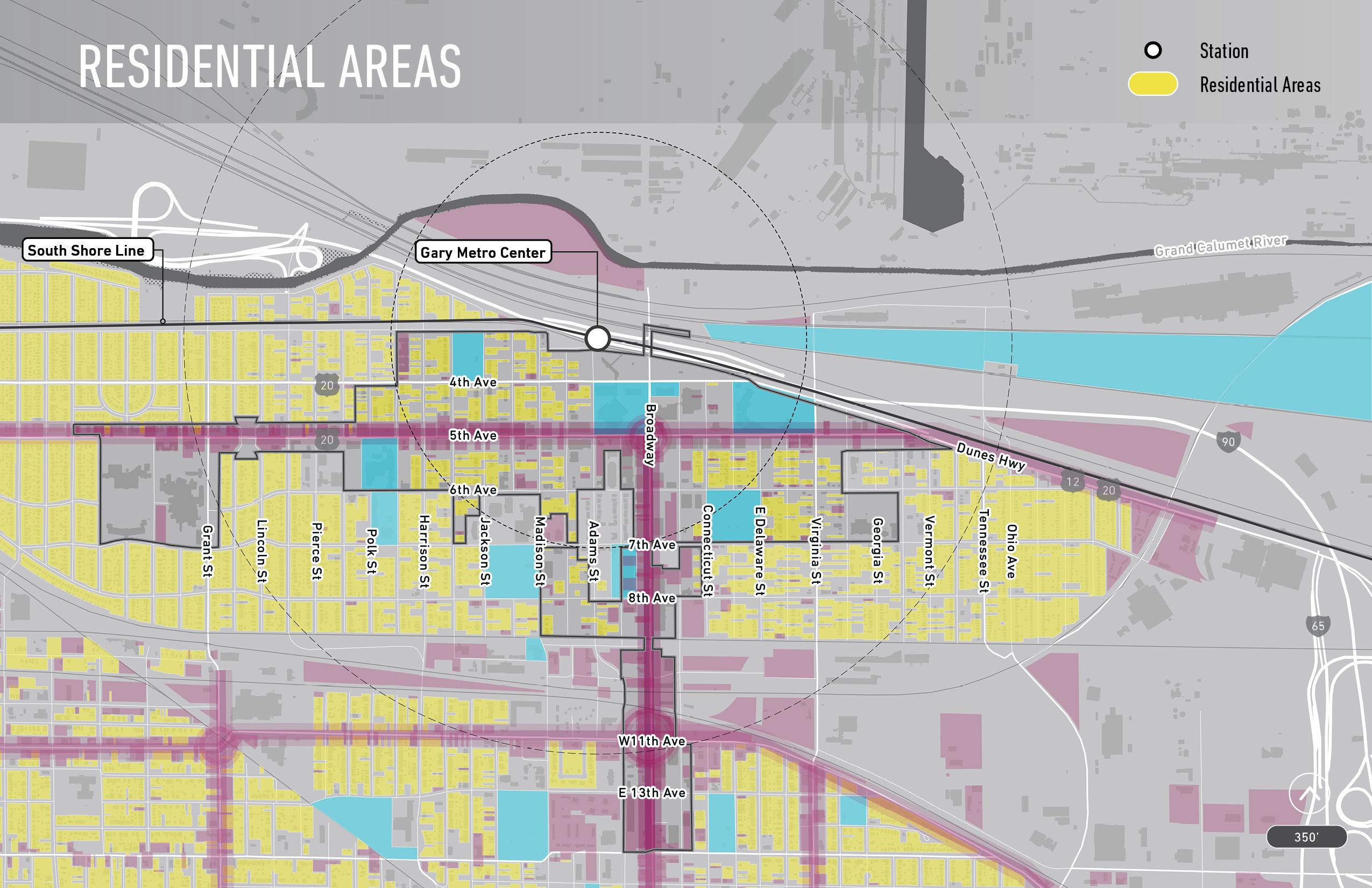
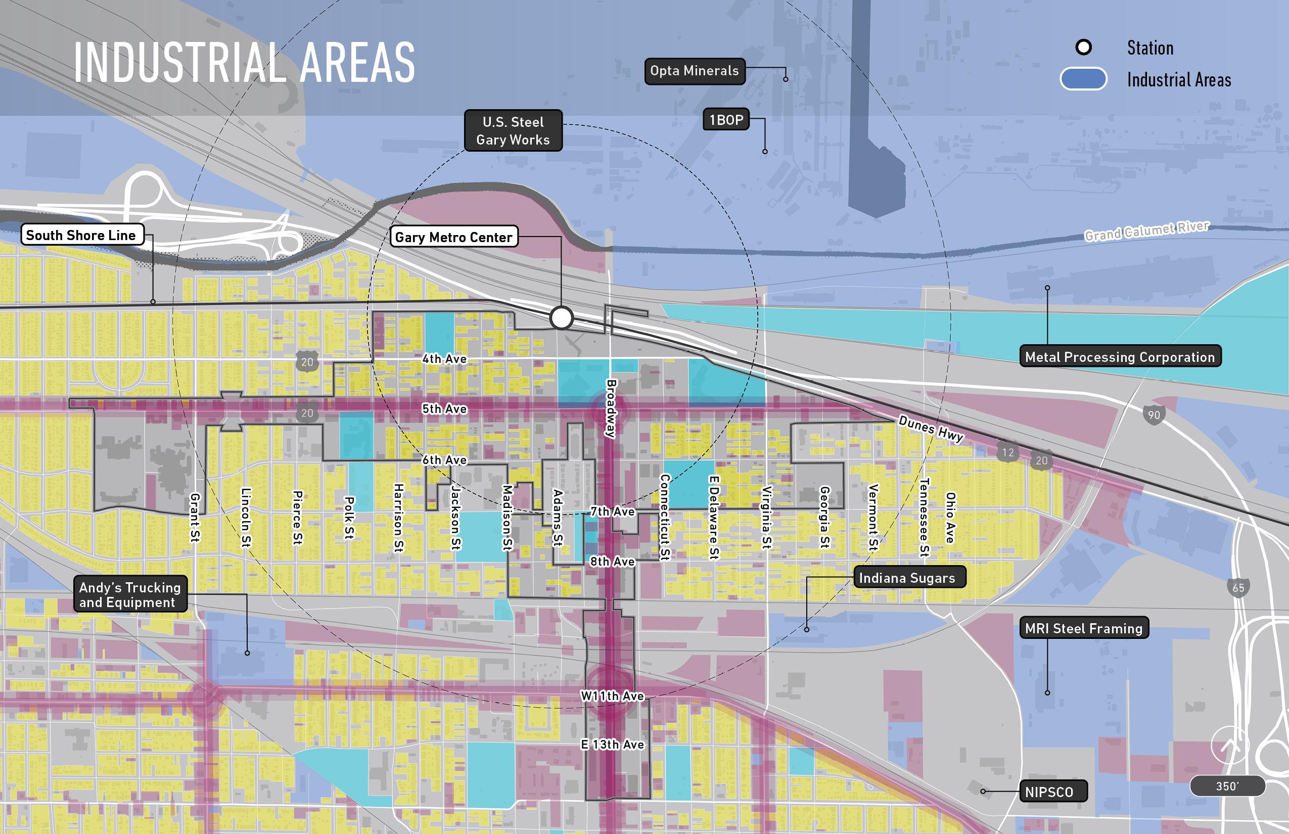
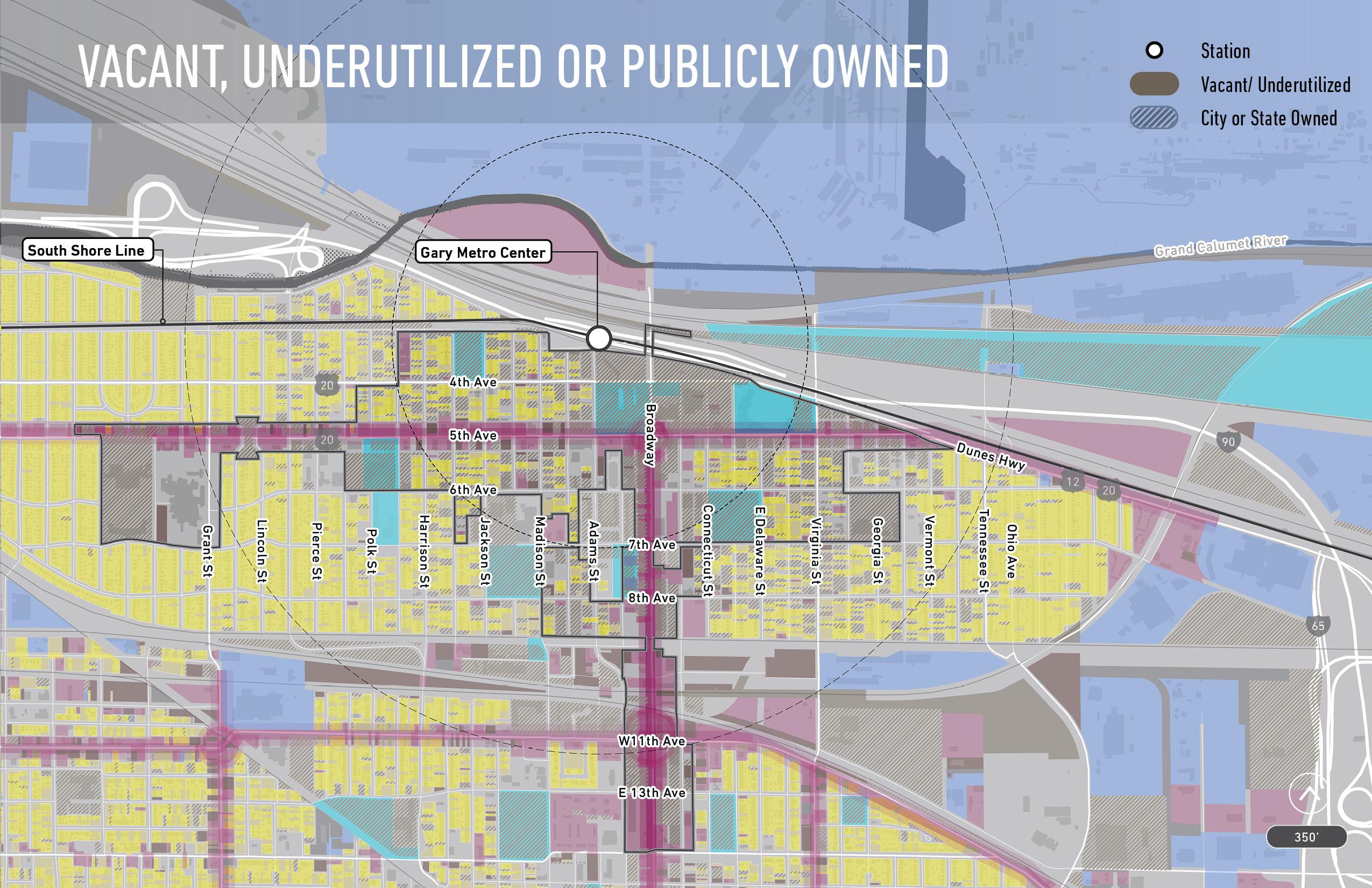
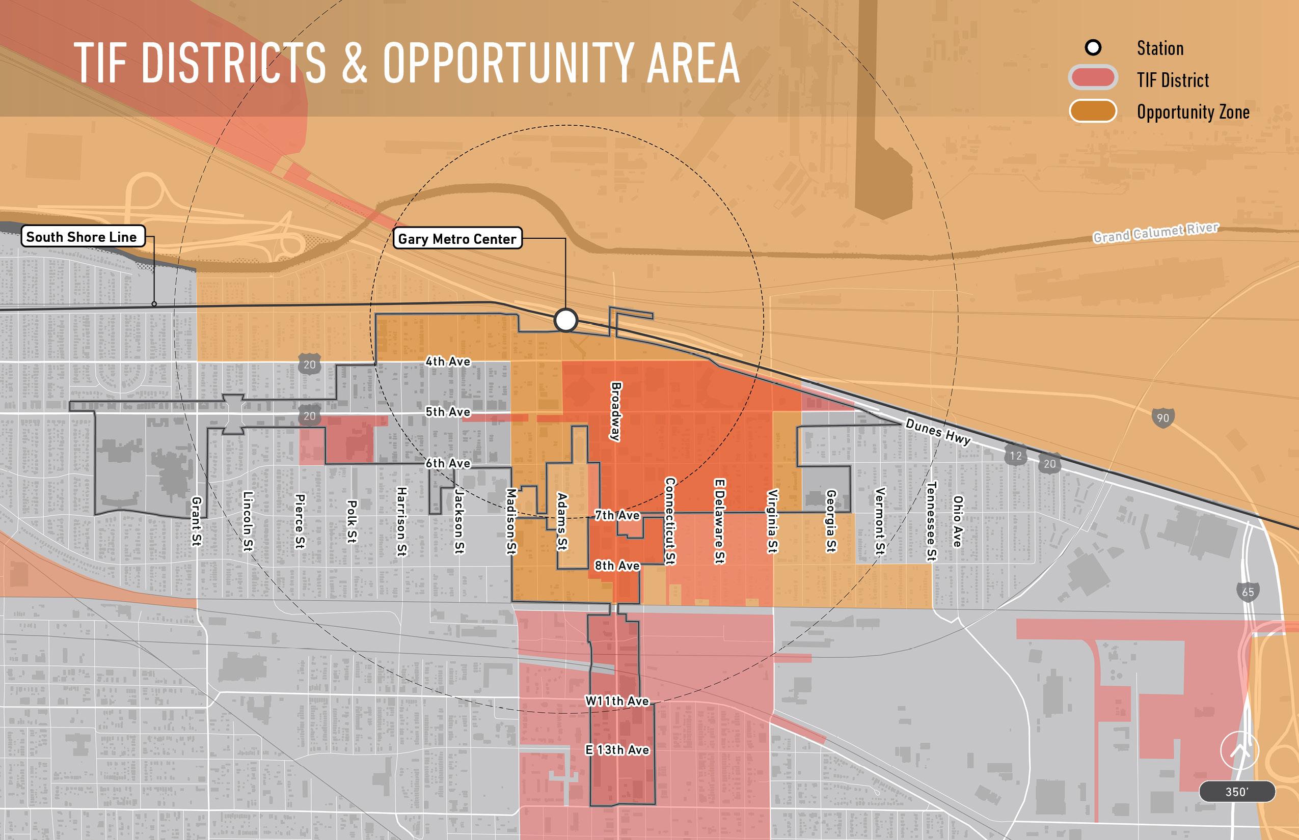
Station context | Utilities | Walkability/connectivity
Cultural or civic assets | Barriers to redevelopment
Buffers | Zoning restrictions
Qualitative Area Specific
Redevelopment potential | Community desires
Previous planning findings | Community vision
Future/planned projects | Understanding the needs of a historically underrepresented community
Site analysis | Location analysis | Legal analysis
Zoning/future land use | Potential property tax yield
Existing public debt obligations | Impact
Our area development opportunity criteria included the following...
Acreage (Developable acreage)
Future land use or planned use
Ownership (Public vs private, single vs. multiple)
Vacancy status (Occupied vs vacant lot/ building and notable condition)
Access / location / walkability
Conditions (Utilities, infrastructure, flood/ wetland, slope, brownfield issues, other)
TIF district / Opportunity Zone status
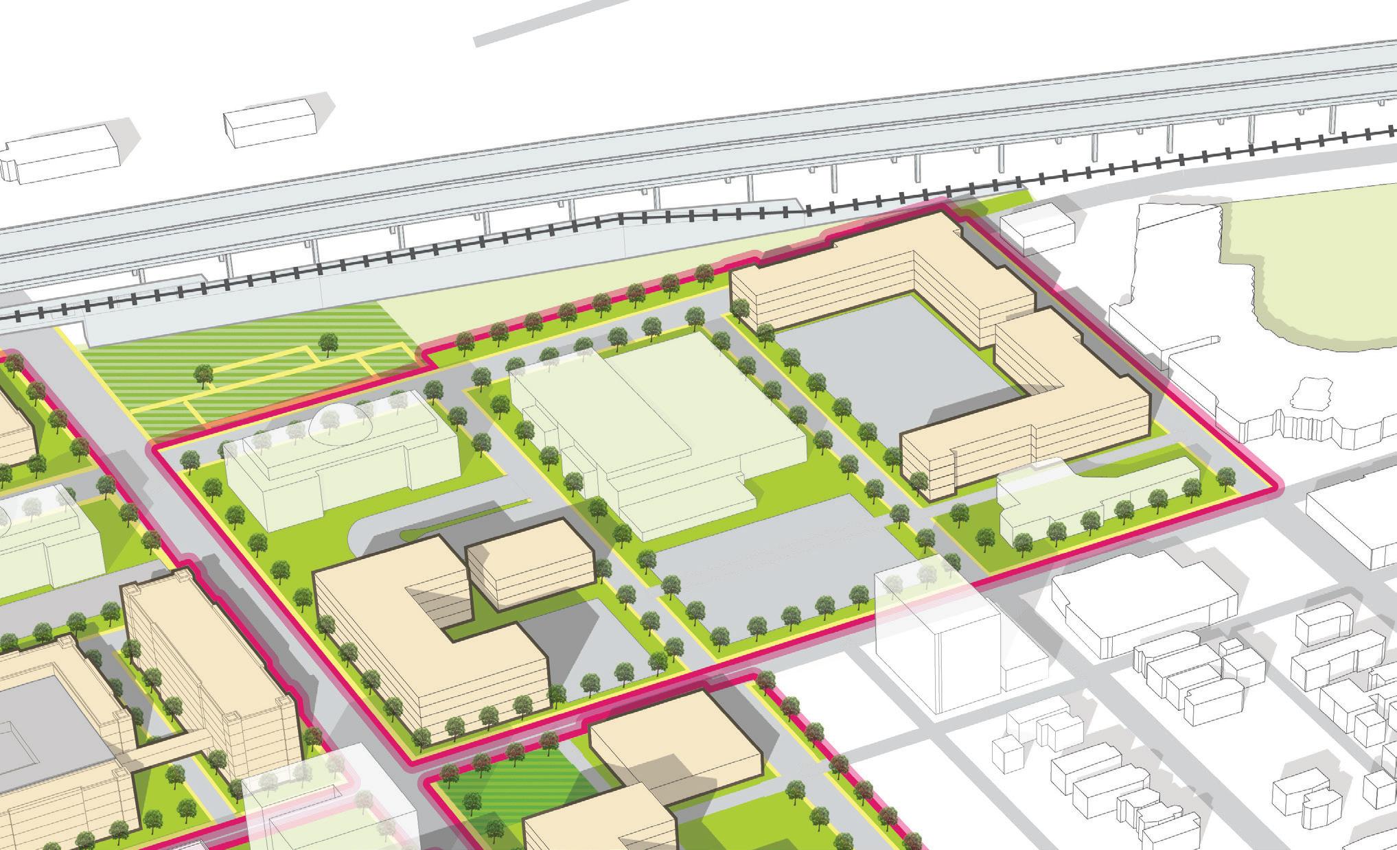
Comprehensive impact Proximity to station
REDEvELOP INfILL
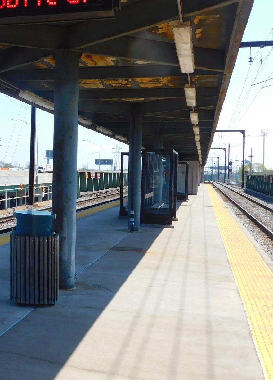
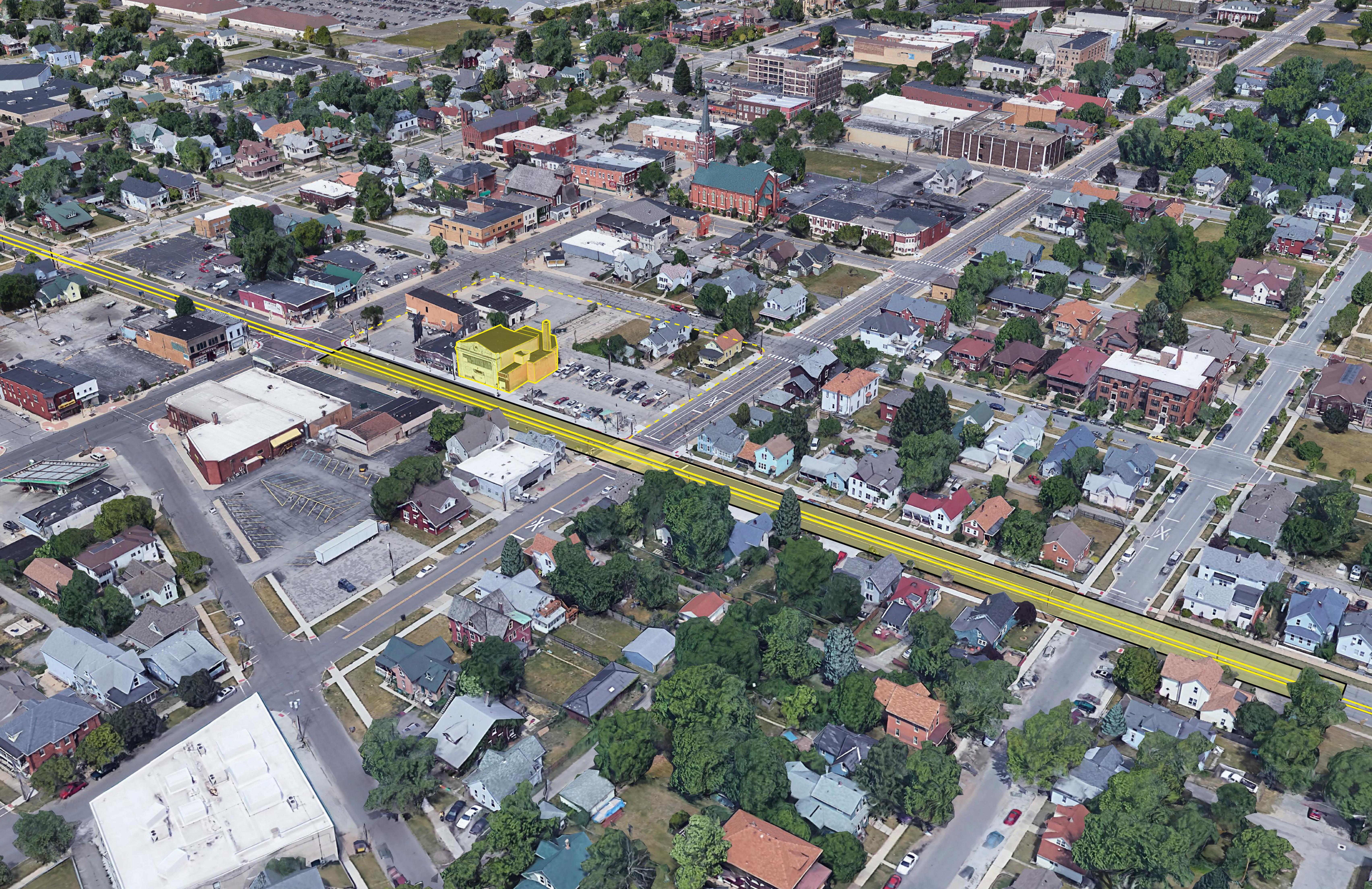
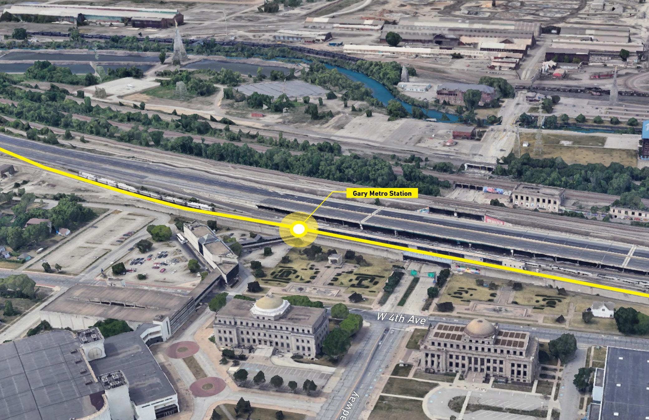
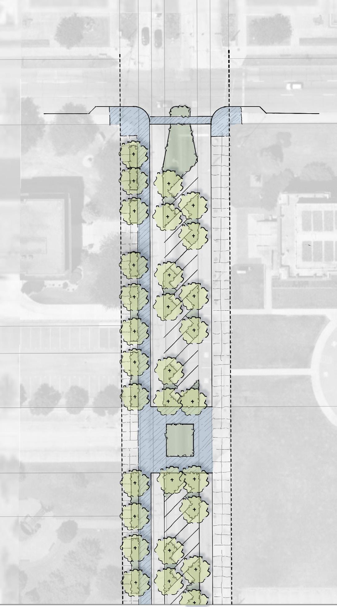
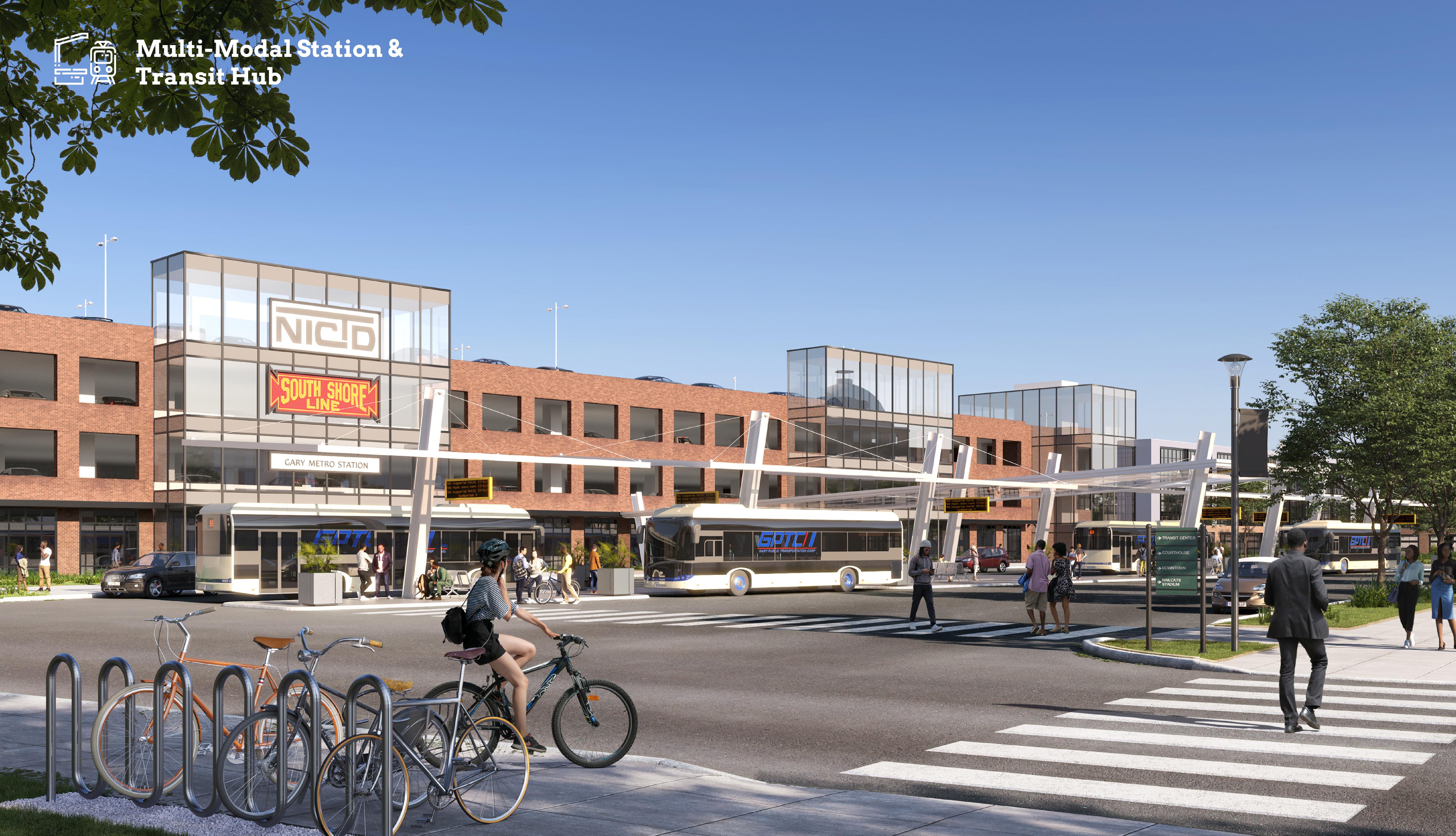
1 Replace the Gary Metro Station incorporating ADA accessibility, a new station platform, kiss-and-ride, and Gary Public Transportation Corporation (GPTC) bus service
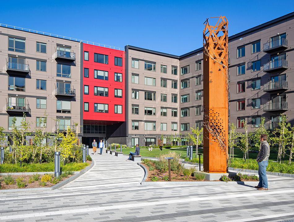
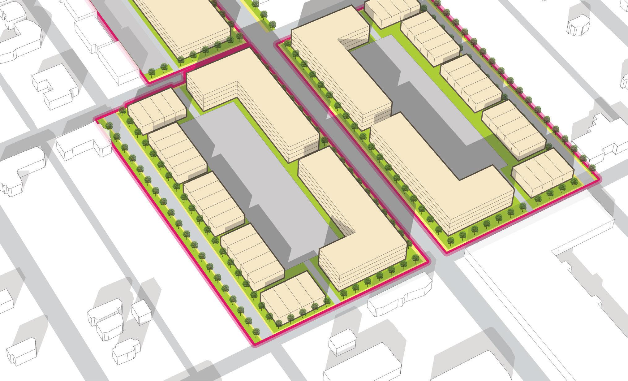
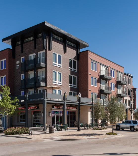
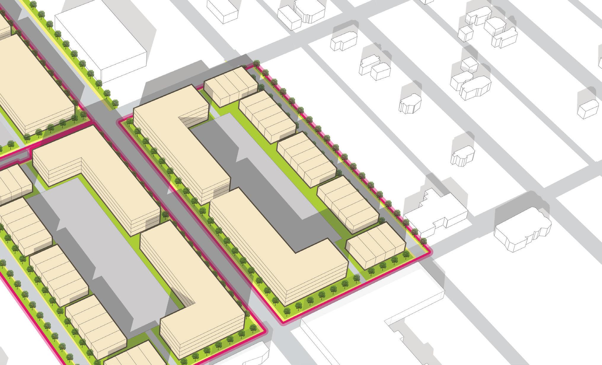
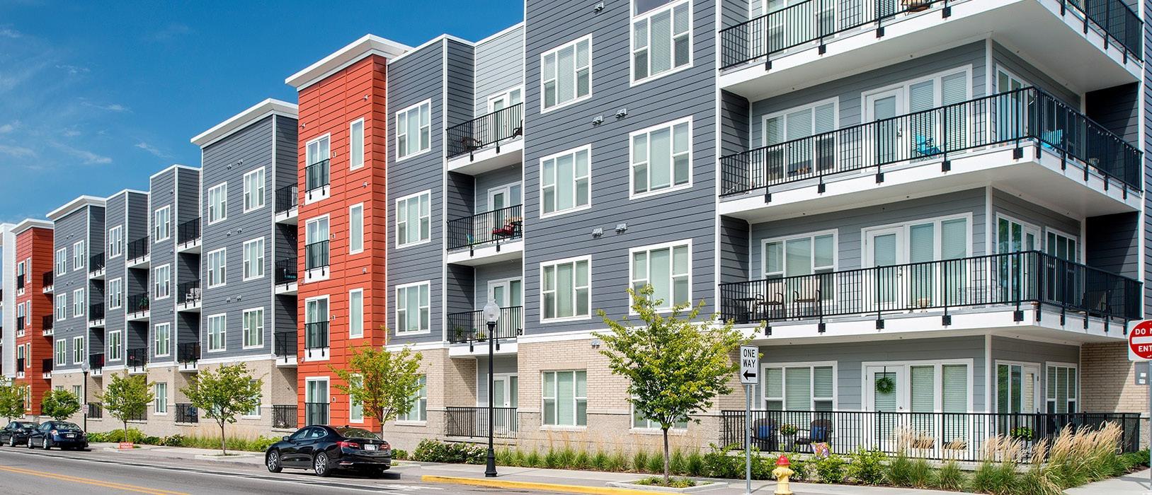
2 Promote transit-oriented mixed-use development around the station area
3 Redesign Broadway as a Complete Street with streetscape, multi-modal functionality, and traffic calming and study the feasibility of two-way conversions of 4th and 5th Avenues
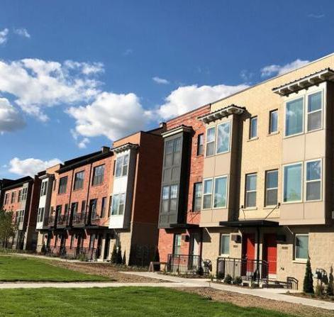
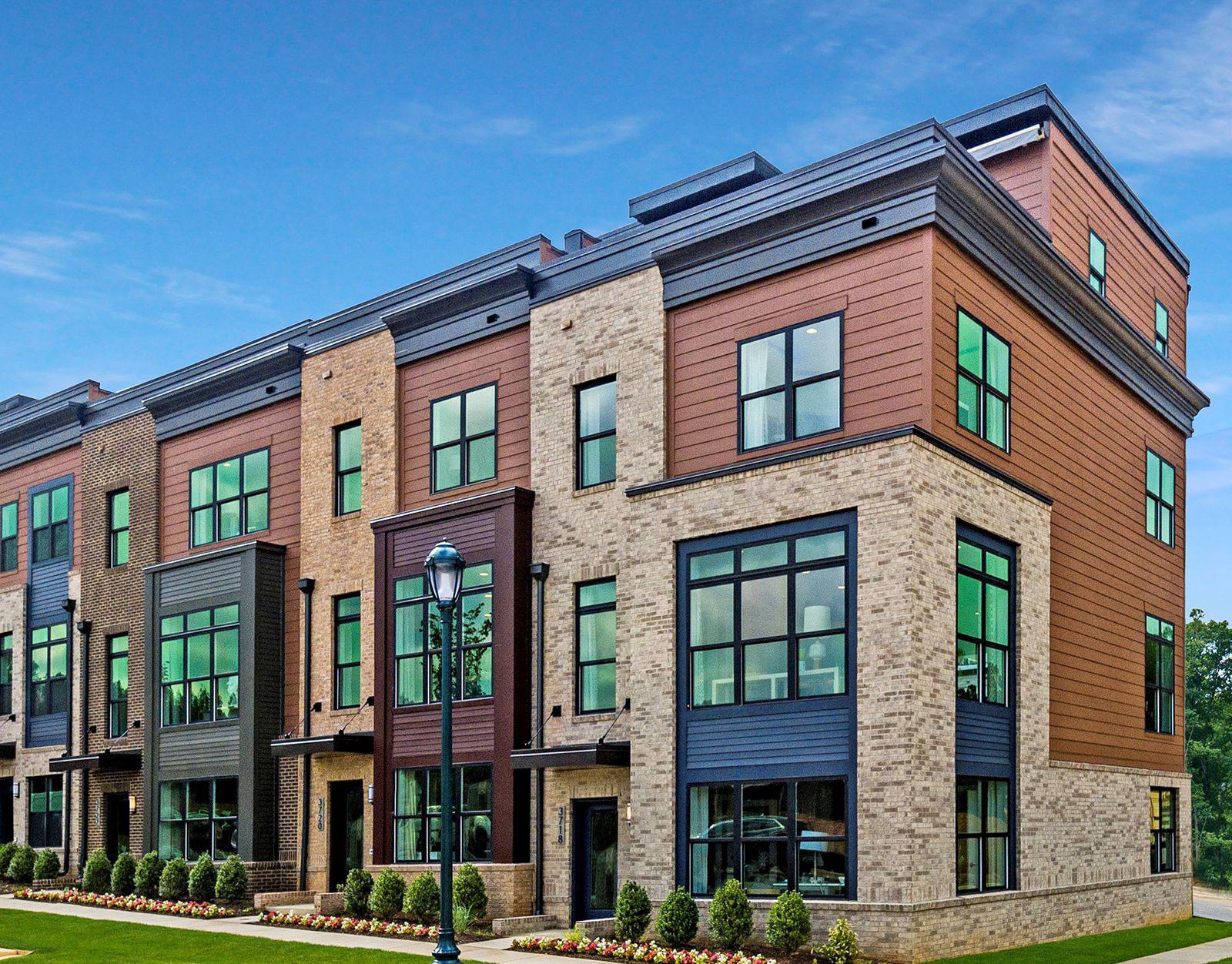
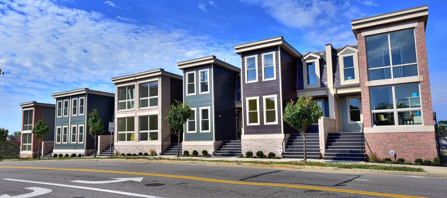
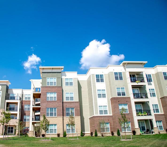
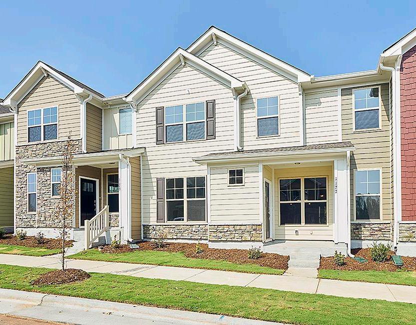
4 Rebuild the housing market, prioritizing affordable housing and transitioning into new market-rate
5 Create a demolition and land-banking strategy where blocks transition to temporary conservation green spaces as the market matures
A UNIfIED vISION fOR ThE fUTURE AND A BLUEPRINT fOR hOw GARy wILL PROMOTE GROwTh AND ADAPT TO ChANGE
Creating consolidated and stable residential neighborhoods
Concentrating retail and services at key nodes of activity
Strengthening and expanding employment areas
Protecting and enhancing Gary’s open space, natural beauty, and recreational assets
CREATE A BLUEPRINT fOR PLANNING, IMPLEMENTING, REGULATING, AND MANAGING GREEN INfRASTRUCTURE
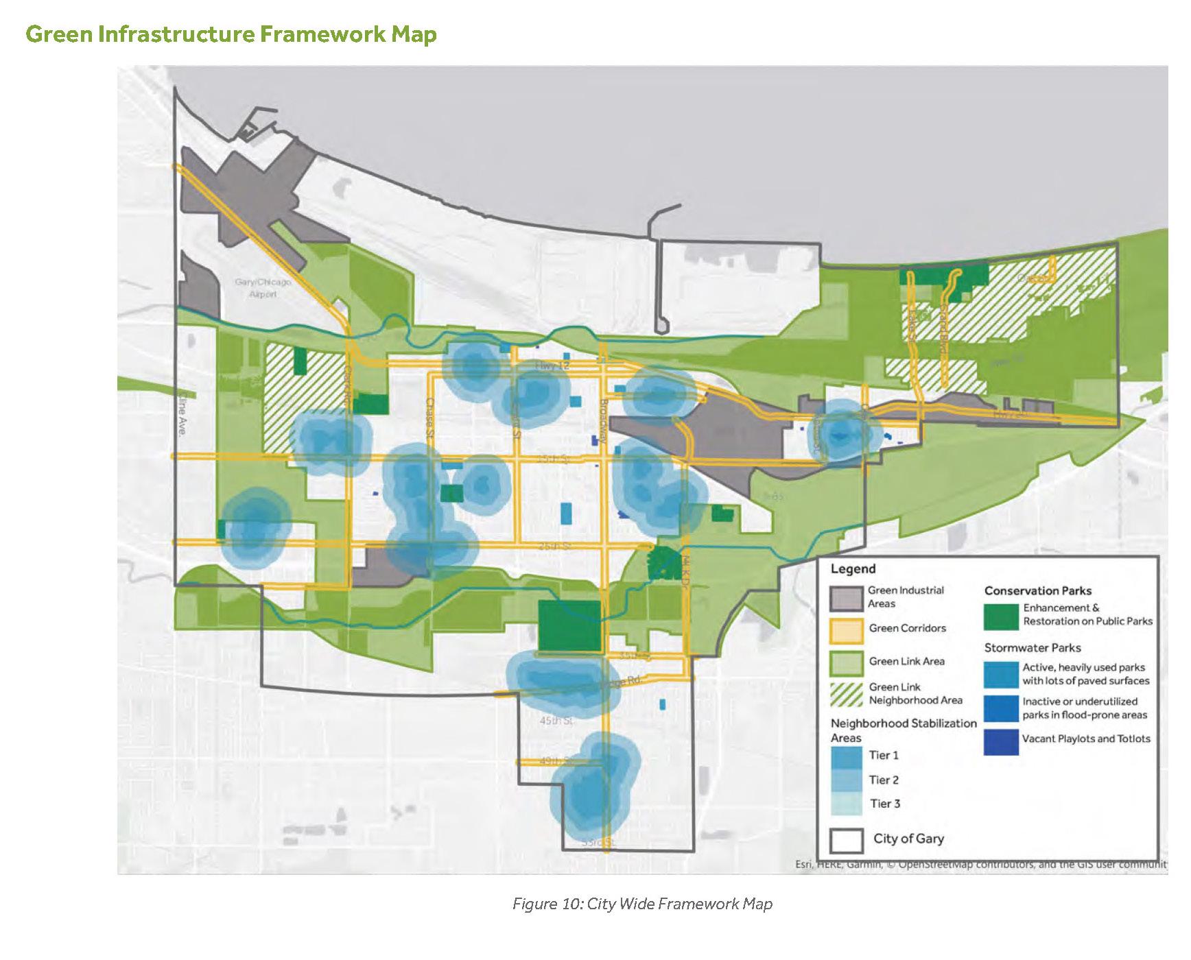
Strengthening and expanding environmental assets and addressing environmental problems in the City
Providing solutions for blight elimination and vacant land management
Balancing environmental protection with positive and impactful redevelopment projects.
Improving public health and quality of life in Gary
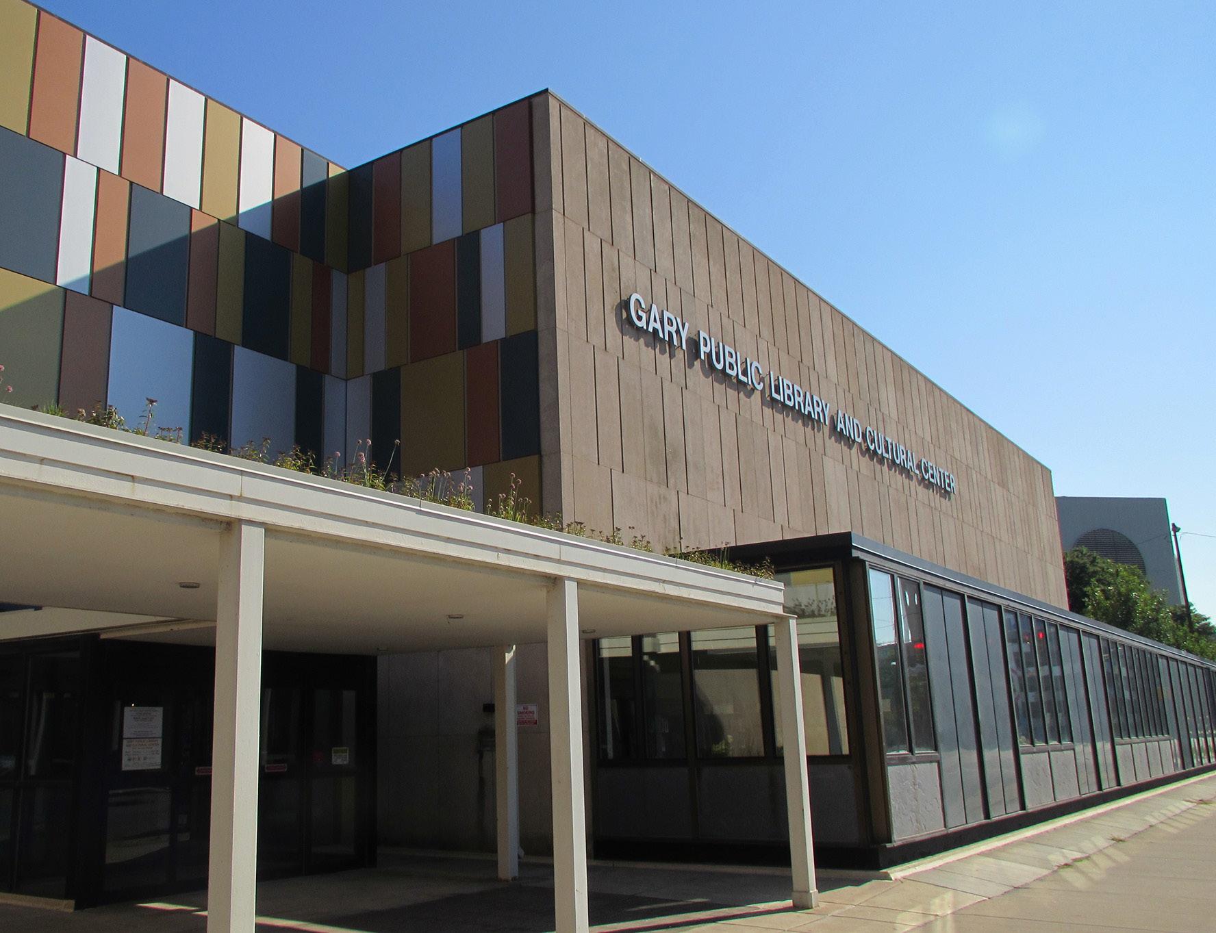
Gary Green Infrastructure Plan, 2019Station Building
• ADA-accessible Routes & Amenities
• Enhanced Station Security
• High-level Station Platform and Waiting Area
• Elevators to Main Floor Lobby
Bus/Drop off Area
• Up to 12 GPTC and Shareduse/Over-the-road Bus Bays
• Rapid Charging Stations for Electric Buses
• Up to 20 Kiss-n-Ride Spaces for NICTD and Bus Drop-off
• Rideshare (Uber/Lyft)
• Four-level, 420-car garage
• Wrapped with residential/ multi-family, community services, and/or micro-retail
• Structured Parking integrated with Station Building
• Grade-level, ADA-accessible Parking
• Electric Vehicle Charging Stations
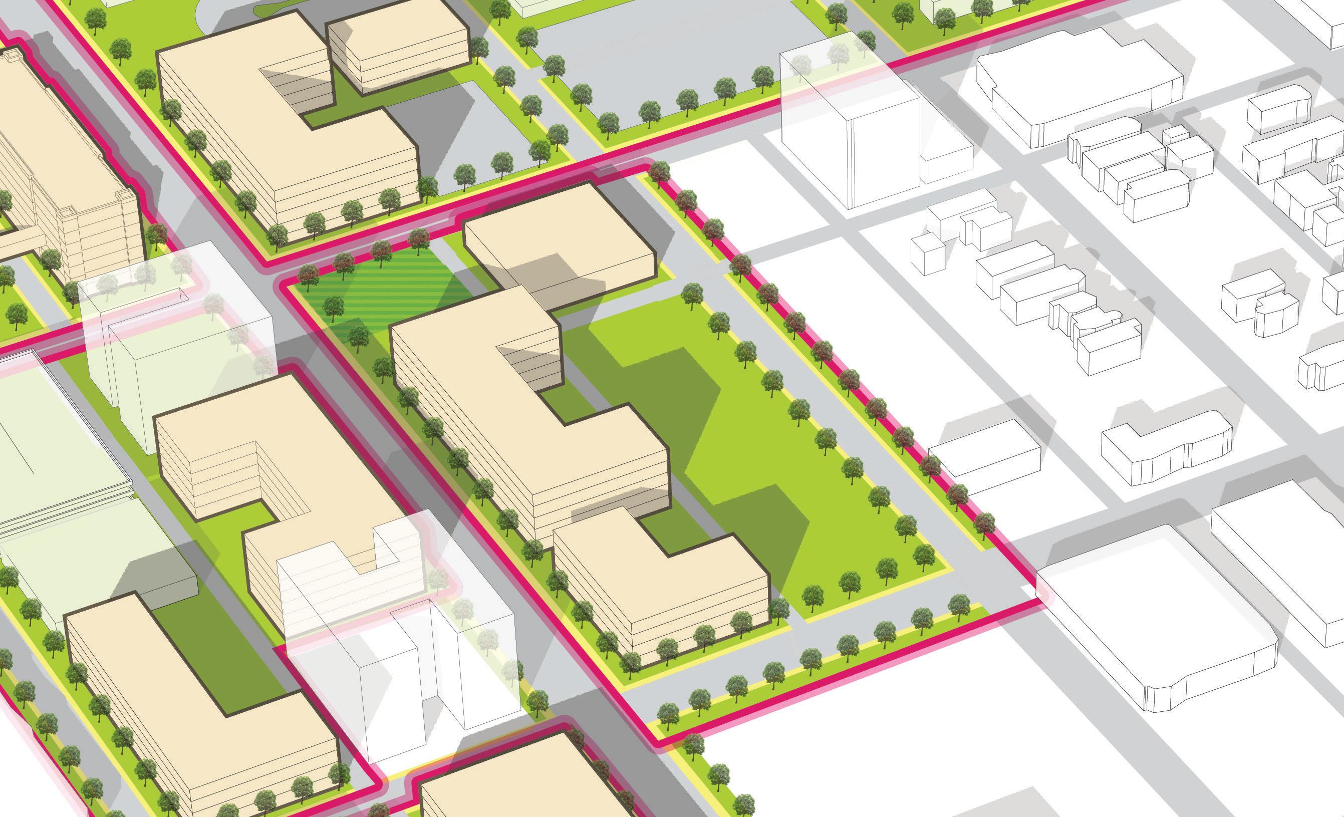
Station Area
Opportunity for adjacent development directly to the east by private market, with a green space anchoring the station block
• Two-way conversion of 4th and 5th Avenue to create a safer pedestrian environment
• Raised crosswalks at intersections where Broadway Avenue crosses 4th and 5th Avenues
Integration of Marquette Trail by connecting to station site
This isn't just a boundary. It complements the economic growth path of communities.
REDEvELOP INfILL
A property acquisitions strategy, holds City-owned properties, allowing intermittent land-use and promoting future economic development.
Broadway Avenue can be redefined with a complete street design, engaging pedestrian realm, and has potential for transformation into an activated corridor.
Downtown Gary presents an opportunity to develop an active, walkable district, with integrated commercial and mixed-uses. Revitalizing the Gary Metro Station would activate opportunities throughout the Metro area for future development and community re-generation.
Improving access to the Gary Metro station includes improvements to existing infrastructure.
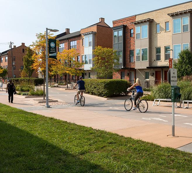
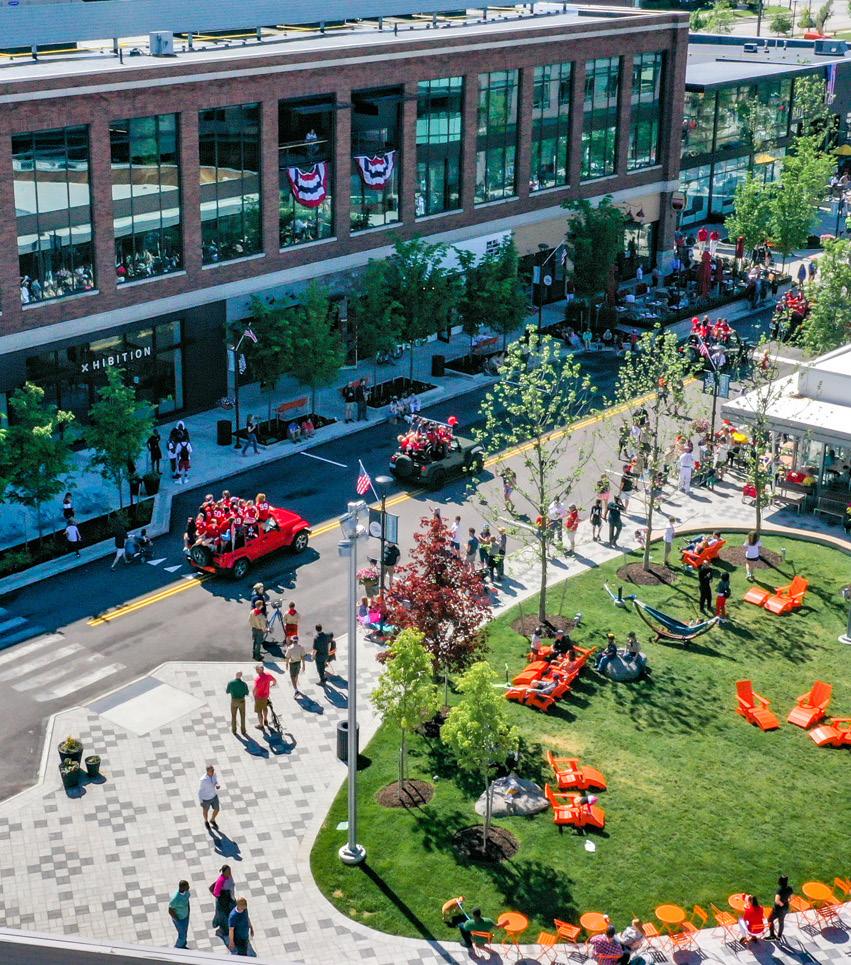
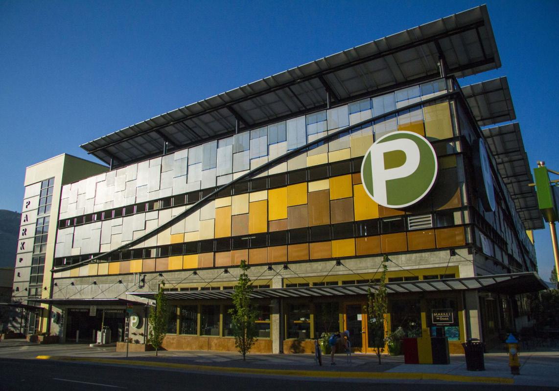
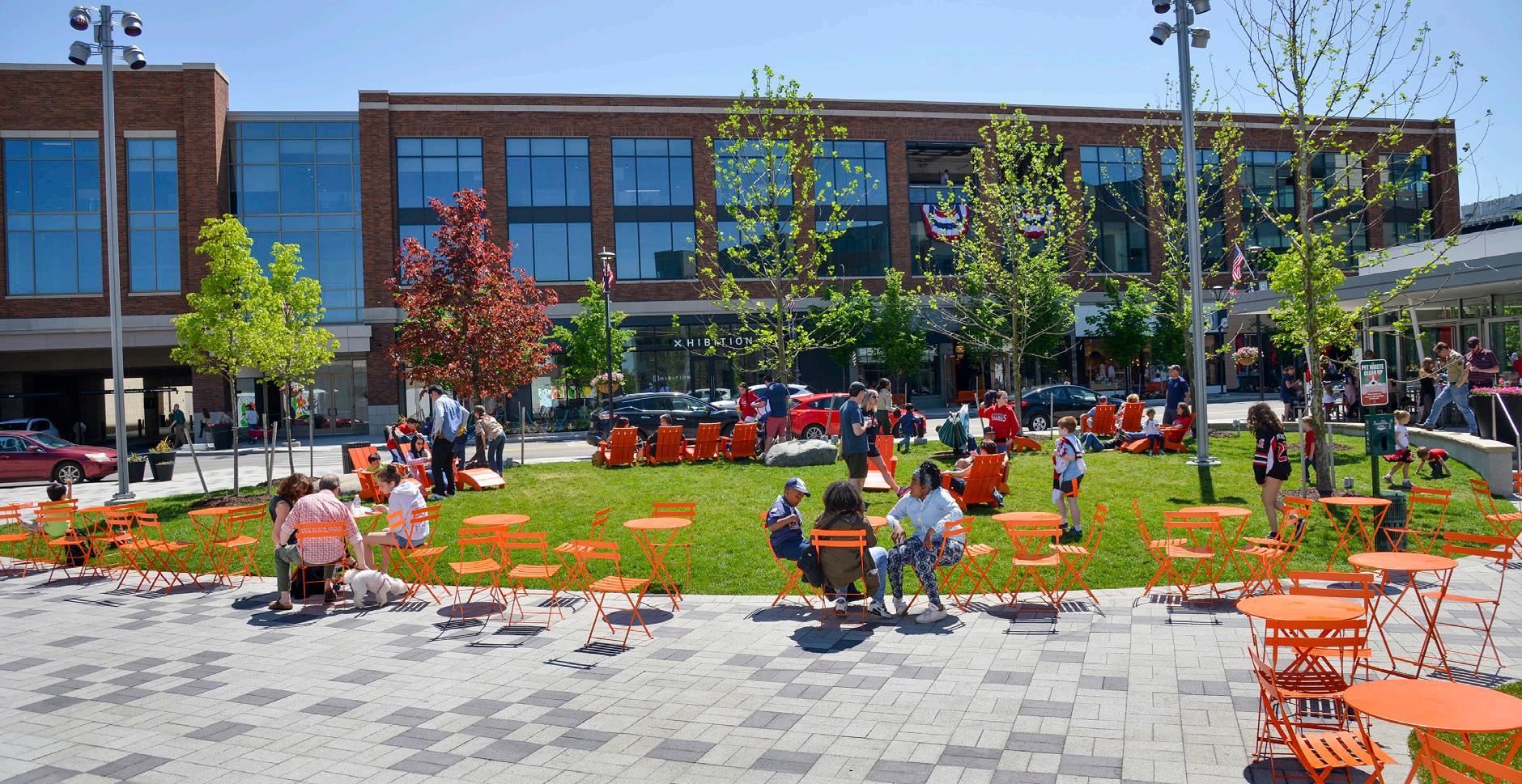
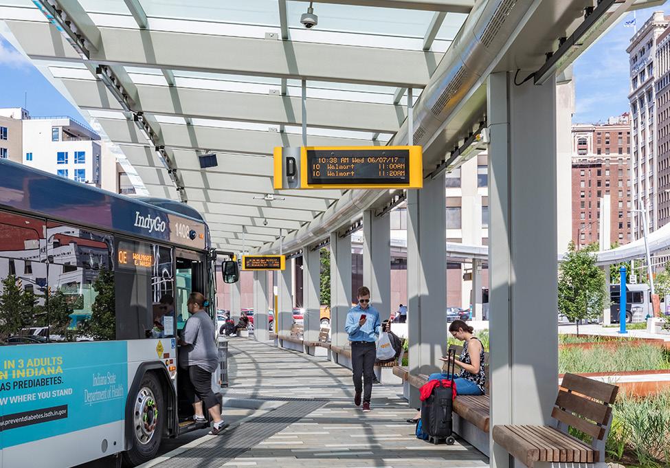
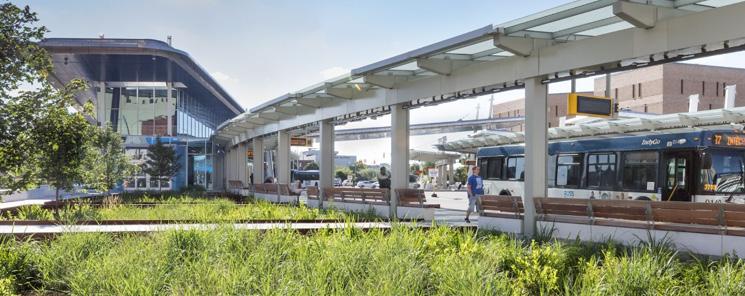
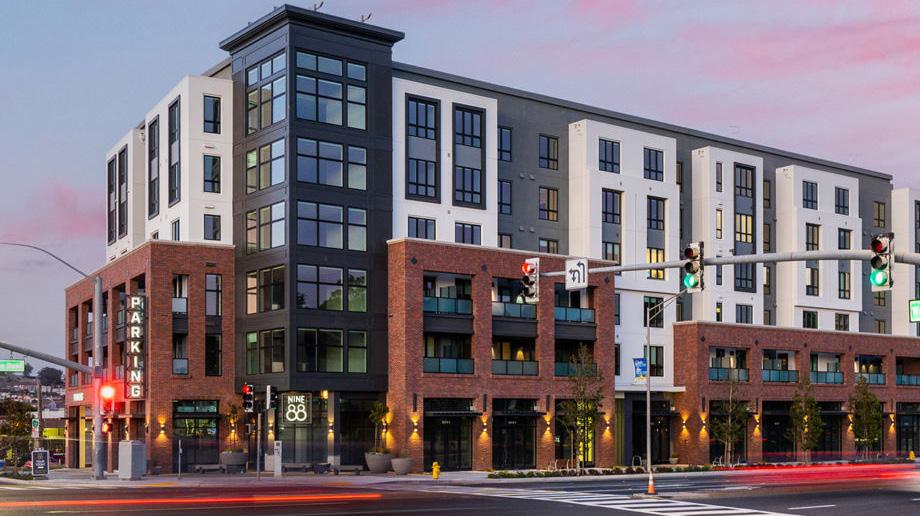
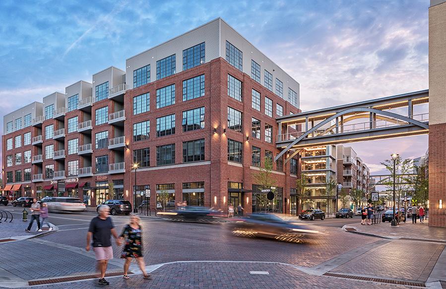
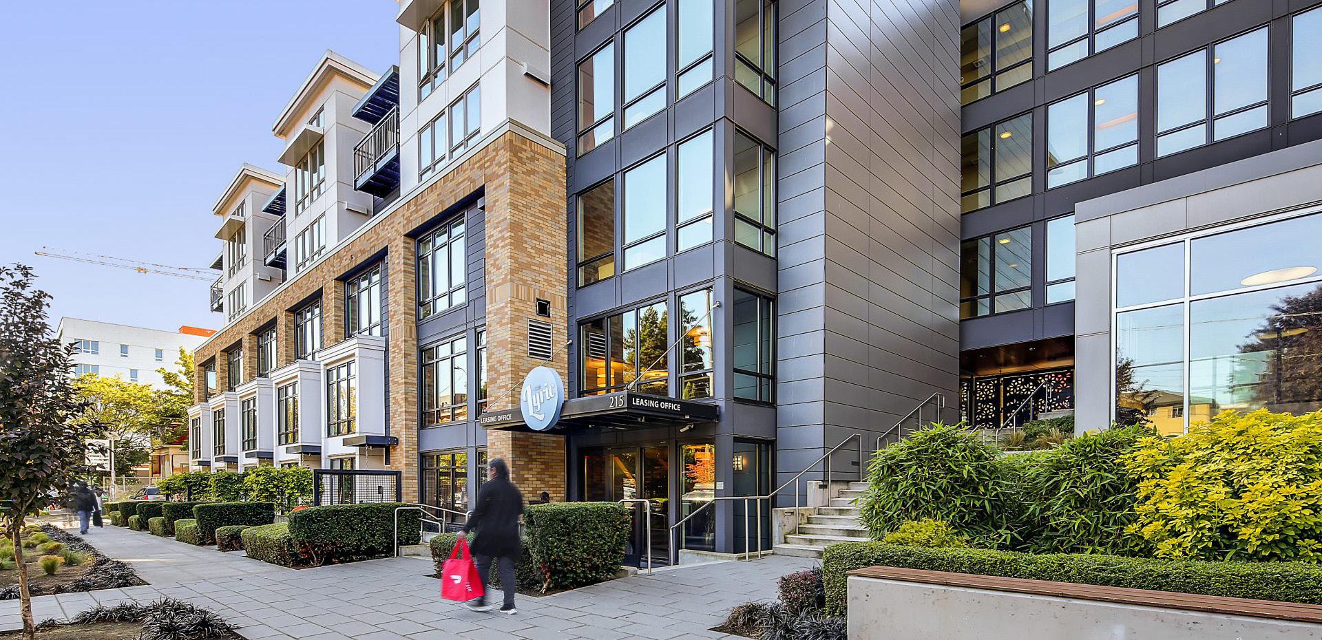
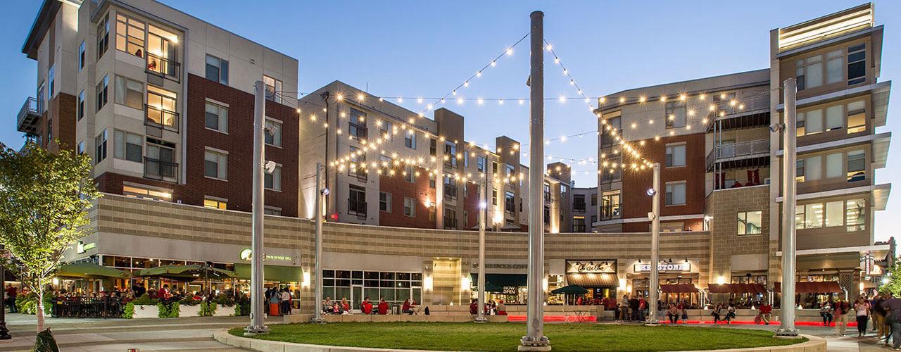
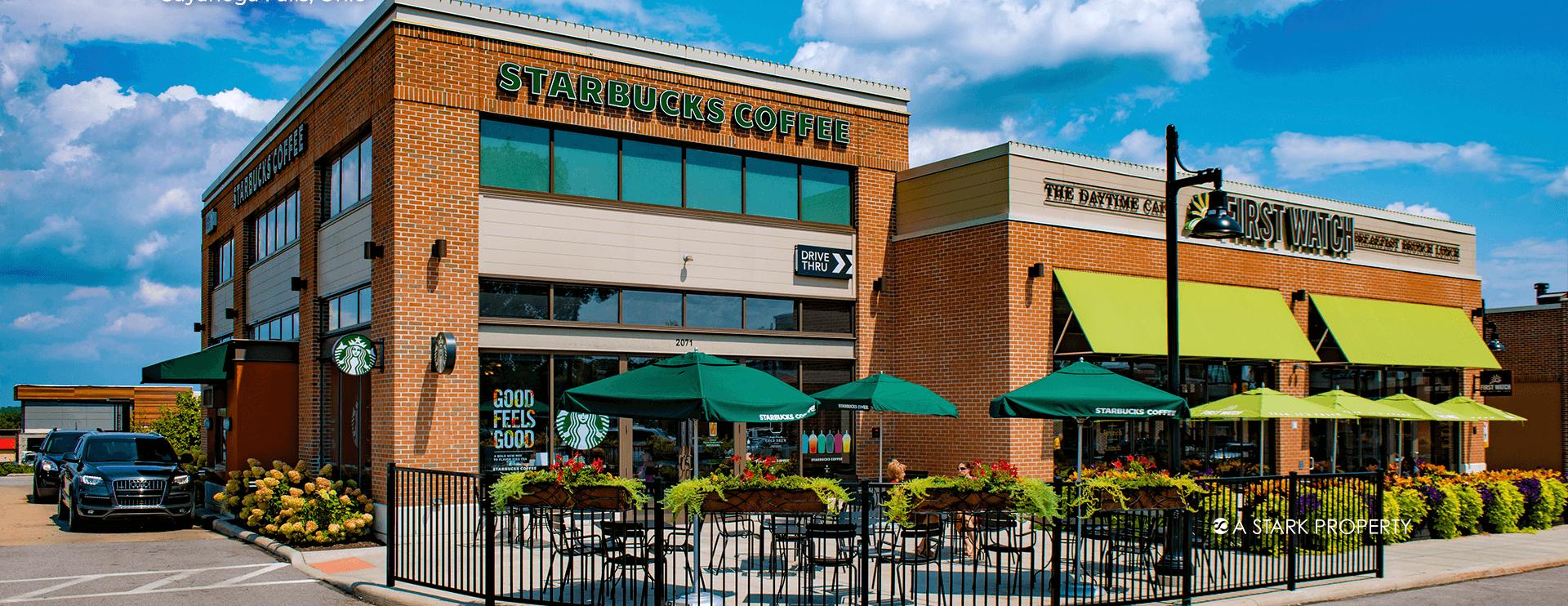
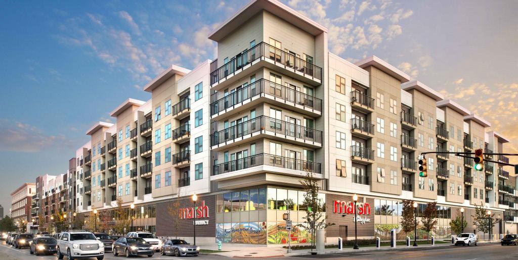
 Orleans Landing, Detroit, MI Van Aken, Shaker Heights, OH
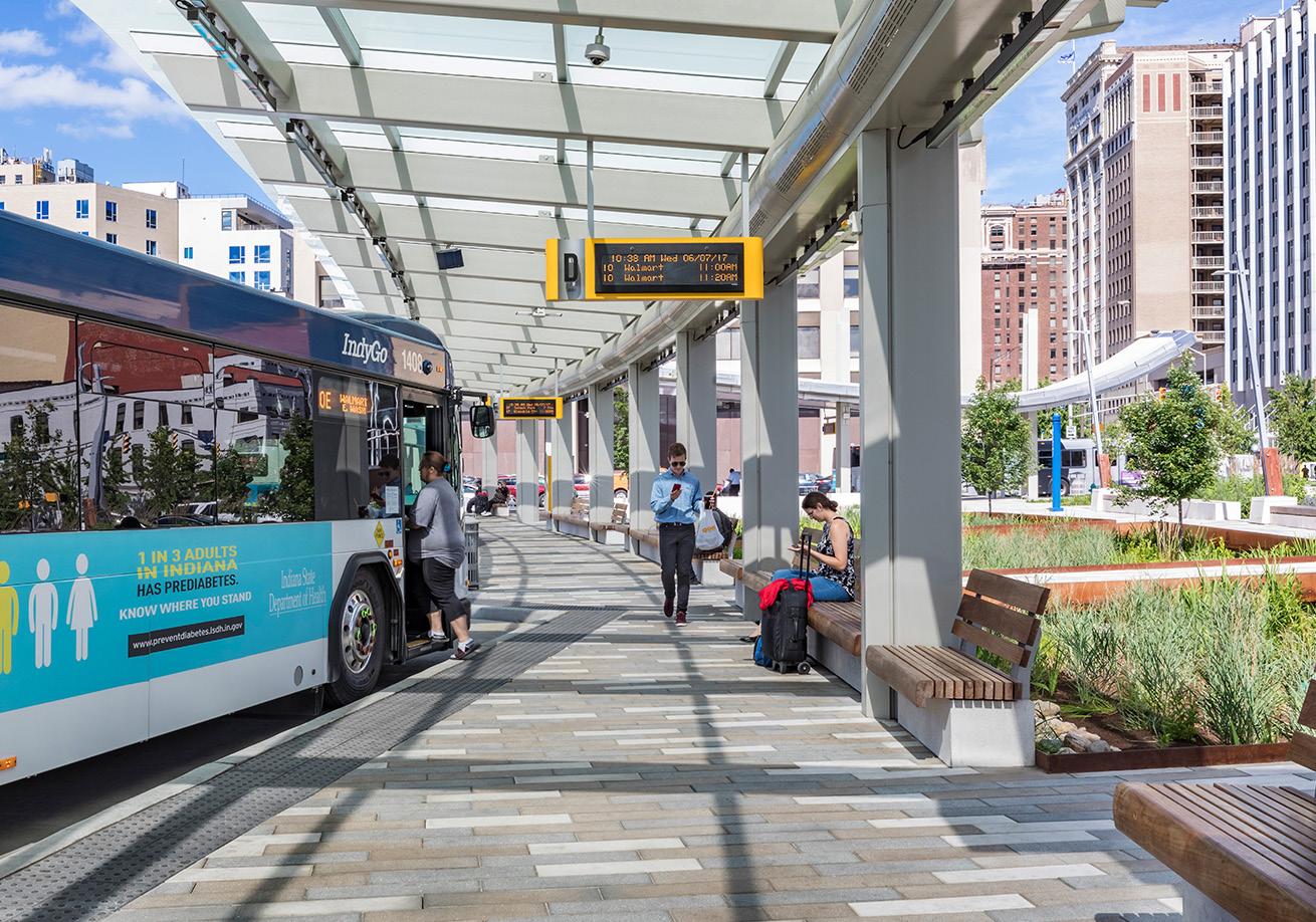
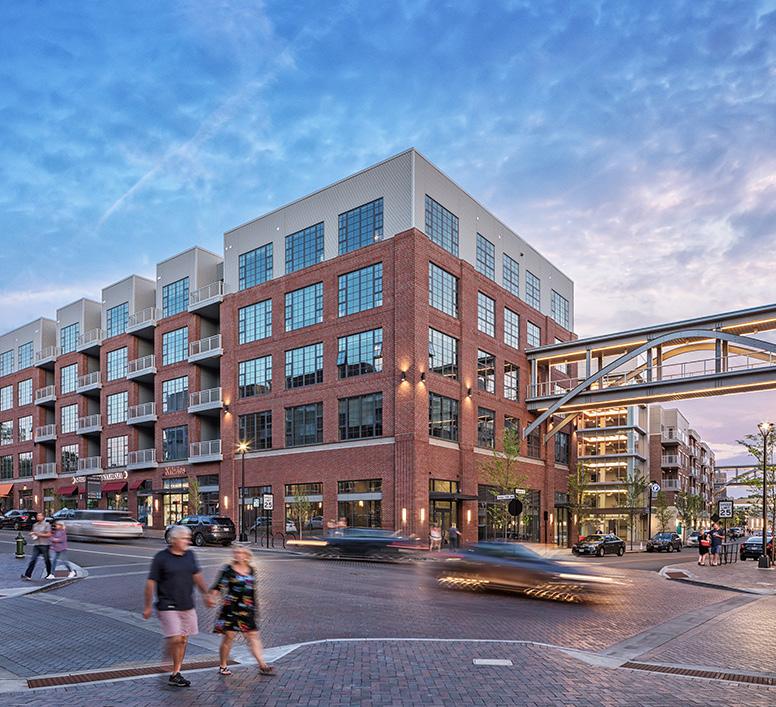
Julia Carson Transit Center, Indianapolis, IN
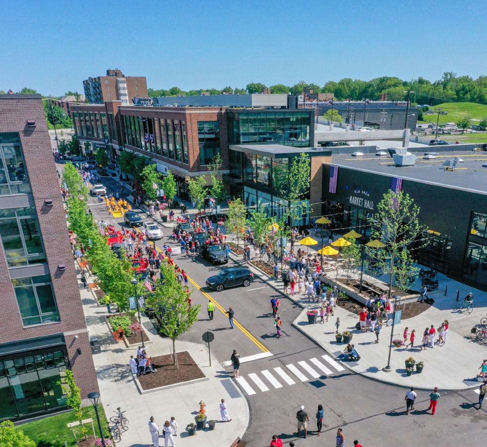
Bridge Park, Dublin, OH
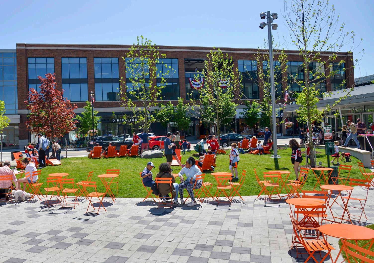
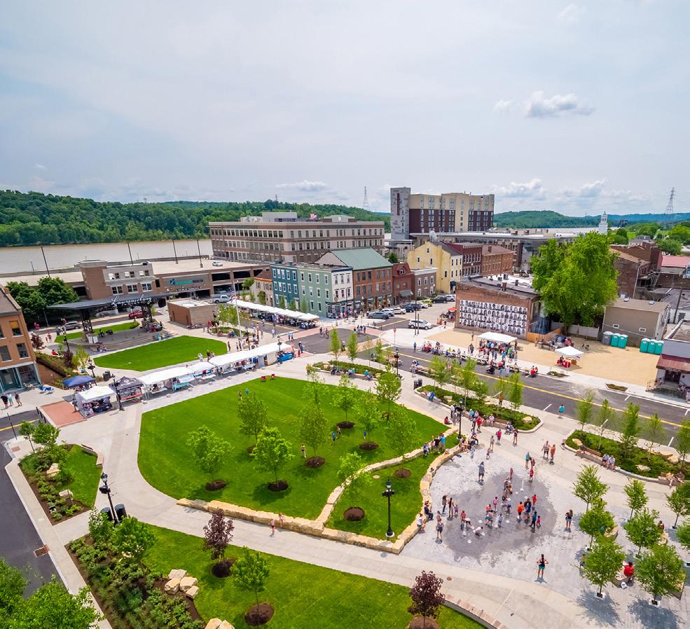
Lawrenceburg Civic Park, Lawrenceburg, IN
Orleans Landing, Detroit, MI Van Aken, Shaker Heights, OH
Julia Carson Transit Center, Indianapolis, IN
Bridge Park, Dublin, OH
Lawrenceburg Civic Park, Lawrenceburg, IN
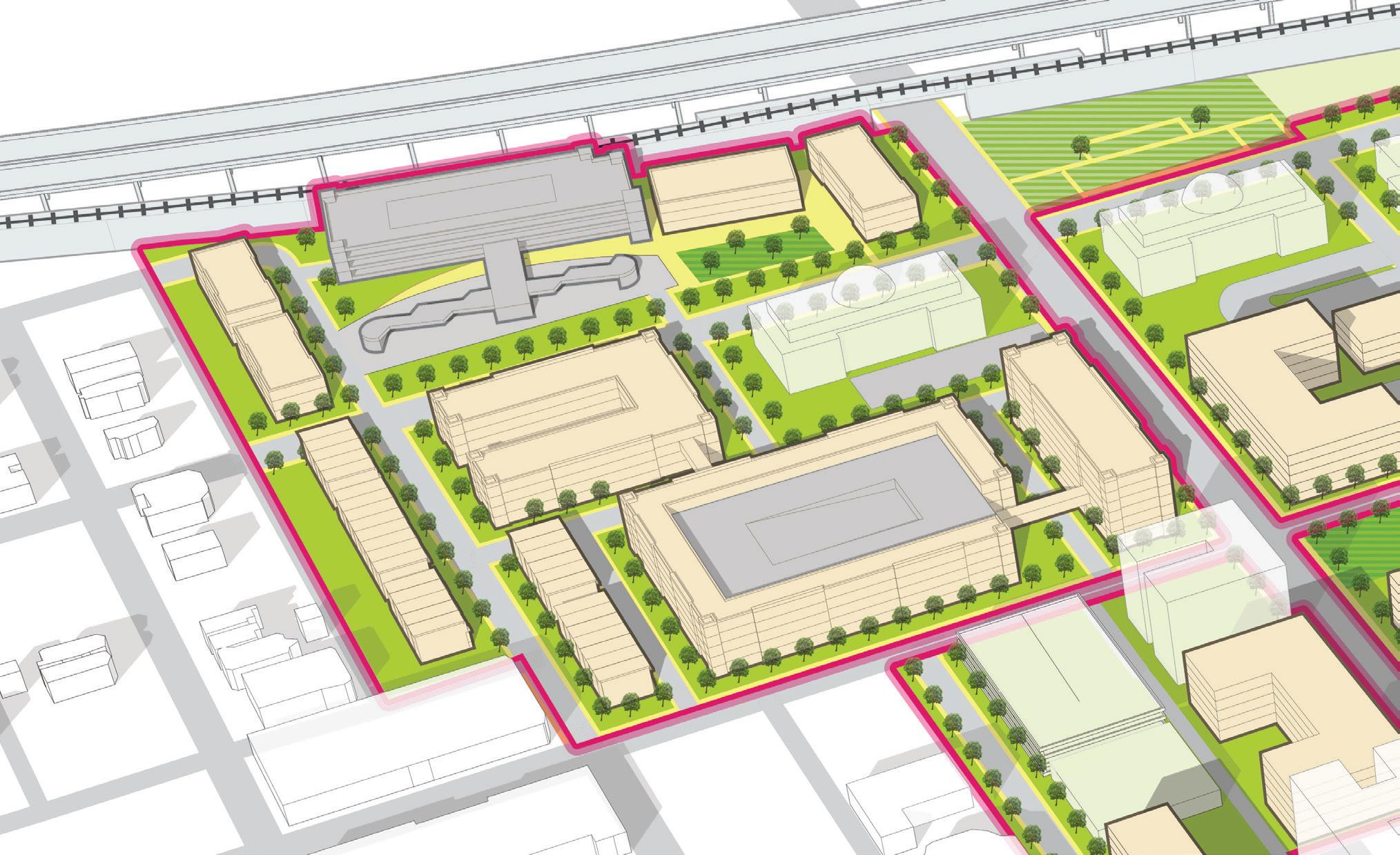

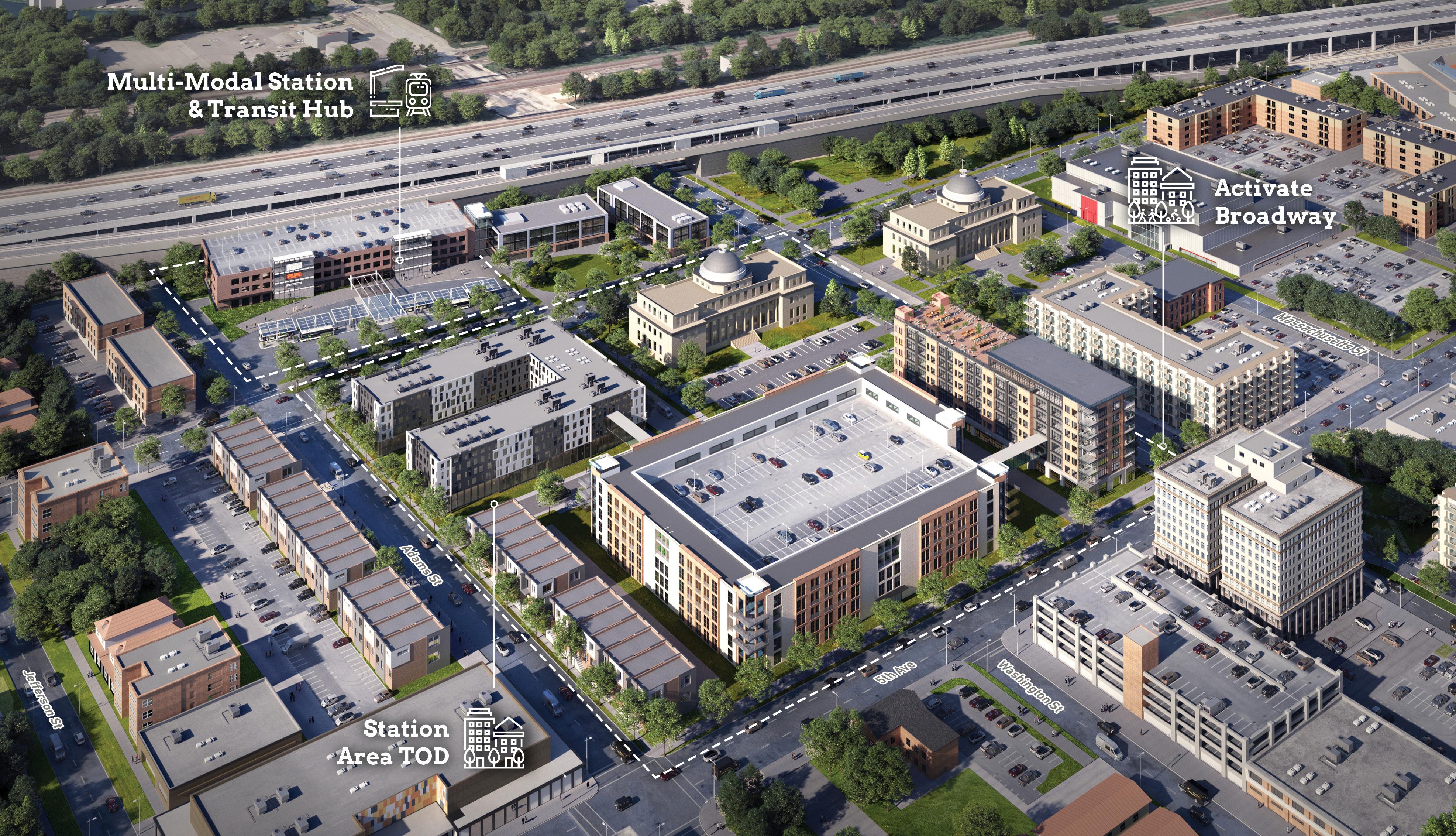
NICTD & GPTC Lobby and Micro-Retail Opportunities
ADA-accessible, Secured Parking (420 spaces)
12 GPTC & Shared Bus Bays
Adams Street
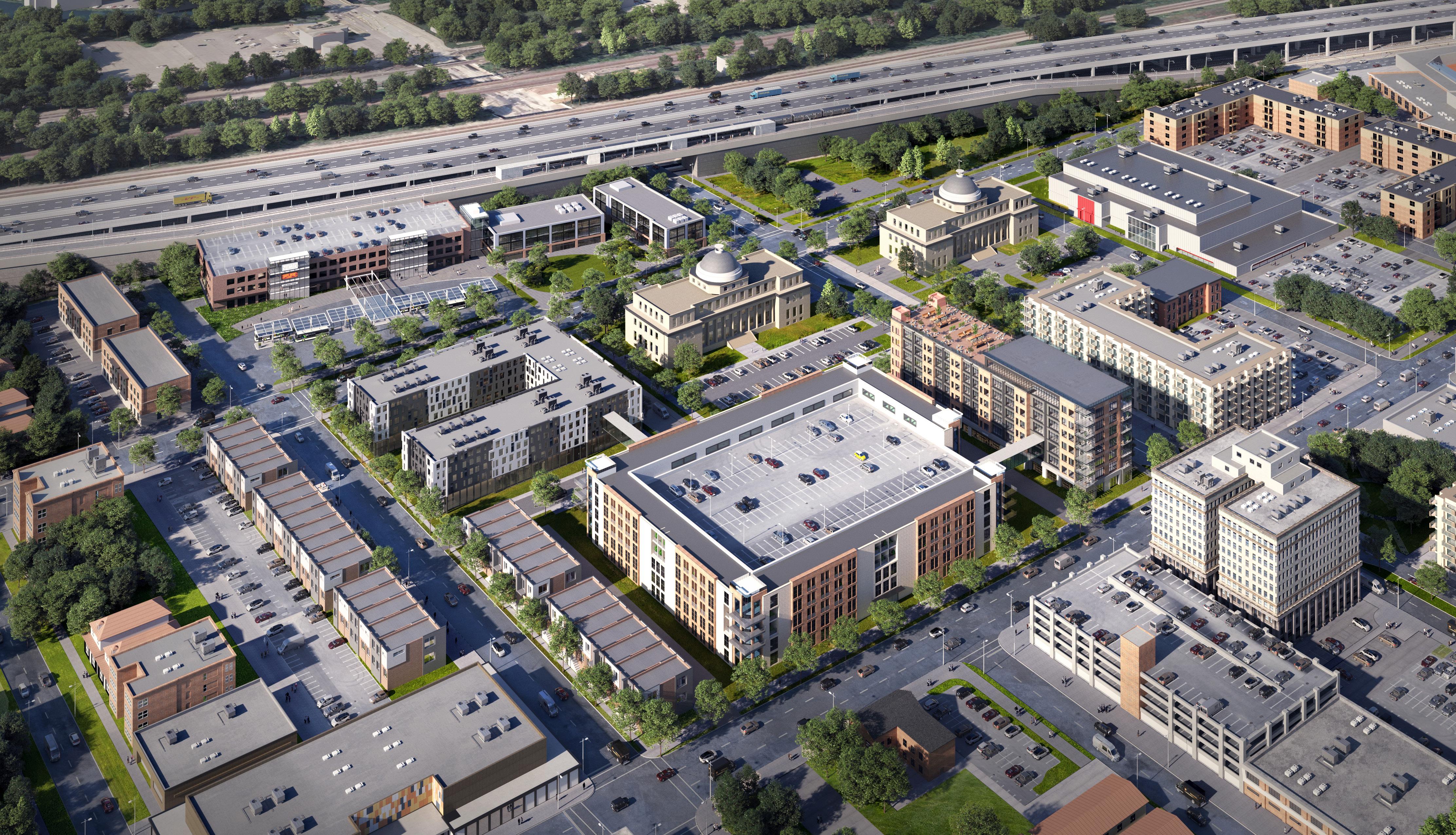
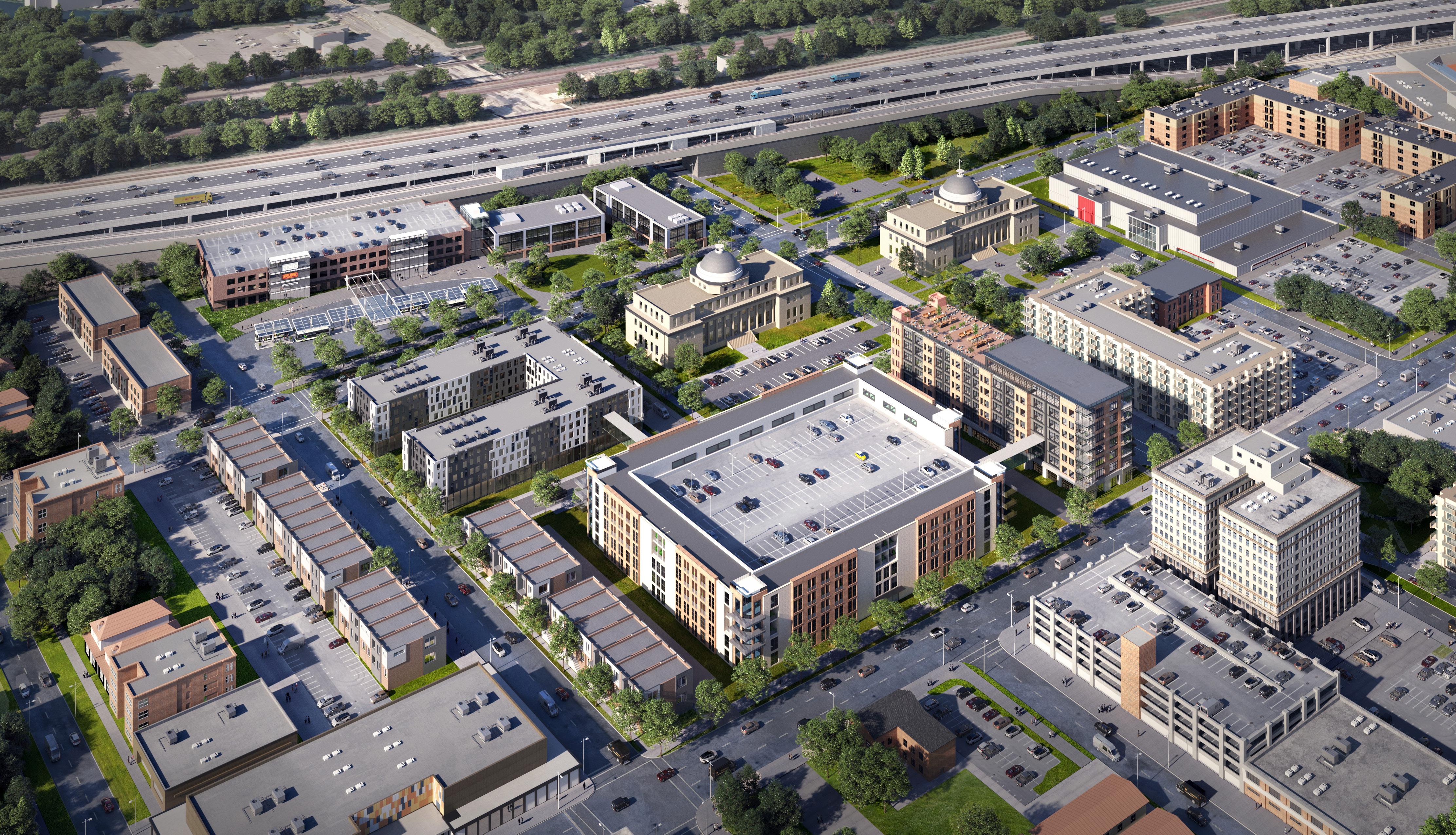
PHASE 1 INVESTMENT: NICTD Platform
PHASE 2 DEVELOPMENT PARCEL:
Mixed-Use Transit-Oriented Development
PHASE 1 INVESTMENT:
New Multi-modal Station & Parking Deck
Stadium Adjacent
Infill Multi-Family
4th Avenue
Rowhouse Development Infill
PHASE 2 DEVELOPMENT PARCEL:
Mixed-Use Transit-Oriented Development
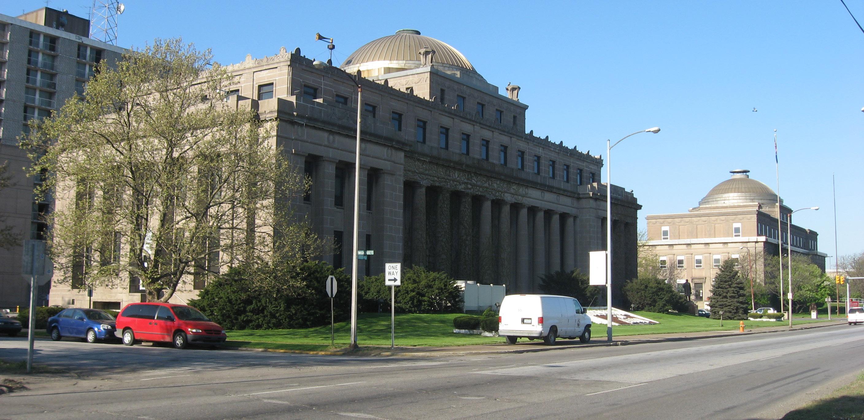
Lake County Superior Courthouse
Broadway
City Hall
Mixed-Use & Office, Anchoring 5th Ave & Broadway
5thAvenue
Gary Bank Building & Parking Structure
Hudson-Campbell Sports Complex Adams Street
Downtown Infill
Multi-Family
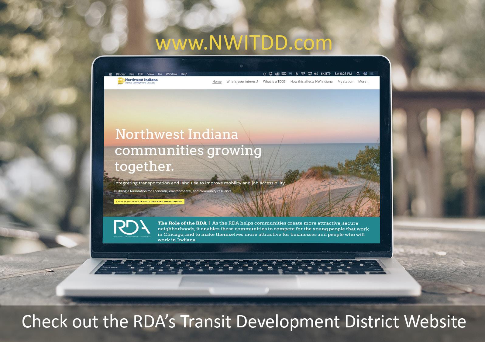
also linked on the RDA’s main website
learn more and follow this process
1 vISIT INfORMATIONAL GALLERy
2 vISIT wEBSITE (www.NwITDD.com)
3 REfINING BOUNDARy wITh LOCAL OffICIALS
4 RDA BOARD PUBLIC hEARINGS
5 STATE BUDGET COMMITTEE REvIEw AND APPROvAL
Q&A we appreciate your time and comments