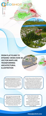

FROM FLAT PLANS TO DYNAMIC VIEWS HOW 3D VECTOR MAPS ARE TRANSFORMING ARCHITECTURAL ILLUSTRATION Flexible Layouts
3D Architectural Illustration presentations have typically utilized flat blueprints and formats that display 2D layouts These are common formats and are viable for technical purposes, but do not permit the depth (size), scale (context), or creativity of a design in the narrative 3D Vector Maps are poised to change that for architects, planners, and designers
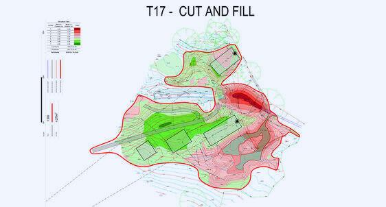
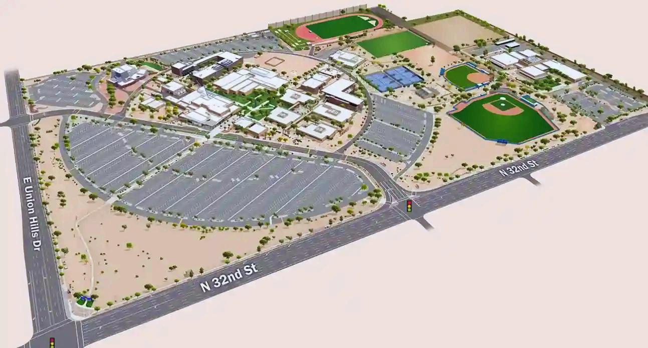
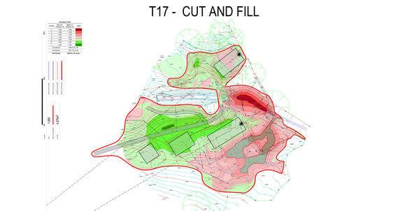
A 3D Vector Map is a product different from static drawings; it requires precision and the ability to scale, but it is also dynamic and visceral 3D Vector Maps allow for and change the representation of complex data into clear, intuitive visuals that display not only the buildings but also the spatial relationships, topography, and urban layout For Commissioning Clients, this translates to easier comprehension of the design intent, speedier information processing, and higher engagement on the part of participants
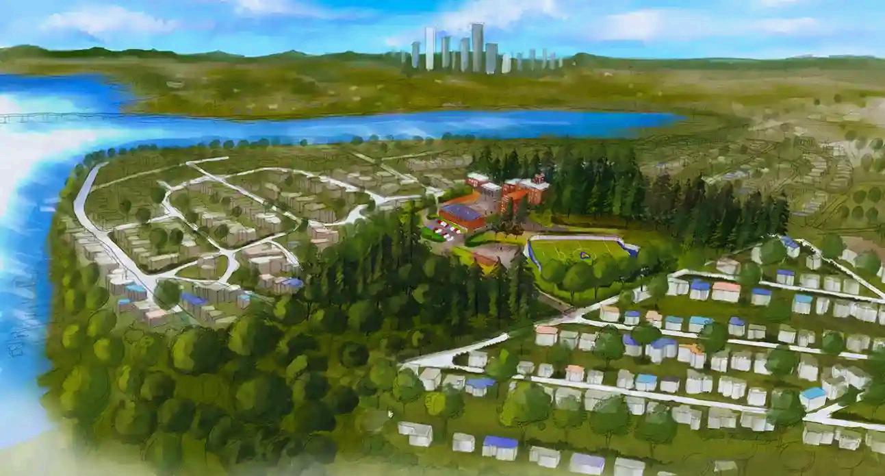
When illustrations are paired with 3D Vector Maps, they become tools that facilitate the story of how a space will look, feel, and function within its intended environment This is the case whether visualizing a city block, planning a piece of infrastructure, or communicating a real estate development 3D Vector visual communicates effectively
Overall, these tools have merit from a technical outcome standpoint, but are transformational in environments where a clear, impactful visual constantly reminds us how it should all come together
https://geoshott.com/ https://geoshott.com/