

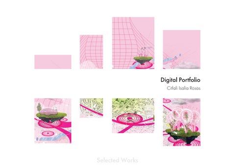
Digital Portfolio
Citlali Isalia Rosas
Promoting Wellbeing in a Multiethnic Community: Expanding Interations of Human and Ecological Systems Through Sustainable Urban Connectivity


This thesis is a responsive design that expands and connects public spaces in a sustainable manner, with the ultimate goal of facilitating socio-environmental resilience. This is achieved through a holistic approach that considers the interconnections between social, economic, and environmental factors. By integrating mobility and public spaces with environmentalism,
significant development concerns such as water consumption and production, biodiversity loss, and climate change adaptation can be effectively addressed. By creating public spaces that are accessible, inclusive, and attractive to people from diverse backgrounds, the proposed design can help to foster a sense of belonging and social cohesion among residents. In addition,
by prioritizing the needs of local communities in the design process, the proposed design can help to promote a sense of ownership in the public spaces, further strengthening social cohesion. By enhancing social connections and networks within communities, the proposed design can contribute to building a more resilient and sustainable future for the city.
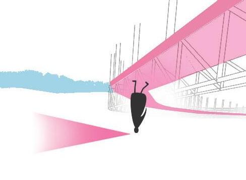
How to facilitate socio-environmental resilience through urban planning?
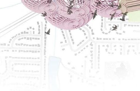
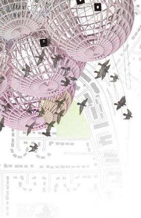
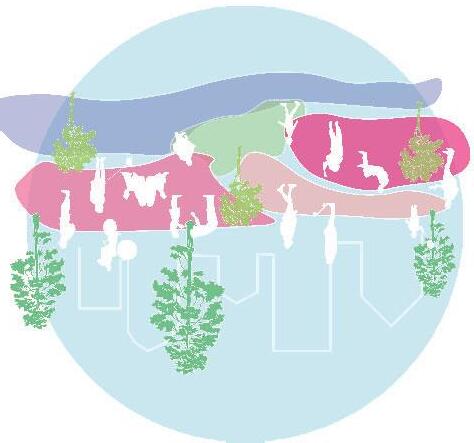
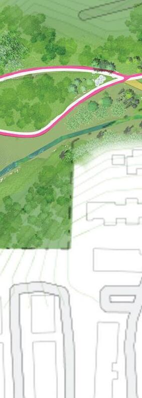
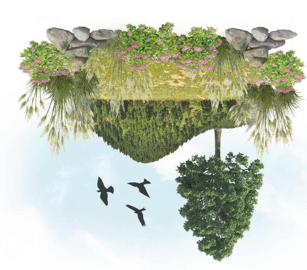
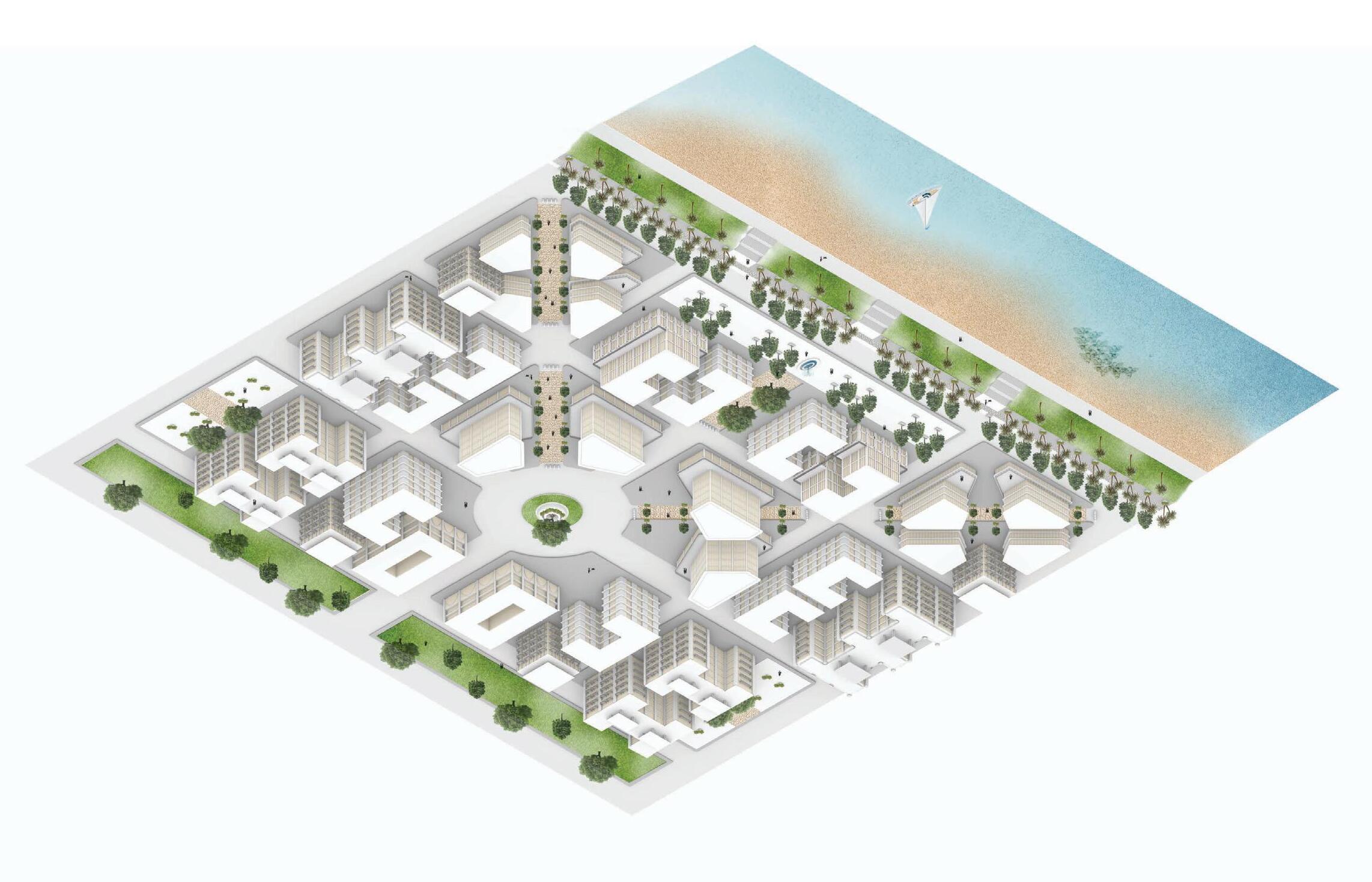
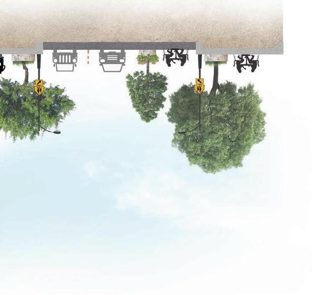
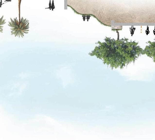
This project addresses the challenge of integrating natural ecosystems with urban environments in a way that achieves economic and social equity without further degrading the environment. There’s a strong emphasis on integrating green infrastructure, such as incorporating eco-remediation and integrating the forest park, to reduce the impact of extreme weather events and provide valuable ecosystem services to urban area. The
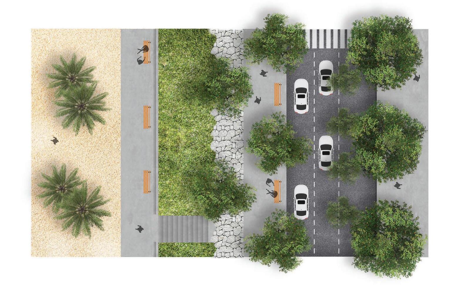
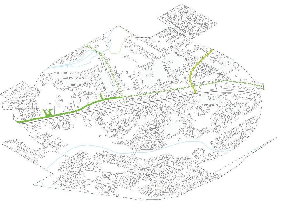
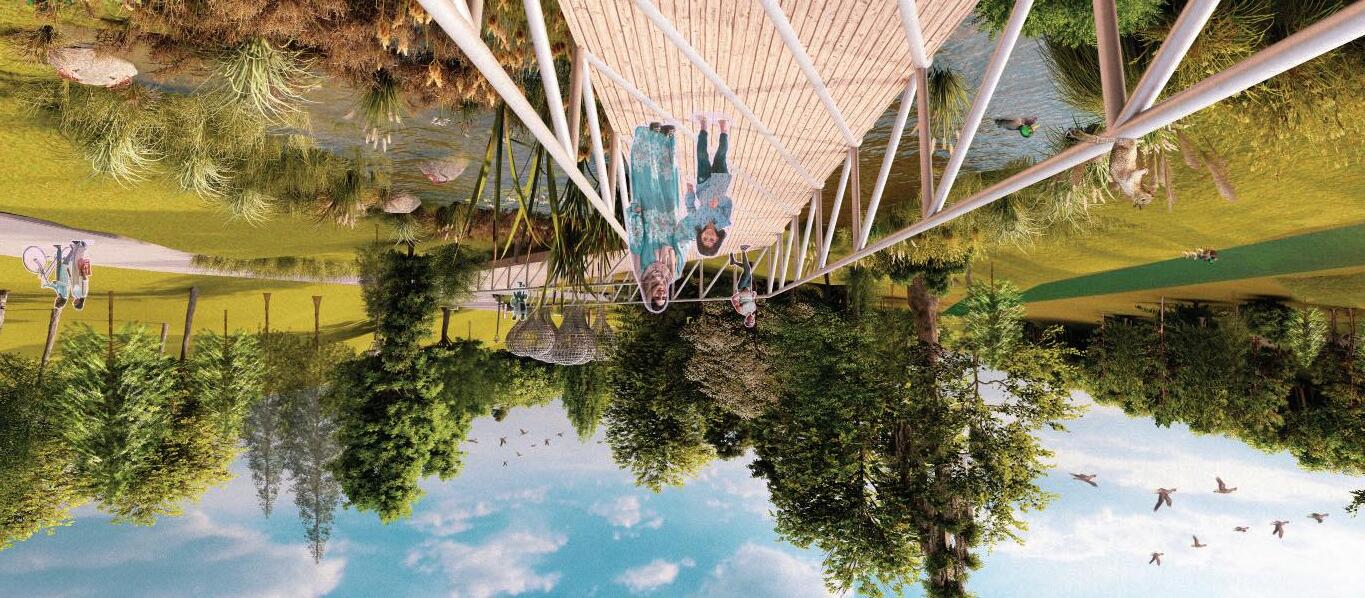
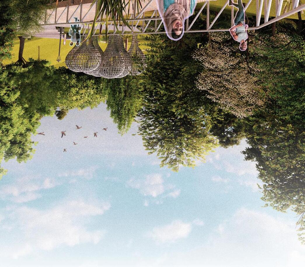
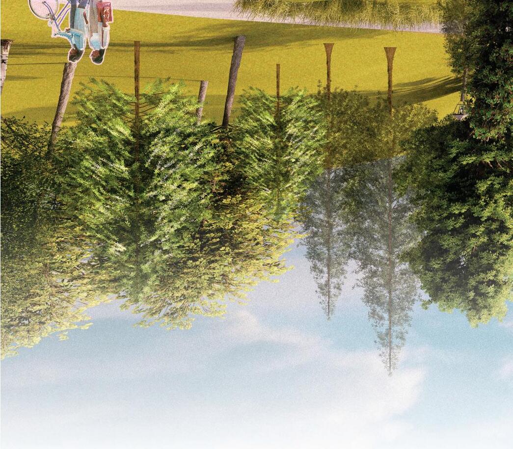
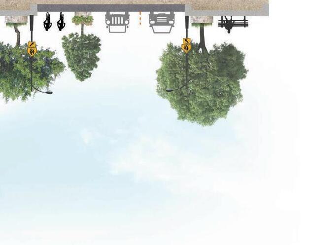
design features a greenway that integrates the future bike path of Clarkston’s urban environment, creating connectivity throughout Friendship Forest Park and the city while preserving South Indian Creek located in the park and prioritizing sustainable transportation options, such as walking and cycling. Incorporating this greenway will create a stronger connection to neighborhoods, existing pedestrian
networks, and public transit as it will allow people to engage with the site. Additionally, this project aims to foster social cohesion by designing multifunctional pavilions that promote social interaction, community engagement, and enhancement of local biodiversity. Thereby, building social capital and creating a sense of shared environmental responsibility. Ultimately, the design aims to improve the quality of Clarkston’s public realm
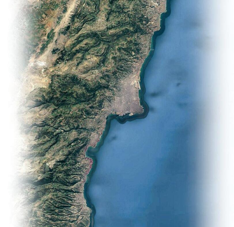
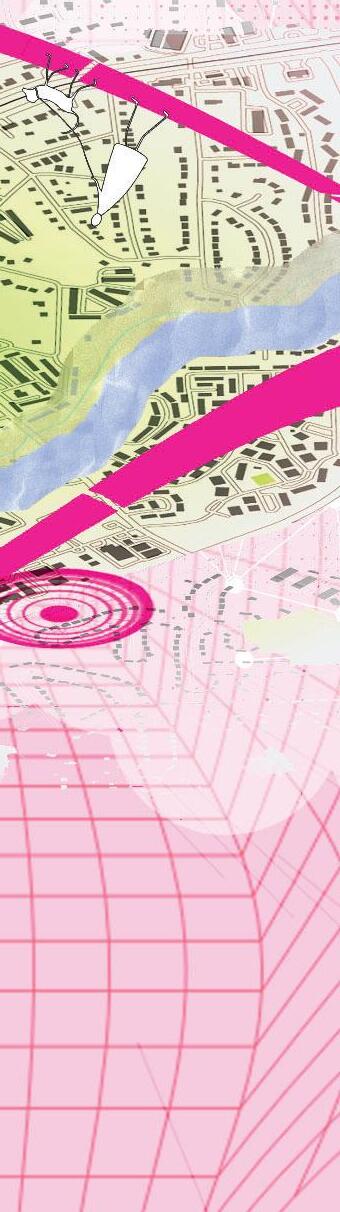
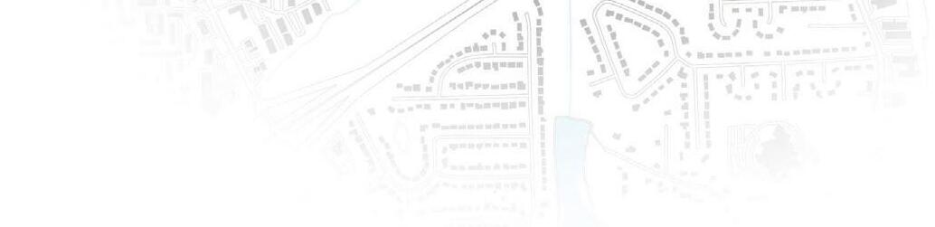
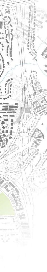
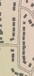
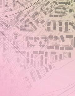
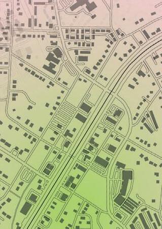
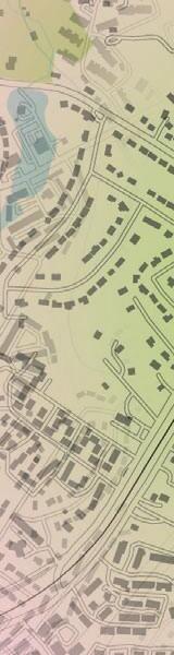
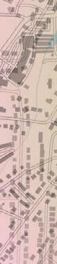
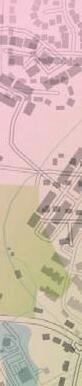
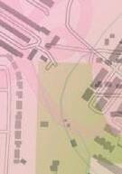
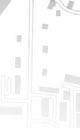
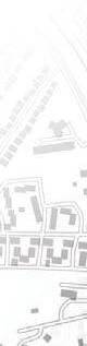
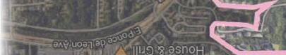
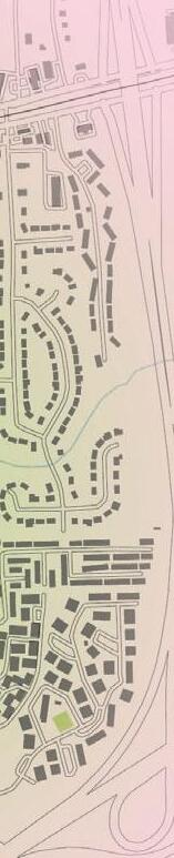
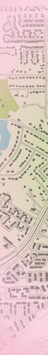
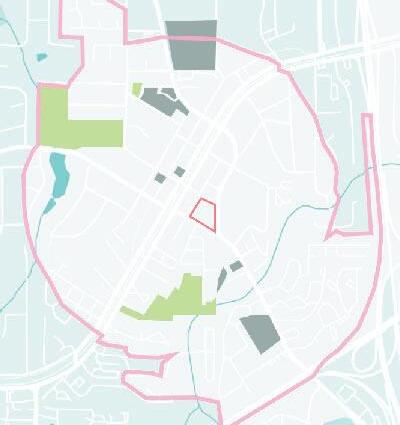
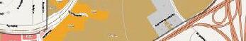
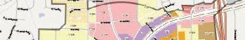
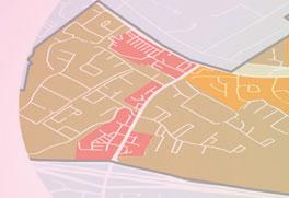
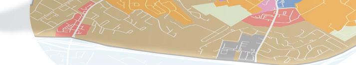
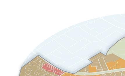
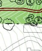
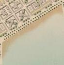
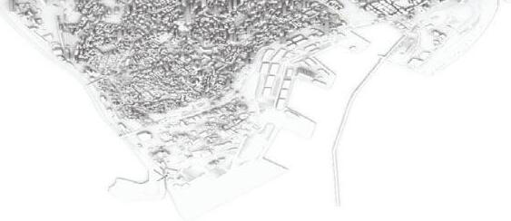
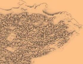
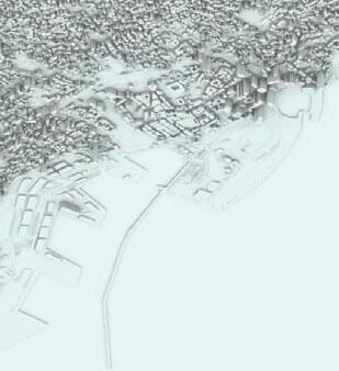
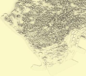
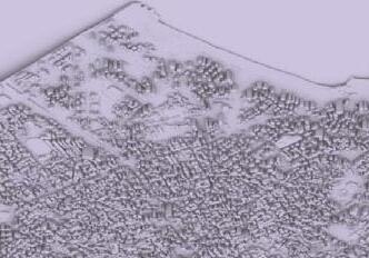
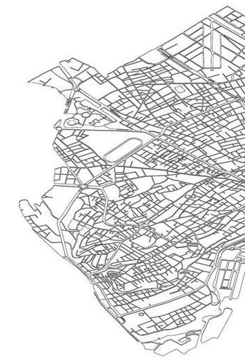
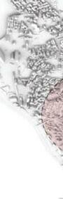
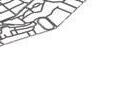
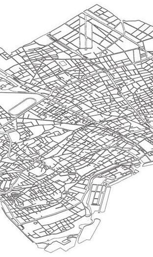
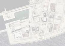
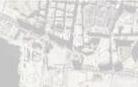
The study area is defined as the city limits of Clarkston. It is located approximately 10 miles North East of Atlanta, 5 miles East of Decatur, and 5 miles West of Stone Mountain. The area was developed due to this regional connectivity and the presence of the Georgia Railroad. The city is referred to as “the most diverse square mile in America,” Clarkston has gained recognition for its population made of various backgrounds that form a unique and multicultural community.
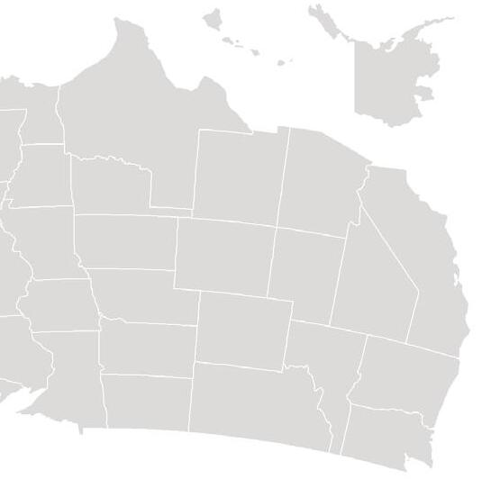


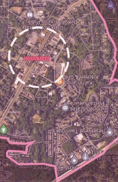

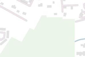
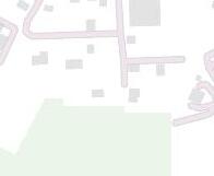
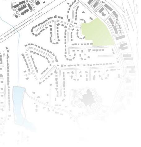


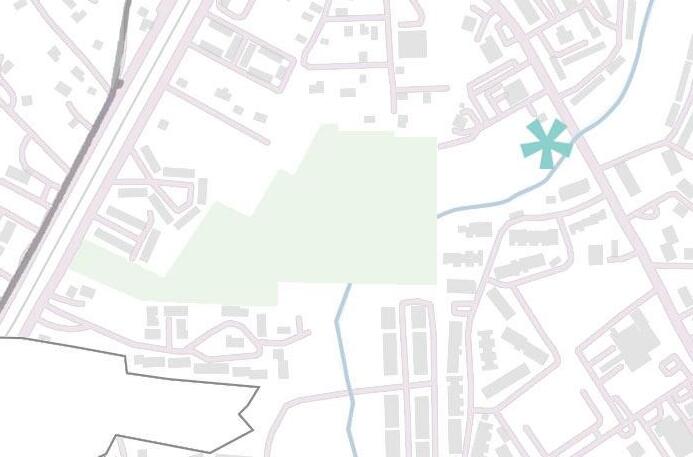
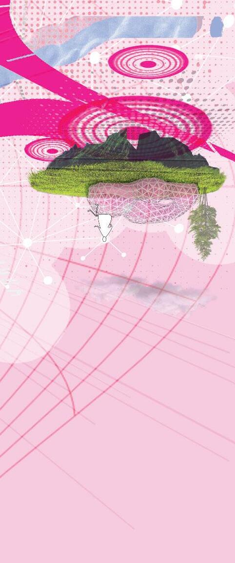
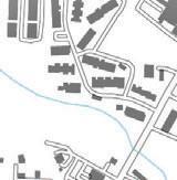
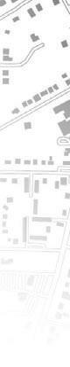
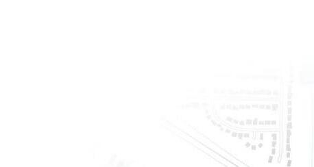
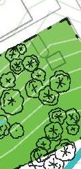
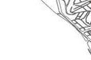
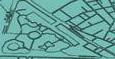
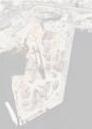
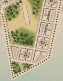
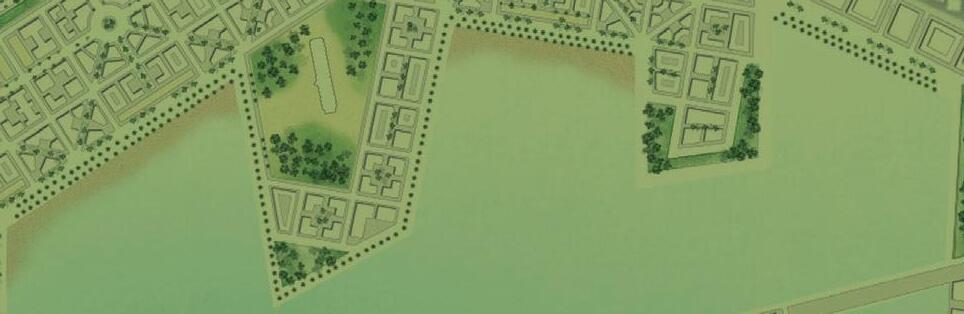
Site: Friendship Forest Sanctuary Park
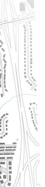


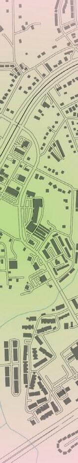


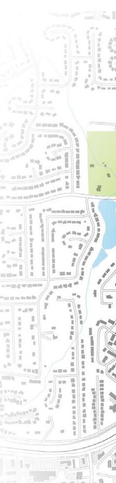


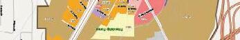


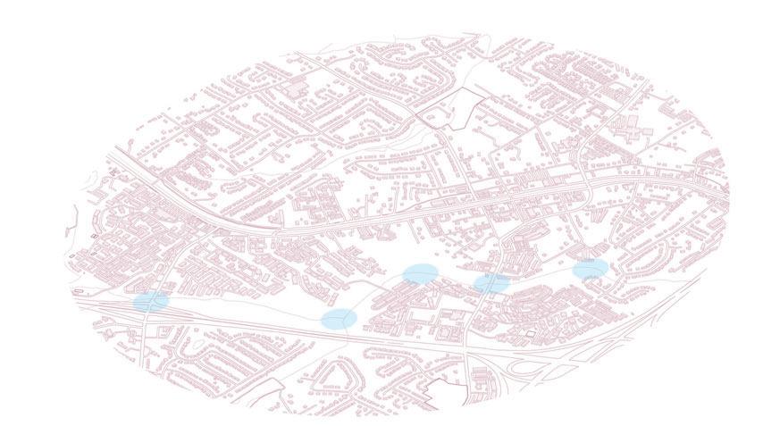
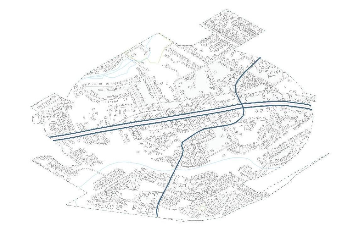

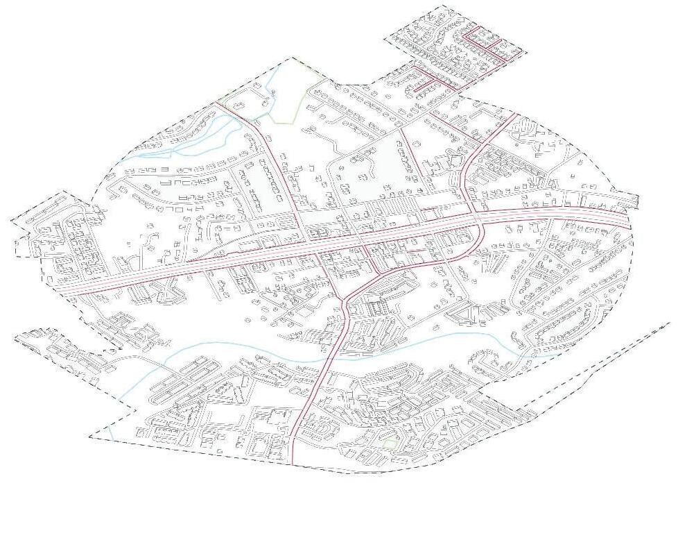


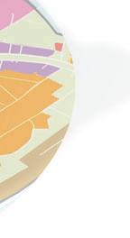
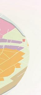
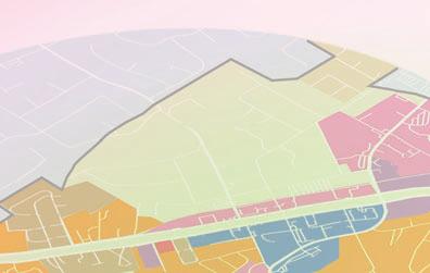


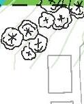

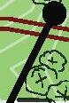


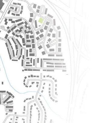
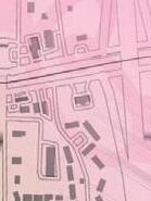
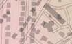
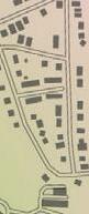
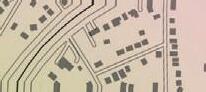
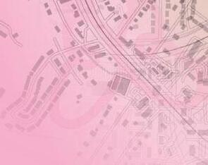
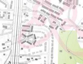
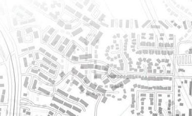
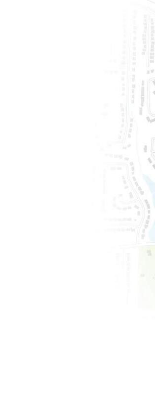
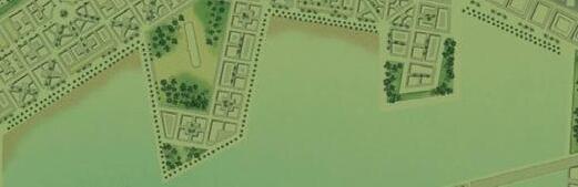
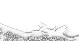
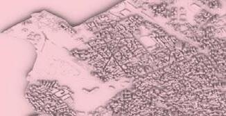
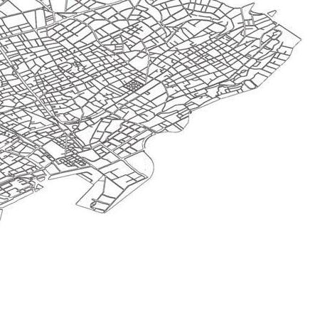
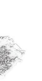
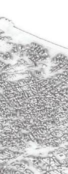
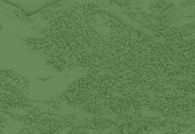
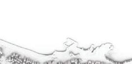
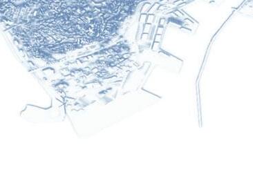
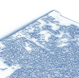
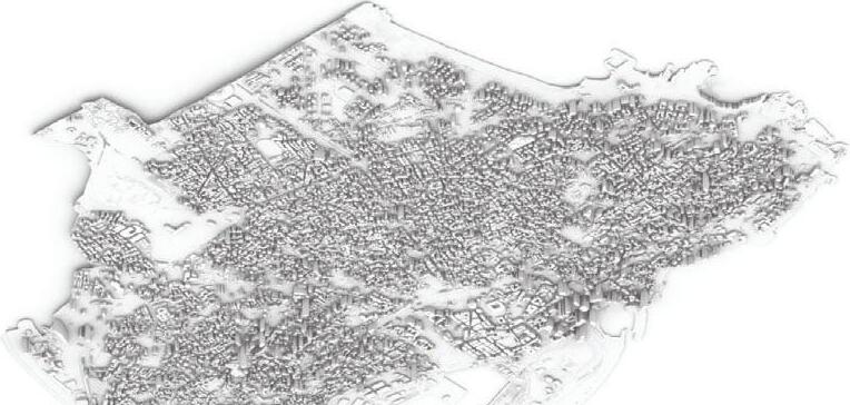
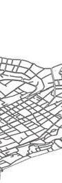
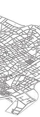
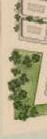
These diagrams capture the essence of Clarkston’s urban environment, showcasing its fragmented network, characteristics of sprawl, limited park areas, and the presence of opportunities for water access.
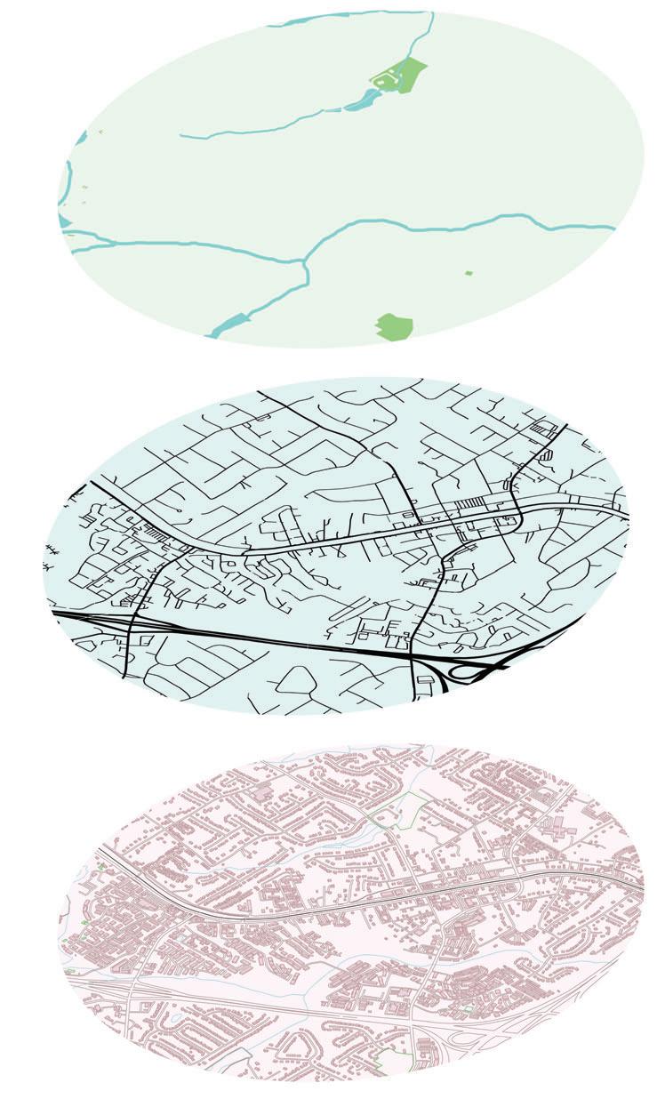


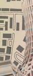
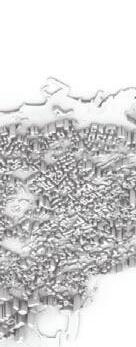
Distribution and density of buildings providing a glimpse into the city’s urban fabric.
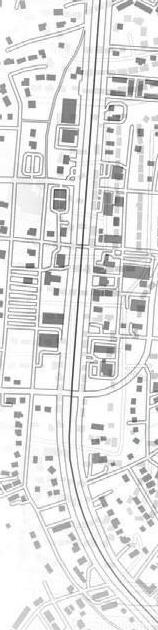
Existing infrastructure and city layout revealing disconnection and the presence of suburban sprawl.


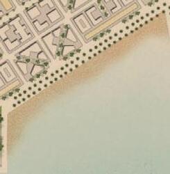
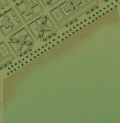
Parks and water bodies, limited green spaces and potential for water access.
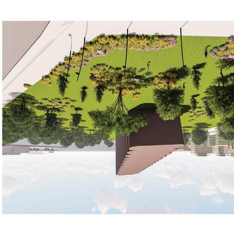
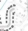
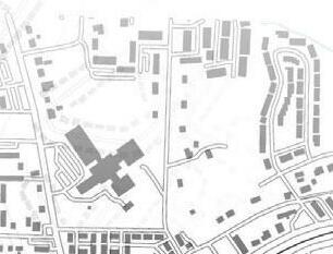
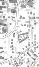
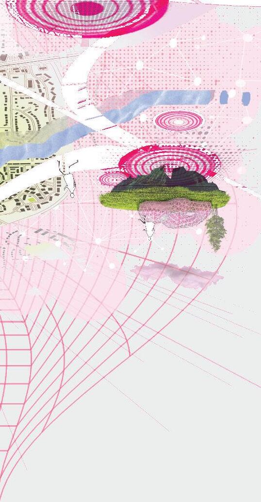
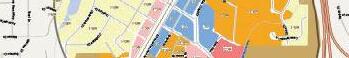
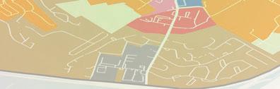
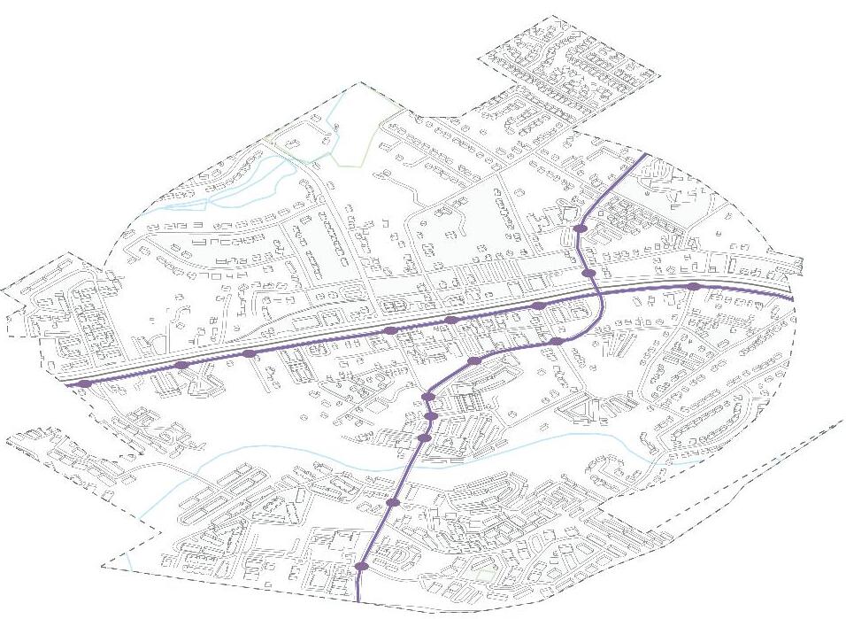
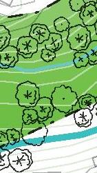
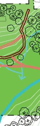
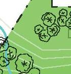
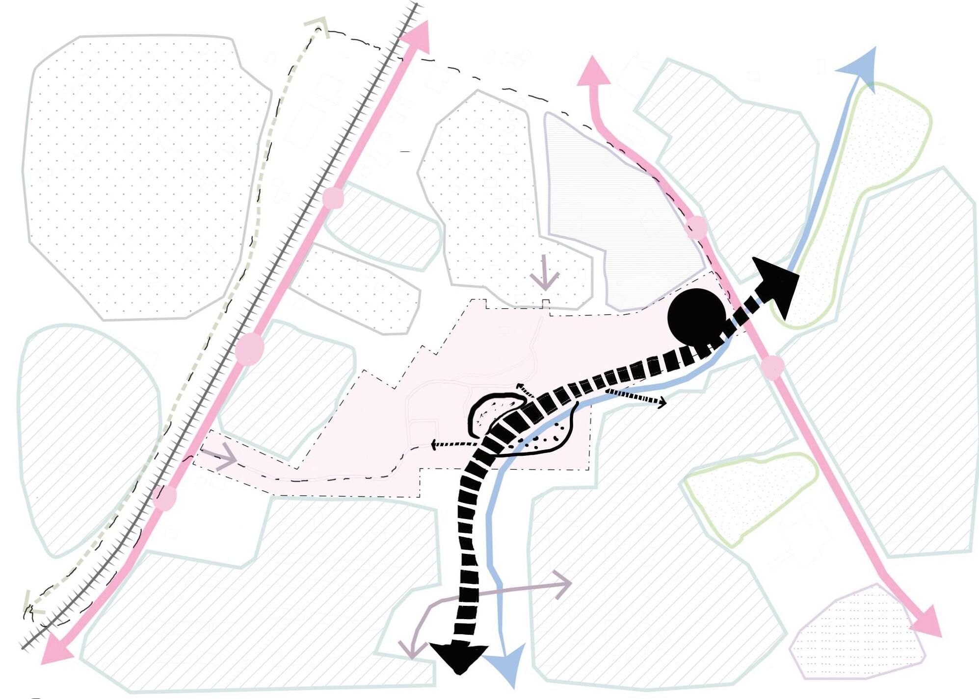
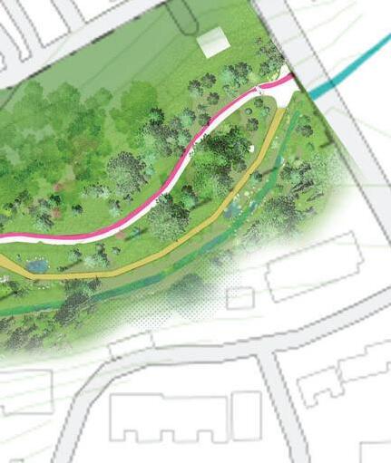
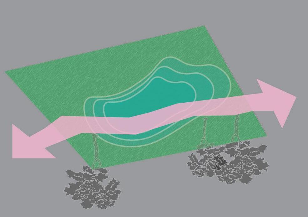
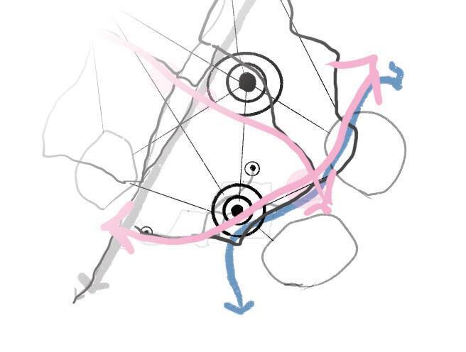
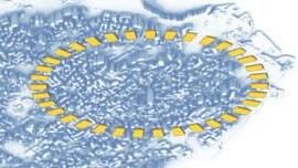
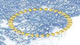
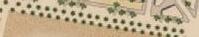
Lighter circles represent existing features of the site. These attractors are connected to each other by existing trails. Proposed nodes are depicted as darker circles that represent points where pathways can converge with the creek, creating a central points for activities. They are strategically placed by the creek to promote social interaction and connection to the natural system. The placement of nodes is carefully considered to promote pedestrian and bicycle access and create a sense of place that draws people to the site.
Incorporating green infrastructure:
This project prioritizes the incorporation of green infrastructure, such as integrating the forest park and incorperating eco-remediation, which can help reduce the impact of extreme weather events and provide important ecosystem services to urban area.
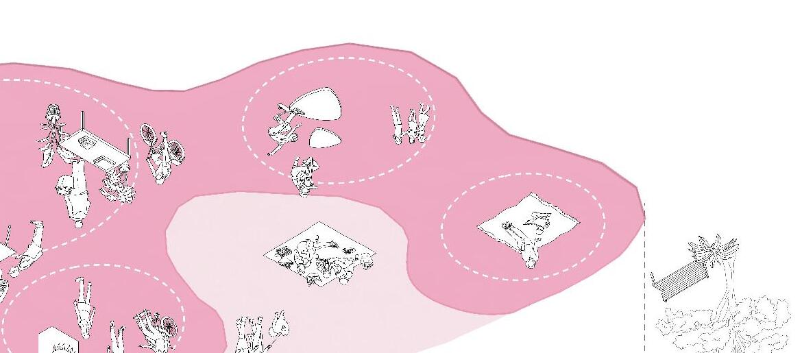
Fostering social cohesion by designing public spaces that promote social interaction and community engagement. This can help build social capital and create a sense of shared responsibility for the environment.

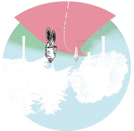
This project emphasizes sustainable transportation, such as walking, cycling, and public transportation, which can help reduce greenhouse gas emissions and improve air quality. This can also increase social equity by providing accessible and affordable transportation options.


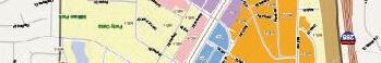
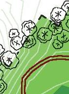
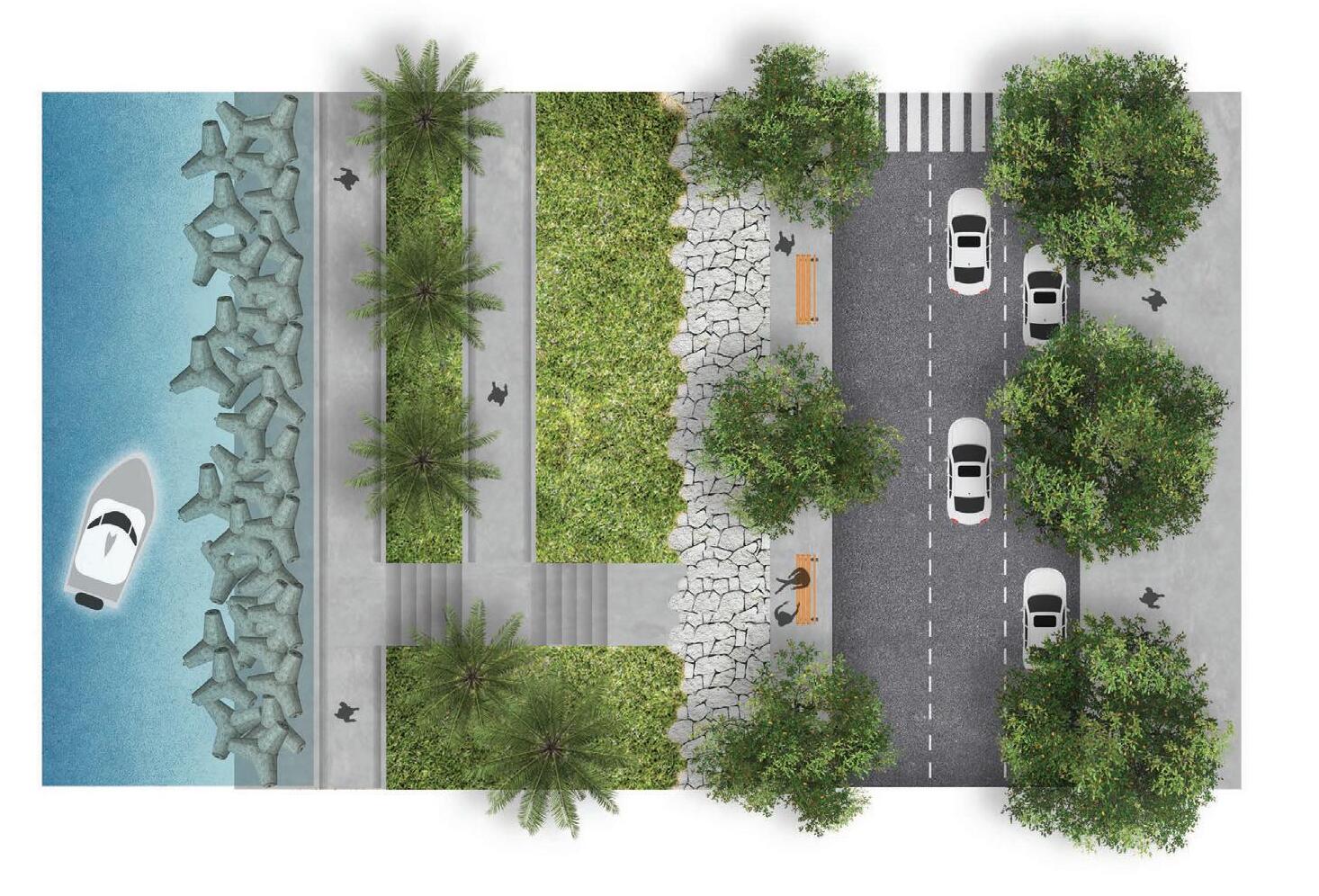
- Access to public space by creating a plaza. It becomes another entry point that connects people to the park.
- Bike loop that extends to established bike paths and future paths
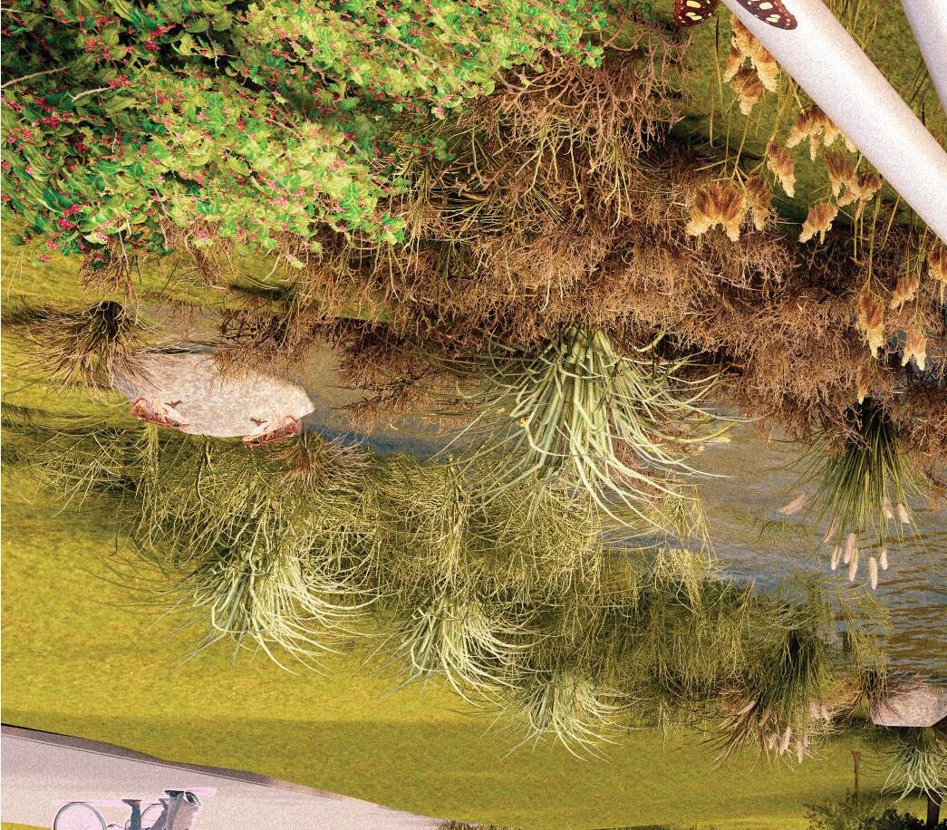
- Eco-remediation in the flood zones by forming a wetland and extending the creek
-Boardwalk pathway near the creek
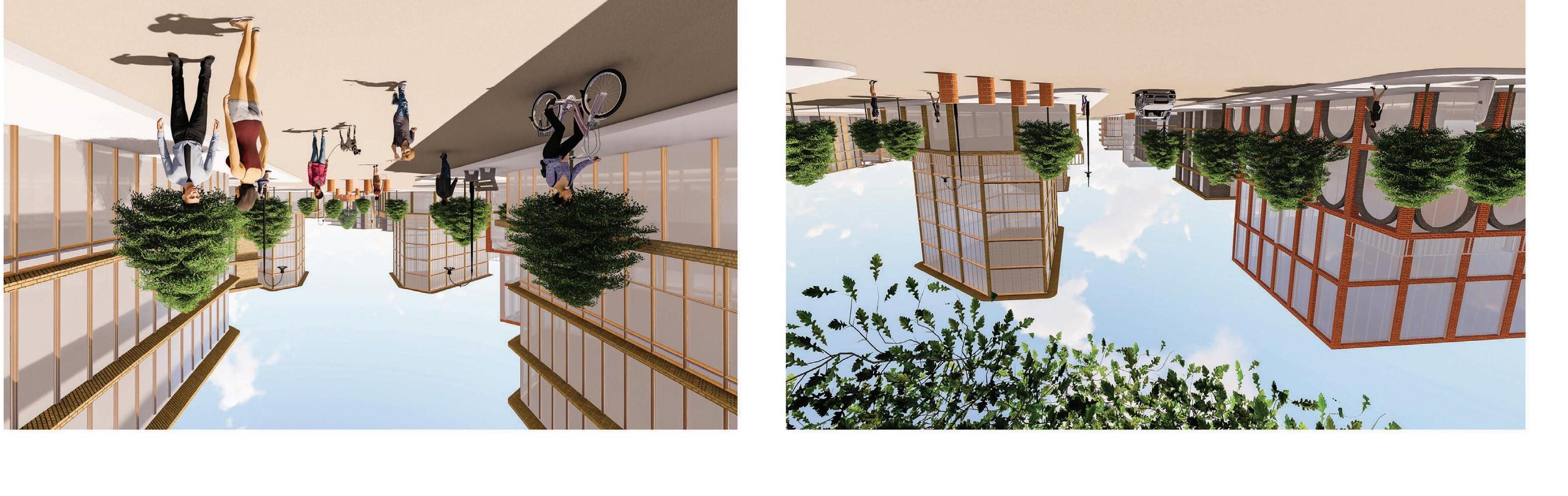
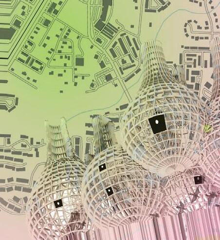
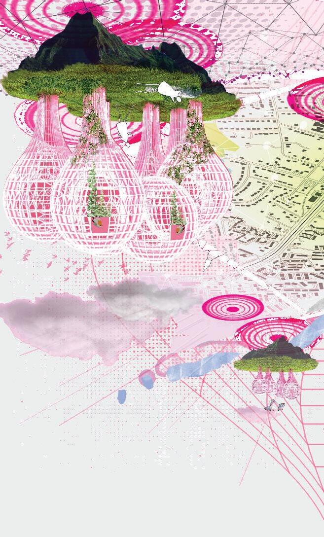
- Pavilions that allows for passive vertical farming and housing structure for local species
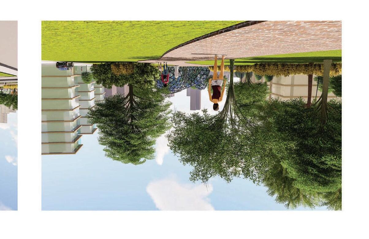
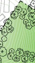
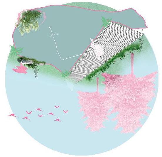
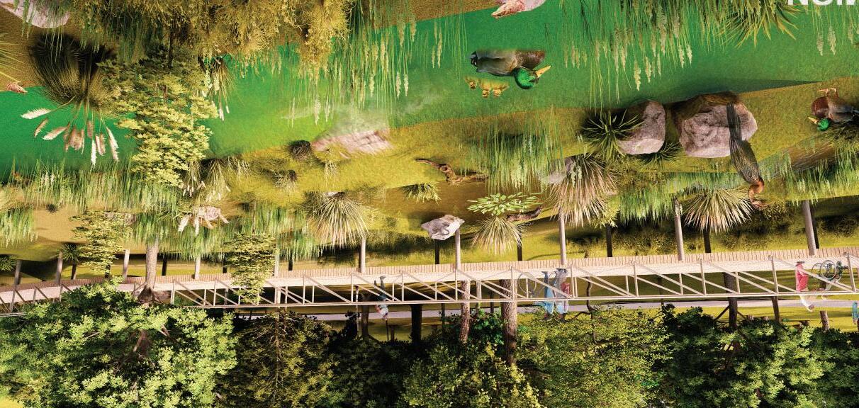
The elevated boardwalk serves as an educational tool, allowing visitors to learn about the importance of wetlands and the ecosystem services they provide, such as water filtration, flood control, and carbon sequestration.
This experience provides an unobstructed view of wildlife living in the wetland, offering visitors the opportunity to observe and photograph animals without disrupting their natural behavior.
The retention pond is designd to integrate with the natural environment, enhance ecosystem services, and promote sustainable development. People connect with nature and benefit from the ecosystem services wetlands provide.
It acts as a filtration system with wetland vegetation that helps remove pollutants, nutrients, and contaminants from the stormwater before it is discharged.
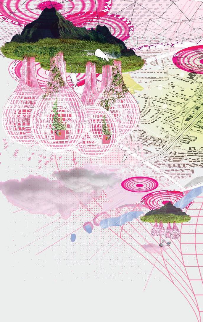
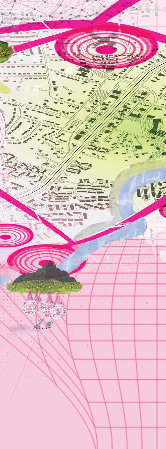
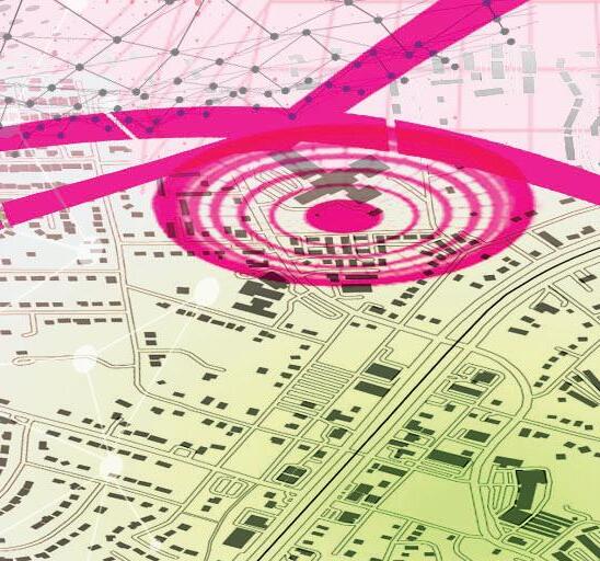
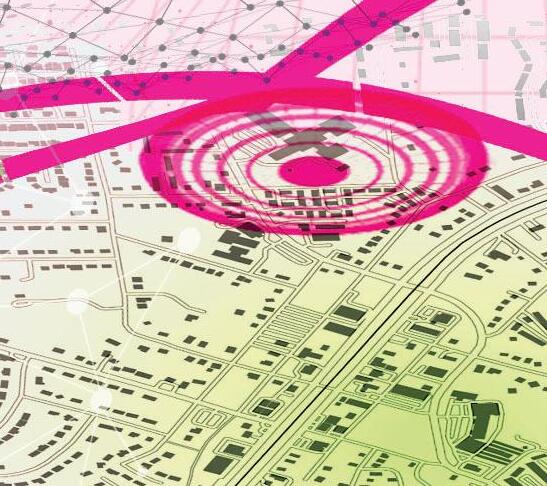
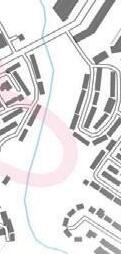
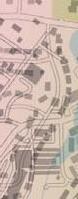
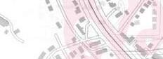
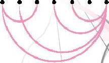
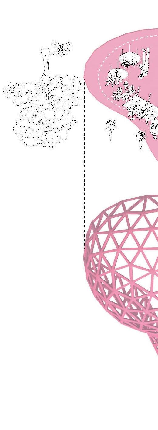
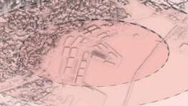
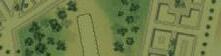
The diagram highlights in pink two strong networks that run between the neighborhoods, the community resources, and Friendship Forest Park. These paths represent the idea of sustainable connectivity that serves the community and local ecology. Where the lines cross is where the gateway plaza is located.
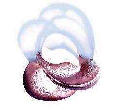
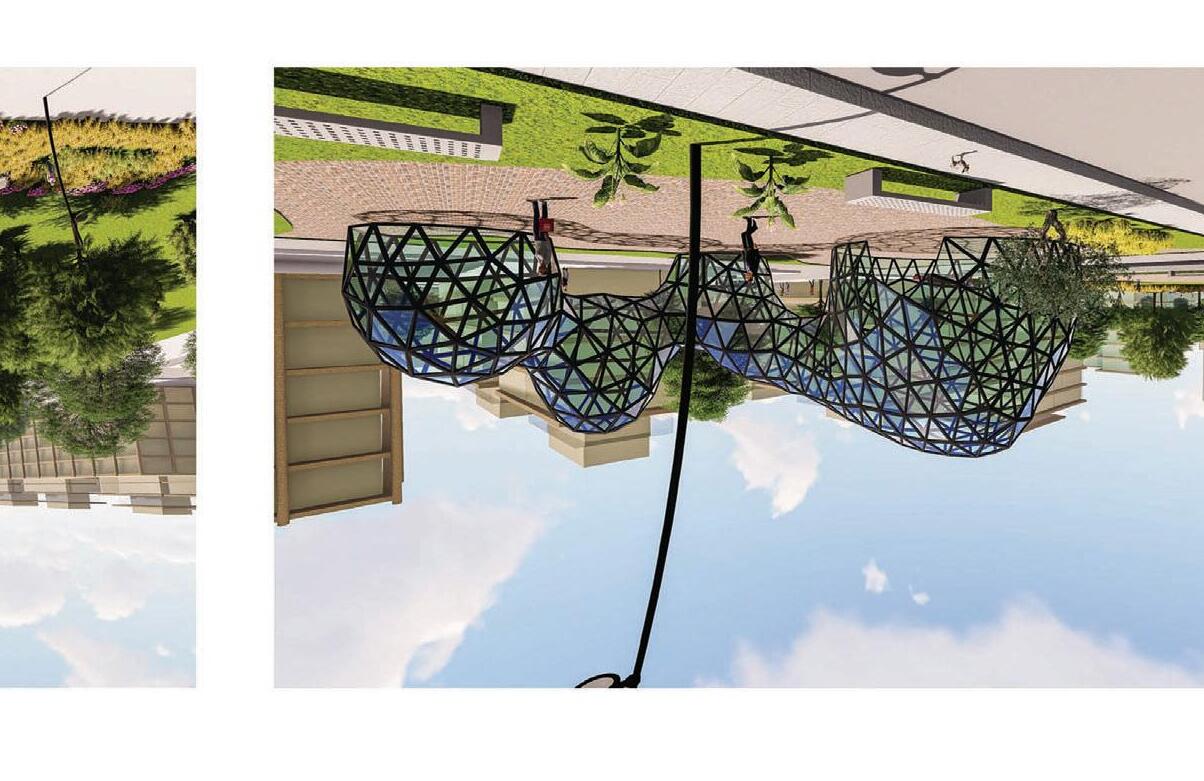
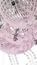
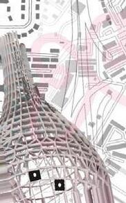
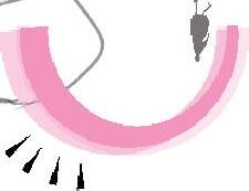
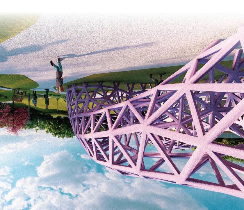
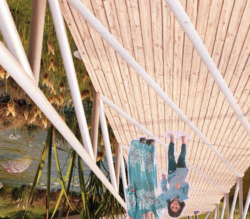
This arching pavillion serves as a landmark in the plaza. The arch formations become visual connections to the park.


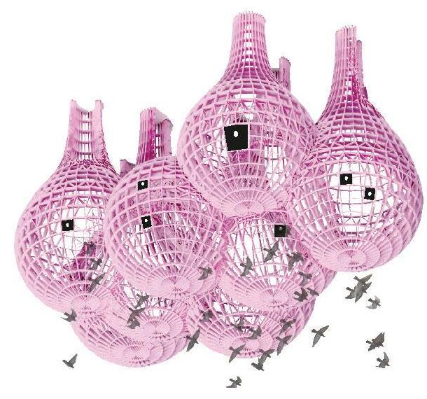
This pavillion has a biologically inspired form that aims to illustrate this project’s objective of including built infrastructure that serve local plants and animals.
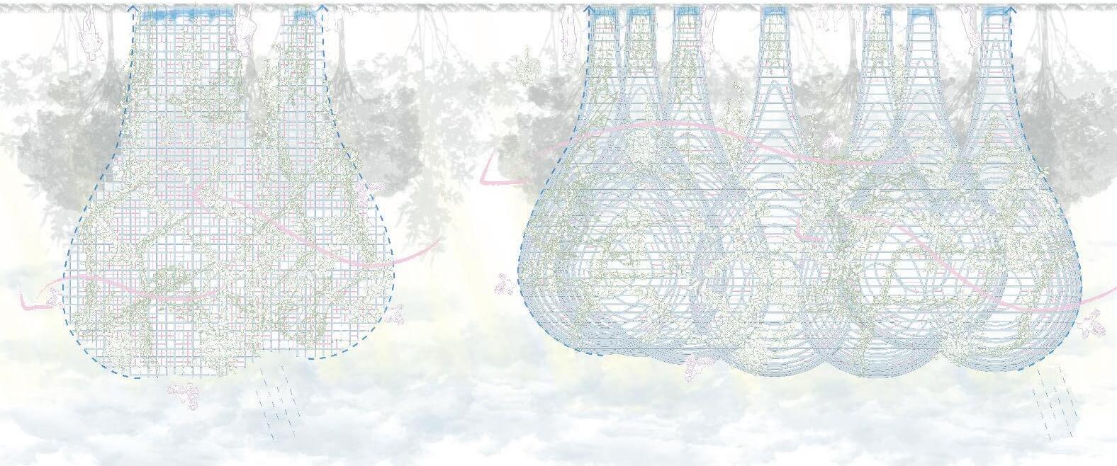
Form Diagrams
1. Exploring scale and connection 3-d 2. Horizontal contours
3. Creation of grid
Biology Informing Design
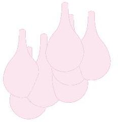
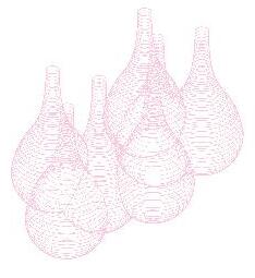
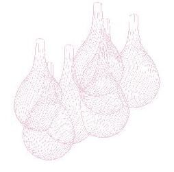
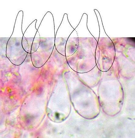
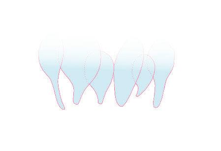
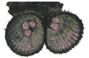
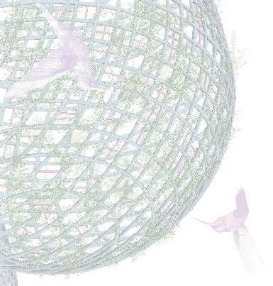
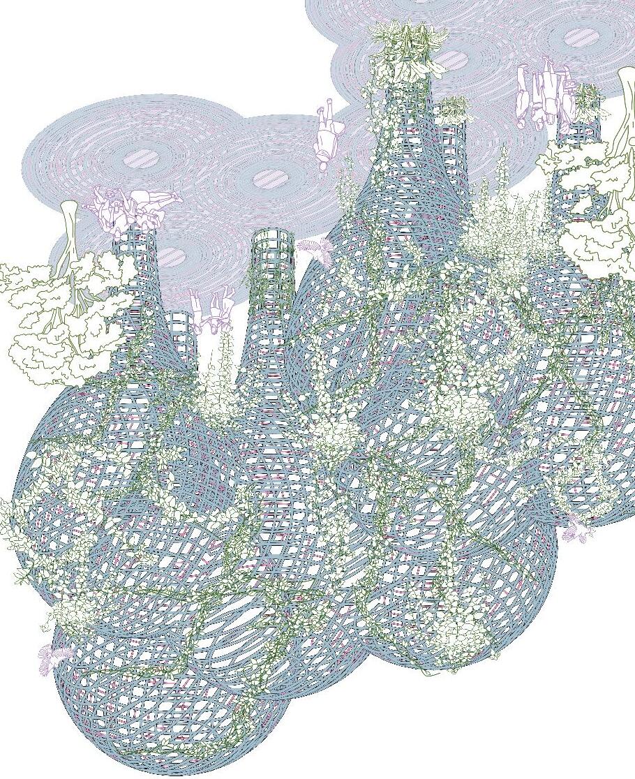
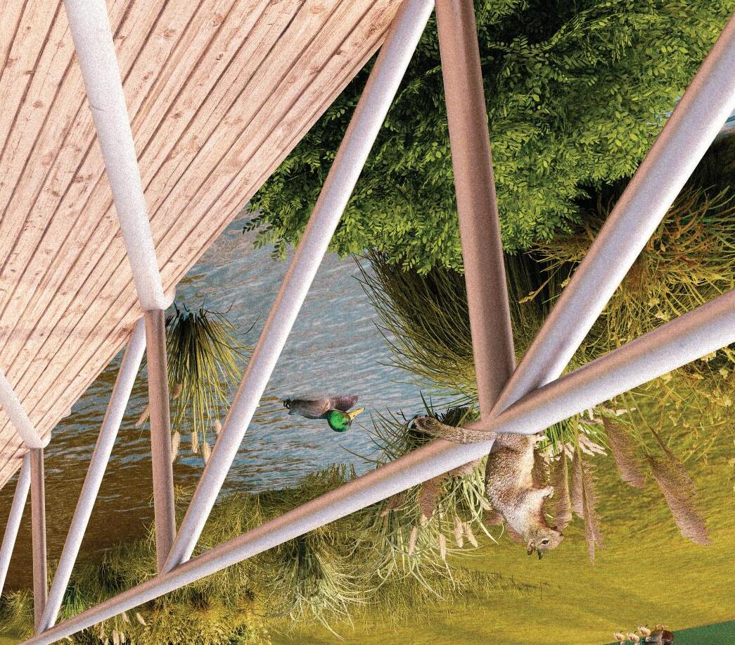
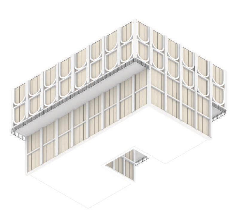
Growth and characteristics of fungi have served as inspiration in designing the form of this pavilion. The organic and dynamic form of the fungi has influenced the pavilion’s overall shape. The result is a design that utilizes the same growth principles as fungi to achieve an efficient structure.


The pavilion's open design allows for natural light and ventilation to flow through the structure. The circulation is designed to encourage exploration and discovery. Paths meander and reveal different views and experiences within the space. The column-like points create smaller, more intimate spaces within, providing opportunities for people to gather and interact.
The pavilion features a grid pattern that serves a practical purpose of allowing for the easy attachment of trellises for climbing plants.
This pavilion design promotes biodiversity and enhances the natural ecosystem of the area. The design is environmentally conscious, and the use of birdhouses adds an element of sustainability by encouraging natural pest control and reducing the need for harmful chemical pesticides.
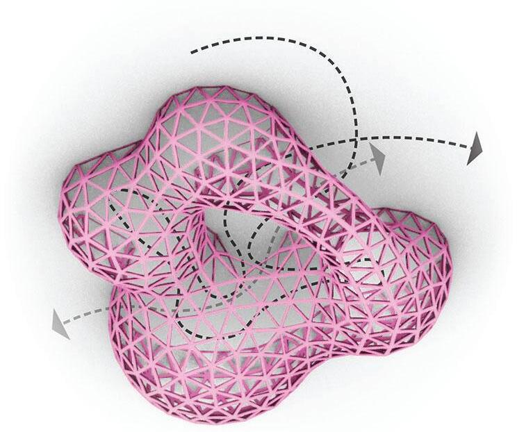
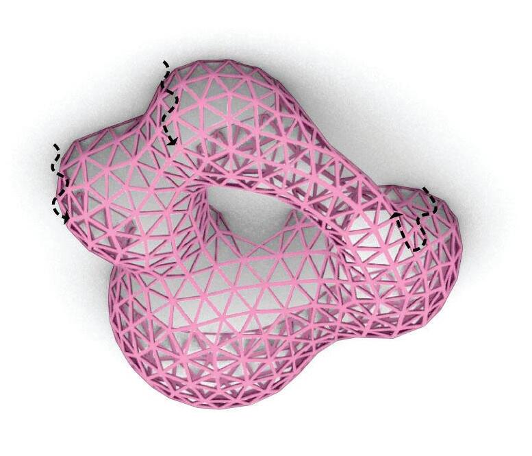
This pavillion has a biologically inspired form that aims to provide a node for residents of all ages and promote social interation, inclusivity and local economy
Alignment, Coheision and separation
Biology Informing Design
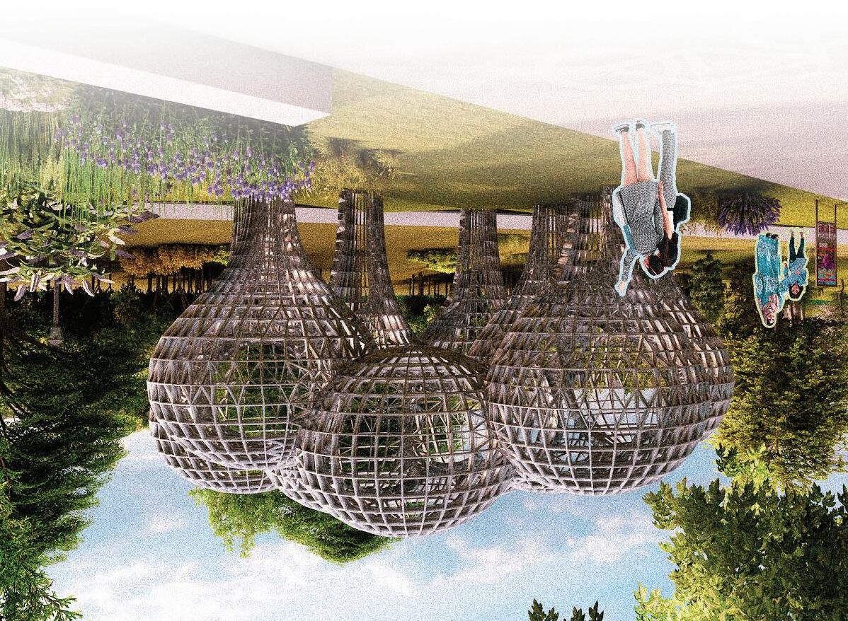
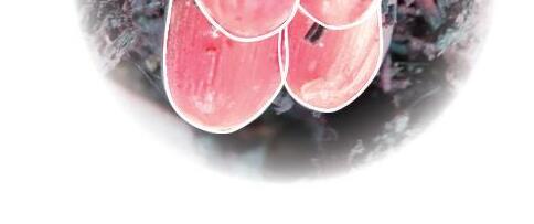
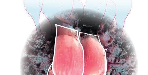
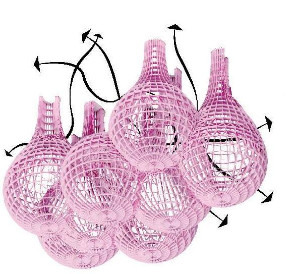
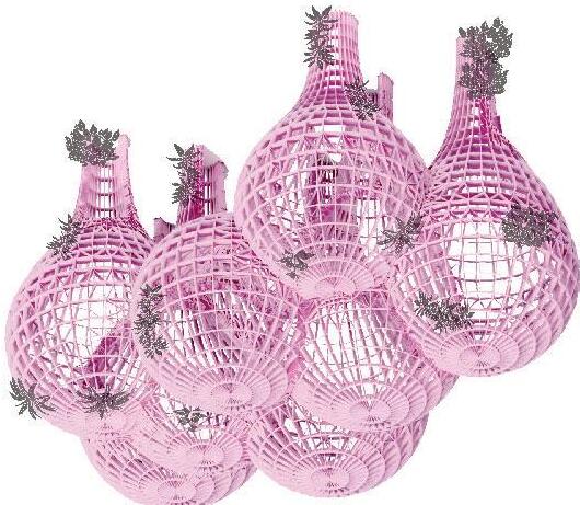
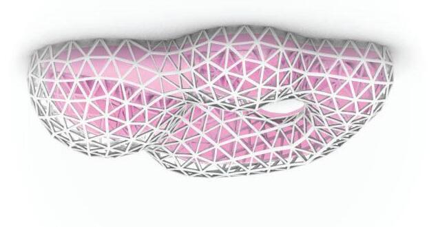
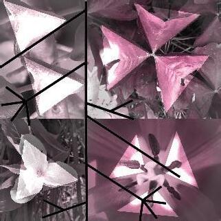
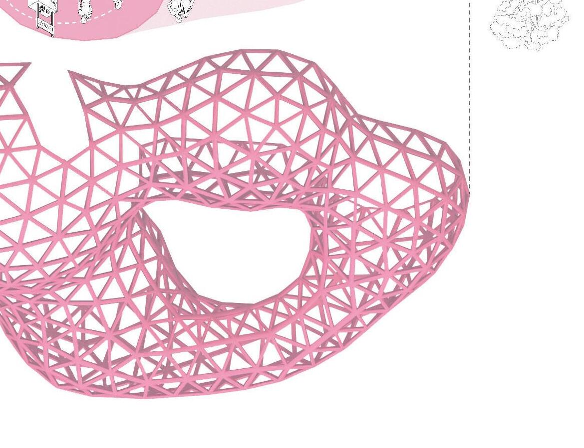
The pavilion’s form is inspired by the organic behavior of metaballs. The way that seeds and fruits are dispersed by trees has inspired the circulation and movement within the pavilion, with pathways and open spaces that allow for natural flow and connection between different areas of the structure. The triangular form commonly found in nature, has inspired the structure. Additionally, the triangular shapes provide an efficient way to distribute loads throughout the pavilion, enhancing its structural integrity. Overall, the design of the pavilion seeks to emulate the beauty and efficiency of nature’s systems, creating a harmonious and sustainable space for people to gather and interact.


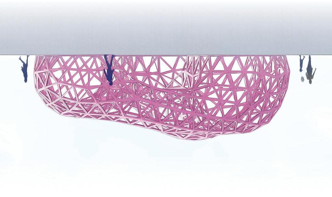
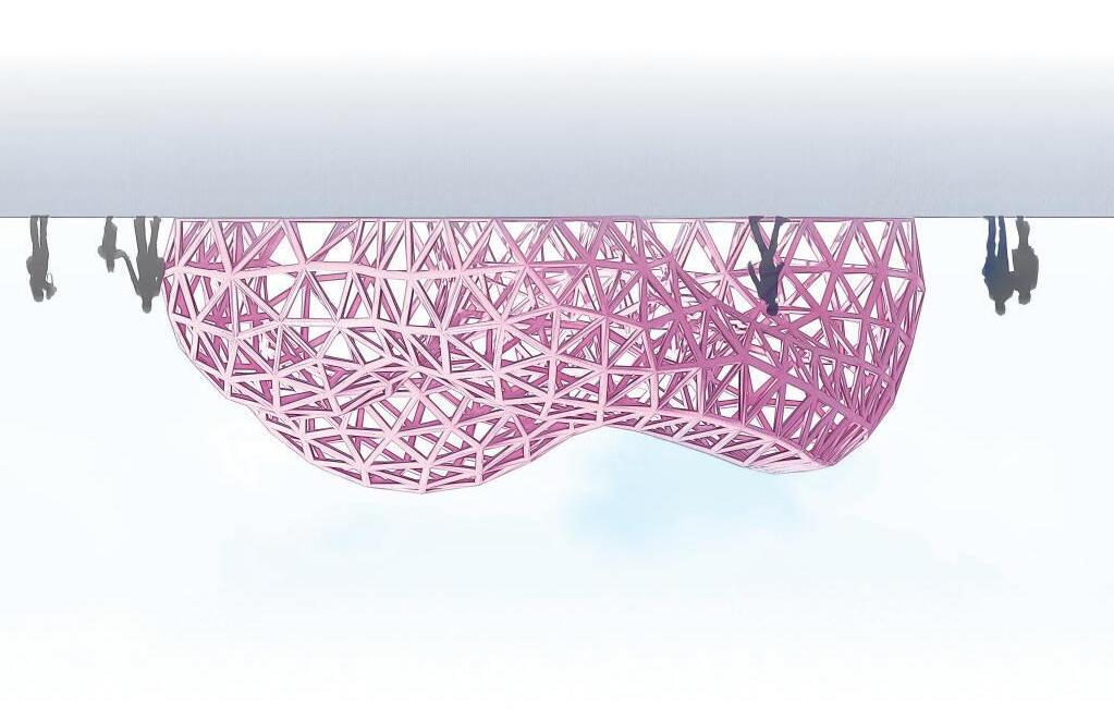
Due to the free form structure of the shell, visitors can move within the space with ease. The open structure allows for unobstructed views and natural ventilation, creating a comfortable and immersive experience for visitors. This free-flowing circulation creates an organic and fluid feeling within the pavilion, as visitors can move through the space in a variety of ways.
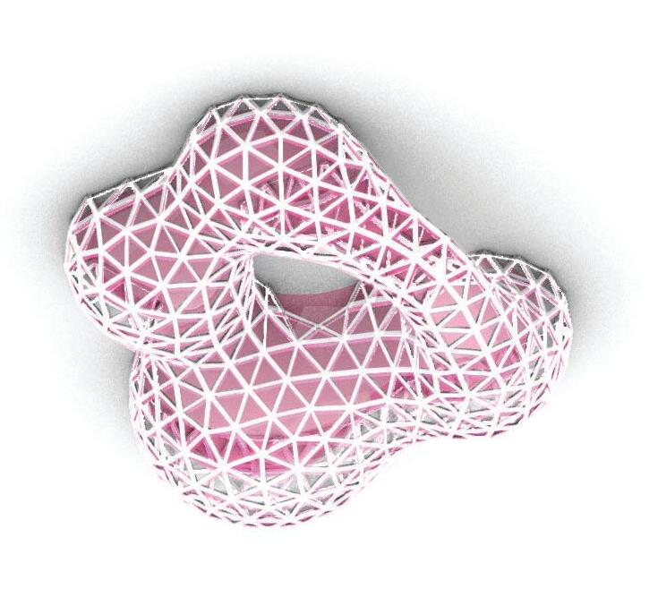
The pavilion is designed to provide a tactile and interactive experience for its users. The structure offers various opportunities for engagement, such as climbing and hanging objects. The structure pattern of the pavilion encourage users to touch and feel through the voids. The design aims to create a sense of playfulness and curiosity, inviting visitors to explore the space and interact with it in creative ways.
Designed with the principles of metabolism. It responds to the dynamic behavior of its surroundings. In this case, the pavilion’s form is inspired by the organic behavior of metaballs, which are a mathematical representation of the way particles move and interact with each other. The use of this principle of metabolism in the pavilion’s design emphasizes the connection between the built environment and the natural world.


space for social interaction and inclusivity
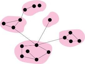
Designing the geometric configuration of the form
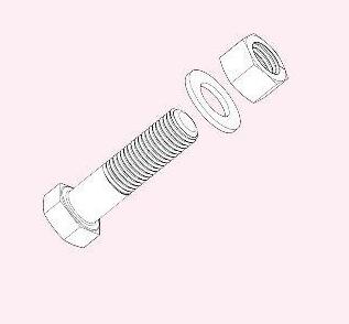
Bolt
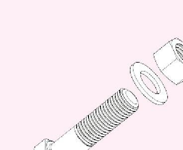
Typical steel bar and bracket connection

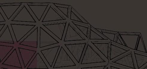
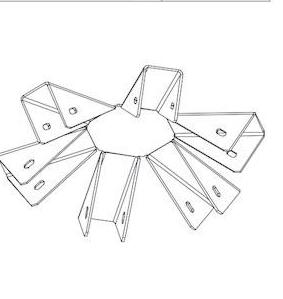
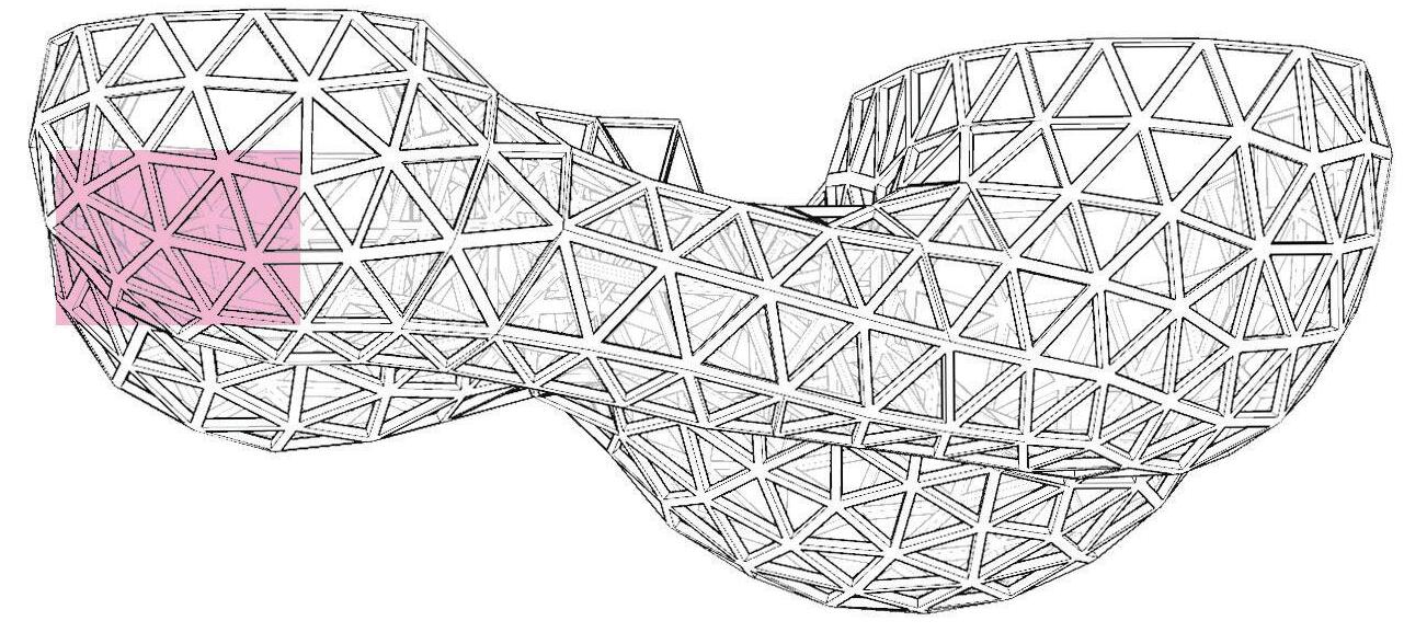
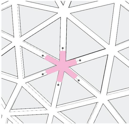
Node Hub
Different hubs types designed based on the angles of the edge and vertix connection

Edges + vetices defined for construction: node brackets and steel bars


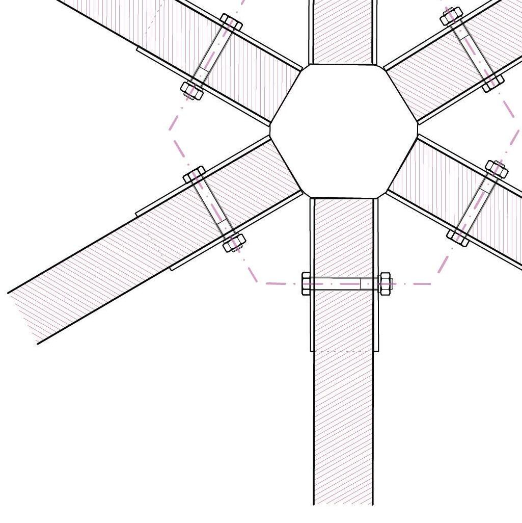


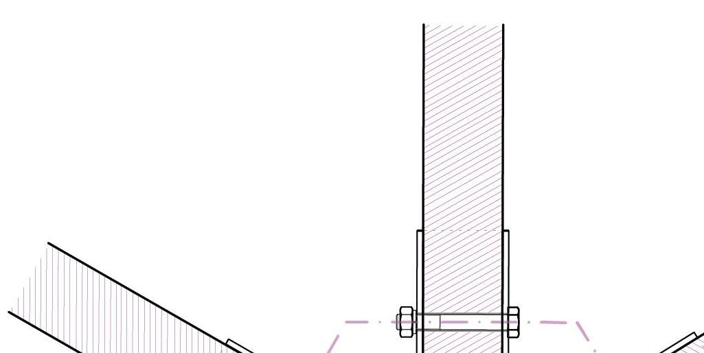
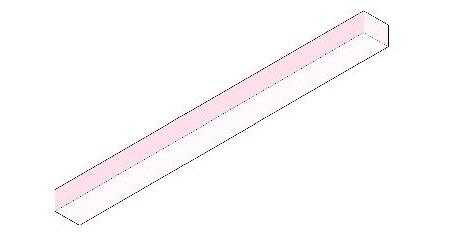
Steel Bar
All steel bars have the same length in order to maintain the geometry of the structure
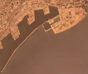
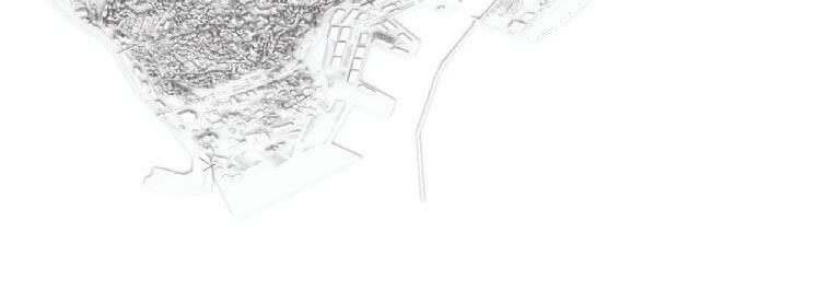
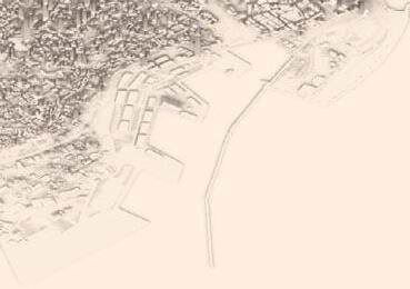
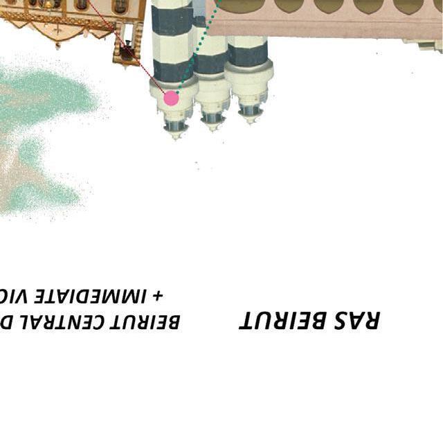
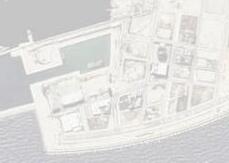
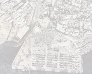
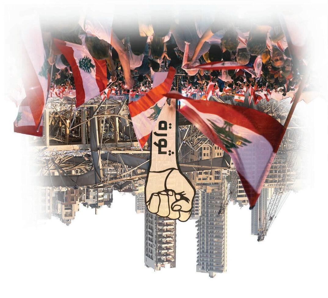
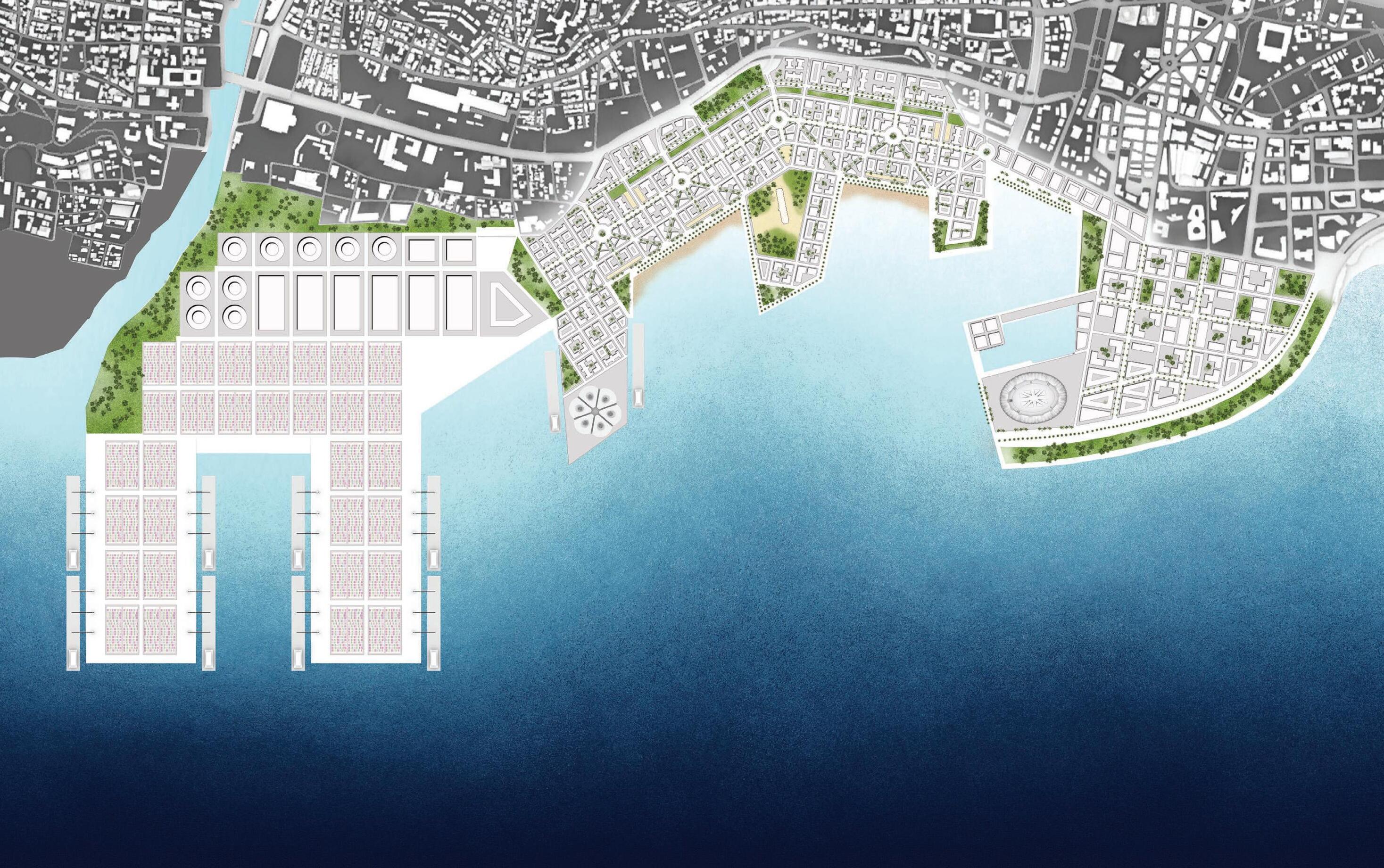
Reimagining Beirut’s Port through Historic Design Principles for Economic Growth and Enhanced Quality of Life
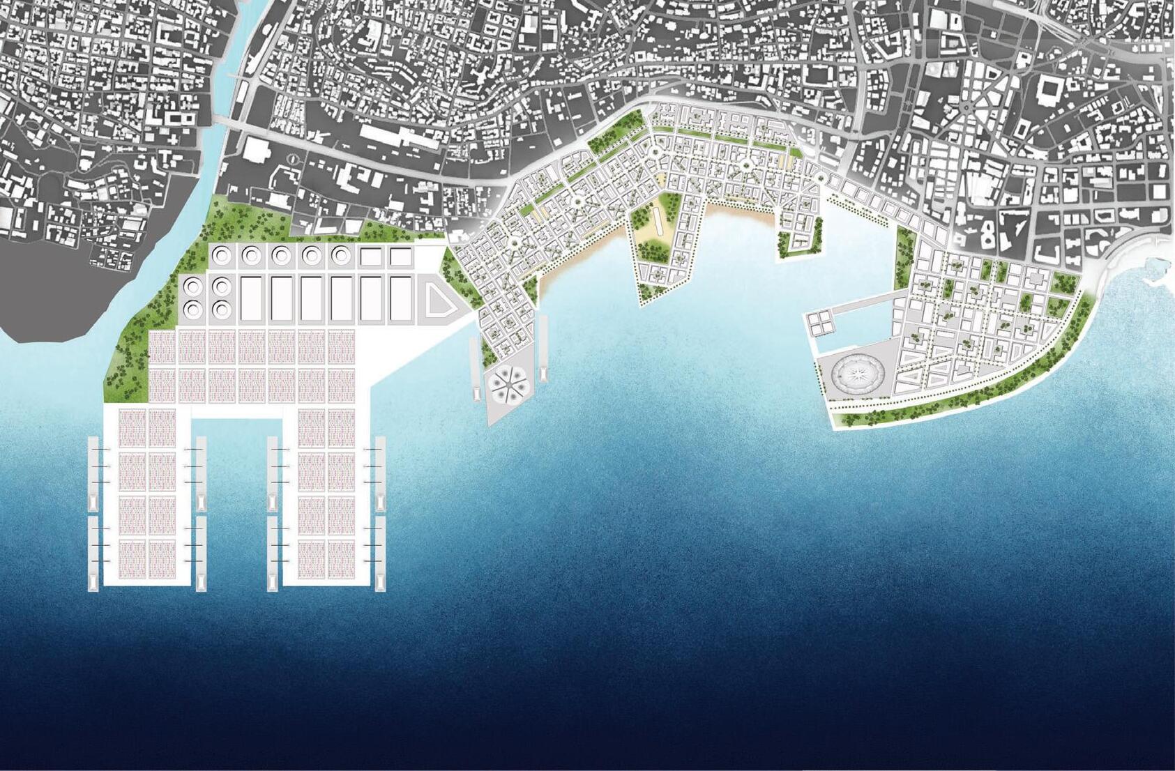


Beirut, Lebanon
In the wake of tragic events, this project in Beirut, Lebanon aims to propel the region towards economic prosperity while honoring its rich cultural heritage. By revitalizing the port infrastructure, it serves as a catalyst for trade, investment, and commercial activities, positioning Beirut as a regional economic
powerhouse. The project embraces a comprehensive vision, combining economic growth, cultural preservation, and community well-being to create a vibrant and inclusive cityscape.
Inspired by historic Beirut’s design principles, the proposal successfully revitalizes the port, harmonizing economic and social
ambitions, and offering residents a rejuvenating and pedestrianfriendly lifestyle. Together, this project offers a hopeful solution for Beirut’s economy and the livelihoods of its people, overcoming past tragedies and charting a course towards a brighter future of prosperity and progress.


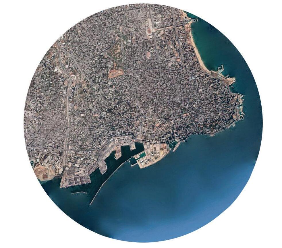


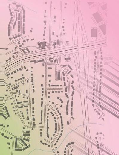
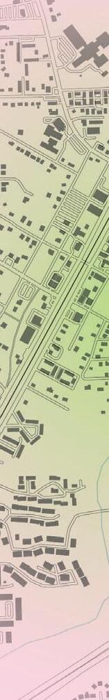
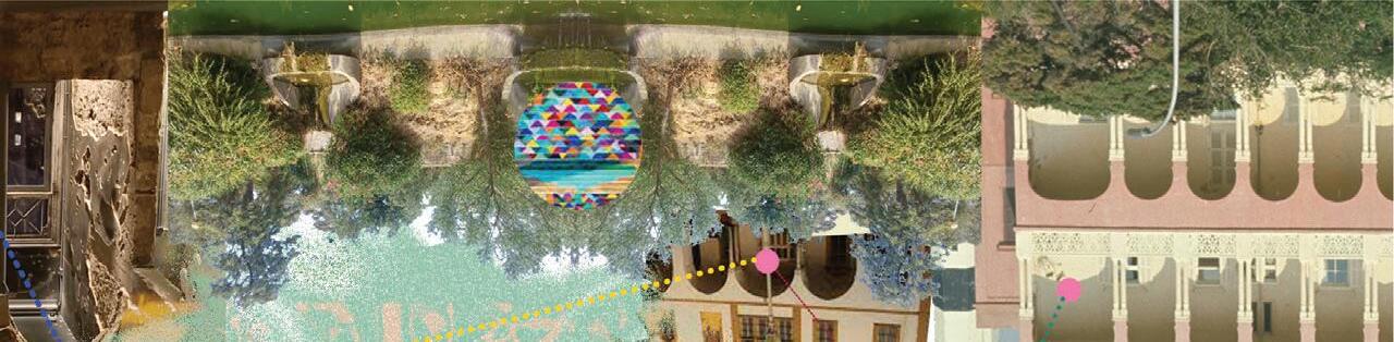
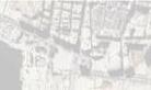
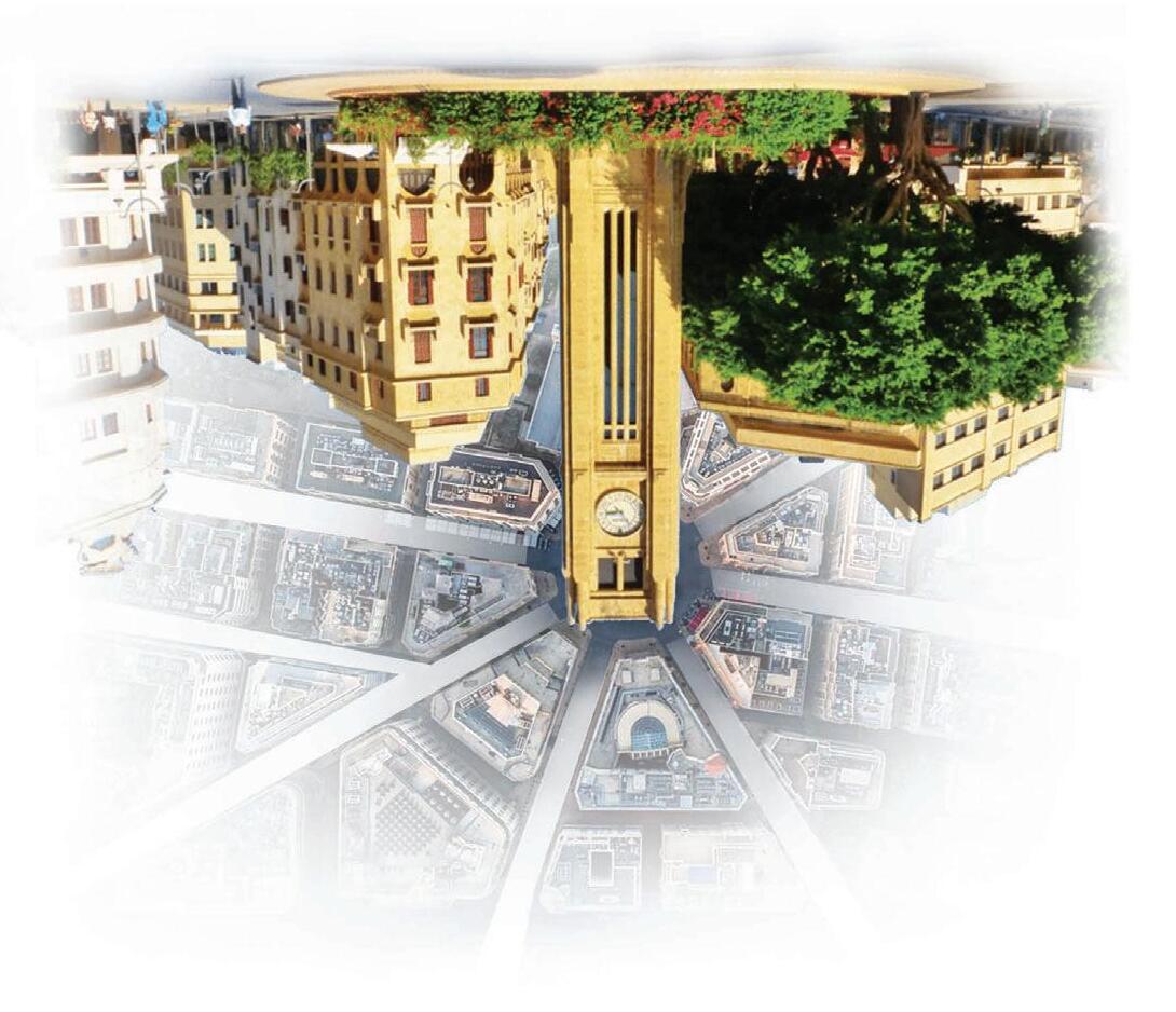
Each neighborhood has a signature feel reflective of its historic nature. These multicultural areas create a unique context for the site development. The nearby historic squares and art districts provide the opportunity to echo many of the signature architectural and cultural characteristics of the city.


Lebanon’s urban sprawl is characteristic of its complex past, with the “Green Line’ serving to culturally divide the city upon the conclusion of the decades long civil war. Typically Muslims have stayed the east while Christians lived in the west. The ”Solidere Site” anchors the route emphasizing this boundary.


a


While the effects of the explosion were experienced city-wide, the most damaging impacts were felt within this hierarchy of blast rings. Areas east of the explosion were the most damaged, while areas directly west were partially protected by large concrete silos.


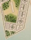
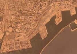
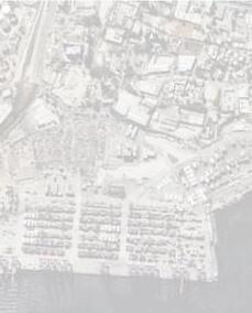
In this region of the city private ownership has severed coastal access to some of the city’s most populous areas. The location of the port relative to existing public coastline provides the opportunity for integration into and expansion of public access along the northern boundary with the sea.
Western Surroundings
Primarily mid to high rise commercial and mixed use developments. Wider avenues, larger block sizes, and a tall vertical condition.
Southern Surroundings
Primarily low to mid rise residential developments with a boundary marked by a wide vehicular highway and elevation change
Eastern Surroundings Heavily infrastructure.damagedUnused industrial parks and landfills offer potential expansion of port without penetrating urban space
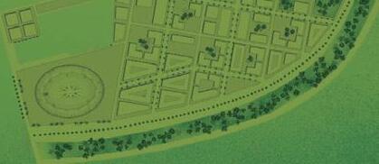
Integration Into Existing Network
Complementary extension of the downtown region, with a mix of mid to high rise developments that focus on business and culture.
Echo historic design strategies that prioritize density at a human scale. Mixed used residential developments, shared streets, and civic space. Connection to nature (greenspace and coast).
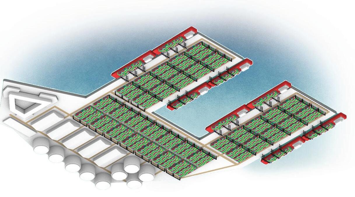
Localize port operations with safety buffers at its borders. Expand through land reclamation to not intrude on urban living space. Meet capactiy needs of 21st century.
The redevelopment responds to its surroundings, dynamically adapting and varying across the site. By carefully considering the context, the design reinforces an optimal balance between variability and cohesion, resulting in a design that harmonizes with the environment while offering distinct and diverse encounters throughout the site.
By relocating the breakwater barrier and dredging for area and depth expansion, the port will be able to support modern larger ships. Efficiency and safety drove the planning for this proposed scheme. The layout distributes operations in an optimal way, while also providing safety buffers between the operations and surrounding communites.


By applying historic strategies such as human scale, unique geometry, and a sense of enclosure, this achieves a harmonious blend of functionality, aesthetics, and experiential qualities. It ensures a comfortable and engaging environment while honoring the architectural heritage that inspires its creation.
The integration of local ecology prioritizes environmental sustainability, encourages biodiversity, and creates a harmonious relationship between human-made structures and the surrounding natural environment. It not only enhances the overall well-being of occupants but also contributes to the preservation and conservation of the local ecosystem
The expansion of civic spaces facilitates multicultural interaction, political expression, and artistic display. It provides inclusive gathering points, platforms for public discourse, and dedicated areas for artistic expression, fostering a vibrant and engaged community.
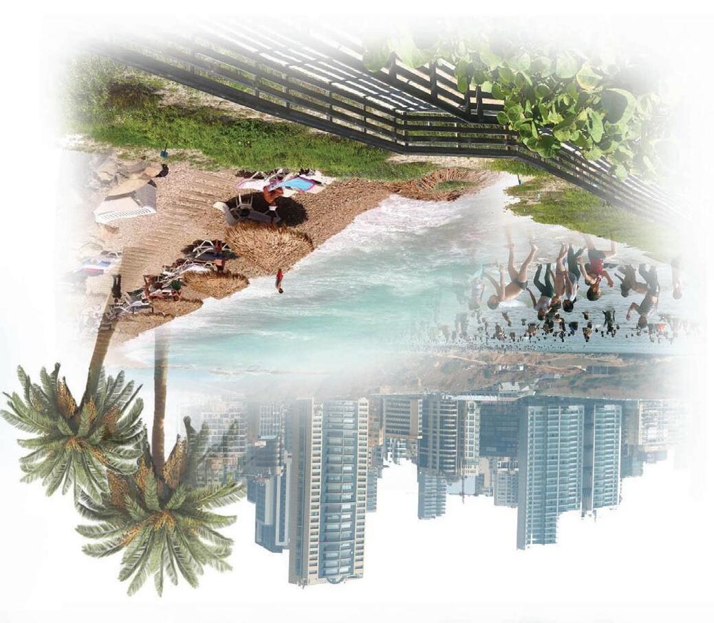
the restoration of the coast restores access, introduces new amenities, and embraces the local culture. It revitalizes the waterfront, creating opportunities for recreation, relaxation, and community engagement, while also celebrating the heritage and traditions of the area.
Maintaining a 90 degree angle across the variable coastline was a key design informant. Regions where the grid scheme warped became opportunities for optimally integrating public amenities such as parks and civic spaces. Beirut’s historic urban design strategies are implemented through the scale and geometry of the new grid. Triangulated cuts through typical blocks create pedestrian corridors that converge at points of interest along the coastline.


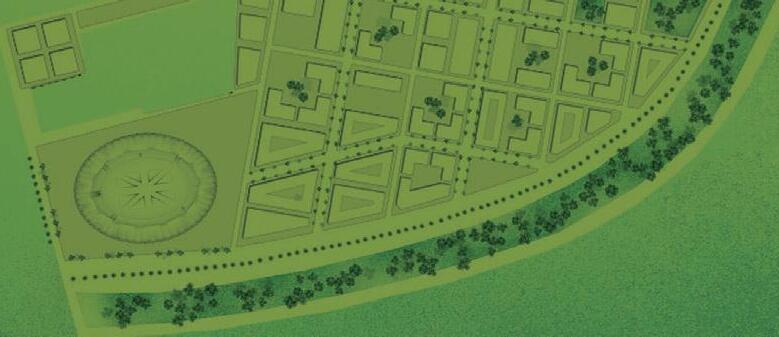


Development outlook would ideally distribute essential public amenities within each block cluster allow residents a walkable lifestyle. Balancing circulatory spaces for people, bikes, and cars. Integrating green, civic, and coastal space. Creating pedestrian corridors and areas for civic expression. Including essential amenities like healthcare and school facilities.
Guidelines


SidewalkPromenadeStepped ParkWater Shared Roadway


SidewalkPromenadeStepped ParkBeach Shared Roadway Waterfront Section + PlanBeachfront Section + Plan